The best mountain hikes around Tervuren
5.0
(1)
4
hikers
1
hike
Mountaineering routes around Tervuren traverse a landscape characterized by extensive green spaces, including large parks and sections of the Sonian Forest. The terrain is generally low-lying and gently rolling, with the highest points reaching around 86 meters above sea level. These routes primarily follow paths through woodlands, meadows, and landscaped arboretums, offering varied forest environments.
Best mountaineering routes around Tervuren
- The most popular mountaineering route is Gravel trail in Uccle – Geleytsbeek loop from Forest-Est - Vorst-Oost, a 8.0 miles (12.9 km) trail that takes 3 hours 26 minutes to complete. This route features a moderate elevation gain of 472 feet (144 meters) through varied terrain.
- Another top favourite among local mountaineers is Drowned Children Ponds – Sonian Forest loop from Watermael-Boitsfort - Watermaal-Bosvoorde, a moderate 5.2 miles (8.4 km) path. This route winds through the Sonian Forest, passing by ponds and offering a gentle elevation gain of 301 feet (92 meters).
- Local mountaineers also love the Weertse Dreef, Meerdaal Forest – Warandedreef in Meerdaalwoud loop from Vaalbeek, a 10.1 miles (16.3 km) trail leading through Meerdaal Forest, often completed in about 4 hours 18 minutes.
- Mountaineering around Tervuren is defined by extensive beech forests, diverse arboretums, and tranquil parklands. The network offers options for different ability levels, primarily on well-maintained paths.
- The guide includes highly-rated routes that showcase the best of the region's landscape.
Last updated: July 4, 2026
2
hikers
12.9km
03:26
140m
140m
Moderate mountaineering route. Good fitness required. Easily-accessible paths. Suitable for all skill levels.
1
hikers
Moderate mountaineering route. Good fitness required. Easily-accessible paths. Suitable for all skill levels.

Sign up for free
5.0
(1)
1
hikers
7.89km
02:02
30m
30m
Moderate mountaineering route. Good fitness required. Easily-accessible paths. Suitable for all skill levels.
Our route recommendations are based on thousands of hikes, rides, and runs completed by other people on komoot.
Start today with a free account
Your next adventure awaits.
Login or Signup
Popular around Tervuren
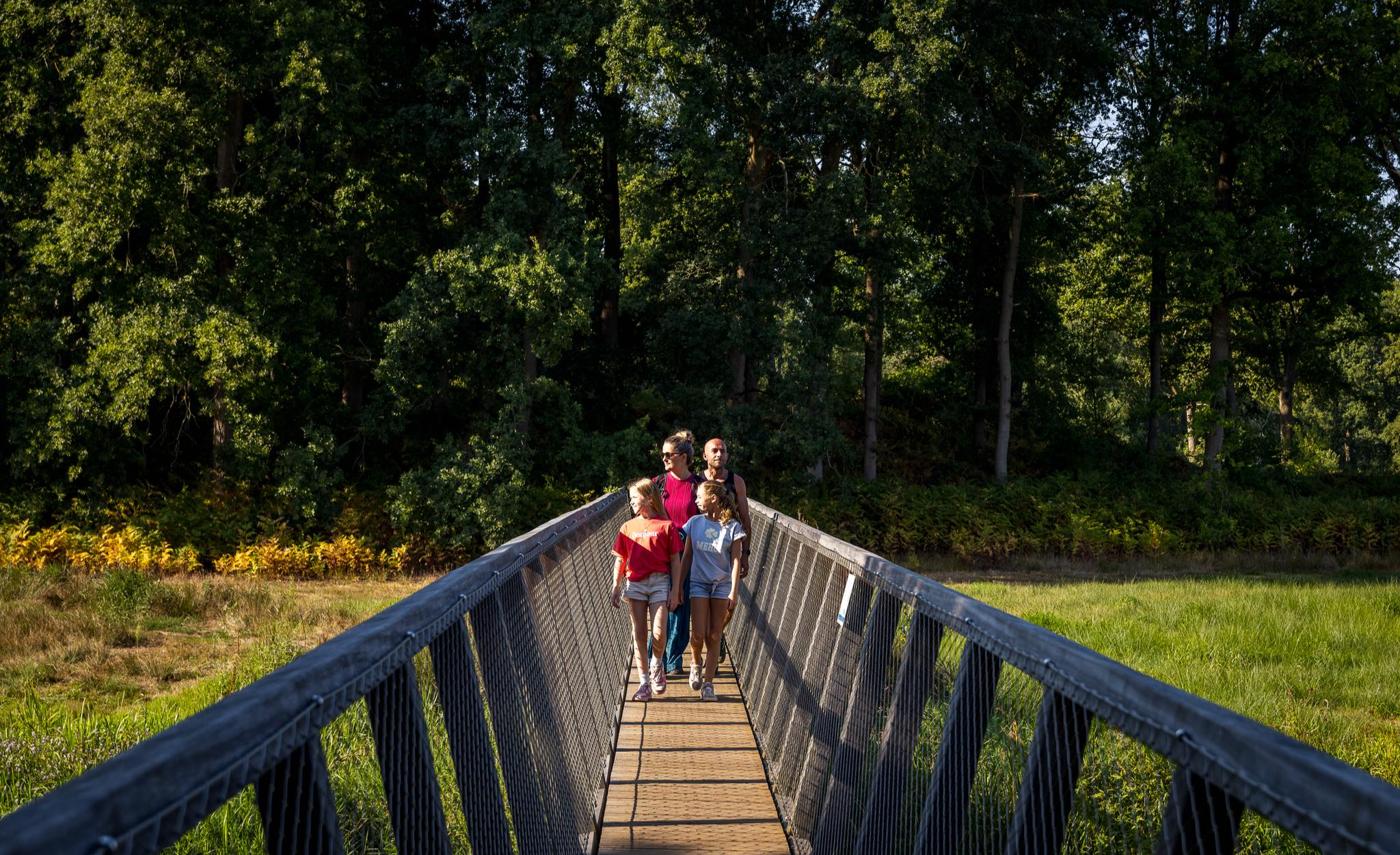
Flanders’ Finest Hiking Routes
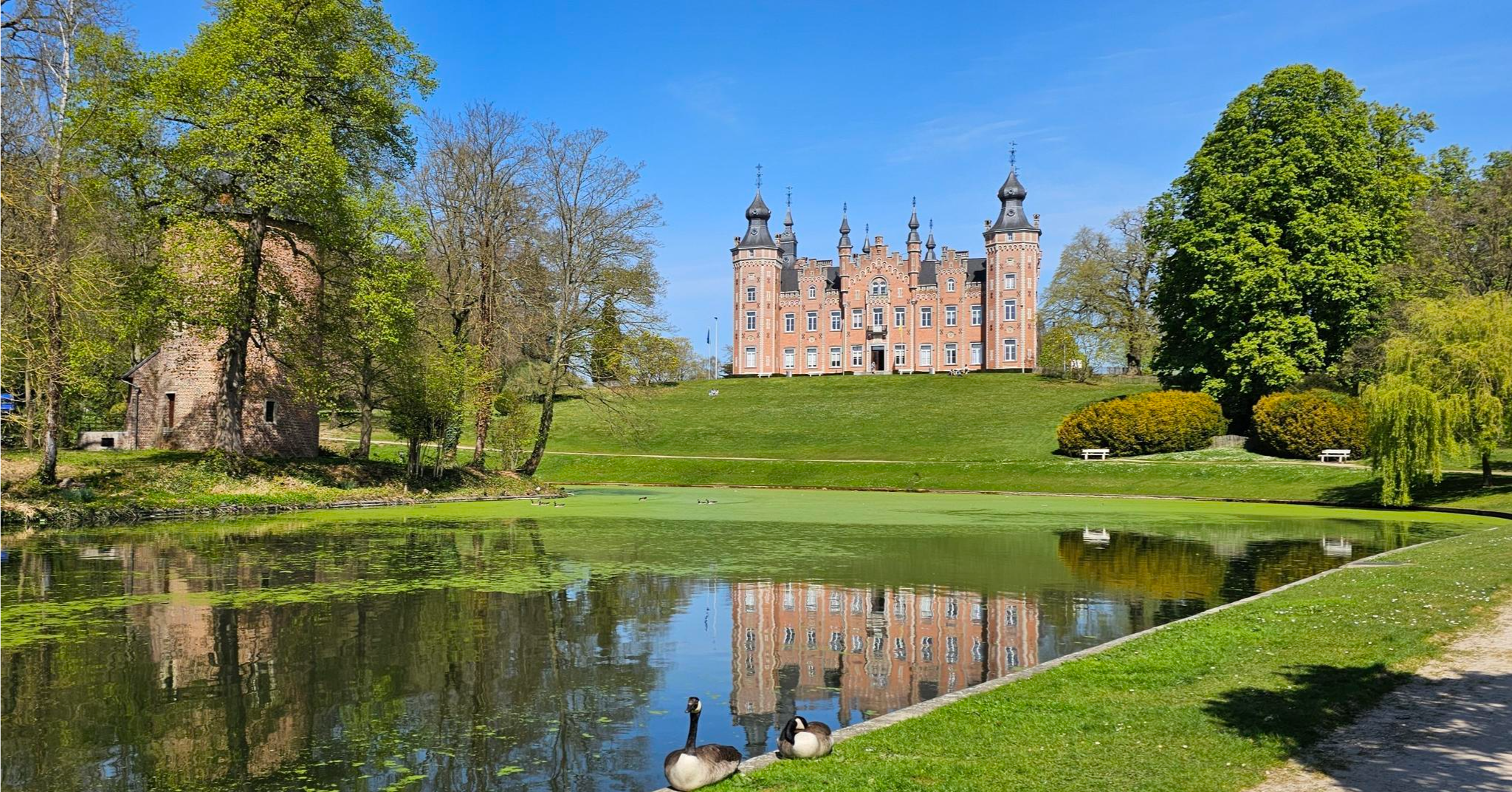
Tour around Brussels – Streek-GR Groene Gordel
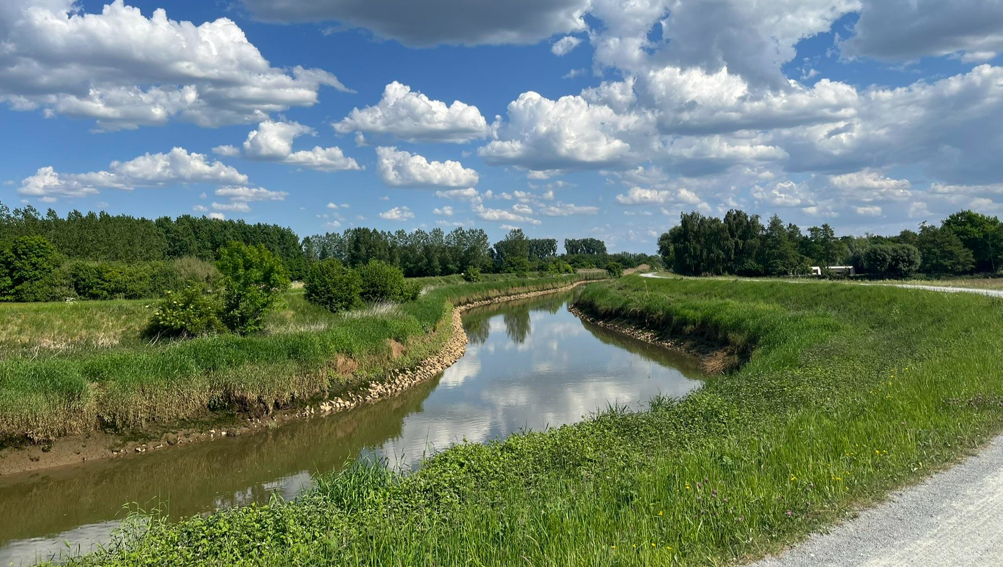
Through the valley of the Dijle – Streek-GR Dijleland
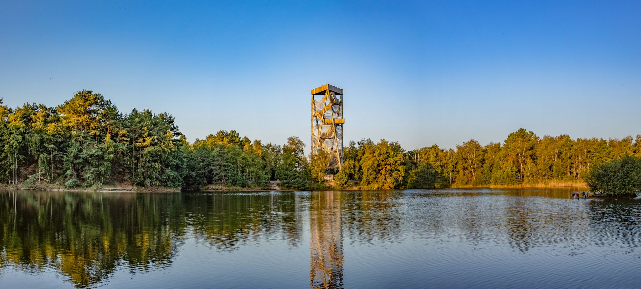
Art, culture and more – hiking in Belgium’s Flanders
Hiking around Tervuren
Running Trails around Tervuren
Cycling around Tervuren
MTB Trails around Tervuren
Road Cycling Routes around Tervuren

Gravel biking around Tervuren
Other adventures around Tervuren


Tips from the Community

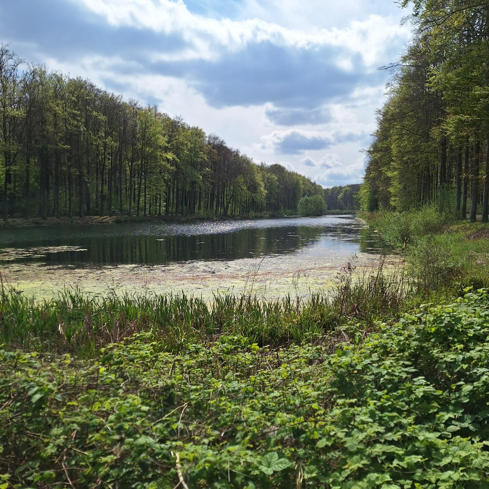
A solid wood bridge crosses the Horseshoe Pond, which is thus divided into two parts.
3
0

The arboretum in Heverlee is the starting point of the so-called path of Ad, which is no less than 26.2 km long, where you will discover forest figures by tree artist Ad Wouters in various places. Officially it is called: "Soft bears, mischievous gnomes, modern Neanderthals, metre-high mushrooms and other playful figures turn the Meerdaalwoud and the Heverleebos into real fairytale forests. The wooden sculptures are the work of local tree artist Ad Wouters and turn your walk into a fun quest full of wonder. Ad cuts the forest figures from the trunks of dead oaks." And you can find all the information at https://www.visitvlaamsbrabant.be/wandelen/vind-een-wandeling/het-pad-van-ad
7
0

A narrow footpath winds through the Sonian Forest and takes you past impressive beech trees that give the forest its characteristic green glow. The path is surrounded by dense vegetation, so you can fully immerse yourself in the peace and nature of this ancient forest. An ideal route for walkers who want to enjoy a piece of pure, untouched nature close to the city.
1
0
Parc Tournay-Solvay is a beautiful historical park that extends around a former castle estate, with romantic walking paths, lush gardens and a rich variety of trees and plants. In addition to serene ponds and charming bridges, the park also offers panoramic views over the Sonian Forest, making every walk a special experience.
0
0
The Geleytsbeek is a small, picturesque stream that flows through the south-west of the Brussels-Capital Region and several municipalities in Flemish Brabant. This stream rises in Sint-Pieters-Leeuw and meanders through a mix of urban and green areas, including parks, forests and farmland. The Geleytsbeek plays an important role in local nature conservation projects, working on water purification and restoring natural banks to promote biodiversity. A beautiful place to walk and enjoy nature close to the city.
0
0
This beautiful gravel path in Ukkel winds through the greenery on the edge of Brussels and offers mountain bikers an ideal mix of slightly challenging terrain and beautiful surroundings. The route goes through densely vegetated areas and open vistas, with occasional roots and small stones that keep the ride exciting.
0
0

The Sonian Forest is an exceptional, vulnerable and ancient forest that is also recognized as a UNESCO World Heritage Site. The forest extends across the three Belgian regions and is one of the best-known and most visited green spaces in the region.
3
0
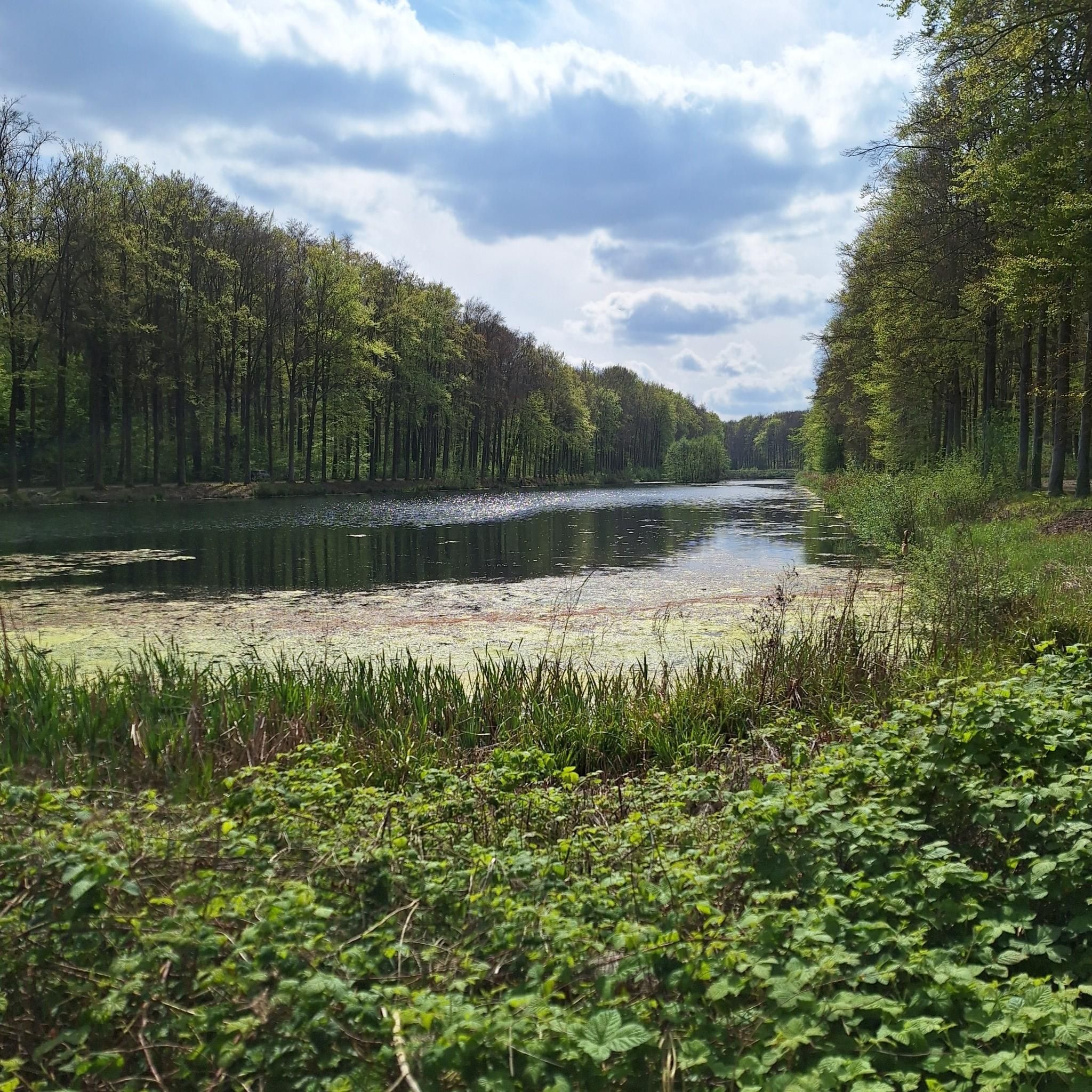
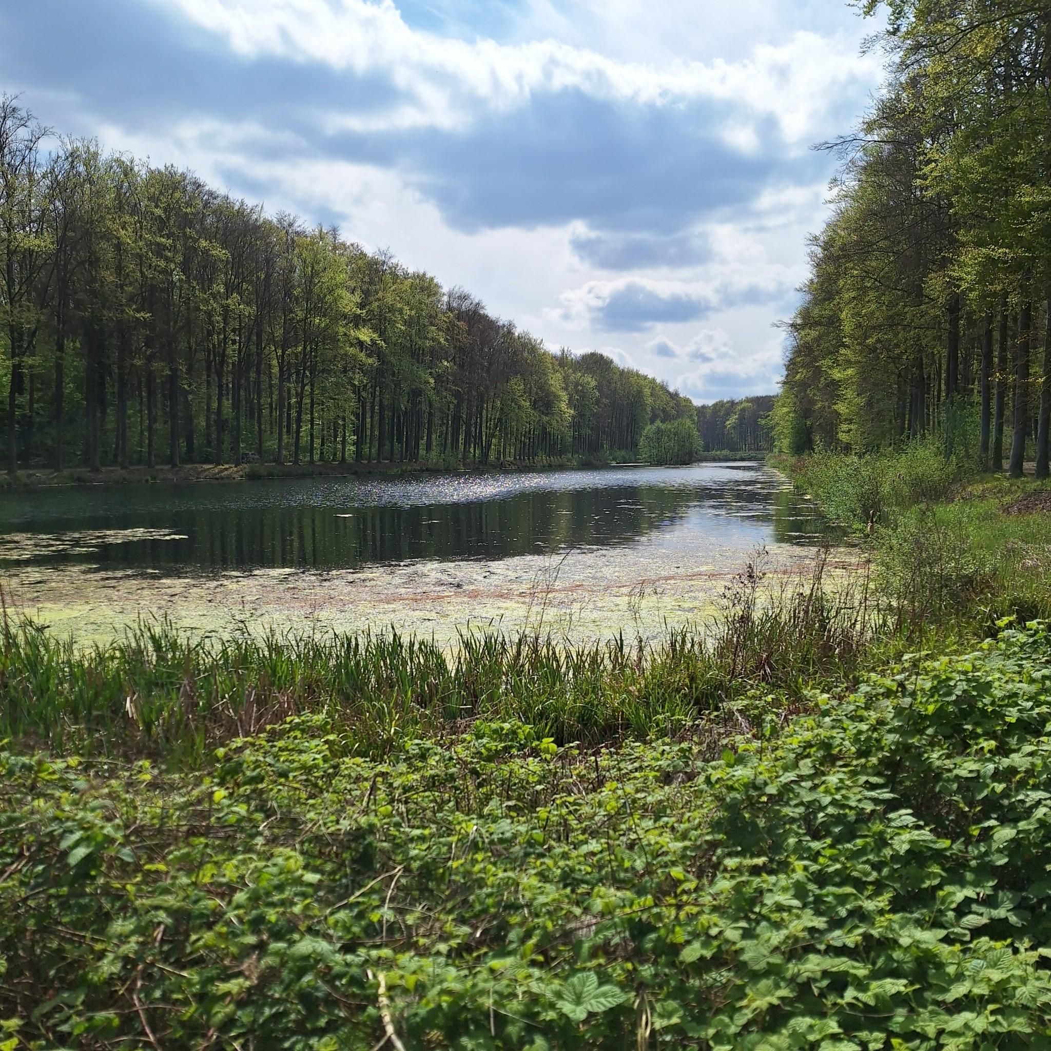
The Boitsfort ponds are located in Watermaal-Bosvoorde, between the Sonian Forest and the Tournay-Solvay park, on the edge of the International School park. This valley in Boitsfort consists of three consecutive ponds, connected by the Karregat, a tributary of the Woluwe. The variety of environments is great, with alternating moist forests, open vistas and a reed field. It is an extremely suitable place for amphibians and a favorite hunting ground for dragonflies.
4
0
Frequently Asked Questions
What kind of terrain can I expect on mountain hiking routes around Tervuren?
The terrain around Tervuren is characterized by generally low-lying and gently rolling hills, with the highest points reaching around 86 meters above sea level. You'll primarily find paths through extensive green spaces, including woodlands, meadows, and landscaped arboretums within Tervuren Park and the Sonian Forest. These routes offer varied forest environments, making them more akin to challenging walks than traditional mountaineering.
Are there any circular mountain hiking routes in the Tervuren area?
Yes, many of the routes around Tervuren are circular, allowing you to start and end at the same point. For example, the Gravel trail in Uccle – Geleytsbeek loop from Forest-Est - Vorst-Oost is an 8.0-mile (12.9 km) loop, and the Drowned Children Ponds – Sonian Forest loop from Watermael-Boitsfort - Watermaal-Bosvoorde offers a moderate 5.2-mile (8.4 km) circular path through the Sonian Forest.
What are the typical distances and durations for mountain hiking routes near Tervuren?
Routes in the Tervuren area vary in length and duration. You can find shorter options like the Ad's Trail Sculptures loop from Vaalbeek, which is about 4.9 miles (7.9 km) and takes around 2 hours. Longer routes, such as the Weertse Dreef, Meerdaal Forest – Warandedreef in Meerdaalwoud loop from Vaalbeek, can be up to 10.1 miles (16.3 km) and take over 4 hours to complete.
Are there any interesting landmarks or natural features to see along the routes?
Absolutely! The routes often pass through or near significant natural and historical sites. You can explore the vast collection of trees at the Geographical Arboretum of Tervuren, or enjoy the scenic beauty of the Ponds of Tervuren Park. The Drowned Children Ponds are also a notable feature within the Sonian Forest, offering tranquil waterscapes.
What is the best time of year to go mountain hiking in Tervuren?
Tervuren's green spaces, including the Sonian Forest and Tervuren Park, are beautiful year-round. Spring brings blooming flora, while autumn offers stunning foliage, particularly from the magnificent beech trees. Summer provides lush greenery and pleasant temperatures, and even winter walks can be serene, especially after a fresh snowfall. The well-maintained paths make most routes accessible in various seasons.
Are the mountain hiking routes in Tervuren suitable for families?
Yes, many routes are suitable for families, offering gentle elevation gains and well-maintained paths through parks and forests. The varied landscapes of Tervuren Park and the Geographical Arboretum provide engaging environments for children to explore nature. Always check the specific route details for distance and difficulty to ensure it matches your family's capabilities.
Can I bring my dog on the mountain hiking trails in Tervuren?
Many of the trails in Tervuren's parks and the Sonian Forest are dog-friendly, making it a great area to explore with your canine companion. However, it's always best to check local regulations for specific areas, as some nature reserves or protected zones might have restrictions or require dogs to be on a leash. Please ensure you clean up after your pet.
How can I get to the mountain hiking trailheads using public transport?
Tervuren is well-connected by public transport, particularly from Brussels. Several bus lines serve the area, and the tram line 44 connects Brussels to Tervuren Park, providing convenient access to many starting points for walks in the park and the Sonian Forest. Specific route starting points may vary, so check local transport schedules for the most direct access to your chosen trailhead.
Is there parking available near the mountain hiking routes in Tervuren?
Yes, there are several parking options available, especially near Tervuren Park and access points to the Sonian Forest. Designated parking areas are typically found close to popular entrances, making it convenient for those arriving by car. It's advisable to check for specific parking locations when planning your route.
What do other mountaineers enjoy most about mountain hiking in Tervuren?
The area is highly rated by the komoot community, with an average score of 5.0 stars. Reviewers often praise the tranquil woodlands, the diverse collection of trees in the arboretum, and the well-maintained paths that offer a peaceful escape into nature. The gentle rolling hills provide a pleasant challenge without being overly strenuous, making it enjoyable for a wide range of outdoor enthusiasts.
Are there any cafes or pubs near the mountain hiking routes in Tervuren?
Tervuren town center, located close to Tervuren Park and the Sonian Forest, offers a selection of cafes and pubs where you can relax and refuel after your hike. Many establishments are within walking distance or a short drive from popular trailheads, providing a convenient option for refreshments.
What is the difficulty level of mountain hiking routes in Tervuren?
The mountain hiking routes around Tervuren are generally considered moderate. While the region is not mountainous in the traditional sense, the routes feature gentle elevation gains and varied forest paths that provide a good workout. They are suitable for individuals with a reasonable level of fitness looking for engaging walks rather than strenuous climbs.
Most popular routes around Tervuren
Most popular attractions around Tervuren

Get inspired with the komoot mobile app


