The best mountain hikes around Farra Di Soligo
5.0
(3)
19
hikers
2
hikes
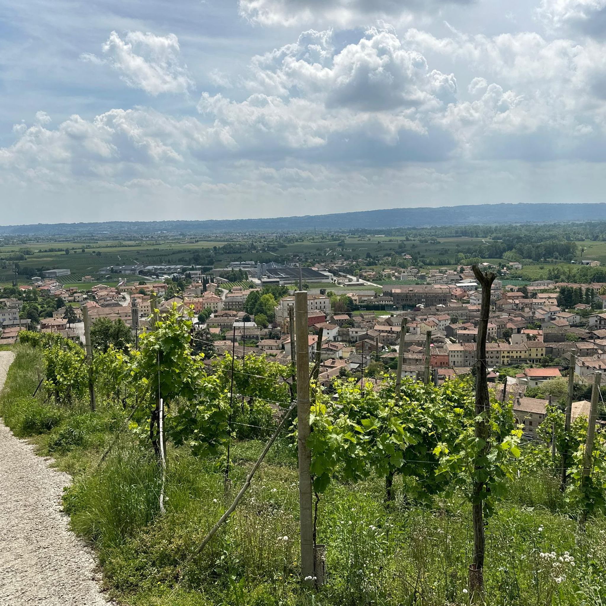
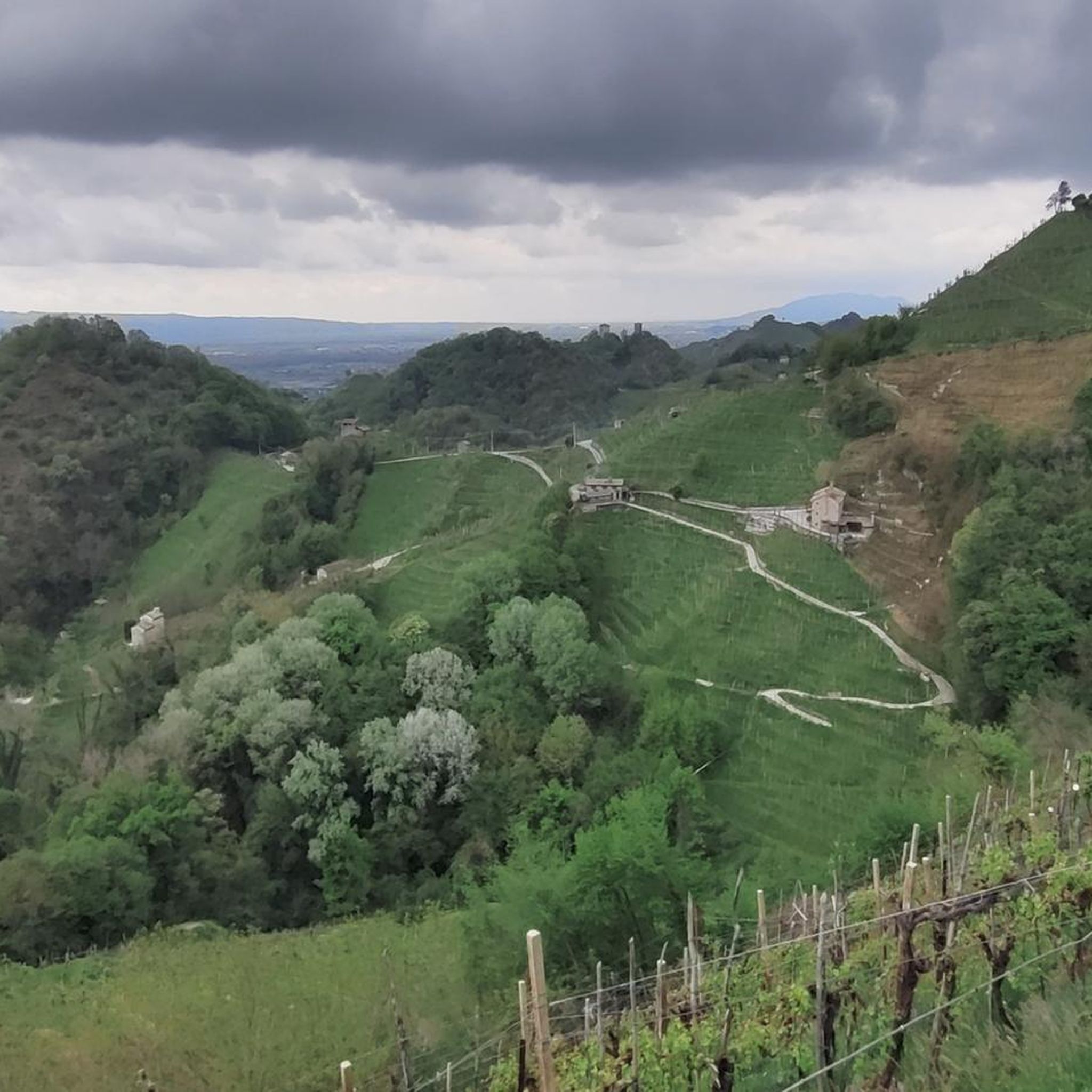
Mountaineering routes around Farra Di Soligo traverse a landscape characterized by rolling hills extensively covered with vineyards, part of the UNESCO World Heritage Site "Colline del Prosecco di Conegliano e Valdobbiadene." These hills are dissected by torrential streams, creating distinct valleys and featuring natural elements like the Rui Stort stream's "small canyon" with high conglomerate walls. From various points, mountaineers can experience views of the surrounding plain and the prealpine ridge, with areas of woods adding variety to the terrain.…
Last updated: July 4, 2026
5.0
(1)
11
hikers
9.90km
03:39
560m
560m
Moderate mountaineering route. Good fitness required. Mostly accessible paths. Sure-footedness required.
5.0
(1)
3
hikers
5.24km
01:46
220m
220m
Moderate mountaineering route. Great for any fitness level. Mostly accessible paths. Sure-footedness required.

Sign up for free
3
hikers
9.44km
05:33
980m
980m
Hard mountaineering route. Very good fitness required. Sure-footedness, sturdy shoes and alpine experience required.
5.0
(1)
2
hikers
11.7km
04:05
660m
650m
Moderate mountaineering route. Good fitness required. Easily-accessible paths. Suitable for all skill levels.
Our route recommendations are based on thousands of hikes, rides, and runs completed by other people on komoot.
Start today with a free account
Your next adventure awaits.
Login or Signup
Popular around Farra Di Soligo
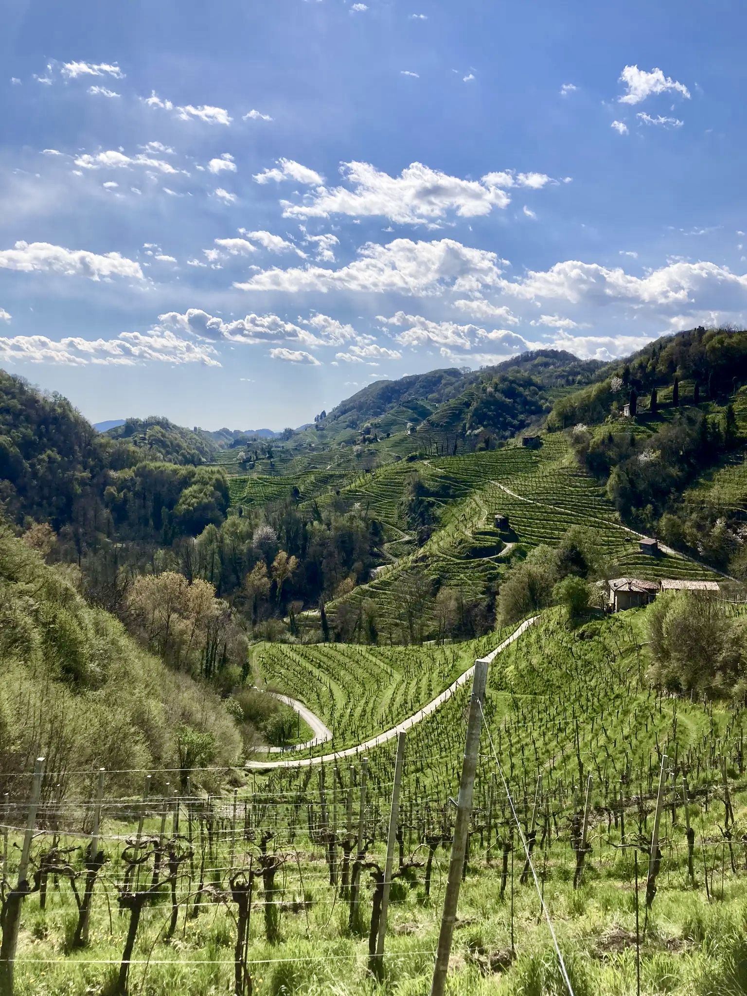
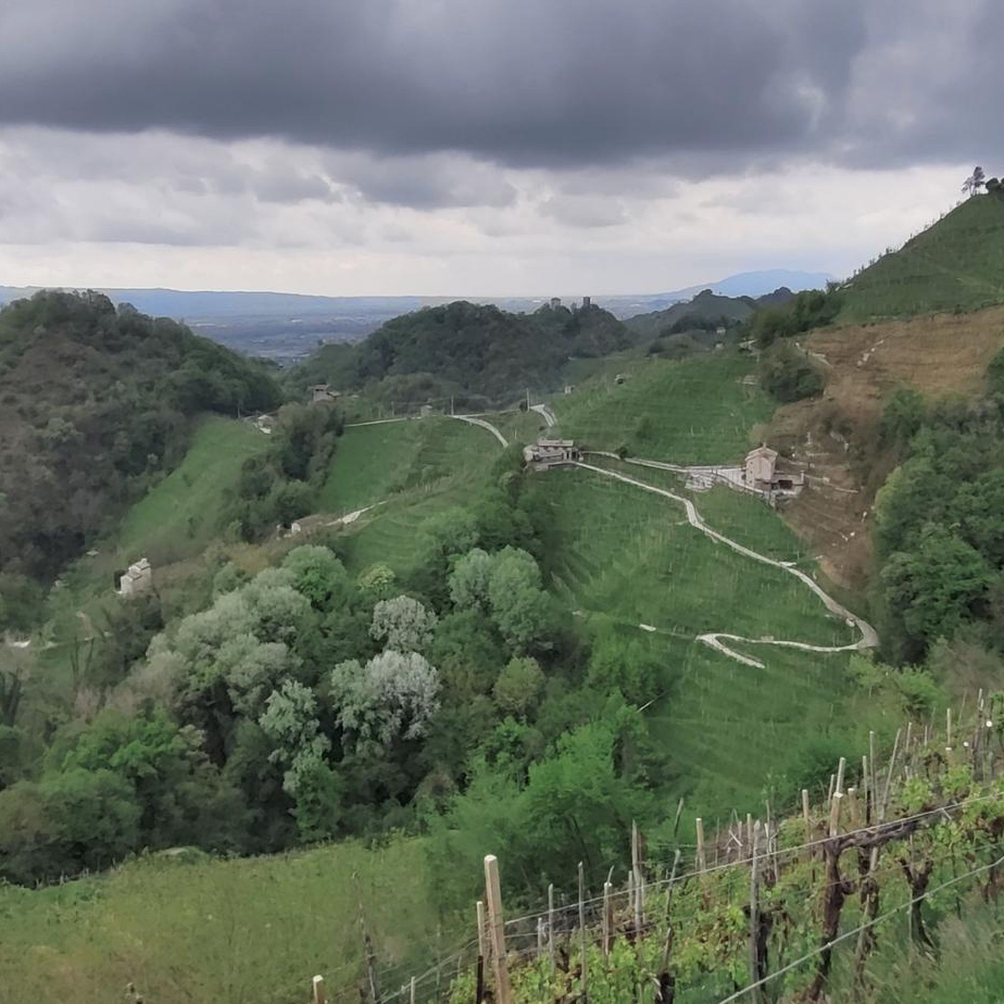
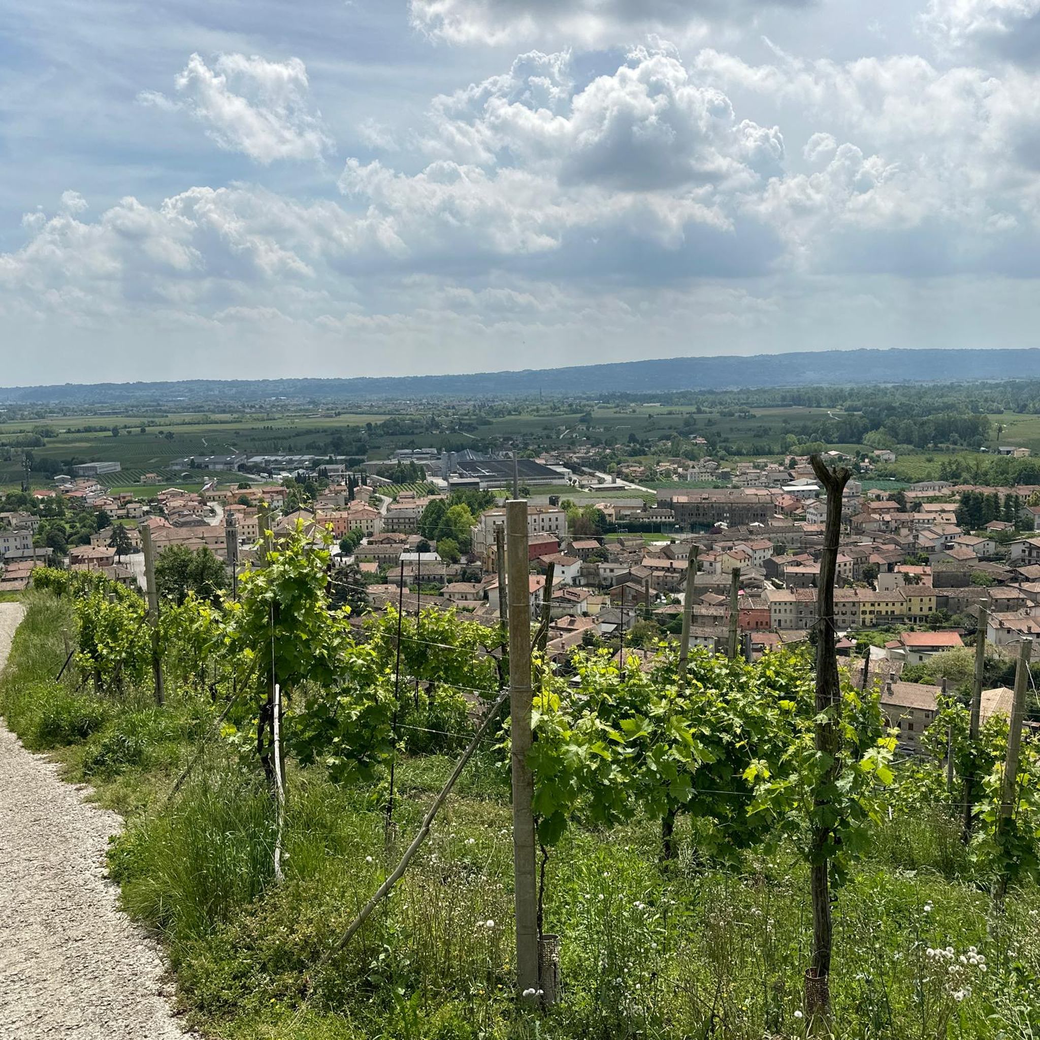

Other adventures around Farra Di Soligo

Tips from the Community

The summit of Passo San Boldo between the provinces of Treviso and Belluno.
12
0

There is no second time. Built in 100 days.
3
0

The Bivacco Marsini, also known as Casinet de Och, is a cozy refuge located at 370 meters above sea level on the hills of Refrontolo, in the heart of the Prosecco hills of Treviso. Restored from an old rural stone structure thanks to the commitment of volunteers, it offers a ground floor with a stove and a wooden loft for rest, as well as an outdoor area equipped with tables and a barbecue that offers a splendid panoramic view. The most frequented itinerary to reach it starts from the suggestive Molinetto della Croda and develops along an easy loop of about 8 kilometers with 300 meters of elevation gain, walkable in just over two hours via the CAI 1050 trail. This excursion, suitable for everyone and accessible in every season, perfectly combines nature, local history, and beautiful hilly views, representing the ideal destination for a relaxing half-day outing.
0
0


Il Cason de Bazin is a private hut located in Col de Fì, at 1200 m above sea level, on the ridge leading to Monte Zogo.
0
0

Panoramic summit, easily reachable from the Loff bivouac.
0
0

Besides being a beautiful climb, it is a masterpiece of road engineering.
3
0
Frequently Asked Questions
What kind of terrain can I expect on mountaineering routes around Farra Di Soligo?
The terrain in Farra Di Soligo is characterized by rolling hills extensively covered with vineyards, part of the UNESCO World Heritage Site. You'll find paths dissected by torrential streams, creating distinct valleys, and areas of woods. Expect significant elevation changes, offering a blend of naturalistic and historical insights.
Are there any circular mountaineering routes in the area?
Yes, several routes are designed as loops. For instance, the Bivacco dei Loff – Cima Vallon Scuro loop from Passo San Boldo is a moderate 9.9 km trail that takes about 3 hours 38 minutes to complete, offering views of the prealpine ridge.
What are some notable natural features or landmarks I might encounter?
You can explore the 'small canyon' carved by the Rui Stort stream, which features high conglomerate walls and the picturesque Gor della Cuna waterfall. The region also offers panoramic views from trails like the 'Vedette' ridge line, with distant glimpses of the Credazzo Towers.
Are there any historical sites along the mountaineering trails?
Absolutely. The Molinetto della Croda, a 17th-century rural mill built on bare rock, is a captivating example of local architecture. You can experience it on the Molinetto della Croda loop from Refrontolo, which also passes through vineyard-covered hills.
How challenging are the mountaineering routes in Farra Di Soligo?
The routes are generally considered moderate, with significant elevation changes that provide a good workout. For example, the Bivacco dei Loff – Crodon del Gevero loop from Bosco delle Penne Mozze is a moderate 7.9 km trail with nearly 790 meters of elevation gain, taking about 4 hours 28 minutes.
What is the typical duration for a mountaineering route in this region?
Route durations vary, but many moderate trails can be completed within a few hours. For instance, the Monte Zogo – View of the Valley loop from Valpiana is an 11.7 km route with over 660 meters of ascent, typically taking around 4 hours 5 minutes.
What do other mountaineers enjoy most about Farra Di Soligo?
The area is highly rated by the komoot community, with an average score of 5.0 stars from over 3 reviews. Mountaineers often praise the unique blend of challenging hikes, stunning natural scenery, and the rich cultural experiences amidst the vineyard-covered hills.
Is Farra Di Soligo suitable for family-friendly mountaineering?
While many routes feature significant elevation changes, the region offers a network of paths with varying difficulty levels. Some routes are described as having 'low' difficulty, making them more accessible for families looking for strenuous walks rather than advanced mountaineering. Always check individual route details for suitability.
Are there opportunities for wine tourism integrated with hiking?
Yes, the region's focus on Prosecco production means many routes traverse extensive vineyards. You can often integrate vineyard tours and wine tastings with your hiking experience, enjoying the unique landscape of the 'Colline del Prosecco di Conegliano e Valdobbiadene'.
What is the best time of year for mountaineering in Farra Di Soligo?
The region is generally enjoyable for outdoor activities throughout much of the year. Spring and autumn offer pleasant temperatures and vibrant landscapes, with blooming vineyards or rich fall colors. Summer can be warm, but higher elevation trails provide cooler air. Winter mountaineering might be possible on some routes, but conditions should be checked carefully.
Are there any specific viewpoints or panoramic spots?
Yes, from various vantage points along the trails, hikers can enjoy magnificent views of the surrounding plain and the prealpine ridge. The 'Vedette' trail, for example, is known for offering spectacular panoramic views.
Most popular routes around Farra Di Soligo
Most popular attractions around Farra Di Soligo

Get inspired with the komoot mobile app


Explore more
Browse the best Mountain Hikes & Routes in other regions.
