The best walks and hikes around Kamp-Bornhofen
4.6
(4910)
15,416
hikers
36
hikes
Hiking around Kamp-Bornhofen offers diverse trails through the Rhine Valley, characterized by its steep slopes, dense woodlands, and historic castles. The region features varied terrain, including riverside paths and elevated routes providing views of the river and surrounding hills. Hikers can explore a landscape shaped by the Rhine, with options ranging from gentle walks to more challenging ascents. The area is known for its natural beauty and cultural landmarks, making it a popular destination for outdoor activities.
Best hiking trails…
Last updated: October 4, 2026
4.6
(68)
264
hikers
11.4km
03:25
330m
340m
Moderate hike. Good fitness required. Easily-accessible paths. Suitable for all skill levels.
4.8
(108)
337
hikers
12.0km
03:40
410m
410m
Hard hike. Good fitness required. Sure-footedness, sturdy shoes and alpine experience required.

4.8
(599)
2,091
hikers
Hard hike. Very good fitness required. Easily-accessible paths. Suitable for all skill levels.
4.9
(22)
57
hikers
7.83km
02:35
300m
300m
Moderate hike. Good fitness required. Mostly accessible paths. Sure-footedness required.
4.9
(14)
45
hikers
5.12km
01:27
110m
120m
Easy hike. Great for any fitness level. Easily-accessible paths. Suitable for all skill levels.
Get access to more routes and recommendations from other explorers.
Already have an account?
Our route recommendations are based on thousands of hikes, rides, and runs completed by other people on komoot.
Start today with a free account
Your next adventure awaits.
Popular around Kamp-Bornhofen
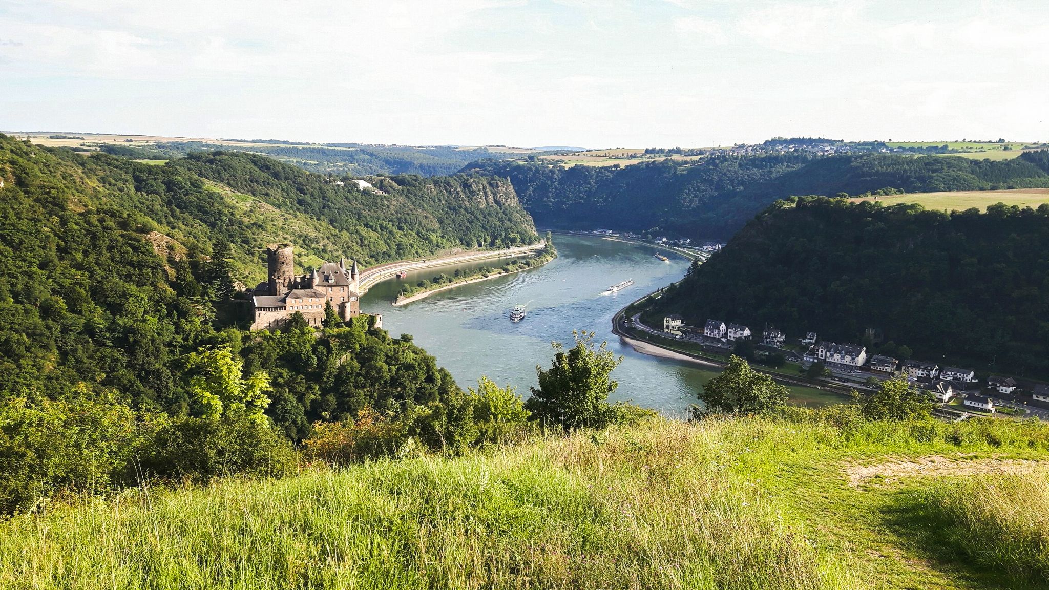
Rheinsteig Trail – The 21 stages along the Rhine
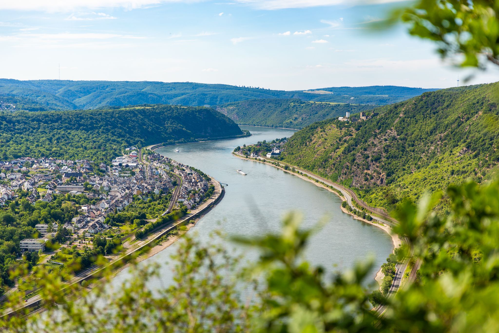
Up and down along the Rhine – adventure on the Rheinsteig
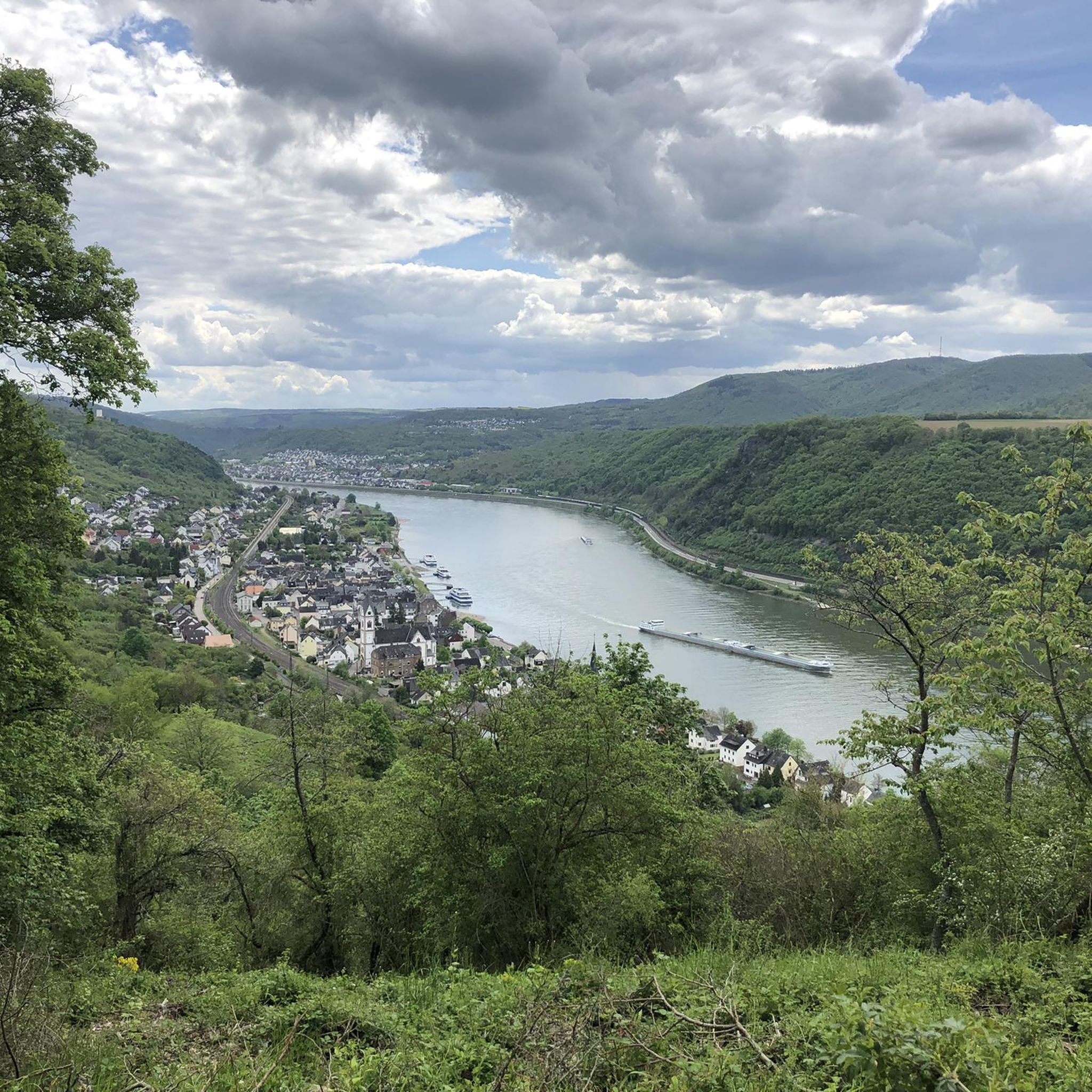
Road Cycling Routes around Kamp-Bornhofen
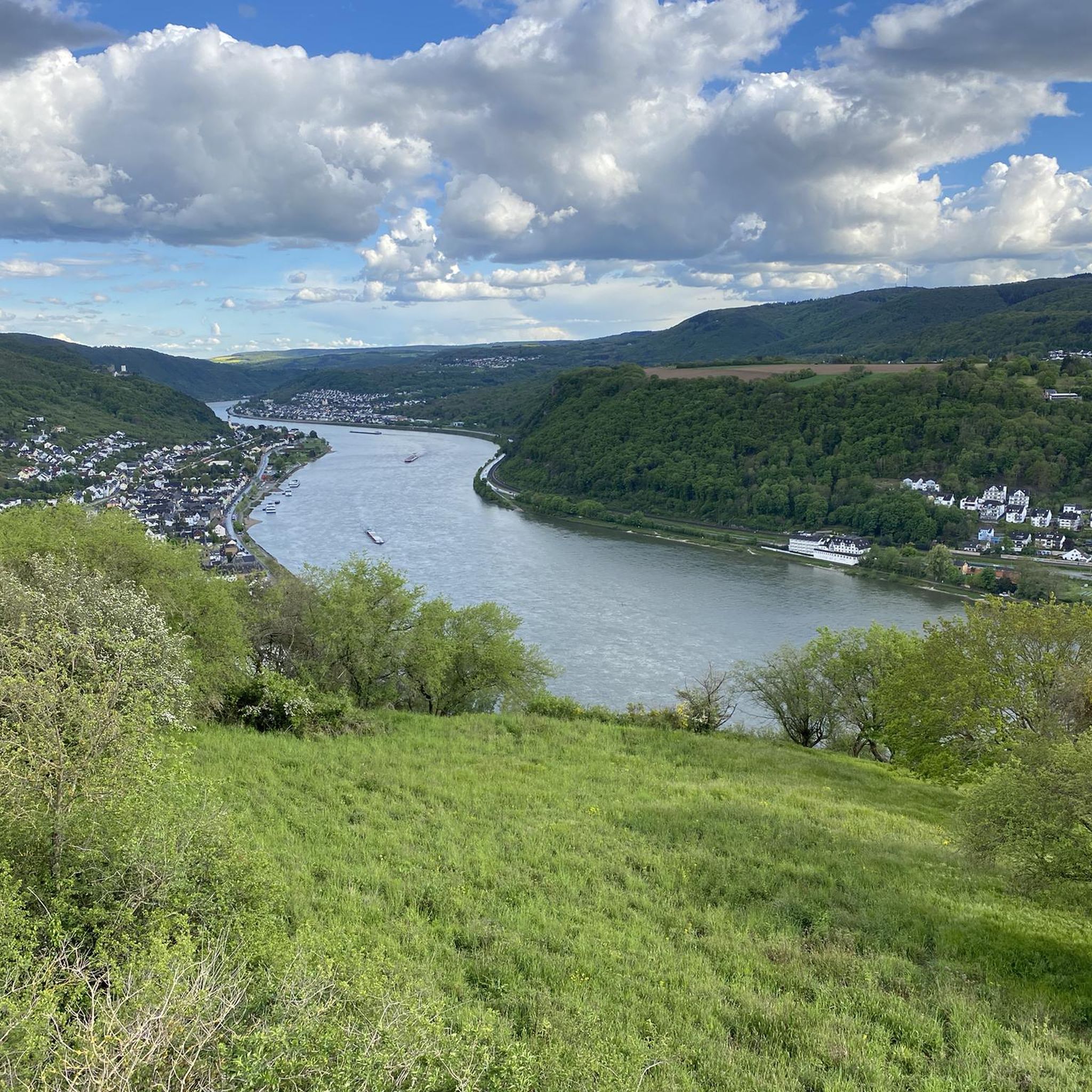
MTB Trails around Kamp-Bornhofen
Cycling around Kamp-Bornhofen

Gravel biking around Kamp-Bornhofen
Running Trails around Kamp-Bornhofen

Mountain Hikes around Kamp-Bornhofen


Tips from the Community

Hut with a fantastic view
0
0
Super beautiful and a great photo motif
1
0

It is likely that the Osterspai witch trials took place here on this rocky outcrop in earlier times.
0
0

Perfect for a snack or a short break.
0
0
A very well-marked hiking trail. Top-notch.
0
0

Beautiful view and a great sensory bench to relax on.
1
0

A very photogenic seating area. :)
1
0

Yes I am looking for a German woman I am happy
0
0
Frequently Asked Questions
How many hiking trails are available around Kamp-Bornhofen?
Kamp-Bornhofen offers a diverse network of over 30 hiking trails. These routes vary in difficulty, providing options for casual walkers and experienced hikers alike, with 14 easy, 8 moderate, and 13 difficult trails.
Are there easy hiking trails suitable for beginners or families in Kamp-Bornhofen?
Yes, Kamp-Bornhofen has 14 easy hiking trails perfect for beginners or families. An example is the Nassau Shelter – Bruno-Löhr Hut loop from Kamp-Bornhofen, which is a shorter, less strenuous option. These trails often feature gentler inclines and well-maintained paths.
What kind of scenery can I expect on hikes in Kamp-Bornhofen?
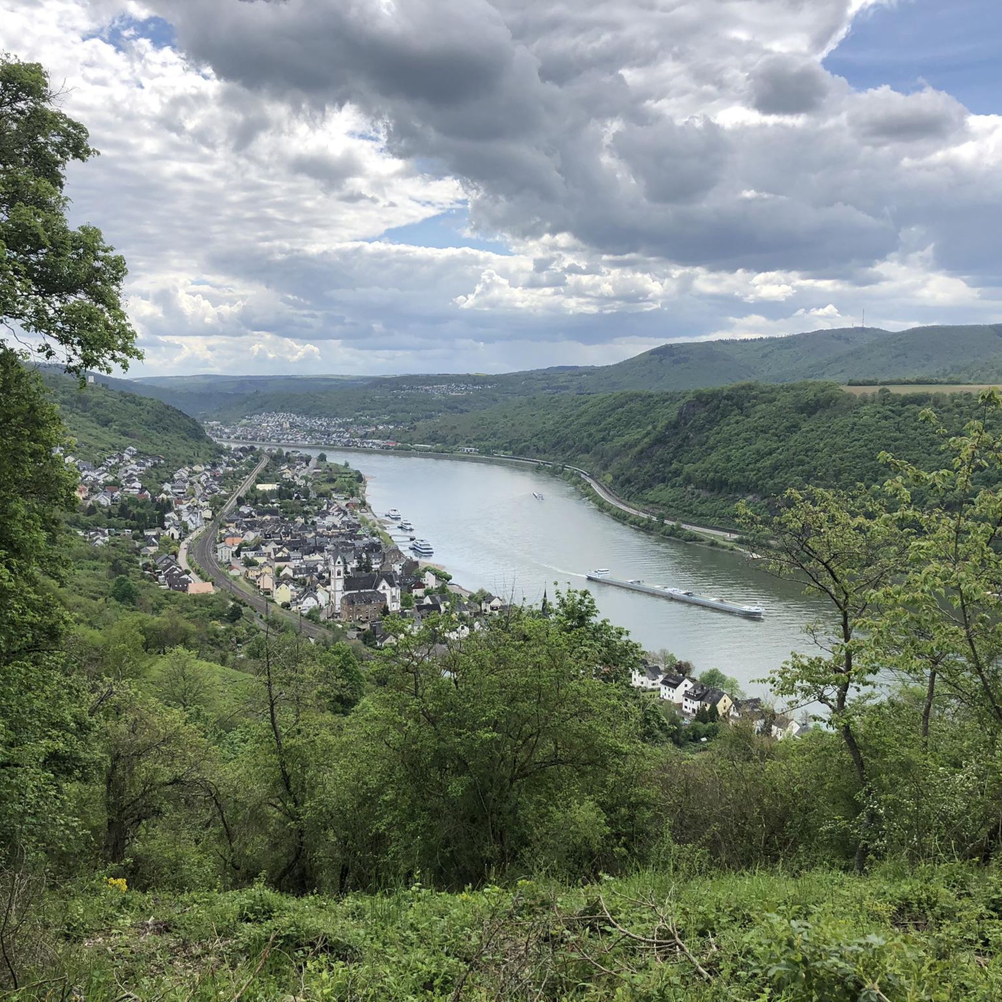
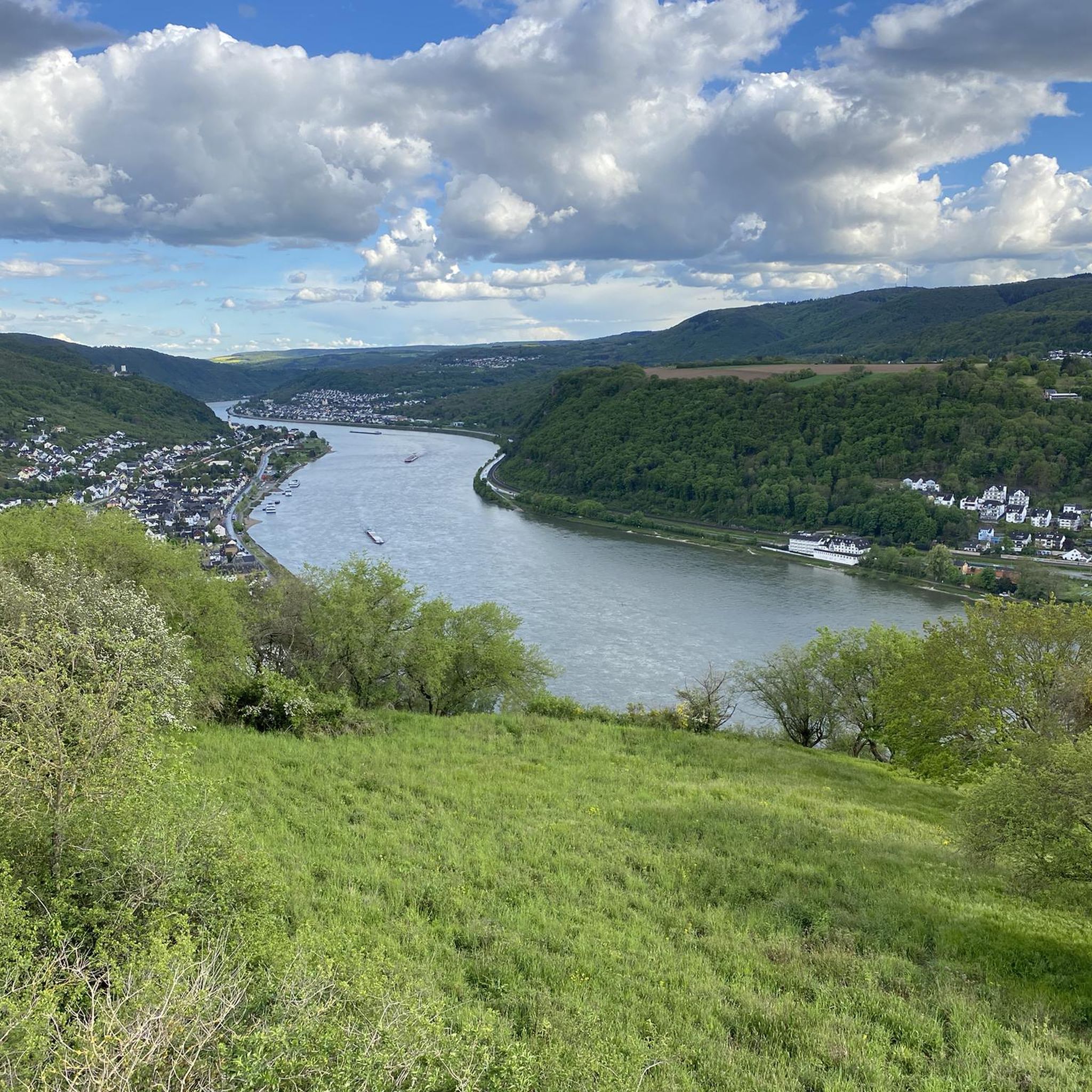
Hiking in Kamp-Bornhofen offers a blend of scenic river views, dense woodlands, and historic castles. Many routes provide elevated perspectives of the Rhine Valley, while others lead through charming cherry orchards and along forest paths. The landscape is characterized by its steep slopes and natural beauty.
Are there any circular hiking routes in Kamp-Bornhofen?
Yes, many of the trails around Kamp-Bornhofen are circular, allowing you to start and end at the same point. Popular circular routes include the View of Kamp-Bornhofen – Sterrenberg Castle loop from Kamp-Bornhofen and the View of Kamp-Bornhofen – Filsen Cherry Trail loop from Kamp-Bornhofen.
What are some notable landmarks or attractions to see while hiking?
The region is rich in cultural landmarks. You can explore historic sites like Sterrenberg Castle, which is featured on routes such as the View of Kamp-Bornhofen – Sterrenberg Castle loop from Kamp-Bornhofen. Additionally, you might encounter natural features like the Pond and bridge in Marienberger Park or the Upper and Lower Laykaul Slate Caves.
What is the best season for hiking in Kamp-Bornhofen?
The spring and autumn months are particularly popular for hiking in Kamp-Bornhofen. Spring brings blooming cherry orchards and fresh greenery, while autumn offers vibrant fall foliage. Summer is also pleasant, especially on shaded forest trails, and winter can provide unique, quiet experiences, though some paths might be more challenging due to conditions.
Are there any trails with good viewpoints in the area?
Absolutely. Many trails in Kamp-Bornhofen are known for their panoramic views of the Rhine River and the surrounding hills. The View of Kamp-Bornhofen – Hindenburghöhe Viewpoint loop from Kamp-Bornhofen is a good example, offering elevated perspectives of the landscape.
Can I bring my dog on the hiking trails in Kamp-Bornhofen?
Most hiking trails in Kamp-Bornhofen are dog-friendly, allowing you to enjoy the natural beauty with your canine companion. It's always recommended to keep dogs on a leash, especially in nature reserves or near wildlife, and to carry water for them.
How can I get to the hiking trails in Kamp-Bornhofen using public transport?
Kamp-Bornhofen is accessible by public transport, particularly via train services along the Rhine Valley. The local train station provides connections, and many trailheads are within walking distance or a short bus ride from the village center. It's advisable to check local bus and train schedules for specific routes and starting points.
What do other hikers say about the trails in Kamp-Bornhofen?
The hiking routes in Kamp-Bornhofen are highly rated by the komoot community, with an average score of 4.6 stars from over 4,300 reviews. Hikers often praise the diverse scenery, the well-maintained paths, and the stunning views of the Rhine and historic castles.
Are there options for longer, more challenging hikes?
Yes, for those seeking a greater challenge, Kamp-Bornhofen offers several difficult routes with significant elevation gain. The Sterrenberg Castle – Entrance to Langhalsweg Trail loop from Kamp-Bornhofen is a demanding 29.5 km trail that features extensive forest sections and connects multiple viewpoints, ideal for experienced hikers.
Are there any facilities like cafes or restaurants along the hiking routes?
While many trails lead through natural areas, Kamp-Bornhofen and nearby villages offer various cafes and restaurants where you can refuel. Some routes might pass by establishments, especially closer to populated areas or popular viewpoints. It's always a good idea to pack snacks and water, especially for longer excursions.
Most popular routes around Kamp-Bornhofen
Most popular attractions around Kamp-Bornhofen

Get inspired with the komoot mobile app


Explore more
Browse the best Hikes in other regions.
