The best mountain hikes around Chiomonte
33
hikers
3
hikes
Mountaineering routes around Chiomonte are situated in the mountainous terrain of Piedmont, characterized by high alpine peaks, deep valleys, and rugged passes. The region features significant elevation changes, with routes often leading to prominent summits and through varied landscapes including rocky slopes and occasional forested sections. This area provides a challenging environment for mountaineers, with opportunities to explore high-altitude trails and technical sections.
Best mountaineering routes around Chiomonte
- The most popular mountaineering route is Rifugio Ca' d'Asti – Rocciamelone (3,538 m) loop from Rocciamelone, a 6.7 miles (10.8 km) trail that takes 7 hours 14 minutes to complete. This difficult route ascends to the summit of Rocciamelone, offering extensive alpine views.
- Another top favourite among local mountaineers is Monte Albergian Summit loop from Pragelato, a difficult 6.8 miles (11.0 km) path. This route involves a significant ascent to the Monte Albergian summit, traversing high mountain terrain.
- Local mountaineers also love the Lago della Manica – Colle Superiore di Malanotte loop from Cianfulcre, a 9.1 miles (14.7 km) trail leading through high mountain passes and past alpine lakes, often completed in about 6 hours 34 minutes.
- Mountaineering around Chiomonte is defined by high alpine summits, challenging passes, and technical sections including via ferratas. The network offers options for different ability levels, from moderate ascents to difficult high-altitude expeditions.
- The routes in Chiomonte are highly rated by the komoot community with an average score of 4.2 stars from over 5 reviews. More than 100 mountaineers have used komoot to explore Chiomonte's varied terrain.
Last updated: July 7, 2026
12
hikers
10.4km
03:26
490m
490m
Moderate mountaineering route. Good fitness required. Easily-accessible paths. Suitable for all skill levels.
8
hikers
3.17km
01:56
270m
270m
Hard mountaineering route. Great for any fitness level. Sure-footedness, sturdy shoes and alpine experience required.

Sign up for free
7
hikers
4.38km
03:14
620m
610m
Hard mountaineering route. Good fitness required. Sure-footedness, sturdy shoes and alpine experience required.
6
hikers
14.9km
06:52
1,080m
1,080m
Hard mountaineering route. Very good fitness required. Sure-footedness, sturdy shoes and alpine experience required.
Our route recommendations are based on thousands of hikes, rides, and runs completed by other people on komoot.
Start today with a free account
Your next adventure awaits.
Login or Signup
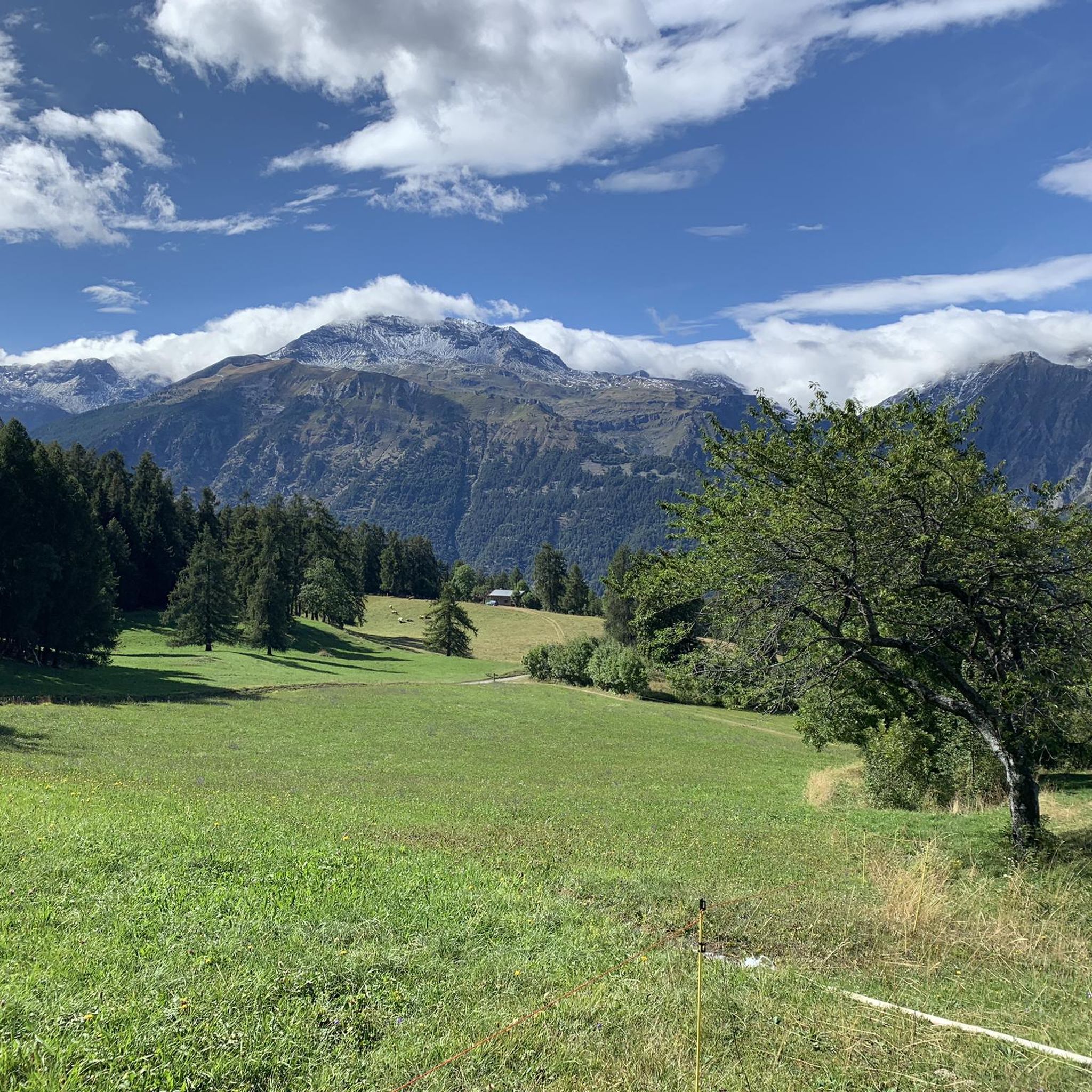
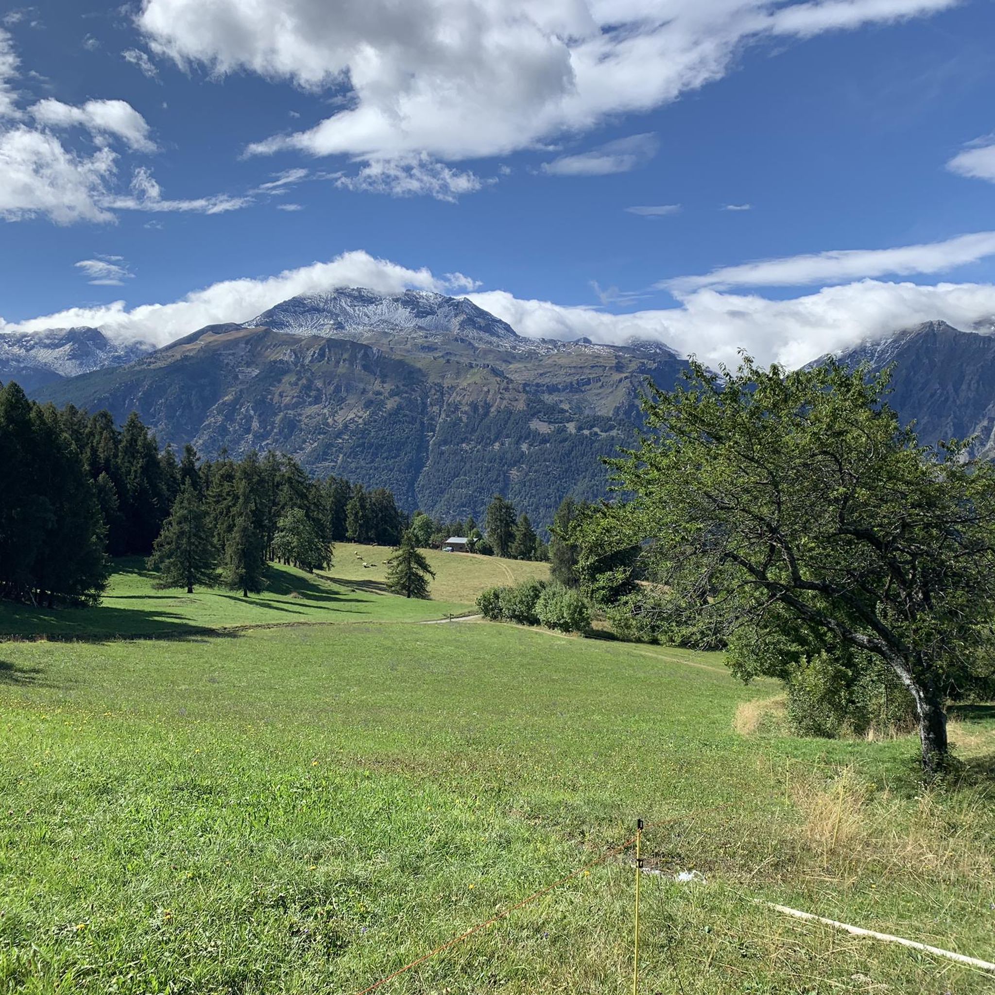
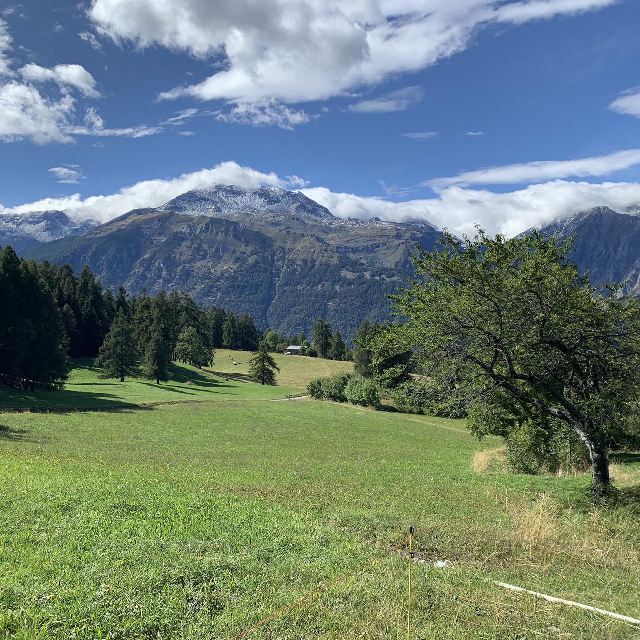

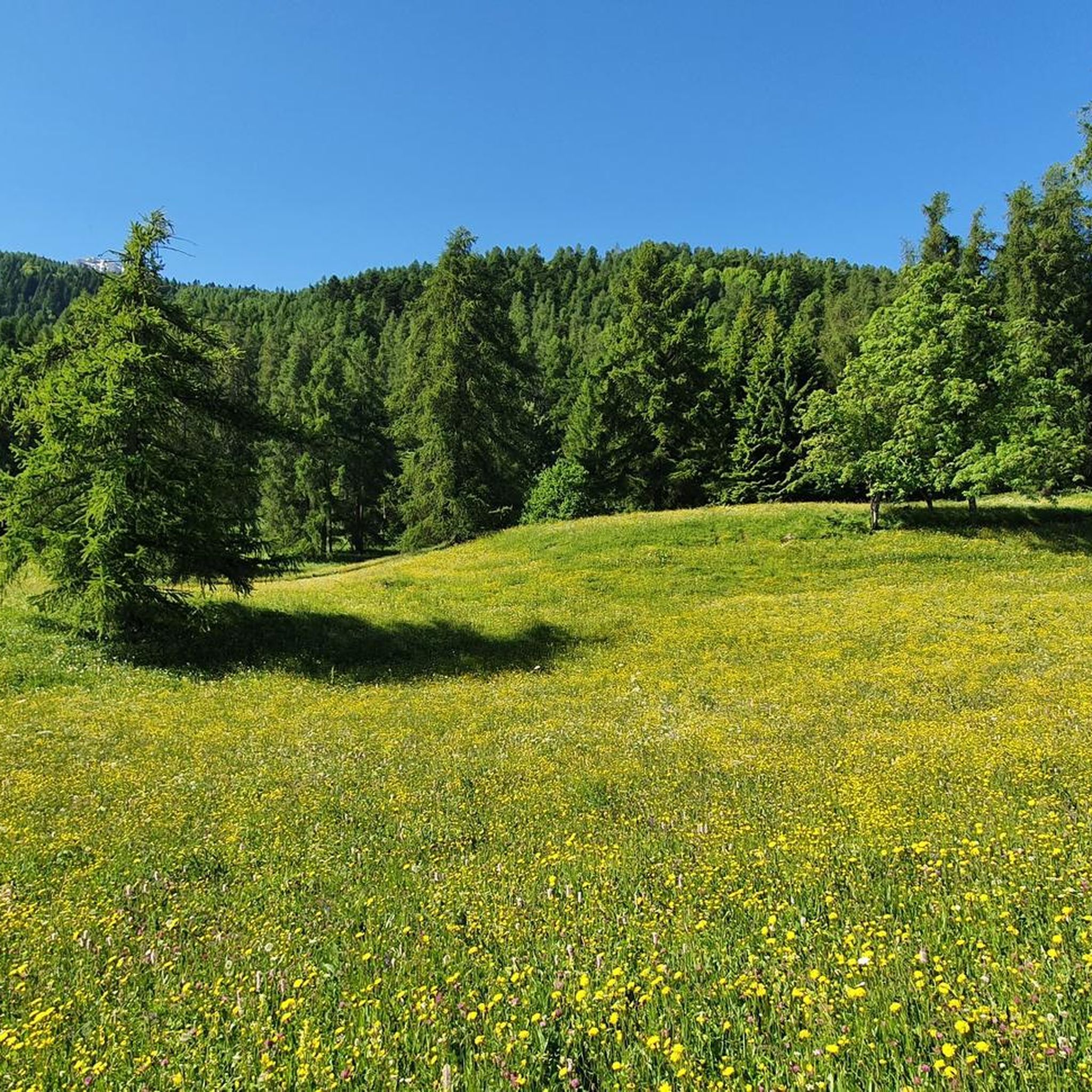
Tips from the Community

beautiful refuge in the Selleries valley
0
0

This refuge is managed and open only during the summer months. It's possible to stop for a break when climbing to the summit of Rocciamelone. It's located approximately halfway between La Riposa and Rocciamelone.
0
0

The Selleries refuge is located in the municipality of Roure (TO), in the Chisone valley, in the Cottian Alps, at 2,035 m above sea level. It can be easily reached by mountain bike from the paved road, but also on foot. The craft beers are excellent.
0
0

Massimo is one of the best and kindest refugee managers I have ever met.
1
0

in case of snow be careful not to lose the path
0
0
landing place for beginners, or a useful support point to break the climb in 2
0
0

i want to climb the Rocciamelone in April from Susa? Is that possible (is there still snow then) and is it easy to lift with other fellow hikers?
0
0
Once you reach the upper hill of Malanotte, go up following the cairns carefully, trying not to lose sight of them. It is easy to leave the unmarked path and end up on stony ground, making the route more difficult. The climb is very steep and on a gravel path which makes it a little slippery, and for these reasons it is classified as EE. However feasible, I recommend two sticks which help a lot.
1
0
Frequently Asked Questions
How many mountaineering routes are available around Chiomonte?
There are 5 mountaineering routes detailed in this guide for the Chiomonte area. These routes offer a range of challenges, from moderate ascents to difficult high-altitude expeditions.
Are there any beginner-friendly mountaineering routes in Chiomonte?
While many routes in Chiomonte are challenging, there is one moderate route suitable for those with some experience: the Jouglard bivouac – Selleries Hut loop from Grange. This route covers approximately 6.5 miles (10.5 km) with an elevation gain of around 490 meters.
What are the typical durations for mountaineering routes in Chiomonte?
Mountaineering routes in Chiomonte vary significantly in length and duration due to the challenging terrain and elevation changes. For example, the moderate Jouglard bivouac – Selleries Hut loop takes about 3 hours 28 minutes, while more demanding routes like the Rifugio Ca' d'Asti – Rocciamelone loop can take over 7 hours.
Are there any circular mountaineering routes in the Chiomonte area?
Yes, several routes around Chiomonte are designed as loops, allowing you to return to your starting point without retracing your steps. Examples include the Lago della Manica – Colle Superiore di Malanotte loop from Cianfulcre, which is a challenging 9.1-mile (14.7 km) route, and the Monte Albergian Summit loop from Pragelato.
What kind of terrain can I expect on mountaineering routes around Chiomonte?
The terrain around Chiomonte is characterized by high alpine peaks, deep valleys, and rugged passes. You'll encounter significant elevation changes, rocky slopes, and occasional forested sections. Some routes also feature technical sections, including via ferratas, such as the Via Ferrata des Cascades loop from Novalesa.
What are some notable landmarks or attractions to see while mountaineering in Chiomonte?
The region offers several interesting points of interest. You can encounter historical sites like Fort Gran Serin, or natural features such as Lake Laux. Many routes also lead to prominent summits like Monte Albergian Summit or traverse significant mountain passes like Blegier Pass.
What do other mountaineers say about the routes in Chiomonte?
The mountaineering routes in Chiomonte are highly regarded by the komoot community, holding an average rating of 4.2 stars from over 5 reviews. Users often praise the challenging nature of the trails and the extensive alpine views from the summits.
Is Chiomonte suitable for advanced mountaineers looking for a challenge?
Absolutely. Chiomonte is known for its challenging environment, offering routes with significant elevation gains and technical sections. Four out of the five routes in this guide are rated as difficult, providing ample opportunities for experienced mountaineers to test their skills on high-altitude expeditions.
When is the best season for mountaineering in Chiomonte?
The best season for mountaineering in Chiomonte typically runs from late spring through early autumn (June to September) when the weather is generally more stable and snow has melted from higher elevations. However, conditions can change rapidly in the mountains, so always check local forecasts.
Are there any multi-day mountaineering treks available around Chiomonte?
While this guide focuses on day routes, the challenging nature and length of some trails, such as the 9.1-mile Lago della Manica – Colle Superiore di Malanotte loop, can be incorporated into longer multi-day adventures by utilizing mountain huts or bivouacs in the region. Planning for multi-day treks requires careful consideration of logistics and supplies.
Can I find routes that are less crowded in Chiomonte?
While some popular summits attract more visitors, the vastness of the Piedmontese Alps around Chiomonte offers many opportunities for solitude. Exploring routes that are not the absolute highest peaks or visiting during off-peak times can help you find a more tranquil experience.
Most popular routes around Chiomonte
Most popular attractions around Chiomonte

Get inspired with the komoot mobile app


Explore more
Browse the best Mountain Hikes & Routes in other regions.
