The best mountain hikes around Gravere
36
hikers
4
hikes
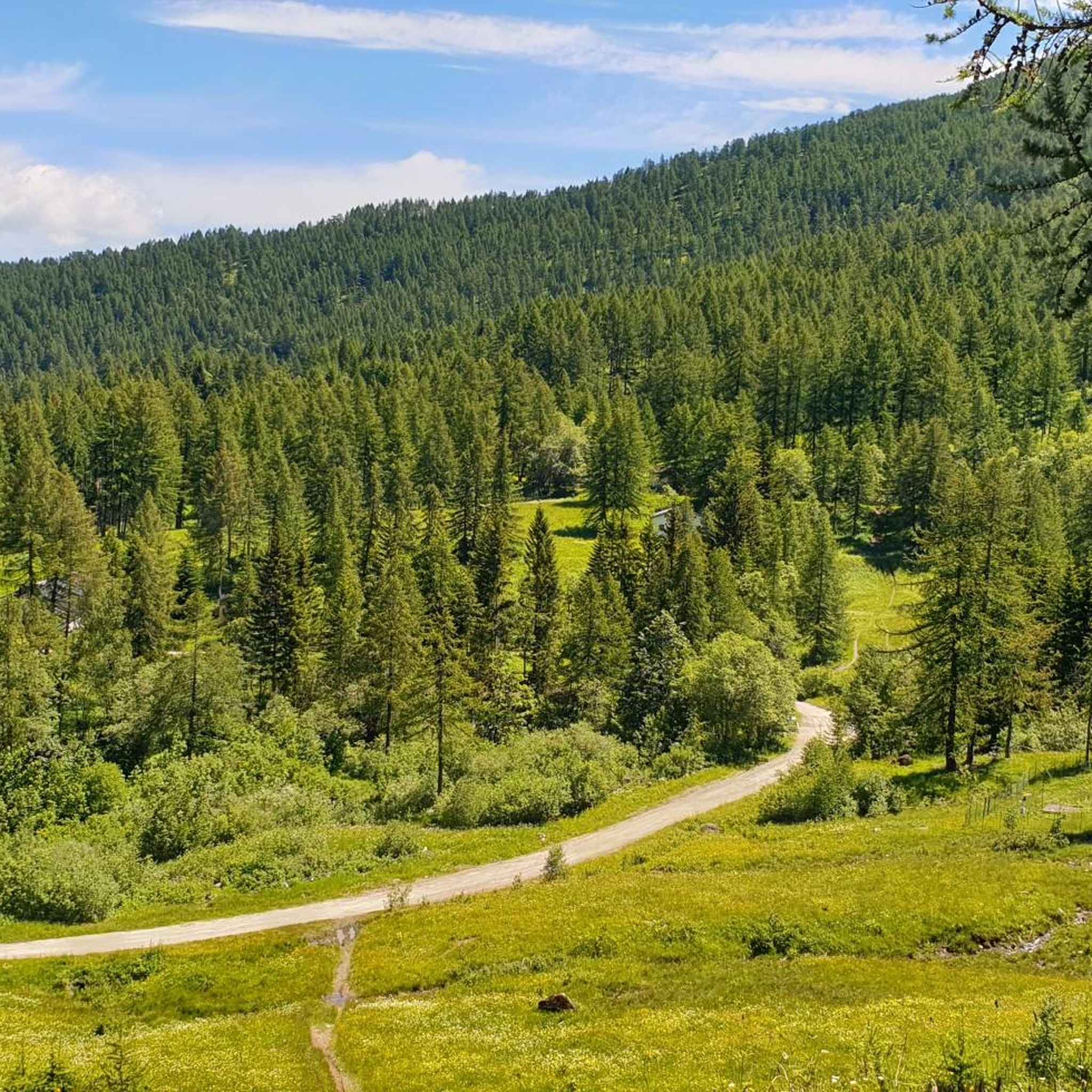
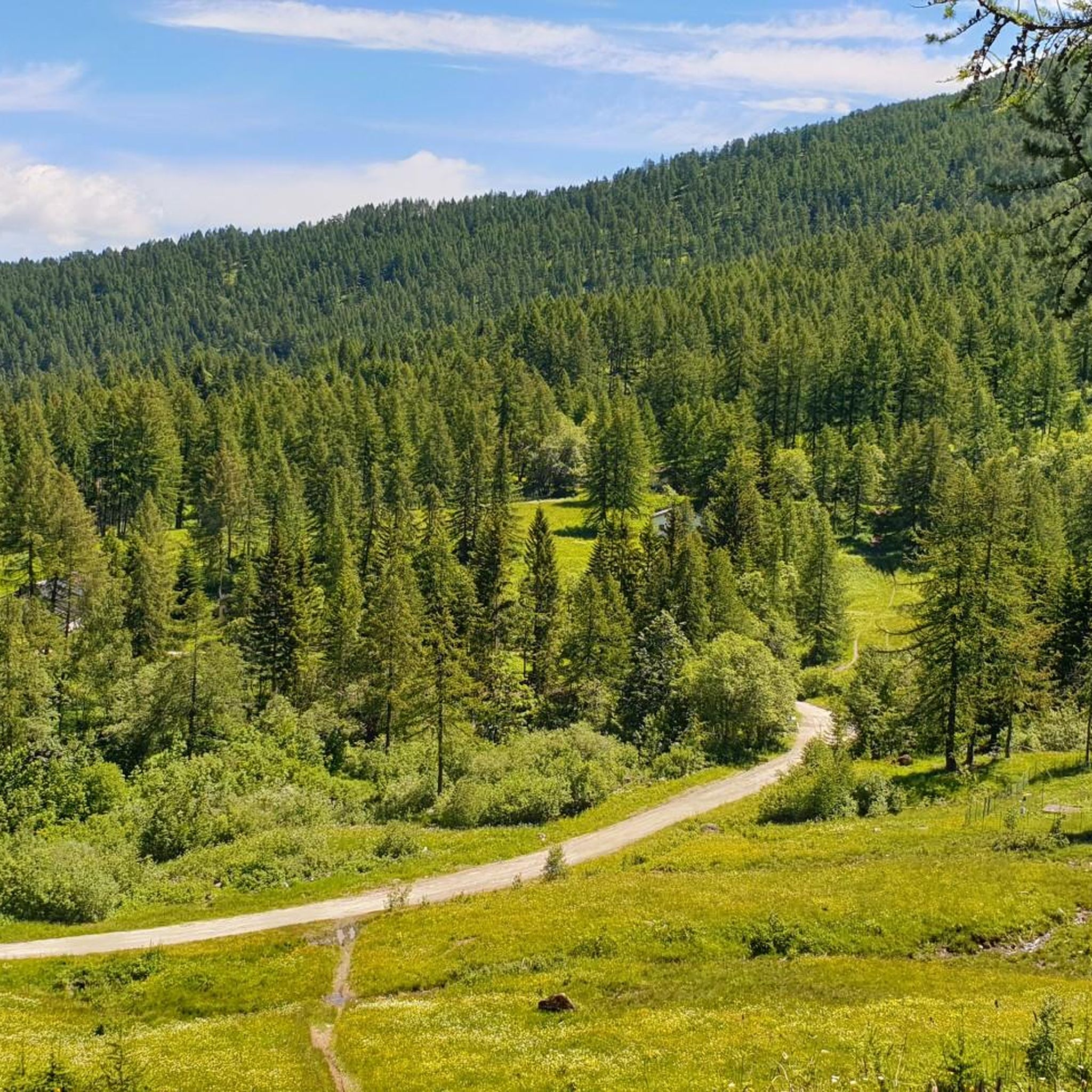
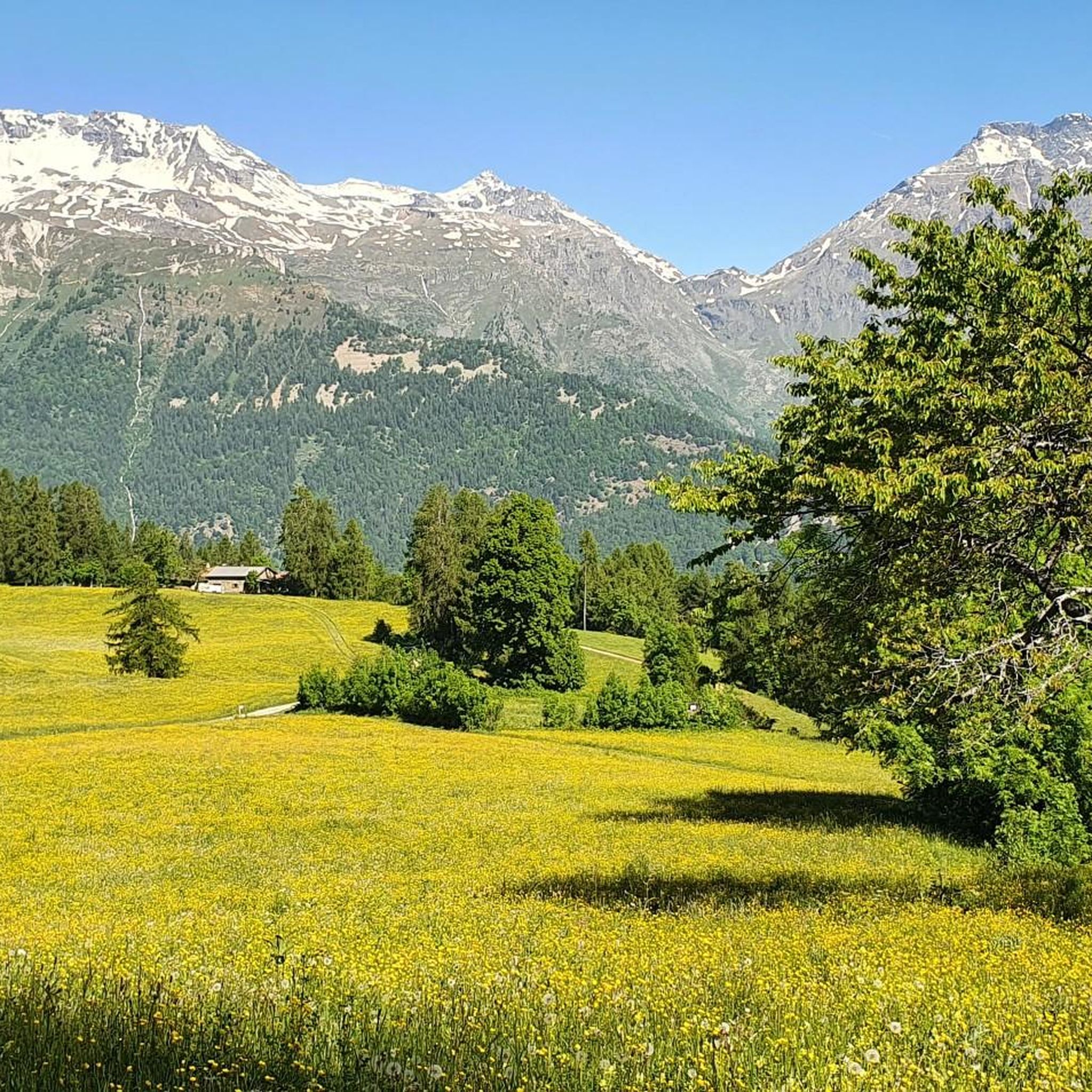
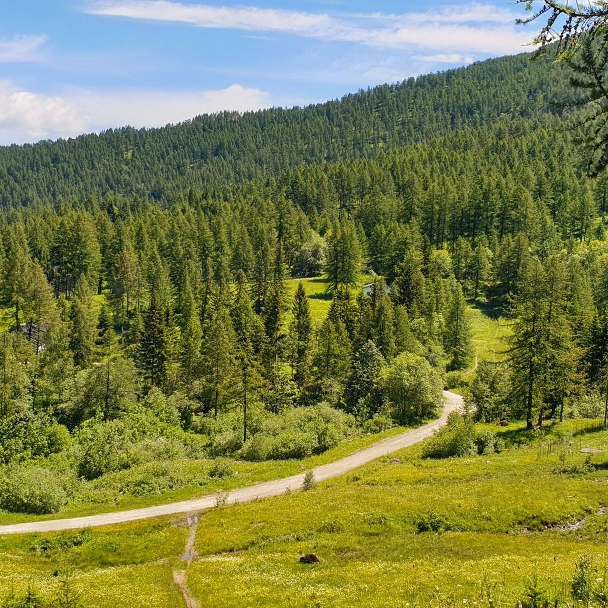
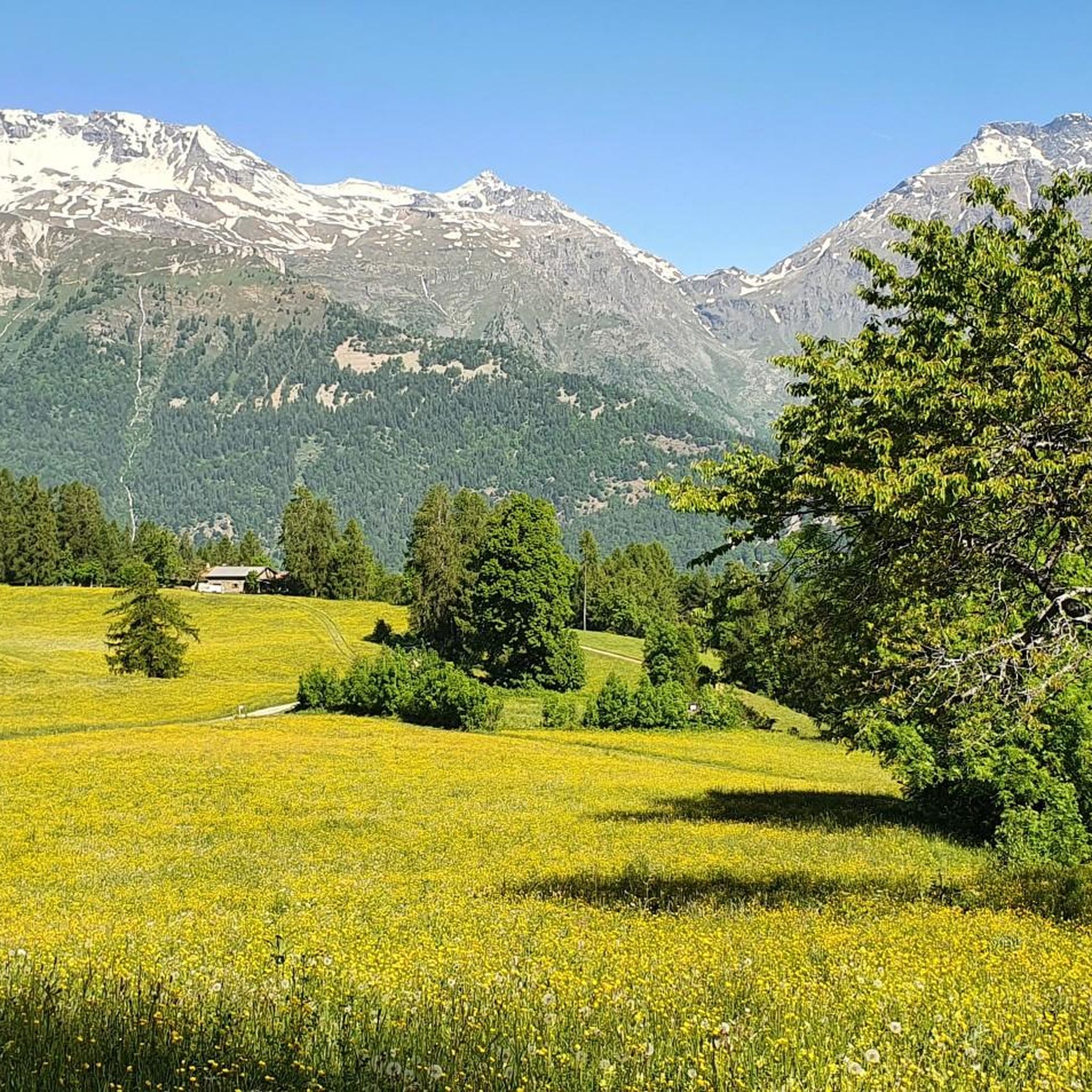
Mountaineering routes around Gravere are situated within Italy's Susa Valley in Piedmont, offering access to diverse alpine landscapes and challenging peaks. The region is characterized by imposing mountains, intense green meadows, and extensive trail networks, including those within the Parco Naturale Orsiera-Rocciavrè and Parco Naturale del Gran Bosco di Salbertrand. Notable peaks like Rocciamelone (3,538 meters) provide high-altitude objectives, while the valley floor offers varied terrain for exploration.
Best mountaineering routes around Gravere
- The most popular mountaineering route is Rifugio…
Last updated: July 7, 2026
12
hikers
10.4km
03:26
490m
490m
Moderate mountaineering route. Good fitness required. Easily-accessible paths. Suitable for all skill levels.
8
hikers
3.17km
01:56
270m
270m
Hard mountaineering route. Great for any fitness level. Sure-footedness, sturdy shoes and alpine experience required.

Sign up for free
7
hikers
4.38km
03:14
620m
610m
Hard mountaineering route. Good fitness required. Sure-footedness, sturdy shoes and alpine experience required.
6
hikers
14.9km
06:52
1,080m
1,080m
Hard mountaineering route. Very good fitness required. Sure-footedness, sturdy shoes and alpine experience required.
3
hikers
11.4km
05:07
800m
800m
Hard mountaineering route. Very good fitness required. Sure-footedness, sturdy shoes and alpine experience required.
Our route recommendations are based on thousands of hikes, rides, and runs completed by other people on komoot.
Start today with a free account
Your next adventure awaits.
Login or Signup

Tips from the Community

beautiful refuge in the Selleries valley
0
0

This refuge is managed and open only during the summer months. It's possible to stop for a break when climbing to the summit of Rocciamelone. It's located approximately halfway between La Riposa and Rocciamelone.
0
0

The Selleries refuge is located in the municipality of Roure (TO), in the Chisone valley, in the Cottian Alps, at 2,035 m above sea level. It can be easily reached by mountain bike from the paved road, but also on foot. The craft beers are excellent.
0
0

Massimo is one of the best and kindest refugee managers I have ever met.
1
0

in case of snow be careful not to lose the path
0
0
landing place for beginners, or a useful support point to break the climb in 2
0
0

In the Orsiera Rocciavrè park. Reachable only by paths, not all of which are ideal for MTB. The effort is rewarded by this splendid place.
1
0

The Valgravio refuge, near the Gravio stream, was built in 1928, then destroyed during the Second World War, rebuilt and expanded after the war. Today it is an essential destination for those who walk in the Orsiera-Rocciavré park. The manager, Mario Sorbino, keeps the dining room and the rooms in the best possible condition.
1
0
Frequently Asked Questions
How many mountaineering routes can I find around Gravere?
Based on komoot data, there are over 6 mountaineering routes documented around Gravere, catering to various skill levels. These routes explore the diverse alpine landscapes of the Susa Valley, including areas within the Parco Naturale Orsiera-Rocciavrè and Parco Naturale del Gran Bosco di Salbertrand.
What kind of difficulty levels can I expect for mountaineering routes in the Gravere area?
The routes around Gravere offer a range of difficulties. You'll find challenging routes like the Rifugio Ca' d'Asti – Rocciamelone (3,538 m) loop, which is rated difficult, alongside moderate options such as the Jouglard bivouac – Selleries Hut loop. There are also via ferrata experiences, like the Via Ferrata des Cascades loop, for those seeking a blend of hiking and climbing.
Are there any circular mountaineering routes near Gravere?
Yes, many mountaineering routes in the Gravere area are designed as loops, allowing you to start and finish at the same point. Examples include the demanding Rifugio Ca' d'Asti – Rocciamelone (3,538 m) loop and the moderate Jouglard bivouac – Selleries Hut loop. These circular paths offer varied scenery without retracing your steps.
What are some notable natural attractions or landmarks I might see on a mountaineering route around Gravere?
The region is rich in natural beauty. You might encounter stunning waterfalls like the Gravio Waterfall or the Novalesa Waterfall. Higher up, you could cross mountain passes such as Strada dell'Assietta and Colle dell'Assietta (2472 m), offering expansive views. The routes often traverse protected areas like the Parco Naturale Orsiera-Rocciavrè, known for its diverse flora and fauna.
What is the best time of year for mountaineering in Gravere?
The best time for mountaineering in Gravere is generally during the warmer months, from late spring through early autumn (roughly June to September), when trails are clear of snow and weather conditions are more stable. However, some lower-altitude routes within areas like the Gran Bosco di Salbertrand Natural Park might be accessible earlier or later in the season.
Are there any family-friendly mountaineering options around Gravere?
While many mountaineering routes are challenging, the Susa Valley offers a range of trails. For families, it's advisable to look for shorter, less strenuous hikes, especially within the natural parks. The Parco Naturale del Gran Bosco di Salbertrand, for instance, has a network of marked hiking routes that can be adapted for different abilities. Always check the specific route's difficulty and elevation gain before setting out with children.
Can I bring my dog on mountaineering routes in the Gravere area?
Many trails in the Susa Valley and its natural parks are dog-friendly, but regulations can vary, especially within protected areas like Parco Naturale Orsiera-Rocciavrè and Parco Naturale del Gran Bosco di Salbertrand. It's always best to check specific park rules or route descriptions for any restrictions, and ensure your dog is well-behaved and kept on a leash, particularly in areas with wildlife or livestock.
What do other mountaineers enjoy most about the routes around Gravere?
The mountaineering routes around Gravere are highly rated by the komoot community, with an average score of 4.2 stars. Reviewers often praise the diverse alpine landscapes, the challenging ascents to peaks like Rocciamelone, and the opportunity to experience both high-altitude environments and dense mixed forests. The well-maintained trails and stunning panoramic views are frequently highlighted.
Are there any routes that offer views of lakes or other water bodies?
Yes, some mountaineering routes in the wider Susa Valley region, particularly within the Parco Naturale Orsiera-Rocciavrè, lead to or pass by alpine lakes. For example, the Lago della Manica – Colle Superiore di Malanotte loop from Parco Naturale Orsiera-Rocciavrè offers scenic views of the lake and surrounding alpine landscape.
Where can I find parking or public transport access for mountaineering routes near Gravere?
Access points for mountaineering routes often vary. For routes like the Jouglard bivouac – Selleries Hut loop, you might start from small hamlets like Grange, which typically have limited parking. For routes originating from larger towns or specific natural park entrances, more structured parking might be available. Public transport options, while present in the Susa Valley, may require careful planning to reach specific trailheads, especially for higher-altitude starting points.
Are there any less crowded mountaineering routes around Gravere?
While popular routes can see more traffic, the extensive network of trails in the Susa Valley and its natural parks means you can often find quieter paths. Exploring routes within the Parco Naturale del Gran Bosco di Salbertrand, which features 70 km of marked trails, or venturing into less-frequented sections of the Parco Naturale Orsiera-Rocciavrè, might offer a more secluded experience. Early morning starts or mid-week excursions can also help avoid crowds.
Most popular routes around Gravere
Most popular attractions around Gravere

Get inspired with the komoot mobile app


Explore more
Browse the best Mountain Hikes & Routes in other regions.
