The best mountain hikes around Salza Di Pinerolo
5.0
(1)
20
hikers
2
hikes
Mountaineering routes around Salza Di Pinerolo traverse a landscape characterized by significant elevation changes, alpine valleys, and rugged mountain peaks within the Cottian Alps. The region offers challenging ascents and descents, often leading through high-altitude terrain. These routes frequently feature exposed ridges, rocky paths, and panoramic views of the surrounding alpine environment. The area is known for its demanding trails suitable for experienced mountaineers.
Best mountaineering routes around Salza Di Pinerolo
- The most popular mountaineering route is Punta Cerisira loop…
Last updated: July 7, 2026
5.0
(1)
12
hikers
14.6km
07:21
1,180m
1,180m
Hard mountaineering route. Very good fitness required. Sure-footedness, sturdy shoes and alpine experience required.
2
hikers
6.55km
02:33
260m
250m
Moderate mountaineering route. Good fitness required. Mostly accessible paths. Sure-footedness required.

Sign up for free
2
hikers
5.47km
02:15
250m
250m
Moderate mountaineering route. Good fitness required. Mostly accessible paths. Sure-footedness required.
5
hikers
12.9km
05:01
720m
720m
Hard mountaineering route. Very good fitness required. Sure-footedness, sturdy shoes and alpine experience required.
Our route recommendations are based on thousands of hikes, rides, and runs completed by other people on komoot.
Start today with a free account
Your next adventure awaits.
Login or Signup
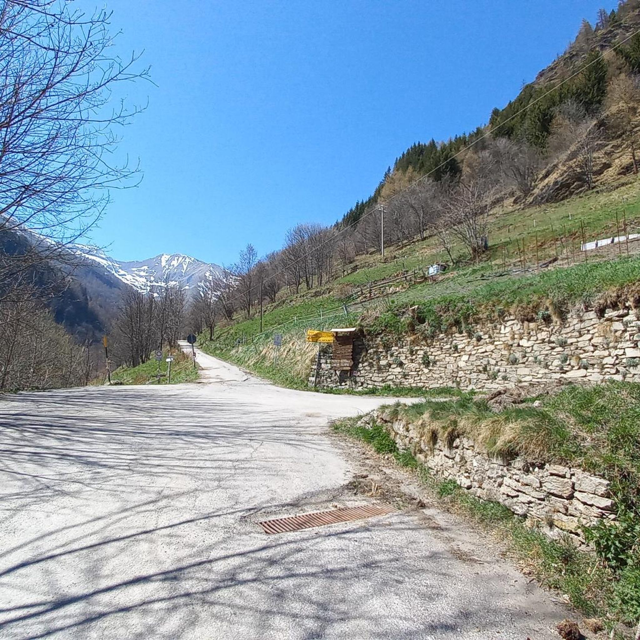
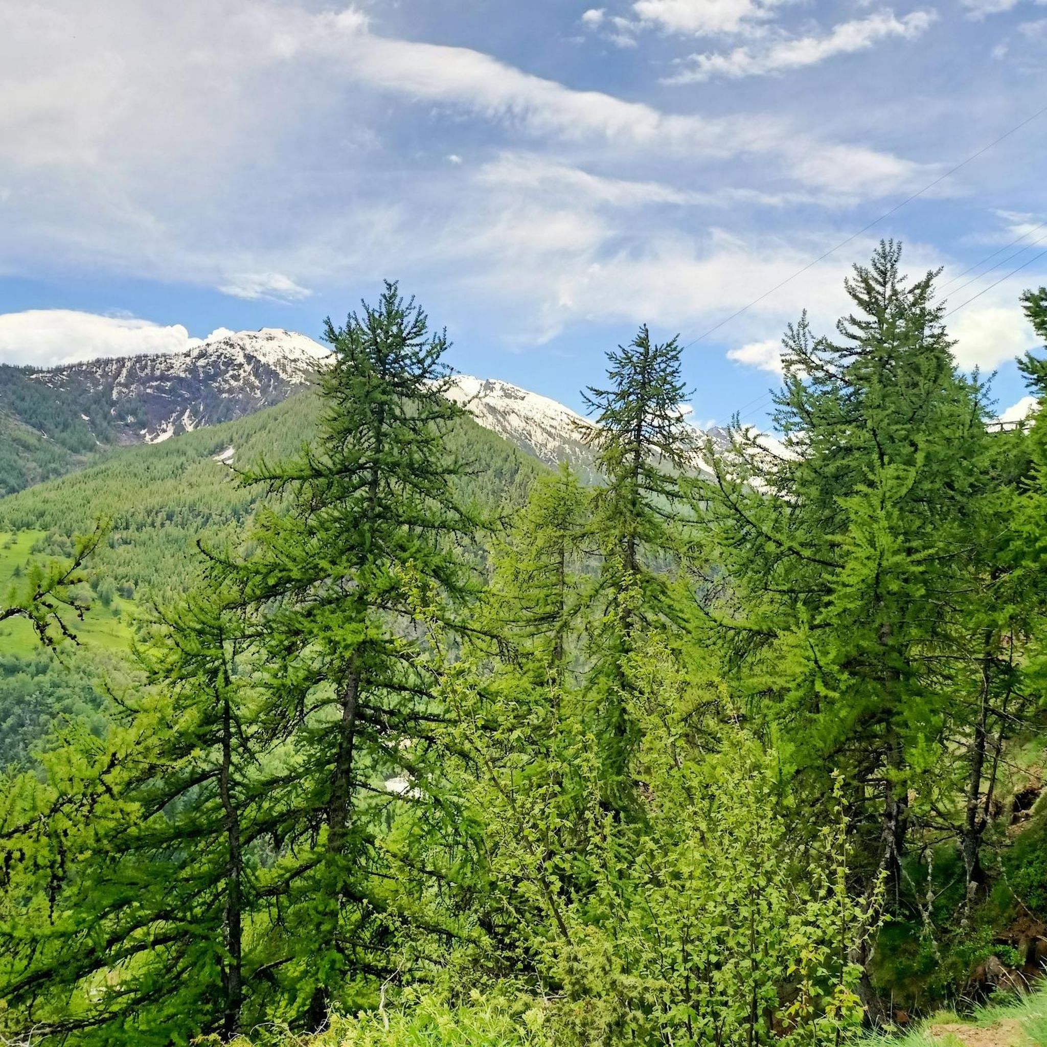
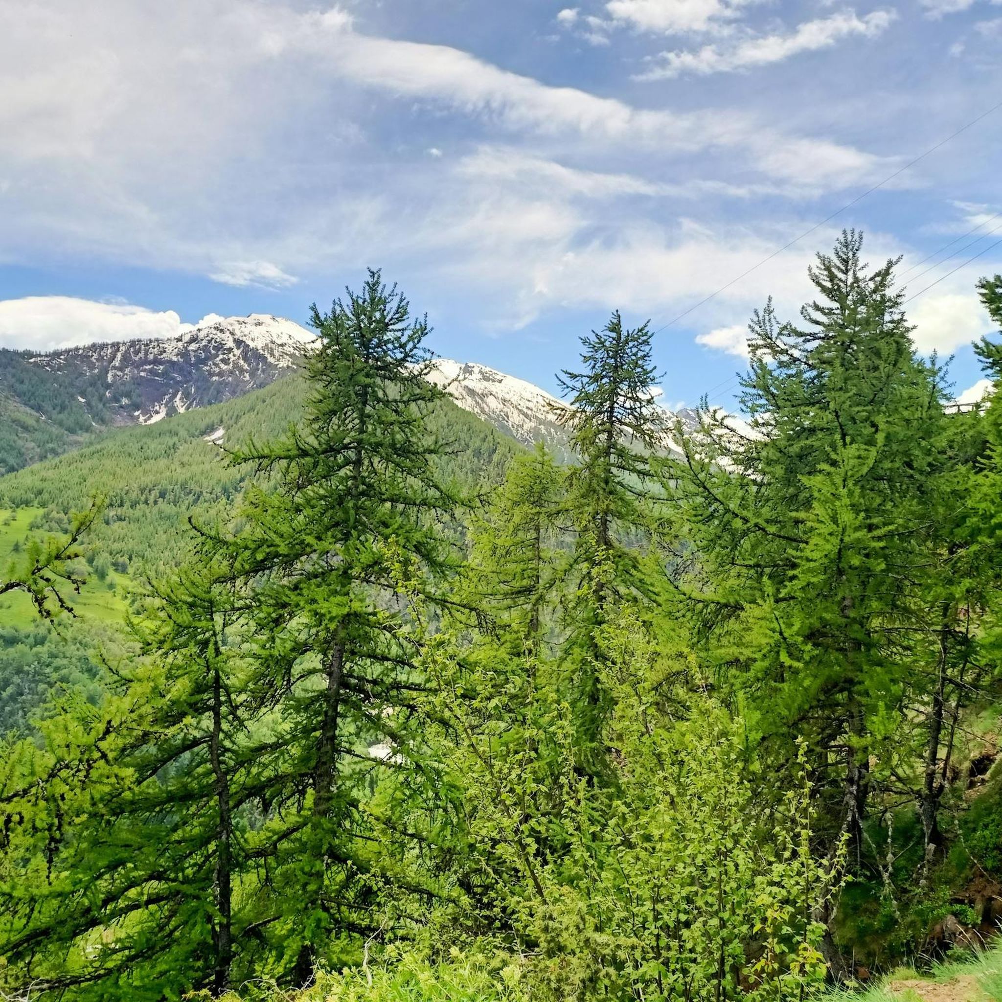
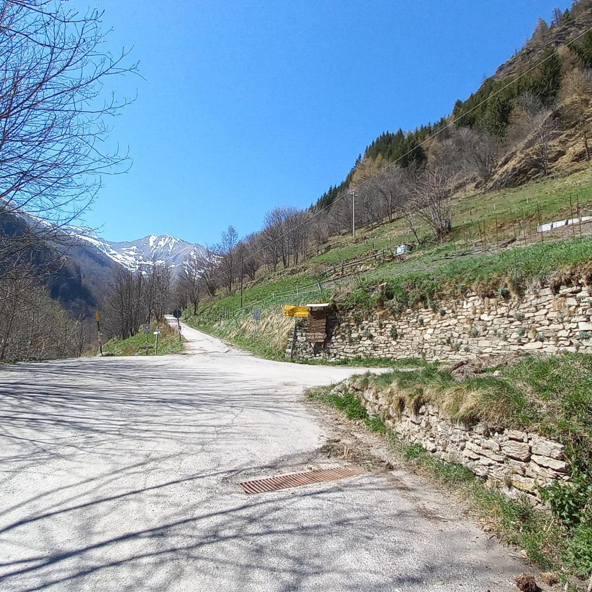

Tips from the Community

view of the 13 lakes basin
1
0

excellent trip with the possibility of loops
0
0

A summit offering a stunning 360-degree view! Highly recommended for a beautiful sunset!
0
0

A beautiful circular hike. Beware, however, of the misleading two-hour indication! Messner might be able to manage it. If you're a regular hiker, no less than three hours or more... WARNING: Once you reach Lake Cannoni or Ramella, if you suffer from vertigo, do not follow the signs for trail A on the right. There are exposed sections, and one section is equipped with a damaged rope. Turn left and you will rejoin the outward route at the level of the early 1900s forts.
1
0

Comfortable footwear for mostly soft terrain
0
0

Lago Verde Piccolo is one of the jewels of the Vallone dei Tredici Laghi, a suggestive and uncontaminated corner of the Cottian Alps. This small lake enchants with its deep green waters, enclosed by dark rocks and alpine meadows.
1
0

trip in a safe environment with high avalanche risk (3 marked). Climbed well into the woods and descended onto the slopes
0
0

source of the Chisonetto torrent
0
0
Frequently Asked Questions
What is the general difficulty level of mountaineering routes around Salza Di Pinerolo?
Mountaineering routes in Salza Di Pinerolo are primarily designed for experienced mountaineers. The region features challenging ascents and descents, often through high-altitude terrain with exposed ridges and rocky paths. There are 3 routes listed, with 1 rated as difficult and 2 as moderate.
Are there any moderate mountaineering routes suitable for those building experience?
Yes, while many routes are challenging, there are moderate options. For instance, the Bric Rond (2540 m) – Lago Verde Piccolo loop from Prali is a moderate 6.5 km route with an elevation gain of about 257 meters. Another moderate choice is the Bric Rond (2540 m) – Trail to Lago dell'Uomo loop from Prali, which covers 5.4 km with around 246 meters of ascent.
What kind of distances and elevations can I expect on these mountaineering routes?
The routes around Salza Di Pinerolo vary in length and elevation. You can expect distances ranging from approximately 5.4 km to 18.7 km. Elevation gains typically range from around 246 meters for moderate routes up to 1465 meters for more difficult ascents, such as the Monte Albergian Summit loop from Pragelato.
How long do mountaineering routes in Salza Di Pinerolo typically take to complete?
The duration of these routes varies significantly based on distance, elevation, and individual pace. For example, the moderate Bric Rond (2540 m) – Trail to Lago dell'Uomo loop from Prali can take around 2 hours 15 minutes, while the more demanding Punta Cerisira loop from Prali might require closer to 8 hours.
Are there any circular mountaineering routes in the area?
Yes, all the mountaineering routes listed for Salza Di Pinerolo are circular loops. This includes routes like the Laghetto del Chiosonetto – Chisonetto Springs loop from Sestriere, which offers a full circuit through high mountain passes.
What are some notable natural attractions or landmarks near the mountaineering routes?
The region is rich in natural beauty. You can find several alpine lakes, such as the 13 Lakes Plateau (Pian dei 13 Laghi), Lake of the Cannons, and Albergian Lakes. These often provide stunning backdrops or points of interest along the trails.
Are there any historical or man-made points of interest to see while mountaineering?
Yes, beyond the natural landscapes, you might encounter historical sites. The Fort of Fenestrelle is a significant historical landmark in the broader area. Additionally, you may find mountain huts like Mulino di Laval Mountain Hut and Troncea Hut, which can serve as points of interest or shelter.
What do other mountaineers say about the routes in Salza Di Pinerolo?
The mountaineering routes in Salza Di Pinerolo are highly regarded by the komoot community, holding an average rating of 4.0 stars from over 2 reviews. More than 30 mountaineers have used komoot to explore the varied and challenging terrain, often praising the expansive mountain vistas and the demanding nature of the trails.
What kind of terrain can I expect on mountaineering routes in Salza Di Pinerolo?
Expect rugged alpine terrain with significant elevation changes. Routes often feature rocky paths, exposed ridges, and high-altitude passes. The landscape is characterized by the Cottian Alps, offering demanding conditions suitable for experienced mountaineers.
Are there any routes that lead to prominent summits with expansive views?
Absolutely. The Monte Albergian Summit loop from Pragelato is a prime example. This difficult route includes a significant ascent to a prominent summit, rewarding mountaineers with expansive mountain vistas across the surrounding alpine environment.
Most popular routes around Salza Di Pinerolo
Most popular attractions around Salza Di Pinerolo

Get inspired with the komoot mobile app


Explore more
Browse the best Mountain Hikes & Routes in other regions.
