The best mountain hikes around Castelnuovo Di Garfagnana
4.8
(9)
81
hikers
6
hikes
Mountaineering routes around Castelnuovo Di Garfagnana traverse the rugged Apuan Alps, a range characterized by dramatic limestone peaks, deep valleys, and extensive forests. This region, part of the Garfagnana, offers diverse terrain for mountaineers, from challenging ascents to scenic ridge walks. The landscape features prominent summits and a network of trails that explore its unique geological formations.
Best mountaineering routes around Castelnuovo Di Garfagnana
- The most popular mountaineering route is Rifugio Rossi alla Pania loop from Grotta del Vento,…
Last updated: July 4, 2026
5.0
(4)
37
hikers
11.2km
05:15
800m
800m
Hard mountaineering route. Very good fitness required. Mostly accessible paths. Sure-footedness required.
5.0
(2)
13
hikers
Moderate mountaineering route. Good fitness required. Mostly accessible paths. Sure-footedness required.

Sign up for free
8
hikers
11.8km
04:32
660m
650m
Hard mountaineering route. Good fitness required. Sure-footedness, sturdy shoes and alpine experience required.
6
hikers
12.5km
05:50
890m
900m
Hard mountaineering route. Very good fitness required. Sure-footedness, sturdy shoes and alpine experience required.
4.0
(1)
8
hikers
10.8km
04:40
740m
740m
Hard mountaineering route. Good fitness required. Sure-footedness, sturdy shoes and alpine experience required.
Our route recommendations are based on thousands of hikes, rides, and runs completed by other people on komoot.
Start today with a free account
Your next adventure awaits.
Login or Signup
Popular around Castelnuovo Di Garfagnana
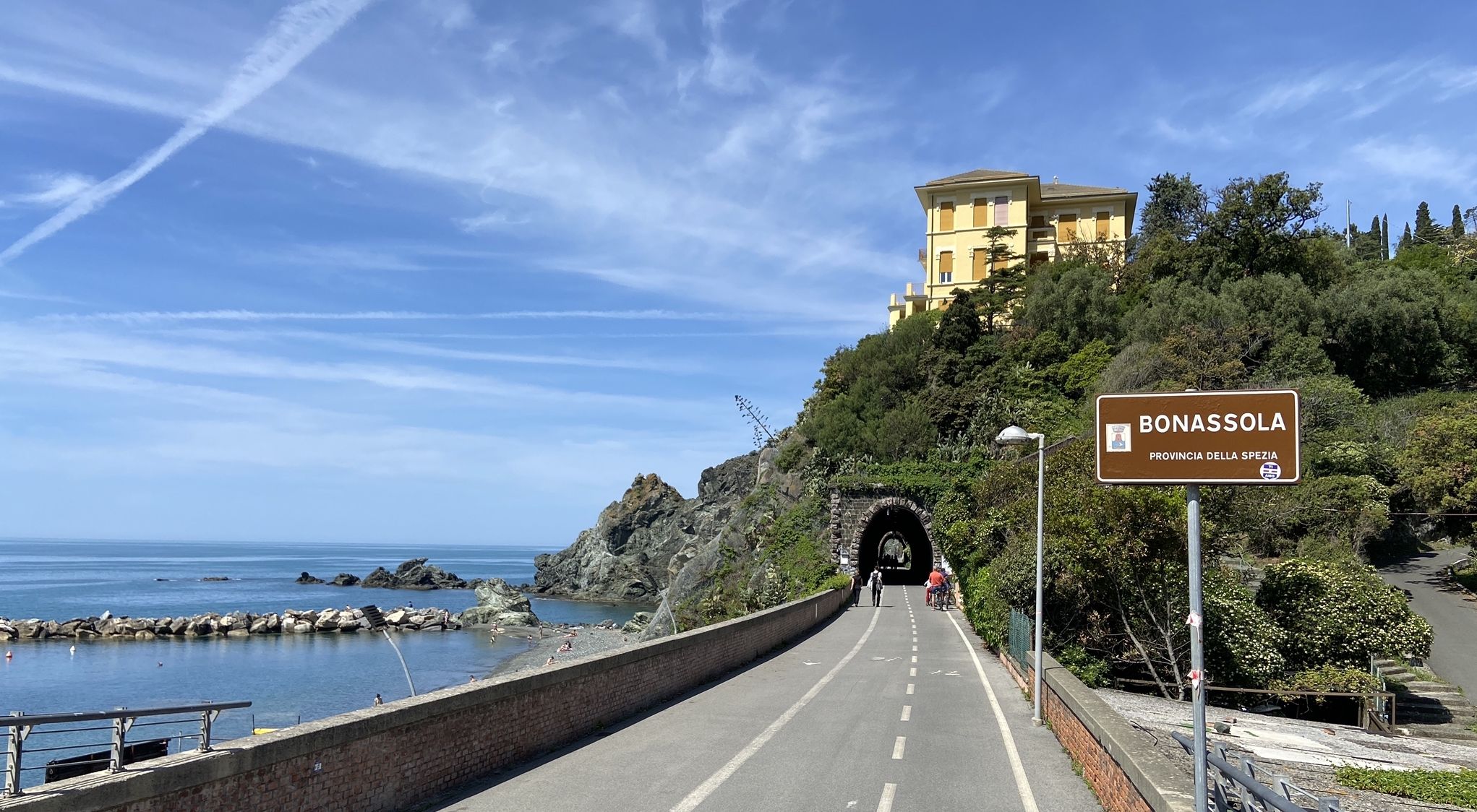
Pedalling to Portofino and the Cinque Terre — sea and mountains
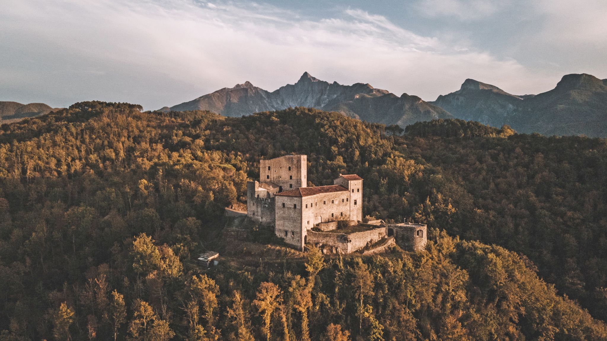
Through history between Lunigiana and Garfagnana – Via del Volto Santo by MTB
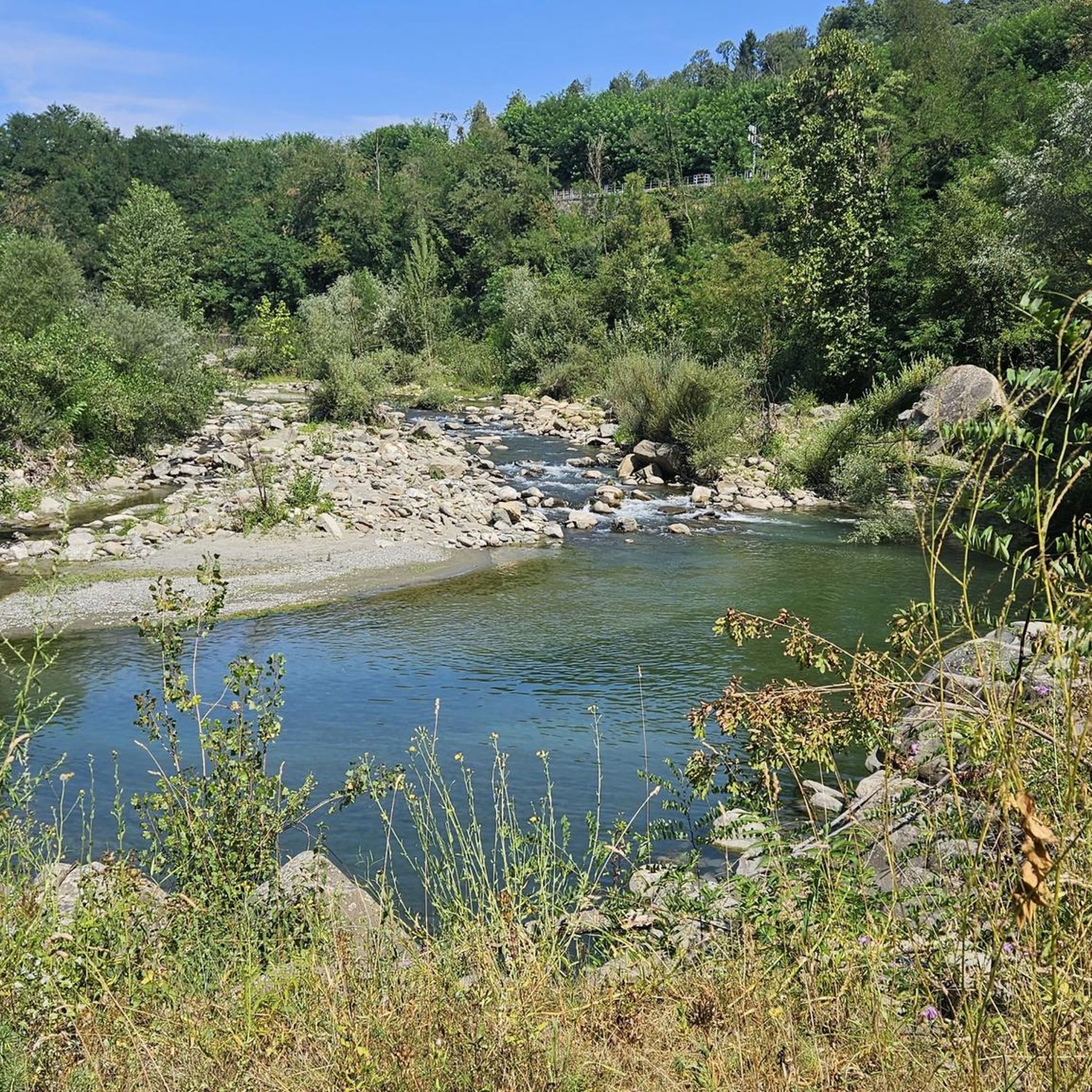
Road Cycling Routes around Castelnuovo Di Garfagnana
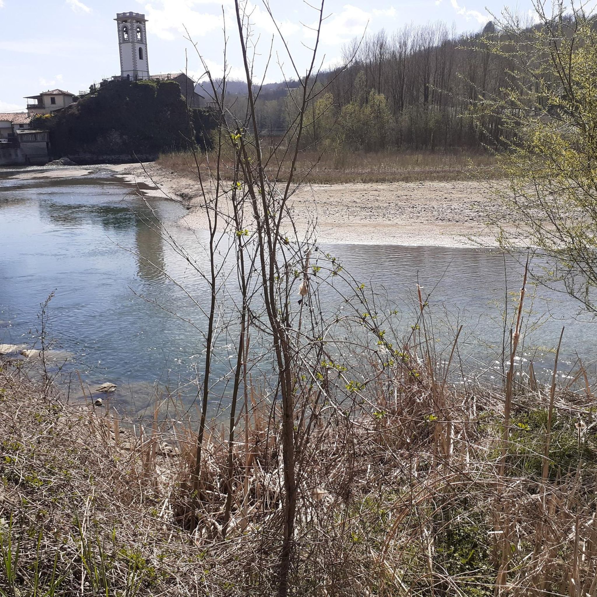
MTB Trails around Castelnuovo Di Garfagnana
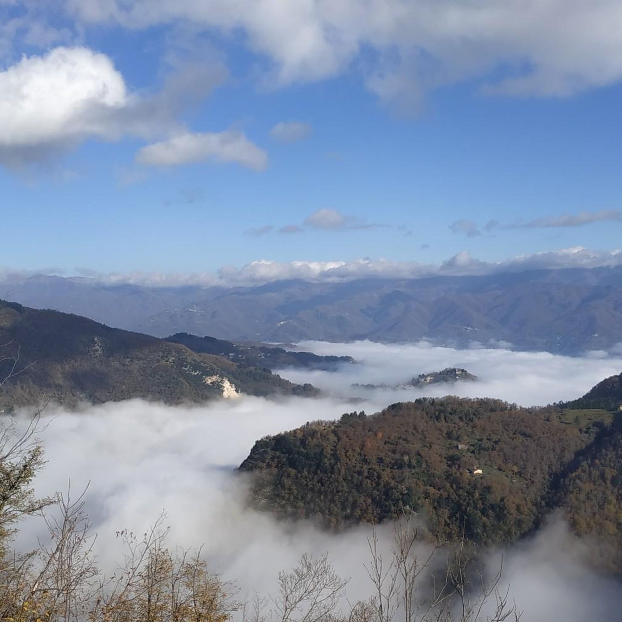
Cycling around Castelnuovo Di Garfagnana
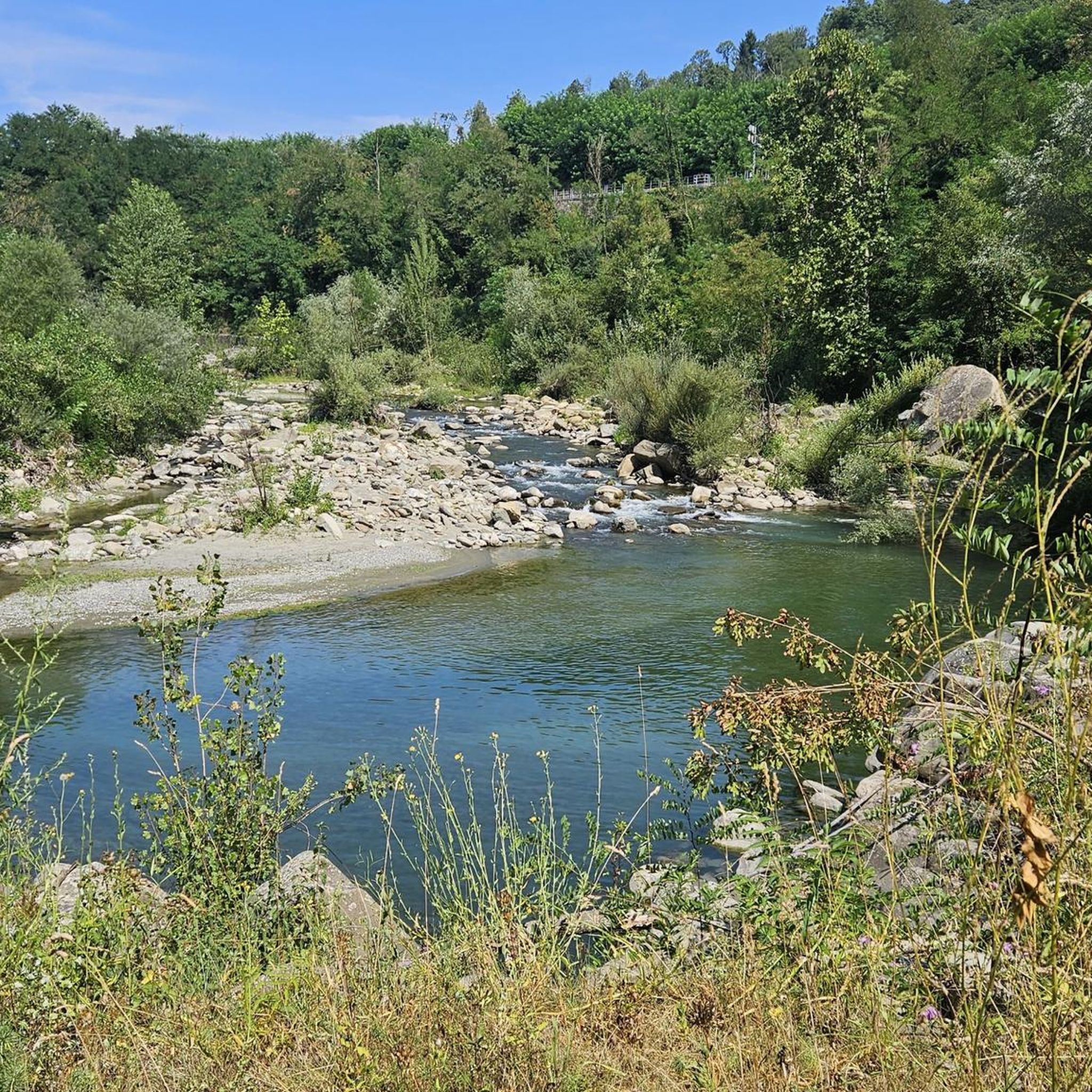
Hiking around Castelnuovo Di Garfagnana
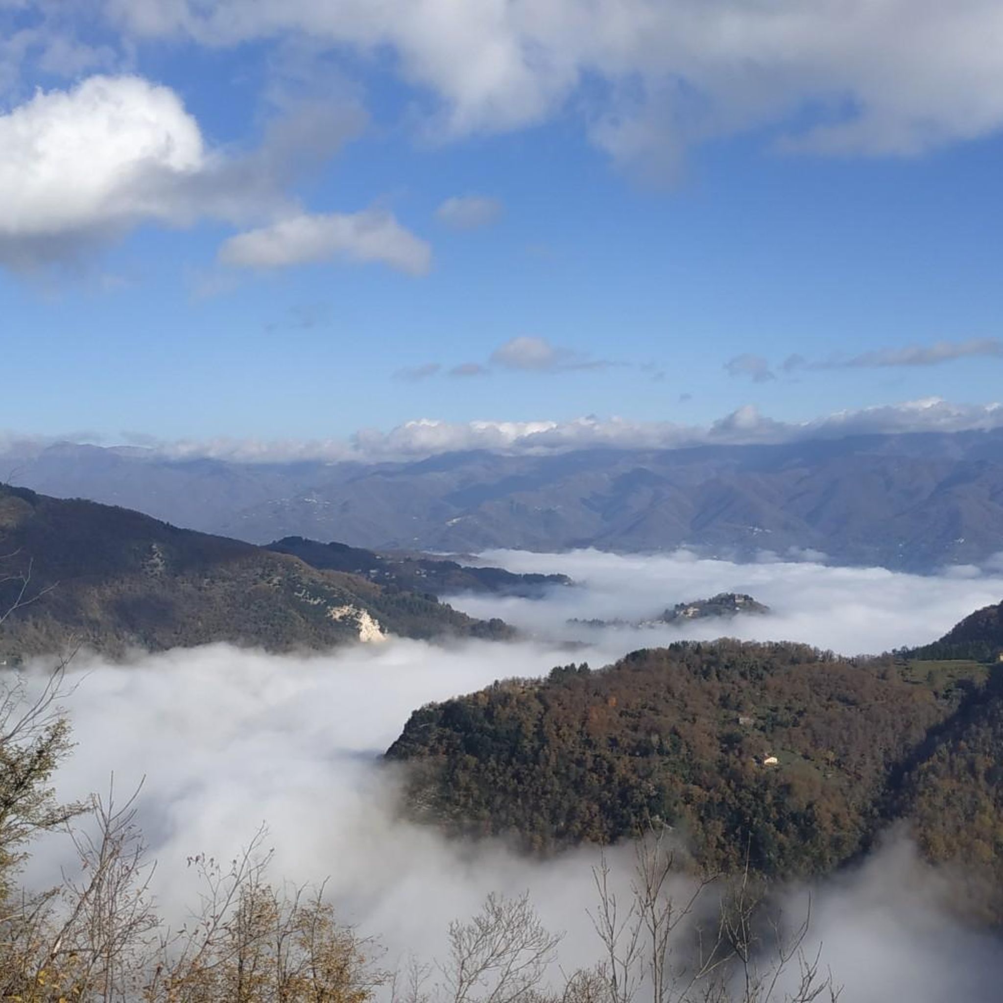
Running Trails around Castelnuovo Di Garfagnana

Gravel biking around Castelnuovo Di Garfagnana


Tips from the Community

Climbing Monte Corchia starting from Passo Croce (in the municipality of Stazzema) is one of the most scenic and exciting hikes in the Apuan Alps. The complete loop takes about 5-6 hours and covers an elevation gain of about 550-600 meters (reaching 1678 meters in altitude), and it is classified as EE (Expert Hikers) due to some exposed and steep sections. Even with a MTB it is a beautiful scenic route, you follow the dirt road under the Corchia pinnacles up to a fork. To the left, you descend towards Fociomboli, Puntato, the ghost town of Col di Favilla, then to the Gufonaglia quarry where you need to pay close attention due to the very steep and stony road. Straight ahead from the fork, you reach the Del Freo refuge. Rifugio Giuseppe Del Freo - Pietrapana is one of the main alpine landmarks of the Apuan Alps, located at 1,180 meters above sea level in the grassy basin of Foce di Mosceta.
0
0
The Oasis of Campocatino is a mountain locality in the Apuan Alps, in the municipality of Vagli di Sotto, located at 1000 m above sea level, beneath the imposing wall of Monte Roccandagia. It includes a large basin of glacial origin, a testament to the extent of Quaternary glaciation in the Apennine area. Inside, we find the typical pastoral buildings called "caselli," which have been preserved with their ancient construction characteristics. Since 1991, it has become a "LIPU Natural Oasis." The coexistence of different environments and the natural integrity of the area have allowed the acclimatization of various bird species that reproduce there. Along the rocky walls, the Alpine chough and the Wallcreeper nest; in the high-altitude meadows and pastures, the Skylark, the Rufous-tailed Rock Thrush, the Wheatear, and the Greater Short-toed Lark are observed, while the woods below are populated by the Blackcap, the Goldfinch, the Chaffinch, the Brambling, the Firecrest, the Dartford Warbler, the Robin, the Eurasian Nuthatch, the Song Thrush, the Mistle Thrush, the Wren, and four species of tits: Great Tit, Blue Tit, Coal Tit, and Marsh Tit. Biodiversity is also present among the birds of prey that inhabit the area: the Tawny Owl, the Kestrel, the Eagle Owl, the Common Buzzard, the Sparrowhawk, and sometimes the Eagle soars over the area in search of prey. A little curiosity: in 1998 Campocatino was the film set for the movie "il mio west" directed by Giovanni Veronesi, starring Leonardo Pieraccioni, Harvey Keitel, David Bowie, and Alessia Marcuzzi. In memory of David Bowie's presence, a statue has been placed near the stone houses to commemorate his time there.
0
0

Some summit crosses have no corpus, while others are adorned with the figure of the crucified Christ. But the most famous crucifix on the Italian peninsula leads us away from here into the Po Valley. There in the 'Bassa', the writer Giovanni Guareschi (1908 to 1968) set his popular short stories about the protagonists 'Don Camillo' and 'Peppone'. But besides the two, there is another main character: because Jesus Christ himself speaks from the high altar to the priest Don Camillo – whom the actor Fernandel (Fernand Joseph Désiré Contandin, 1903 to 1971) portrayed excellently in several feature films. The crucifix, originally made only for the film adaptations, has been preserved and has become a popular tourist attraction in Brescello (Emilia-Romagna). Via the following link, it can be virtually visited as a komoot highlight =>> https://www.komoot.com/de-de/highlight/6457013
0
0

Enrico Rossi Refuge, highly recommended!
0
0

panoramic point
0
0

Incredibly great view overlooking the surrounding Alps and the sea.
0
0

Great hideaway for a break. With a fountain outside!
0
0
Frequently Asked Questions
How many mountaineering routes are available around Castelnuovo Di Garfagnana?
There are 7 mountaineering routes documented around Castelnuovo Di Garfagnana, offering a range of experiences in the Apuan Alps.
Are there any moderate mountaineering routes suitable for those with some experience?
Yes, there are two moderate routes. One popular option is the Rifugio Rossi alla Pania loop from Grotta del Vento, which is 6.6 miles (10.6 km) long and takes about 5 hours. Another is the Monte Corchia – Fociomboli loop from Levigliani, covering 6.5 miles (10.5 km).
Where can I find more challenging mountaineering trails in the area?
For more advanced mountaineers, there are 5 difficult routes. Consider the Ferrata Salvatori – Natural arch loop from Fornovolasco, a 5.3 miles (8.5 km) path featuring technical sections. Another challenging option is the Monte Sumbra – Maestà del Tribbio loop from Vianova, which is 7.3 miles (11.8 km) long.
What are the typical distances and elevations for mountaineering routes in Castelnuovo Di Garfagnana?
The routes vary, but you can expect distances generally ranging from 5.3 miles (8.5 km) to 7.5 miles (12 km). Elevation gains typically fall between 645 meters (2,116 ft) and 884 meters (2,900 ft), reflecting the rugged nature of the Apuan Alps.
Are there any circular mountaineering routes available?
Many of the mountaineering routes in this region are designed as loops, allowing you to return to your starting point without retracing your steps. Examples include the Rifugio Rossi alla Pania loop from Grotta del Vento and the Monte Tambura Summit loop from Vagli Sopra.
What kind of natural landmarks or points of interest can I see along these routes?
The Apuan Alps are known for their dramatic geological features. You might encounter natural arches, such as the Monte Forato Natural Arch, or explore areas around significant mountain passes like Passo del Vestito and Tambura Pass. Some routes also lead to mountain huts like Nello Conti Hut.
When is the best time of year for mountaineering in the Castelnuovo Di Garfagnana region?
The best time for mountaineering in the Apuan Alps is typically from late spring through early autumn (May to October). During these months, the weather is generally more stable, and trails are clear of snow at lower to mid-altitudes. Always check local weather conditions before heading out, especially for higher elevations.
Are dogs allowed on the mountaineering routes around Castelnuovo Di Garfagnana?
While many trails in Italy are dog-friendly, it's always best to check specific regulations for the Apuan Alps Regional Park or individual routes. Some protected areas may require dogs to be on a leash, and certain technical sections or ferratas might not be suitable for dogs.
Is parking generally available at the trailheads for these routes?
Parking availability can vary by trailhead. For routes starting from villages like Fornovolasco or Vianova, you can often find designated parking areas. However, it's advisable to research specific starting points in advance, especially during peak season, as spaces can be limited.
What do other mountaineers say about the routes in Castelnuovo Di Garfagnana?
The mountaineering routes in Castelnuovo Di Garfagnana are highly regarded by the komoot community, with an average rating of 4.8 stars from around 10 reviews. Users often praise the dramatic limestone landscapes, the challenging yet rewarding ascents, and the panoramic views from the summits of the Apuan Alps.
What kind of gear should I bring for mountaineering in the Apuan Alps?
Given the rugged terrain and potential for varied weather, it's essential to bring appropriate gear. This includes sturdy hiking boots, layers of clothing, rain gear, a map and compass or GPS device, sufficient water and snacks, and a first-aid kit. For more technical routes, a helmet and via ferrata kit may be necessary.
Can I reach the mountaineering trailheads by public transport?
While Castelnuovo Di Garfagnana itself is accessible by train, reaching specific trailheads in the more remote Apuan Alps often requires a car. Public bus services to smaller villages near trailheads might be limited, especially outside of peak tourist season. Planning your transport in advance is recommended.
Most popular routes around Castelnuovo Di Garfagnana
Most popular attractions around Castelnuovo Di Garfagnana

Get inspired with the komoot mobile app


Explore more
Browse the best Mountain Hikes & Routes in other regions.
