The best mountain hikes around Monchio Delle Corti
5.0
(5)
48
hikers
9
hikes
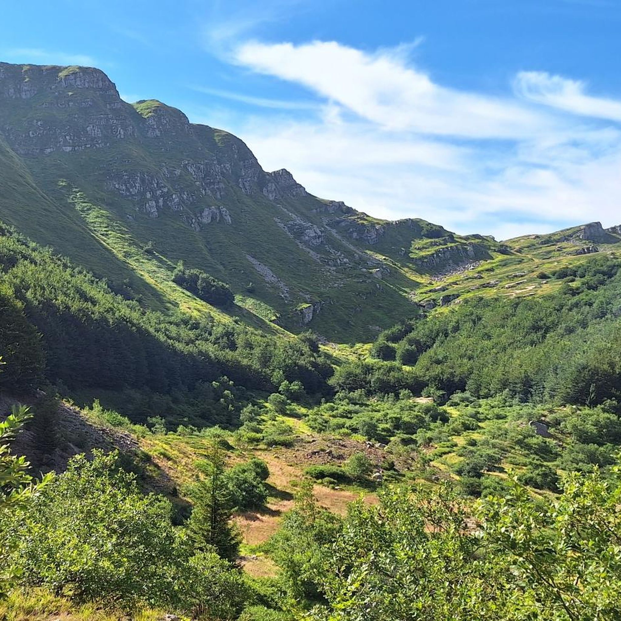
Mountaineering routes Monchio Delle Corti are found within the Parma Apennines, a region characterized by diverse natural landscapes and its position within the Parco dei Cento Laghi. The terrain features significant peaks such as Monte Sillara (1,861 meters) and Monte Caio (1,560 meters), alongside numerous mountain lakes like Lago Calamone and Lago Verde. Extensive networks of old mule tracks and woodland paths traverse dense forests and high-altitude pastures, providing varied environments for mountaineering.
Best mountaineering routes around Monchio Delle Corti
…Last updated: July 4, 2026
5.0
(1)
13
hikers
11.1km
04:55
960m
960m
Hard mountaineering route. Very good fitness required. Mostly accessible paths. Sure-footedness required.
10
hikers
Moderate mountaineering route. Good fitness required. Mostly accessible paths. Sure-footedness required.

Sign up for free
2
hikers
Hard mountaineering route. Good fitness required. Sure-footedness, sturdy shoes and alpine experience required.
6
hikers
10.6km
04:39
970m
970m
Hard mountaineering route. Very good fitness required. Mostly accessible paths. Sure-footedness required.
4
hikers
9.47km
04:15
620m
620m
Hard mountaineering route. Good fitness required. Sure-footedness, sturdy shoes and alpine experience required.
Get access to more routes and recommendations from other explorers.
Sign up for free
Already have an account?
Our route recommendations are based on thousands of hikes, rides, and runs completed by other people on komoot.
Start today with a free account
Your next adventure awaits.
Login or Signup
Popular around Monchio Delle Corti


Tips from the Community

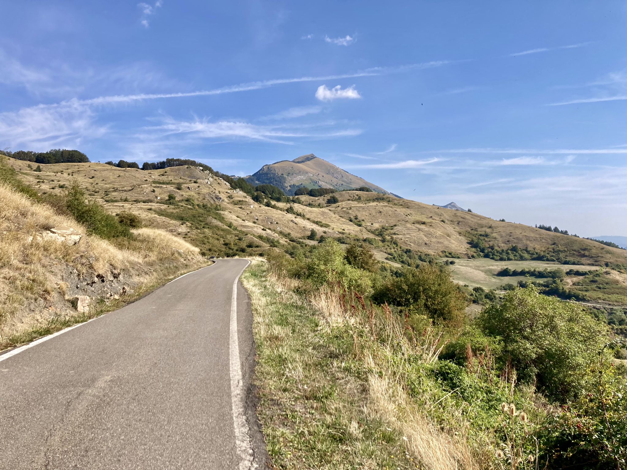
The Diga del Lagastrello (officially called Diga di Lago Paduli) is an artificial dam located in the Tuscan-Emilian Apennines, at an altitude of about 1,157 meters in the municipality of Comano (Massa-Carrara), very close to the Passo del Lagastrello which separates Tuscany from Emilia-Romagna. Built between 1906 and 1910 for hydroelectric purposes by damming the Enza stream, it creates the Lago Paduli, an artificial basin that collects over 3 million cubic meters of water. From an engineering point of view, it is a notable example of an earth-fill dam with a central impermeable clay core. In December 1909, during the final stages of its construction, it suffered a partial and disastrous collapse that devastated the underlying Val Cedra, fortunately without causing any casualties.
0
0
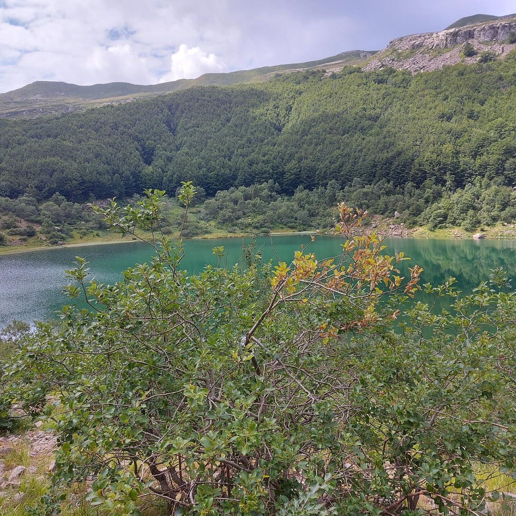
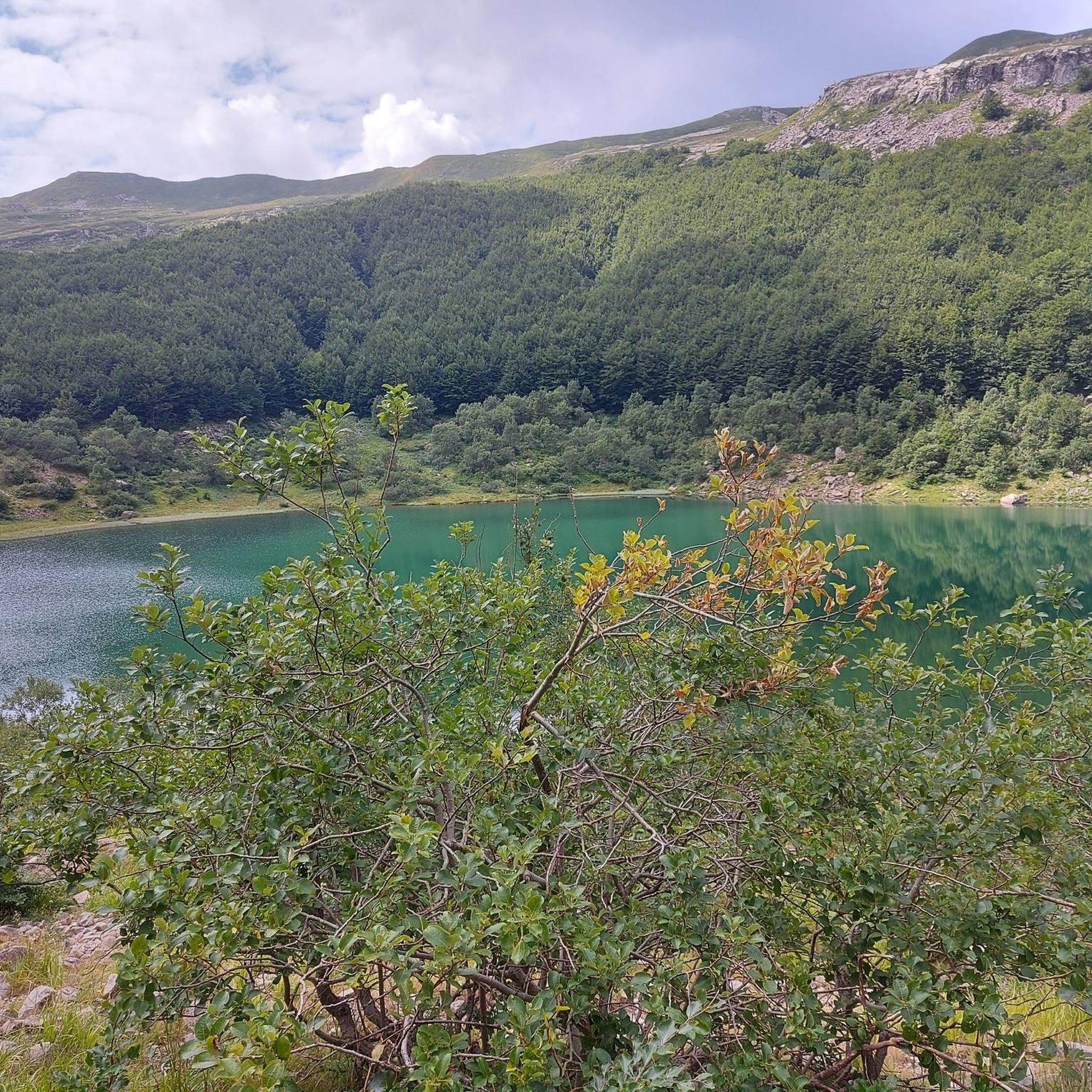
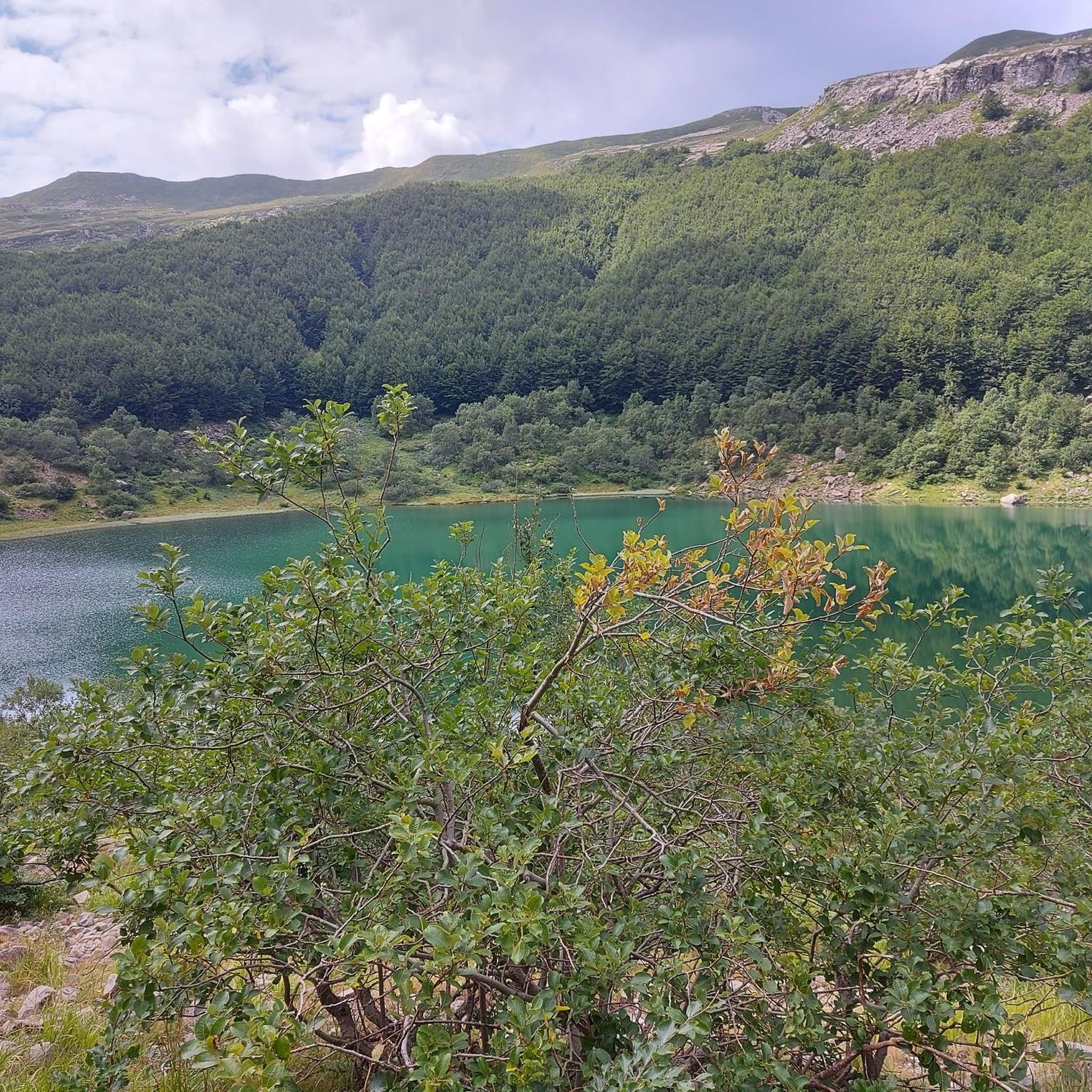
The Lago Santo Parmense is the largest glacial lake in Emilia-Romagna and the largest natural body of water in the entire northern Apennines. Located at an altitude of 1,507 meters in the municipality of Corniglio, it covers an area of over 81,000 square meters and reaches a maximum depth of 22.5 meters. It is located within the Tuscan-Emilian Apennine National Park (also known as the Park of the Hundred Lakes) and is dominated by the walls of Monte Marmagna.
0
0
Lago Santo Parmense is the largest glacial lake in Emilia-Romagna and the largest natural body of water in the entire northern Apennines. Located at an altitude of 1,507 meters in the municipality of Corniglio, it covers an area of over 81,000 square meters and reaches a maximum depth of 22.5 meters. It is located within the Tuscan-Emilian Apennine National Park (also known as Parco dei Cento Laghi) and is dominated by the walls of Monte Marmagna.
0
0

The Rifugio is closed (June 2026)
0
0
The Passo del Cerreto is an important pass in the Tuscan-Emilian Apennines, located at an altitude of 1,261 meters. It separates Tuscany from Emilia-Romagna, connecting the province of Massa-Carrara (municipality of Fivizzano) with that of Reggio Emilia (municipality of Ventasso). The pass is entirely crossed by the State Road 63 (SS 63).
0
0

Beautiful route, with a stunning summit panorama
1
0


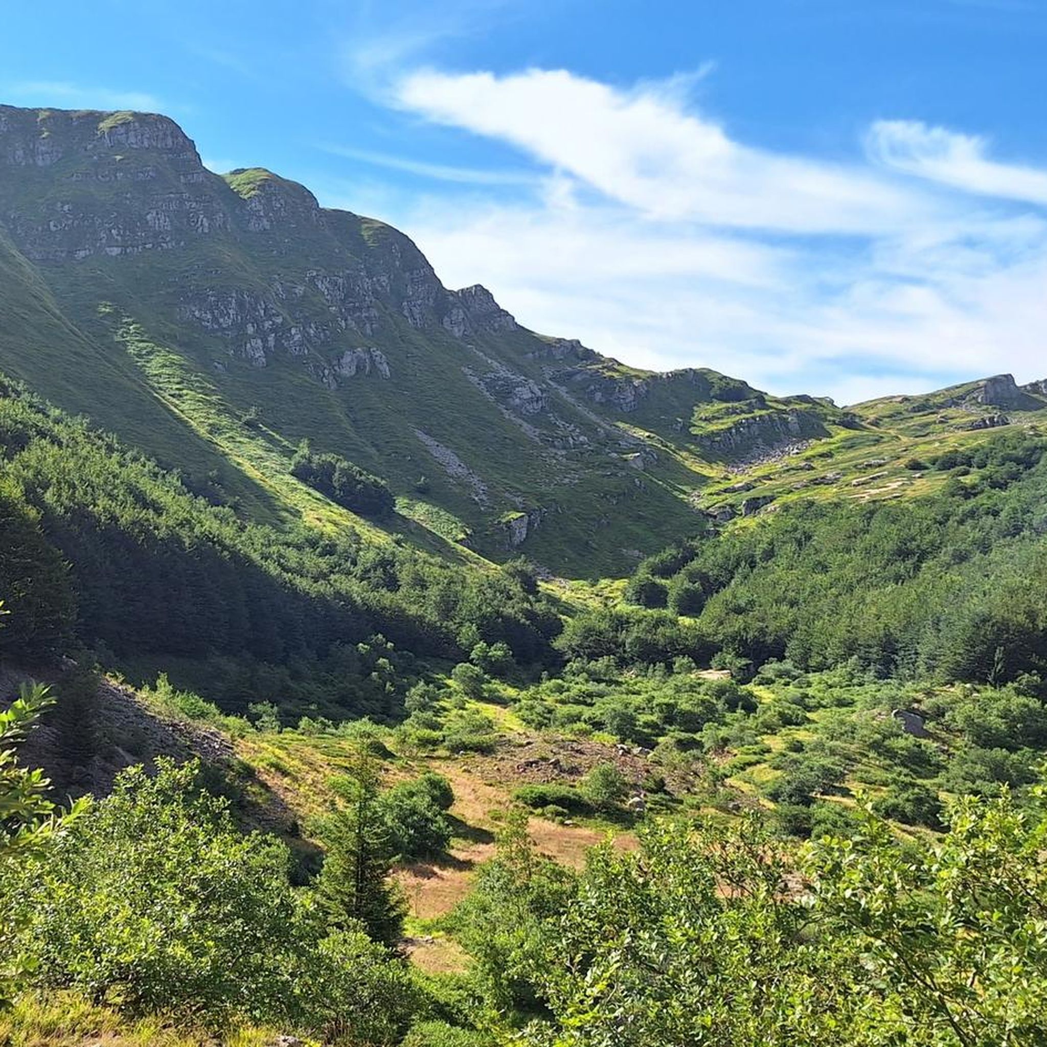
Nice panoramic point at the foot of M. Marmagna
0
0
Frequently Asked Questions
How many mountaineering routes can I explore in Monchio Delle Corti?
Monchio Delle Corti offers a diverse selection of over 10 mountaineering routes, catering to various skill levels. These trails traverse the stunning landscapes of the Parma Apennines and the Parco dei Cento Laghi, providing options from moderate excursions to challenging, sustained climbs.
Are there any circular mountaineering routes in the area?
Yes, many of the mountaineering routes in Monchio Delle Corti are circular, allowing you to experience varied scenery without retracing your steps. An excellent example is the challenging Alpe di Succiso – Il Torrione loop from Succiso Nuovo, which covers approximately 11.1 km and takes nearly 5 hours to complete.
What kind of natural landmarks or viewpoints can I expect to see on these routes?
The region is rich in natural beauty. You'll encounter significant peaks like Monte Sillara and Monte Caio, as well as numerous mountain lakes such as Lago Calamone and Lago Verde. For breathtaking panoramic views, consider a route that offers vistas from Monte Torricella, known for its spectacular 360° perspective. You can also find highlights like the Lagastrello Dam and Lake Calamone along various trails.
Are there any routes suitable for families or beginners?
While many routes are challenging, there are options for those seeking a more moderate experience. The Lake Santo Parmense – Sella del Marmagna loop from Riserva Naturale Orientata Guadine-Pradaccio is a moderate 7.3 km path exploring picturesque alpine scenery, which could be suitable for families with some hiking experience. The Parco dei Cento Laghi also offers a variety of trails that range in difficulty.
What is the best time of year for mountaineering in Monchio Delle Corti?
The warmer months, typically late spring to early autumn, are ideal for mountaineering when trails are clear of snow and weather conditions are generally stable. However, the region also offers unique experiences in winter, with areas like Prato Spilla transforming into ski resorts. Lago Verdarolo, for instance, becomes a silent, frozen landscape in winter, offering a distinct visual experience. Always check local weather and trail conditions before heading out, especially in shoulder seasons.
Are there any waterfalls to discover along the mountaineering trails?
Yes, the Monchio Delle Corti area is home to several beautiful waterfalls. You might encounter the Piscio di Pracchiola Waterfall or the Waterfall at the Mill Ruin. These natural features add an extra element of beauty to your mountaineering adventure.
What do other mountaineers say about the routes in Monchio Delle Corti?
The mountaineering routes in Monchio Delle Corti are highly regarded by the komoot community, boasting an average rating of 4.9 stars from 5 reviews. Mountaineers often praise the diverse terrain, from dense forests to high-altitude pastures, and the stunning alpine lakes that characterize the region.
Are there any challenging routes for experienced mountaineers?
Absolutely. For experienced mountaineers seeking a challenge, routes like the Alpe di Succiso Summit loop from Succiso offer significant elevation gain and demanding terrain. This difficult route covers over 10 km and involves nearly 1000 meters of ascent, providing a rewarding experience for those looking for a strenuous climb.
Can I find accommodation or places to eat near the trails?
Monchio Delle Corti and its surrounding villages offer various amenities. While specific cafes or pubs directly on the trails might be limited, you can find accommodation and dining options in the main town and nearby hamlets. The Giovanni Mariotti Mountain Hut at Lago Santo is an example of a facility located near a popular lake, providing a potential stop for rest or refreshment.
What makes the Parco dei Cento Laghi special for mountaineering?
The Parco dei Cento Laghi, where Monchio Delle Corti is situated, is a protected area known for its remarkable biodiversity and varied environments. It features numerous mountain lakes, extensive forests, and a network of old mule tracks and paths. This diversity ensures a wide range of mountaineering experiences, from serene lakeside walks to challenging ascents through different ecosystems, offering opportunities for wildlife observation.
Are there any routes that offer a good mix of lakes and mountain views?
Yes, many routes combine the beauty of alpine lakes with impressive mountain vistas. The Lago di Monte Acuto loop from Passo del Lagastrello is a moderate 9.1 km trail that leads through the Parco dei Cento Laghi, offering scenic views of the lake and surrounding peaks. This route is often completed in under 4 hours.
What are the highest peaks accessible for mountaineering in this region?
Monchio Delle Corti is nestled among significant peaks in the Parma Apennines. Monte Sillara, at 1,861 meters, is the highest peak in the province of Parma, offering a challenging objective for mountaineers. Other prominent mountains include Monte Caio (1,560 meters) and Monte Torricella (1,728 meters), all providing rewarding climbs and expansive views.
Is it possible to access the mountaineering routes using public transport?
While specific public transport links directly to every trailhead can be limited in mountainous regions, some routes may be accessible via local bus services to Monchio Delle Corti or nearby villages. It's advisable to research local bus schedules and connections to the specific starting points of your chosen routes, as many trailheads are best reached by car.
Most popular routes around Monchio Delle Corti
Most popular attractions around Monchio Delle Corti

Get inspired with the komoot mobile app


Explore more
Browse the best Mountain Hikes & Routes in other regions.
