The best walks and hikes around Nocciano
4.1
(10)
67
hikers
11
hikes
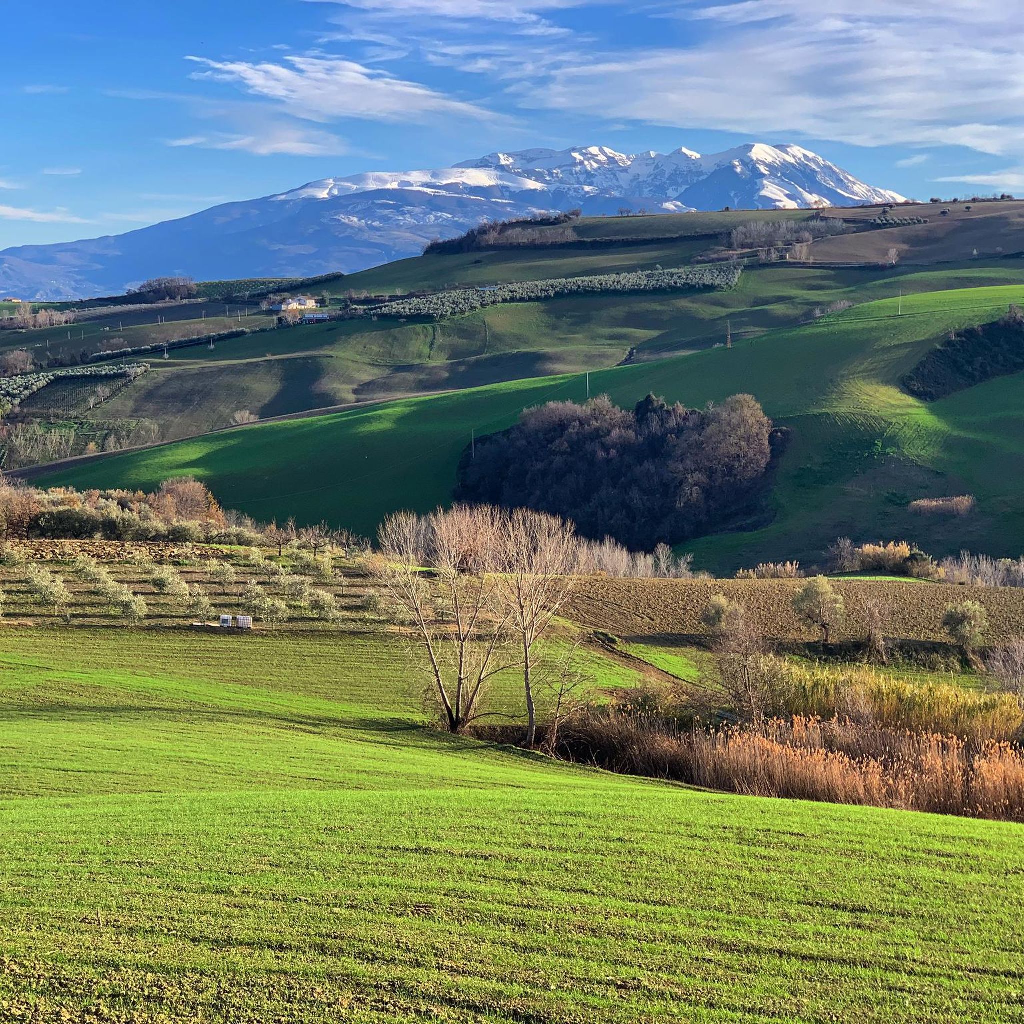
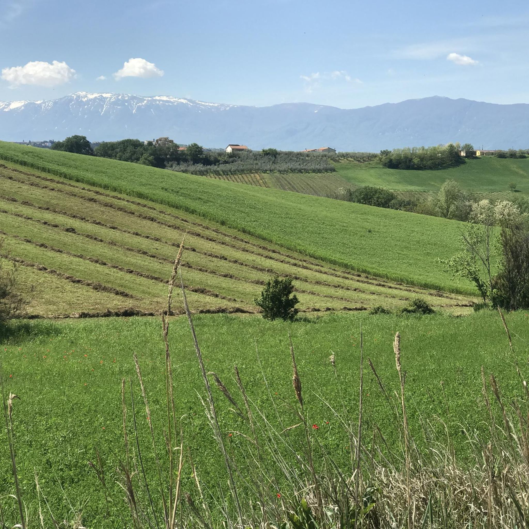
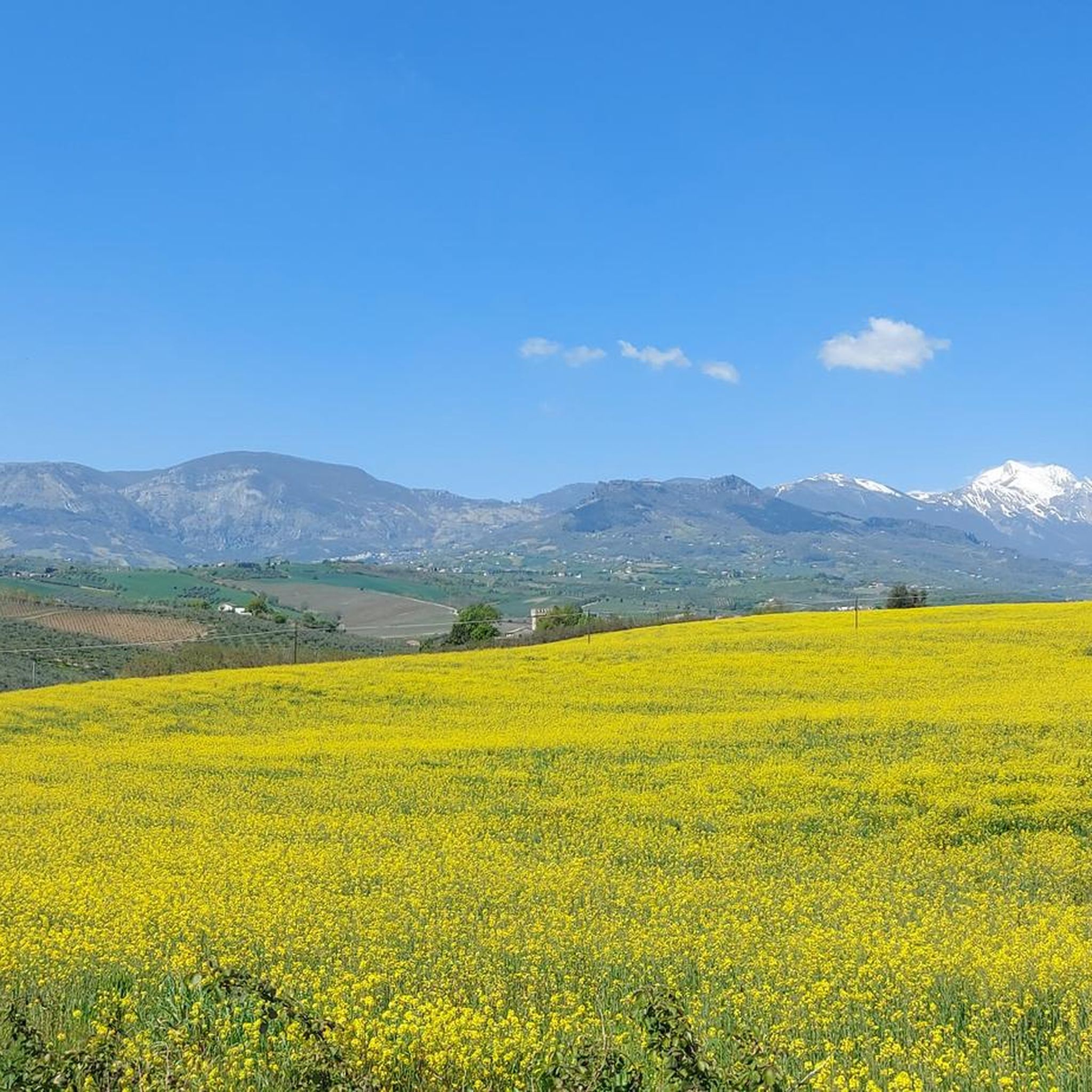
Hiking around Nocciano offers exploration through a landscape characterized by gentle hills, expansive vineyards, and ancient olive groves. The town is nestled between the Nora and Cigno rivers, providing varied terrain for outdoor activities. The broader Abruzzo region features a diverse environment, from river valleys to the foothills of the Apennines. This area provides a mix of cultivated lands and natural riverine features, making it suitable for various hiking routes.
Best hiking trails around Nocciano
- The most popular hiking route…
Last updated: July 5, 2026
4.0
(3)
21
hikers
7.75km
02:02
60m
60m
Moderate hike. Good fitness required. Easily-accessible paths. Suitable for all skill levels.
4.3
(3)
13
hikers
10.2km
03:00
270m
270m
Moderate hike. Good fitness required. Easily-accessible paths. Suitable for all skill levels.

Sign up for free
4.0
(1)
8
hikers
10.8km
03:00
200m
200m
Moderate hike. Good fitness required. Easily-accessible paths. Suitable for all skill levels.
7
hikers
7.78km
02:08
130m
130m
Moderate hike. Good fitness required. Easily-accessible paths. Suitable for all skill levels.
4.0
(2)
4
hikers
10.7km
02:59
210m
200m
Moderate hike. Good fitness required. Easily-accessible paths. Suitable for all skill levels.
Get access to more routes and recommendations from other explorers.
Sign up for free
Already have an account?
Our route recommendations are based on thousands of hikes, rides, and runs completed by other people on komoot.
Start today with a free account
Your next adventure awaits.
Login or Signup

Tips from the Community

The village of Rosciano sits on the rolling hills of Abruzzo, dominated by a medieval tower that tells the story of centuries of history. The village is immersed in a landscape of vineyards, olive groves, and authentic traditions.
1
0


Sant'Andrea, in Rosciano, is the historic estate of the Marramiero winery
0
0

This is a little-known protected area. The characteristic feature is the sulphurous waters of the Lavino river, which are of an intense turquoise colour. Right at the entrance to the park there is an area equipped with tables and a play area.
3
0

Small ancient village in the province of Pescara.
0
0
Frequently Asked Questions
What kind of terrain can I expect when hiking around Nocciano?
Hiking around Nocciano primarily features gentle hills, expansive vineyards, and ancient olive groves. The town is situated between the Nora and Cigno rivers, offering varied terrain that includes cultivated lands and natural riverine features. The broader Abruzzo region provides a diverse environment, from river valleys to the foothills of the Apennines.
Are there any easy hiking trails suitable for beginners or families in Nocciano?
Yes, there are options for easier walks. For instance, the Hiking loop from Turrivalignani is an easy 2.1 km (1.3 miles) trail that takes about 34 minutes to complete, leading through rolling hills and agricultural areas.
What natural features or landmarks can I see on hikes near Nocciano?
The region offers several notable natural features and landmarks. You can visit the distinctive Sulphur Springs of the Lavino River, known for its turquoise waters. Some routes, like the View of the Orta Gorge – Scura Cave loop from Piano d'Orta-Bolognano, offer views of the Orta Gorge. You might also encounter the View of the Majella and Gran Sasso mountains from certain viewpoints.
What do other hikers say about the trails in Nocciano?
The hiking routes in Nocciano are highly rated by the komoot community, with an average score of 3.9 stars from over 10 reviews. Hikers often appreciate the gentle landscapes, vineyards, and river valleys that define the area.
Are there any historical or cultural points of interest to explore while hiking?
Yes, Nocciano and its surrounding villages offer cultural and historical points of interest. Nocciano itself features a recently restored castle, which now houses a Museum of Contemporary Art, and historical churches like the Romanesque Church of San Lorenzo. These architectural gems can be integrated into hiking routes, blending natural beauty with cultural exploration.
Are there any circular hiking routes available around Nocciano?
Yes, many of the trails around Nocciano are designed as loops. Examples include the Hiking loop from Scafa, the Hiking loop from Turrivalignani, and the Torre and Palazzo De Felice – Rosciano loop from Rosciano.
What is the best time of year to go hiking in Nocciano?
The Abruzzo region, including Nocciano, offers pleasant hiking conditions during spring and autumn when temperatures are mild and the landscapes are vibrant with blossoms or autumn colors. Summer can also be suitable, especially in the early mornings or late afternoons, though it can get warm. Winter hiking is possible but may require appropriate gear, especially if venturing towards higher elevations in the nearby national parks.
How many hiking trails are available in the Nocciano area?
There are several hiking routes available directly around Nocciano, with komoot featuring 6 distinct tours in the immediate vicinity. These range from easy to moderate difficulty, offering options for various fitness levels.
Are there any viewpoints or scenic spots along the trails?
Yes, the region's rolling hills and river valleys naturally offer scenic views. The View of the Orta Gorge – Scura Cave loop from Piano d'Orta-Bolognano provides specific views of the Orta Gorge. Additionally, the View of the Majella and Gran Sasso highlight indicates a spot with expansive mountain vistas.
What are the typical distances and durations for hikes around Nocciano?
Hikes around Nocciano vary in length and duration. You can find shorter routes like the Hiking loop from Turrivalignani, which is 2.1 km (1.3 miles) and takes about 34 minutes. Longer, moderate trails such as the View of the Orta Gorge – Scura Cave loop from Piano d'Orta-Bolognano cover about 10.2 km (6.3 miles) and can take around 3 hours.
Are there opportunities to see significant natural parks near Nocciano?
Nocciano serves as a gateway to some of Abruzzo's most significant natural parks. A short distance away are the Majella National Park, known for its challenging mountain trails, and the Gran Sasso and Monti della Laga National Park, home to the highest peak in the Apennines and the vast Campo Imperatore plateau. These parks offer extensive hiking opportunities beyond the immediate Nocciano area.
What is the general difficulty level of hiking trails in Nocciano?
The hiking trails directly around Nocciano are generally considered easy to moderate. Most routes feature gentle elevation changes and traverse cultivated landscapes, making them accessible for a wide range of hikers. For more challenging terrain, the nearby national parks offer more strenuous options.
Most popular attractions around Nocciano

Get inspired with the komoot mobile app


Explore more
Browse the best Hikes in other regions.
