The best walks and hikes around Cerignola
4.4
(5)
41
hikers
12
hikes
Hiking around Cerignola offers access to diverse natural landscapes within the wider Puglia region. The area is characterized by its proximity to the vast Saline di Margherita di Savoia salt pans, a significant natural reserve. Further afield, the region provides access to the karst plateau and rolling hills of Alta Murgia National Park and the varied ecosystems of Gargano National Park. Local trails often traverse agricultural lands and riverine environments, such as those near the Ofanto River.
Best hiking trails…
Last updated: July 8, 2026
1
hikers
20.2km
05:05
20m
20m
Hard hike. Very good fitness required. Mostly accessible paths. Sure-footedness required.
10
hikers
7.90km
02:01
30m
30m
Moderate hike. Good fitness required. Easily-accessible paths. Suitable for all skill levels.

Sign up for free
5.0
(1)
11
hikers
7.16km
01:48
0m
0m
Easy hike. Great for any fitness level. Easily-accessible paths. Suitable for all skill levels.
4.0
(1)
8
hikers
Moderate hike. Good fitness required. Easily-accessible paths. Suitable for all skill levels.
5.0
(1)
5
hikers
10.0km
02:38
90m
90m
Moderate hike. Good fitness required. Easily-accessible paths. Suitable for all skill levels.
Get access to more routes and recommendations from other explorers.
Sign up for free
Already have an account?
Our route recommendations are based on thousands of hikes, rides, and runs completed by other people on komoot.
Start today with a free account
Your next adventure awaits.
Login or Signup
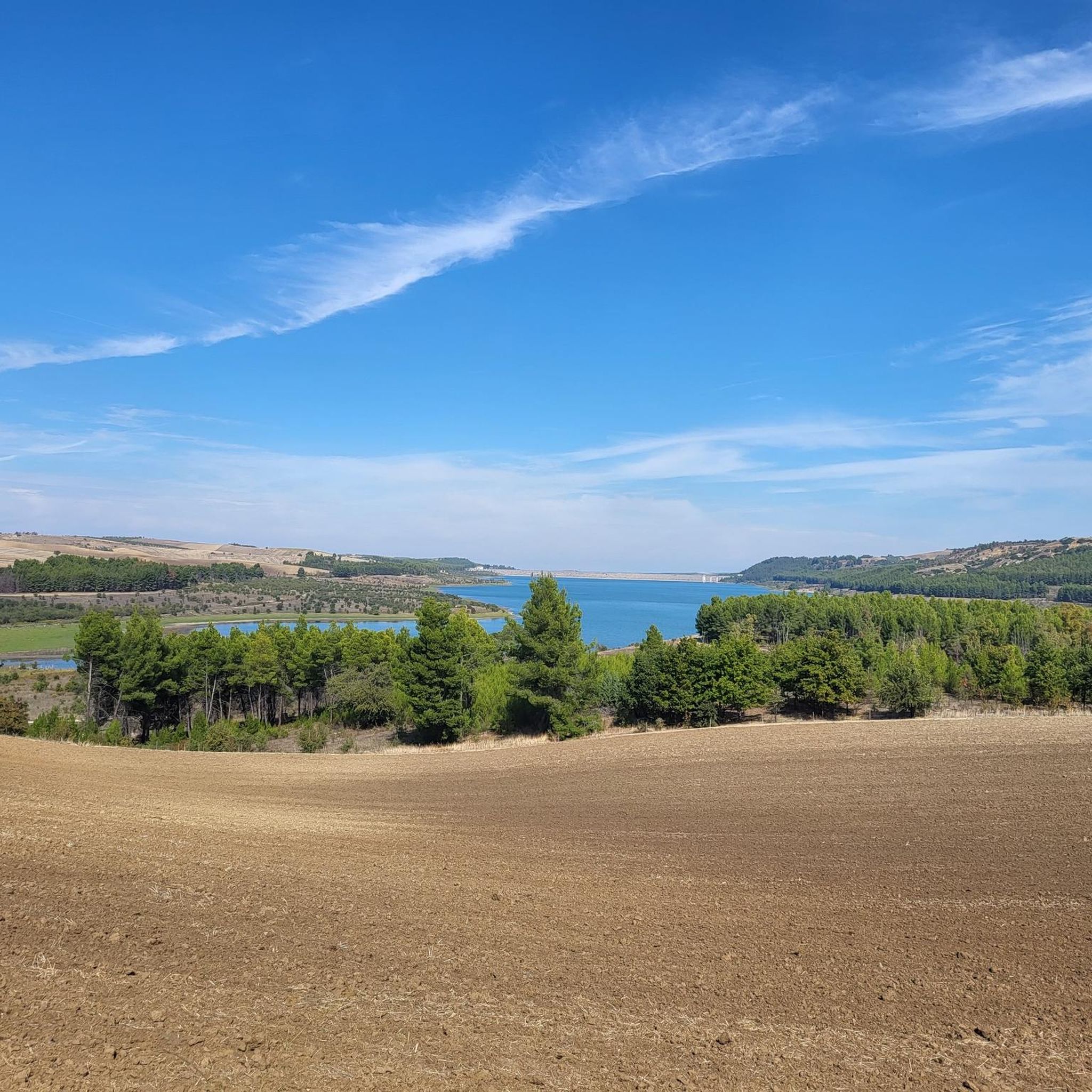
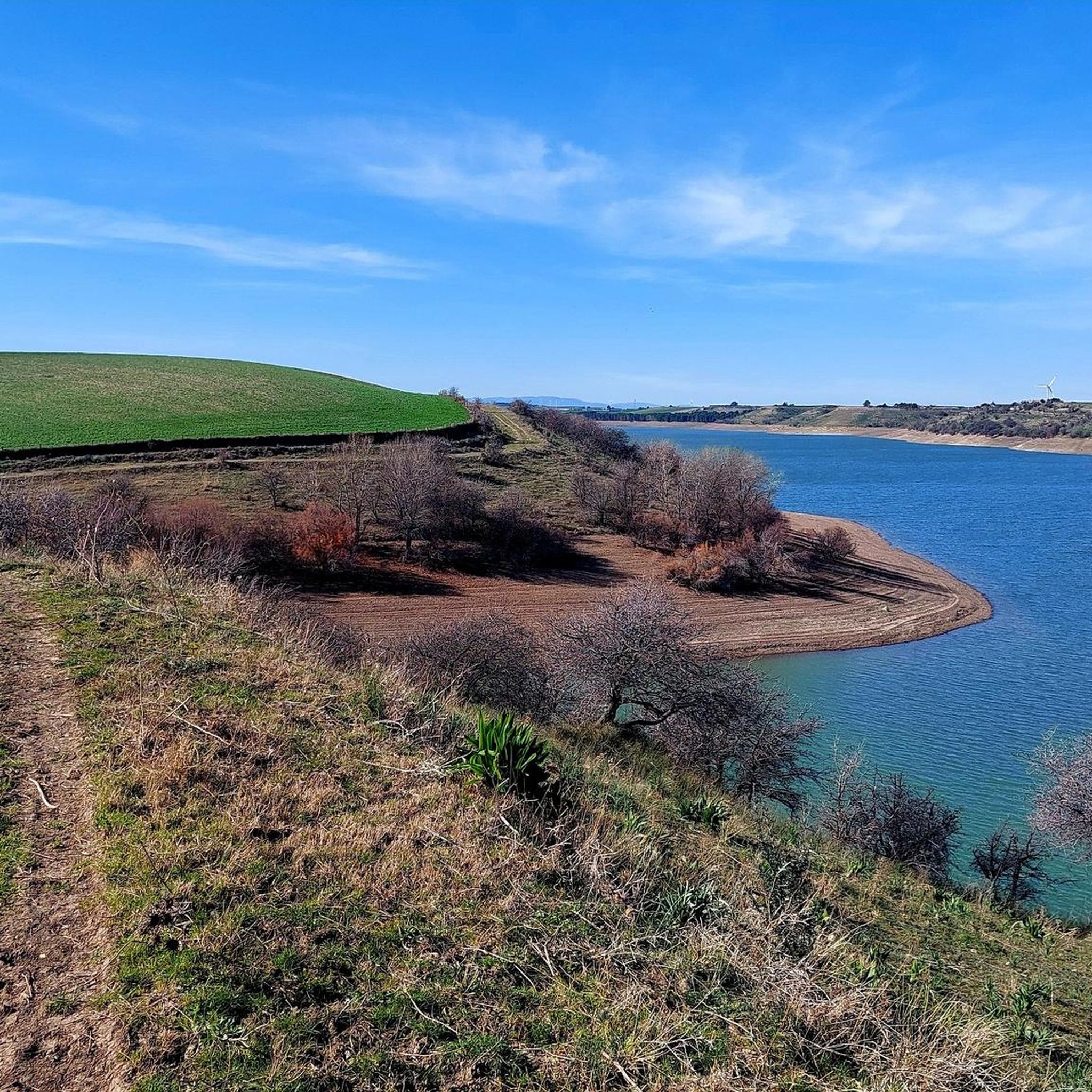
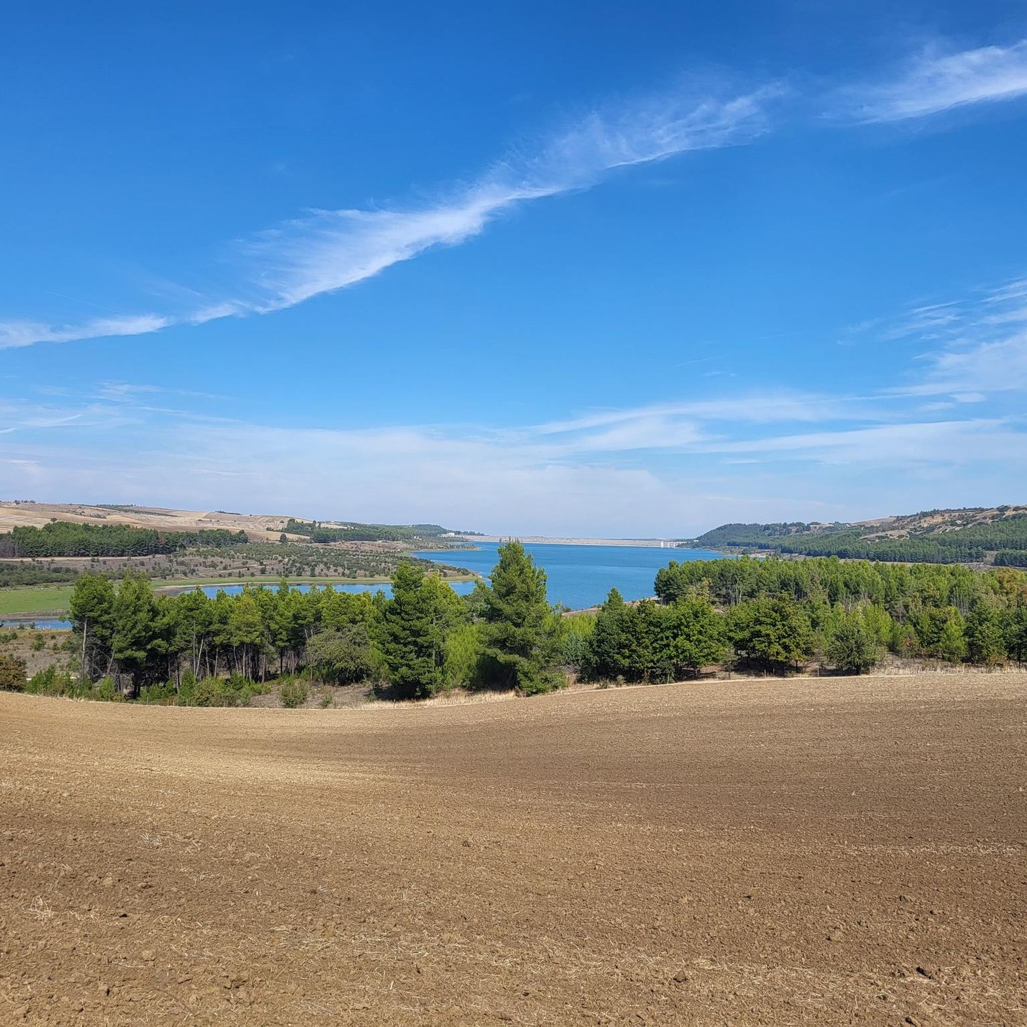
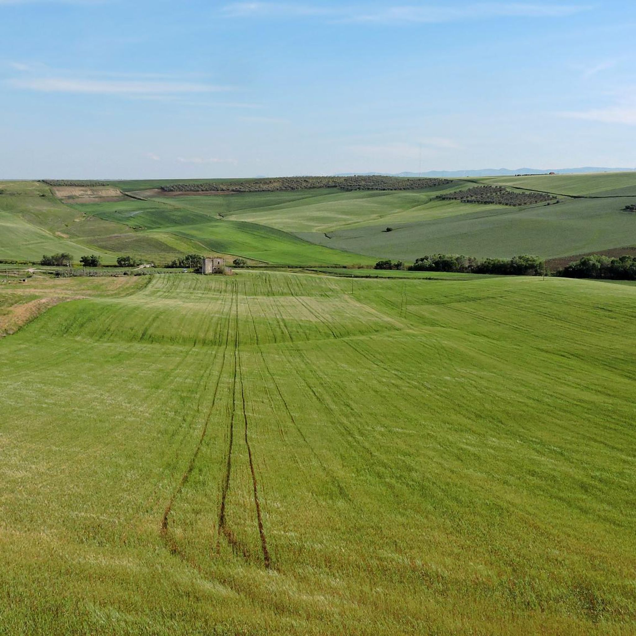
Tips from the Community

Beautiful mural with the protagonists of the fight against the mafia
0
0

Lavello, located in the Vulture-Melfese in Basilicata, rises in the middle valley of the Ofanto river. Characterized by an ancient origin, the town is home to the historic church of Sant'Anna, built in the 16th century and full of works of art. The territory preserves traces of Roman thermal buildings and early Christian burial grounds.
0
0

The salt pans of Margherita di Savoia are a protected natural area that extends for about 20 km along the Adriatic coast, where the sea water is evaporated and the salt is extracted. They are the largest salt pans in Europe and the second in the world for the production of sea salt. The area also has a high naturalistic value hosting a rich biodiversity of flora and fauna, including numerous aquatic birds and pink flamingos.
1
0

The salt pans of Margherita di Savoia are a protected natural area of Puglia established in 1977. They extend over an area of 4500 hectares, of which 4000 hectares are covered by water.
2
0
The church dates back to 1700 and is located in the center of Trinitapoli, an ancient medieval village in Puglia. In the same square, not far from the church, you can admire a beautiful anti-mafia mural.
2
0

piazza Santo Stefano transformed into an amphitheater against the mafia with phrases and faces of the victims Giancarlo Siani, Carlo Alberto Dalla Chiesa, Giovanni Falcone and Paolo Borsellino
0
0
Frequently Asked Questions
How many hiking trails are available around Cerignola?
There are 6 hiking trails available around Cerignola on komoot, offering a range of experiences from moderate to difficult. These routes explore diverse landscapes, including salt pans, agricultural plains, and river paths.
What is the best time of year to go hiking near Cerignola?
The mild weather in spring and autumn makes these periods ideal for exploring the natural beauty of the Cerignola region. Summers can be quite hot, while winters are generally mild but can have unpredictable weather.
Are there any easy hiking options for beginners or casual walkers?
While many trails around Cerignola are moderate to difficult, there is at least one easy route available. For a moderate option that is not too long, consider the Tiro a Segno loop from Cerignola, which is 7.9 km and takes about 2 hours.
What kind of natural features can I expect to see on hikes around Cerignola?
Hikes around Cerignola offer diverse natural features. You can explore the unique landscape of the Saline di Margherita di Savoia, one of Europe's largest salt pans, known for its birdlife including pink flamingos. Other routes traverse agricultural plains and follow river paths, such as those near the Ofanto River.
Are there any circular hiking routes available?
Yes, several circular routes are available. For example, the Margherita di Savoia Salt Pans Loop offers a challenging 20.2 km circular hike. A moderate option is the Ofanto River Ford loop from Laghetto artificiale San Mercurio, which is 10.6 km.
What historical landmarks or points of interest can be found near the hiking trails?
Near the hiking trails, you can discover several historical points of interest. The Roman Bridge over the Ofanto River is a notable landmark. Additionally, the Archaeological Site of Cannae is also in the vicinity, offering a glimpse into ancient history.
Are there any dog-friendly trails around Cerignola?
Many trails in the Cerignola region, especially those traversing agricultural lands and river paths, are generally suitable for dogs. However, always ensure your dog is on a leash and check local regulations, particularly in protected areas like the Saline di Margherita di Savoia, where wildlife is abundant.
What are the longer, more challenging hikes in the area?
For experienced hikers seeking a challenge, the Milestone – Teatro Mercadante loop from Stornara is a difficult 25.7 km route. Another demanding option is the Margherita di Savoia Salt Pans Loop, covering 20.2 km with unique views.
What do other hikers say about the trails around Cerignola?
The trails around Cerignola are well-regarded by the komoot community, holding an average rating of 4.0 stars. Hikers often appreciate the unique landscapes, particularly the salt pans, and the opportunity to explore the local countryside and river environments.
Are there opportunities for birdwatching while hiking?
Yes, the Saline di Margherita di Savoia, located approximately 26-29 kilometers from Cerignola, is a protected natural area and an internationally recognized Ramsar site. It's an excellent spot for birdwatching, famous for its diverse birdlife, including pink flamingos, which can be observed while hiking the nearby trails.
Can I find accommodation or places to eat near the hiking trails?
Cerignola itself offers various accommodation options and places to eat. For trails further afield, such as those near the Saline di Margherita di Savoia, the town of Margherita di Savoia provides amenities. For routes like the Fontana di San Felice loop from Lavello, you would find facilities in Lavello.
Are there any trails suitable for families with children?
While specific family-friendly trails are not highlighted, easier and moderate routes with less elevation gain, such as the Tiro a Segno loop from Cerignola, could be suitable for families looking for a shorter walk through agricultural landscapes. Always consider the distance and duration for younger hikers.
Most popular attractions around Cerignola

Get inspired with the komoot mobile app


Explore more
Browse the best Hikes in other regions.
