The best mountain hikes in Izki
16
hikers
3
hikes
Mountaineering in Izki offers a range of challenging routes through the Montaña Alavesa region. The terrain is characterized by significant elevation gains, leading to various summits and peaks. These mountaineering routes in Izki often feature diverse landscapes, from forested sections to exposed mountain passes. The area provides opportunities for advanced mountaineering trails, with several difficult options available.
Best mountaineering routes in Izki
- The most popular mountaineering route is El Gallo Summit loop from Bernedo, a 4.4 miles (7.2 km)…
Last updated: May 23, 2026
3
hikers
13.2km
05:05
650m
650m
Hard mountaineering route. Very good fitness required. Sure-footedness, sturdy shoes and alpine experience required.
10
hikers
6.58km
03:33
600m
600m
Moderate mountaineering route. Good fitness required. Mostly accessible paths. Sure-footedness required.

Sign up for free
3
hikers
8.07km
04:11
710m
710m
Hard mountaineering route. Good fitness required. Sure-footedness, sturdy shoes and alpine experience required.
Our route recommendations are based on thousands of hikes, rides, and runs completed by other people on komoot.
Start today with a free account
Your next adventure awaits.
Login or Signup
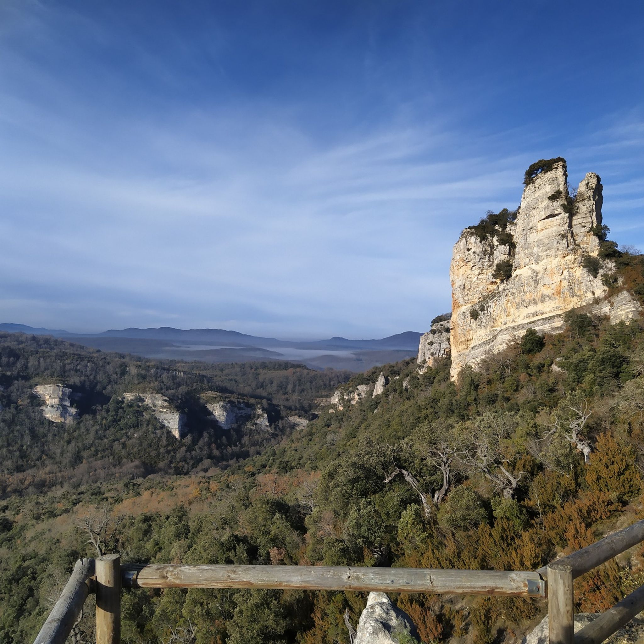
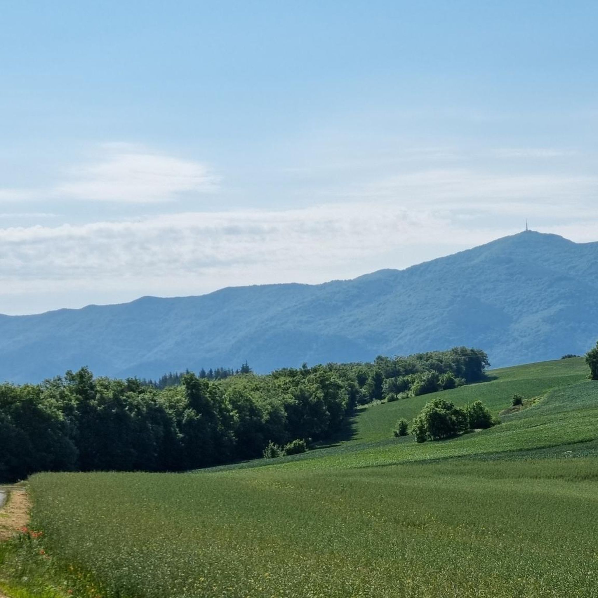
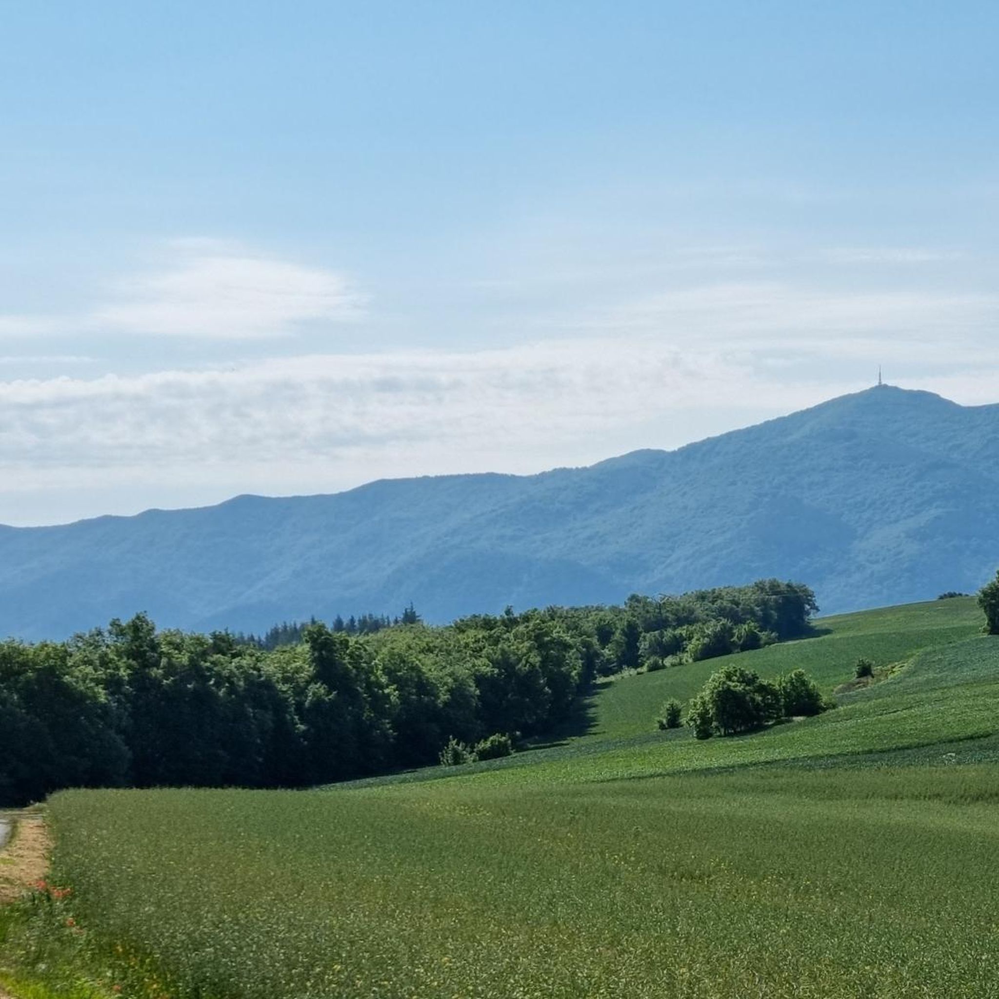
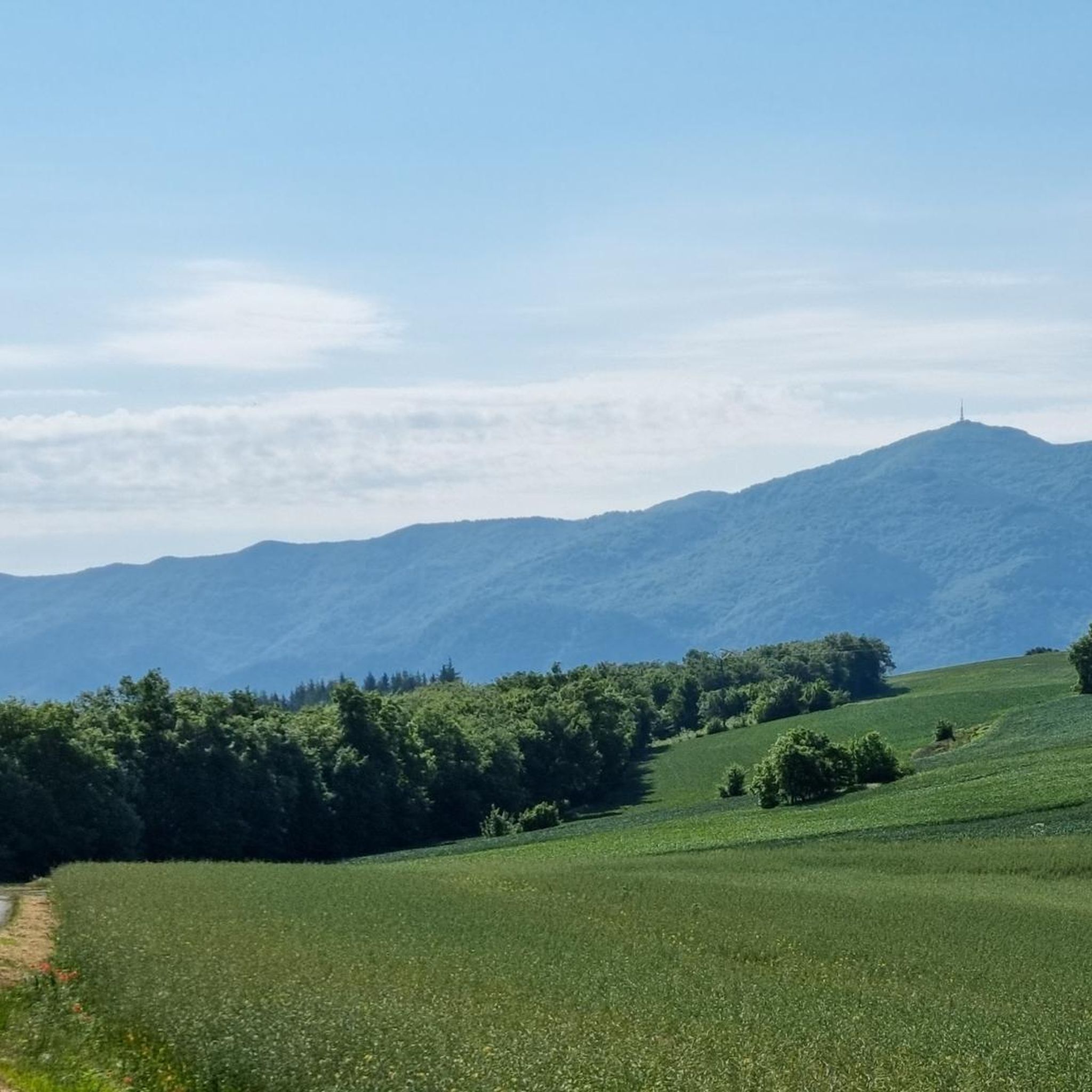

Tips from the Community

The Sanctuary of the Virgin of Codés is located at the foot of the mountain range. It is a splendid 16th-century building built on the remains of a hermitage. The Baroque tower dates from the 18th century. The holy water fountain is next to the arcades, and there is also a guesthouse and gardens for relaxing and passing the time. The route climbs to the left of the building to a parking lot where signs and signs display the hiking trails. The path continues along the GR-1 long-distance trail, the Historical Trail, to Santa Cruz de Campezo, on the Álava side of the mountain range. The path is quite steep through a tunnel of oak trees, some of which are centuries old and stand out in a disturbing way against the dense forest.
1
0

Shelter in a magnificent location. It's not in bad condition, but it needs some improvements to make it an excellent shelter.
0
0

Shelter with firewood and several other services.
0
0

One of the emblematic peaks of the area, a joy of views.
0
0
I advise reaching it from the south side, from Laguardia, in winter, and from the north side, from Lagrán, in the summer.
3
0

If you are interested in an "alpine" hike, you should definitely take the summit path from Puerto de Toro.
1
0

Characteristic summit of the Sierra de Toloña near Mount San Tirso. It is a steep peak that has the shape of a bishop's hat, from which the name comes.
1
0

Simply amazing postcards from the top of Joar at more than 1400 meters above sea level. To get here you can take alternative paths of greater or lesser degree of difficulty depending on your preference, in any case the route is very picturesque.
3
0
Frequently Asked Questions
How many mountaineering routes are available in Izki?
Komoot features 5 distinct mountaineering routes in Izki, offering a focused selection for exploring the Montaña Alavesa region. These routes range in difficulty from moderate to difficult.
Are there routes suitable for beginners in Izki?
Mountaineering in Izki is generally characterized by significant elevation gains and challenging terrain. While there are no routes classified as 'easy', some moderate options exist, such as the El Gallo Summit loop from Bernedo or the Peña de los Cencerros – Ioar loop from Torralba del Río. These still require a good level of fitness and experience.
What are some challenging mountaineering routes in Izki for experienced hikers?
For experienced mountaineers seeking a challenge, Izki offers several difficult routes. Consider the Bonete de San Tirso – San Tirso Peak (1,333 m) loop from Navarrete, which covers 8.2 miles with substantial elevation gain, or the Cruz del Castillo – Puerto del Toro loop from Lagrán, known for its varied mountain terrain. Another demanding option is the La Plana – Ioar loop from Torralba del Río.
Are there any circular mountaineering routes in Izki?
Yes, all the mountaineering routes featured in Izki are circular, allowing you to start and finish at the same point. Examples include the El Gallo Summit loop from Bernedo and the Bonete de San Tirso – San Tirso Peak (1,333 m) loop from Navarrete.
What is the typical duration for mountaineering routes in Izki?
The duration for mountaineering routes in Izki varies depending on the specific trail and your pace. Routes generally range from approximately 3 hours to over 5 hours. For instance, the El Gallo Summit loop typically takes around 3 hours 23 minutes, while the longer Bonete de San Tirso – San Tirso Peak loop can take over 5 hours.
What kind of elevation gain can I expect on Izki's mountaineering routes?
Mountaineering in Izki involves significant elevation changes. You can expect ascents ranging from approximately 500 meters (1,640 feet) to over 700 meters (2,300 feet) on a single route. For example, the La Plana – Ioar loop features an elevation gain of over 700 meters.
Are there any interesting landmarks or viewpoints along the mountaineering routes in Izki?
Yes, the Izki region offers several notable landmarks and viewpoints. You can find prominent peaks like Kapildui Summit, Soila, and Peñarroya. The Izki Gorge Viewpoint also provides stunning panoramic views of the natural landscape.
What is the best time of year to go mountaineering in Izki?
The best time for mountaineering in Izki is typically during the spring and autumn months when the weather is milder and more stable. Summer can also be suitable, but be prepared for warmer temperatures, especially at lower elevations. Winter mountaineering is possible but requires appropriate gear and experience due to potential snow and ice conditions.
Can I find facilities or places to rest near the trails in Izki?
While the routes themselves are primarily focused on natural mountain terrain, you can find some facilities in the surrounding villages and at specific points. The Izki Park House is a notable facility that can serve as a starting point or information hub for your adventures.
What makes mountaineering in Izki unique?
Mountaineering in Izki is unique for its blend of challenging summit ascents, diverse landscapes ranging from forested sections to exposed mountain passes, and the opportunity to explore the Montaña Alavesa region. The routes offer a true mountain experience with significant elevation gains and expansive views from its peaks.
Are there family-friendly mountaineering options in Izki?
Given the nature of mountaineering in Izki, with its significant elevation gains and difficult classifications, most routes are not typically considered suitable for young children or families seeking very easy walks. The moderate routes, such as the El Gallo Summit loop, might be an option for families with older, experienced, and fit children.
What are the most popular starting points for mountaineering in Izki?
Popular starting points for mountaineering in Izki include villages like Bernedo, Navarrete, Lagrán, and Torralba del Río. These locations provide access to various trailheads, such as the start of the El Gallo Summit loop from Bernedo or the Bonete de San Tirso – San Tirso Peak loop from Navarrete.
Most popular routes in Izki
Most popular attractions in Izki

Get inspired with the komoot mobile app


Explore more
Browse the best Mountain Hikes & Routes in other regions.
