Top 20 Natural Monuments around Gennargentu National Park
Best natural monuments around Gennargentu National Park showcase diverse landscapes, from high peaks to deep gorges and coastal formations. This region, often referred to as the "wild heart of Sardinia," features unspoiled nature and ancient geological history. The park spans the provinces of Nuoro and Ogliastra, offering a variety of natural attractions. It is a prime destination for exploring Sardinia's rugged beauty and rich biodiversity.
Best natural monuments around Gennargentu National Park
- The most popular natural monuments is Gorropu Gorge, a canyon considered one of Europe's deepest. It features narrow, winding passages flanked by towering rock walls, carved by the Rio Flumineddu.
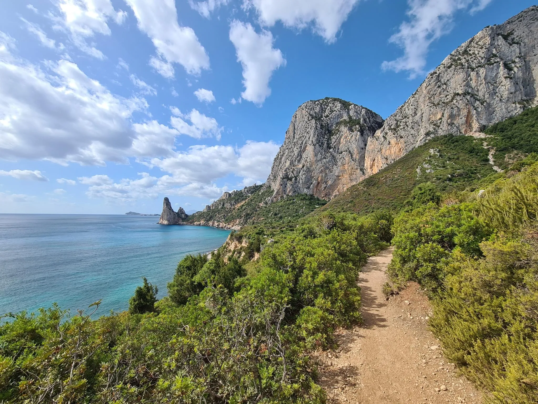
- Another must-see spot is Pedra Longa Rock Formation, a prominent natural monument along the east coast. This site is known for its impressive coastal views and marks the gateway to the Selvaggio Blu trail.
- Visitors also love Cala Luna, a beach with light sand, turquoise water, and numerous small caves. It is accessible by foot or boat and offers a unique coastal experience.
- Gennargentu National Park is known for its variety of natural monuments, including canyons, summits, and beaches. Visitors can explore over 100 natural monuments, showcasing the region's diverse geological features and landscapes.
- The natural monuments around Gennargentu National Park are appreciated by the komoot community, with over 1200 upvotes and nearly 1000 photos shared across its many highlights.
Last updated: June 26, 2026
Gorropu Gorge
Highlight • Canyon
Translated by Google •
Tip by

Summit of Punta La Marmora
Highlight • Summit
Ideally, start your tour in the parking area at Rifugio Sa Crista or Rifugio S’Arena near Desulo. The route is not short at 15.5 kilometers, but it rewards you with an incredible variety of landscapes. Within a walking time of three and a half to four and a half hours, you will cross picturesque forests, pass flowering meadows and hike across impressive boulder and craggy terrain. Among other things, it goes over the summits of Bruncu Spina and Punta Paulinu.
As you climb from Bruncu Spina towards Punta La Marmora, a huge summit cross might lead you astray. But don't be fooled, because the true summit is only reached when you reach the small rock pyramid that marks the top of La Marmora.
The peak itself was named after the general and scientist Alberto Ferrero della Marmora, who described Sardinia in detail in his works. His love for the island will become clear to you at the summit when you enjoy the breathtaking view.
You should be well prepared for this hike. This means: Sturdy hiking boots, enough water and sun protection should be in your luggage. If you need refreshment in between, you can stop off in the towns of Desulo or Fonni.
The months from June to September are ideal for the tour. But Punta La Marmora is actually a year-round hiking destination for everyone who is looking for something special. Ready for this adventure? Then lace up your hiking boots and experience Sardinia at its best!
Translated by Google •
Tip by

Sign up now to discover places like this
Get recommendations on the best single tracks, peaks, & plenty of other exciting outdoor places.
Sign up for free
Cala Luna
Highlight • Beach
The beauty of this bay is beyond compare. Here you can find shelter in the shade of one of the numerous caves or immerse yourself in the crystal clear waters, a true treasure of Sardinia. At the end of the bay, an oasis invites you to stop for a snack in the kiosk or for a picnic. Also watch out for bold goats grazing on the steep slopes!
If the walk back seems too challenging, you can always take a boat back to Cala Gonone or Cala Fuili.
Translated by Google •
Tip by

Pedra Longa Rock Formation
Highlight (Segment) • Natural Monument
Translated by Google •
Tip by

Wooden steps to Cala Goloritzé Beach
Highlight • Trail
Translated by Google •
Tip by

Sign up for free to discover even more natural monuments around Gennargentu National Park.
Sign up for free
Already have an account?
Start today with a free account
Your next adventure awaits.
Login or Signup
Popular around Gennargentu National Park
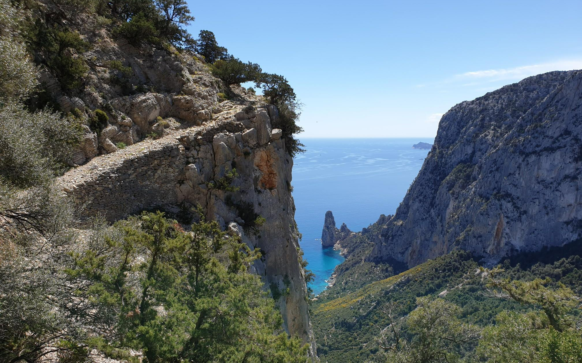
Wild Blue - an adventure overlooking the sea
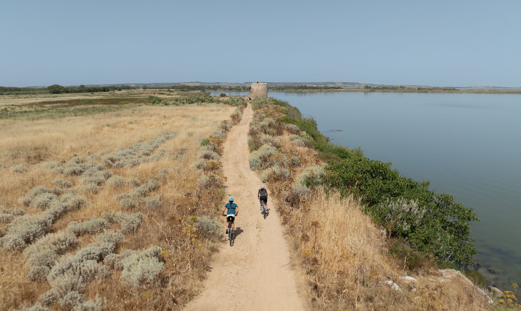
Discover wild Sardinia – 10 superb MTB Tours
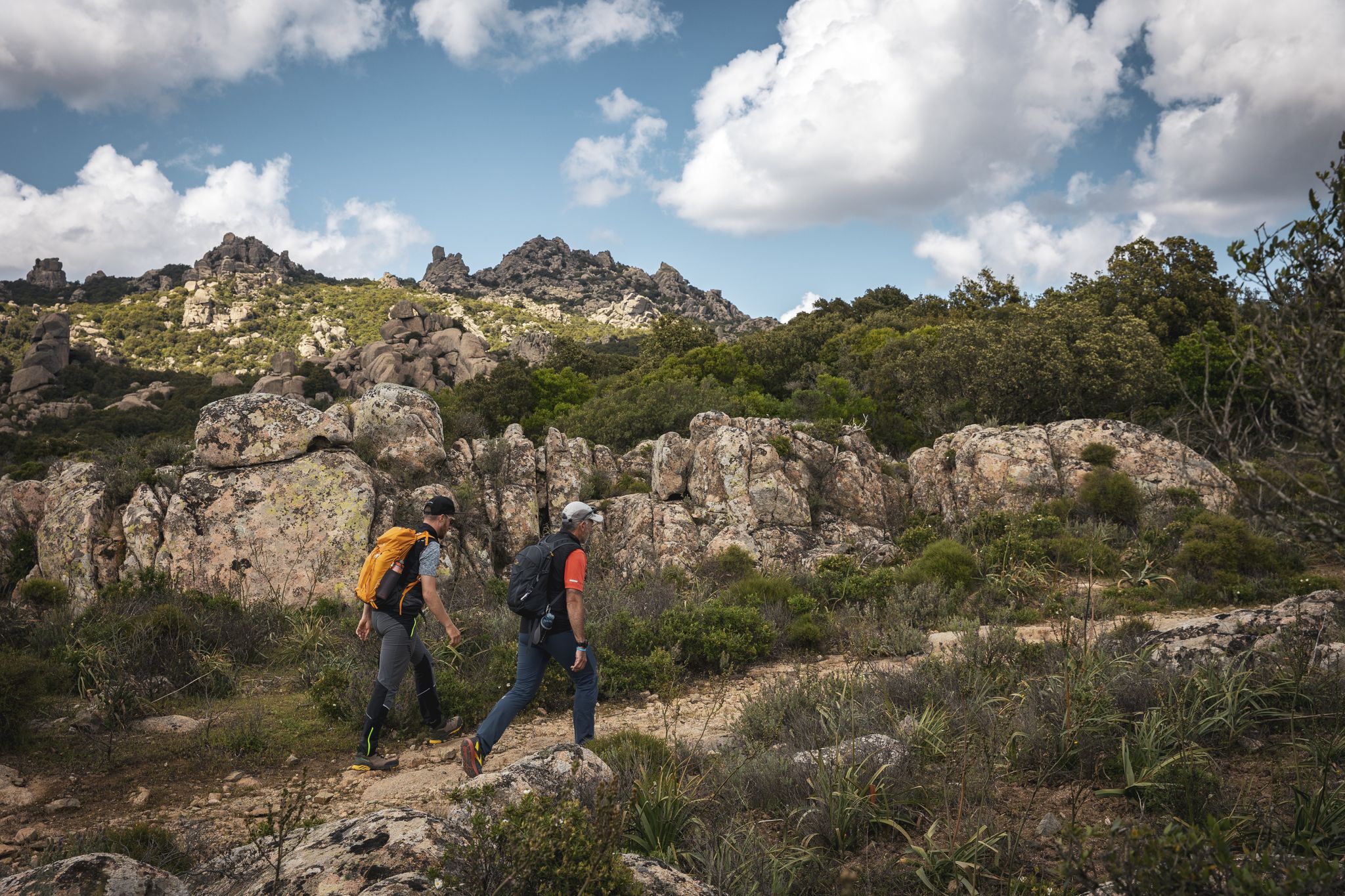
Eternal Sardinia – walks among the wonders of the hinterland
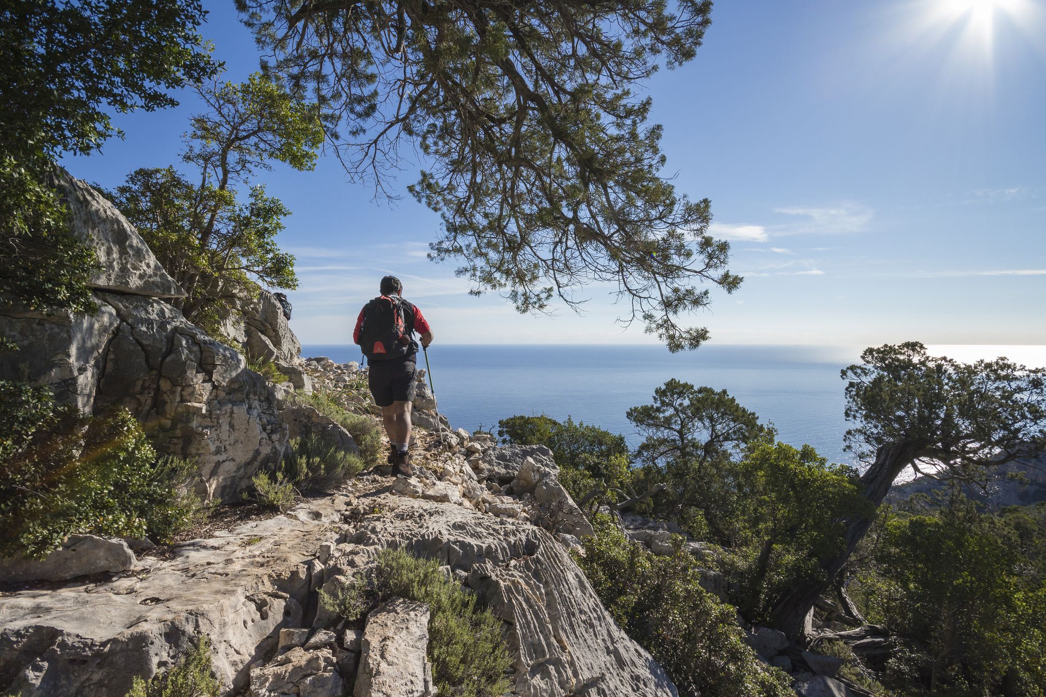
Magnificent Sardinia – day hikes overlooking the sea
Discover Sardinia on the Via Ogliastra – Cammino 100 Torri
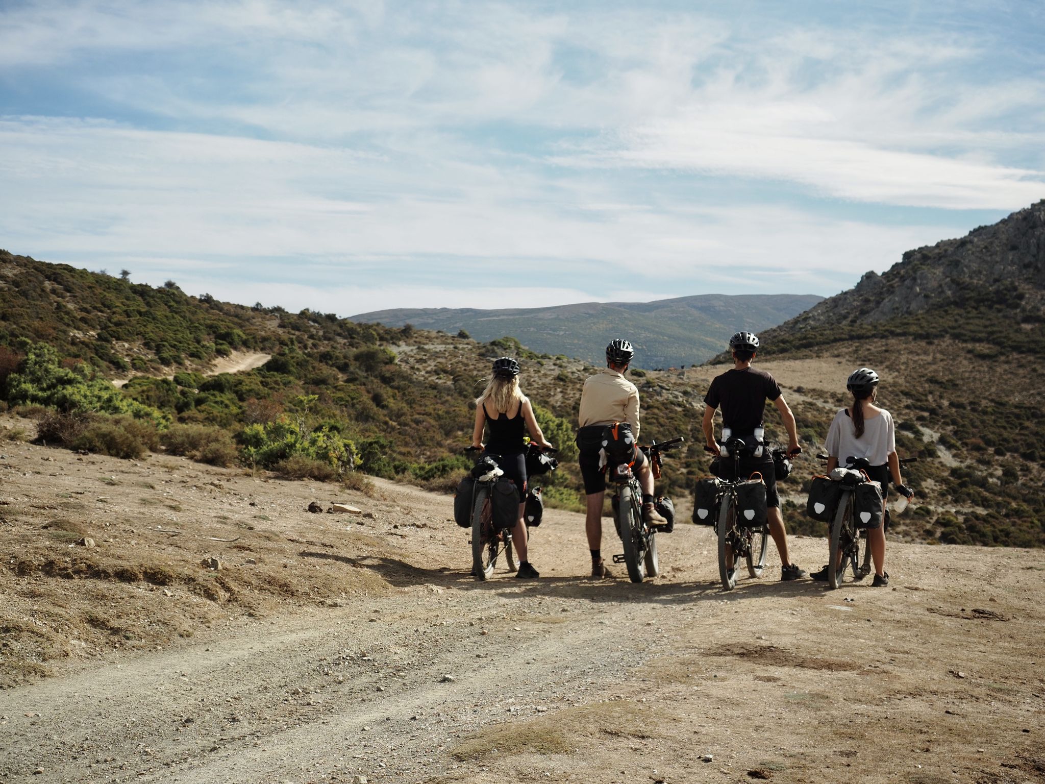
Bikepacking the TranSardinia – the quiet Italian island life
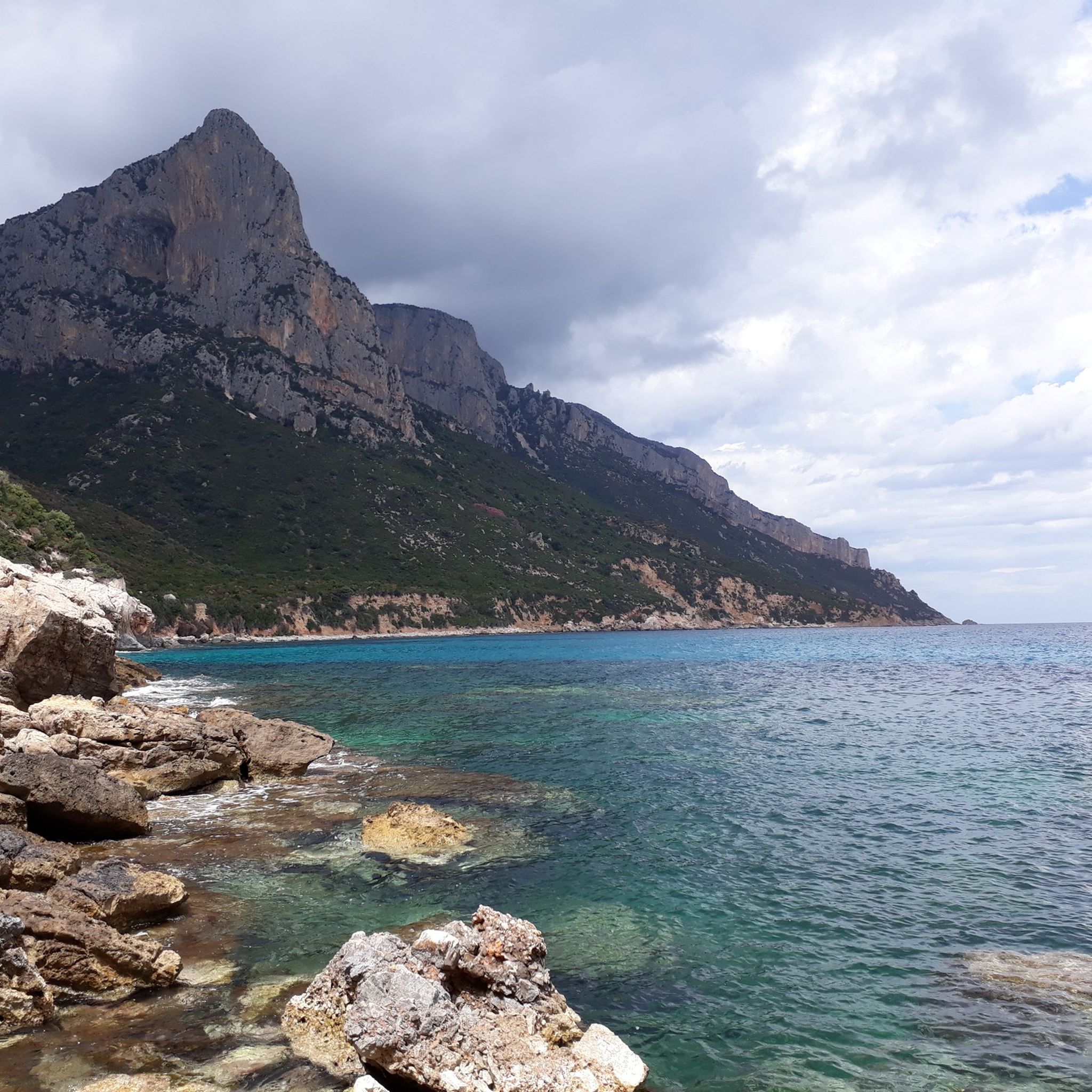
Hiking around Gennargentu National Park
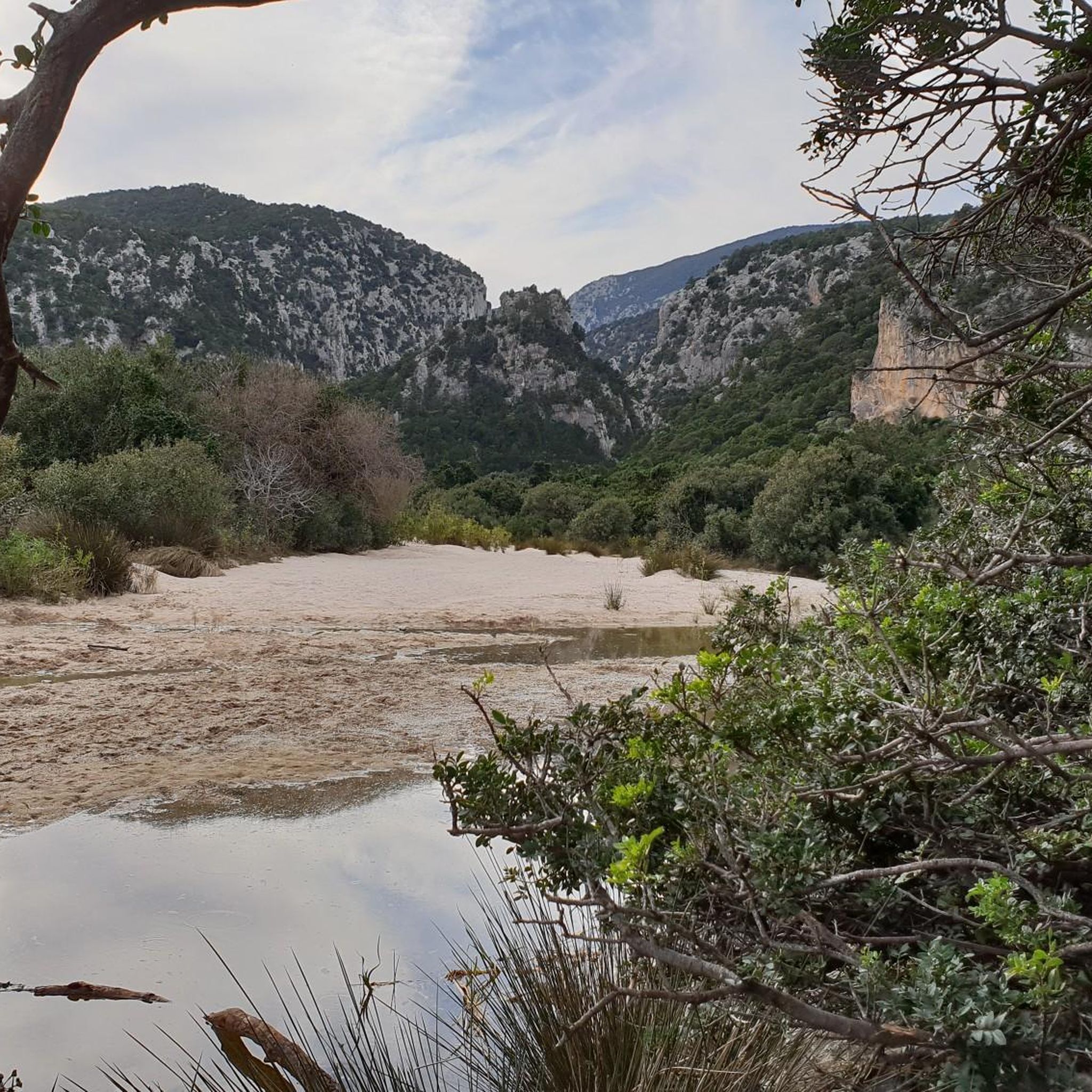
Running Trails around Gennargentu National Park
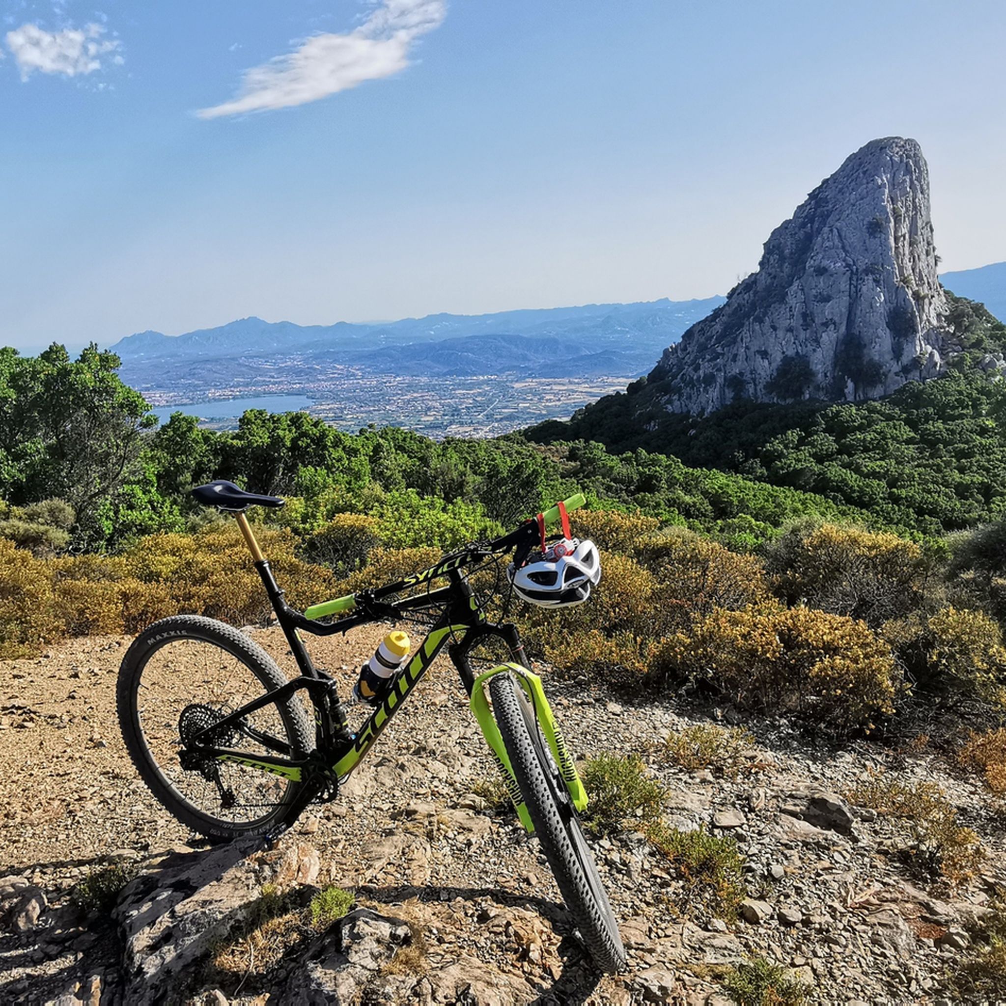
MTB Trails around Gennargentu National Park
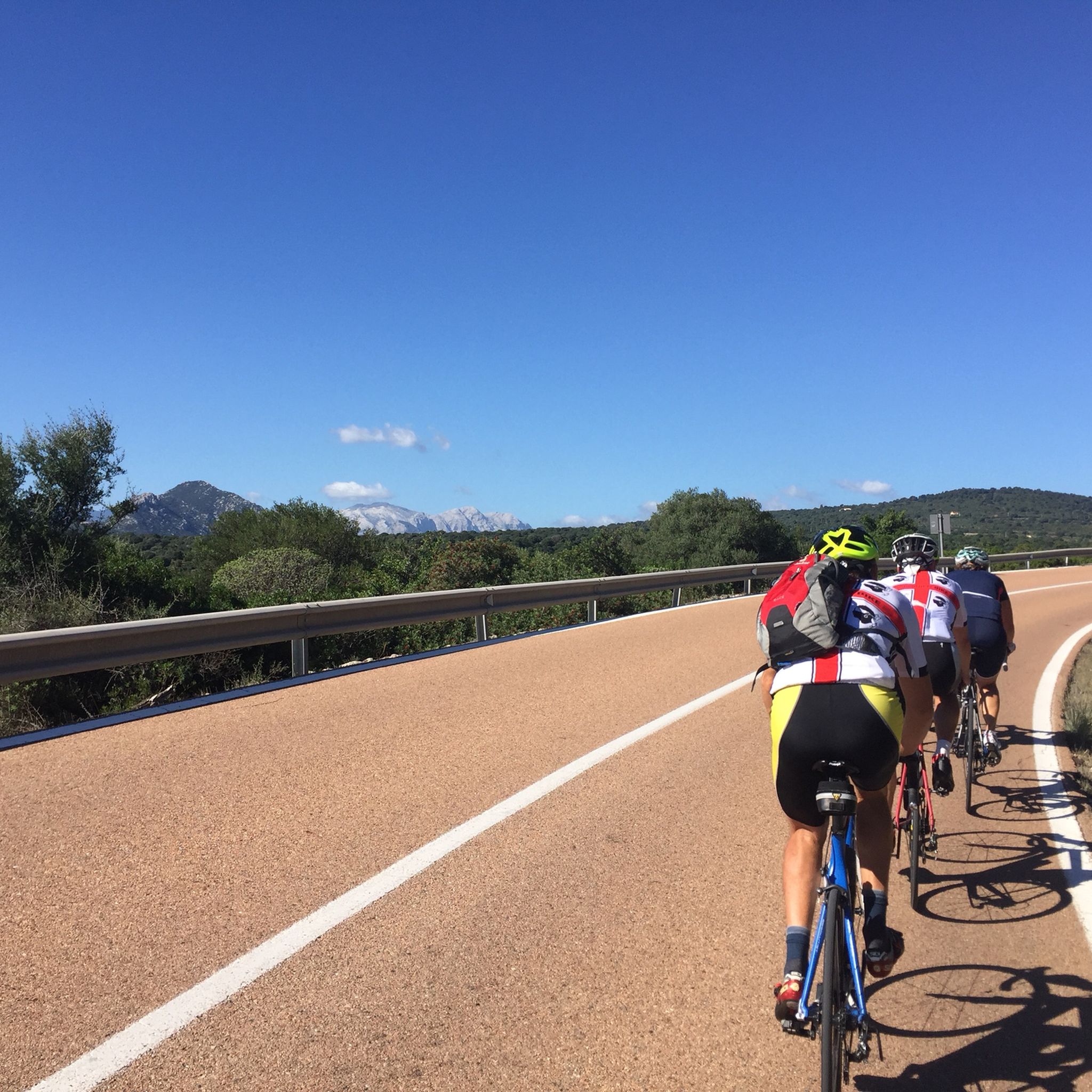
Road Cycling Routes around Gennargentu National Park
Other adventures around Gennargentu National Park


Tips from the Community

Done, goal reached, all effort forgotten, now a nice swim in the crystal clear water.
2
0

Cala Luna is an enchanting bay and an estuary very frequented by summer maritime traffic. It is absolutely worth a visit, as it represents a true pearl of the Mediterranean with its light sand, turquoise water, numerous small caves and almost white rocks. It can be reached either on foot or by boat. The beauty of this bay is beyond compare. Here you can find shelter in the shade of one of the numerous caves or immerse yourself in the crystal clear waters, a true treasure of Sardinia. At the end of the bay, an oasis invites you to stop for a snack in the kiosk or for a picnic. Also watch out for bold goats grazing on the steep slopes! If the walk back seems too challenging, you can always take a boat back to Cala Gonone or Cala Fuili.
4
11

With an all-mountain mountain bike you can do almost everything on the bike, both uphill and downhill
1
0

Already above this rustic construction you have a breathtaking view of the untouched beauty of the beach. But caution is advised! The stairs, although revised in 2023, require your full attention. Your steps are high and the railing does not provide stable support everywhere. If you're one of those people who gets uneasy at heights, close your eyes for a moment and concentrate on each step. Or let the fascinating view take effect and forget for a moment the adrenaline rush that the steep steps offer you. For those who love thrills and want to fully enjoy the pure beauty of nature, there is a little detour: Punta Salinas. This path takes longer, but rewards you with an even more impressive panoramic view of the bay. Hold on tight and enjoy every moment of this little adventure. This makeshift staircase may not be the most convenient access to the bay, but that's what gives this place its rustic charm. It feels like you are discovering a hidden treasure that is only accessible to the bravest. And as you carefully take each step, you realize how special this place is - a piece of untouched paradise just waiting to be explored.
2
0
Imagine standing on the highest point in Sardinia, Punta La Marmora, and your gaze sweeps over the entire island. On a clear day you can even see the silhouettes of Corsica on the horizon. You can put this experience into practice by hiking to the summit of this 1,834 meter high elevation. Ideally, start your tour in the parking area at Rifugio Sa Crista or Rifugio S’Arena near Desulo. The route is not short at 15.5 kilometers, but it rewards you with an incredible variety of landscapes. Within a walking time of three and a half to four and a half hours, you will cross picturesque forests, pass flowering meadows and hike across impressive boulder and craggy terrain. Among other things, it goes over the summits of Bruncu Spina and Punta Paulinu. As you climb from Bruncu Spina towards Punta La Marmora, a huge summit cross might lead you astray. But don't be fooled, because the true summit is only reached when you reach the small rock pyramid that marks the top of La Marmora. The peak itself was named after the general and scientist Alberto Ferrero della Marmora, who described Sardinia in detail in his works. His love for the island will become clear to you at the summit when you enjoy the breathtaking view. You should be well prepared for this hike. This means: Sturdy hiking boots, enough water and sun protection should be in your luggage. If you need refreshment in between, you can stop off in the towns of Desulo or Fonni. The months from June to September are ideal for the tour. But Punta La Marmora is actually a year-round hiking destination for everyone who is looking for something special. Ready for this adventure? Then lace up your hiking boots and experience Sardinia at its best!
5
2

Climbing to Punta La Marmora from Bruncu Spina you first reach the pre-summit, which is misleading with its enormous summit cross. To reach the highest peak in Sardinia, you need to continue further south until you reach a small rock pyramid. This marks La Marmora's peak share of 1,833.
3
2
Punta La Marmora, which rises 1,834 meters above sea level, is the highest peak in Sardinia. It is located in the Gennargentu massif. A cross crowns the top of this magnificent place. Running up here isn't difficult, except for some occasionally steep sections. It's not very technical; you just have to be fit. The breathtaking views make it truly extraordinary. You can see up to the lake of the upper Flumendosa, Perda Liana and Arbatax, if the fog allows it, and on the other side you can range up to Oristano. It's incredible.
1
0

The wooden staircase was revised in 2023, but attention should be paid to the staircase and not to the view.
2
1
Frequently Asked Questions
What are some of the most popular natural monuments to visit in Gennargentu National Park?
Gennargentu National Park is home to many stunning natural monuments. Among the most popular are Gorropu Gorge, known as one of Europe's deepest canyons, and the Summit of Punta La Marmora, Sardinia's highest peak offering panoramic views. The coastal areas also feature gems like Cala Luna, a beautiful beach with caves, and the iconic Pedra Longa Rock Formation.
What kind of outdoor activities can I do near the natural monuments in Gennargentu National Park?
The area around Gennargentu National Park offers a wide range of outdoor activities. You can explore challenging mountain hikes, such as those leading to the Summit of Punta La Marmora, or embark on cycling tours. For specific routes, you can find options like 'Mountaineering loop from Cala Goloritzè' or 'Genna Silana Pass – Gorropu Gorge loop' in the Mountain Hikes around Gennargentu National Park guide. There are also various cycling routes available in the Cycling around Gennargentu National Park guide and the Road Cycling Routes around Gennargentu National Park guide.
Are there family-friendly natural monuments or trails in Gennargentu National Park?
While many trails in Gennargentu National Park can be challenging, some natural monuments offer more accessible experiences. For instance, the serene Arzana's Waterfalls are accessible via scenic trails through lush forests, providing a peaceful retreat suitable for families. When planning, look for trails marked as 'easy' or 'intermediate' and always check specific route details for suitability with children.
What is the best time of year to visit Gennargentu National Park for hiking and exploring its natural monuments?
The months from June to September are generally ideal for visiting Gennargentu National Park, especially for hiking to places like the Summit of Punta La Marmora. However, the park is a year-round destination for those seeking adventure. Spring (April-May) offers lush greenery and pleasant temperatures, while autumn (October-November) provides cooler weather and beautiful foliage, though some water features might be less prominent.
What are the geological highlights of Gennargentu National Park?
Gennargentu National Park is a geological marvel. Key features include the dramatic Gorropu Gorge, one of Europe's deepest canyons carved by water erosion. The park also boasts the impressive Pedra Longa Rock Formation along the coast, and Su Gologone, Sardinia's largest karst spring known for its powerful water flow and unique rock formations. The region also features extensive cave and cavern systems, some with underwater sections.
Are there any natural monuments in Gennargentu National Park that offer spectacular viewpoints?
Absolutely. The Summit of Punta La Marmora, as the highest point in Sardinia, provides breathtaking panoramic views across the entire island, and on clear days, even Corsica. The Pedra Longa Rock Formation also offers impressive coastal vistas. Additionally, the Wooden steps to Cala Goloritzé Beach offer a great view of the beautiful beach below.
What should I know about accessing Gorropu Gorge, including fees and permits?
Accessing Gorropu Gorge typically involves an entrance fee, which is around 5€. Visitors receive instructions on how to navigate the gorge and learn about its natural significance. There are three difficulty sections (green, yellow, red), with the red section requiring alpine equipment. It's advisable to check current operating hours and any specific permit requirements before your visit, especially during peak season.
Can I bring my dog to the natural monuments and trails in Gennargentu National Park?
While Gennargentu National Park is a natural area, specific rules regarding dogs can vary by monument and trail. It's generally recommended to keep dogs on a leash to protect wildlife and ensure the safety of other visitors. For specific natural monuments like Gorropu Gorge or Cala Luna, it's best to check local regulations or signage upon arrival, as some protected areas might have restrictions.
Are there any hidden natural gems or less-known spots in Gennargentu National Park worth exploring?
Beyond the well-known sites, Gennargentu National Park holds many hidden treasures. The Piricanis Gorges offer an immersive experience into the region's dramatic geological formations, accessible via hiking trails where you can observe rich biodiversity. The Arzana's Waterfalls are another serene and less-frequented spot, perfect for contemplation and photography amidst lush forests.
What are the typical trail lengths and difficulties for hikes to natural monuments in Gennargentu National Park?
Trail lengths and difficulties vary significantly. For example, the hike to the Summit of Punta La Marmora is about 15.5 kilometers and considered challenging, taking 3.5 to 4.5 hours. The path to Cala Luna can be around 10 km and strenuous in heat. Many trails, like those to Gorropu Gorge, are rated intermediate to challenging. Always check specific route details and prepare with sturdy boots, sufficient water, and sun protection.
Where can I find accommodation or places to eat near Gennargentu National Park's natural monuments?
Several towns bordering Gennargentu National Park offer accommodation and dining options. Desulo and Fonni are good choices if you're exploring the central mountainous areas, such as after a hike to Punta La Marmora. For coastal attractions like Cala Luna or Pedra Longa Rock Formation, towns like Cala Gonone or Santa Maria Navarrese provide various amenities, including cafes, pubs, and restaurants.
Most popular routes around Gennargentu National Park
Most popular attractions around Gennargentu National Park

Get inspired with the komoot mobile app


Explore more
Extend your search for the best caves by checking out these guides of the top ones around Gennargentu National Park:
