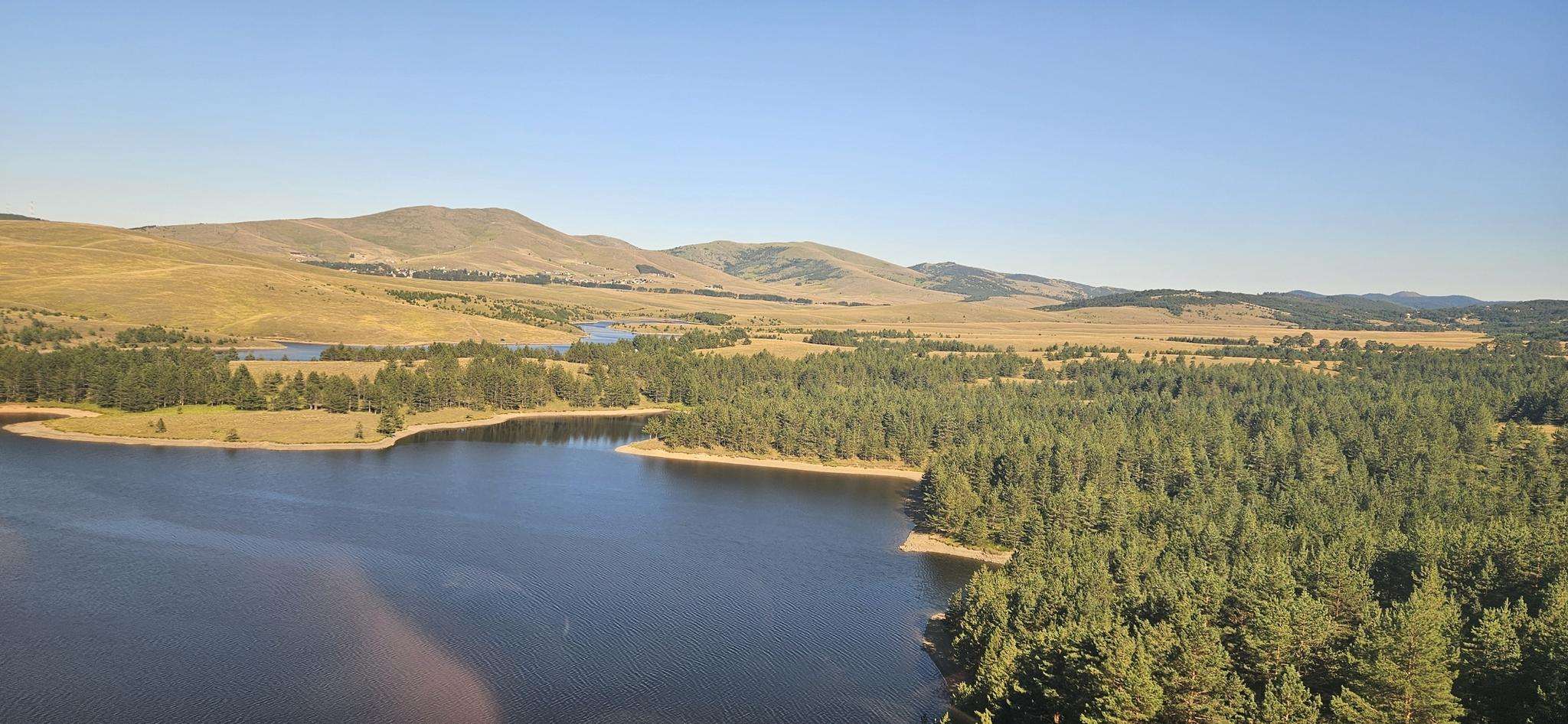
The best running trails around Рибничко језеро
5.0
(2)
39
runners
12
runs
Jogging routes around Рибничко језеро offer varied terrain for runners. The region features a mix of forested areas and open landscapes, with routes that include both gentle gradients and more challenging ascents. The elevation changes provide opportunities for different levels of running intensity.
Best jogging routes around Рибничко језеро
- The most popular jogging route is Бандера – Равни Торник loop from 3 Krnevo plandište, a 13.9 miles (22.3 km) trail that takes about 3 hours 11 minutes to complete.…
Last updated: July 4, 2026
5.0
(2)
3
runners
22.4km
03:12
1,050m
1,050m
Hard run. Very good fitness required. Mostly paved surfaces. Suitable for all skill levels.
6
runners
6.75km
00:44
120m
120m
Moderate run. Good fitness required. Mostly paved surfaces. Suitable for all skill levels.

Sign up for free
4
runners
8.85km
01:03
240m
240m
Moderate run. Good fitness required. Mostly paved surfaces. Suitable for all skill levels.
12
runners
13.0km
01:33
440m
440m
Hard run. Very good fitness required. Mostly paved surfaces. Suitable for all skill levels.
3
runners
8.55km
00:55
120m
120m
Moderate run. Good fitness required. Mostly paved surfaces. Suitable for all skill levels.
Get access to more routes and recommendations from other explorers.
Sign up for free
Already have an account?
Our route recommendations are based on thousands of hikes, rides, and runs completed by other people on komoot.
Start today with a free account
Your next adventure awaits.
Login or Signup
Popular around Рибничко језеро
Frequently Asked Questions
How many running routes are available around Рибничко језеро?
There are 13 dedicated running routes around Рибничко језеро. These routes offer a variety of experiences, from moderate to difficult, catering to different fitness levels.
Are there any easy jogging routes for beginners around Рибничко језеро?
While there are no routes specifically classified as 'easy' in this guide, many of the moderate routes, such as the Главуџа - Шуматно брдо loop from Cajetina Municipality (4.2 miles / 6.7 km), offer manageable distances and elevation changes that could be suitable for beginners looking for a bit of a challenge.
Are the running trails around Рибничко језеро suitable for families?
The running trails around Рибничко језеро are generally designed for active individuals. While some moderate routes might be suitable for older, active children, there are no specific 'family-friendly' designated routes in this selection. Always check the route's distance and elevation profile to ensure it matches your family's capabilities.
Can I find circular jogging paths in the area?
Yes, many of the running routes around Рибничко језеро are circular loops. For example, the popular Главуџа - Шуматно брдо – Крива бреза loop from Zlatibor is a 5.5-mile (8.8 km) circular trail, offering varied terrain and scenic views.
What is the best season for jogging around Рибничко језеро?
The best seasons for jogging around Рибничко језеро are typically spring and autumn, when the weather is mild and the natural scenery is at its most vibrant. Summer can also be pleasant, especially in the mornings or late afternoons, though some trails might be more exposed to the sun. Winter running is possible but requires appropriate gear for potentially snowy or icy conditions.
Are dogs allowed on the jogging routes?
Generally, dogs are welcome on trails in natural areas around Рибничко језеро, but it's always best to keep them on a leash, especially in areas where wildlife might be present or near livestock. Please ensure you clean up after your pet to maintain the natural beauty of the area.
Where can I find parking for the running trails?
Specific parking information for each trailhead is often available on the individual route pages on komoot. Many routes, particularly those starting from towns or popular access points like Zlatibor or Cajetina Municipality, will have designated parking areas nearby. It's advisable to check the route details before you go.
What kind of terrain can I expect on the running trails?
The running trails around Рибничко језеро feature varied terrain, including forested paths, open hillsides, and areas with significant elevation changes. You'll encounter a mix of natural surfaces, from dirt paths to gravel, providing a diverse and engaging running experience.
Are there any viewpoints or scenic spots along the jogging routes?
While specific viewpoints are not detailed in the route data, the region's mix of forested areas and open landscapes, combined with varied elevation, suggests many trails will offer scenic vistas. Routes like the Главуџа - Шуматно брдо – Чукер loop from Cajetina Municipality, with its significant elevation gain, are likely to provide panoramic views of the surrounding nature.
What do other runners say about jogging in Рибничко језеро?
The running routes around Рибничко језеро are highly rated by the komoot community, with an average score of 5.0 stars. Runners often praise the varied terrain, the natural beauty of the forested paths and open hillsides, and the challenge offered by the elevation changes.
Are there any longer, more challenging running routes for experienced runners?
Yes, experienced runners will find several challenging options. The Бандера – Равни Торник loop from 3 Krnevo plandište is a particularly demanding route, spanning 13.9 miles (22.3 km) with over 1000 meters of elevation gain, making it suitable for those seeking a significant workout.
Can I access these running routes using public transport?
While specific public transport links to every trailhead are not detailed, major towns like Zlatibor and Cajetina Municipality, which serve as starting points for some routes, are generally accessible by public transport. It's recommended to check local bus schedules or regional transport options to plan your journey to the starting points.
Most popular routes around Рибничко језеро

Get inspired with the komoot mobile app


Explore more
Browse the best Running Trails & Routes in other regions.
