The best mountain hikes around Lago di Barcis / Lât di Barcis
4.2
(6)
38
hikers
1
hike
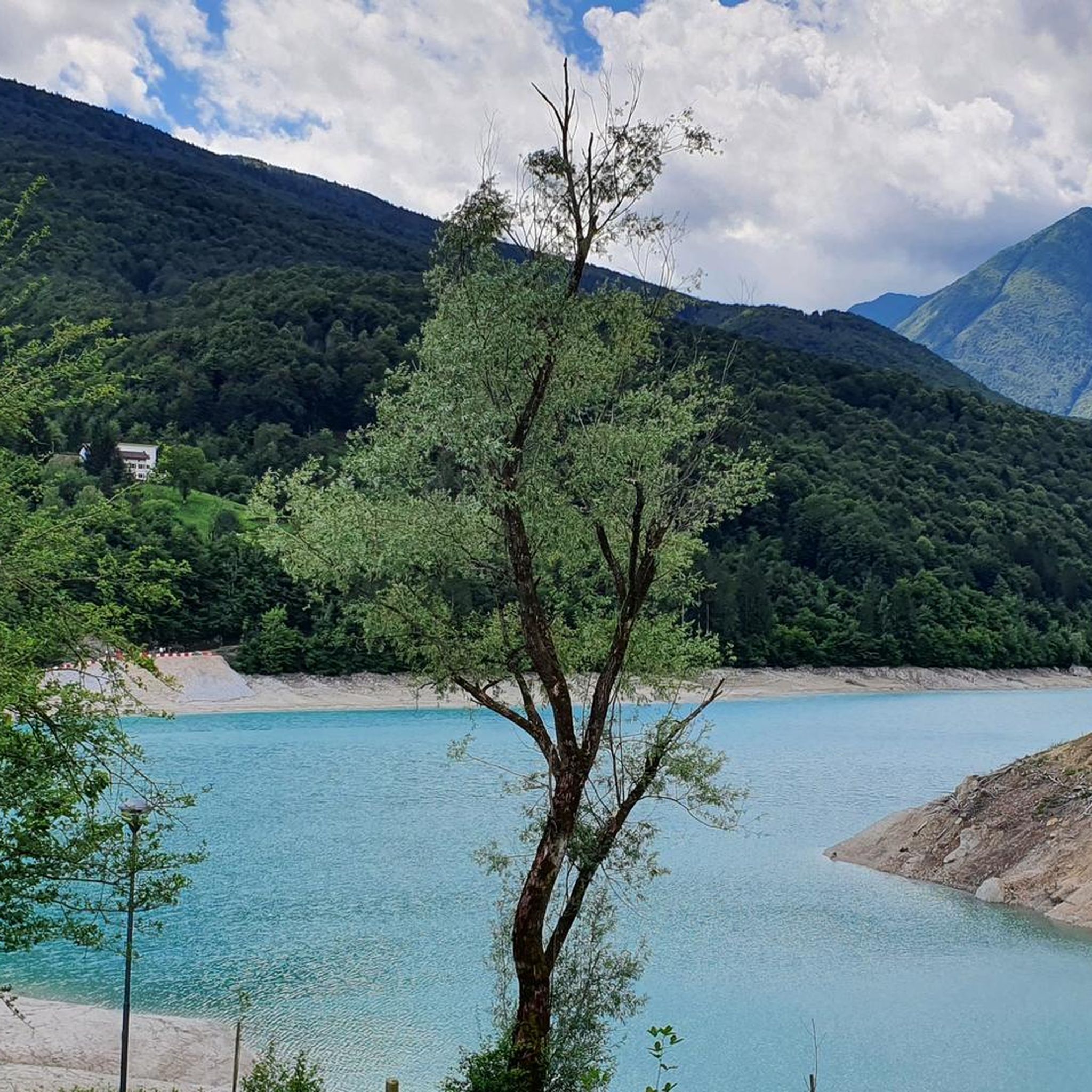
Mountaineering routes around Lago di Barcis / Lât di Barcis traverse a landscape characterized by mountainous terrain, forested slopes, and rocky sections. The region offers varied elevations and views of the lake and surrounding valleys. These routes provide opportunities to explore the natural environment of the Pordenone area.
Best mountaineering routes around Lago di Barcis / Lât di Barcis
- The most popular mountaineering route is Monte Lupo – Forcella Vallata loop from Barcis / Barce, a 4.8 miles (7.7…
Last updated: July 5, 2026
5.0
(1)
1
hikers
7.69km
03:40
620m
620m
Moderate mountaineering route. Good fitness required. Mostly accessible paths. Sure-footedness required.
3.0
(1)
13
hikers
7.98km
06:41
910m
910m
Hard mountaineering route. Very good fitness required. Sure-footedness, sturdy shoes and alpine experience required.

Sign up for free
3.0
(1)
8
hikers
11.8km
04:22
790m
790m
Moderate mountaineering route. Good fitness required. Easily-accessible paths. Suitable for all skill levels.
5.0
(1)
7
hikers
10.1km
05:04
830m
830m
Hard mountaineering route. Very good fitness required. Sure-footedness, sturdy shoes and alpine experience required.
5.0
(2)
9
hikers
6.81km
04:50
970m
970m
Hard mountaineering route. Very good fitness required. Sure-footedness, sturdy shoes and alpine experience required.
Our route recommendations are based on thousands of hikes, rides, and runs completed by other people on komoot.
Start today with a free account
Your next adventure awaits.
Login or Signup
Popular around Lago di Barcis / Lât di Barcis

Tips from the Community


The Rifugio Pradut, at 1,450 m, is open all year round depending on weather conditions, offers typical local cuisine and overnight accommodation for hikers. Excellent starting point for ascents to Cimon del Pradut. For up-to-date information: https://www.facebook.com/angelograva.pradut/
2
0

The little bridge leads to the hamlet of Lesis
0
0

From the top you can enjoy a beautiful view, from a particular perspective on Claut.
0
1

Beautiful refuge, tastefully restored structure. Insane panorama on the valley below. Perfect for a stop or as a base.
2
0

Beautiful via ferrata to get to Cima Manera!
0
0

The Manera peak (or Cimon del Cavallo) with its 2,251 meters of altitude is the highest peak in the Cavallo group. Even from the plain around Pordenone it is clearly distinguishable. From the top you enjoy an incredible panorama of many of the major Dolomite groups. In fact, you can see the altarpieces of San Martino and the Civetta, up to the Julian and Carnic Alps.
2
0
The summit of Mount Messer reaches 2,230 meters above sea level and is surprisingly welcoming as it is covered with grass. To reach the summit you first walk along a grassy slope which does not present particular difficulties, then the path becomes steep and populated by small rocks before climbing up in the last stretch which also becomes exposed.
1
0
Frequently Asked Questions
What are the typical difficulty levels for mountaineering routes around Lago di Barcis?
The mountaineering routes in the Lago di Barcis area cater to various skill levels. You'll find both moderate and difficult options. For instance, the Monte Lupo – Forcella Vallata loop from Barcis / Barce is a moderate route, while the Cima dei Furlani – Cimon del Cavallo loop from Piancavallo / Plancjaval presents a more difficult challenge with significant elevation gain.
Are there any challenging mountaineering routes for experienced climbers?
Yes, experienced mountaineers will find several challenging routes. The Cima dei Furlani – Cimon del Cavallo loop from Piancavallo / Plancjaval is a difficult 5.0-mile (8.0 km) path involving rugged mountain terrain and substantial elevation gain. Another demanding option is the Monte Raut – Forcella Capra loop from Forcella di Pala Barzana, which covers 5.6 miles (9.0 km) through alpine forests and rocky ridges.
What is the typical duration of mountaineering routes in the Lago di Barcis area?
The duration of routes varies depending on their length and difficulty. For example, the moderate Monte Lupo – Forcella Vallata loop from Barcis / Barce typically takes around 3 hours 40 minutes. More challenging routes, like the Monte Raut – Forcella Capra loop from Forcella di Pala Barzana, can take closer to 6 hours to complete.
Are there any circular mountaineering routes around Lago di Barcis?
Yes, many of the mountaineering routes in the area are circular, allowing you to return to your starting point without retracing your steps. Examples include the Monte Lupo – Forcella Vallata loop from Barcis / Barce and the Cima dei Furlani – Cimon del Cavallo loop from Piancavallo / Plancjaval.
When is the best time of year for mountaineering in Lago di Barcis?
The best time for mountaineering in the Lago di Barcis region is generally from late spring to early autumn (May to October). During these months, the weather is typically more stable, and trails are free of snow at lower to mid-altitudes. Always check local weather forecasts before heading out, as conditions can change rapidly in mountainous areas.
Are dogs allowed on the mountaineering routes around Lago di Barcis?
Generally, dogs are welcome on most mountaineering routes in the Lago di Barcis area. However, it's always recommended to keep them on a leash, especially in areas with wildlife or livestock, and to ensure they are well-behaved and physically capable of handling the terrain. Always carry water for your dog and clean up after them.
What can I see along the mountaineering routes around Lago di Barcis?
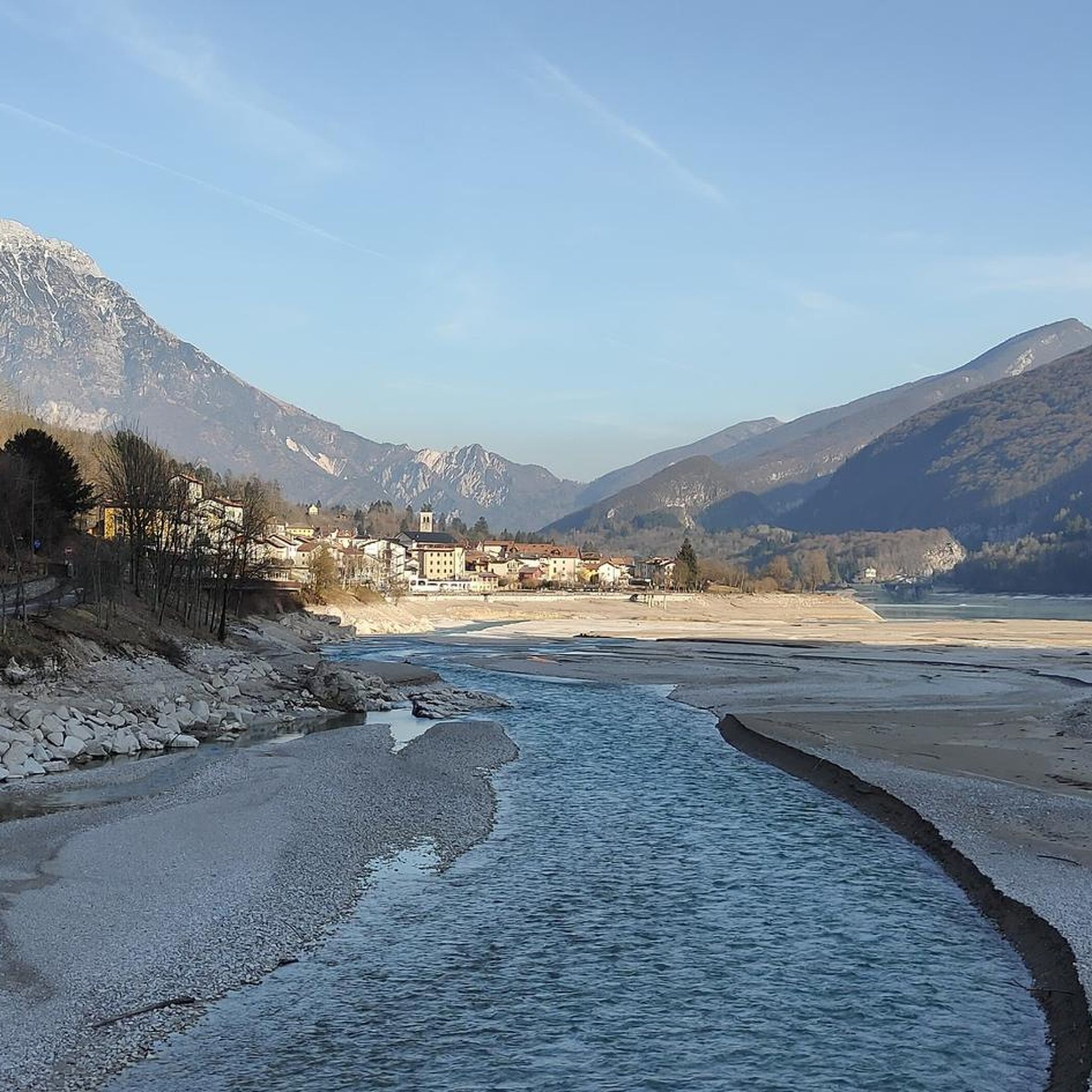
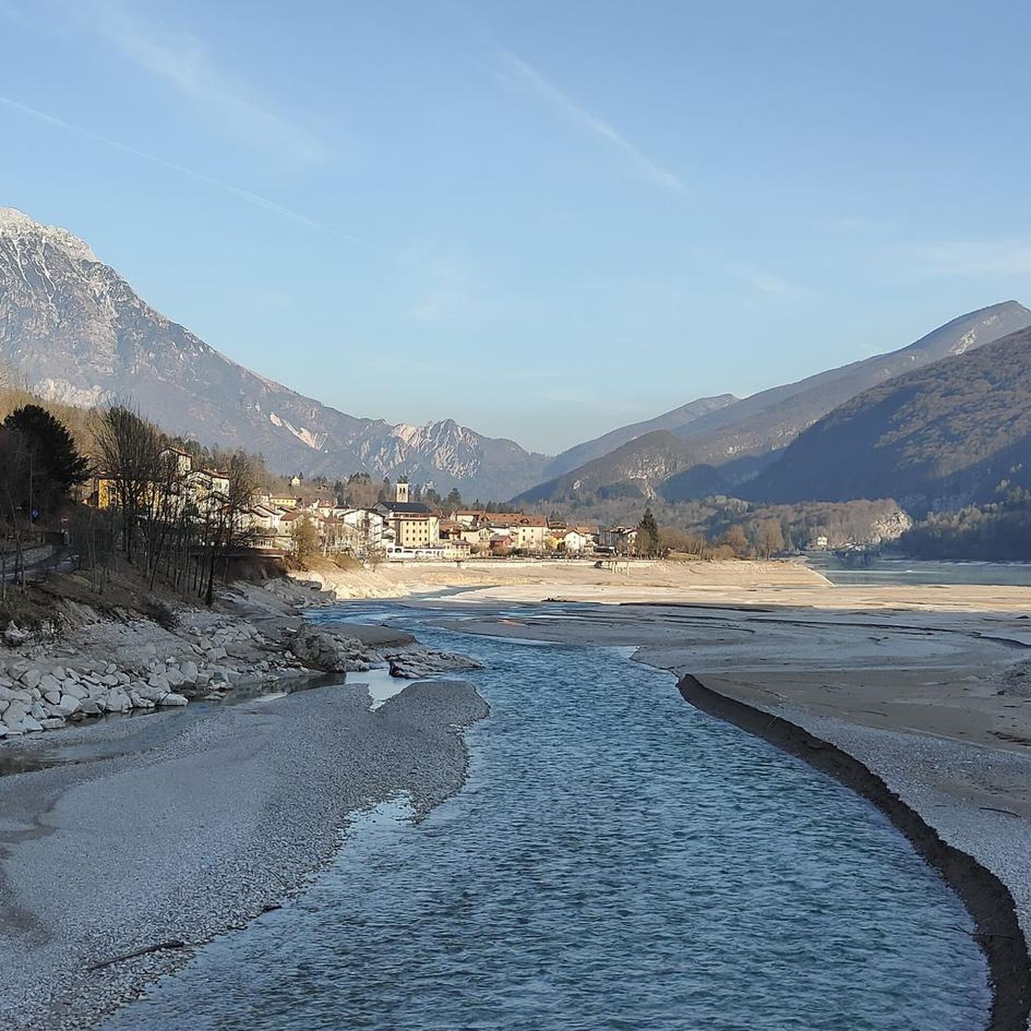
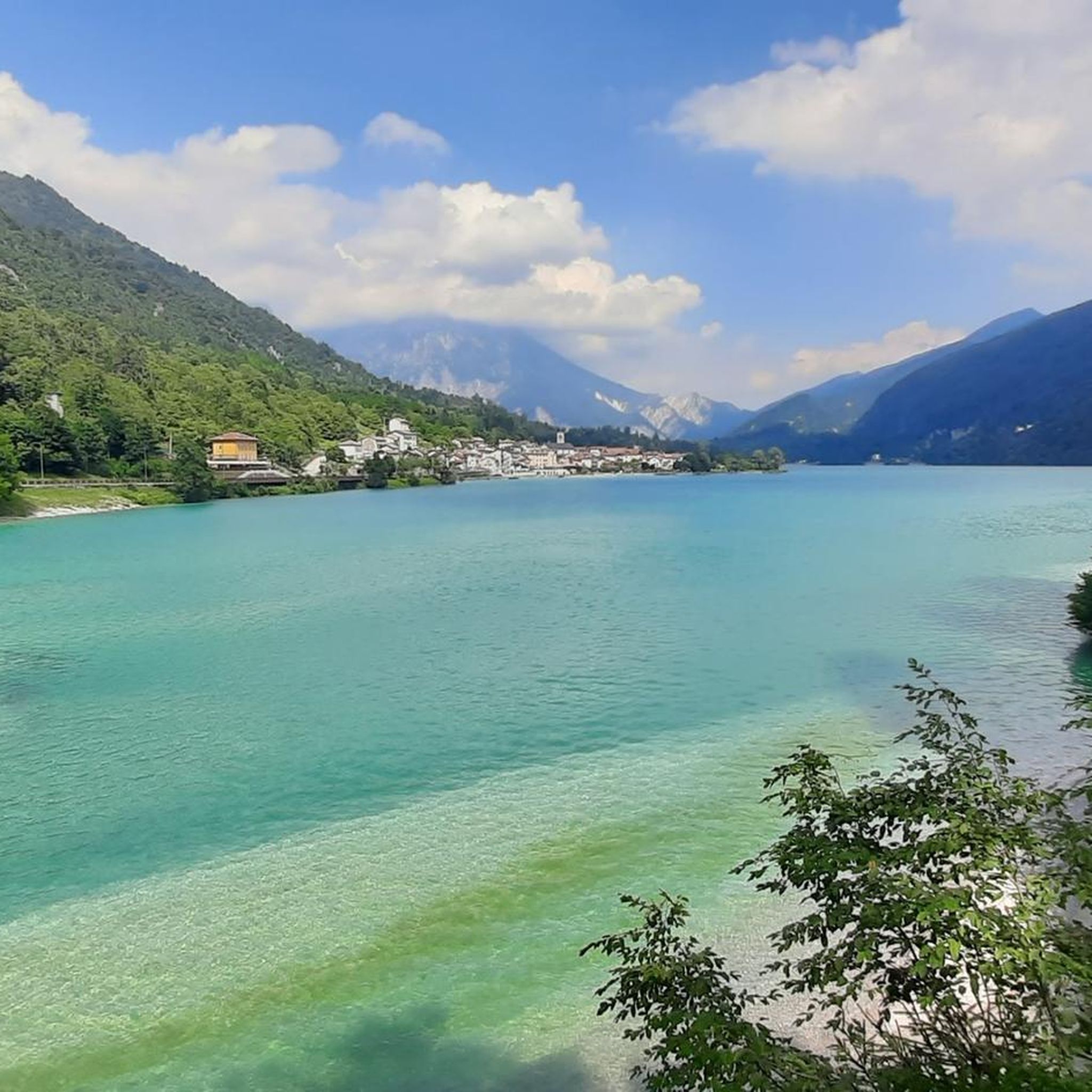
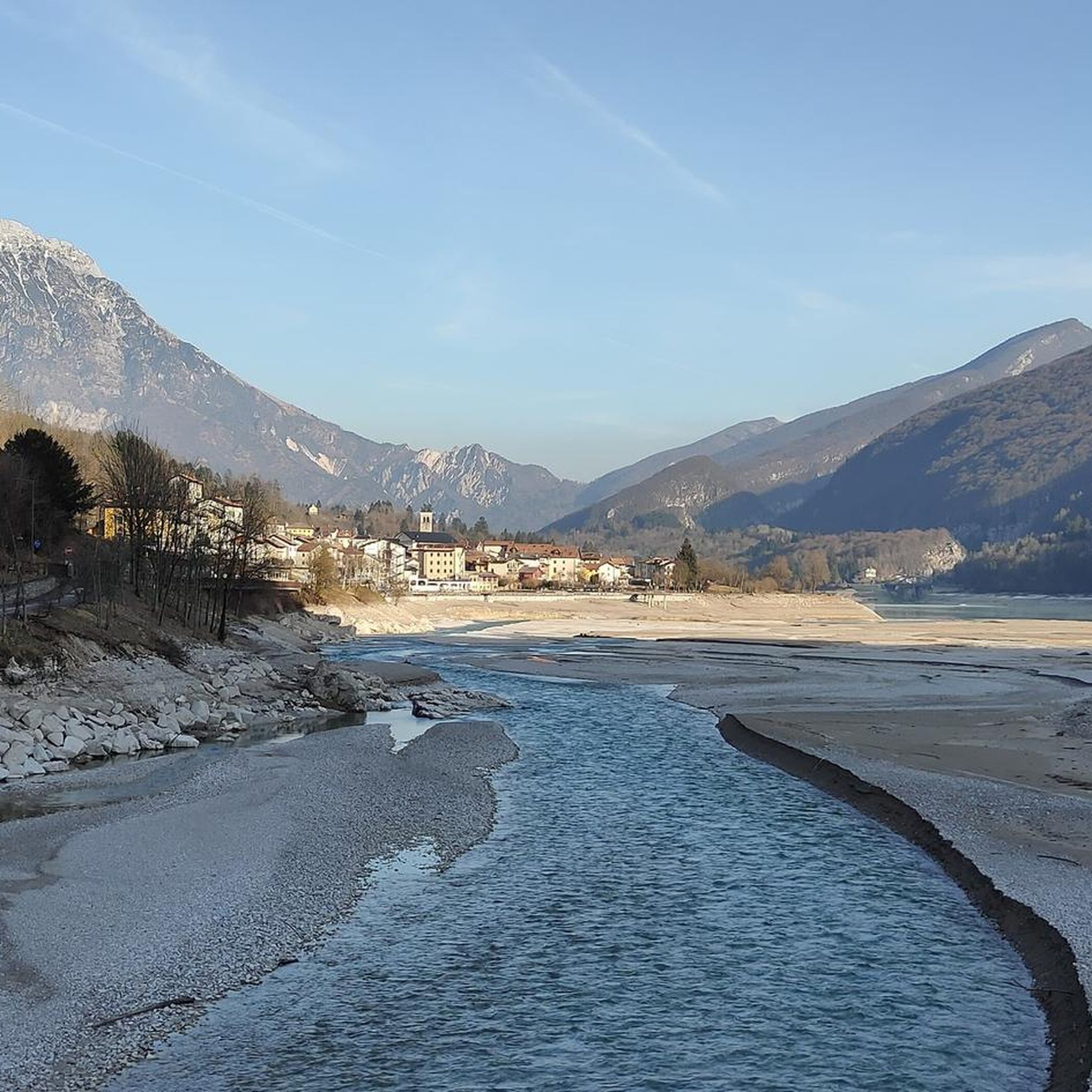
Many routes offer stunning views of the lake and surrounding valleys. You might encounter natural landmarks and points of interest. For example, the area features the beautiful Lake Barcis itself, and the unique Footbridge over Lake Barcis. Some trails, like the Alpini Trail (Barcis), offer historical context and scenic vistas.
Are there any moderate mountaineering routes suitable for those with some experience?
Yes, there are several moderate routes perfect for those with some mountaineering experience. The Monte Lupo – Forcella Vallata loop from Barcis / Barce is a popular moderate option featuring sustained ascents and panoramic views. Another good choice is the Rifugio Pradut loop from Lesis, which is 7.4 miles (11.9 km) long and offers a rewarding experience.
Is winter mountaineering possible around Lago di Barcis?
Winter mountaineering is possible in the Lago di Barcis region, but it requires specialized equipment such as snowshoes, crampons, and ice axes, depending on snow conditions and altitude. Conditions can be challenging, with snow and ice present, especially at higher elevations. It is crucial to have appropriate winter mountaineering experience and to check avalanche forecasts and trail conditions before attempting any winter routes.
What do other mountaineers enjoy most about the routes in Lago di Barcis?
The mountaineering routes around Lago di Barcis are highly rated by the komoot community, with an average score of 4.1 stars. Reviewers often praise the varied terrain, which includes mountainous landscapes, forested slopes, and rocky outcrops, as well as the stunning views of the lake and surrounding valleys. The sense of accomplishment from tackling the challenging ascents is also frequently highlighted.
Are there any hidden gem mountaineering routes or less-trafficked trails?
While the region's main routes are well-known, exploring some of the slightly less frequented paths can offer a more secluded experience. Consider routes that venture deeper into the Valcellina area, or consult local guides for recommendations on trails that might not be as widely publicized. The Cima Val Tremuoia – Cima dei Fager loop from Claut / Cjolt offers a challenging and rewarding experience away from the most popular spots.
Most popular routes around Lago di Barcis / Lât di Barcis
Most popular attractions around Lago di Barcis / Lât di Barcis

Get inspired with the komoot mobile app


Explore more
Browse the best Mountain Hikes & Routes in other regions.
