The best mountain hikes around Lac des Rousses
4.5
(2)
62
hikers
11
hikes
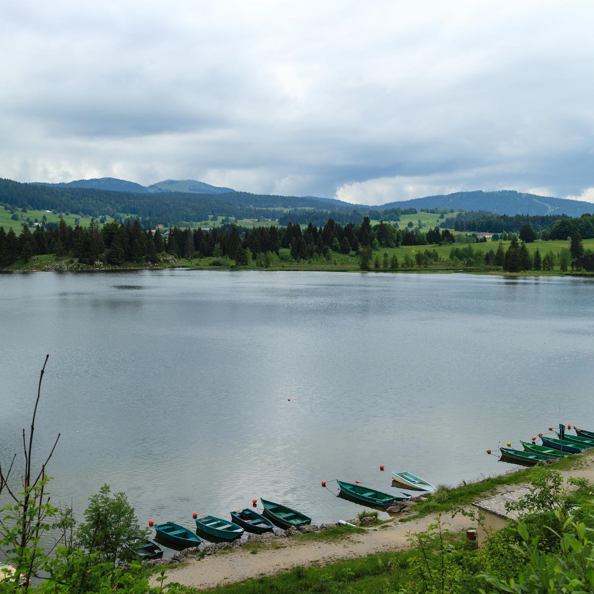
Mountaineering around Lac des Rousses offers routes through the Jura mountains, characterized by forested slopes, mountain passes, and open summits. The region provides a diverse landscape for mountaineers, with trails ascending to prominent peaks and traversing scenic cols. These routes often feature varied terrain, from well-defined paths to more challenging ascents.
Best mountaineering routes around Lac des Rousses
- The most popular mountaineering route is Mont Sâla Summit – Creux du Croue loop from Bois-d'Amont, a 10.8 miles (17.3 km)…
Last updated: July 3, 2026
4.0
(1)
4
hikers
17.3km
05:57
740m
740m
Hard mountaineering route. Very good fitness required. Mostly accessible paths. Sure-footedness required.
5
hikers
9.72km
03:17
410m
410m
Moderate mountaineering route. Good fitness required. Mostly accessible paths. Sure-footedness required.

Sign up for free
10
hikers
15.4km
05:07
670m
670m
Hard mountaineering route. Very good fitness required. Mostly accessible paths. Sure-footedness required.
8
hikers
5.97km
02:20
430m
430m
Moderate mountaineering route. Good fitness required. Easily-accessible paths. Suitable for all skill levels.
3
hikers
6.46km
02:22
350m
350m
Moderate mountaineering route. Good fitness required. Mostly accessible paths. Sure-footedness required.
Get access to more routes and recommendations from other explorers.
Sign up for free
Already have an account?
Our route recommendations are based on thousands of hikes, rides, and runs completed by other people on komoot.
Start today with a free account
Your next adventure awaits.
Login or Signup

Tips from the Community

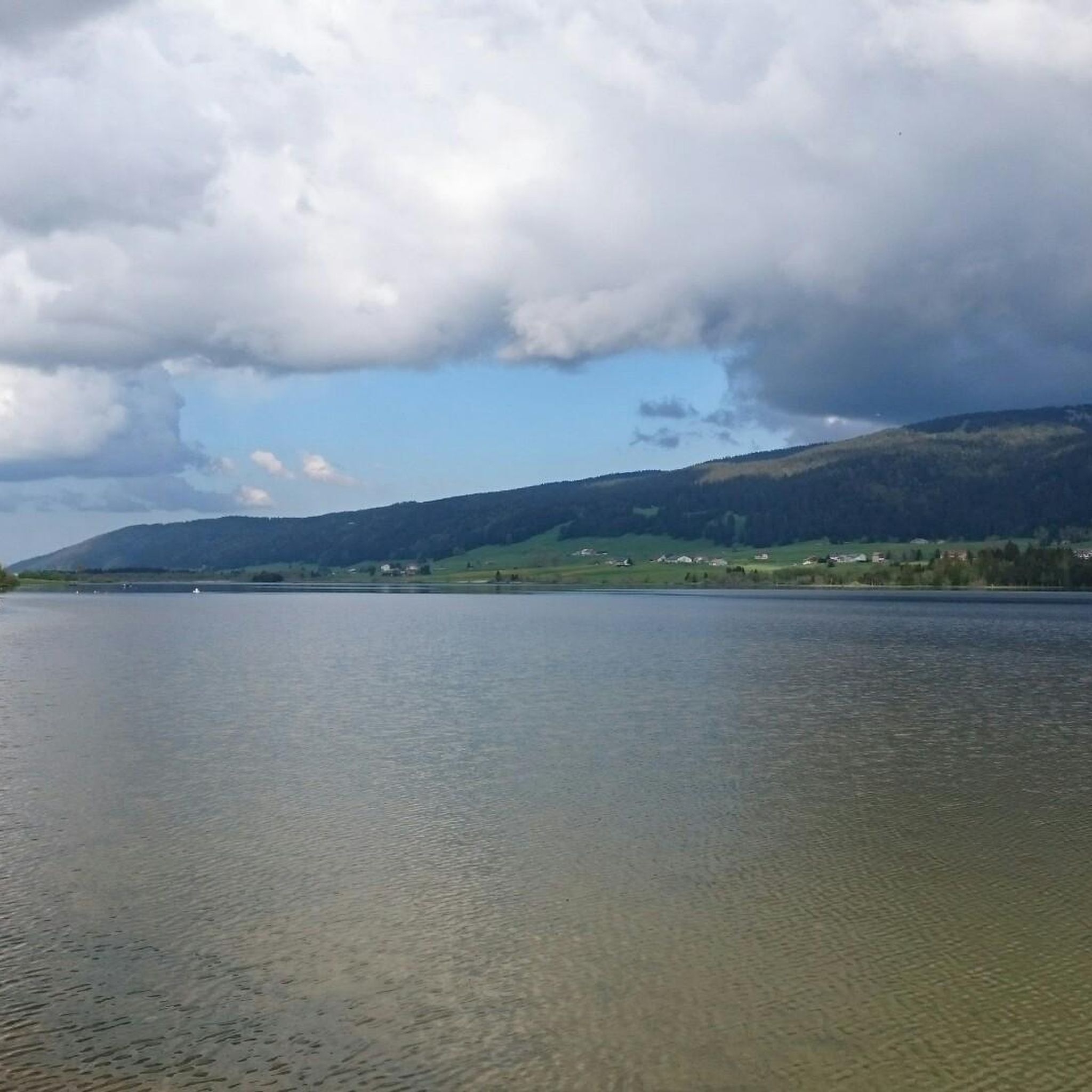
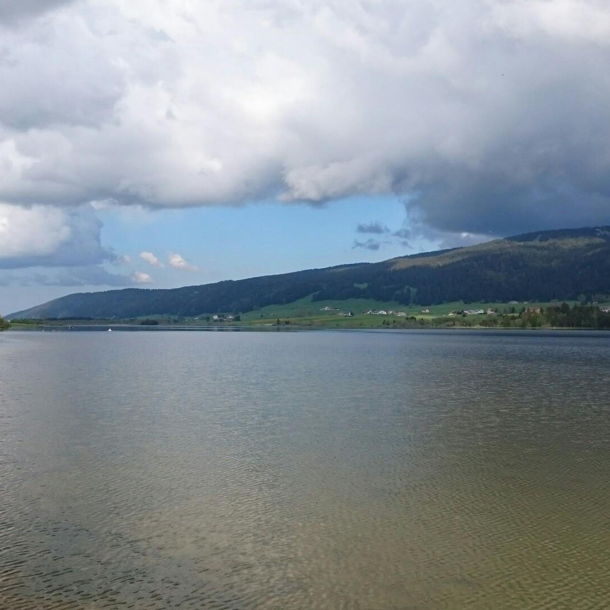
Summit in the Swiss Jura at 1546m Beautiful view of Lac des Rousses. On a clear day, view of Lake Geneva and the Alps.
0
0

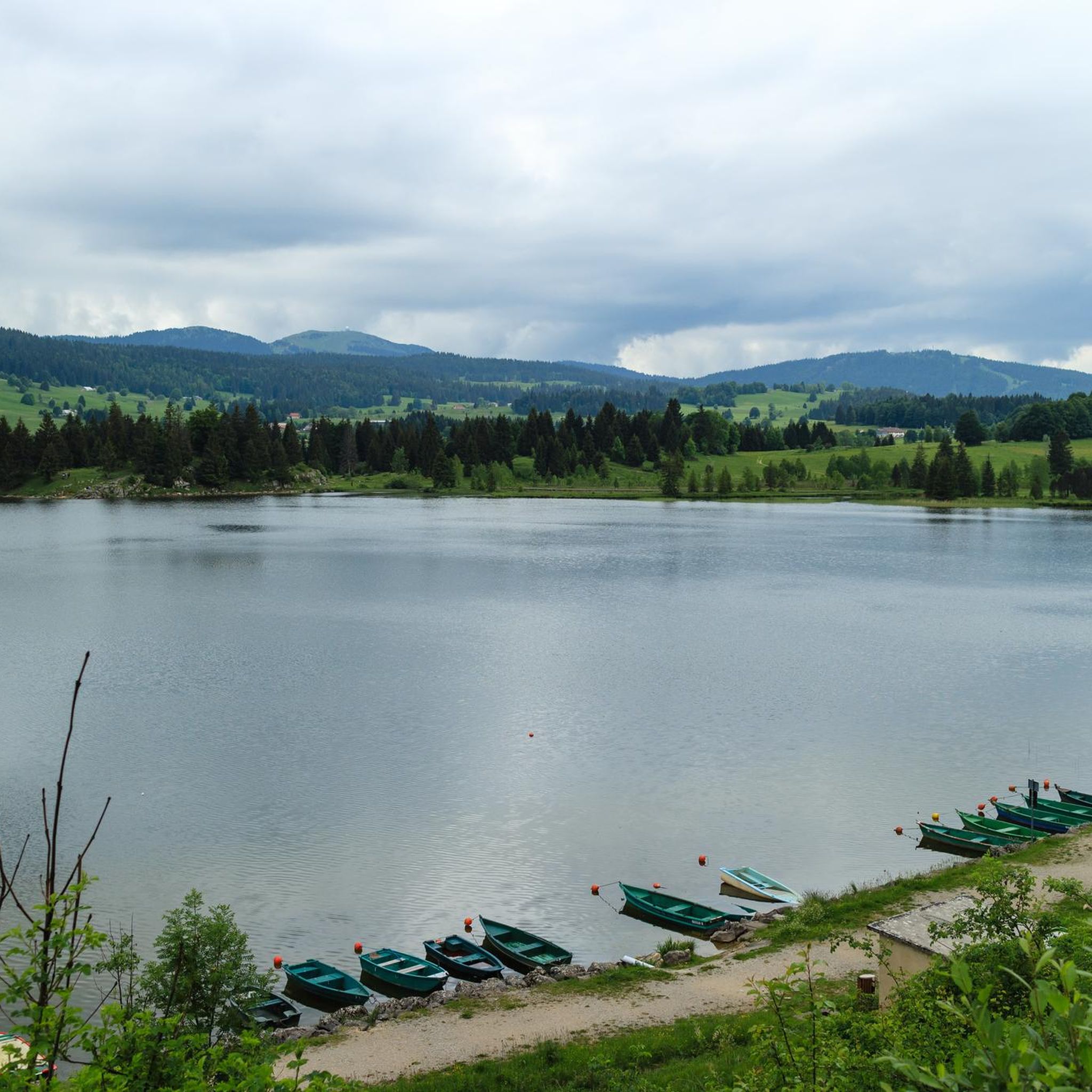
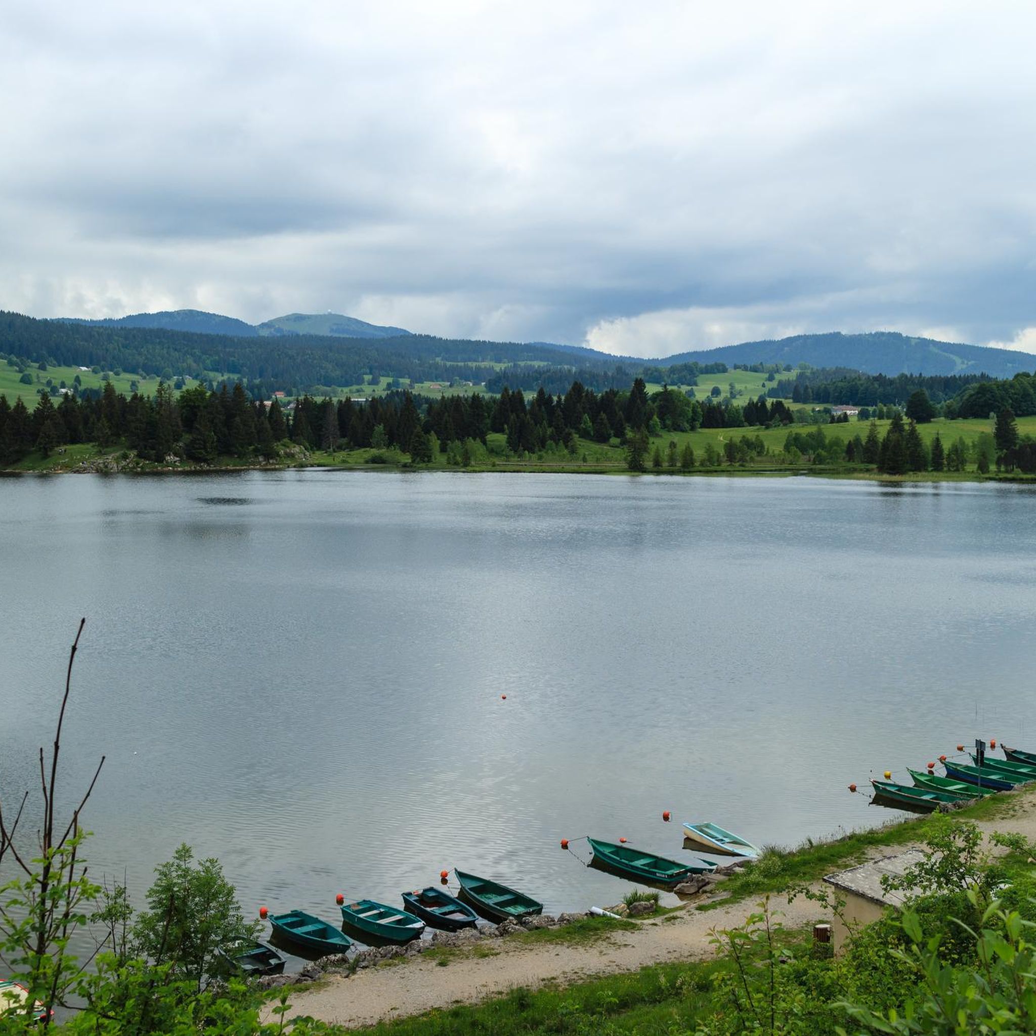
Greenery, small trail path, wild nature, everything is there to enjoy a breath of fresh air
1
0

Magnificent hike. Doable in winter (snowshoes if powder, or even hiking shoes with crampons if the snow is hard)
0
0

Beautiful section of the Jura Ridge Trail
5
0
Beautiful mountain range with a wonderful panorama
5
1

Wonderful place! Great view! The climb is tough and depending on the route you have to push your bike. I chose the climb via La Barillette and had to walk for about 30-45 minutes. There was also a bit of snow which meant a bit more walking.
1
0

Incredible view of the Jura, Lake Geneva, the Alps, and the Dôle radar dome.
0
0
Frequently Asked Questions
What is the overall difficulty level of mountaineering routes around Lac des Rousses?
The mountaineering routes in the Lac des Rousses area are primarily categorized as moderate or difficult. There are no easy routes listed, so a reasonable level of fitness and experience is recommended for most trails.
Are there any circular mountaineering routes in the Lac des Rousses region?
Yes, many of the mountaineering routes around Lac des Rousses are circular, offering varied scenery without retracing your steps. For example, you could explore the Mont Sâla Summit – Creux du Croue loop from Bois-d'Amont, which is a challenging 17.3 km route with panoramic views.
What are the typical durations for mountaineering tours in this area?
Mountaineering tours around Lac des Rousses vary in duration depending on the route's length and difficulty. You'll find options ranging from shorter moderate hikes, like the La Dôle loop from Col de la Givrine which takes about 2 hours 14 minutes, to more demanding full-day excursions such as the La Dôle loop from Les Pralies, typically completed in around 5 hours.
What kind of terrain can I expect on mountaineering routes in the Jura mountains near Lac des Rousses?
The terrain in the Jura mountains around Lac des Rousses is diverse, featuring forested slopes, open summits, and mountain passes. You can expect a mix of well-defined paths and more challenging ascents, characteristic of the Jura range.
Is mountaineering around Lac des Rousses suitable for families with children?
Given that all listed mountaineering routes are rated as moderate or difficult, they might be challenging for younger children or families new to mountaineering. It's advisable to check the specific route details, including distance and elevation gain, to ensure it matches your family's capabilities.
What is the best time of year for mountaineering in the Lac des Rousses area?
The best time for mountaineering around Lac des Rousses is typically from late spring through early autumn (May to October), when trails are generally clear of snow and weather conditions are more stable. Always check local weather forecasts before heading out, as mountain conditions can change rapidly.
Are dogs allowed on the mountaineering trails near Lac des Rousses?
Many trails in the Jura region are dog-friendly, but it's always best to check specific regulations for each route or protected area. Ensure your dog is well-behaved, kept on a leash where required, and that you carry waste bags to maintain the natural environment.
What do other mountaineers say about the routes in Lac des Rousses?
The mountaineering routes around Lac des Rousses are highly regarded by the komoot community, holding an average rating of 4.5 stars. Users often praise the varied terrain, the rewarding views from summits like Mont Sâla, and the well-maintained paths through forested sections and mountain passes.
Are there any specific points of interest or scenic viewpoints along the mountaineering routes?
While specific highlight data isn't detailed for every route, the region is known for its panoramic views from prominent peaks and scenic cols. Routes often traverse areas with beautiful vistas of the Jura landscape, including the opportunity to see Lac des Rousses itself from higher elevations.
Where can I find parking for mountaineering routes near Lac des Rousses?
Parking is generally available at common starting points for routes, such as Col de la Givrine or Bois-d'Amont. It's recommended to check the specific tour details on komoot for information on designated parking areas near the trailhead you plan to use.
Are there any moderate mountaineering routes that offer significant elevation gain?
Yes, even moderate routes can offer substantial elevation gain. For instance, the La Dôle – Chalet de La Pile-Dessus loop from Col de la Givrine is a moderate 12.2 km route that includes over 680 meters of ascent, providing a good workout with rewarding views.
What should I wear for mountaineering in the Lac des Rousses region?
For mountaineering in the Jura mountains, it's advisable to wear sturdy hiking boots, layered clothing suitable for changing mountain weather, and waterproof outerwear. Don't forget sun protection, a hat, and sufficient water and snacks.
Most popular routes around Lac des Rousses

Get inspired with the komoot mobile app


Explore more
Browse the best Mountain Hikes & Routes in other regions.
