The best mountain hikes around Grand Lac de Laffrey
4.8
(4)
71
hikers
8
hikes
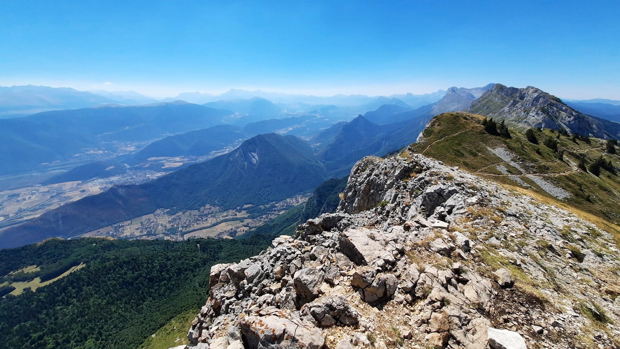
Mountaineering routes around Grand Lac de Laffrey are situated on the Matheysine Plateau, offering access to the challenging terrain of the nearby Taillefer and Vercors massifs. The region is characterized by glacial lakes, rugged landscapes, and significant elevation changes, with peaks in the Taillefer massif exceeding 2,500 meters. Limestone cliffs, wild ridges, and varied forests define the mountainous areas surrounding the lake. This environment provides diverse and demanding routes for experienced mountaineers.
Best mountaineering routes around Grand Lac de Laffrey
…Last updated: July 3, 2026
12
hikers
9.18km
04:16
790m
790m
Hard mountaineering route. Good fitness required. Sure-footedness, sturdy shoes and alpine experience required.
4.0
(1)
11
hikers
8.99km
04:04
830m
830m
Hard mountaineering route. Good fitness required. Sure-footedness, sturdy shoes and alpine experience required.

Sign up for free
11
hikers
13.3km
06:30
1,060m
1,060m
Hard mountaineering route. Very good fitness required. Sure-footedness, sturdy shoes and alpine experience required.
6
hikers
15.0km
07:43
1,270m
1,270m
Hard mountaineering route. Very good fitness required. Sure-footedness, sturdy shoes and alpine experience required.
5.0
(1)
16
hikers
10.2km
05:52
850m
850m
Hard mountaineering route. Very good fitness required. Sure-footedness, sturdy shoes and alpine experience required.
Get access to more routes and recommendations from other explorers.
Sign up for free
Already have an account?
Our route recommendations are based on thousands of hikes, rides, and runs completed by other people on komoot.
Start today with a free account
Your next adventure awaits.
Login or Signup
Popular around Grand Lac de Laffrey
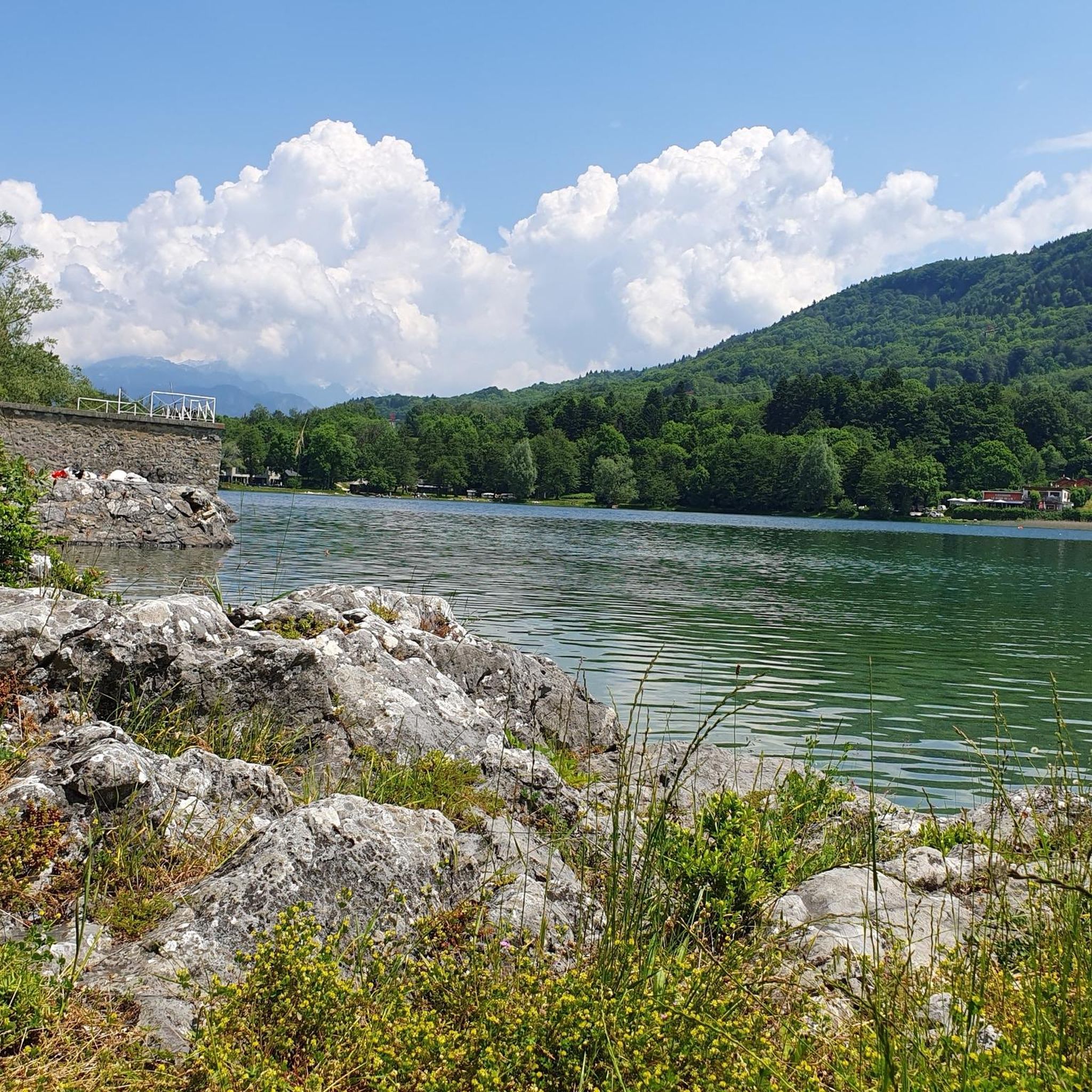
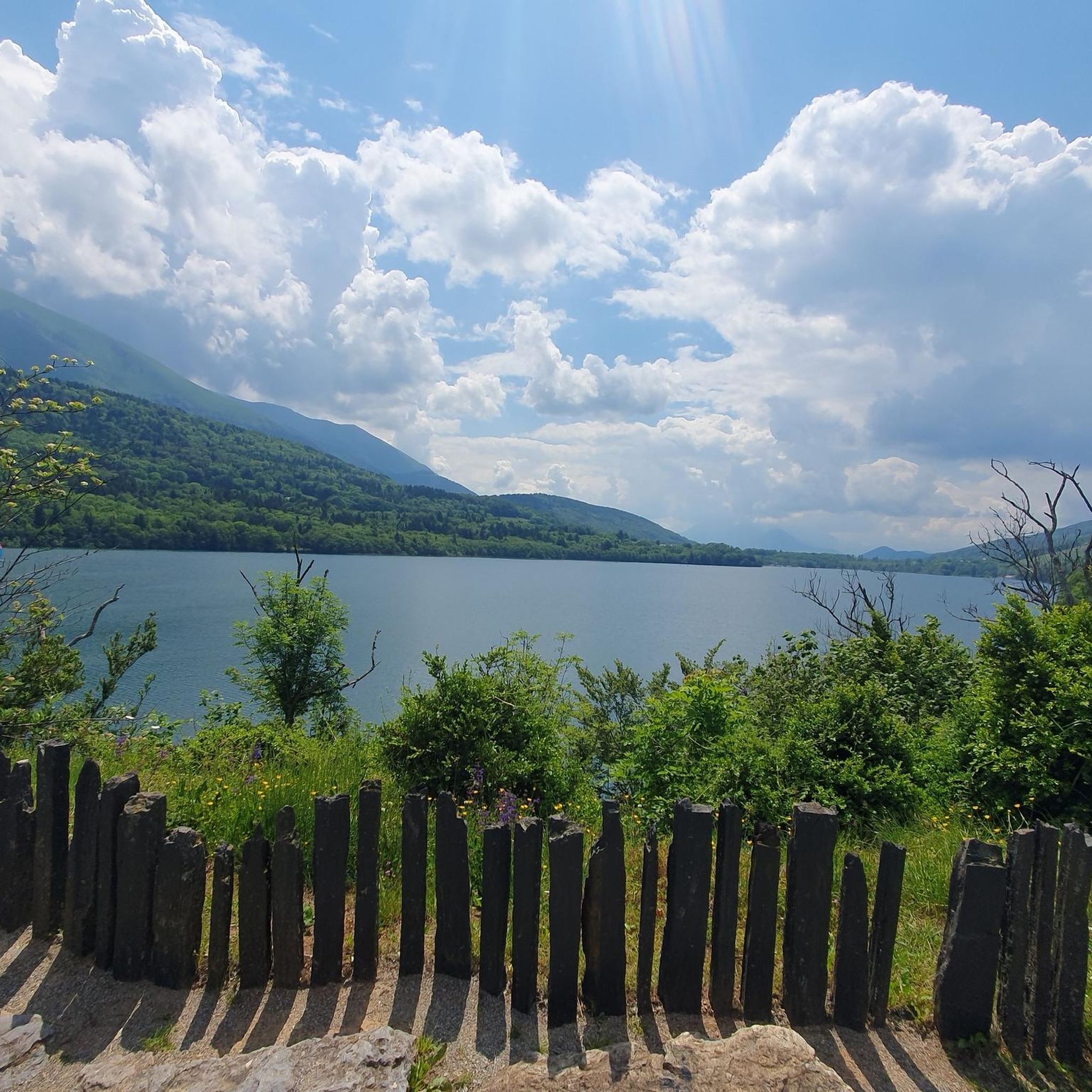
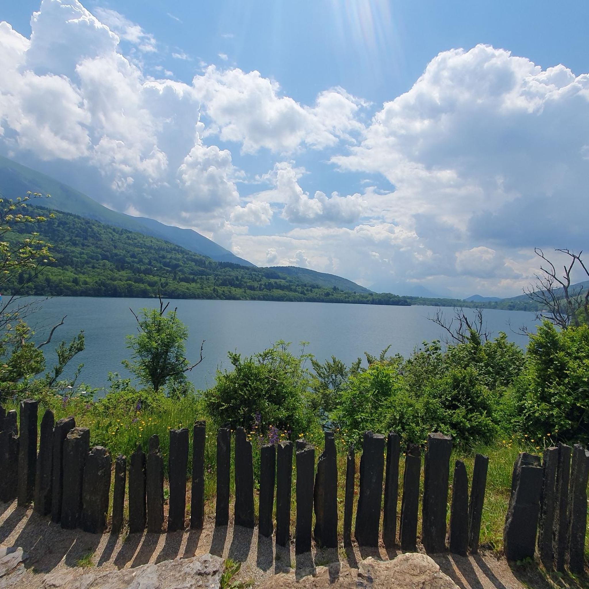

Other adventures around Grand Lac de Laffrey


Tips from the Community

A high-altitude lake, very quiet and rarely visited. The lake is at an altitude of 2,115 m. It offers breathtaking 360° views.
0
0

An easy pass, away from traffic, in the very heart of the Alpe du Grand Serre Station. From Séchilienne, approx. 15km for D+ 1000m. To do in summer to enjoy the freshness of this shady slope.
2
0

The Col de la Morte opens a window onto the Alpine landscapes. A Mecca for cyclists, hikers and trail runners, it is the scene of memorable climbs and outdoor adventures!
0
0
At the heart of the Oisans massif is Lake Brouffier, a high-altitude jewel in Isère. Its shimmering waters reflect the surrounding peaks.
0
0

The Col de la Morte from Sechilienne is 15.3 km long with a total drop of 1003 m. The average gradient is 6.56% with maximum gradients of 9.3%. A very nice climb to do during the summer months because the climb is mostly in the shade. When you get to the top you can go down the other side to La Mure.
3
0

Hike from the "waterfall", climb in the forest then following the return path of the via ferrata. Attention passages require to put the hands, cables.
0
0
Frequently Asked Questions
What kind of terrain can I expect on mountaineering routes around Grand Lac de Laffrey?
The mountaineering routes around Grand Lac de Laffrey are primarily situated on the Matheysine Plateau, offering access to the challenging terrain of the nearby Taillefer and Vercors massifs. You can expect rugged landscapes, significant elevation changes, limestone cliffs, wild ridges, and high-altitude glacial lakes. Peaks in the Taillefer massif, for instance, exceed 2,500 meters, providing demanding ascents and descents.
How many mountaineering routes are available around Grand Lac de Laffrey?
There are 9 mountaineering routes detailed for the Grand Lac de Laffrey area. These routes primarily cater to experienced mountaineers seeking challenging ascents and descents.
Are there any easy mountaineering routes for beginners around Grand Lac de Laffrey?
The mountaineering routes around Grand Lac de Laffrey are generally considered challenging. Out of the 9 available routes, 8 are rated as 'difficult' and 1 as 'moderate'. There are no routes specifically categorized as 'easy' for mountaineering in this guide, indicating that alpine experience and good fitness are typically required.
What are some of the more challenging mountaineering routes in the area?
For those seeking a significant challenge, consider the Le Petit Taillefer – Col du Grand Van loop from La Morte. This route covers nearly 15 km with over 1,200 meters of elevation gain, making it one of the most demanding options. Another challenging route is the Lac de Prévourey loop from La Morte, which is over 14 km long and also features more than 1,200 meters of elevation gain.
Are there any circular mountaineering routes available?
Yes, several mountaineering routes around Grand Lac de Laffrey are circular. Examples include the popular Lac Charlet – L'Oreille du Loup loop from Villard-Saint-Christophe, the Le Tabor loop from Villard-Saint-Christophe, and the longer Lac Charlet – Le Tabor loop from Villard-Saint-Christophe. These loops allow you to start and finish at the same point, offering varied mountain landscapes.
What do other mountaineers say about the routes around Grand Lac de Laffrey?
The mountaineering routes in Grand Lac de Laffrey are highly rated by the komoot community, with an average score of 4.75 stars from around 5 reviews. Over 50 mountaineers have used komoot to explore the varied and challenging terrain, often praising the rugged mountain massifs and high-altitude glacial lakes.
Are there any notable natural features or attractions near the mountaineering routes?
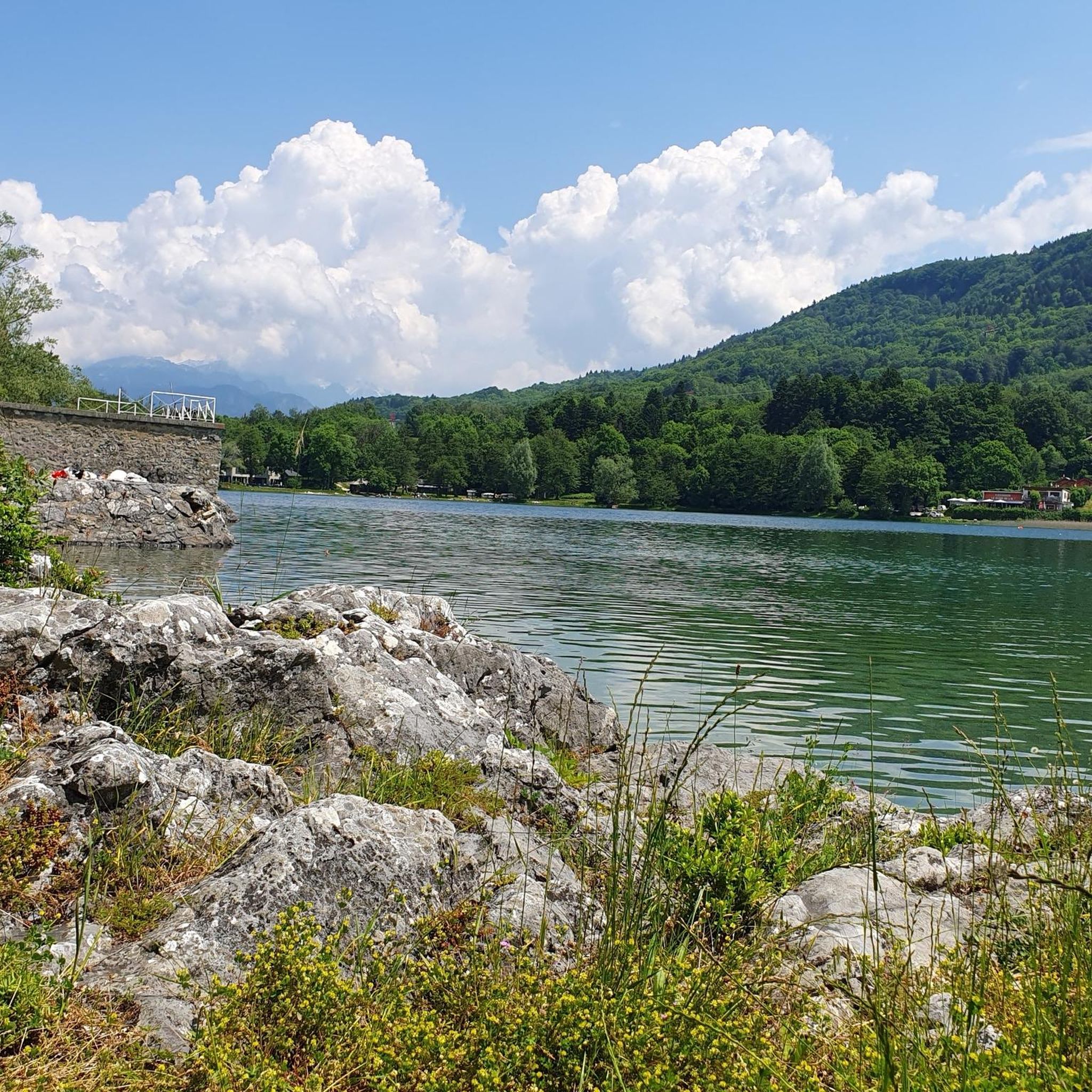
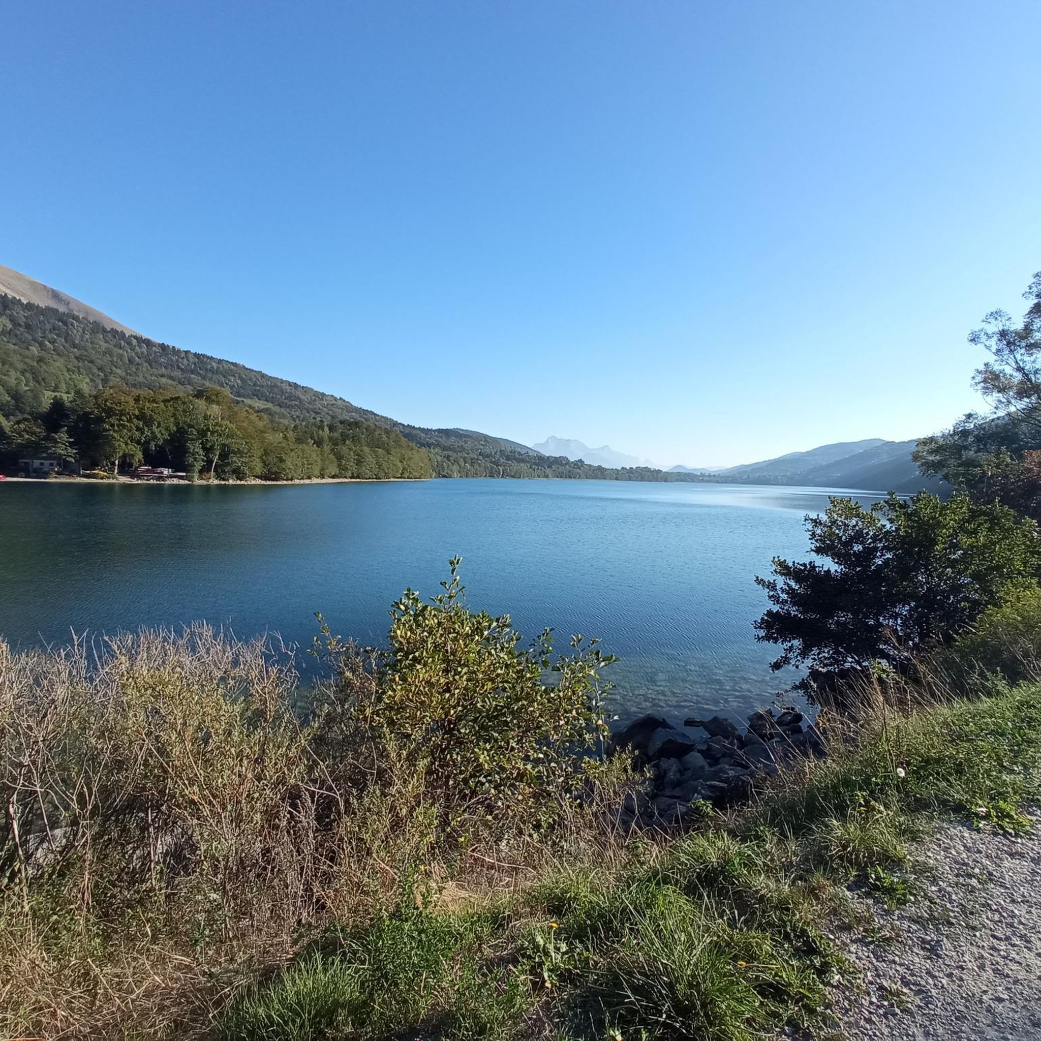
Yes, the region is rich in natural beauty. Grand Lac de Laffrey itself is the largest of four glacial lakes, known for their clear, cool waters. The routes are set against the backdrop of the Matheysine Plateau and offer views towards the Taillefer and Vercors massifs, both renowned for their rugged landscapes. The area also has historical significance, being situated along the Route Napoléon.
What is the best time of year for mountaineering in this region?
The best time for mountaineering around Grand Lac de Laffrey is typically during the warmer months, from late spring to early autumn, when trails are clear of snow and weather conditions are more stable. However, the region also offers winter activities like snowshoeing and cross-country skiing, and some areas might be suitable for winter mountaineering with appropriate gear and experience.
Is public transport available to reach the starting points of these mountaineering routes?
Grand Lac de Laffrey is located about 23 km south of Grenoble. While specific public transport details for each route's starting point are not provided in the guide, Grenoble typically offers bus routes to the general Laffrey area. It's advisable to check local bus schedules from Grenoble to Laffrey or nearby villages like Villard-Saint-Christophe or La Morte for access to the trailheads.
Are there any specific parking considerations for mountaineering routes?
While specific parking details for each trailhead are not listed, routes often start from villages such as Villard-Saint-Christophe or La Morte. These villages typically offer parking facilities for hikers. It's recommended to check local signage upon arrival or consult detailed maps for designated parking areas near your chosen starting point.
What level of fitness and experience is required for mountaineering around Grand Lac de Laffrey?
Mountaineering around Grand Lac de Laffrey is defined by rugged mountain massifs and significant elevation changes. The routes are primarily for experienced mountaineers, requiring very good fitness, sure-footedness, sturdy shoes, and alpine experience. Many routes involve over 5 hours of trekking and more than 3,000 feet of elevation gain.
Most popular routes around Grand Lac de Laffrey

Get inspired with the komoot mobile app


Explore more
Browse the best Mountain Hikes & Routes in other regions.
