The best mountain hikes around Lac Lauvitel
6
hikers
3
hikes
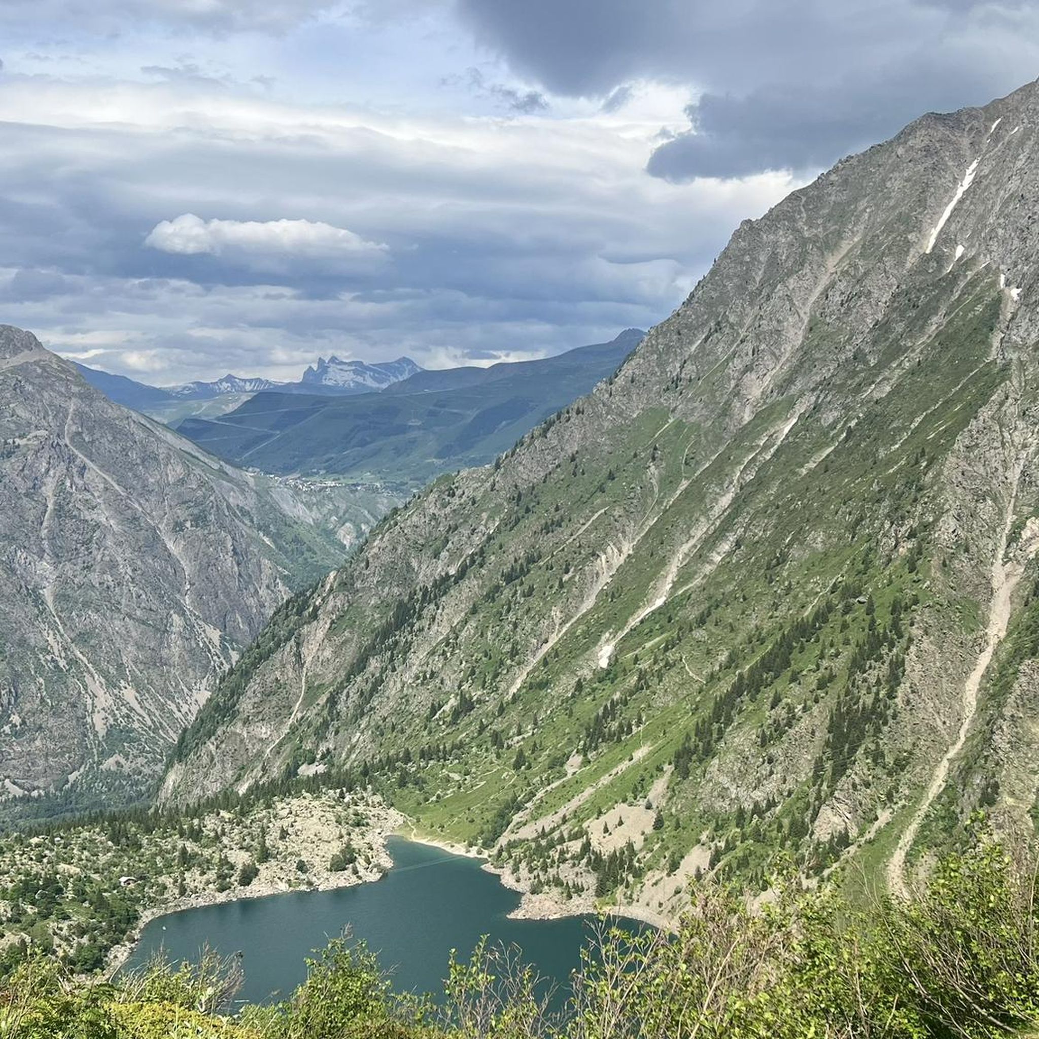
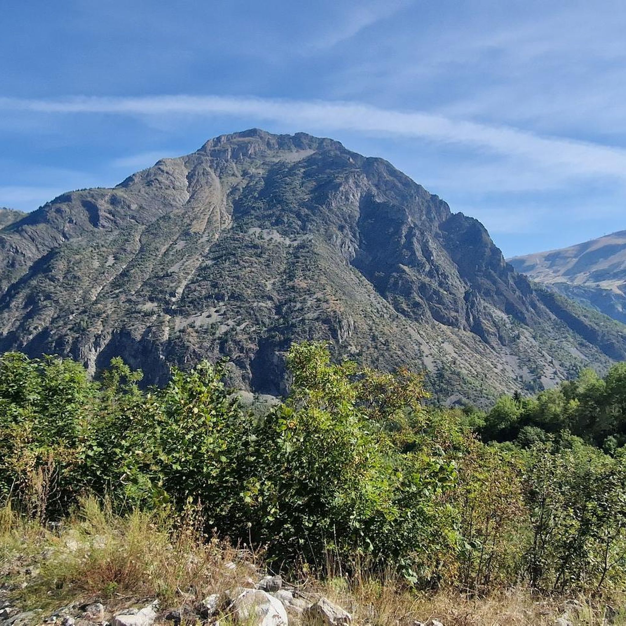
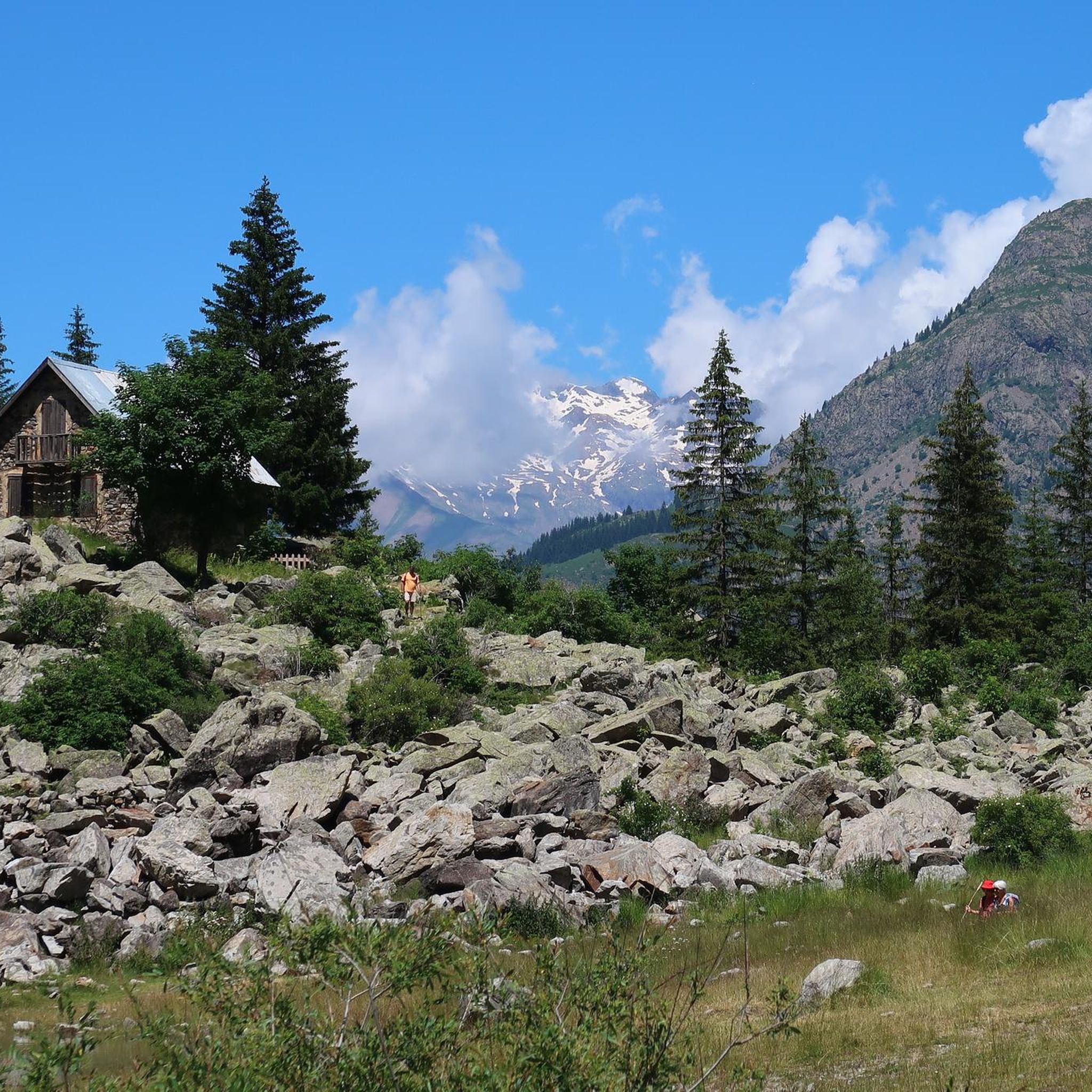
Mountaineering around Lac Lauvitel offers a diverse range of high-altitude routes within the French Alps. The region is characterized by its prominent alpine lakes, rugged mountain passes, and challenging ascents. These routes navigate through varied terrain, from forested valleys to exposed ridges, providing a true alpine experience.
Best mountaineering routes around Lac Lauvitel
- The most popular mountaineering route is Lake Lauvitel loop from La Danchère, a 4.1 miles (6.6 km) trail that takes 3 hours 25 minutes to complete.…
Last updated: July 3, 2026
3
hikers
10.0km
03:29
450m
450m
Moderate mountaineering route. Good fitness required. Mostly accessible paths. Sure-footedness required.
1
hikers
10.1km
04:05
590m
590m
Moderate mountaineering route. Good fitness required. Mostly accessible paths. Sure-footedness required.

Sign up for free
2
hikers
4.75km
03:37
500m
490m
Hard mountaineering route. Good fitness required. Sure-footedness, sturdy shoes and alpine experience required.
Our route recommendations are based on thousands of hikes, rides, and runs completed by other people on komoot.
Start today with a free account
Your next adventure awaits.
Login or Signup
Tips from the Community

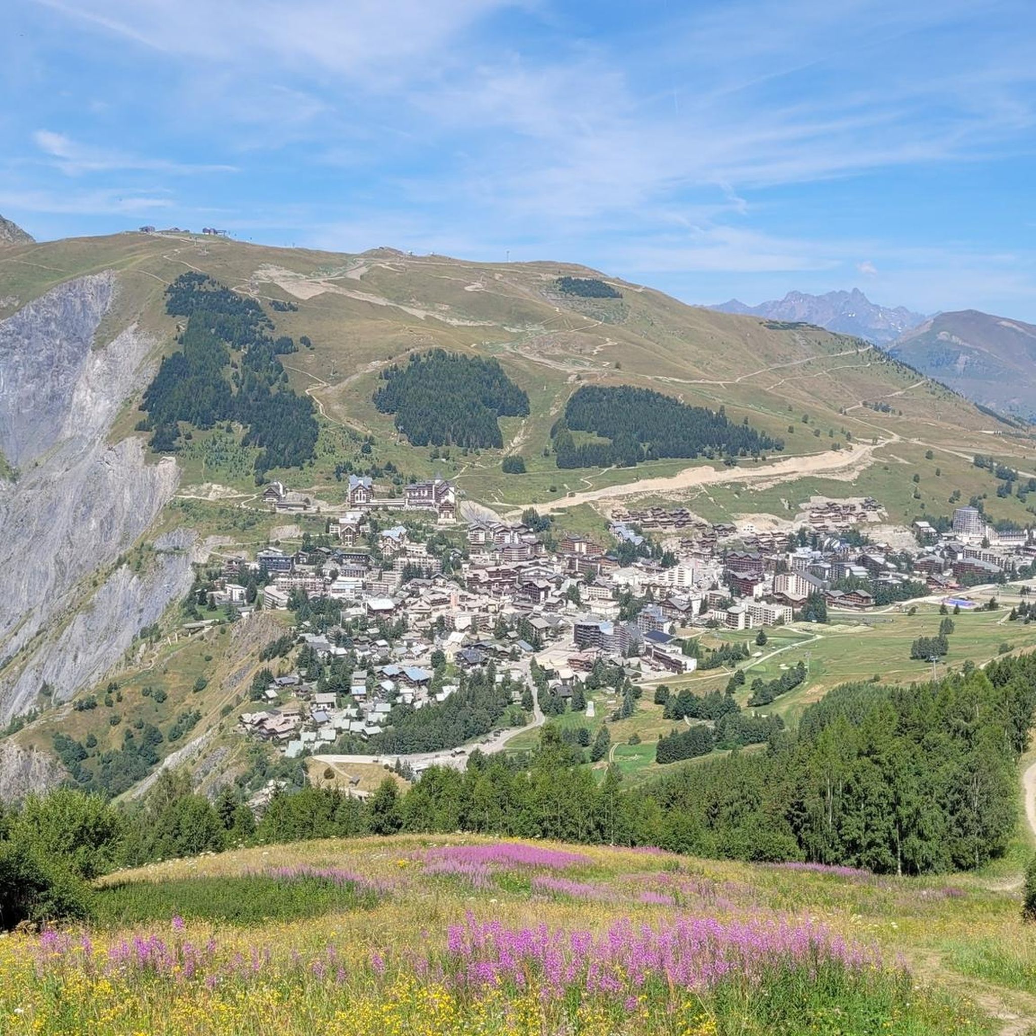
The climb up to the town is great but the place itself is a bit of an over-commercialised, purpose-built tourist trap. Enjoy the climb, grab a coffee then get out of there!
0
0

Not far from the Deux Alpes resort, the view of Lake Chambon is magnificent, with the peaks of the Arves massif in the background.
0
0

Location where one of the largest ski areas in all of France is located, Les Deux Alpes are famous in the cycling world due to a famous victory by Marco Pantani in the 1998 Tour. The Pirate attacked on the Galibier and arrived alone on the finish line of Les Deux Alpes, where he won the stage and wore the first yellow jersey of his career.
1
0
Frequently Asked Questions
How many mountaineering routes are available around Lac Lauvitel?
There are 7 distinct mountaineering routes detailed in this guide for the Lac Lauvitel area, offering a range of experiences from moderate to difficult.
Are there any moderate mountaineering routes suitable for those with some experience?
Yes, the region offers several moderate routes. For example, the Lake Lauvitel loop from La Danchère is a popular choice, taking around 3 hours 25 minutes to complete. Another option is the Les Deux Alpes – View of Lac du Chambon loop from Les Deux Alpes, which offers scenic views over Lac du Chambon.
What are some of the more challenging mountaineering routes in the area?
For experienced mountaineers seeking a challenge, the Muzelle Refuge – Lake Lauvitel loop from Venosc is a difficult 13-mile path with significant elevation gain. Another demanding option is the Waterfall – Muzelle Refuge loop from Champ du Moulin, which leads through alpine landscapes and past a waterfall.
When is the best time of year for mountaineering around Lac Lauvitel?
The prime season for mountaineering in the Lac Lauvitel region is typically from late spring to early autumn (June to September). During these months, trails are generally free of snow, and weather conditions are more stable, making high-altitude routes more accessible. Always check local weather forecasts and trail conditions before heading out.
Are there any mountain refuges or cafes along the routes?
Yes, the alpine environment around Lac Lauvitel features several mountain refuges. These provide essential shelter, food, and sometimes accommodation for mountaineers. The Muzelle Refuge – Lake Lauvitel loop from Venosc and the Waterfall – Muzelle Refuge loop from Champ du Moulin both pass by the Muzelle Refuge, offering a convenient stop.
What kind of gear should I bring for summer mountaineering in this region?
For summer mountaineering around Lac Lauvitel, essential gear includes sturdy hiking boots, layered clothing suitable for varying alpine temperatures, rain protection, a map and compass or GPS device, sufficient water and food, sun protection (hat, sunglasses, sunscreen), and a first-aid kit. Depending on the route, trekking poles can also be very helpful.
Is parking available near the trailheads for Lac Lauvitel?
Parking is generally available at or near the main starting points for routes in the Lac Lauvitel area, such as La Danchère, Venosc, and Champ du Moulin. However, during peak season, spaces can fill up quickly, so it's advisable to arrive early, especially for popular trailheads.
Can I reach the mountaineering trailheads using public transport?
While public transport options might be limited directly to all remote trailheads, some villages like Venosc, which serves as a starting point for routes like the Muzelle Refuge – Lake Lauvitel loop, may be accessible by local bus services, especially during the summer season. It's recommended to check local transport schedules in advance.
What do other mountaineers appreciate most about the Lac Lauvitel area?
The Lac Lauvitel region is highly rated by the komoot community, with an average score of 4.3 stars. Mountaineers frequently praise the stunning alpine scenery, the pristine nature of the lake itself, and the challenging yet rewarding ascents that offer panoramic views of the French Alps.
Are there any less crowded mountaineering options if I want to avoid popular trails?
To experience a quieter side of the region, consider routes that might be slightly further afield or less advertised. The Col de Mais – Col de l'Alpe loop from Les Deux Alpes, while still offering beautiful alpine views, might provide a more tranquil experience compared to the most popular Lac Lauvitel loops.
Are there opportunities for multi-day mountaineering treks around Lac Lauvitel?
Yes, the network of trails and refuges in the Écrins National Park, where Lac Lauvitel is located, lends itself well to multi-day treks. Routes can be linked to create longer expeditions, often incorporating overnight stays at mountain refuges. The more challenging routes, such as the Muzelle Refuge – Lake Lauvitel loop, can be part of a larger multi-day itinerary.
Most popular routes around Lac Lauvitel

Get inspired with the komoot mobile app


Explore more
Browse the best Mountain Hikes & Routes in other regions.
