The best mountain hikes around Parc naturel régional Jura vaudois
4.8
(4)
88
hikers
17
hikes
Mountaineering routes around Parc naturel régional Jura vaudois traverse a diverse landscape spanning 530 km² in the Vaud Jura of western Switzerland. The region is characterized by significant mountain peaks such as Mont Tendre (1,679 m) and La Dôle (1,677 m), alongside dense spruce and pine forests, and unique limestone geological formations. It also features large lakes like Lac du Joux and river gorges, providing varied terrain for mountaineering.
Best mountaineering routes around Parc naturel régional Jura vaudois
- The most…
Last updated: July 3, 2026
10
hikers
15.4km
05:07
670m
670m
Hard mountaineering route. Very good fitness required. Mostly accessible paths. Sure-footedness required.
5.0
(1)
10
hikers
9.69km
03:15
450m
450m
Moderate mountaineering route. Good fitness required. Mostly accessible paths. Sure-footedness required.

Sign up for free
10
hikers
13.8km
04:48
660m
660m
Moderate mountaineering route. Good fitness required. Mostly accessible paths. Sure-footedness required.
8
hikers
5.97km
02:20
430m
430m
Moderate mountaineering route. Good fitness required. Easily-accessible paths. Suitable for all skill levels.
8
hikers
14.2km
05:14
920m
920m
Hard mountaineering route. Very good fitness required. Easily-accessible paths. Suitable for all skill levels.
Get access to more routes and recommendations from other explorers.
Sign up for free
Already have an account?
Our route recommendations are based on thousands of hikes, rides, and runs completed by other people on komoot.
Start today with a free account
Your next adventure awaits.
Login or Signup
Popular around Parc naturel régional Jura vaudois
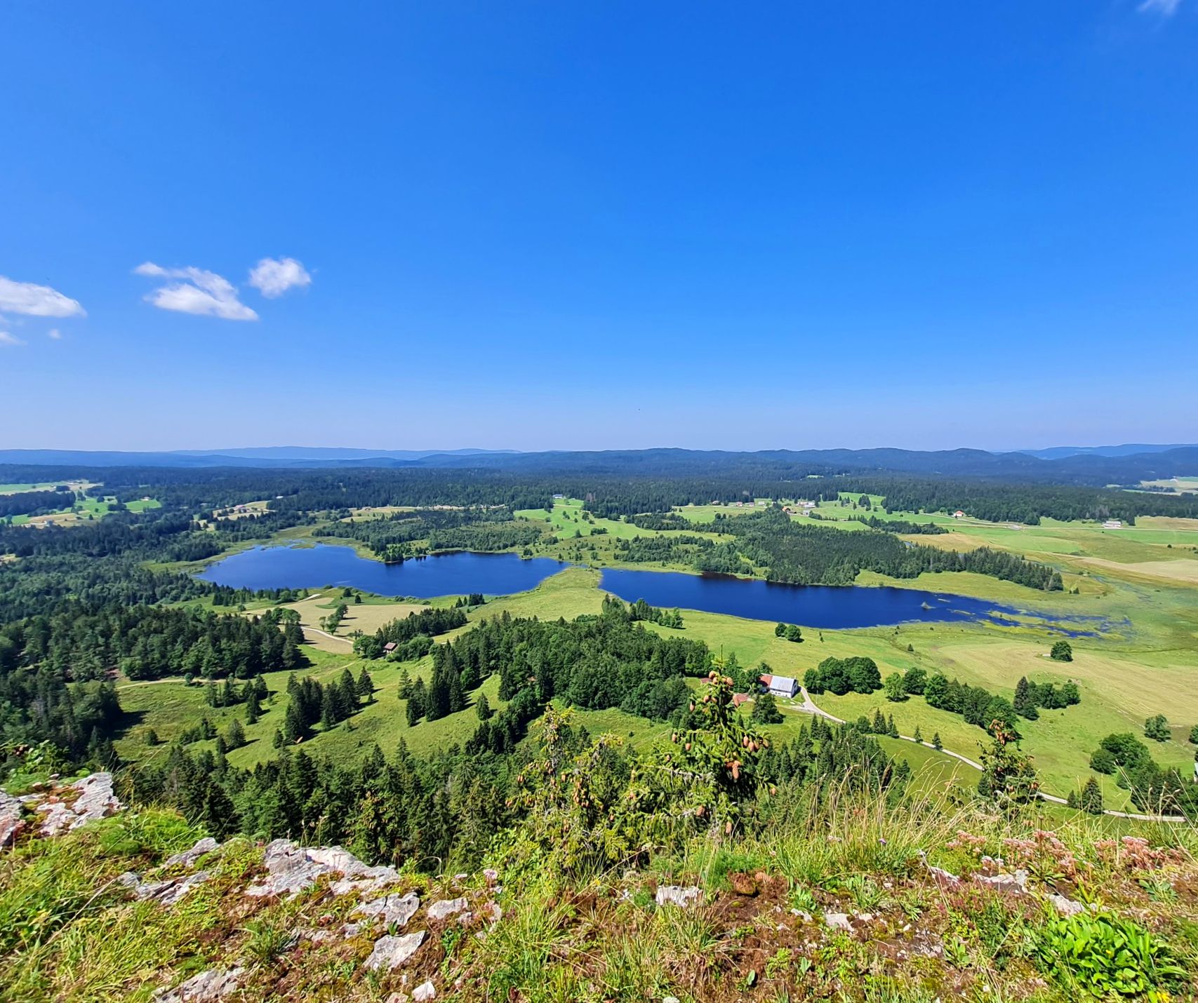
The Europe Trail – GR 5 from Nyon to Montbéliard

Alpine Panorama Trail in Switzerland – Keep your eyes on the mountains
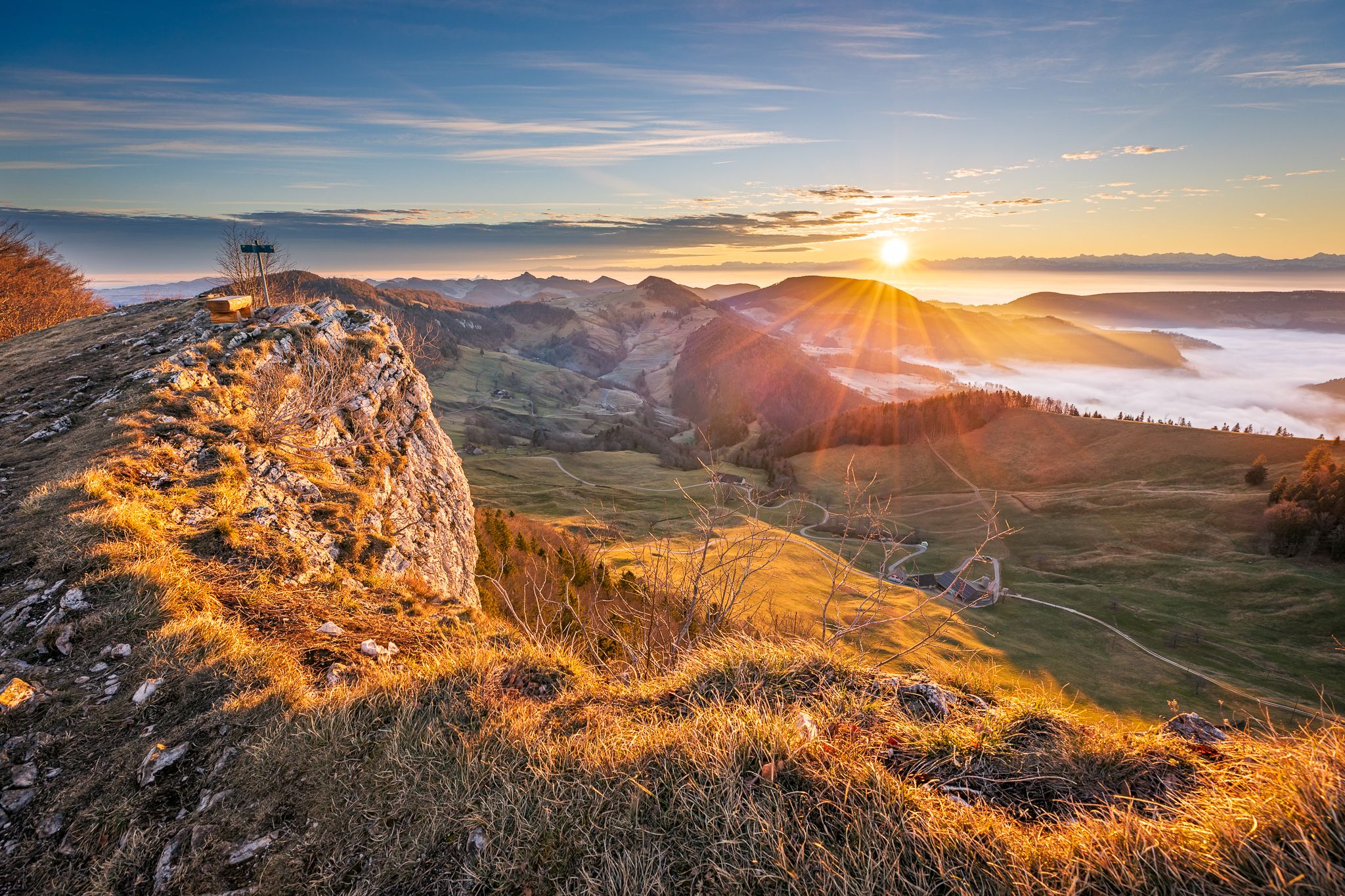
Jura Crest Trail - Rocks, distant views and fondue - 16 stages
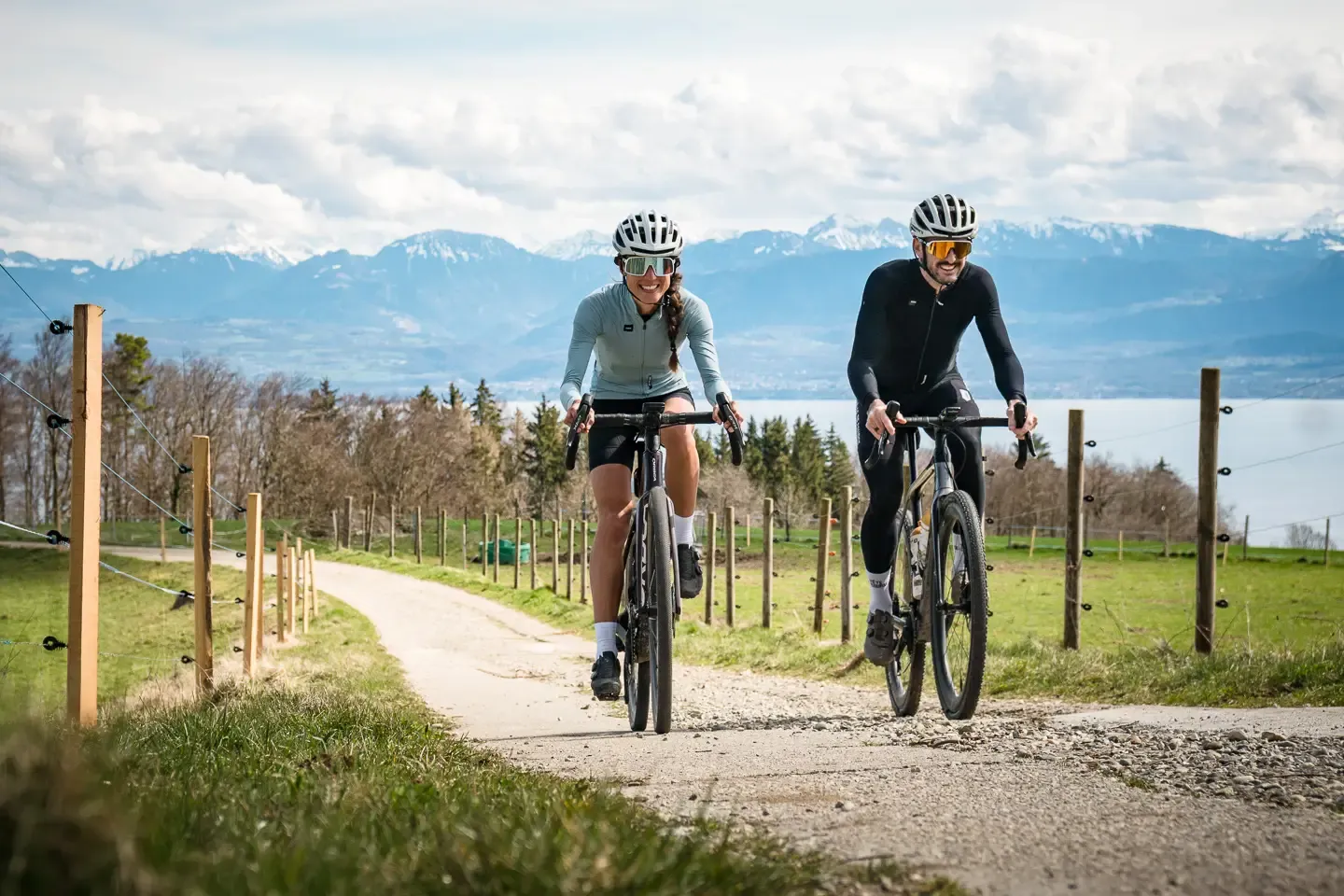
The Canton of Vaud on a gravel bike – loops between lakes and mountains
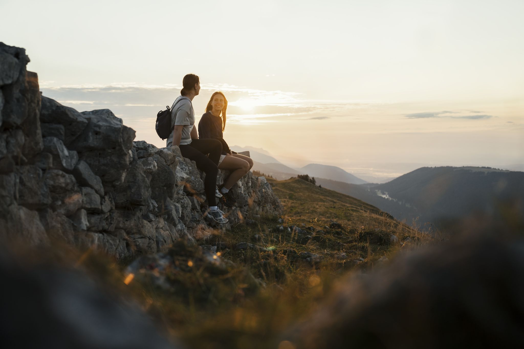
Panoramic hikes in the Jura & Three-Lakes Region
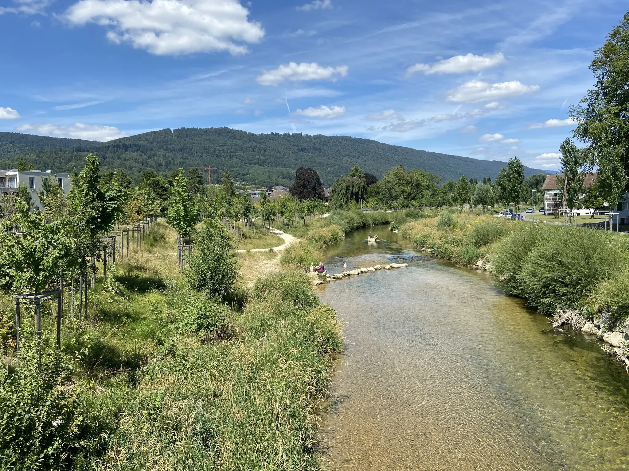
Cycle between lakes, vineyards and the Jura – Jurasüdfuss-Route
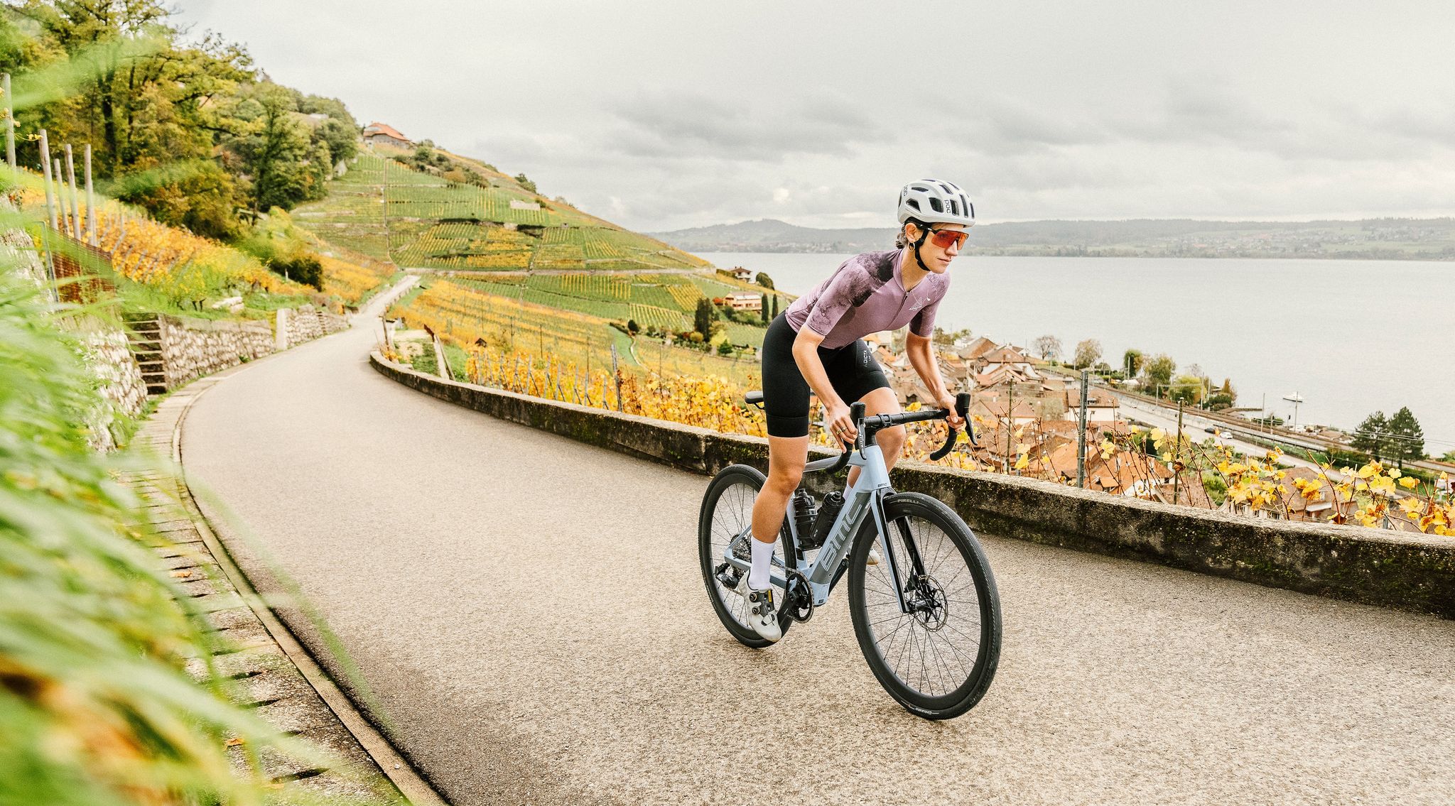
100% Women: on smooth asphalt above the clouds
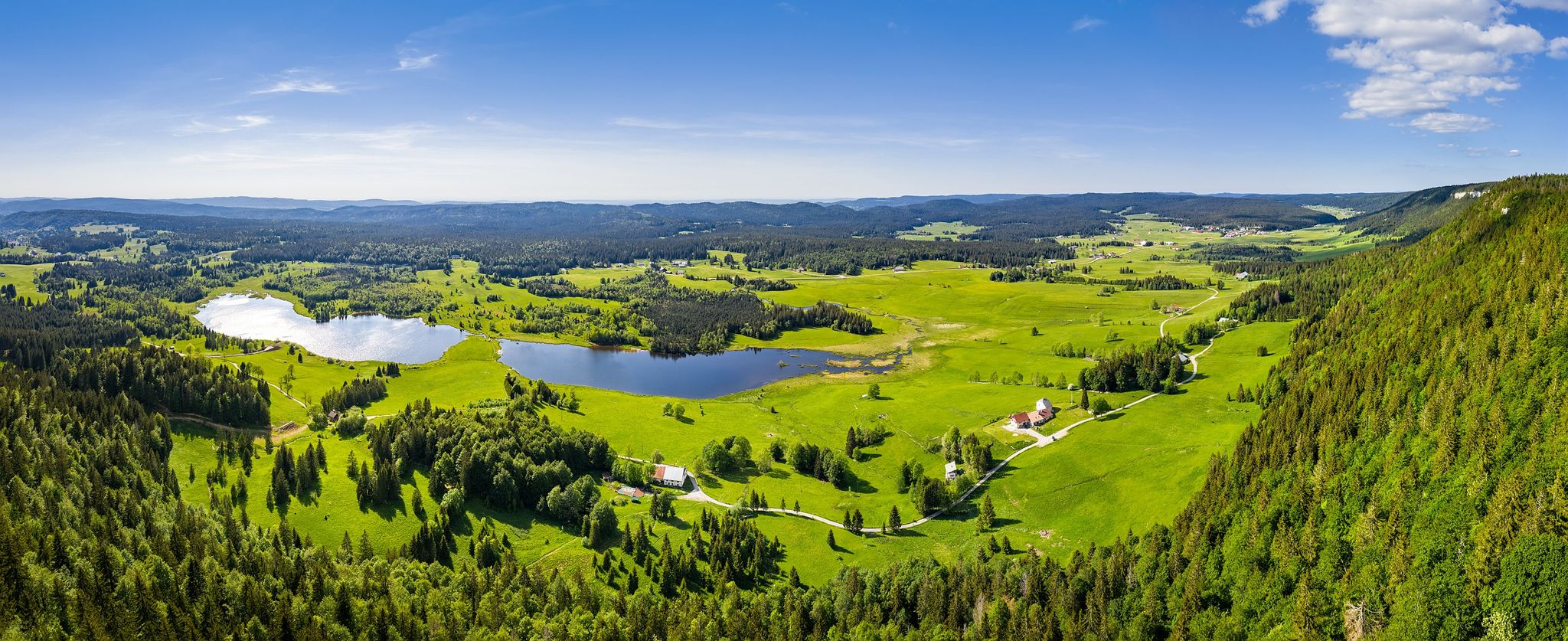
Hike from the vineyards to the peaks of the Jura – the Jurassic Escape

From the Vosges to the Jura mountains – Hexatrek, le Grand Est
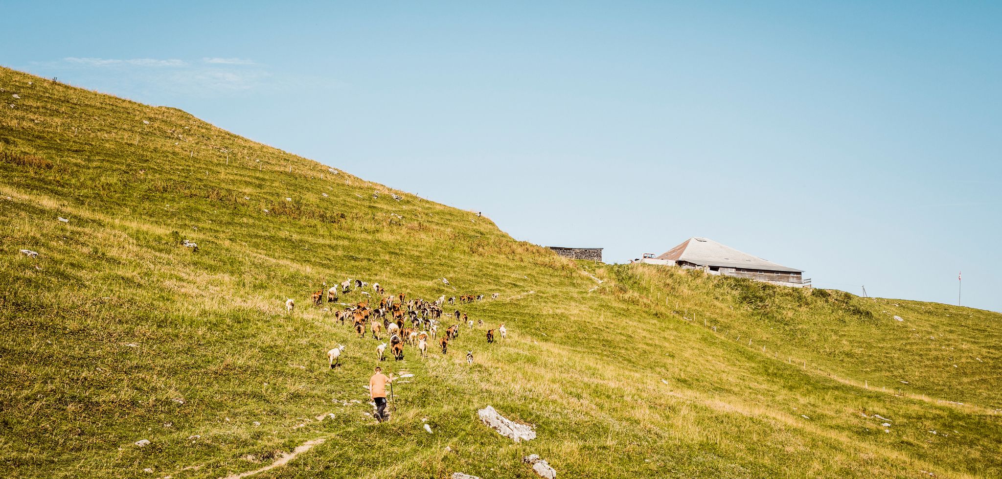
Swiss nature parks — Adrian the Goatherd of Bern
Other adventures around Parc naturel régional Jura vaudois


Tips from the Community

Amazing views of the Alps - a huge panorama!
0
0

View of Mt. Blanc between the trees
0
0

steep climb, walking shoes recommended: the view is worth the effort
0
0

Greenery, small trail path, wild nature, everything is there to enjoy a breath of fresh air
1
0

Magnificent view of the summit. Early in the morning, the material gondola is in operation
0
0

Wonderful viewpoint with a view of the Alps
4
0
Beautiful section of the Jura Ridge Trail
5
0
Beautiful mountain range with a wonderful panorama
5
1
Frequently Asked Questions
What kind of terrain can I expect on mountaineering routes in Parc naturel régional Jura vaudois?
The Parc naturel régional Jura vaudois offers a diverse landscape for mountaineering. You'll encounter significant mountain peaks like Mont Tendre and La Dôle, dense spruce and pine forests, and unique craggy limestone geological formations. The region is also characterized by large lakes such as Lac de Joux and various river gorges, providing varied and challenging terrain.
Are there any easier mountaineering routes suitable for beginners in the park?
While many routes in the Parc naturel régional Jura vaudois are rated moderate to difficult, there are options that might be more accessible. For instance, the Nyon Ski Club Hut – Col de Porte (Jura) loop from Les Cheseaux is a moderate 6.0-mile (9.7 km) trail that takes about 3 hours 15 minutes, offering a good introduction to the area's beauty without the most extreme challenges.
Which routes offer the best panoramic views of the Alps and Lake Geneva?
For breathtaking panoramic views, consider routes that ascend to the park's highest peaks. The La Dôle loop from Les Pralies takes you to the summit of La Dôle (1,677 m), which is renowned for its expansive vistas of the glaciated peaks of the Alps and the shimmering expanse of Lake Geneva. Similarly, the Mont Tendre Summit – Mont Tendre Trailhead loop from Montricher ascends to Mont Tendre (1,679 m), the highest peak in the Swiss Jura, offering equally spectacular scenery.
Are there any circular mountaineering routes available?
Yes, several routes in the Parc naturel régional Jura vaudois are designed as loops, allowing you to start and end at the same point. Examples include the popular La Dôle loop from Les Pralies, the Mont Tendre Summit – Mont Tendre Trailhead loop from Montricher, and the Nyon Ski Club Hut – Col de Porte (Jura) loop from Les Cheseaux.
What are some notable natural features or landmarks to look out for along the routes?
The park is rich in natural beauty and landmarks. You can explore the jagged limestone rocks characteristic of the Jura Mountains, visit the large Lac de Joux, or pass through the gorges of the Orbe and Nozon rivers. Prominent summits like La Dôle Summit and Dent de Vaulion offer incredible viewpoints. You might also encounter traditional dry stone walls and numerous alpine huts, some involved in cheese production.
What is the best time of year for mountaineering in Parc naturel régional Jura vaudois?
The Parc naturel régional Jura vaudois is suitable for mountaineering across different seasons, but the best time depends on your preference. Spring and autumn offer pleasant temperatures and vibrant landscapes. Summer provides longer daylight hours, while winter mountaineering is also possible, though it requires specific gear and alpine experience due to snow and ice conditions. Mountain guides are available to lead trips safely during winter.
Are there any specific requirements or gear recommendations for mountaineering in this region?
For more strenuous activities, especially on trails rated 'difficult' (corresponding to SAC ratings of 4–6), very good fitness, sure-footedness, sturdy shoes, and alpine experience are highly recommended. Always check weather conditions before heading out and carry appropriate layers, water, and navigation tools. For winter conditions, specialized gear like snowshoes or crampons might be necessary.
How long do mountaineering routes typically take in Parc naturel régional Jura vaudois?
The duration of mountaineering routes varies significantly based on distance, elevation gain, and your pace. For example, the La Dôle loop from Les Pralies, a difficult 9.3-mile (15.0 km) trail, typically takes around 5 hours. A moderate route like the Nyon Ski Club Hut – Col de Porte (Jura) loop from Les Cheseaux, which is 6.0 miles (9.7 km), can be completed in about 3 hours 15 minutes.
Can I find guided mountaineering tours in the Parc naturel régional Jura vaudois?
Yes, mountain guides are available in the region to organize and lead guided hikes, even during winter conditions. This can be a great option for those seeking to explore the park's challenging terrain safely or to learn more about its rich flora and fauna. You can find more information about mountain guides through local tourism resources, such as lacote-tourisme.ch.
What do other mountaineers say about the routes in Parc naturel régional Jura vaudois?
The mountaineering routes in Parc naturel régional Jura vaudois are highly regarded by the komoot community, holding an average rating of 5.0 stars from 2 reviews. Over 100 mountaineers have used komoot to explore the varied terrain, often praising the prominent mountain peaks, dense forests, and unique craggy limestone rocks that define the experience.
Are there any routes that pass by lakes or rivers?
Absolutely. The park encompasses significant bodies of water like Lac de Joux and Lac Brenet. Some routes will offer views of these lakes or follow river gorges, such as those of the Orbe and Nozon rivers, adding a beautiful aquatic element to your mountaineering adventure.
How many mountaineering routes are available in the Parc naturel régional Jura vaudois?
There are over 10 mountaineering routes detailed in this guide for the Parc naturel régional Jura vaudois, offering a range of options from moderate to difficult, catering to various skill levels and preferences.
Most popular routes around Parc naturel régional Jura vaudois
Most popular attractions around Parc naturel régional Jura vaudois

Get inspired with the komoot mobile app


Explore more
Browse the best Mountain Hikes & Routes in other regions.
