The best mountain hikes around Givrins
5.0
(1)
58
hikers
11
hikes
Mountaineering routes around Givrins are set within the Jura Vaudois, characterized by a landscape of tranquil forests, expansive pastures, and significant mountain peaks. The region's terrain includes the iconic La Dôle, offering challenging ascents and panoramic views. Trails often provide vistas over Lake Geneva, extending to Mont Blanc on clear days, and feature transitions from typical Jura scenery to alpine vegetation.
Best mountaineering routes around Givrins
- The most popular mountaineering route is La Dôle loop from Les Pralies, a…
Last updated: July 3, 2026
10
hikers
15.4km
05:07
670m
670m
Hard mountaineering route. Very good fitness required. Mostly accessible paths. Sure-footedness required.
5.0
(1)
10
hikers
9.69km
03:15
450m
450m
Moderate mountaineering route. Good fitness required. Mostly accessible paths. Sure-footedness required.

Sign up for free
10
hikers
13.8km
04:48
660m
660m
Moderate mountaineering route. Good fitness required. Mostly accessible paths. Sure-footedness required.
8
hikers
5.97km
02:20
430m
430m
Moderate mountaineering route. Good fitness required. Easily-accessible paths. Suitable for all skill levels.
3
hikers
6.46km
02:22
350m
350m
Moderate mountaineering route. Good fitness required. Mostly accessible paths. Sure-footedness required.
Get access to more routes and recommendations from other explorers.
Sign up for free
Already have an account?
Our route recommendations are based on thousands of hikes, rides, and runs completed by other people on komoot.
Start today with a free account
Your next adventure awaits.
Login or Signup
Tips from the Community

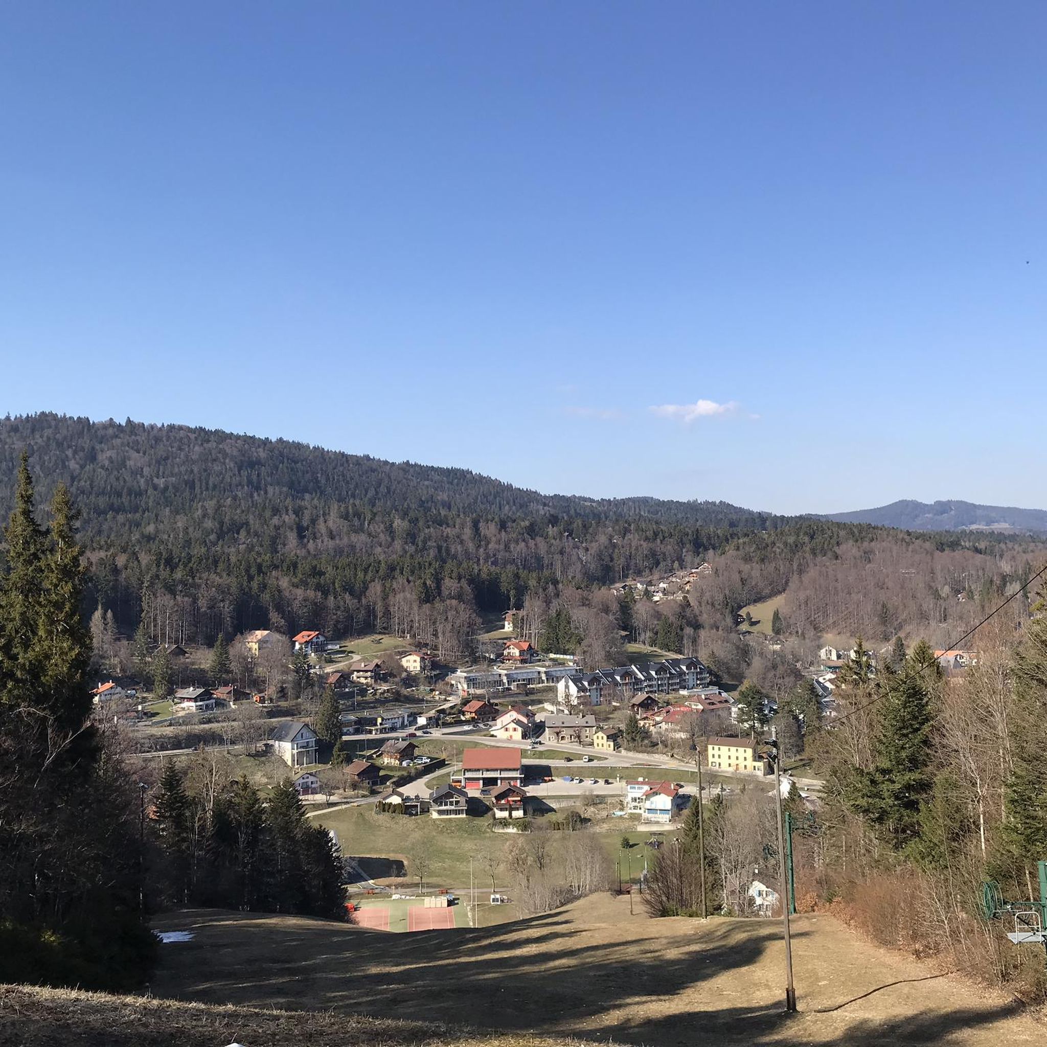
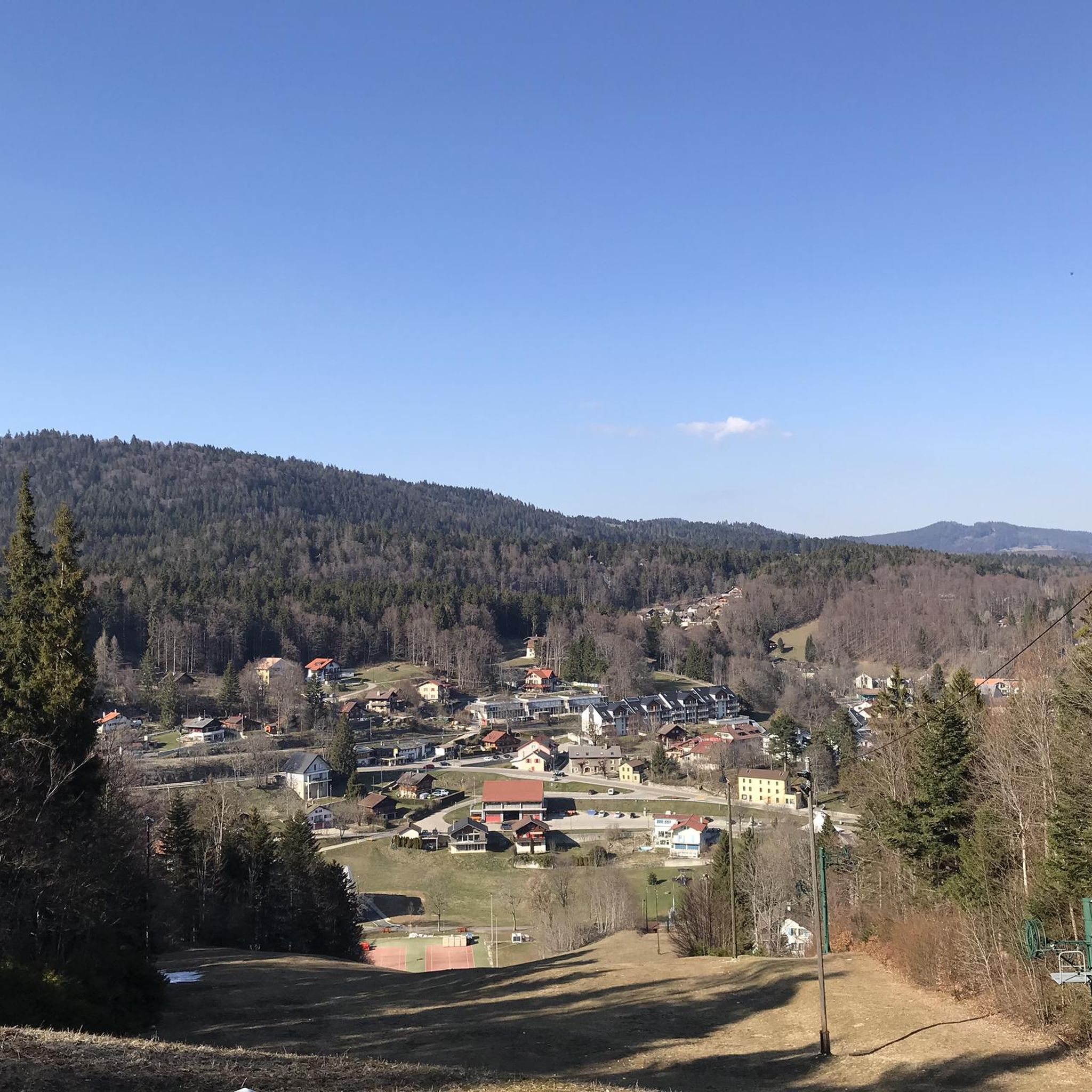
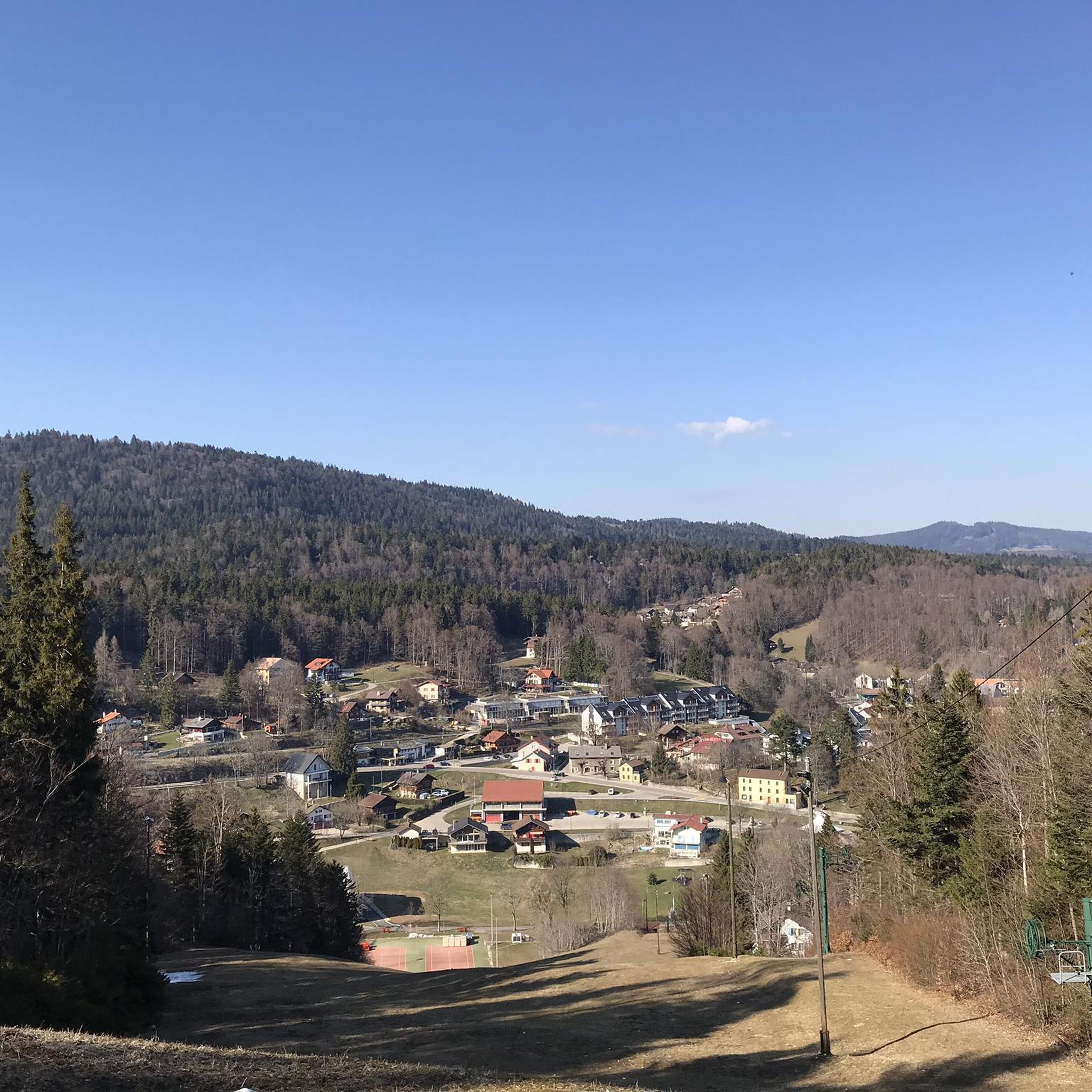
Amazing views of the Alps - a huge panorama!
0
0

View of Mt. Blanc between the trees
0
0

steep climb, walking shoes recommended: the view is worth the effort
0
0

Greenery, small trail path, wild nature, everything is there to enjoy a breath of fresh air
1
0

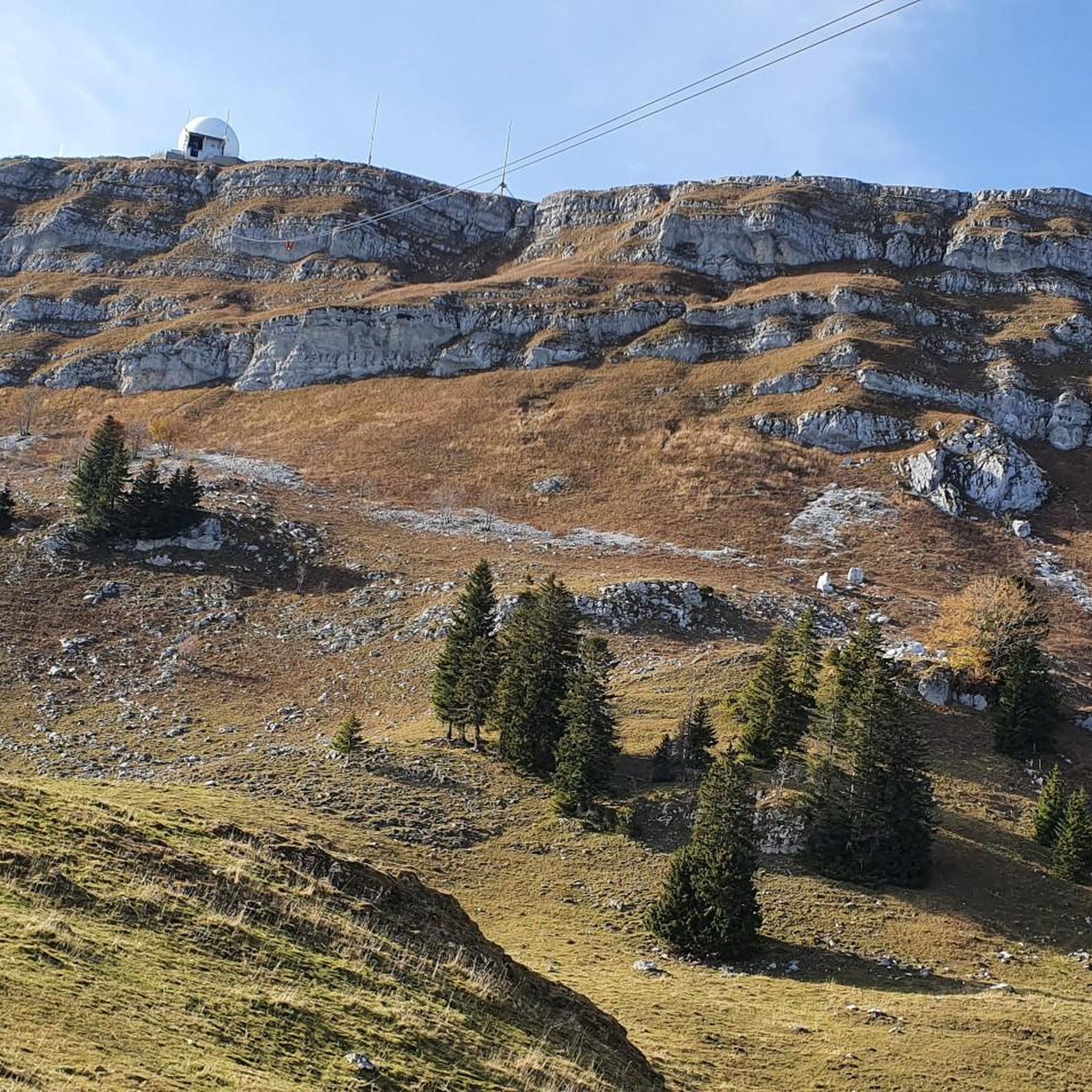
Magnificent view of the summit. Early in the morning, the material gondola is in operation
0
0

Beautiful section of the Jura Ridge Trail
5
0
Beautiful mountain range with a wonderful panorama
5
1
Frequently Asked Questions
How many mountaineering routes can I explore around Givrins?
There are over 10 distinct mountaineering routes around Givrins, offering a variety of challenges and scenic views within the Jura Vaudois. These routes cater to different fitness levels, from moderate ascents to more demanding trails.
What kind of terrain can I expect on mountaineering routes near Givrins?
The terrain around Givrins is diverse, ranging from tranquil forests and expansive pastures to significant mountain peaks like La Dôle. You'll experience transitions from typical Jura scenery to more alpine vegetation, with trails often providing panoramic vistas over Lake Geneva and Mont Blanc.
Are there any challenging mountaineering routes for experienced hikers?
Yes, for experienced mountaineers, routes like La Dôle loop from Les Pralies offer a significant challenge. This route covers nearly 15 km with over 670 meters of elevation gain, demanding very good fitness and providing extensive views.
Are there any circular mountaineering trails in the Givrins area?
Many of the mountaineering routes around Givrins are designed as loops. For instance, the La Dôle loop from Col de la Givrine is a shorter circular option, while the La Dôle – Chalet de La Pile-Dessus loop from Col de la Givrine offers a longer, moderate circular experience.
What are some notable landmarks or viewpoints along the mountaineering routes?
The most prominent landmark is La Dôle itself, offering majestic panoramic views of Lake Geneva, the city of Geneva, and Mont Blanc on clear days. You might also encounter interesting natural features like the Creux du Croue, a valley basin with a peat bog, along some trails in the wider Jura Vaudois region.
Can I access mountaineering routes near Givrins using public transport?
Yes, Givrins and nearby Saint-Cergue serve as excellent bases, often accessible by public transport, making it convenient to reach the starting points of various trails. For example, the La Dôle loop from Col de la Givrine starts from a location that is often well-connected.
Are there any family-friendly options for mountaineering or hiking near Givrins?
While many mountaineering routes around La Dôle are quite demanding, the broader Jura Vaudois region offers extensive hiking trails with varying difficulty levels. For family-friendly options, it's advisable to look for easier hiking trails rather than the more strenuous mountaineering routes, which often require good fitness.
What is the best time of year for mountaineering in Givrins?
The best time for mountaineering in Givrins is typically during the warmer months, from late spring to early autumn (May to October), when trails are clear of snow and weather conditions are more stable. During this period, you can enjoy alpine vegetation and wildflowers. Winter mountaineering is possible but requires specialized gear and experience due to snow and ice.
Are there places to eat or stay near the mountaineering trails?
Yes, the region has mountain huts and passes that serve as popular destinations or strategic points along longer routes, offering rest and sometimes refreshments. For example, you might find options like Chalet du Pré-aux-Veaux or Cabane de Rochefort. The towns of Givrins and Saint-Cergue also offer accommodation and dining options.
What do other mountaineers enjoy most about the routes around Givrins?
Mountaineers frequently praise the stunning panoramic views, especially those overlooking Lake Geneva and Mont Blanc from peaks like La Dôle. The transition from tranquil Jura forests to more alpine landscapes and the challenging yet rewarding ascents are also highly valued by the komoot community.
Are there any moderate mountaineering routes suitable for those building experience?
Certainly. Routes like View of La Dôle Summit – La Dôle Summit loop from Les Cheseaux are classified as moderate. This nearly 14 km path provides excellent views of La Dôle and the surrounding Jura landscape, making it a great option for those looking for a substantial but not overly extreme challenge.
Can I find any historical sites or castles near the mountaineering areas?
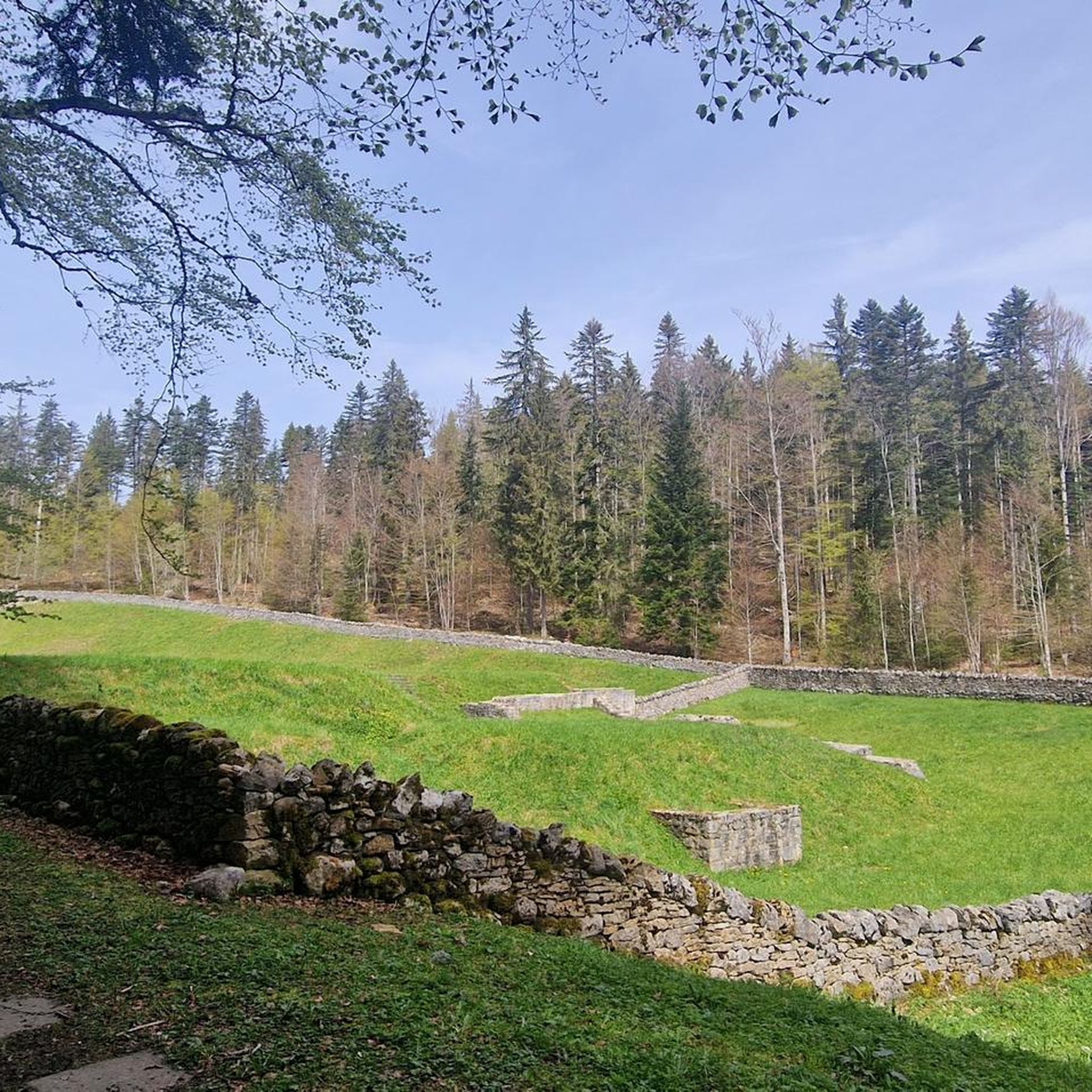
While the immediate mountaineering routes focus on natural landscapes, the broader region around Givrins is rich in history. You can explore sites like the Ruins of the Notre-Dame d'Oujon Charterhouse or visit Château de Prangins, which are accessible within a reasonable distance from the mountaineering areas.
Most popular routes around Givrins
Most popular attractions around Givrins

Get inspired with the komoot mobile app


Explore more
Browse the best Mountain Hikes & Routes in other regions.
