The best mountain hikes around Coinsins
5.0
(1)
44
hikers
6
hikes
Mountaineering routes around Coinsins are situated in the Jura mountain range, offering varied terrain for exploration. The region is characterized by its forested slopes, open mountain pastures, and the prominent peak of La Dôle. These routes often feature significant elevation changes, leading to panoramic views across the landscape.
Best mountaineering routes around Coinsins
- The most popular mountaineering route is La Dôle loop from Les Pralies, a 9.3 miles (14.96 km) difficult trail that takes 5 hours 1 minute to…
Last updated: October 7, 2026
10
hikers
15.4km
05:07
670m
670m
Hard mountaineering route. Very good fitness required. Mostly accessible paths. Sure-footedness required.
5.0
(1)
10
hikers
9.69km
03:15
450m
450m
Moderate mountaineering route. Good fitness required. Mostly accessible paths. Sure-footedness required.

10
hikers
13.8km
04:48
660m
660m
Moderate mountaineering route. Good fitness required. Mostly accessible paths. Sure-footedness required.
3
hikers
6.46km
02:22
350m
350m
Moderate mountaineering route. Good fitness required. Mostly accessible paths. Sure-footedness required.
5
hikers
19.4km
06:15
710m
710m
Hard mountaineering route. Very good fitness required. Sure-footedness, sturdy shoes and alpine experience required.
Our route recommendations are based on thousands of hikes, rides, and runs completed by other people on komoot.
Start today with a free account
Your next adventure awaits.
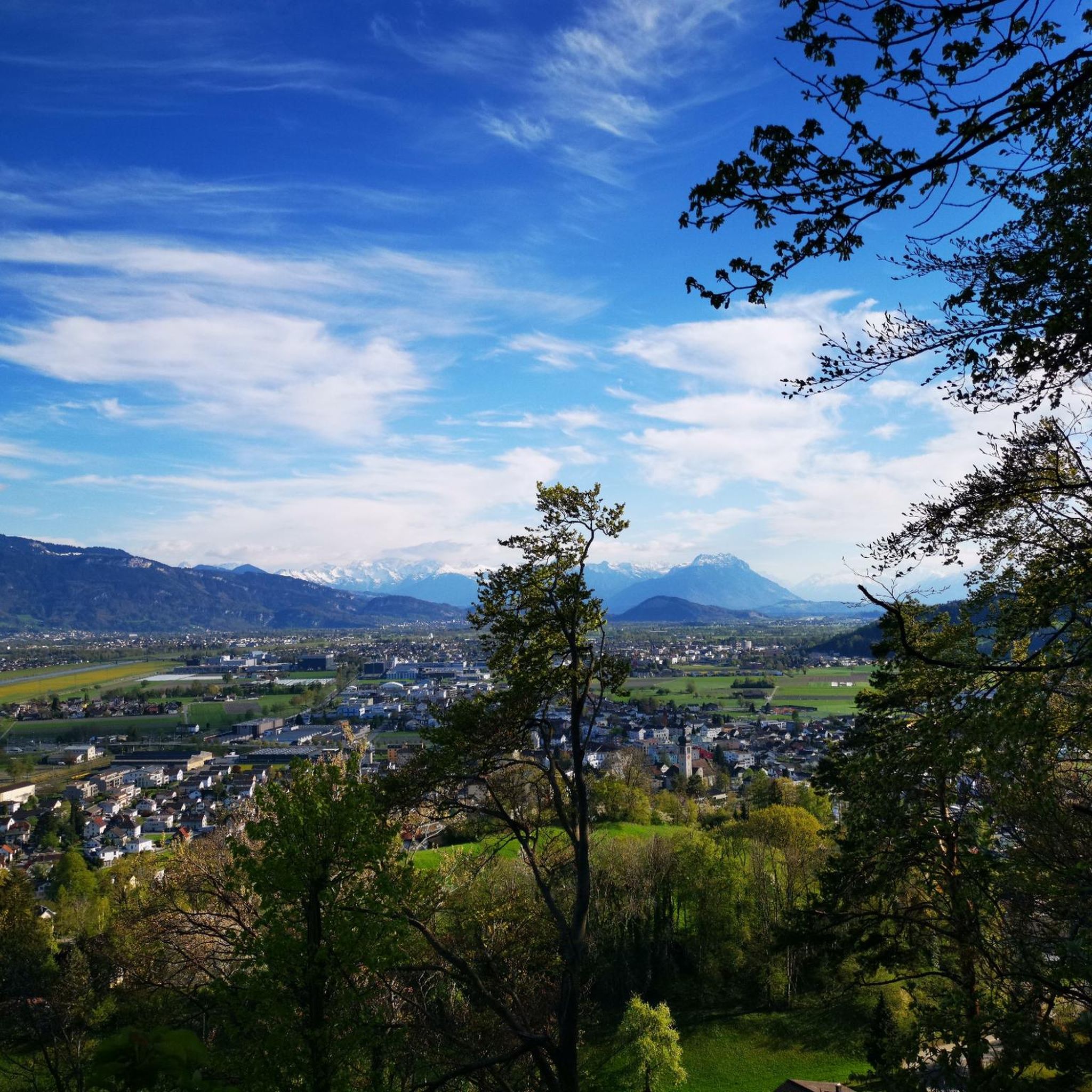
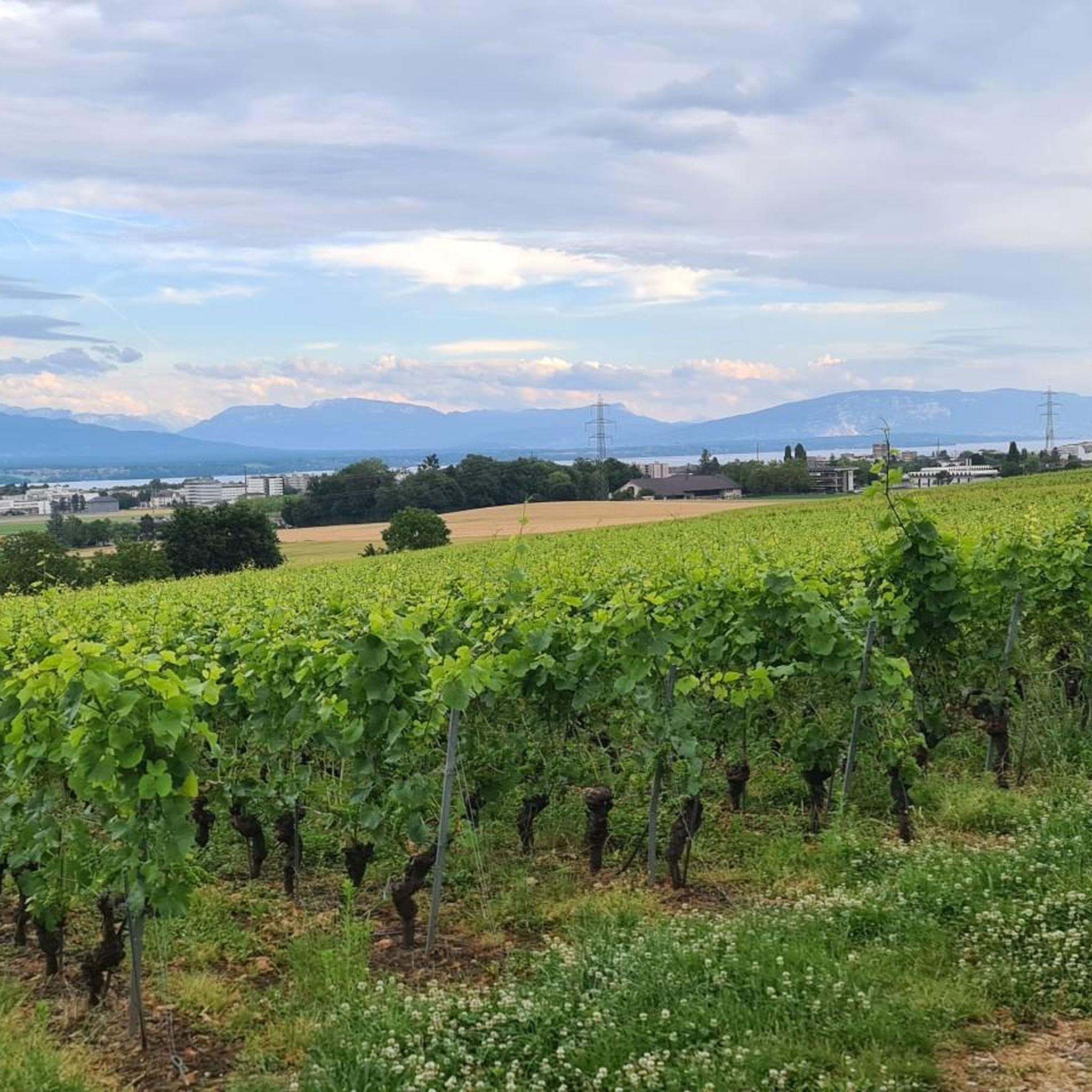
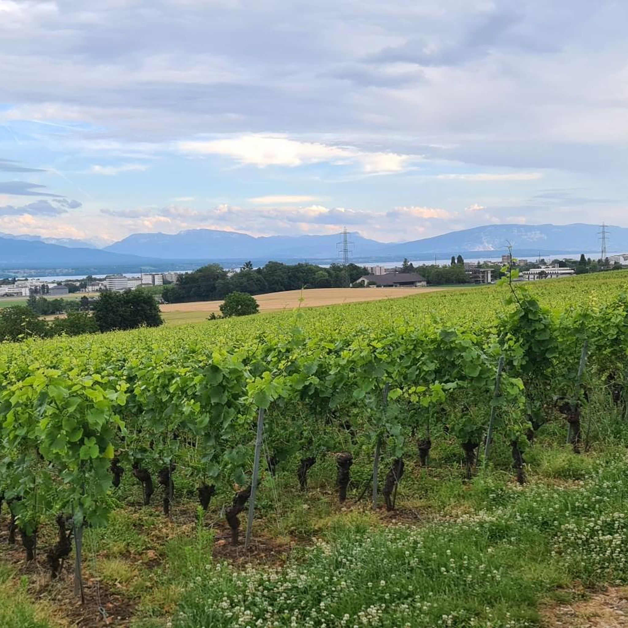
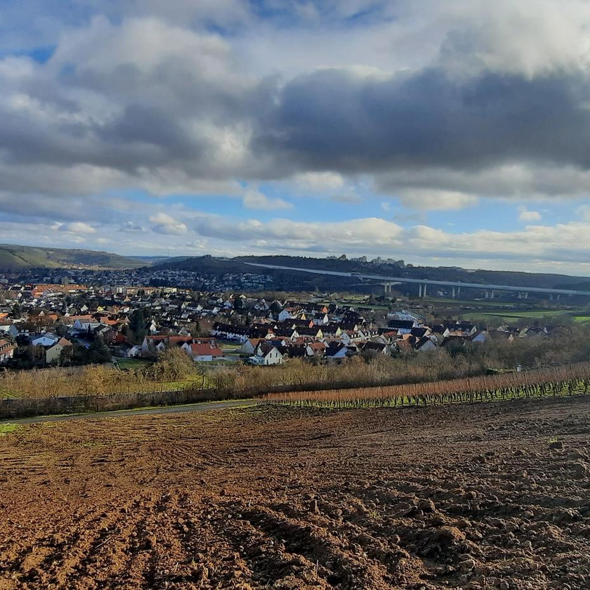
Tips from the Community

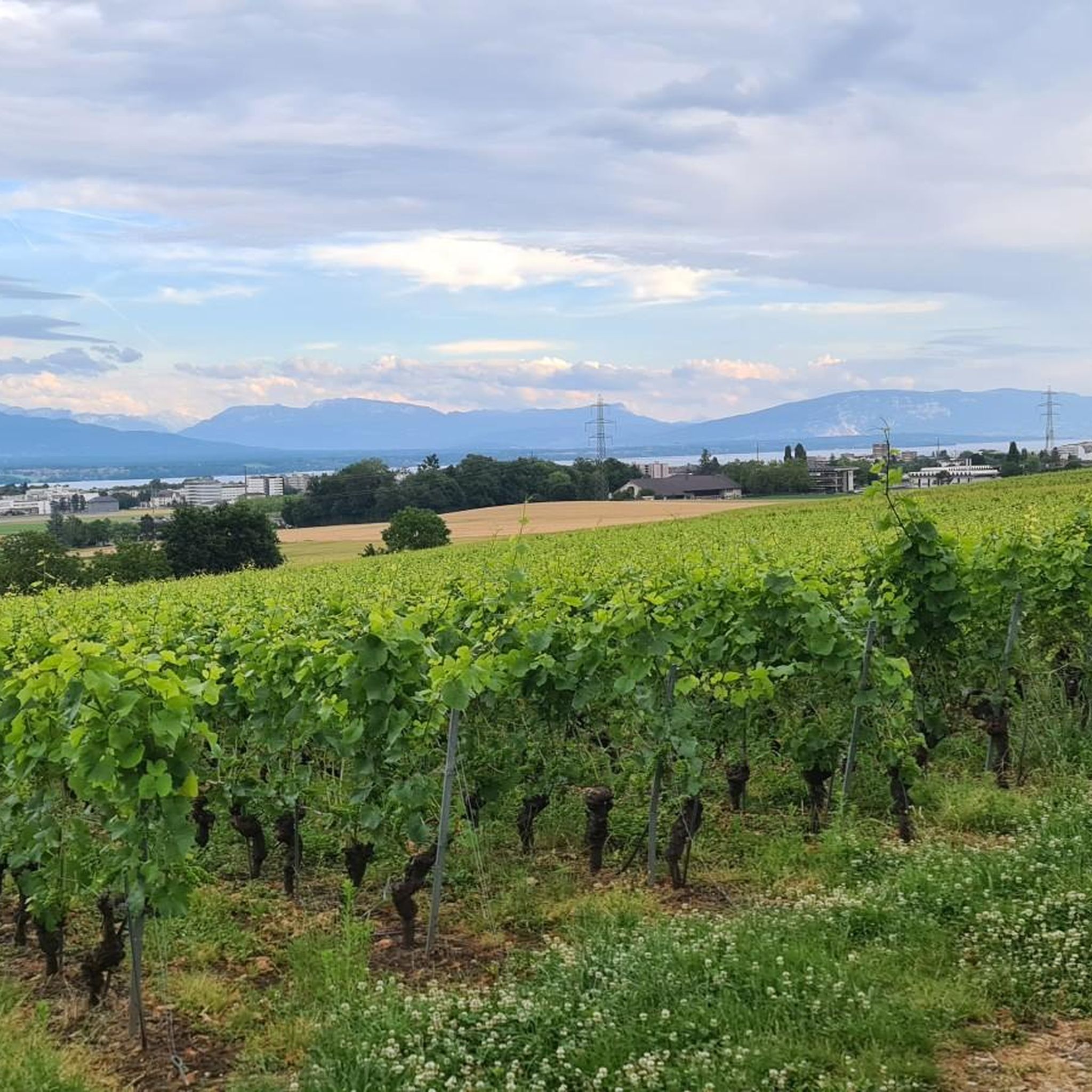
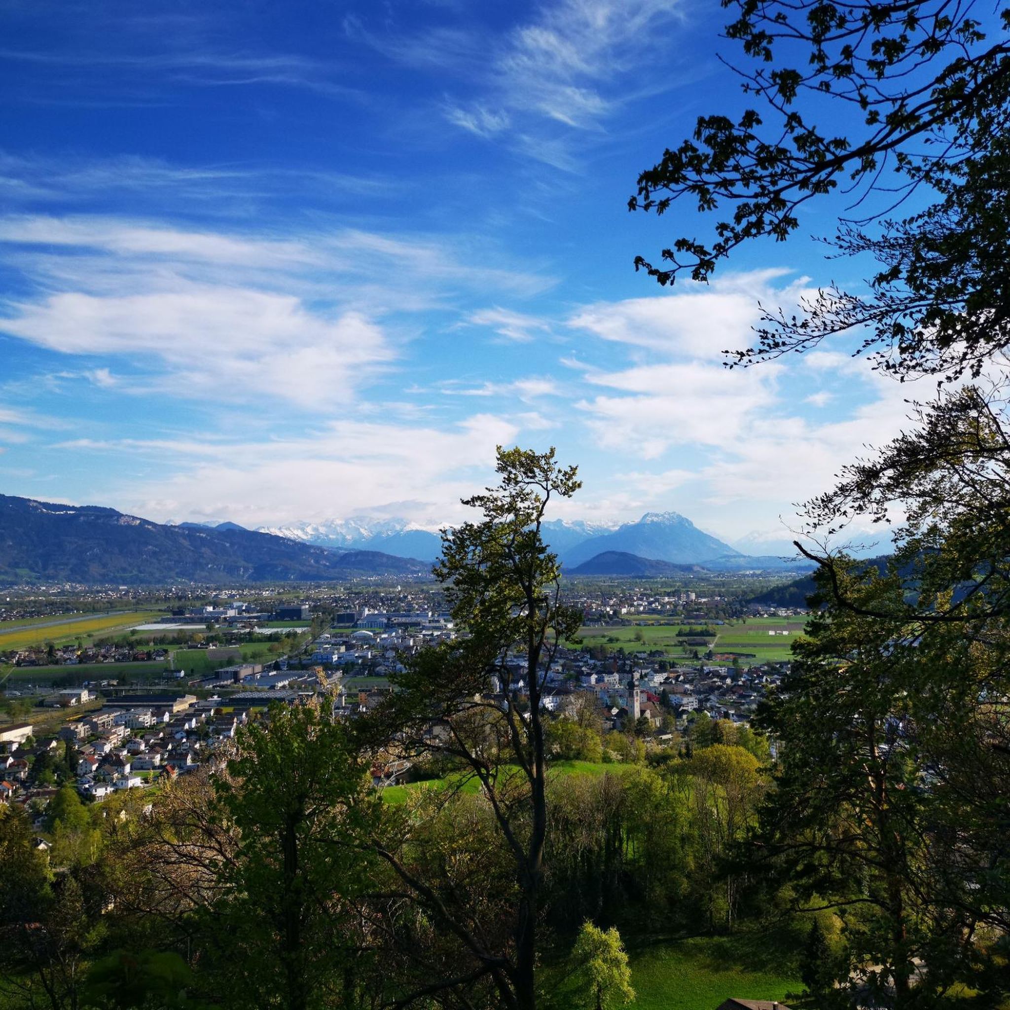
Amazing views of the Alps - a huge panorama!
0
0

View of Mt. Blanc between the trees
0
0

steep climb, walking shoes recommended: the view is worth the effort
0
0

Greenery, small trail path, wild nature, everything is there to enjoy a breath of fresh air
1
0

Magnificent view of the summit. Early in the morning, the material gondola is in operation
0
0

Beautiful section of the Jura Ridge Trail
5
1
Beautiful mountain range with a wonderful panorama
5
1
Frequently Asked Questions
How many mountaineering routes are available around Coinsins?
There are 7 mountaineering routes around Coinsins, offering a variety of experiences within the Jura mountain range. These routes range from moderate to difficult in terms of challenge.
Are there any easy mountaineering routes suitable for beginners near Coinsins?
While the routes around Coinsins are generally rated moderate to difficult, some of the moderate options can be suitable for beginners with a good level of fitness. For example, the Chalet de la Combe Gelée loop from Saint-Cergue is shorter at 3.8 miles (6.18 km) and offers a good introduction to the area's terrain.
What are some options for more experienced mountaineers looking for a challenge?
Experienced mountaineers will find several challenging routes. The La Dôle loop from Les Pralies is a difficult 9.3-mile (14.96 km) trail with significant elevation gain, offering sustained climbing through mountain terrain. Another demanding option is the Col de Porte (Jura) – La Dôle Summit loop from Les Cheseaux, which is also rated difficult.
Can I find circular mountaineering routes in the Coinsins area?
Yes, several routes around Coinsins are circular. Popular options include the La Dôle loop from Les Pralies, the View of La Dôle Summit – La Dôle Summit loop from Les Cheseaux, and the shorter Chalet de la Combe Gelée loop from Saint-Cergue.
What is the best time of year to go mountaineering around Coinsins?
The best time for mountaineering around Coinsins is typically from late spring through early autumn (May to October). During these months, the trails are generally free of snow, and the weather is more stable, offering pleasant conditions for exploring the Jura mountains. Always check local weather forecasts before heading out.
Are the mountaineering trails around Coinsins dog-friendly?
Many trails in the Jura region, including those around Coinsins, are generally dog-friendly. However, it's always recommended to keep dogs on a leash, especially when passing through pastures with livestock or in nature reserve areas. Ensure your dog is fit enough for the chosen route and carry enough water for both of you.
What kind of scenic viewpoints can I expect on these routes?
The mountaineering routes around Coinsins, particularly those ascending La Dôle, offer panoramic views. You can expect vistas across the Jura mountain range, the Swiss Plateau, and on clear days, even glimpses of the distant Alps. Routes like the View of La Dôle Summit – La Dôle Summit loop from Les Cheseaux are specifically highlighted for their summit views.
Are there any family-friendly mountaineering options near Coinsins?
For families, consider shorter moderate routes that offer a taste of the mountain environment without excessive difficulty. The Chalet de la Combe Gelée loop from Saint-Cergue is a good option, being 3.8 miles (6.18 km) long and passing through forested areas and mountain chalets, making it a more manageable outing for active families.
How can I access the mountaineering routes around Coinsins by public transport?
Access to some trailheads, particularly those closer to larger villages like Saint-Cergue, can be achieved via public transport. Saint-Cergue is a known access point in the Jura and may offer bus or train connections from larger towns. From there, you might be able to reach trailheads for routes such as the Chalet de la Combe Gelée loop. It's advisable to check local public transport schedules for specific connections to your chosen starting point.
Where can I park when planning a mountaineering trip in Coinsins?
Parking is typically available at or near the main trailheads for mountaineering routes in the Coinsins area. For routes starting from locations like Les Pralies or Les Cheseaux, you will usually find designated parking areas. Some parking might be paid, especially during peak season. Always look for official parking signs and respect local regulations.
What are some interesting places to explore near the mountaineering routes?
Beyond the trails, the region offers historical and natural attractions. You can explore the medieval charm of Yvoire Medieval Village or visit historical sites like Rolle Castle and Château de Prangins. For those interested in history, the Ruins of the Notre-Dame d'Oujon Charterhouse are also nearby.
What do other mountaineers say about the routes in Coinsins?
The mountaineering routes around Coinsins are highly rated by the komoot community, with an average score of 5.0 stars. Mountaineers often praise the varied terrain, the challenging ascents, and the rewarding panoramic views from peaks like La Dôle, highlighting the natural beauty of the Jura mountain range.
Are there any less crowded mountaineering routes around Coinsins?
While specific crowd data isn't available, generally, longer and more difficult routes tend to be less crowded than shorter, more accessible ones. To potentially avoid crowds, consider routes like the Nyon Ski Club Hut – Col de Porte (Jura) loop from Les Cheseaux, especially during off-peak hours or weekdays.
Most popular routes around Coinsins
Most popular attractions around Coinsins

Get inspired with the komoot mobile app


Explore more
Browse the best Mountain Hikes & Routes in other regions.
