The best running trails in Andrijevica
5.0
(2)
93
runners
2
runs
Jogging in Andrijevica offers diverse terrain across Montenegro's natural landscapes. The region features impressive mountain ranges like Komovi and Bjelasica, providing varied paths from challenging ascents to moderate trails. The Lim River flows through the area, offering serene riverside running routes, while the nearby National Park Biogradska Gora presents ancient forests for immersive nature runs. This combination of forests, rivers, and mountains ensures a range of experiences for runners.
Best jogging routes in Andrijevica
- The most popular jogging route is…
Last updated: August 27, 2026
5.0
(1)
32
runners
3.28km
00:24
30m
40m
Easy run. Great for any fitness level. Mostly paved surfaces. Suitable for all skill levels.
20
runners
9.35km
01:14
370m
360m
Hard run. Very good fitness required. Mostly paved surfaces. Suitable for all skill levels.

Sign up for free
5.0
(1)
19
runners
12.0km
01:42
620m
620m
Hard run. Very good fitness required. Mostly paved surfaces. Suitable for all skill levels.
Our route recommendations are based on thousands of hikes, rides, and runs completed by other people on komoot.
Start today with a free account
Your next adventure awaits.
Login or Signup
Popular around Andrijevica
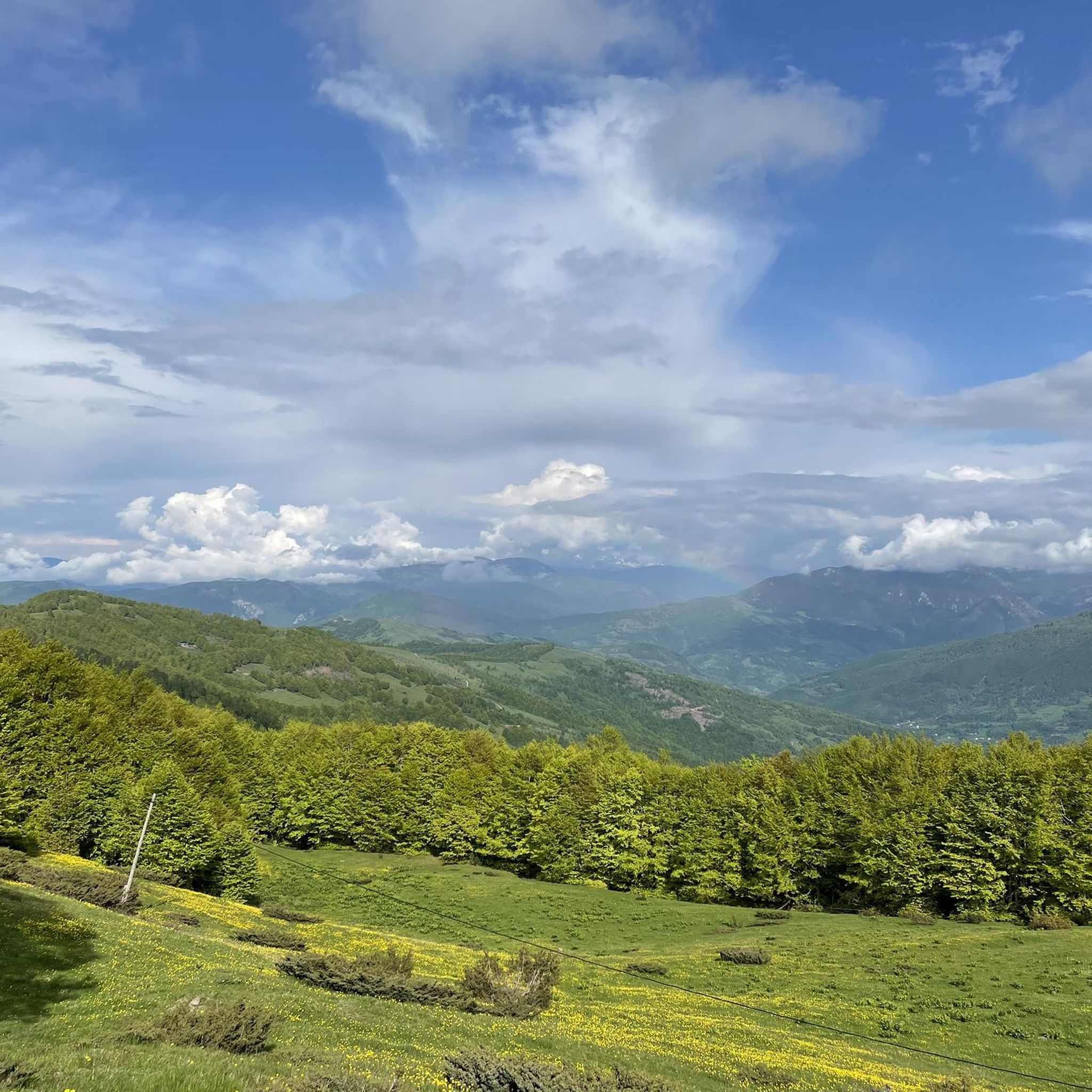
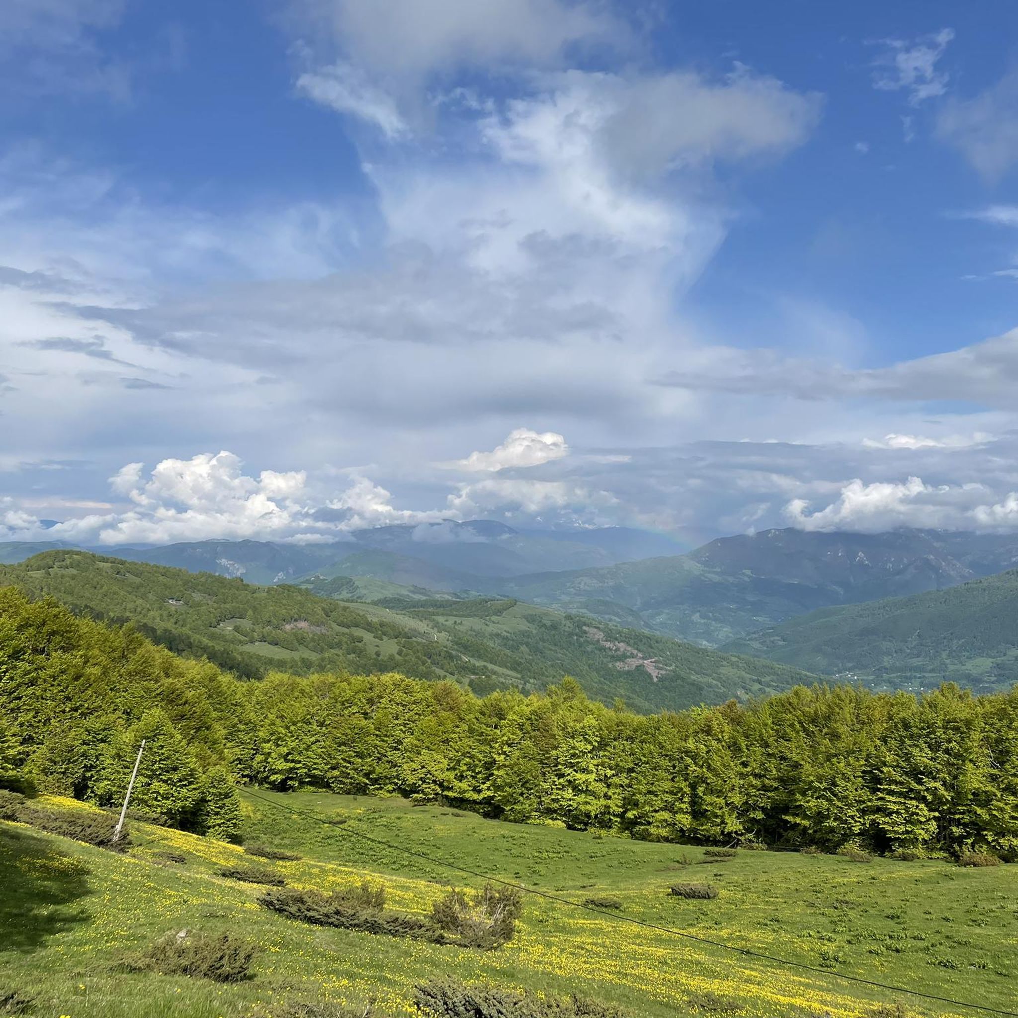
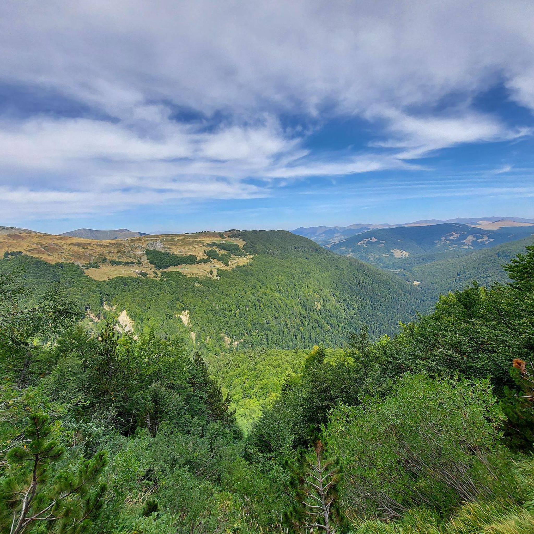

Tips from the Community

Great rainforest. You should allow at least 1 hour for the circular route and wear sturdy shoes. The path is not difficult, but sandals are not enough.
0
0
Nice place if you walk around the lake. Takes about 1 hour. You should wear sturdy shoes, the path is partly rocky.
0
0

It's worth the effort to get this view.
0
0

There is an easy, scenic path around the lake that can easily be completed in 2 hours
1
0
From the small rest hut you have a beautiful view of the lake... the small hill in front of it is normally a small island, but you can currently reach it on foot
1
0
Nice view of a part of the lake... The last time I was there, there was still water here, but currently there is more and more drought here, which leads to a reduction in the water level
1
0

The beautiful bridge allows safe crossing of the mostly dry river bed. :p
1
0
Frequently Asked Questions
How many running routes are available in Andrijevica?
Komoot currently lists a selection of running routes in Andrijevica, offering diverse experiences for joggers. You can find options ranging from easy loops to more challenging mountain ascents.
What kind of terrain can I expect on jogging trails in Andrijevica?
Jogging in Andrijevica offers a rich variety of terrain. You'll find serene riverside routes along the Lim River, paths through ancient forests in areas like National Park Biogradska Gora, and challenging trails with significant elevation gain in the surrounding Komovi and Bjelasica Mountains. Many routes feature mostly paved surfaces, but mountain paths will be more rugged.
Are there any easy or beginner-friendly running routes in the region?
Yes, Andrijevica offers easy routes suitable for beginners or those seeking a gentle run. For example, the Stone carving of a bear head loop from Biogradsko jezero is an easy 2.0-mile (3.3 km) trail that provides a gentle path through natural surroundings.
Where can I find challenging running trails with significant elevation gain?
For a more challenging experience, Andrijevica's mountain ranges provide excellent options. The Bendovac – Katun Dolovi Lalevica loop from Biogradsko jezero is a difficult 7.1-mile (11.4 km) path featuring substantial elevation gain and varied mountain terrain. Another option is the Running loop from Kolašin, which is 5.9 miles (9.5 km) through mountain landscapes.
What natural features or landmarks can I see while running in Andrijevica?
Andrijevica is rich in natural beauty and interesting landmarks. Along your runs, you might encounter the majestic Komovi Mountains, the serene Lim River, or the ancient forests of National Park Biogradska Gora. Notable highlights in the area include the Trešnjevik Pass, Stavna Ethno Village, and a bench with a view of the Komovi Mountains.
Are there any circular or loop running routes available?
Yes, several running routes in Andrijevica are designed as loops, offering a convenient way to explore without retracing your steps. Examples include the easy Stone carving of a bear head loop from Biogradsko jezero and the more difficult Bendovac – Katun Dolovi Lalevica loop from Biogradsko jezero.
What do other runners say about the trails in Andrijevica?
The running routes in Andrijevica are highly rated by the komoot community, with an average score of 5.0 stars. Runners often praise the diverse terrain, the stunning natural landscapes, and the immersive experience in nature away from urban hustle.
Is Andrijevica suitable for family-friendly jogging or running with children?
Andrijevica offers routes that can be enjoyed by families. The easier, shorter loops, particularly those with mostly paved surfaces or gentle paths through natural surroundings like the Stone carving of a bear head loop from Biogradsko jezero, are great options for a family outing.
Can I bring my dog on the running trails in Andrijevica?
While specific regulations for each trail may vary, many natural outdoor areas in Montenegro, including those around Andrijevica, are generally dog-friendly. It's always advisable to keep your dog on a leash, especially in national parks or areas with wildlife, and to clean up after them.
What is the best time of year for running in Andrijevica?
The best time for running in Andrijevica is typically during the spring, summer, and early autumn months. These seasons offer pleasant temperatures and lush scenery. While winter running is possible, higher mountain passes like Trešnjevik may be covered in snow, requiring appropriate gear and caution.
Are there any specific starting points or parking areas for the running routes?
Many routes, particularly those around Biogradsko jezero, often have designated parking areas nearby. For example, routes like the Stone carving of a bear head loop and the Bendovac – Katun Dolovi Lalevica loop start from Biogradsko jezero, which is a common access point for the National Park Biogradska Gora. For routes starting from Kolašin, parking would be available in or around the town.
Are there any running routes that offer views of the Komovi Mountains?
Absolutely. The Andrijevica region is surrounded by the impressive Komovi Mountains, and many trails offer spectacular vistas. You can find viewpoints like the Bench with a view of the Komovi Mountains, which provides an ideal spot to take in the high-alpine range during your run.
Most popular attractions in Andrijevica

Get inspired with the komoot mobile app


Explore more
Browse the best Running Trails & Routes in other regions.
