The best mountain hikes in Rhein-Pfalz-Kreis
5.0
(2)
6
hikers
4
hikes
Mountaineering routes in Rhein-Pfalz-Kreis traverse a landscape characterized by rolling hills, dense woodlands, and historical sites. The region, part of the Palatinate, offers varied terrain suitable for different skill levels, often featuring views of vineyards and the Rhine plain. Elevations are generally moderate, providing accessible yet engaging ascents through forested areas and past cultural landmarks.
Best mountaineering routes in Rhein-Pfalz-Kreis
- The most popular mountaineering route is Wachtenburg Castle Ruins – St. Michael's Chapel, Deidesheim loop from Wachenheim (Pfalz), a…
Last updated: August 27, 2026
5.0
(1)
2
hikers
Moderate mountaineering route. Good fitness required. Easily-accessible paths. Suitable for all skill levels.
1
hikers
Moderate mountaineering route. Good fitness required. Easily-accessible paths. Suitable for all skill levels.

Sign up for free
5.0
(1)
3
hikers
Easy mountaineering route. Great for any fitness level. Easily-accessible paths. Suitable for all skill levels.
5.83km
01:34
70m
70m
Easy mountaineering route. Great for any fitness level. Easily-accessible paths. Suitable for all skill levels.
Our route recommendations are based on thousands of hikes, rides, and runs completed by other people on komoot.
Start today with a free account
Your next adventure awaits.
Login or Signup
Popular around Rhein-Pfalz-Kreis
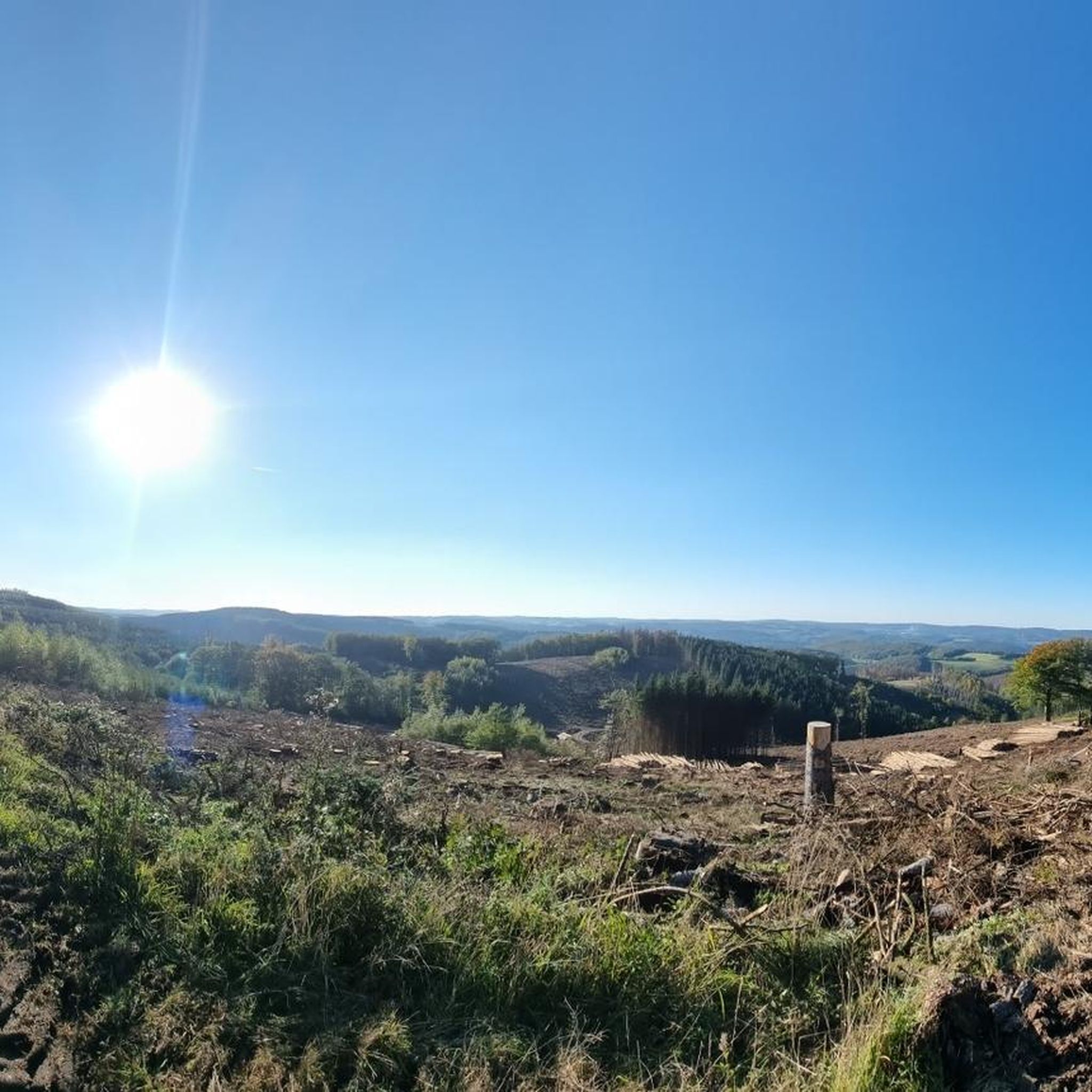
Mountain Hikes around Speyerer Forest

Mountain Hikes around Rödersheim-Gronau
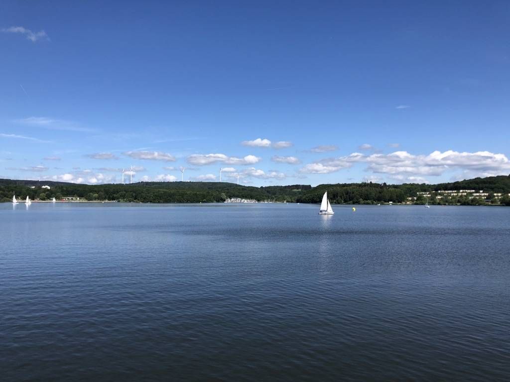
The best swimming lakes in Rhineland Palatinate and Saarland
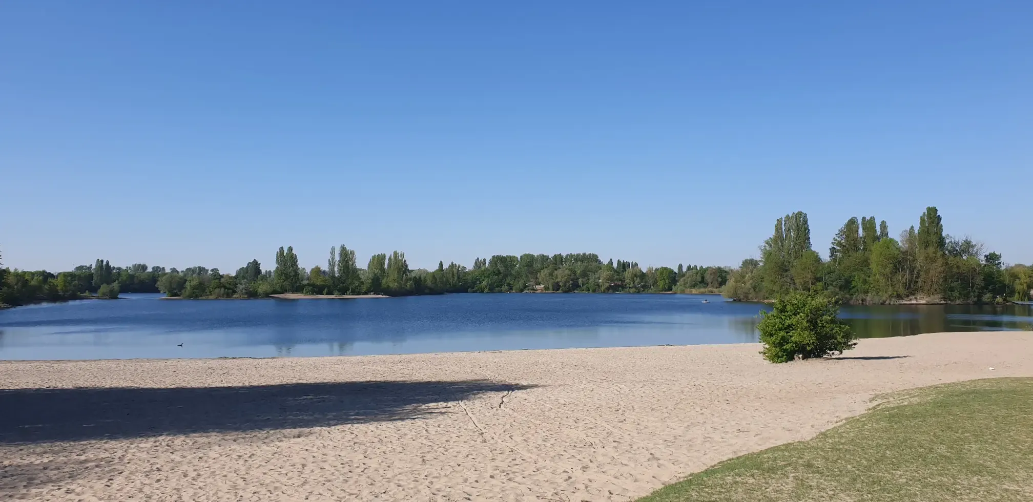
Jump right in! Swimming lakes in the Rhine-Neckar Triangle
Cycling in Rhein-Pfalz-Kreis
Hiking in Rhein-Pfalz-Kreis
Road Cycling Routes in Rhein-Pfalz-Kreis
Running Trails in Rhein-Pfalz-Kreis
MTB Trails in Rhein-Pfalz-Kreis

Gravel biking in Rhein-Pfalz-Kreis


Tips from the Community

Especially interesting if you have read something about it
0
0

From the castle tower, you have a magnificent view in all directions. The climb is definitely worth it. Afterwards, the Palatinate spritzer from the castle tavern tastes even better.
1
0

The plant was built at Burgstrasse 17 and put into operation in 1892. https://www.swwachenheim.de/strom-infos.html
2
0
The existence of a parish in Wachenheim is believed to have existed since around the 9th century. In 1341 Wachenheim was granted town rights. A late Gothic choir tower church with a three-story tower and a pointed roof is known from a Merian engraving. In 1674 the building was destroyed in the Dutch War and was not rebuilt until 1686. In 1689 the town, the Wachtenburg and the church were destroyed in the War of the Palatinate Succession. In 1711 the reconstruction of the church was completed. In 1715 the dividing wall was built, separating the choir and tower from the nave. In 1859 the nave was demolished and then rebuilt in the neo-Gothic style. Excerpts from https://de.wikipedia.org/wiki/St._Georg_(Wachenheim) I was able to visit the Protestant part of the nave.
2
0

There are many places with a beautiful view of the Wachtenburg
2
0

The Pechsteinkopf, rarely also Bechsteinkopf, is a mountain in the Palatinate (Rhineland-Palatinate) that reaches a height of 355.2 m above sea level. https://de.wikipedia.org/wiki/Pechsteinkopf
0
0
The ring wall is still clearly visible. It was probably built around 600 BC and probably protected a Celtic princely seat. One of the few information boards about it can be found here.
2
0

Frequently Asked Questions
How many mountaineering routes are available in Rhein-Pfalz-Kreis?
Rhein-Pfalz-Kreis offers a selection of 4 mountaineering routes, catering to various skill levels. These include 2 easy and 2 moderate trails, providing diverse options for exploring the region's landscapes.
What do other mountaineers enjoy most about the routes in Rhein-Pfalz-Kreis?
The mountaineering routes in Rhein-Pfalz-Kreis are highly rated by the komoot community, with an average score of 5.0 stars. Reviewers often praise the varied terrain, historical sites like castle ruins, and the scenic views of vineyards and the Rhine plain.
Are there any easy mountaineering routes suitable for beginners?
Yes, there are several easy routes. For a pleasant and accessible experience, consider the Sandgrube im Pflänzer loop from Monsheim. This route is 3.6 miles (5.8 km) long and features moderate elevation changes, making it ideal for those new to mountaineering.
Are there any family-friendly mountaineering options in Rhein-Pfalz-Kreis?
Many of the easy and moderate routes are suitable for families. The Stabenbergwarte Lookout Tower – Old Hunting Lodge Looganlage loop from Königsbach is an easy 3.5 miles (5.7 km) trail that offers interesting points like a lookout tower, which can be engaging for children.
Can I bring my dog on the mountaineering trails?
Generally, dogs are welcome on most mountaineering trails in Rhein-Pfalz-Kreis, provided they are kept on a leash and you clean up after them. Always check local regulations or specific trail signs for any restrictions before heading out. The forested paths are usually well-suited for walks with canine companions.
What kind of natural attractions can I expect to see along the routes?
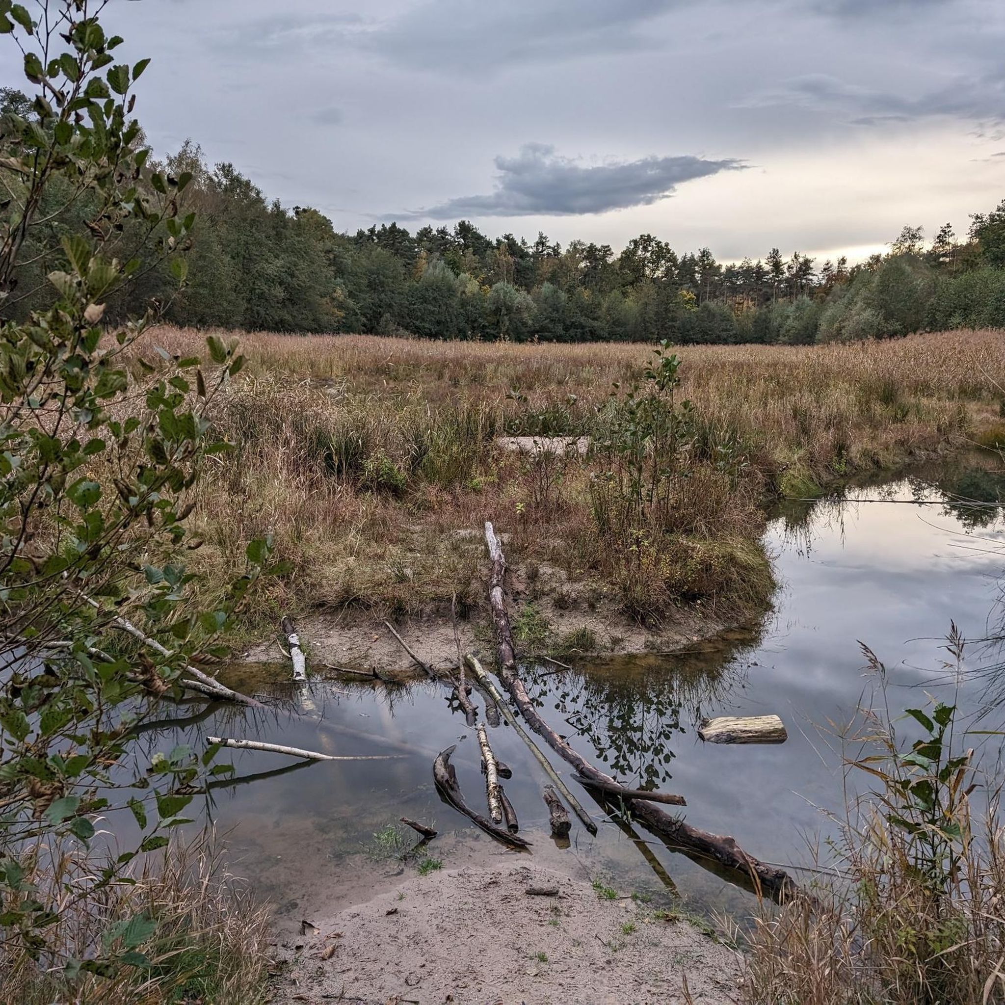
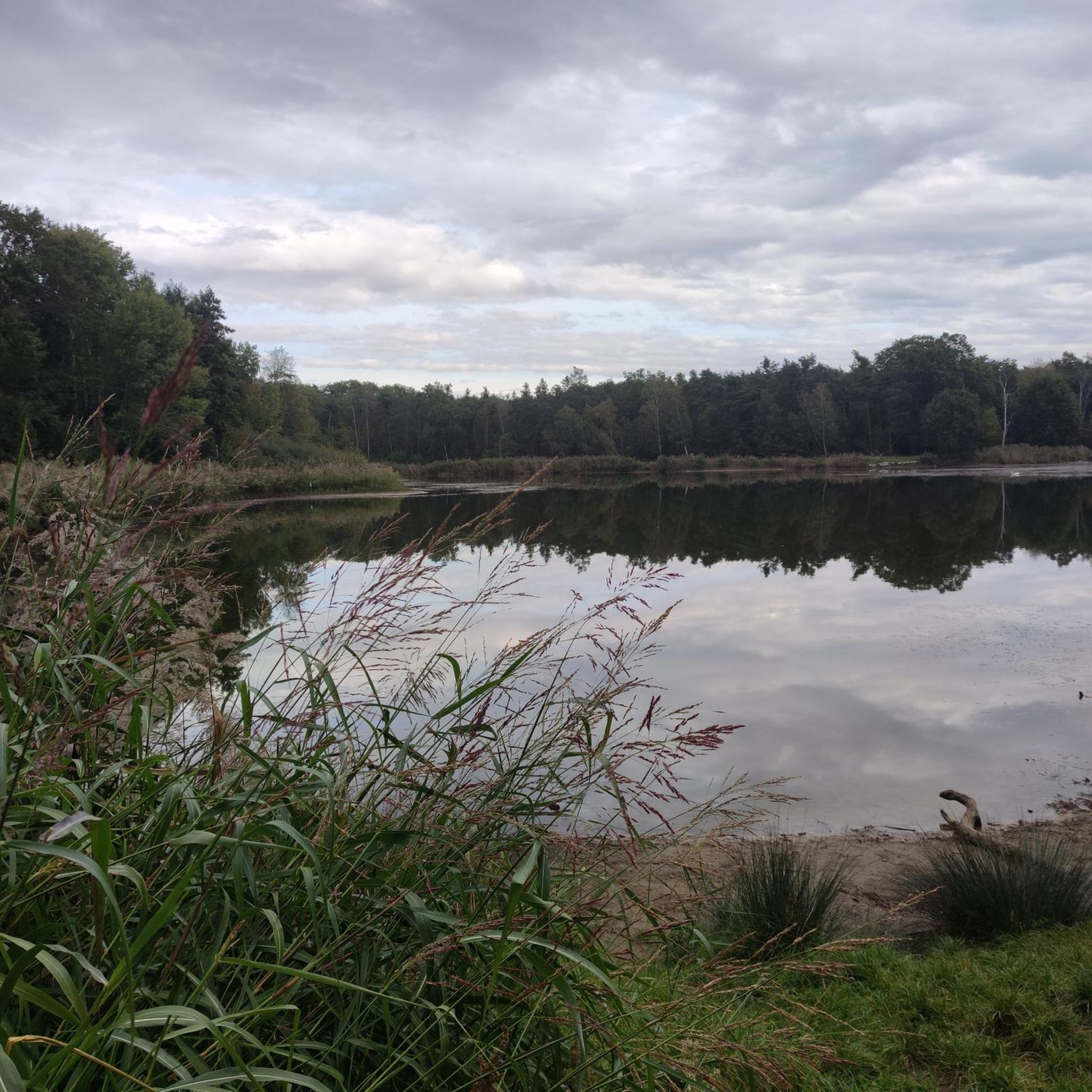
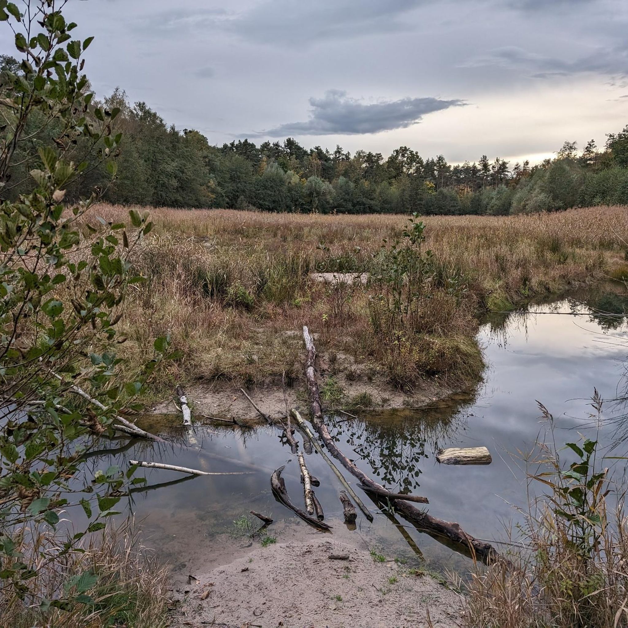
The region offers a mix of natural beauty. While mountaineering, you might encounter highlights such as the Silbersee Recreation Area or the tranquil Kräppelweiher. The routes often traverse dense woodlands and offer glimpses of the Old Rhine Floodplains.
Are there any routes that offer scenic viewpoints?
Many routes provide excellent views, especially those that ascend through the rolling hills. The St. Michael's Chapel, Deidesheim – View of Wachtenburg Castle loop from Deidesheim offers vistas of the surrounding area, including the historic Wachtenburg Castle. You can also find specific viewpoints like the European Bee-eater Observation Point at the Gravel Pit.
Are there any circular mountaineering routes in Rhein-Pfalz-Kreis?
Yes, all the mountaineering routes listed in this guide are circular loops, making them convenient for day trips. For example, the Schlagbaum Trail Junction – View of Limburg Abbey loop from Haardtrand - Am Schlammberg is a popular loop that takes you through varied forest terrain.
What is the best time of year for mountaineering in Rhein-Pfalz-Kreis?
Spring and autumn are generally considered the best times for mountaineering in Rhein-Pfalz-Kreis. The weather is usually mild, and the landscapes are particularly beautiful with blooming flowers or vibrant autumn foliage. Summer can also be pleasant, especially in the shaded forest sections, but be prepared for warmer temperatures.
Are there any routes accessible by public transport?
While many routes are best accessed by car, some starting points may be reachable via local bus services or train stations in nearby towns. It's advisable to check local public transport schedules for specific routes and their proximity to trailheads before planning your trip.
Are there any challenging mountaineering routes in the region?
The mountaineering routes in Rhein-Pfalz-Kreis are generally characterized by moderate elevations and forested hills. While there are no routes classified as 'difficult' in this guide, some moderate trails, such as the Wachtenburg Castle Ruins – St. Michael's Chapel, Deidesheim loop from Wachenheim (Pfalz), offer engaging ascents and longer distances for those seeking a more strenuous experience.
Can I find places to eat or drink along the mountaineering trails?
While specific cafes directly on every trail might be limited, many routes pass through or near charming villages like Deidesheim or Wachenheim (Pfalz), where you can find restaurants, cafes, and wineries to stop for refreshments or a meal. It's always a good idea to pack snacks and water, especially for longer excursions.
Most popular routes in Rhein-Pfalz-Kreis
Most popular attractions in Rhein-Pfalz-Kreis

Get inspired with the komoot mobile app


Didn’t find what you were looking for?
Check out more Mountain Hikes & Routes throughout Rhein-Pfalz-Kreis below and find the perfect route in your destination.
Explore more
Browse the best Mountain Hikes & Routes in other regions.
