The best mountain hikes around Eschenbach
5.0
(1)
10
hikers
2
hikes
Mountaineering routes around Eschenbach, located in Baden-Württemberg, Germany, offer diverse terrain for outdoor enthusiasts. The region is characterized by its varied landscape, including prominent cliffs, rocky outcrops, and forested hills. Elevations range from gentle ascents to more challenging climbs, providing opportunities to explore historical sites like castles and scenic viewpoints.
Best mountaineering routes around Eschenbach
- The most popular mountaineering route is Hausener Cliff – Hausen Rocks loop from Bad Überkingen, a 9.1 miles (14.7 km) trail that takes 4…
Last updated: July 3, 2026
4
hikers
14.6km
04:27
470m
470m
Moderate mountaineering route. Good fitness required. Easily-accessible paths. Suitable for all skill levels.
3
hikers
Moderate mountaineering route. Good fitness required. Easily-accessible paths. Suitable for all skill levels.

Sign up for free
2
hikers
10.5km
03:12
350m
350m
Moderate mountaineering route. Good fitness required. Easily-accessible paths. Suitable for all skill levels.
5.0
(1)
1
hikers
6.37km
01:38
30m
30m
Easy mountaineering route. Great for any fitness level. Easily-accessible paths. Suitable for all skill levels.
Our route recommendations are based on thousands of hikes, rides, and runs completed by other people on komoot.
Start today with a free account
Your next adventure awaits.
Login or Signup
Tips from the Community

The Traufweg trail at the Michelberg always runs along the edge of the Tafelberg. Those who are not afraid of heights can repeatedly enjoy deep views from the battlements of the Hausener Wand into the valley.
1
0

Fortunately not. Imagine if there were signs and railings at all the dangerous spots on the Alb. Then not much would be left of the Alb. Recently, near Bad Urach, I was alerted by a sign that there are forest dangers in the woods. Very disturbing.
0
0

Small bridge with a little bench
0
0
Super beautiful singletrack to the Hausener Wand
1
0
Always be careful not to step too close to the edge! There are neither railings nor warning signs, just a steep drop...
0
0

Herons love this lake and are easily observed here.
0
0

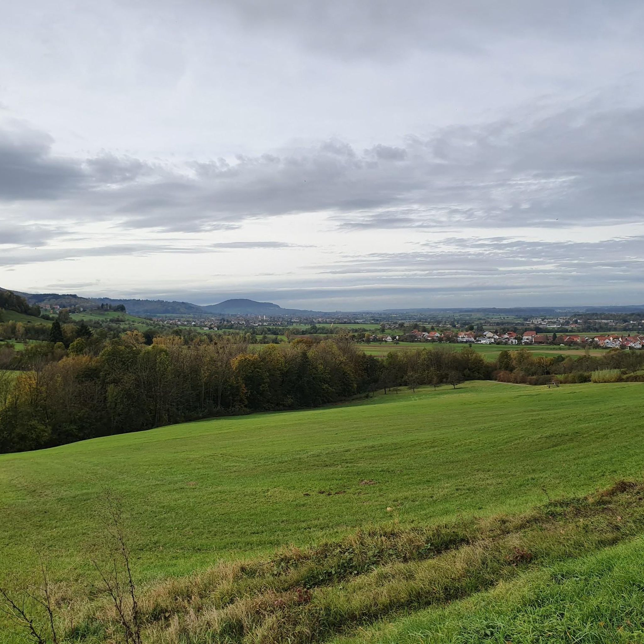
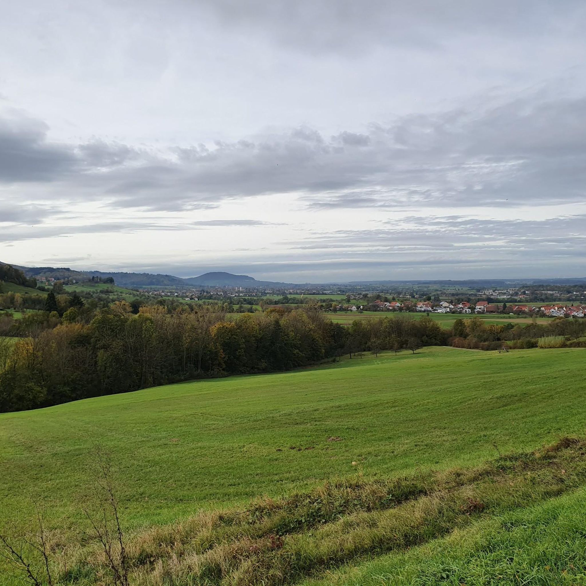
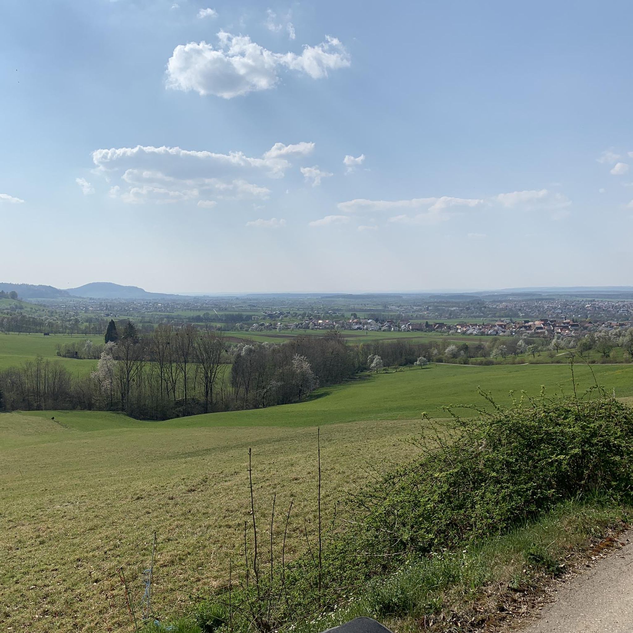
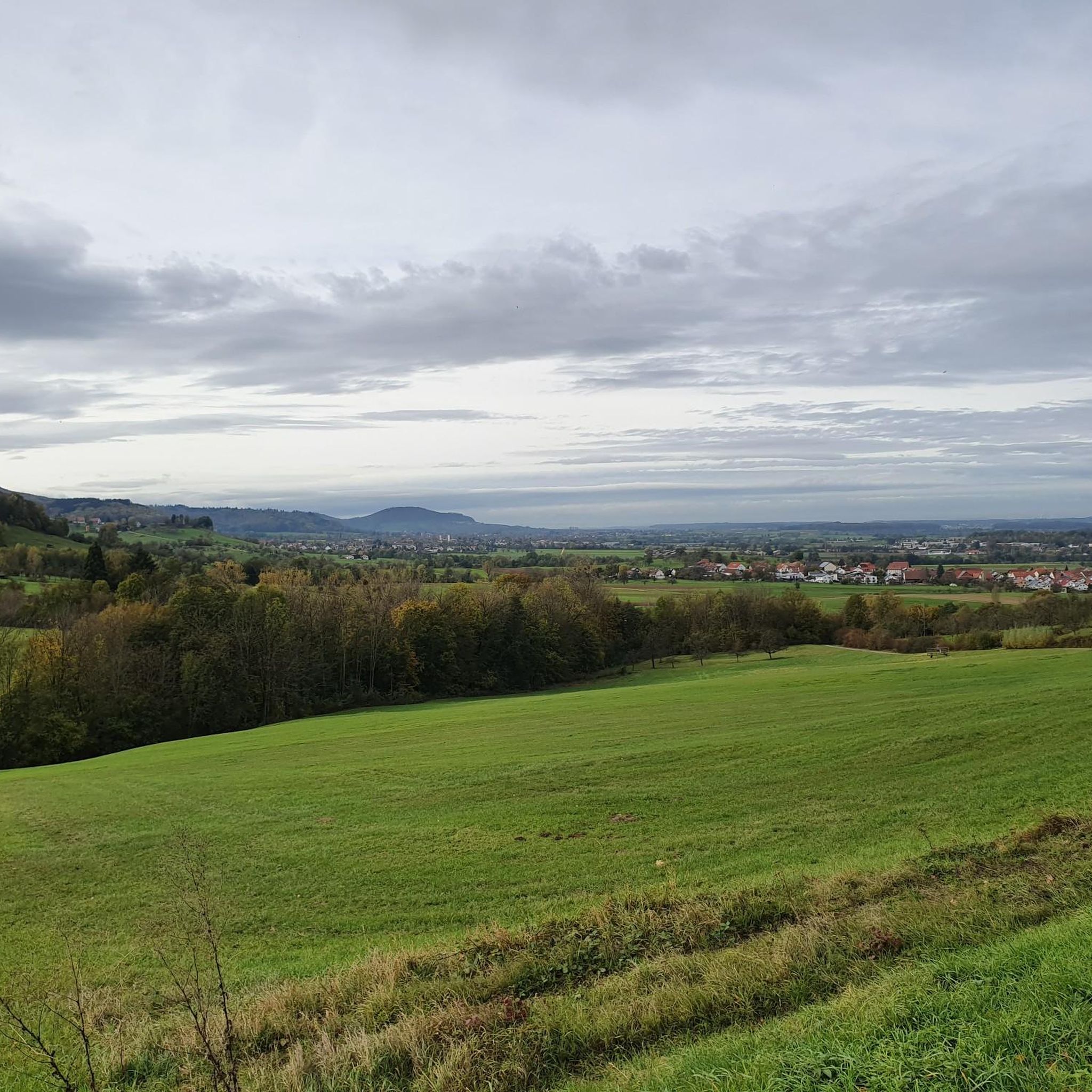
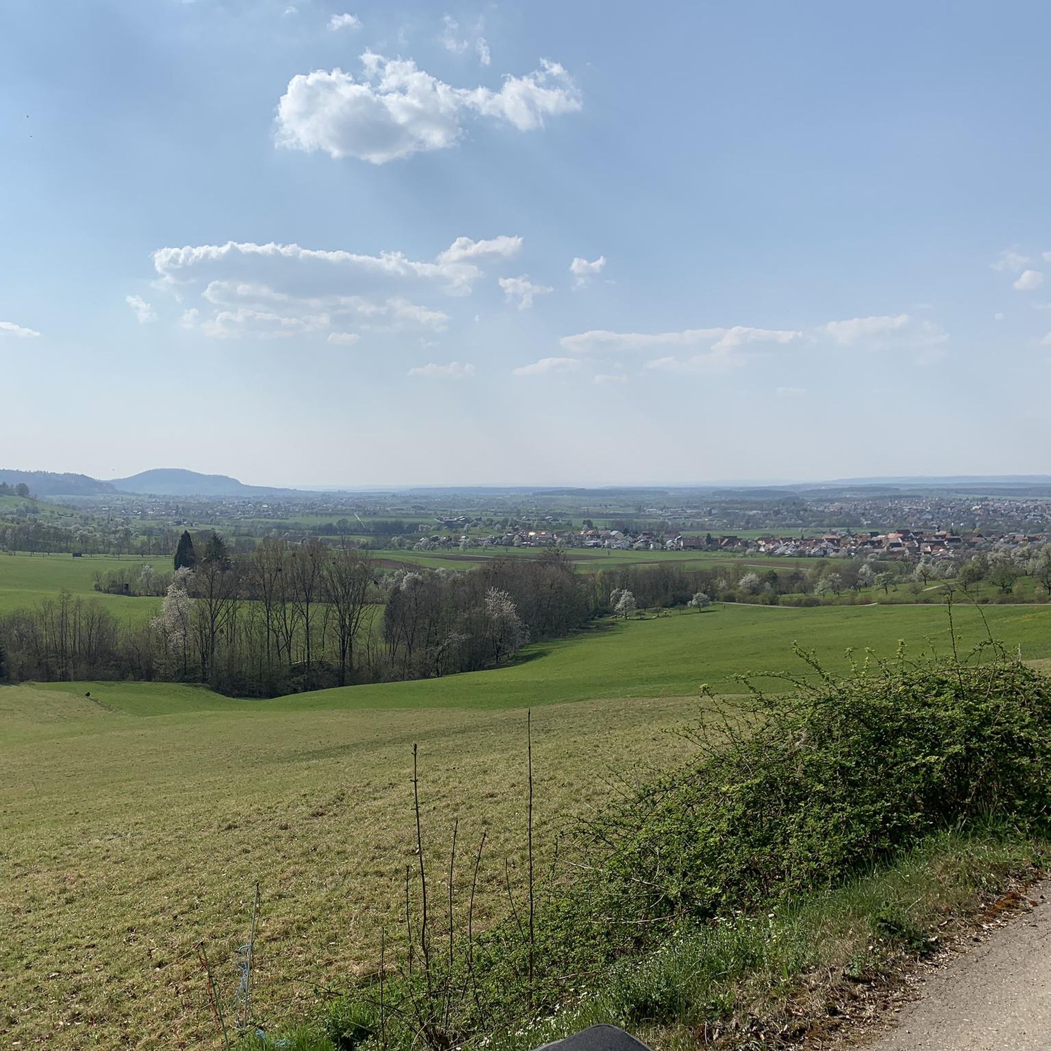
The Boßler is a prominent mountain in the Swabian Alps near Gruibingen, rising to 794.7 meters above sea level. From its vantage point on the edge of the Alb plateau, a sweeping view opens up across the Alb foothills – on a clear day, this extends far to the west. A large memorial cross also stands here, commemorating several tragic aircraft crashes that have occurred in the region since the 1940s.
4
0

Great rest areas 😊 ideal for a short break
1
0
Frequently Asked Questions
How many mountaineering routes can I explore around Eschenbach?
The Eschenbach region in Baden-Württemberg, Germany, offers a variety of mountaineering experiences. While this guide highlights several popular options, komoot features a broader network of routes for you to discover, catering to different skill levels.
Are there any easy mountaineering routes suitable for beginners in Eschenbach?
Yes, Eschenbach offers routes suitable for those new to mountaineering. For instance, the Filseck Castle – Lake Charlotte loop from Uhingen is an easy 4-mile (6.4 km) path with minimal elevation gain, perfect for a relaxed introduction to the area's landscapes.
Can I find circular mountaineering trails in the Eschenbach area?
Absolutely. Many of the routes around Eschenbach are designed as loops, allowing you to start and end at the same point. A great example is the Hausener Cliff – Hausen Rocks loop from Bad Überkingen, which is a moderate 9.1-mile (14.7 km) trail featuring significant elevation changes and notable rock formations.
What kind of natural attractions can I expect to see on these routes?
The mountaineering routes around Eschenbach are rich in natural beauty. You can encounter impressive rock formations like the Hausener Rock Face, explore gorges such as the Autal Valley, and even discover waterfalls like the Waterfall at Teufelbach.
Are there any historical landmarks or points of interest along the mountaineering trails?
Yes, the region combines natural beauty with historical significance. You can explore routes that pass by historic sites such as Hohenstaufen Castle Ruins, offering panoramic views, or the scenic Wäscher Castle – View from Hohenstaufen Summit loop from Wäschenbeuren.
What is the best time of year for mountaineering in Eschenbach?
The best time for mountaineering in Eschenbach, Baden-Württemberg, is typically from spring through autumn (April to October). During these months, the weather is generally milder, and the trails are clear, offering optimal conditions to enjoy the region's diverse landscapes, from forested hills to rocky outcrops.
Are the mountaineering routes around Eschenbach suitable for families?
Many routes around Eschenbach can be enjoyed by families, especially those with varying difficulty levels. Consider easier, shorter loops that allow for breaks and exploration of natural features. Always check the specific route's distance and elevation to ensure it matches your family's capabilities.
Are dogs allowed on the mountaineering trails in Eschenbach?
Generally, dogs are welcome on most public hiking and mountaineering trails in Baden-Württemberg, including around Eschenbach. However, it's always advisable to keep them on a leash, especially in nature reserves, near wildlife, or when passing through agricultural areas. Please respect local signage regarding dog access.
Where can I find parking near the trailheads in Eschenbach?
Many popular trailheads around Eschenbach, particularly those for routes like the Boßler – Bürg loop from Kurzer Wasen - Roter Wasen, offer designated parking areas. It's recommended to check the starting point of your chosen route on komoot for specific parking information and directions.
What do other mountaineers say about the routes in Eschenbach?
The mountaineering routes in Eschenbach are highly regarded by the komoot community, boasting an average rating of 5.0 stars. Users frequently praise the diverse terrain, from prominent cliffs to scenic viewpoints, and the well-maintained paths that offer a rewarding outdoor experience.
Are there any waterfalls to discover on the mountaineering routes?
Yes, the Eschenbach area features beautiful waterfalls that can be incorporated into your mountaineering adventures. The Autal Waterfall is a notable highlight, offering a refreshing stop amidst the region's natural landscapes.
What kind of wildlife might I encounter while mountaineering in Eschenbach?
The diverse forests and natural areas around Eschenbach are home to various wildlife. You might spot deer, foxes, and a wide array of bird species. Keep an eye out for local flora and fauna, especially in quieter sections of the trails.
Most popular routes around Eschenbach
Most popular attractions around Eschenbach

Get inspired with the komoot mobile app


Explore more
Browse the best Mountain Hikes & Routes in other regions.
