The best mountain hikes around Eislingen/Fils
5.0
(1)
6
hikers
4
hikes
Mountaineering routes around Eislingen/Fils are characterized by the diverse terrain at the edge of the Swabian Alb, featuring rolling hills, dense forests, and the meandering Fils River. The region offers elevated landscapes and mountain-like features, including the iconic Drei Kaiserberge. These routes often involve significant elevation changes, providing panoramic views across the Filstal and the broader Swabian Alb. The area is well-suited for mountain hiking and exploring elevated areas.
Best mountaineering routes around Eislingen/Fils
- The most popular mountaineering route is…
Last updated: October 6, 2026
3
hikers
14.3km
04:36
580m
580m
Moderate mountaineering route. Good fitness required. Mostly accessible paths. Sure-footedness required.
2
hikers
10.5km
03:12
350m
350m
Moderate mountaineering route. Good fitness required. Easily-accessible paths. Suitable for all skill levels.

5.0
(1)
1
hikers
6.37km
01:38
30m
30m
Easy mountaineering route. Great for any fitness level. Easily-accessible paths. Suitable for all skill levels.
Moderate mountaineering route. Good fitness required. Easily-accessible paths. Suitable for all skill levels.
Our route recommendations are based on thousands of hikes, rides, and runs completed by other people on komoot.
Start today with a free account
Your next adventure awaits.
Other adventures around Eislingen/Fils

Tips from the Community

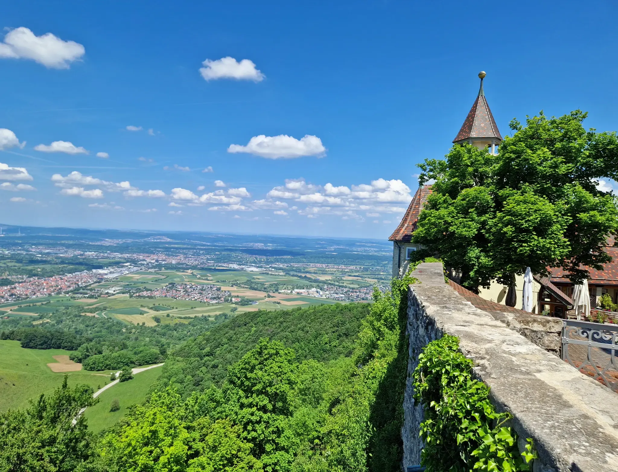
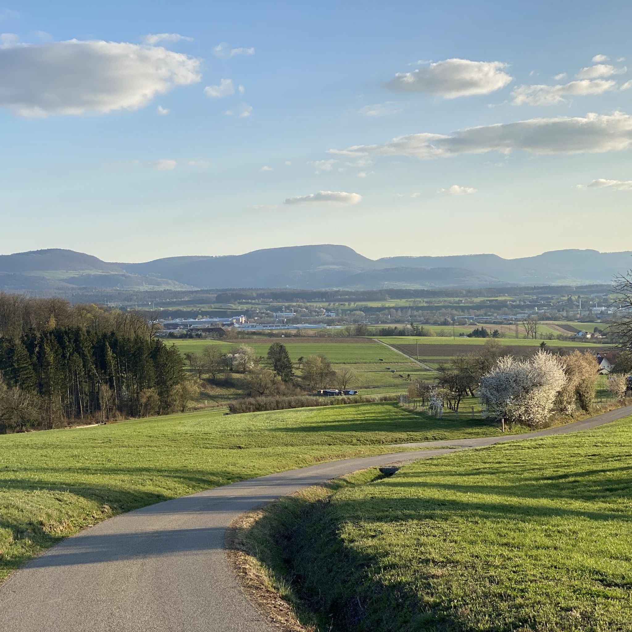
Super view of the three Kaiser Mountains
0
0

Herons love this lake and are easily observed here.
0
0

This is a great place to rest :-)
0
0
Wonderful view. Besides an information board, there's a table and two wooden benches here 🥪🥛
0
0


Great rest areas 😊 ideal for a short break
1
0


From the small platform, you have a wonderful view over the cold field. In addition to the sleeping spaces in the Franz Keller House, Villa Maus offers 4-5 additional beds.
2
0
Frequently Asked Questions
How many mountaineering routes are available in Eislingen/Fils, and what are their difficulty levels?
Eislingen/Fils offers a selection of mountaineering routes, with a total of 4 tours currently listed. These routes cater to various skill levels, including 1 easy route and 3 moderate routes, ensuring options for different experiences.
Are there family-friendly mountaineering routes in Eislingen/Fils?
Yes, there are family-friendly options. The region offers routes suitable for all fitness levels. For an easier outing, consider the Filseck Castle – Lake Charlotte loop from Uhingen, which is 4.0 miles (6.4 km) long and features a castle and a scenic lake, making it enjoyable for families.
Are there circular mountaineering routes around Eislingen/Fils?
Many of the mountaineering routes in Eislingen/Fils are designed as circular paths, allowing you to start and end at the same point. For example, the Stuifen — Summit and Viewpoint – Reiterles Chapel loop from Waldstetten is a popular circular route offering expansive views.
What are some notable viewpoints or landmarks I can discover on these routes?
The region is rich with stunning viewpoints and historical landmarks. You can enjoy panoramic vistas from the Hohenstaufen Summit on the Wäscher Castle – View from Hohenstaufen Summit loop from Wäschenbeuren. Other notable natural features in the wider Swabian Alb include the Albtrauf escarpment and the iconic Drei Kaiserberge, offering breathtaking scenery.
Can I find any waterfalls along the mountaineering routes in the area?
Yes, the surrounding area of Eislingen/Fils features some beautiful waterfalls. You might encounter the Waldschlucht Waterfall or the Lorcher Waterfall, which are popular highlights in nearby gorges.
Are there places to stop for refreshments or overnight stays along the trails?
Absolutely. The region has several welcoming spots for hikers. The Franz-Keller Hut, located on the Kaltes Feld, is a well-known hiking lodge. Another excellent option is the Wasserberghaus, which offers wide-ranging views of the Filstal and the Drei Kaiserberge, along with dining and potential overnight stays.
What do other mountaineers enjoy most about the routes in Eislingen/Fils?
The komoot community highly rates the mountaineering routes in Eislingen/Fils, with an average score of 5.0 stars. Mountaineers often praise the diverse terrain at the edge of the Swabian Alb, the rolling hills, dense forests, and the panoramic views across the Filstal.
What is the best time of year for mountaineering in Eislingen/Fils?
The region is generally enjoyable for mountaineering throughout the warmer months, from spring to autumn. During these seasons, the weather is typically mild, and the trails are clear, allowing for the best experience of the lush meadows, forests, and panoramic views. Winter can offer different challenges and beauty, but some trails may be less accessible.
Are there any routes that offer a good challenge for experienced mountaineers?
While there are no routes explicitly graded as 'difficult' in the immediate selection, the moderate routes often involve significant elevation changes. For example, the Stuifen — Summit and Viewpoint – Reiterles Chapel loop from Waldstetten covers 8.9 miles (14.3 km) with over 570 meters of ascent, providing a good workout and rewarding views.
Can I explore historical sites while mountaineering in Eislingen/Fils?
Yes, the region blends natural beauty with historical significance. The Wäscher Castle – View from Hohenstaufen Summit loop from Wäschenbeuren includes historical ruins and offers panoramic vistas from the Hohenstaufen Summit. Additionally, the Hohenrechberg Castle Ruins are a popular destination for hikers, providing superb views and a glimpse into the past.
Are there any routes that lead to the Kaltes Feld area?
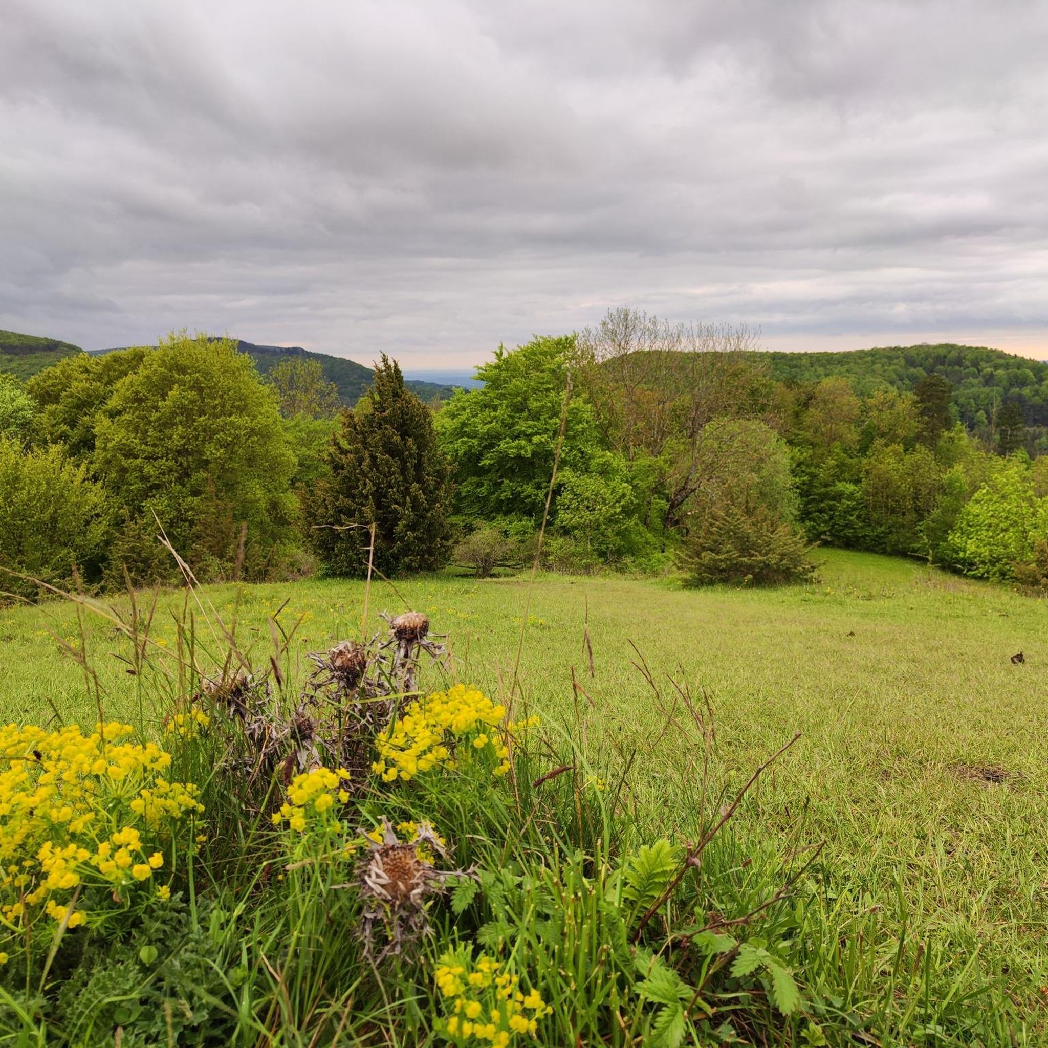
Yes, you can explore the Kaltes Feld, which is the highest elevation in the Ostalb. The Reiterles Chapel – Franz-Keller Hut loop from Kaltes Feld mit Hornberg, Galgenberg und Eierberg is a moderate route that takes you through this recreational area, known for its wide plateau, junipers, meadows, and forests, and includes a stop at the Franz-Keller Hut.
Most popular routes around Eislingen/Fils
Most popular attractions around Eislingen/Fils

Get inspired with the komoot mobile app


Explore more
Browse the best Mountain Hikes & Routes in other regions.
