The best mountain hikes around Hettenleidelheim
5.0
(1)
11
hikers
4
hikes
Mountaineering around Hettenleidelheim offers a variety of routes through the forested hills and valleys of the region. The landscape is characterized by a mix of woodlands, open areas, and gentle to moderate ascents, providing diverse terrain for exploration. These routes often feature scenic viewpoints and connect to local landmarks. The area provides opportunities for mountaineers seeking both shorter, easier paths and longer, more challenging excursions.
Best mountaineering routes around Hettenleidelheim
- The most popular mountaineering route is Schlagbaum Trail Junction –…
Last updated: July 2, 2026
5.0
(1)
3
hikers
Easy mountaineering route. Great for any fitness level. Easily-accessible paths. Suitable for all skill levels.
3
hikers
Moderate mountaineering route. Good fitness required. Easily-accessible paths. Suitable for all skill levels.

Sign up for free
3
hikers
Moderate mountaineering route. Good fitness required. Easily-accessible paths. Suitable for all skill levels.
2
hikers
7.77km
02:09
130m
130m
Moderate mountaineering route. Good fitness required. Easily-accessible paths. Suitable for all skill levels.
Our route recommendations are based on thousands of hikes, rides, and runs completed by other people on komoot.
Start today with a free account
Your next adventure awaits.
Login or Signup
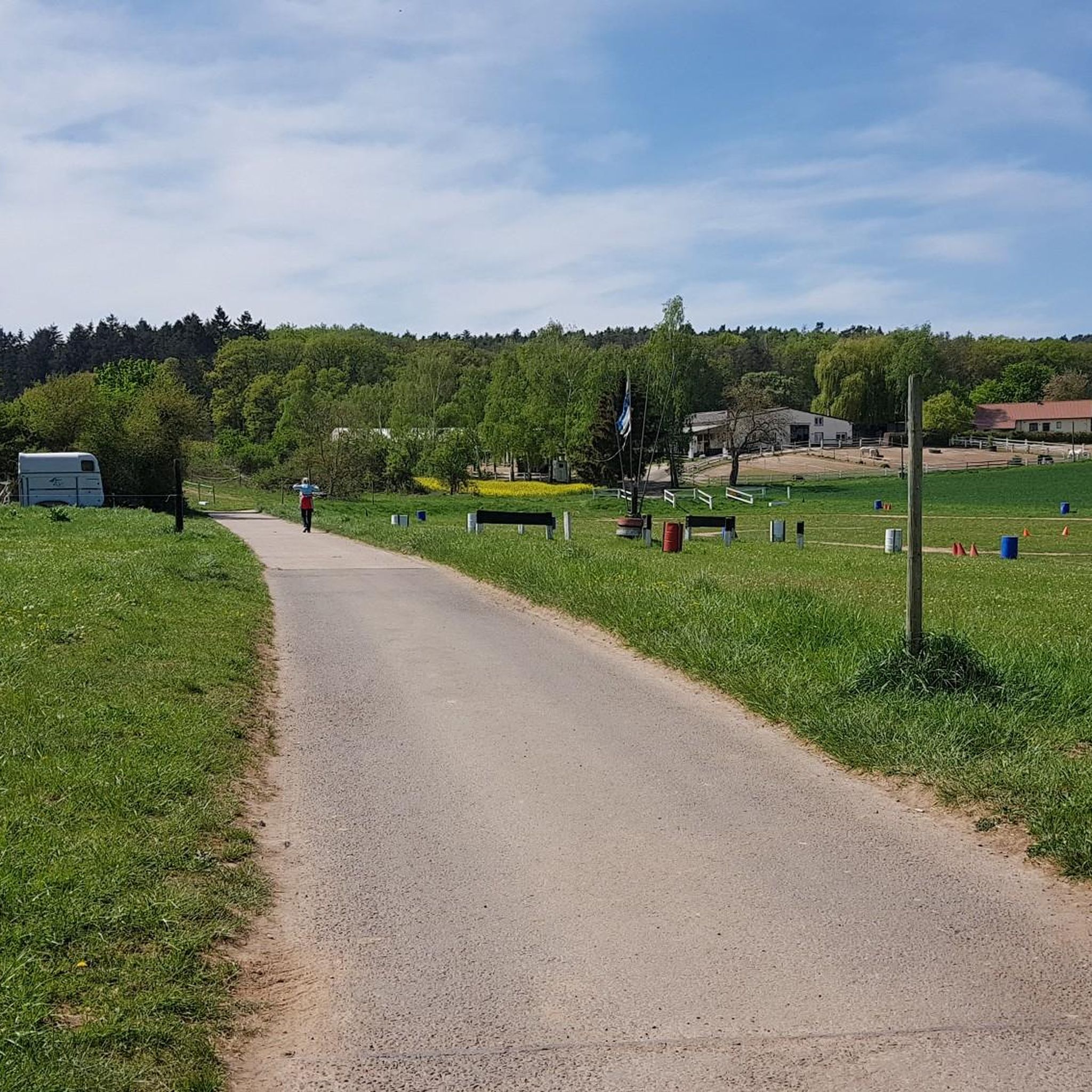
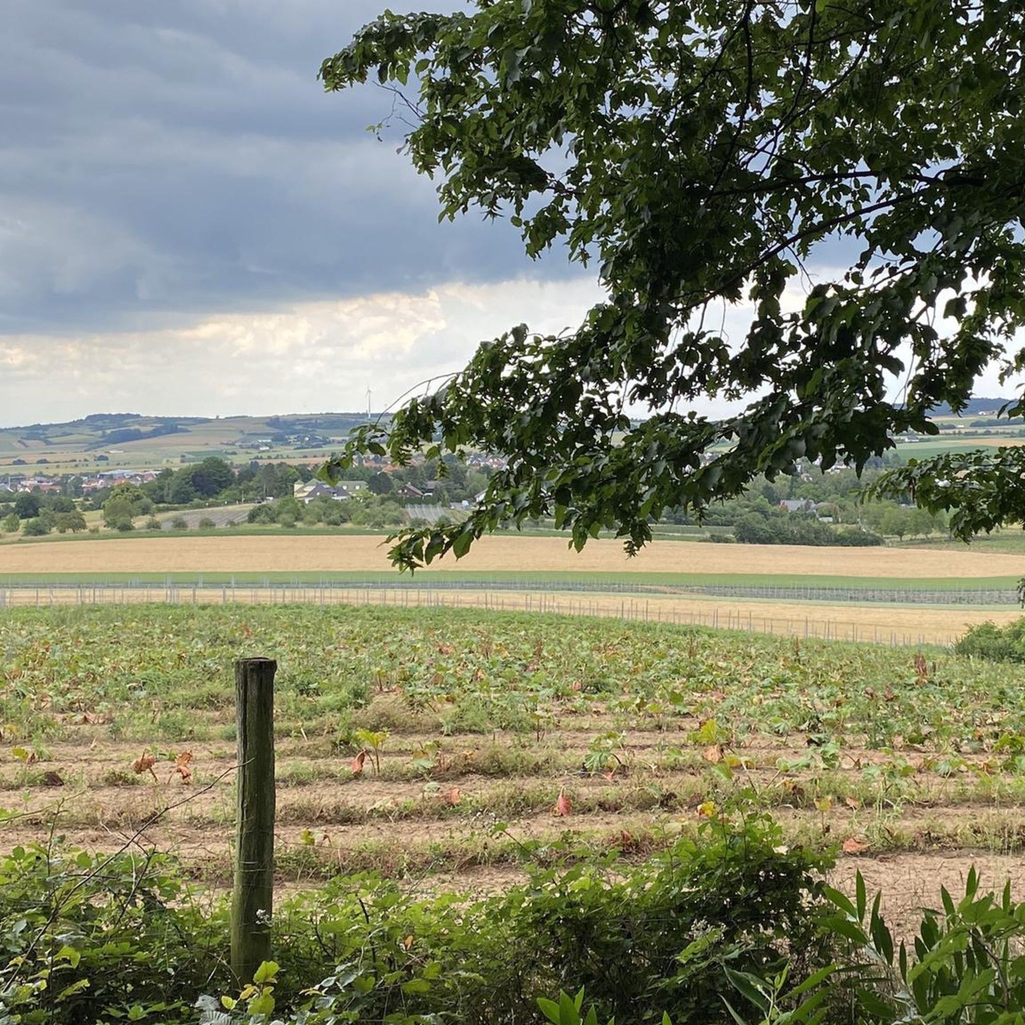
Tips from the Community

The Weilerskopf telecommunications tower is a concrete tower that rises 130 meters above the summit of the Weilerskopf hill.
1
0

Historical border marker that suddenly appears on the side of the road.
1
0

Especially interesting if you have read something about it
0
0

There are plenty of benches on this tour
1
0

The Weilerskopf telecommunications tower is a type “FMT 2” tower completed in 1969 with a height of 130.7 meters.
4
0

Founded in 1120 and first mentioned in documents in 1143 Destroyed between 1618 and 1648 in the Thirty Years' War and not rebuilt
1
0

There are many old boundary stones in this area and some of them look really special, like this one.
1
0
Frequently Asked Questions
What kind of mountaineering routes can I expect around Hettenleidelheim?
The region around Hettenleidelheim offers a diverse range of mountaineering routes, primarily through forested hills and valleys. You'll find a mix of woodlands, open areas, and ascents that vary from gentle to moderate. The landscape often includes scenic viewpoints and connections to local landmarks, suitable for both shorter, easier paths and longer, more challenging excursions.
Are there any easy mountaineering routes suitable for beginners in Hettenleidelheim?
Yes, there is at least one easy mountaineering route available. A great option for beginners is the Schlagbaum Trail Junction – View of Limburg Abbey loop from Haardtrand - Am Schlammberg. This trail is 3.2 miles (5.2 km) long and offers pleasant views towards Limburg Abbey, typically taking about 1 hour 26 minutes to complete.
What are some longer mountaineering routes for those seeking more challenge?
For those looking for a longer and more moderate challenge, consider the Kieskautberg loop from Altleiningen. This route is 9.1 miles (14.7 km) long and traverses varied terrain, including forested sections and open landscapes. Another excellent moderate option of similar length is the Hertlingshausen Monastery Mill – Municipality of Höningen loop from Hertlingshausen, which also covers 9.1 miles (14.7 km) and leads through woodlands and past historical sites.
Are there any circular mountaineering routes in the Hettenleidelheim area?
Yes, many of the routes around Hettenleidelheim are designed as loops, offering a convenient circular experience. Examples include the easy Schlagbaum Trail Junction – View of Limburg Abbey loop from Haardtrand - Am Schlammberg, and the moderate Kieskautberg loop from Altleiningen. Another moderate circular option is the Ungeheuersee – Heidenfels loop from Landkreis Bad Dürkheim, which is about 4.9 miles (7.9 km) long.
What interesting sights or landmarks can I see along the mountaineering routes?
The routes often pass by significant points of interest. For example, the Schlagbaum Trail Junction loop offers views towards the Limburg Monastery Ruins. The Ungeheuersee – Heidenfels loop takes you past the scenic Ungeheuersee. Other notable attractions in the wider area include the Kriemhildenstuhl Roman Quarry and the Bismarck Tower on Peterskopf.
Are there any places to stop for refreshments or rest near the trails?
Yes, there are several huts and inns in the vicinity that can serve as good stopping points. The Lindemannsruhe Forest Inn and the Rahnenhof Naturefriends House are popular choices for a break. You might also find the Retzberg Pond and Retzberg Hut to be a pleasant spot to rest.
What do other mountaineers say about the routes in Hettenleidelheim?
The mountaineering routes in Hettenleidelheim are highly regarded by the komoot community, with an average score of 5.0 stars from over 1 review. Mountaineers often praise the varied terrain, the peaceful forested sections, and the well-maintained paths that make for an enjoyable experience.
Is Hettenleidelheim suitable for family-friendly mountaineering?
The region offers routes with varying difficulty levels, including easy options that could be suitable for families. The Schlagbaum Trail Junction – View of Limburg Abbey loop, for instance, is an easy 3.2-mile trail that could be a good starting point for families looking for a shorter outing.
Are there any specific permits required for mountaineering in Hettenleidelheim?
Based on available information, there are no specific permits mentioned as being required for general mountaineering on the trails around Hettenleidelheim. However, it's always advisable to check local regulations or park information if you plan to venture into specific protected areas.
What is the best time of year to go mountaineering in Hettenleidelheim?
The forested hills and valleys of Hettenleidelheim are generally enjoyable throughout the warmer months, from spring to autumn, when the weather is mild and the trails are clear. Spring brings blooming flora, while autumn offers beautiful fall foliage. Always check local weather forecasts before heading out.
Are the mountaineering routes around Hettenleidelheim dog-friendly?
While specific regulations for dogs on each trail are not detailed, many natural areas in Germany are generally dog-friendly, especially if dogs are kept on a leash. Given the forested and open terrain, it's likely that many routes are suitable for dogs. However, always be mindful of local signage and respect wildlife.
Most popular routes around Hettenleidelheim
Most popular attractions around Hettenleidelheim

Get inspired with the komoot mobile app


Explore more
Browse the best Mountain Hikes & Routes in other regions.
