The best mountain hikes around Obernzell
5.0
(1)
22
hikers
2
hikes
Mountaineering routes around Obernzell are set within the scenic Danube Valley and at the edge of the Bavarian Forest. The region features a diverse landscape characterized by dense forests, rolling hills, and significant elevation changes. The dramatic Danube Valley provides a stunning backdrop, with steep, forested slopes offering challenging inclines. The rural high plateau of the Bavarian Forest further contributes to the varied terrain for mountaineering.
Best mountaineering routes around Obernzell
- The most popular mountaineering route is Haugstein Summit (895…
Last updated: August 25, 2026
8
hikers
Moderate mountaineering route. Good fitness required. Easily-accessible paths. Suitable for all skill levels.
7
hikers
9.76km
02:59
340m
350m
Moderate mountaineering route. Good fitness required. Easily-accessible paths. Suitable for all skill levels.

Sign up for free
5.0
(1)
7
hikers
5.53km
01:40
170m
170m
Easy mountaineering route. Great for any fitness level. Easily-accessible paths. Suitable for all skill levels.
Our route recommendations are based on thousands of hikes, rides, and runs completed by other people on komoot.
Start today with a free account
Your next adventure awaits.
Login or Signup
Popular around Obernzell

Danube Trail – Legendary long-distance hiking along the Danube River

Simply amazing – 13 hikes along the Donausteig
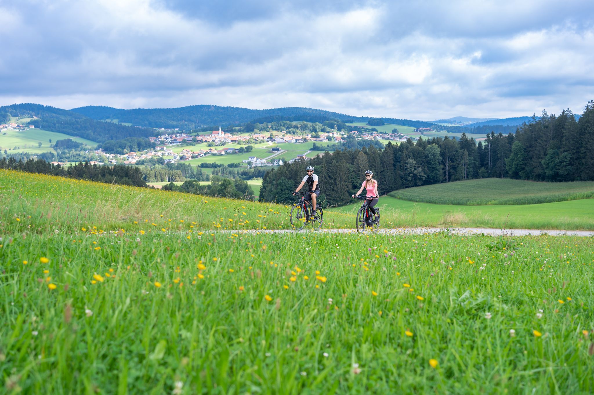
Radtouren zwischen Donau und Moldau - unterwegs im Bayerischen Wald
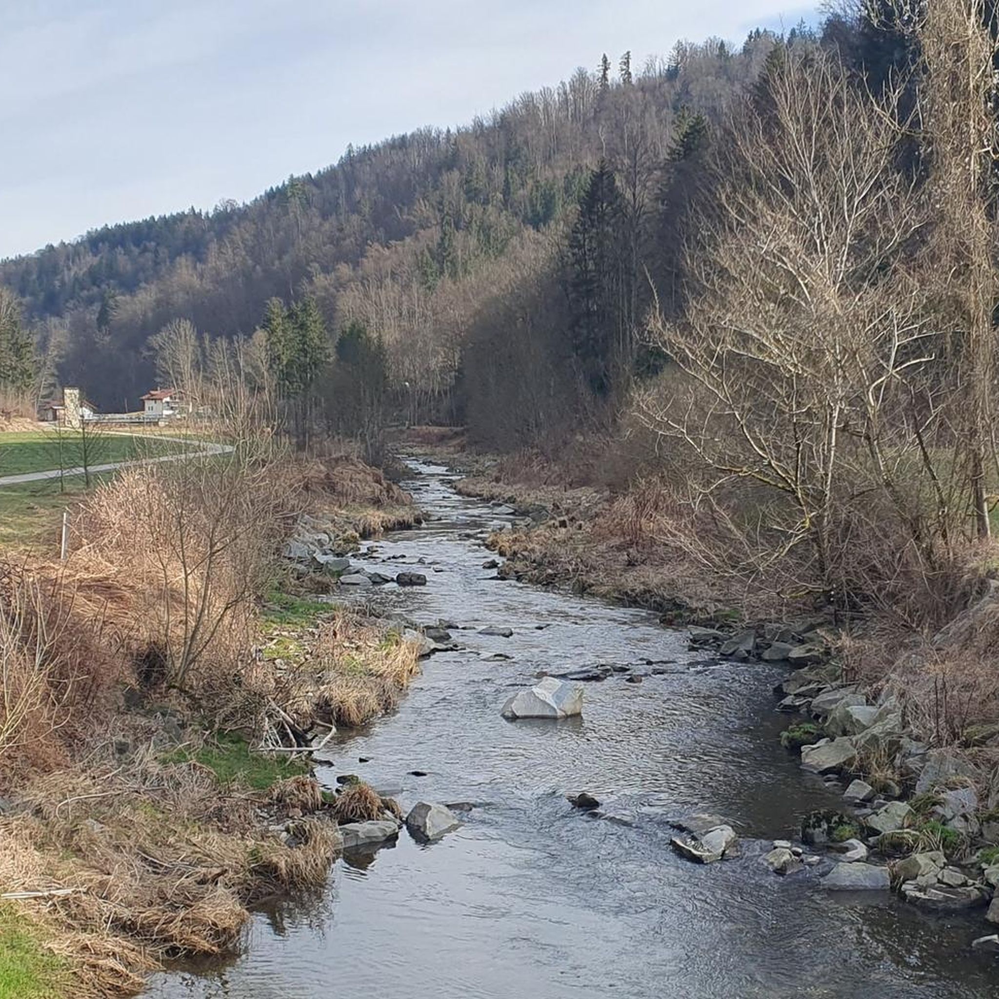
Hiking around Obernzell
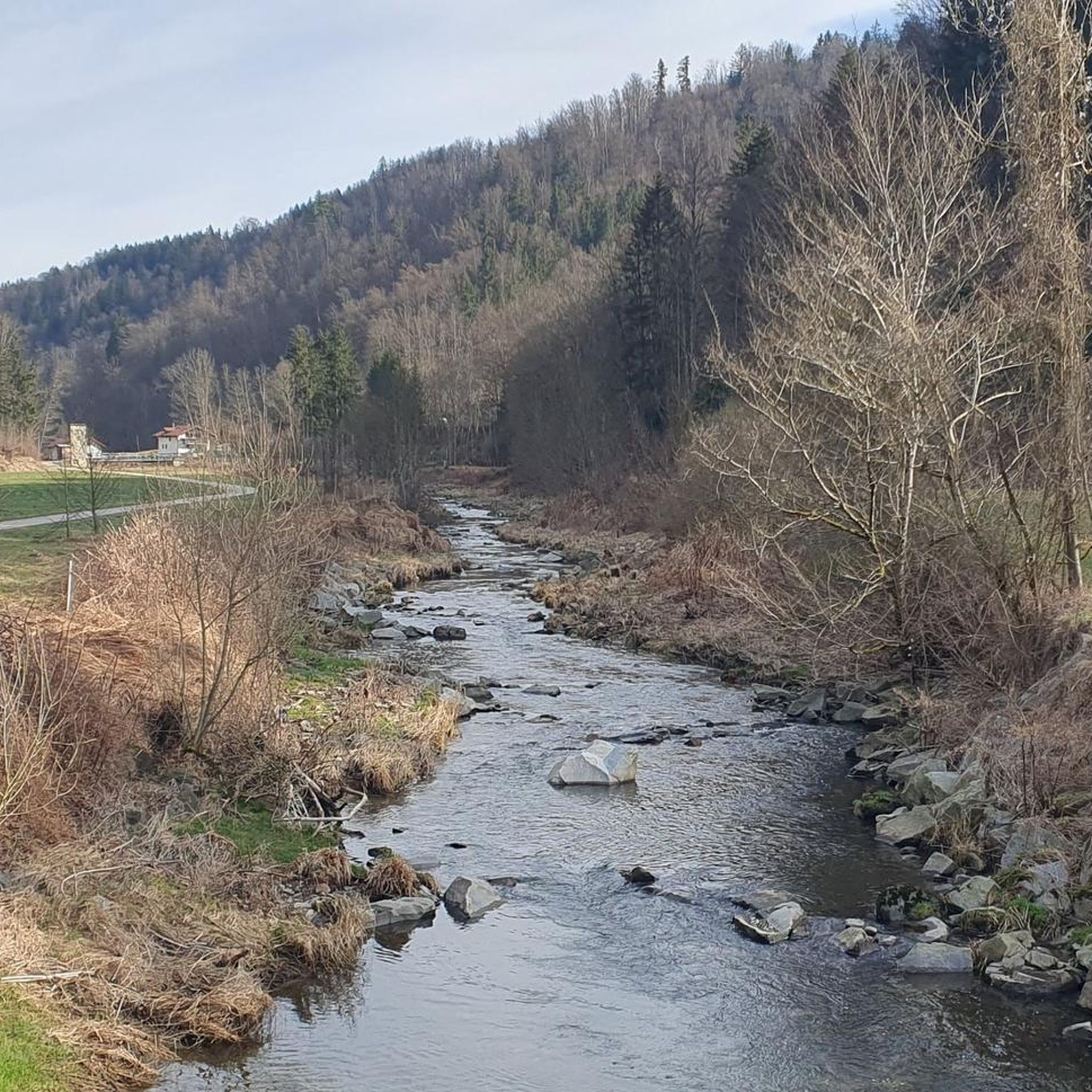
Cycling around Obernzell
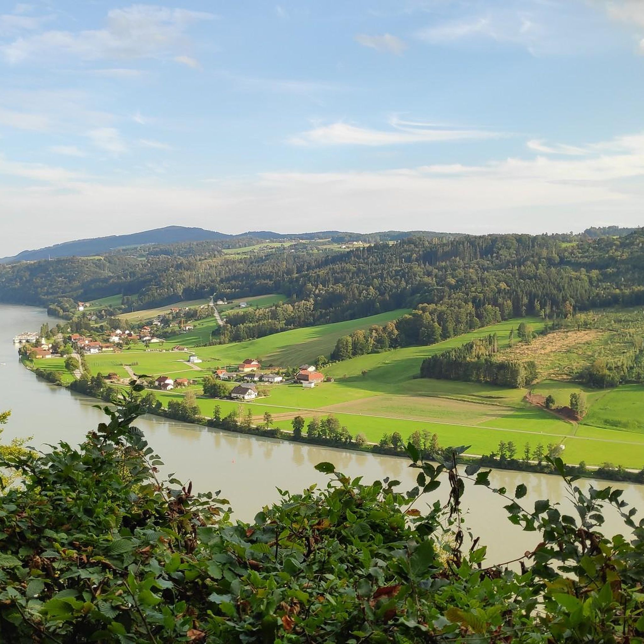
Road Cycling Routes around Obernzell
MTB Trails around Obernzell
Running Trails around Obernzell
Gravel biking around Obernzell
Other adventures around Obernzell


Tips from the Community

Maierhof viewpoint with panoramic views of Bavaria.
0
0

Beautiful memorial in the middle of the forest
1
0

with a bell that you can operate yourself
1
0

A little above the hiking car park there is a bench... sit here, enjoy the peace and the view and simply
1
0
Chapel at the Eidenberger Lusen round trip from Maierhof.
1
0
Panoramic view from Hartmannsreut to Wegscheid, with the church tower striking.
0
0
Very nice paved crossings at the Osterbach.
0
0
Frequently Asked Questions
What kind of mountaineering routes can I expect around Obernzell?
The mountaineering routes around Obernzell are characterized by significant elevation changes and traverse the scenic Danube Valley and the foothills of the Bavarian Forest. You'll find a diverse landscape with dense forests, rolling hills, and challenging inclines, particularly on the steep, forested slopes of the Danube hills and the rural high plateau of the Bavarian Forest. While not technical climbing, these routes are designed for experienced hikers seeking a strenuous challenge.
How many mountaineering routes are available in the Obernzell area?
There are several mountaineering routes around Obernzell, with komoot featuring 2 distinct tours. These routes offer varied terrain and challenges, from moderate climbs to paths with significant elevation gain.
Are there easier mountaineering routes for beginners in Obernzell?
While many routes involve significant elevation, there are options suitable for those looking for a less strenuous experience. For example, the Chapel at Eidenberger Lusen – Bärnlochweg Shelter loop from Oberkappel is rated as easy, covering 3.5 miles (5.6 km) and taking about 1 hour 41 minutes. This route still offers varied terrain but with a more manageable ascent.
Do the mountaineering routes around Obernzell involve technical climbing?
No, the 'mountaineering routes' around Obernzell do not involve technical climbing in the alpine sense. They are characterized by significant elevation changes and require good fitness, aligning with more strenuous forms of hiking rather than rock climbing or via ferrata.
What kind of elevation gain can I expect on mountaineering routes in Obernzell?
The routes in Obernzell are known for their significant elevation changes. For instance, the Haugstein Summit (895 m) – Vichtenstein Castle loop from Engelhartszell an der Donau involves an ascent of over 370 meters (1,214 feet) over its 7.7 miles (12.4 km) distance. You should be prepared for sustained climbs and descents.
Are there family-friendly mountaineering routes suitable for children around Obernzell?
While many mountaineering routes in Obernzell are quite challenging, some shorter and easier options might be suitable for families with older, experienced children. The Chapel at Eidenberger Lusen – Bärnlochweg Shelter loop from Oberkappel is an easier route that could be considered, but always assess your family's fitness and experience before embarking on any trail.
Are dogs allowed on the mountaineering routes near Obernzell?
Generally, dogs are welcome on hiking and mountaineering trails in the region. However, it's always advisable to keep them on a leash, especially in nature reserves like the Donauleiten, and to be mindful of wildlife and other hikers. Ensure your dog is fit enough for the elevation changes and longer distances.
What are some notable viewpoints or landmarks along the mountaineering routes?
The region offers many rewarding views. The Haugstein Summit (895 m) is a prominent feature, providing panoramic vistas. The Donausteig trail, which passes through Obernzell, also offers stunning views of the Danube Valley from points like the König-Max height. You might also encounter the historic chapel at Eidenberger Lusen Summit or the dramatic rock island of Jochenstein in the Danube.
Can I reach the mountaineering trails around Obernzell using public transport?
Obernzell is a market town, and while local bus services connect to surrounding areas, direct access to all trailheads via public transport might be limited. It's recommended to check local bus schedules for specific routes and starting points. Many trails are more easily accessed by car, with parking available near trailheads.
Are there places to stop for refreshments or food along the mountaineering routes?
Yes, depending on the route, you may find opportunities for refreshments. For example, the Gidibauerhof Country Inn & Restaurant is a highlight in the area, offering a chance to refuel. Some routes might also pass by huts or small villages where you can find local eateries. Always carry sufficient water and snacks, especially on longer tours.
What do other mountaineers enjoy the most about mountaineering in Obernzell?
The area is highly rated by the komoot community, with an average score of 5.0 stars. Reviewers often praise the stunning natural beauty of the Danube Valley and the Bavarian Forest, the challenging yet rewarding elevation changes, and the sense of accomplishment from reaching prominent summits like Haugstein. The diverse landscape and well-maintained trails are frequently highlighted.
Are there any circular mountaineering routes in Obernzell?
Yes, many of the mountaineering routes around Obernzell are designed as loops, allowing you to start and end at the same point. For instance, the Vichtenstein Castle – Haugstein Summit (895 m) loop from Vichtenstein is a popular circular option, offering a comprehensive experience of the local terrain.
Most popular routes around Obernzell
Most popular attractions around Obernzell

Get inspired with the komoot mobile app


Explore more
Browse the best Mountain Hikes & Routes in other regions.
