The best mountain hikes around Seewald
2
hikers
3
hikes
Mountaineering routes around Seewald traverse a landscape characterized by dense forests, tranquil lakes, and areas of raised bog. The region features rolling hills and varied terrain, offering a range of elevation changes suitable for different skill levels. These routes provide access to natural features such as the Sandbühlsee and Hohloh Lake, alongside areas like the Wildsee raised bog.
Best mountaineering routes around Seewald
- The most popular mountaineering route is Sandbühlsee loop from Lützenhardt, an easy 4.5 miles (7.2 km)…
Last updated: August 11, 2026
1
hikers
7.45km
02:02
120m
120m
Moderate mountaineering route. Good fitness required. Easily-accessible paths. Suitable for all skill levels.
3.30km
00:59
110m
110m
Easy mountaineering route. Great for any fitness level. Easily-accessible paths. Suitable for all skill levels.
Our route recommendations are based on thousands of hikes, rides, and runs completed by other people on komoot.
Start today with a free account
Your next adventure awaits.
Login or Signup
Popular around Seewald
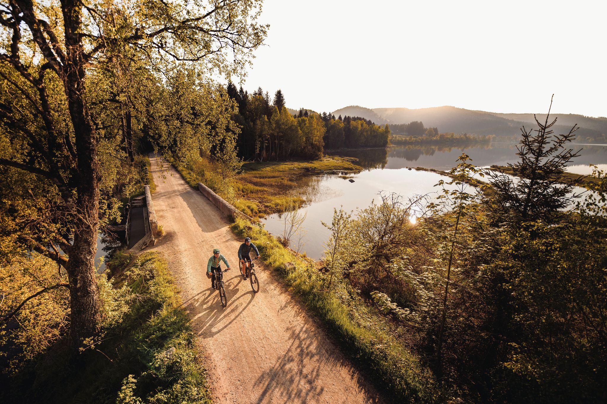
By the water – along the rivers and lakes of the Black Forest
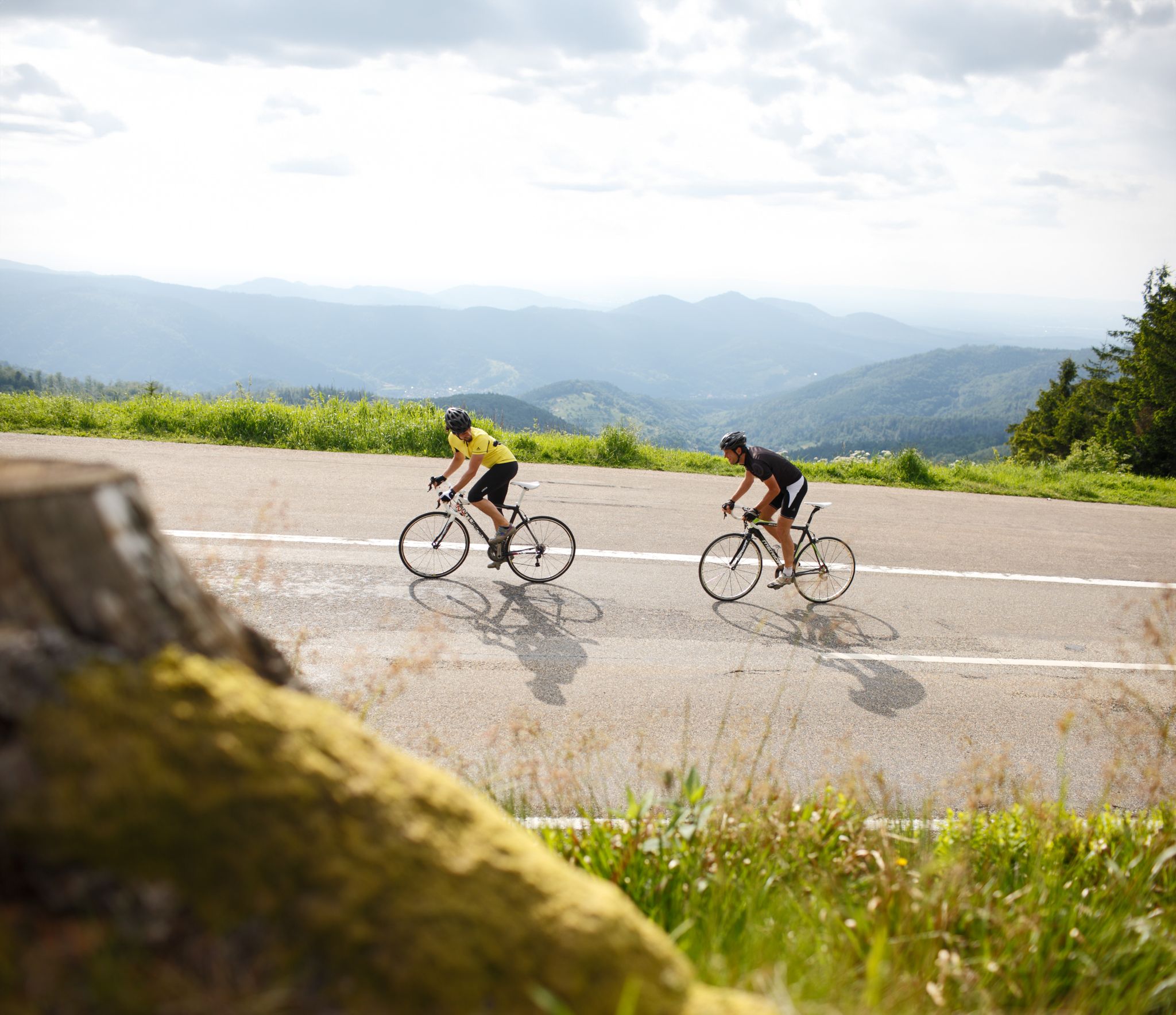
Experience the south of Germany on the Future Racing Bike Pros’ routes
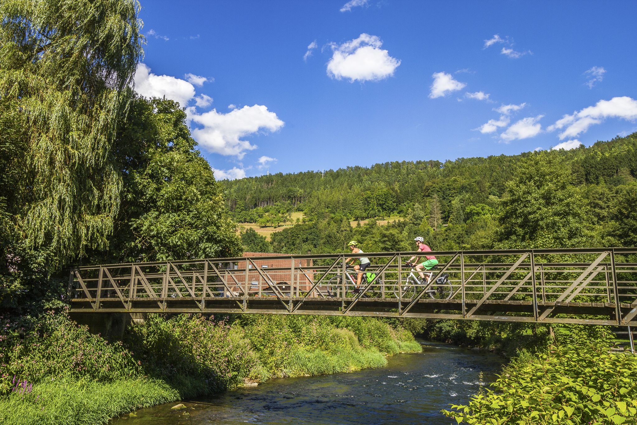
Biking the Black Forest: Our Favorite Long-Distance Rides
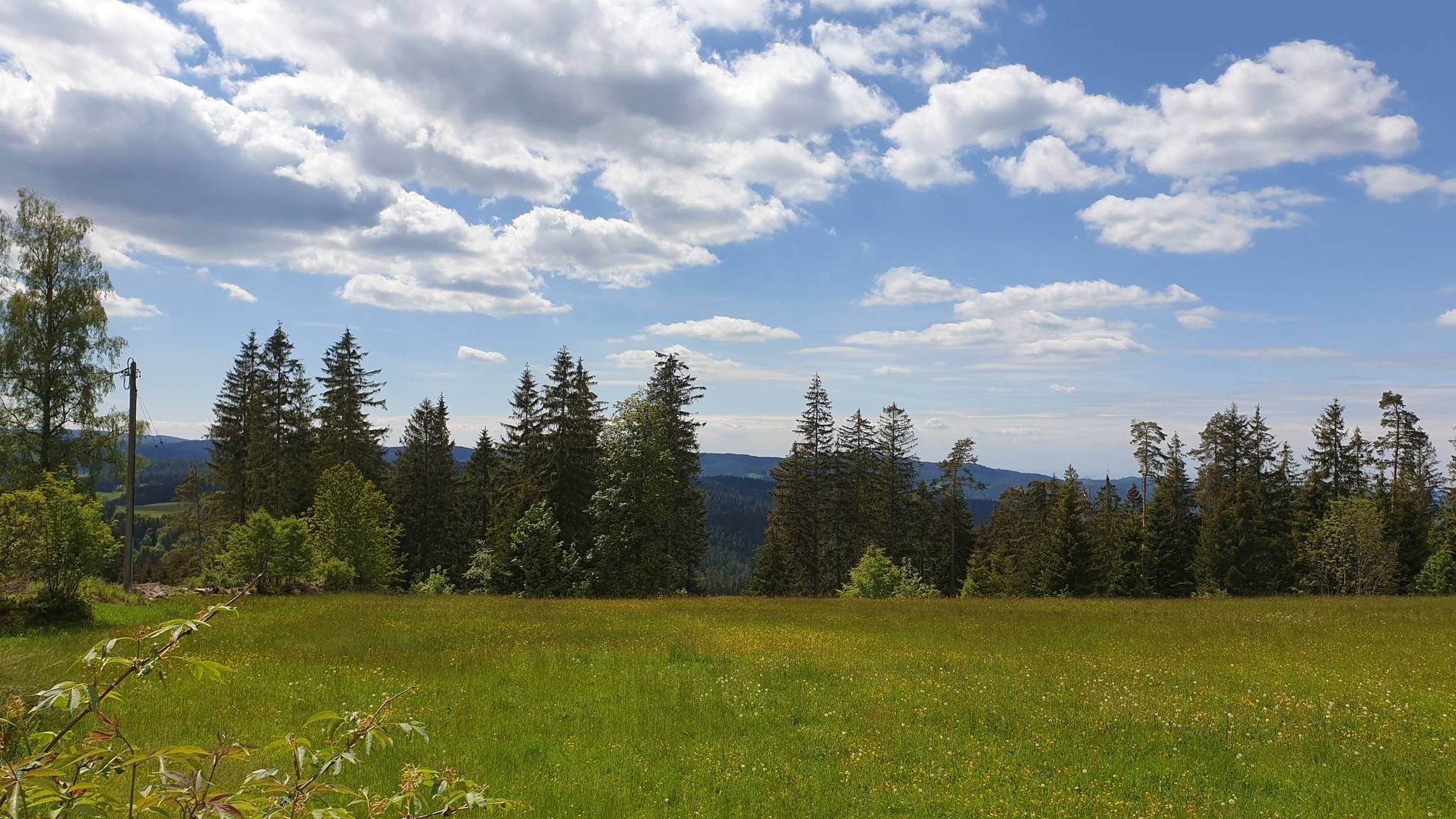
The Mittelweg of the Black Forest Association
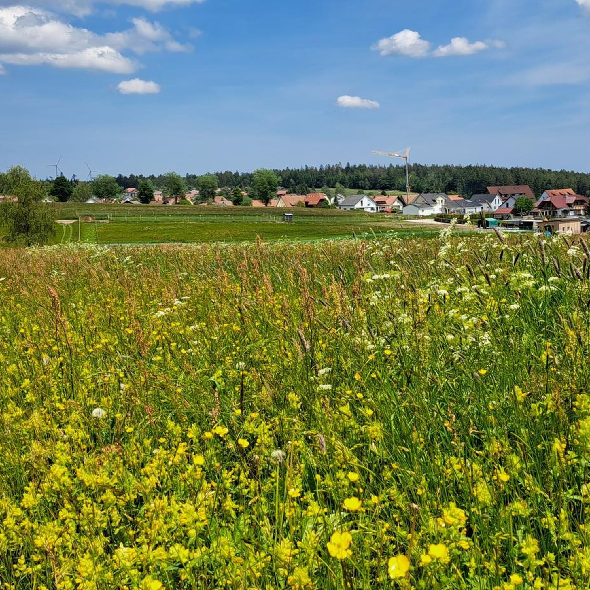
Hiking around Seewald
Road Cycling Routes around Seewald
Cycling around Seewald
MTB Trails around Seewald
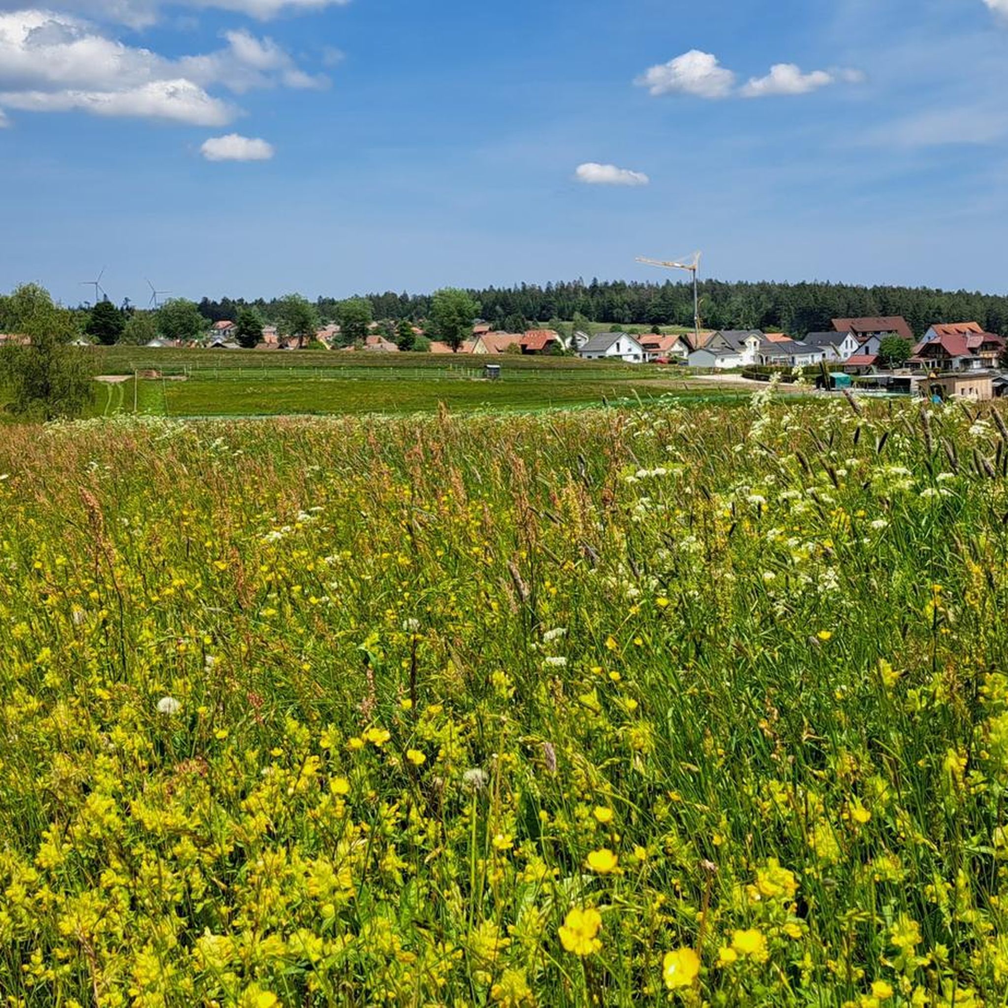
Running Trails around Seewald
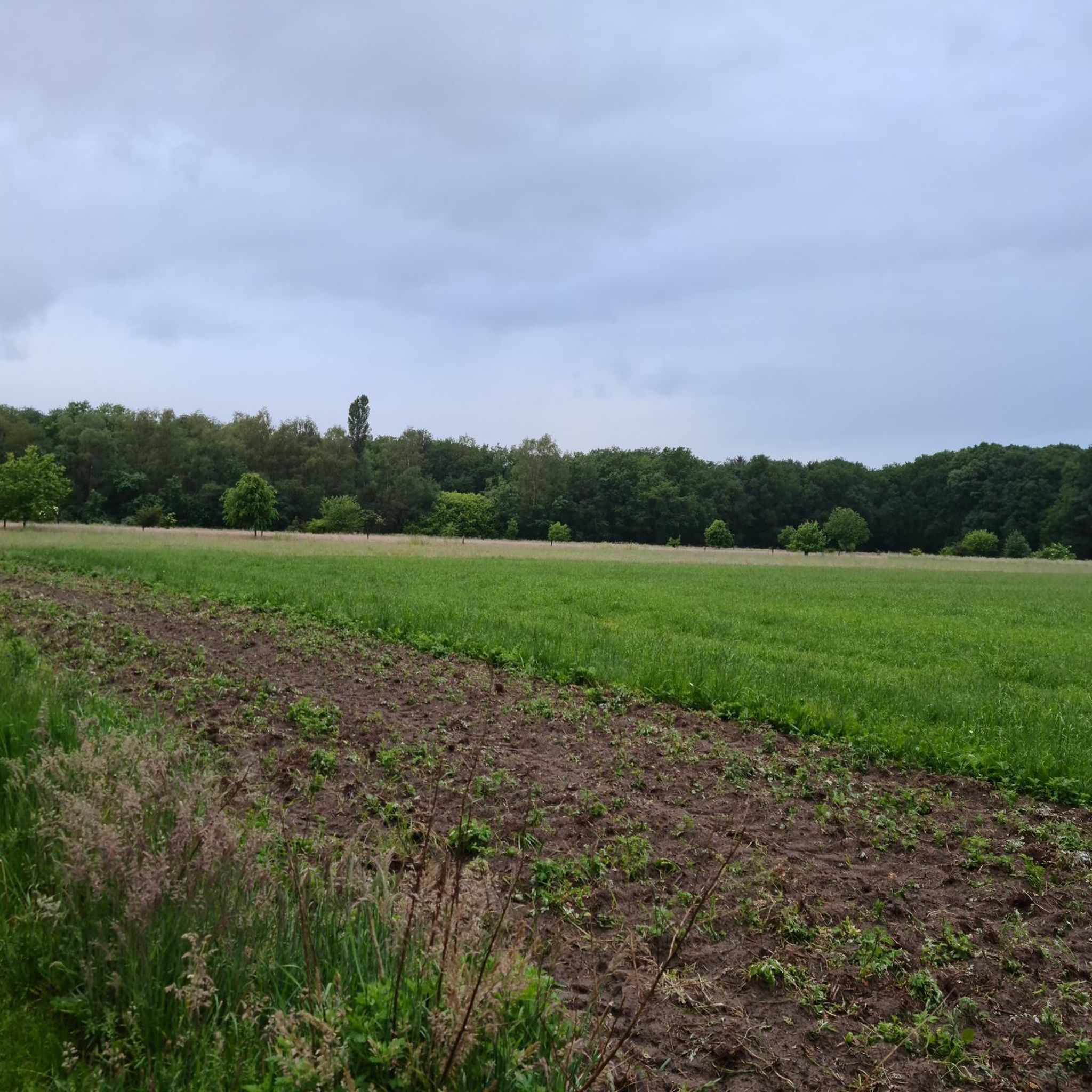
Gravel biking around Seewald
Other adventures around Seewald


Tips from the Community

Information boards along the signposted Kaltenbronn mountain rescue route provide insights into the multifaceted work of the Black Forest Mountain Rescue Service
0
0
Information boards along the signposted Kaltenbronn mountain rescue route provide insights into the multifaceted work of the Black Forest Mountain Rescue Service
1
0
Information boards along the signposted Kaltenbronn mountain rescue route provide insights into the multifaceted work of the Black Forest Mountain Rescue Service
0
0

At each parking lot there is a hiking board with an overview.
0
0

Very nice building with parking facilities
7
0

The Kaltenbronn nature and forest conservation area is located in the highlands of the Northern Black Forest between the Murg and Enz valleys and belongs to the Baden-Württemberg towns of Gernsbach (Rastatt district) and Bad Wildbad (Calw district). Covering an area of around 1750 hectares, it includes the nature reserves around the Wildseemoor and the Hohlohsee, which are two kilometers apart, as well as the protected and protected forests that overlie and connect them near the Gernsbach district of Kaltenbronn. It was established in 2000 as the first combined nature and forest conservation area in Baden-Württemberg, and parts of it have been under protection since the 1920s and 1930s. Source: https://de.wikipedia.org/wiki/Natur-_und_Waldschutzgebiet_Kaltenbronn
2
0

Information board right next to the road leading up to the lake.
4
0

Top information board at a well-visited location. There are informative brochures in the dispensers and the overview card shows all the options. Not quite as relevant for me as a Komoot user.
3
0
Frequently Asked Questions
What are the typical difficulty levels for mountaineering routes in Seewald?
Mountaineering routes in Seewald generally range from easy to moderate. You'll find paths suitable for casual walks, such as the Sandbühlsee loop from Lützenhardt, which is rated easy, up to more challenging moderate trails like the Wildsee raised bog – Kaltenbronn Red Deer Enclosure loop.
Are there any family-friendly mountaineering routes in Seewald?
Yes, Seewald offers several family-friendly options. The Great Hohloh Lake loop from Kaltenbronn is an easy, shorter route perfect for families, winding through forested areas around the lake. The region's generally gentle terrain and well-maintained paths make it suitable for various ages.
What kind of landscapes can I expect to see on mountaineering routes in Seewald?
Seewald's mountaineering routes showcase a diverse landscape of dense forests, tranquil lakes like the Sandbühlsee and Hohloh Lake, and unique raised bog areas such as the Wildsee raised bog. You'll experience rolling hills and varied terrain, characteristic of the northern Black Forest.
Are there any circular mountaineering routes in Seewald?
Yes, many of the routes in Seewald are designed as circular paths, allowing you to start and end at the same point. Examples include the Sandbühlsee loop from Lützenhardt and the Wildsee raised bog – Kaltenbronn Red Deer Enclosure loop from Kaltenbronn.
What are some notable viewpoints or attractions along the mountaineering routes?
Along the routes, you can discover several interesting points. The Wildsee raised bog offers a unique natural experience, and you can find impressive panoramic views from towers like the Hohloh Tower (Kaiser Wilhelm Tower) or the Friedrich Tower at Badener Höhe. There's also the Boardwalk Through Wildseemoor for a closer look at the bog ecosystem.
How long do mountaineering routes in Seewald typically take to complete?
The duration of routes varies depending on their length and your pace. Shorter, easy routes like the Great Hohloh Lake loop can be completed in about an hour, while longer moderate trails such as the Wildsee raised bog – Kaltenbronn Red Deer Enclosure loop might take around 3 hours and 40 minutes.
Are there any places to eat or rest along the trails in Seewald?
While specific cafes directly on every trail might be limited, you can often find refreshment options in the villages near trailheads, such as Lützenhardt or Kaltenbronn. The Sattelei Hut is a notable spot where you might find a place to rest and refuel.
What is the best time of year for mountaineering in Seewald?
The region is generally pleasant for mountaineering from spring through autumn, when the weather is mild and the trails are clear. The dense forests offer shade in summer, and the autumn foliage provides beautiful scenery. Winter can also be an option, but some trails might be covered in snow or ice, requiring appropriate gear.
What are some 'hidden gems' or less-known spots to explore in Seewald?
Beyond the main trails, exploring areas like the Murgtal Gorge or the serene Kaltenbach Valley can offer a different perspective of the region's natural beauty. These spots provide opportunities to discover unique rock formations and tranquil forest settings away from more frequented paths.
How many mountaineering routes are available in the Seewald area?
There are at least 3 distinct mountaineering routes detailed for the Seewald area, offering a variety of experiences from easy lake loops to moderate trails through bogs and wildlife enclosures.
What kind of wildlife might I encounter on the trails?
The region's dense forests and natural habitats, particularly around the Wildsee raised bog – Kaltenbronn Red Deer Enclosure, mean you might spot local wildlife. Keep an eye out for red deer and various bird species, especially in quieter areas.
Most popular routes around Seewald
Most popular attractions around Seewald

Get inspired with the komoot mobile app


Explore more
Browse the best Mountain Hikes & Routes in other regions.
