The best mountain hikes around Künzell
5.0
(4)
12
hikers
4
hikes
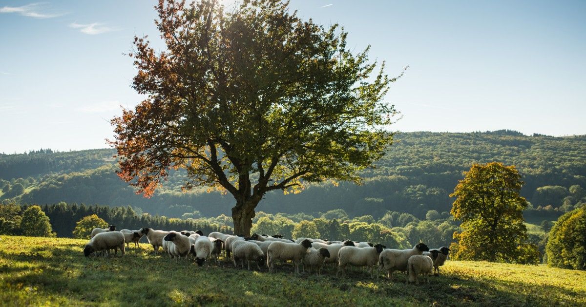
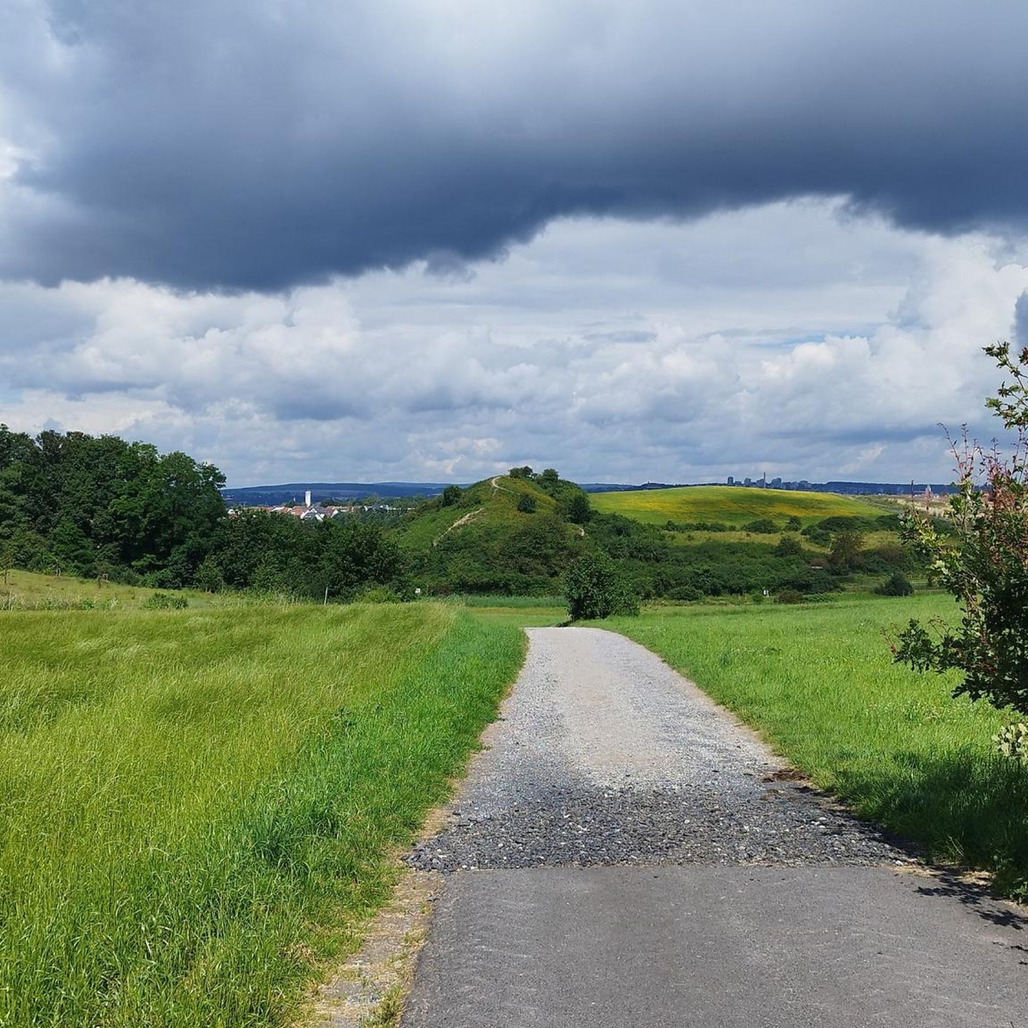
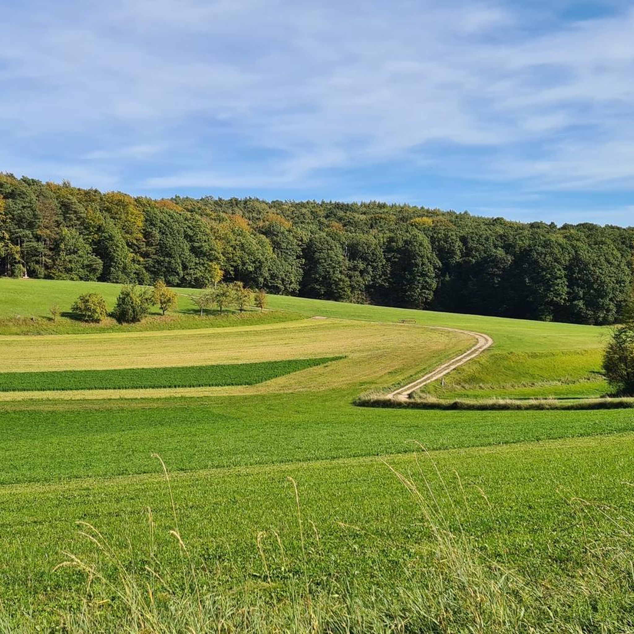
Mountaineering routes around Künzell are situated within the scenic Rhön Mountains, characterized by rolling hills, dense forests, and open plateaus. The region features volcanic basalt cones, such as Milseburg, offering distinct geological formations and elevated viewpoints. Valleys and streams cut through the landscape, providing varied terrain for exploration.
Best mountaineering routes around Künzell
- The most popular mountaineering route is Pfertskopf loop from Wasserkuppe, a 4.7 miles (7.6 km) trail that takes 2 hours 25 minutes to complete. This moderate…
Last updated: August 25, 2026
5.0
(3)
7
hikers
7.75km
02:27
290m
290m
Moderate mountaineering route. Good fitness required. Mostly accessible paths. Sure-footedness required.
5.0
(1)
3
hikers
4.18km
01:23
190m
190m
Moderate mountaineering route. Great for any fitness level. Mostly accessible paths. Sure-footedness required.

Sign up for free
2
hikers
4.85km
01:34
190m
190m
Moderate mountaineering route. Great for any fitness level. Mostly accessible paths. Sure-footedness required.
12.2km
03:46
390m
380m
Moderate mountaineering route. Good fitness required. Mostly accessible paths. Sure-footedness required.
Our route recommendations are based on thousands of hikes, rides, and runs completed by other people on komoot.
Start today with a free account
Your next adventure awaits.
Login or Signup
Other adventures around Künzell

Tips from the Community

An impressive view over the entire region.
0
0
Interesting information about the geology of the mountain.
0
0

Wow! We didn't expect that! What a view
1
0

It's really interesting how something like this comes about
0
0


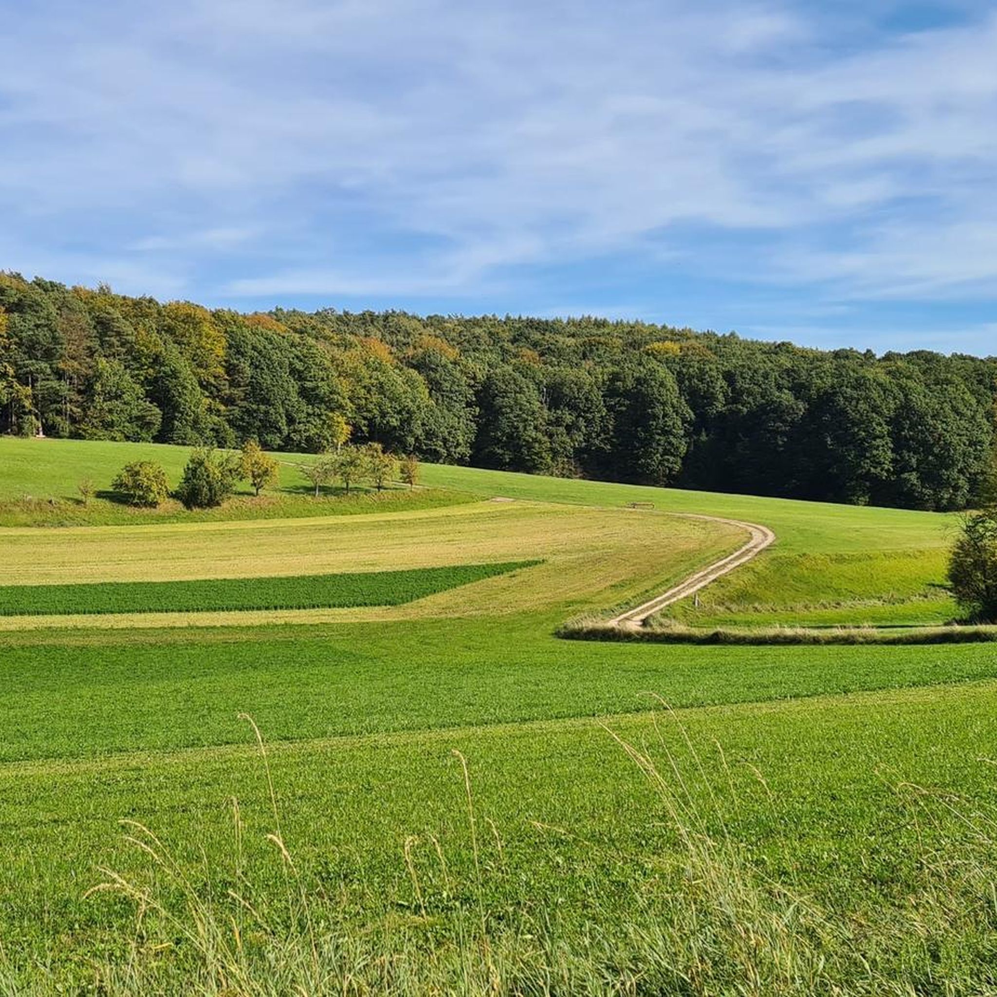
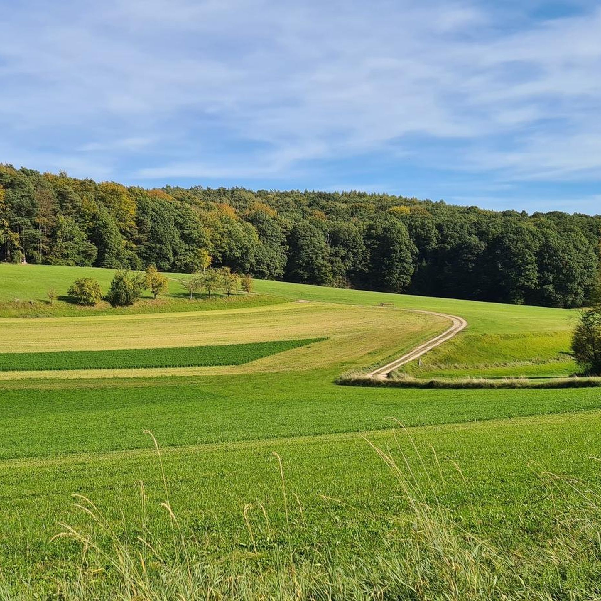
Beautiful landscape
0
0

The phonolite hilltop, covered in scree forests, reveals the remains of a Celtic settlement with a ring wall. An archaeological hiking trail provides information about the excavations of the prehistoric oppidum, one of the largest Iron Age settlements in eastern Hesse, dating from the late Bronze Age (1200-800 BC) and the Iron Age (from 450 BC). The summit, with the Crucifixion Group from 1756 and the Gangolf Chapel, offers one of the best views of the Rhön. See: https://de.m.wikivoyage.org/wiki/Milseburg
1
0
The phonolite hilltop, covered in scree forests, reveals the remains of a Celtic settlement with a circular rampart. An archaeological hiking trail provides information about the excavations of the prehistoric oppidum, one of the largest Iron Age settlements in eastern Hesse, dating from the late Bronze Age (1200–800 BC) and the Iron Age (from 450 BC). The summit, with its Crucifixion Group from 1756 and the Gangolf Chapel, offers one of the best views of the Rhön. See: https://de.m.wikivoyage.org/wiki/Milseburg
1
0
Frequently Asked Questions
What is the typical difficulty of mountaineering routes around Künzell?
All mountaineering routes listed in this guide are rated as moderate. They offer a good balance of challenge and accessibility, suitable for most hikers with a reasonable level of fitness.
How many mountaineering routes are available in the Künzell area?
There are 6 distinct mountaineering routes detailed in this guide, all located within the scenic Rhön Mountains.
What are the typical lengths of mountaineering routes in Künzell?
The routes around Künzell vary in length. For example, the Pfertskopf loop from Wasserkuppe is about 4.7 miles (7.6 km), while the Summit of Milseburg loop from Malerdorf Kleinsassen extends to 7.1 miles (11.5 km).
Are the mountaineering routes around Künzell typically circular?
Yes, many of the mountaineering routes in this guide are designed as loops, allowing you to start and finish at the same point. Examples include the Pfertskopf loop from Wasserkuppe and the Milseburg – View from Milseburg loop from Malerdorf Kleinsassen.
When is the best time of year to go mountaineering in Künzell?
The Rhön Mountains, where Künzell is located, are beautiful year-round. Spring and autumn offer pleasant temperatures and vibrant landscapes, while summer provides longer daylight hours. Winter mountaineering is possible, but requires appropriate gear and awareness of weather conditions.
Are there any family-friendly mountaineering routes suitable for children?
Given that all routes are rated moderate, they may be suitable for families with older children who are accustomed to hiking. The shorter routes, such as the Pfertskopf loop from Wasserkuppe, might be a good starting point for active families.
What can I see along the mountaineering routes or nearby?
The region offers diverse attractions. Near the routes, you can find highlights like the Märchenwiesen Hut at Wasserkuppe. Other nearby points of interest include the St. Peter's Church and St. Lioba's Tomb (Petersberg), or the unique Historic Beer Cellar and Bat Shelter (Bierkeller).
Are there places to eat or drink near the mountaineering routes?
Yes, the Rhön region has various huts and eateries. For example, the Märchenwiesen Hut at Wasserkuppe is a highlight near one of the routes, offering a place to rest and refuel.
What do other mountaineers enjoy the most about mountaineering in Künzell?
The area is highly rated by the komoot community, with an average score of 5.0 stars. Mountaineers often praise the varied terrain, the panoramic views from volcanic peaks like Milseburg, and the well-maintained paths through forests and open plateaus.
Can I reach the mountaineering routes around Künzell by public transport?
While some starting points might be accessible by local bus services, public transport options can be limited in the more remote areas of the Rhön Mountains. It's advisable to check local bus schedules in advance, especially for routes starting from smaller villages or mountain passes.
Are there parking facilities available near the mountaineering routes?
Yes, starting points for many routes, especially those near popular areas like Wasserkuppe or Malerdorf Kleinsassen, typically offer designated parking areas for hikers. It's always a good idea to check specific route descriptions for detailed parking information.
Most popular routes around Künzell
Most popular attractions around Künzell

Get inspired with the komoot mobile app


Explore more
Browse the best Mountain Hikes & Routes in other regions.
