The best mountain hikes around Weissach im Tal
8
hikers
4
hikes
Mountaineering around Weissach im Tal is characterized by its location in the scenic foothills of the Swabian Forest, offering a landscape of rolling hills, lush forests, and clear rivers. The terrain consists of a low mountain range with modest elevations, primarily suited for strenuous hiking and enjoying panoramic views rather than technical ascents. The region features diverse natural habitats, including wetlands and orchards, with elevated points like Haselstein (448 meters) and Haube (539 meters) providing expansive vistas.
Best mountaineering routes…
Last updated: August 25, 2026
2
hikers
Moderate mountaineering route. Good fitness required. Easily-accessible paths. Suitable for all skill levels.
2
hikers
14.1km
03:48
180m
180m
Moderate mountaineering route. Good fitness required. Easily-accessible paths. Suitable for all skill levels.

Sign up for free
2
hikers
12.9km
03:29
160m
160m
Moderate mountaineering route. Good fitness required. Easily-accessible paths. Suitable for all skill levels.
2
hikers
12.7km
03:33
230m
230m
Moderate mountaineering route. Good fitness required. Easily-accessible paths. Suitable for all skill levels.
6.72km
01:49
90m
90m
Easy mountaineering route. Great for any fitness level. Easily-accessible paths. Suitable for all skill levels.
Our route recommendations are based on thousands of hikes, rides, and runs completed by other people on komoot.
Start today with a free account
Your next adventure awaits.
Login or Signup
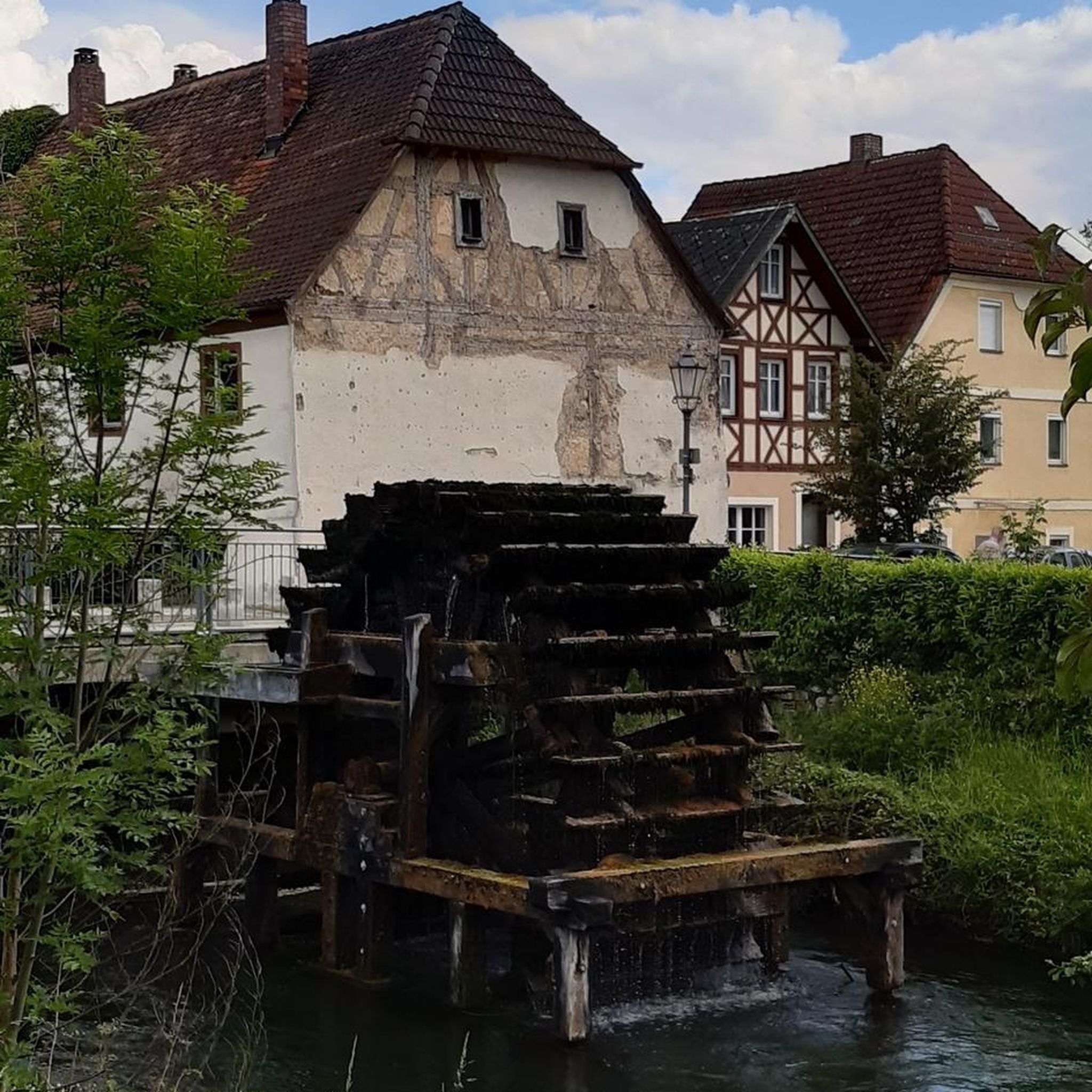
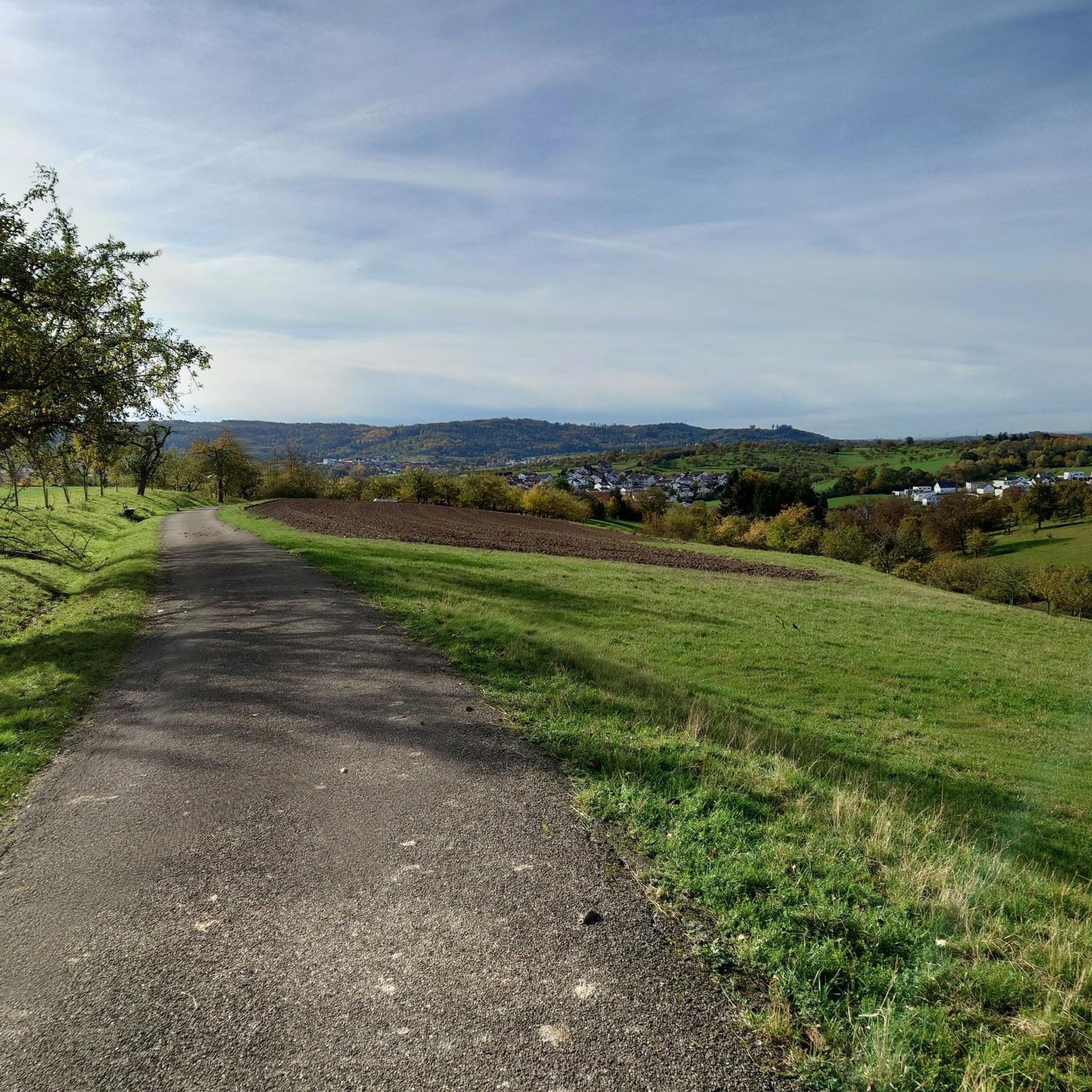
Other adventures around Weissach im Tal

Tips from the Community

From here, visitors can rent rowboats, pedal boats, and small electric boats to experience the lake from a peaceful, nature-close perspective.
6
0

Well-known routes such as the Schützenhausweg circular hiking trail or extensive tours over the nearby Haube lead over the hill and through the Käsbühlstraße of the same name. A playground on Käsbühlstraße serves as a landmark for families.
0
0

Especially at high water levels, you can clearly see the different colors of the Murr and Weissach.
0
0

Good to know if the "juice" runs out
0
0

Charging station for e-bikes
0
0
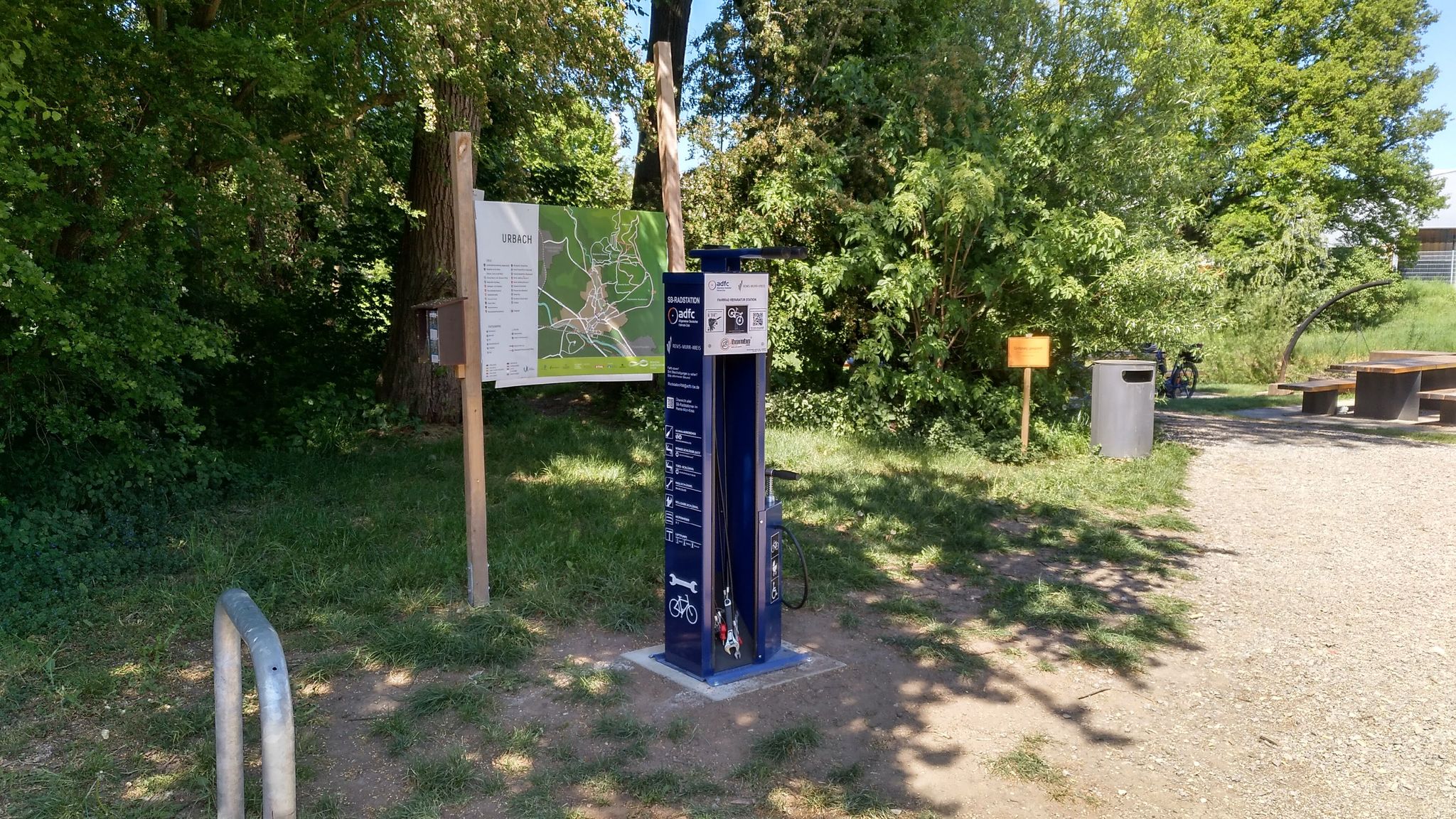
Bicycle service station
0
0

In the drained lake you can see the sandbank as a hill
0
1

refreshing spring water with a bench to rest
0
0
Frequently Asked Questions
How many mountaineering routes are available around Weissach im Tal?
This guide features 5 distinct mountaineering routes around Weissach im Tal, offering a range of experiences from easy strolls to more challenging moderate hikes through the scenic Swabian Forest foothills.
Are there any easy mountaineering routes suitable for beginners or families?
Yes, there is one easy mountaineering route available: Backnang Outdoor Pool – Murr Weir loop from Backnang. This route is 6.7 miles (10.8 km) long and takes approximately 2 hours to complete, making it a great option for those looking for a less strenuous experience.
Can I find circular mountaineering routes in Weissach im Tal?
Absolutely. Most of the routes in this guide are circular, allowing you to start and end at the same point. For example, the popular Wieslauf Gorge Waterfall – Ebnisee loop from Wieslaufschlucht und Edenbachschlucht and the Hagerwald Lake – Brunnenklinge Sandstone Gorge loop from Kaisersbach are both excellent circular options.
Are there any routes that feature waterfalls or interesting natural gorges?
Yes, the region is known for its natural beauty, including waterfalls and gorges. You can explore the scenic Wieslauf Gorge and its waterfall on the Wieslauf Gorge Waterfall – Ebnisee loop from Wieslaufschlucht und Edenbachschlucht. Another route, the Hagerwald Lake – Brunnenklinge Sandstone Gorge loop from Kaisersbach, takes you through the unique Brunnenklinge Sandstone Gorge.
What kind of terrain can I expect on mountaineering routes around Weissach im Tal?
The terrain around Weissach im Tal is characterized by rolling hills, lush forests, and clear rivers, typical of the Swabian Forest foothills. You'll encounter mixed landscapes with forests, fields, and even wetlands. While there are elevated points offering panoramic views, the routes are primarily suited for strenuous hiking rather than technical climbing.
Are there any specific points of interest or landmarks to look out for on these routes?
Yes, the area offers several natural highlights. You can find impressive rock formations like the Geldmachersklinge Waterfall and Rock Grotto. The region also features various caves such as the Kesselgrotte (Sandstone Cave) and Gallengrotte, which add an interesting dimension to your exploration.
What is the typical duration for mountaineering routes in this area?
The duration of routes varies depending on their length and difficulty. The moderate routes in this guide typically range from 3 hours 28 minutes to 3 hours 51 minutes to complete. For example, the Ebnisee – Wieslauf Gorge Waterfall loop from Althütte takes around 3 hours 51 minutes.
Is Weissach im Tal suitable for advanced mountaineers looking for technical challenges?
Weissach im Tal is primarily suited for strenuous hiking and enjoying panoramic views, not for technical mountaineering or rock climbing that requires specialized equipment. The 'mountain peaks' like Haselstein and Haube are modest in elevation. For technical rock climbing, you would need to look at areas like the Swabian Alb or Blautal, which are further afield.
What do other mountaineers enjoy most about the routes around Weissach im Tal?
Mountaineers using komoot often praise the varied terrain and the beautiful natural landscapes. The routes offer a great mix of dense woodlands, picturesque river valleys, and elevated points with expansive views, making for a rewarding outdoor experience.
Are the mountaineering trails around Weissach im Tal dog-friendly?
Generally, the hiking trails in the Swabian Forest region are dog-friendly, offering plenty of natural spaces for dogs to enjoy. However, it's always advisable to keep dogs on a leash, especially in nature reserves or near wildlife, and to check local regulations for specific areas you plan to visit.
What should I bring for a mountaineering trip in Weissach im Tal?
For mountaineering in Weissach im Tal, it's recommended to bring sturdy hiking boots, appropriate clothing for varying weather conditions, sufficient water and snacks, and a map or GPS device. Given the diverse landscapes, insect repellent can also be useful, especially near wetlands or forests.
Are there any less crowded or 'hidden gem' routes in the area?
While the routes in this guide are popular for their beauty, the Kasbühl Hut loop from Seegut-Semmlersberg offers a slightly different experience, leading through diverse landscapes. Exploring routes during off-peak hours or weekdays can also help you find a quieter experience.
Most popular routes around Weissach im Tal
Most popular attractions around Weissach im Tal

Get inspired with the komoot mobile app


Explore more
Browse the best Mountain Hikes & Routes in other regions.
