The best mountain hikes around Thomasberg
5.0
(5)
124
hikers
10
hikes
Mountaineering routes around Thomasberg are characterized by varied elevations and forested slopes within the Bezirk Neunkirchen region. The terrain offers a mix of ascents and descents, providing engaging challenges for mountaineers. This area features a network of trails that traverse natural landscapes, including sections with open views and dense woodlands. The routes are suitable for exploring the region's natural beauty through active outdoor pursuits.
Best mountaineering routes around Thomasberg
- The most popular mountaineering route is Mountaineering loop from Gleißenfeld,…
Last updated: October 5, 2026
5.0
(4)
64
hikers
1.92km
01:08
210m
210m
Moderate mountaineering route. Great for any fitness level. Mostly accessible paths. Sure-footedness required.
8
hikers
6.82km
02:16
240m
240m
Moderate mountaineering route. Good fitness required. Mostly accessible paths. Sure-footedness required.

7
hikers
7.00km
02:21
250m
250m
Hard mountaineering route. Good fitness required. Sure-footedness, sturdy shoes and alpine experience required.
10
hikers
22.4km
07:02
870m
870m
Hard mountaineering route. Very good fitness required. Easily-accessible paths. Suitable for all skill levels.
12
hikers
Moderate mountaineering route. Good fitness required. Mostly accessible paths. Sure-footedness required.
Get access to more routes and recommendations from other explorers.
Already have an account?
Our route recommendations are based on thousands of hikes, rides, and runs completed by other people on komoot.
Start today with a free account
Your next adventure awaits.
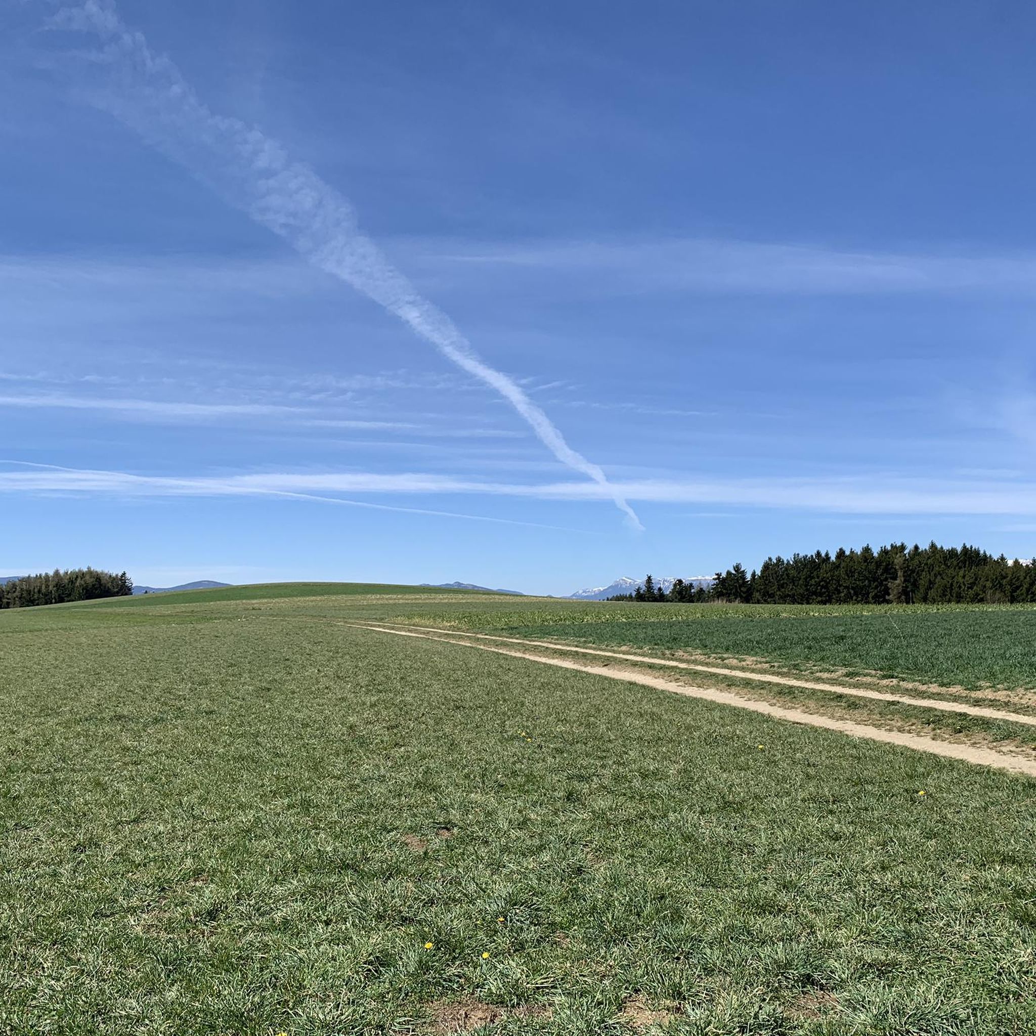
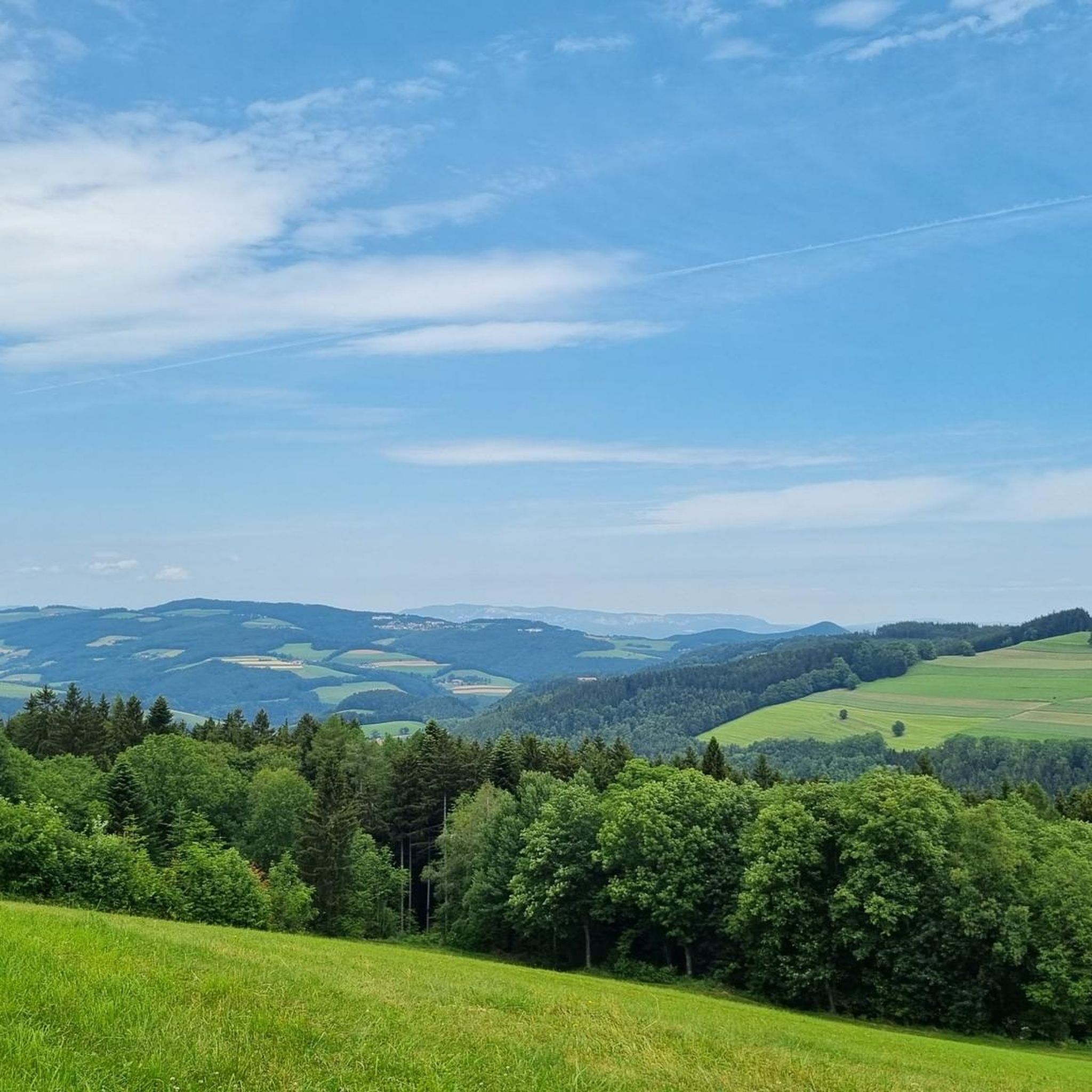
Tips from the Community

The Hallerhaus is a cozy mountain hut on the Wechsel and a popular resting point for hikers. The hut is located in the middle of the quiet forest and alpine landscape and is ideally suited for a stop during a tour over the Niederwechsel. A beautiful place to take a break and enjoy the typical landscape of the Wechsel region.
4
0
The Stoa Alm is a rustic alpine pasture on the Niederwechsel and a beautiful resting point along the hiking route. Surrounded by meadows and the gentle mountain landscape of the Wechsel region, it offers a pleasant opportunity for a break. The quiet, original atmosphere away from the more frequented paths is particularly charming.
4
0
The Festenburg summit is located on the Niederwechsel and is a rather inconspicuous, natural point along the ridge. Instead of a distinct summit structure, forest and the gentle landscape of the Wechselland characterize this section. A quiet waypoint away from the more prominent peaks – typical for the elongated ridges of the Wechsel Mountains.
3
0

The beech forest at Schlossberg is a valuable natural forest reserve, particularly known for its structure and species-rich flora. It offers habitat for diverse forest communities, often on poorer silicate substrates, and is scenically attractive. Hikes in this area are popular, for example, around the Türkensturz near Seebenstein.
3
0
In September 1532, a Turkish army was decisively defeated near Enzesfeld-Fischau. Light Turkish horsemen (Akıncıs) were scattered into the Pittental valley. They are said to have been chased by enraged peasants over the rocks near Gleißenfeld and driven to their deaths - the "Türkensturz" (Turk's Fall). To commemorate this, Prince von und zu Liechtenstein had an artificial ruin erected here in 1824/25.
3
0

It is always open during the ski season, including Fridays.
1
0

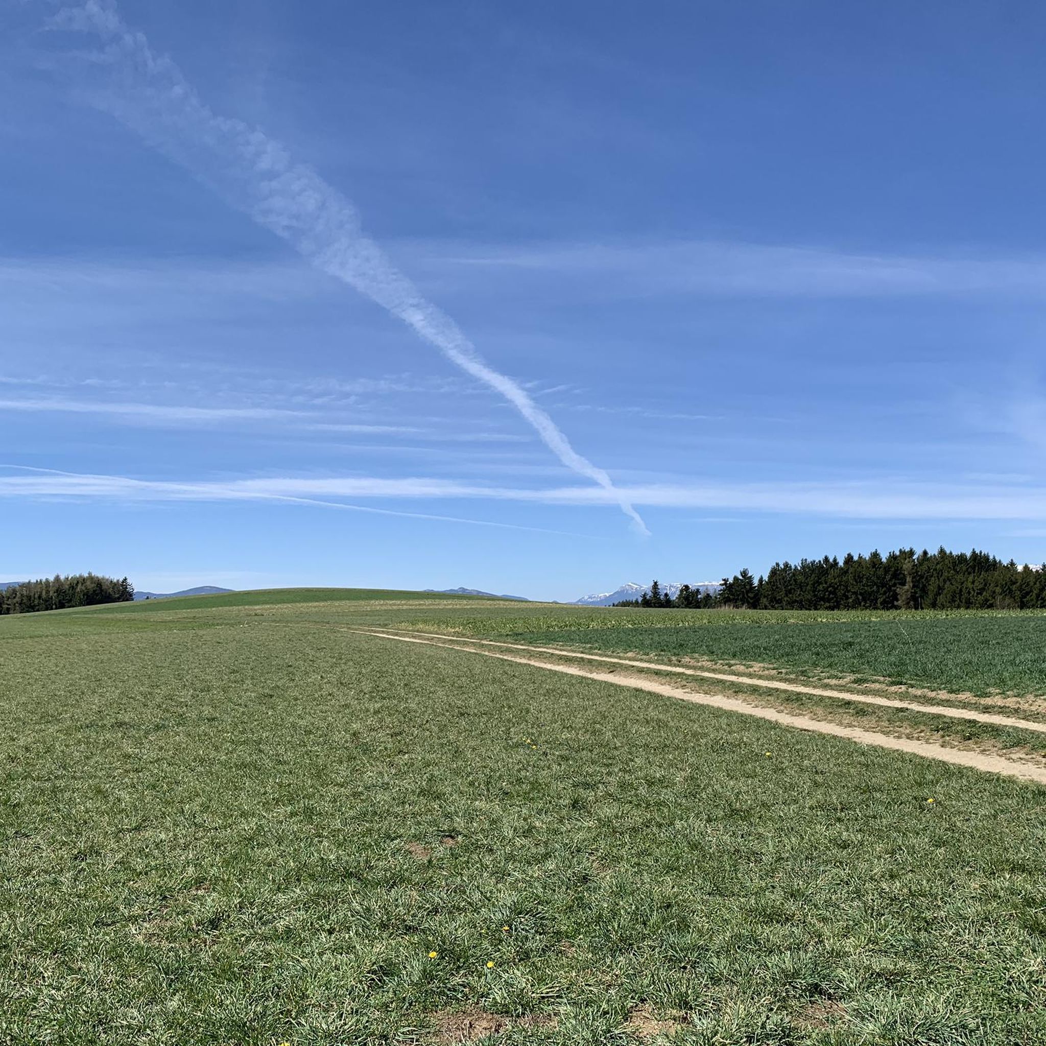
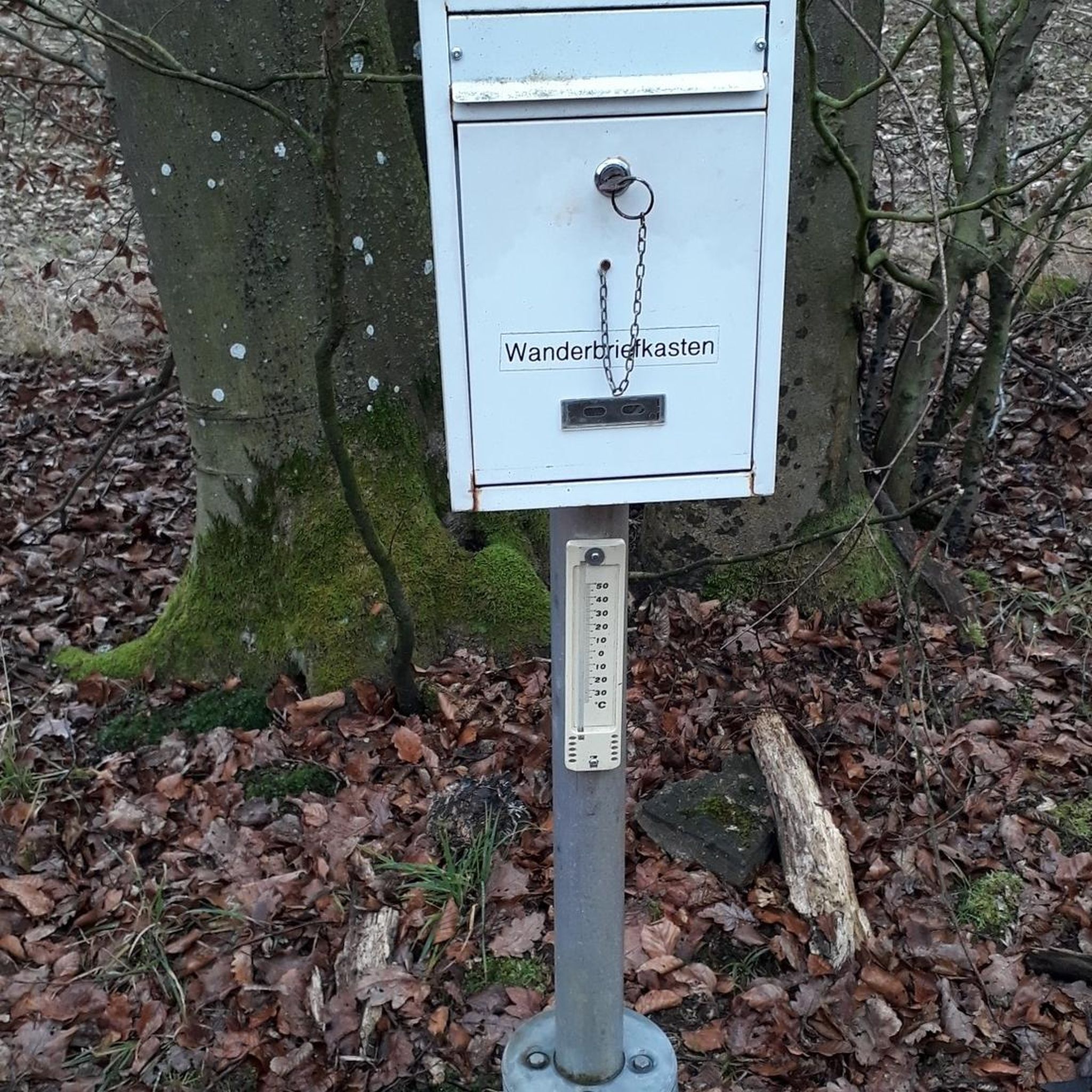
Beautiful location, good place to stop for a break, right next to the mountain bike trails and the start of the "Haller Trail".
2
0

Frequently Asked Questions
What is the general difficulty level of mountaineering routes around Thomasberg?
The mountaineering routes in Thomasberg offer a range of difficulties. You'll find a good selection of moderate trails, with 7 out of 10 routes falling into this category, perfect for those with some experience. For more seasoned mountaineers, there are also 3 difficult routes that provide a greater challenge.
Are there any circular mountaineering routes in Thomasberg?
Yes, Thomasberg features several excellent circular mountaineering routes. For a moderate option, consider the Mountaineering loop from Gleißenfeld, which is 7.5 km long. If you're looking for a more challenging circular tour, the Zierteich loop from Seebenstein offers a difficult 6.9 km path with significant elevation changes.
What are some longer, more challenging mountaineering options in the Thomasberg area?
For those seeking a substantial challenge, the Hallerhaus Mountain Lodge – Vorauer Schwaig Alm loop from Mönichkirchen is an excellent choice. This difficult route spans 22.6 km and typically takes over 7 hours to complete, leading you through alpine pastures and past mountain lodges.
What can I expect to see along the mountaineering routes in Thomasberg?
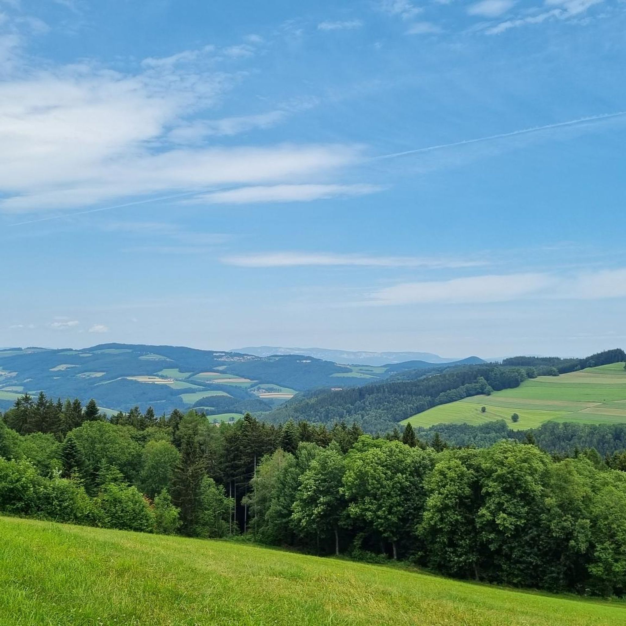
The routes around Thomasberg are known for their varied elevations and forested slopes, offering a mix of open views and dense woodlands. You might encounter historical sites like the area around Burg Seebenstein on some tours. Additionally, the region is dotted with cozy mountain huts, such as the Mönichkirchner Schwaig Mountain Inn or Herrgottschnitzerhütte, which can serve as great viewpoints or rest stops.
Are there any family-friendly mountaineering routes suitable for beginners in Thomasberg?
While the guide focuses on mountaineering, which generally requires some fitness, several moderate routes could be suitable for active families or beginners looking for a taste of the mountains. The Mountaineering loop from Burg Seebenstein is a shorter moderate option at 4.4 km, offering a good introduction to the region's terrain without being overly strenuous.
What is the best season for mountaineering in Thomasberg?
The ideal season for mountaineering in Thomasberg is typically from late spring to early autumn (May to October). During these months, the weather is generally more stable, trails are clear of snow, and the natural landscapes are at their most vibrant. Always check local weather conditions before heading out.
Are there any cafes or mountain lodges along the routes for refreshments?
Yes, the Thomasberg area offers several mountain lodges and huts where you can stop for refreshments. The Mönichkirchner Schwaig Mountain Inn and Herrgottschnitzerhütte are popular spots. The longer Hallerhaus Mountain Lodge – Vorauer Schwaig Alm loop specifically passes by mountain lodges, providing opportunities for breaks.
What do other mountaineers say about the routes in Thomasberg?
The mountaineering routes in Thomasberg are highly regarded by the komoot community, holding an average score of 5.0 stars from 5 reviews. Users often praise the varied terrain, the engaging challenges, and the natural beauty of the forested slopes and scenic viewpoints.
Is public transport available to reach the mountaineering trailheads in Thomasberg?
Access to trailheads in mountainous regions like Thomasberg by public transport can be limited. While some starting points might be reachable by local bus services, it's often more convenient to travel by car. We recommend checking local bus schedules for specific starting points like Gleißenfeld or Seebenstein if you plan to use public transport.
Where can I find parking for mountaineering routes in Thomasberg?
Parking is generally available near the starting points of many routes. For example, you can typically find parking facilities close to Gleißenfeld for routes like the Mountaineering loop from Katastralgemeinde Gleißenfeld, or near Seebenstein for tours like the Zierteich loop from Seebenstein. Always look for designated parking areas and be mindful of any local regulations or fees.
Are there any specific permits required for mountaineering in Thomasberg?
Generally, no specific permits are required for recreational mountaineering on marked trails in the Thomasberg region. However, it's always good practice to respect private property, follow local signage, and adhere to any regulations regarding nature protection areas.
What are the typical lengths of mountaineering routes in Thomasberg?
The lengths of mountaineering routes in Thomasberg vary to suit different preferences. You'll find shorter moderate loops around 4.4 km, such as the Mountaineering loop from Burg Seebenstein, up to longer, more demanding tours like the 22.6 km Hallerhaus Mountain Lodge – Vorauer Schwaig Alm loop.
Most popular routes around Thomasberg
Most popular attractions around Thomasberg

Get inspired with the komoot mobile app


Explore more
Browse the best Mountain Hikes & Routes in other regions.
