The best mountain hikes around Mönichkirchen
4.7
(3)
47
hikers
5
hikes
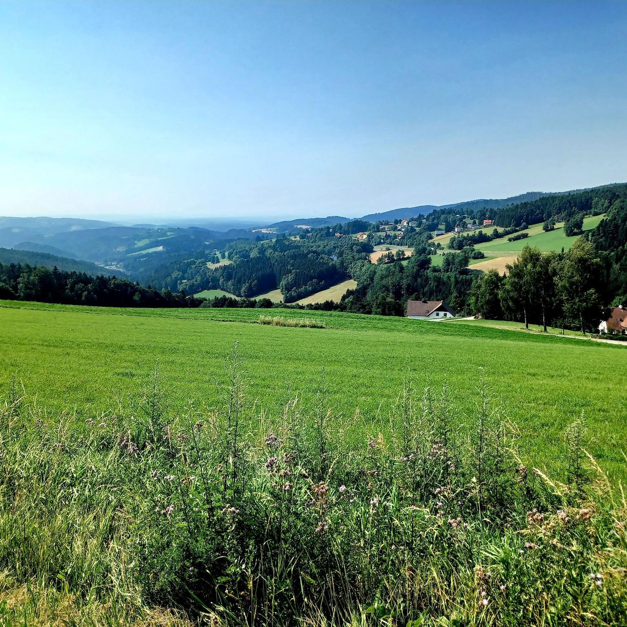
Mountaineering routes around Mönichkirchen traverse the scenic Wechsel region, characterized by its alpine peaks and forested slopes. The area offers varied terrain, from challenging ascents to high-altitude plateaus. Elevations provide expansive views of the surrounding landscape, with routes often leading through mountain pastures and past traditional lodges. This mountainous environment is well-suited for diverse mountaineering experiences.
Best mountaineering routes around Mönichkirchen
- The most popular mountaineering route is Hochwechsel Summit – Chapel on Hochwechsel loop from Katastralgemeinde Neustift am Alpenwald,…
Last updated: October 5, 2026
16
hikers
Moderate mountaineering route. Good fitness required. Mostly accessible paths. Sure-footedness required.
4.0
(1)
10
hikers
Moderate mountaineering route. Good fitness required. Mostly accessible paths. Sure-footedness required.

10
hikers
22.4km
07:02
870m
870m
Hard mountaineering route. Very good fitness required. Easily-accessible paths. Suitable for all skill levels.
5.0
(1)
8
hikers
Hard mountaineering route. Very good fitness required. Easily-accessible paths. Suitable for all skill levels.
5.0
(1)
3
hikers
19.7km
07:15
1,010m
1,010m
Hard mountaineering route. Very good fitness required. Mostly accessible paths. Sure-footedness required.
Our route recommendations are based on thousands of hikes, rides, and runs completed by other people on komoot.
Start today with a free account
Your next adventure awaits.
Popular around Mönichkirchen

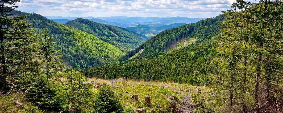
Viennese Alpenbogen – Lower Austria's most beautiful peaks
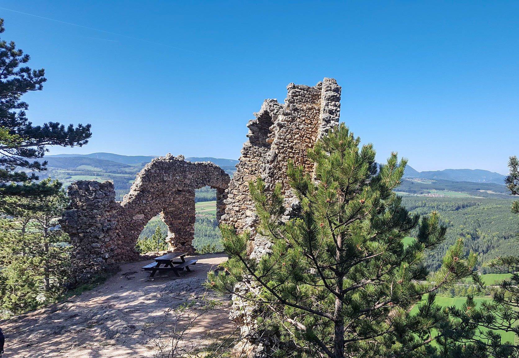
Alpannonia – Crossing borders from Austria to Hungary
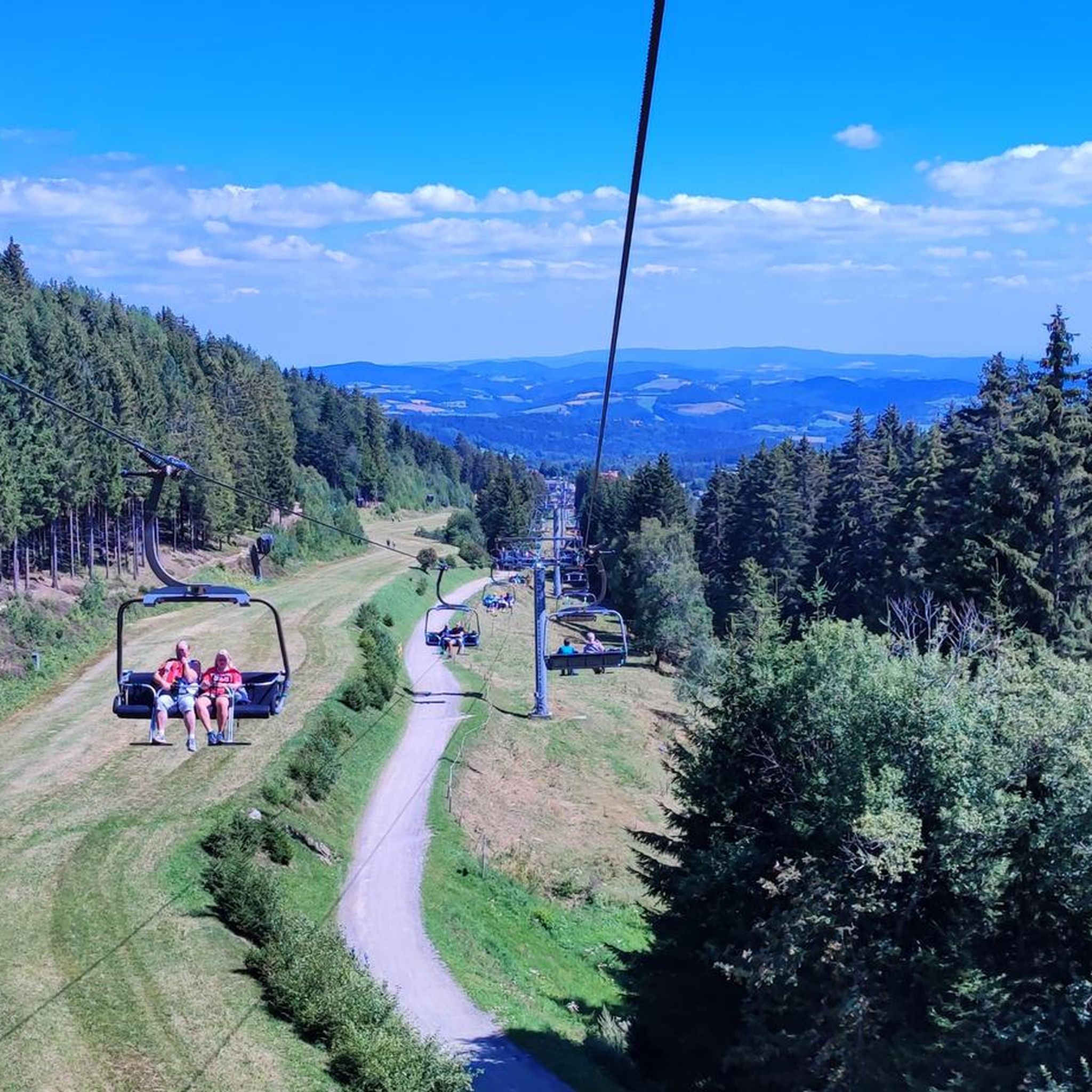
Family adventures in Vienna's local mountains
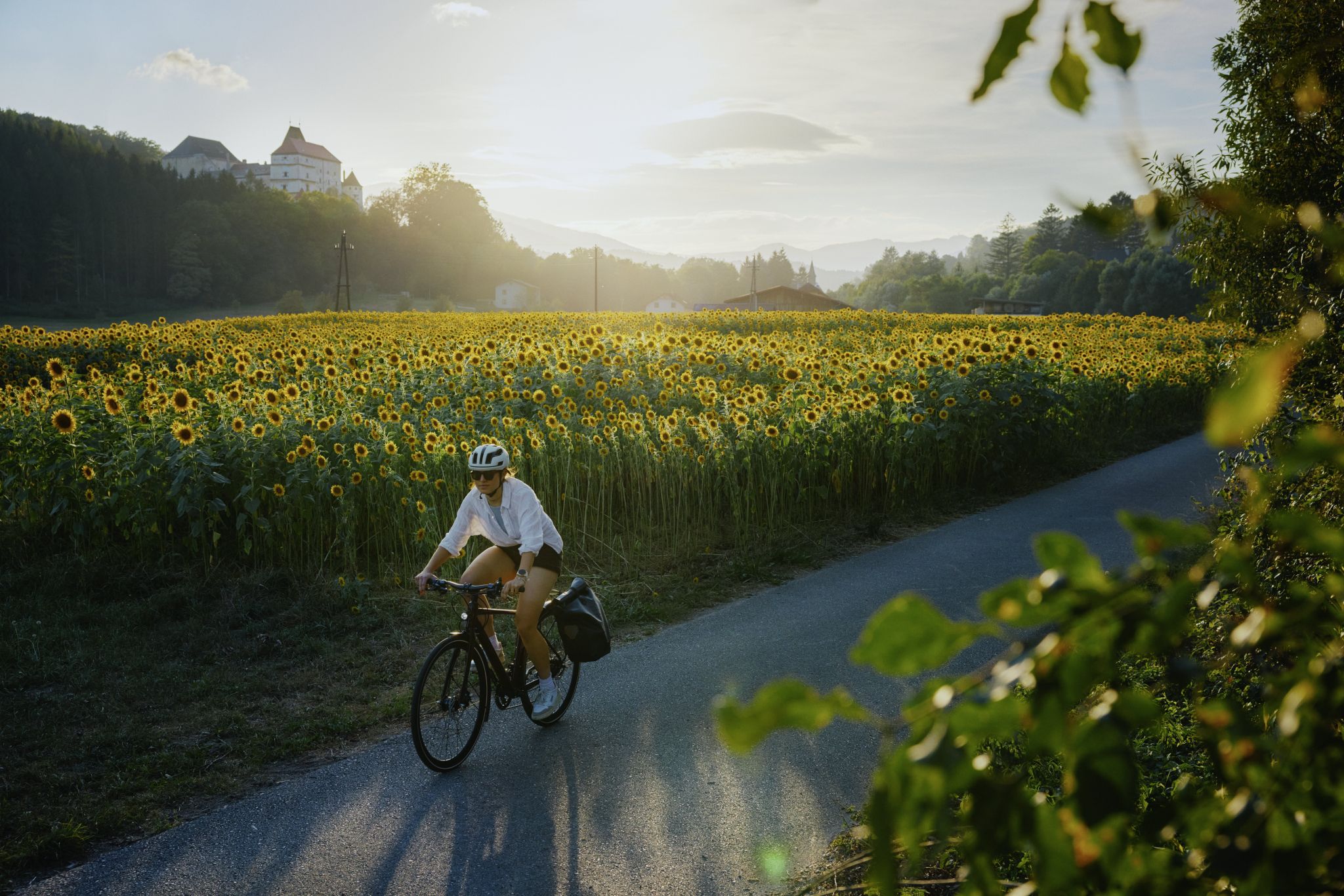
Ride & Relax – Mit dem Rad in den Wiener Alpen
Hiking around Mönichkirchen
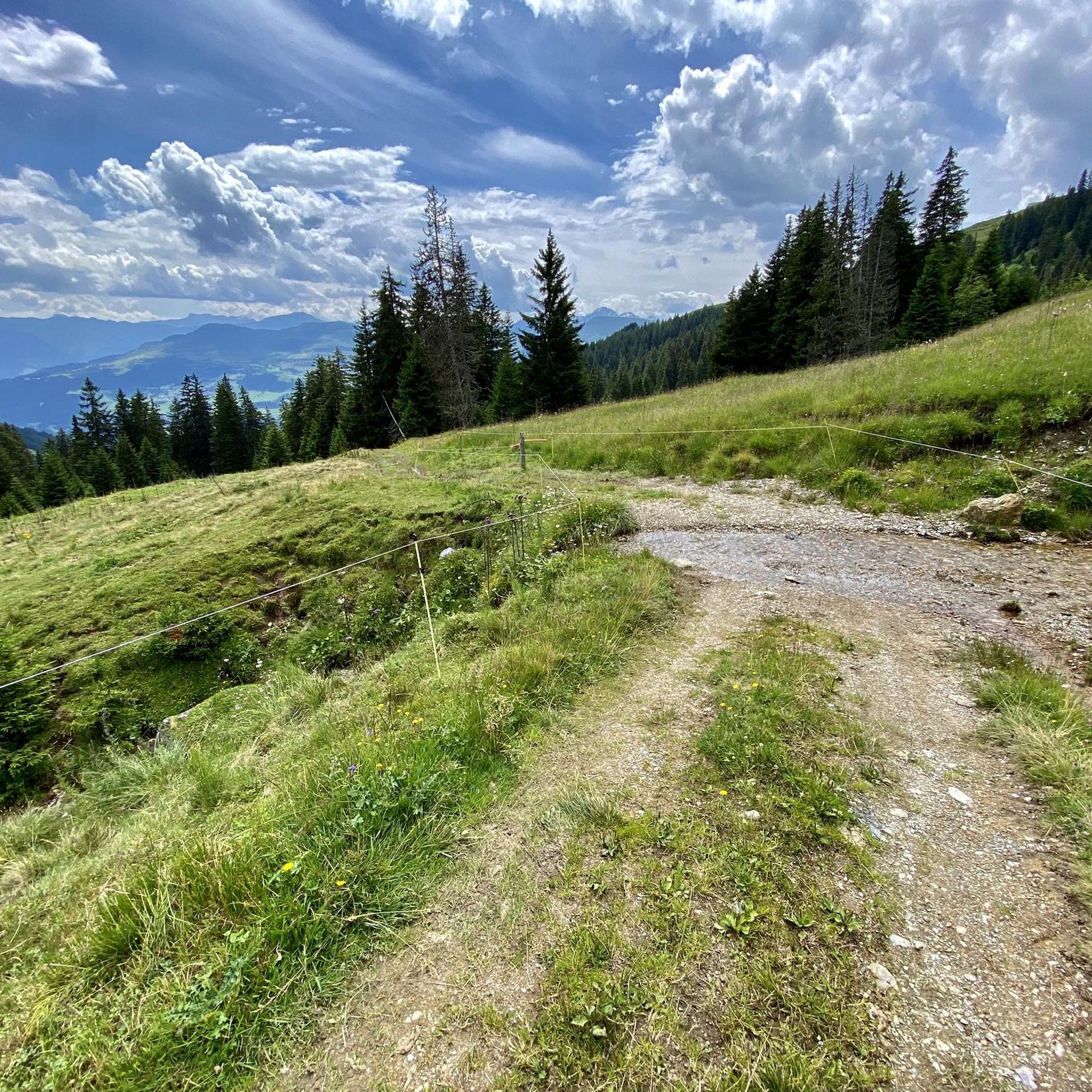
Gravel biking around Mönichkirchen
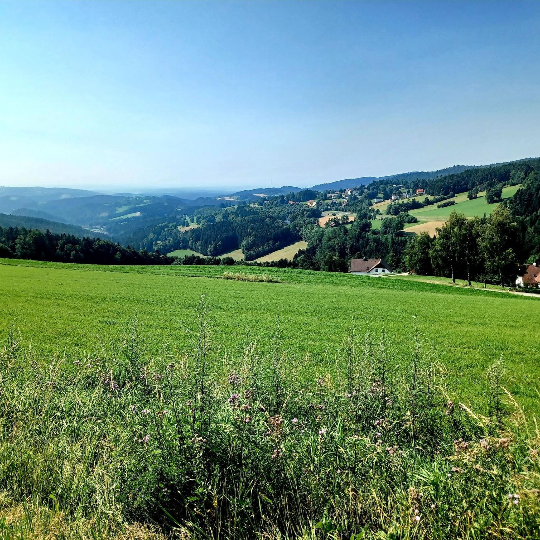
Cycling around Mönichkirchen
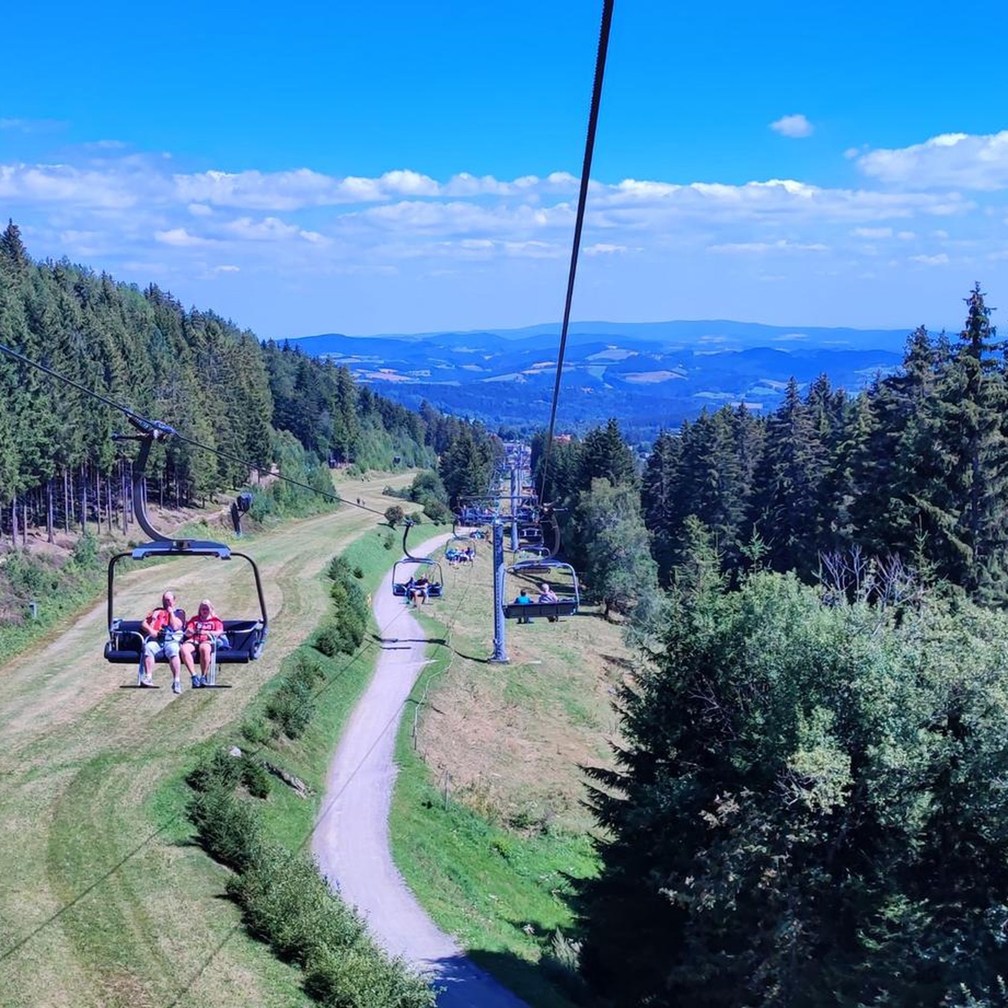
Road Cycling Routes around Mönichkirchen
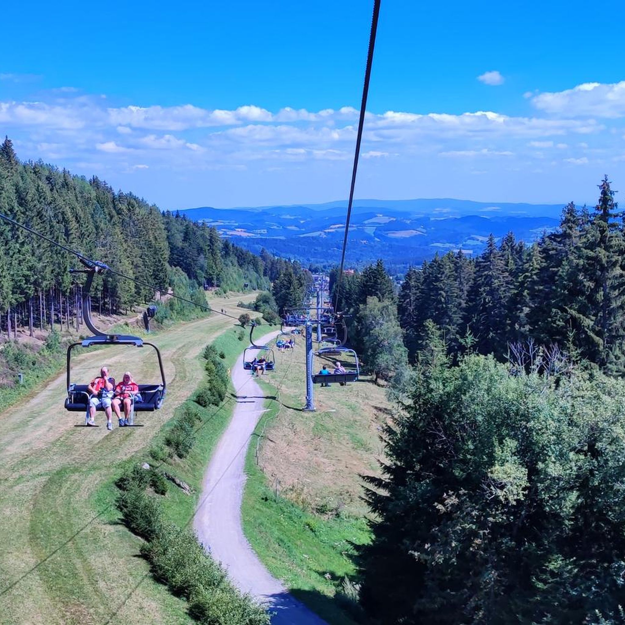
MTB Trails around Mönichkirchen
Running Trails around Mönichkirchen
Other adventures around Mönichkirchen


Tips from the Community

The waterfall is wonderfully beautiful, and you don't have to go far from the forest path, about 80m. Be careful on the big stones and roots! Fortunately, we can take excellent photos from the small wooden bridge laid across.
0
0

The Hallerhaus is a cozy mountain hut on the Wechsel and a popular resting point for hikers. The hut is located in the middle of the quiet forest and alpine landscape and is ideally suited for a stop during a tour over the Niederwechsel. A beautiful place to take a break and enjoy the typical landscape of the Wechsel region.
4
0
The Stoa Alm is a rustic alpine pasture on the Niederwechsel and a beautiful resting point along the hiking route. Surrounded by meadows and the gentle mountain landscape of the Wechsel region, it offers a pleasant opportunity for a break. The quiet, original atmosphere away from the more frequented paths is particularly charming.
4
0
The Festenburg summit is located on the Niederwechsel and is a rather inconspicuous, natural point along the ridge. Instead of a distinct summit structure, forest and the gentle landscape of the Wechselland characterize this section. A quiet waypoint away from the more prominent peaks – typical for the elongated ridges of the Wechsel Mountains.
3
0
The Umschussriegel is a largely open summit plateau at an altitude of 1,720 meters in the Wechsel area, located just below the Hochwechsel. From the open plateau, there is a wide panoramic view of the Wechsel area and the surrounding mountains in clear weather. Together with Schöberlriegel and Hochwechsel, it forms a particularly beautiful section of the scenic ridge hike across the Wechselkamm.
3
0
The border stone on the Grünberg marks a transition between Lower Austria and Styria. It lies directly on the state border and is a small, but interesting landmark along the hiking route. An inconspicuous detail on the path that makes it visible that you are switching from one federal state to another here.
3
0
The Wetterkoglerhaus is located directly on the summit of the Hochwechsel at 1,743 meters and is a hut of the Austrian Alpine Club. With good visibility, the hut offers a magnificent panorama over the Wechsel region to Schneeberg, Rax, and Hochschwab. Due to its immediate proximity to the summit cross and chapel, the Wetterkoglerhaus is an ideal resting and refreshment stop at the highest point of the tour.
4
0
The Dreiländereck lies in a saddle between Arabichl and Umschußriegel and is an important junction in the Wechsel area. Contrary to what the name suggests, three federal states do not meet here; the designation apparently dates back to the confluence of three property boundaries. From here, paths branch off in the direction of Hochwechsel, Marienseer Schwaig, Kranichberger Schwaig, and Steyersberger Schwaig, among others.
4
0
Frequently Asked Questions
What is the general difficulty level of mountaineering routes around Mönichkirchen?
The mountaineering routes in the Mönichkirchen area primarily range from moderate to difficult. While there are no easy routes listed, you'll find several moderate options, such as the Hochwechsel Summit – Chapel on Hochwechsel loop from Katastralgemeinde Neustift am Alpenwald, which is 7.0 miles (11.3 km) long. More challenging trails, like the Hallerhaus Mountain Lodge – Vorauer Schwaig Alm loop from Mönichkirchen, offer longer distances and more significant elevation gains.
Are there any circular mountaineering routes available in Mönichkirchen?
Yes, many of the mountaineering routes around Mönichkirchen are designed as loops, allowing you to start and finish at the same point. Examples include the Hochwechsel Summit – Chapel on Hochwechsel loop from Katastralgemeinde Neustift am Alpenwald, which is a moderate 5.2 miles (8.4 km) path, and the more demanding Wiener Alpen Viewpoint – Hallerhaus Mountain Lodge loop from Mönichkirchen, spanning 10.0 miles (16.1 km).
What kind of attractions or landmarks can I expect to see along the mountaineering routes?
The routes often lead through scenic alpine terrain, past traditional mountain lodges, and offer expansive views. You might encounter specific points of interest such as the Hallerhaus Mountain Lodge or the Wetterkogler House. The Hochwechsel summit itself is a significant landmark, often featuring a chapel.
What is the best time of year for mountaineering in Mönichkirchen?
The ideal time for mountaineering in Mönichkirchen is typically from late spring to early autumn (May to October). During these months, the weather is generally more stable, trails are clear of snow, and mountain huts are open. Always check local weather forecasts before heading out, as conditions in alpine regions can change rapidly.
Are there any mountain huts or places to stop for refreshments along the trails?
Yes, the region is dotted with mountain huts and inns. For instance, the Hallerhaus Mountain Lodge and the Mönichkirchner Schwaig Mountain Inn are popular stops where you can rest and enjoy local refreshments. These establishments are often integrated into longer routes, providing convenient breaks.
What do other mountaineers enjoy most about the routes in Mönichkirchen?
The mountaineering routes in Mönichkirchen are highly rated by the komoot community, with an average score of 4.7 stars. Reviewers often praise the diverse alpine scenery, the challenging yet rewarding ascents, and the well-maintained trails that lead to impressive summit views and charming mountain lodges.
Are there any routes suitable for advanced mountaineers looking for a challenge?
Absolutely. For experienced mountaineers seeking a significant challenge, routes like the Hochwechsel – Marienseer Schwaig loop from Katastralgemeinde Neustift am Alpenwald offer substantial distances and elevation gains. This particular route covers 10.9 miles (17.6 km) with considerable ascent, making it a demanding full-day excursion.
Is public transport available to access the mountaineering trailheads?
While specific public transport connections directly to all trailheads might be limited, Mönichkirchen itself is accessible by bus. From the village, you may need to walk or arrange local transport to reach some of the more remote starting points for the mountaineering routes. It's advisable to check local bus schedules and connections in advance.
Where can I park my car when starting a mountaineering route in Mönichkirchen?
Parking is generally available at or near the main starting points for many mountaineering routes around Mönichkirchen. For routes originating from Katastralgemeinde Neustift am Alpenwald or directly from Mönichkirchen, you will typically find designated parking areas. Always look for official parking signs and be mindful of local regulations.
Can I expect to see any wildlife while mountaineering in Mönichkirchen?
The forested slopes and alpine pastures around Mönichkirchen are home to various wildlife. While sightings are never guaranteed, you might encounter deer, chamois, or a variety of bird species. Early mornings or late afternoons often provide the best opportunities for wildlife observation.
Are there any lakes or ponds near the mountaineering routes?
While the primary focus of mountaineering is the peaks and high-altitude terrain, the broader region does feature some small bodies of water. For example, the Bärenlacke Pond and Barefoot Trail is a highlight in the vicinity, offering a different natural experience. These are generally not directly on the high mountaineering paths but can be explored as separate excursions.
Most popular routes around Mönichkirchen
Most popular attractions around Mönichkirchen

Get inspired with the komoot mobile app


Explore more
Browse the best Mountain Hikes & Routes in other regions.
