The best mountain hikes around Weil der Stadt
5.0
(3)
10
hikers
3
hikes
Mountaineering routes Weil der Stadt traverse a landscape characterized by rolling hills, dense woodlands, and river valleys within the Landkreis Böblingen region. The terrain offers varied elevation changes, suitable for moderate mountaineering experiences. Routes often follow established paths through forests and open areas, providing opportunities to explore the natural environment. The region's geology typically features forested slopes and stream-fed valleys, contributing to diverse trail conditions.
Best mountaineering routes around Weil der Stadt
- The most popular mountaineering route is Mountaineering loop…
Last updated: July 2, 2026
5.0
(1)
4
hikers
9.71km
02:50
260m
260m
Moderate mountaineering route. Good fitness required. Easily-accessible paths. Suitable for all skill levels.
5.0
(1)
4
hikers
11.0km
03:06
240m
240m
Moderate mountaineering route. Good fitness required. Easily-accessible paths. Suitable for all skill levels.

Sign up for free
5.0
(1)
1
hikers
7.73km
02:12
170m
170m
Moderate mountaineering route. Good fitness required. Easily-accessible paths. Suitable for all skill levels.
1
hikers
17.0km
04:33
200m
200m
Moderate mountaineering route. Good fitness required. Easily-accessible paths. Suitable for all skill levels.
Our route recommendations are based on thousands of hikes, rides, and runs completed by other people on komoot.
Start today with a free account
Your next adventure awaits.
Login or Signup
Popular around Weil der Stadt
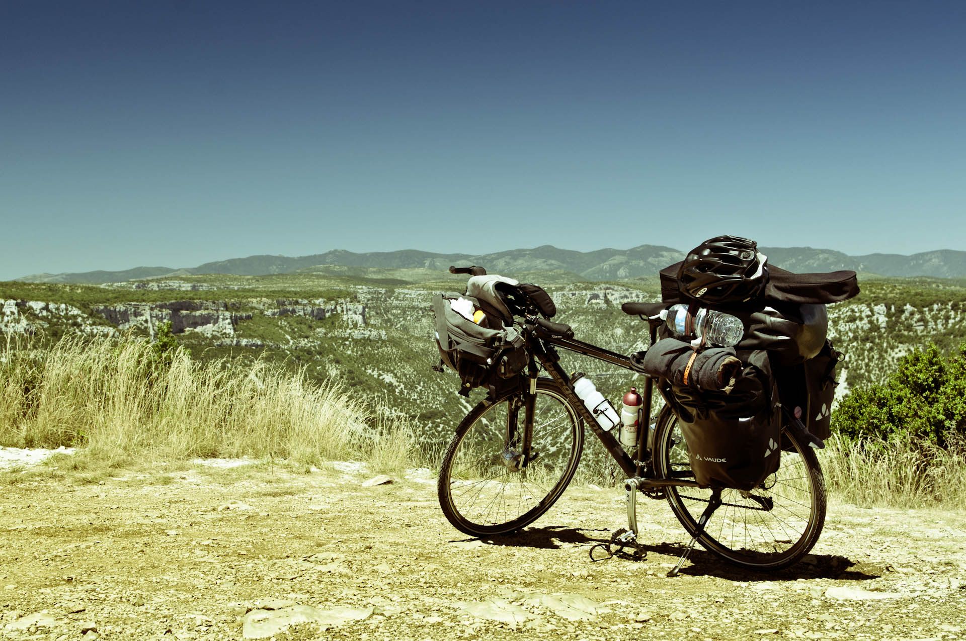
Follow the sun – riding from Germany to the south of France
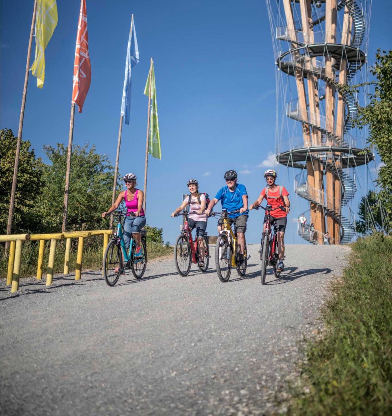
Discover Stuttgart's surroundings – main route of the Stuttgart E-Bike region
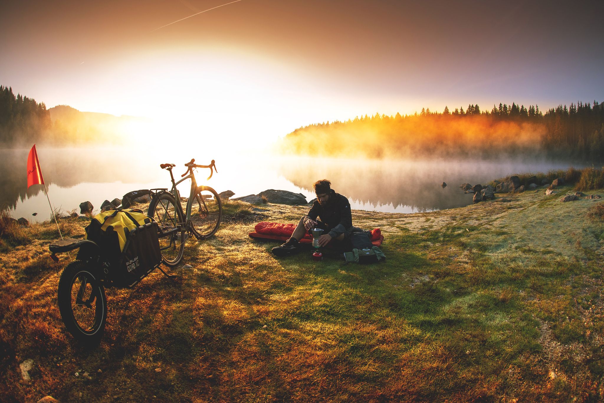
Unforgettable gravel overnighters in the Black Forest
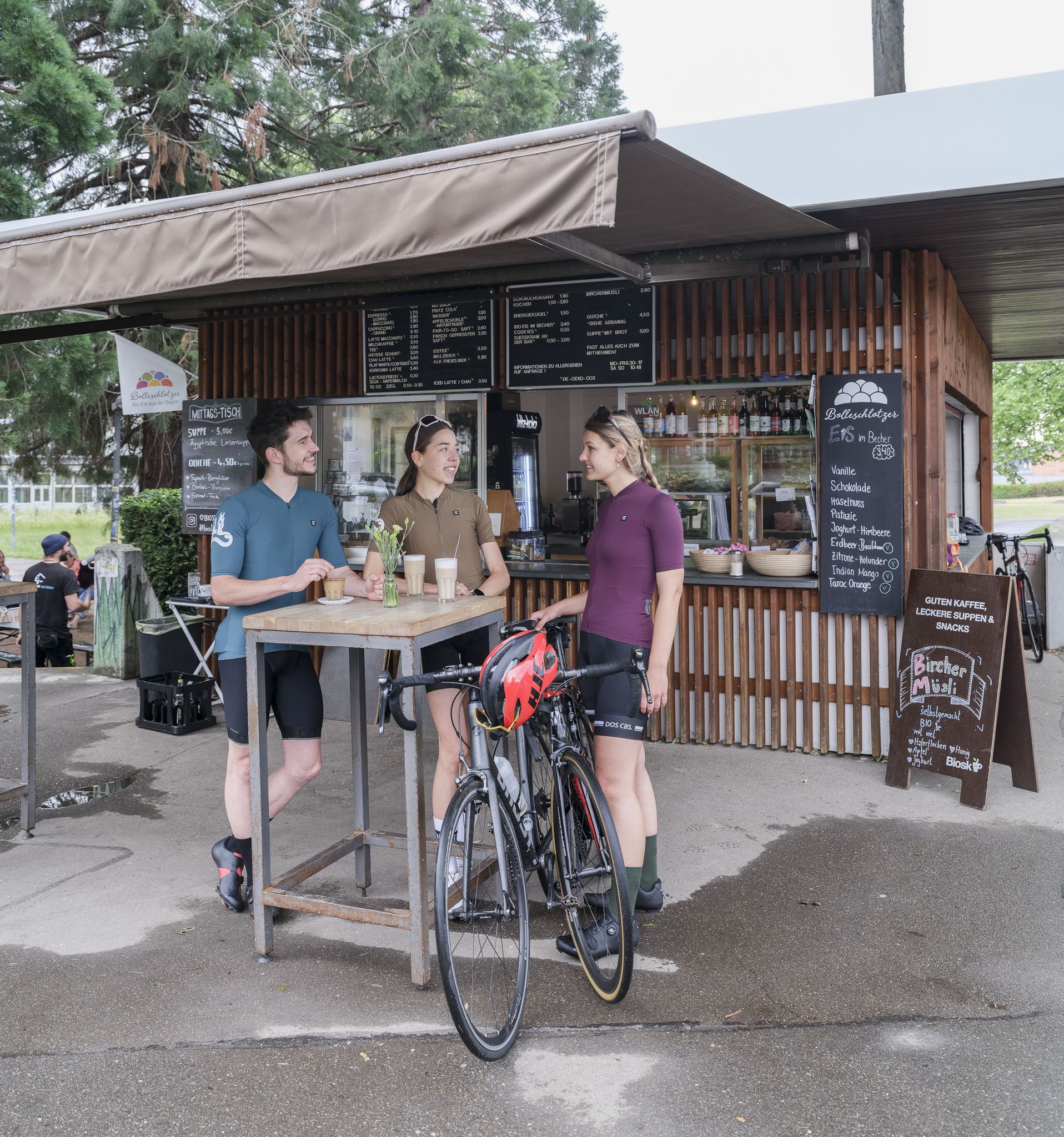
Espresso, ice cream and racing bikes – a dream mix in the Black Forest
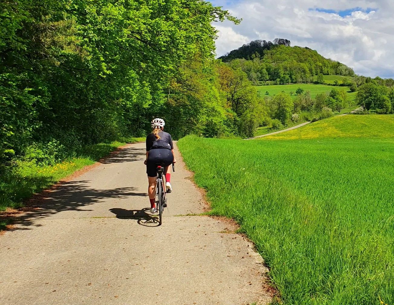
On your bike and out of the cauldron – racing bike fun around Stuttgart
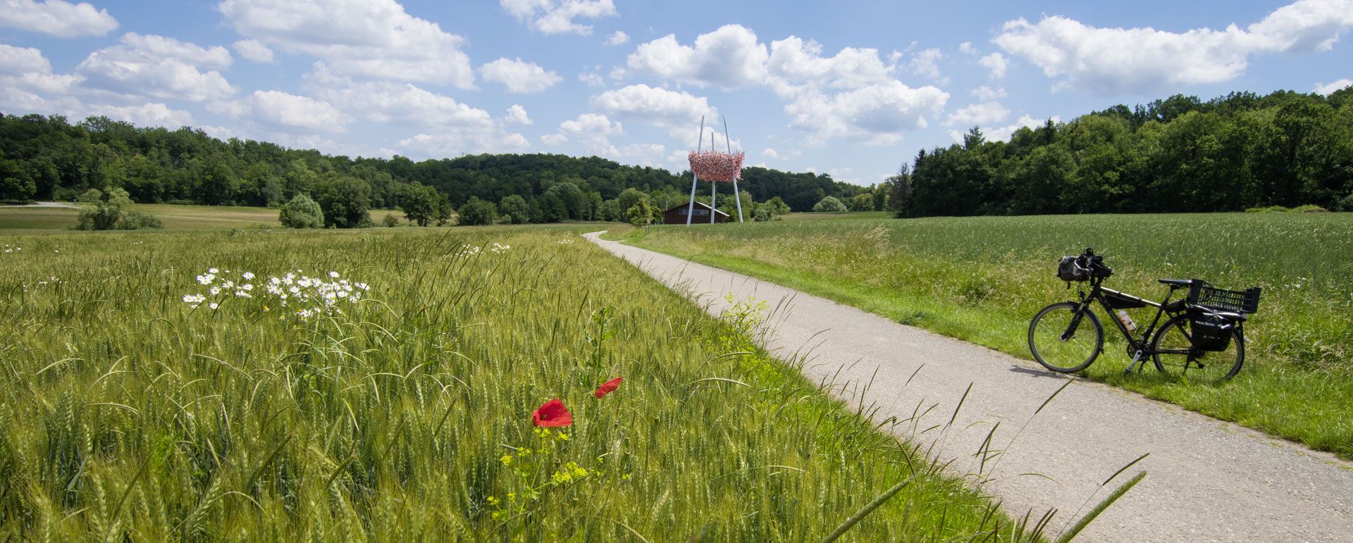
Museums, history and nature – the Museum Cycle Path in southern Germany
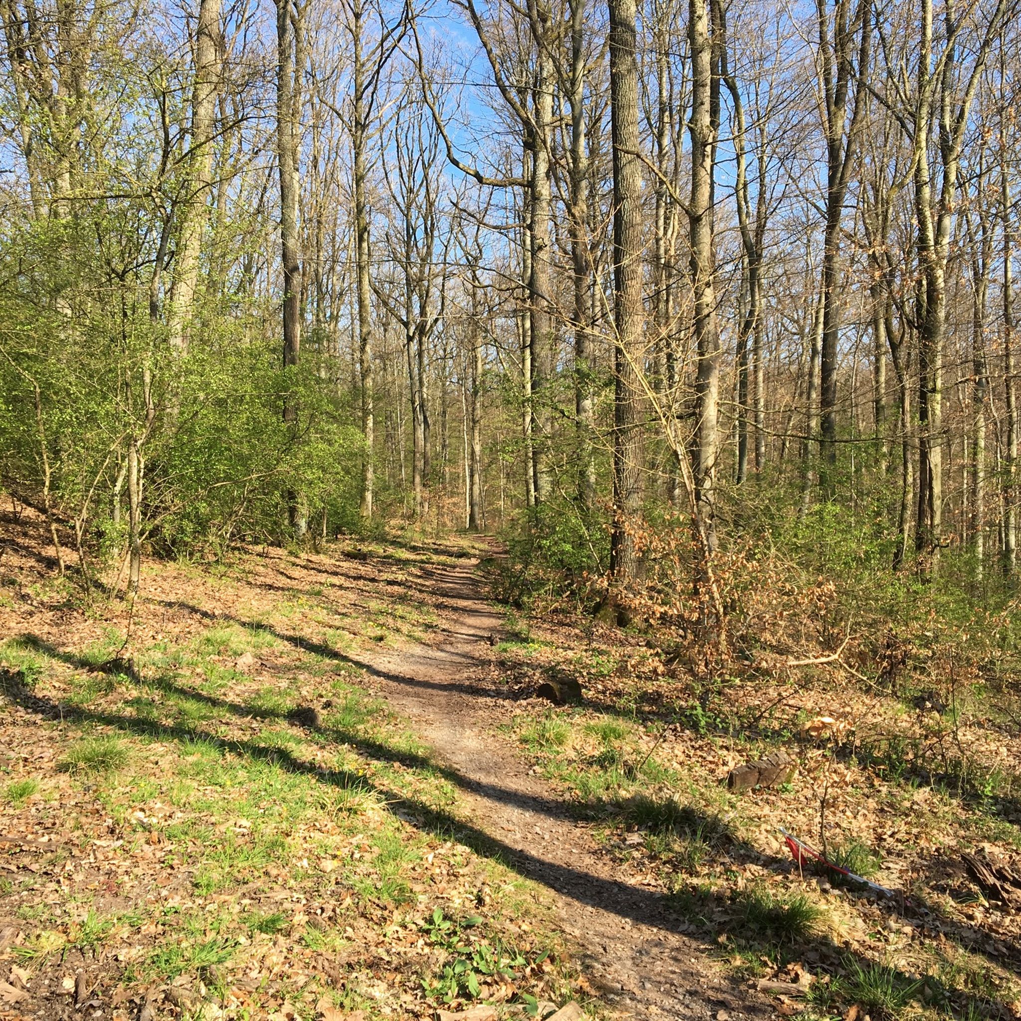
Hiking around Weil der Stadt
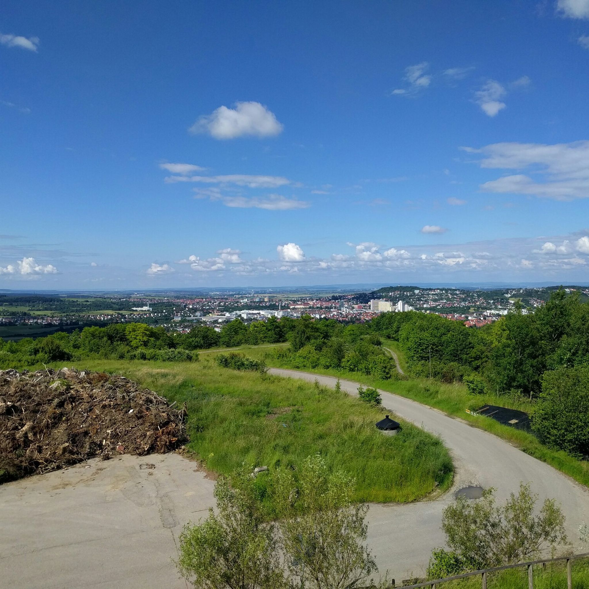
Cycling around Weil der Stadt
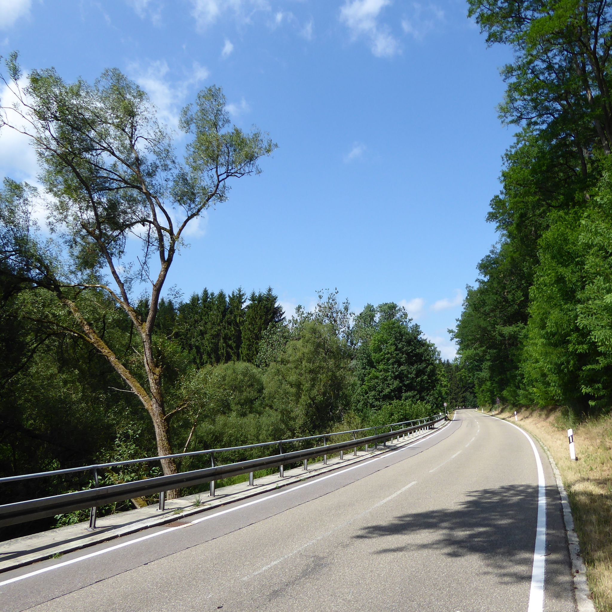
Road Cycling Routes around Weil der Stadt
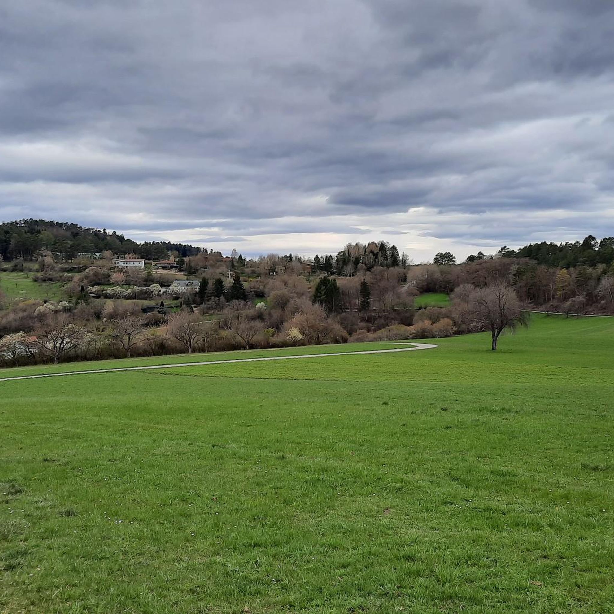
Running Trails around Weil der Stadt
Other adventures around Weil der Stadt


Tips from the Community

The last sausage on December 31st from 11 am to 5 pm. Always worth it. Everyone's in a good mood.
0
0

Be careful, it can be slippery, good footwear is not a bad idea.
0
0
Simply a fantastic hike, very idyllic, one could say.
0
0

View from a car and pedestrian bridge directly onto the Nagold River. In summer, the view is enhanced by floral decorations on the bridge.
3
0


Very beautiful church.
3
1
The Zehntscheune houses the city library, the senior citizens’ café and the family meeting place.
3
1
Frequently Asked Questions
How many mountaineering routes are available around Weil der Stadt?
There are currently 3 mountaineering routes detailed around Weil der Stadt, all offering moderate challenges through the region's diverse landscapes.
Are there any easy or family-friendly mountaineering routes near Weil der Stadt?
The mountaineering routes around Weil der Stadt are generally rated as moderate. While there are no specifically 'easy' routes listed, the terrain of rolling hills and woodlands can be enjoyable for families with some hiking experience. For example, the Lower Kapfenhardter Mill – Eulenbach Trail loop from Kapfenhardt is a shorter option at 4.8 miles (7.7 km) that explores forested valleys and historical mill sites.
What kind of terrain can I expect on mountaineering routes around Weil der Stadt?
The terrain around Weil der Stadt is characterized by rolling hills, dense woodlands, and river valleys within the Landkreis Böblingen region. Routes often follow established paths through forests and open areas, providing varied elevation changes suitable for moderate mountaineering experiences.
Are there any circular mountaineering routes in the area?
Yes, all the featured mountaineering routes around Weil der Stadt are circular. You can explore options like the Mountaineering loop from Bad Liebenzell or the Kneipp Becken loop from Monbach-Neuhausen, which both offer scenic round trips.
What are some interesting natural attractions or viewpoints along the mountaineering routes?
While specific viewpoints are not detailed for every route, the region offers natural beauty. You might find interesting natural monuments like the Venusberg–Wolfsäcker–Besental/Halde Nature Reserve or the Feuerbacher Heide-Dickenberg Nature Reserve in the broader area. The routes themselves traverse dense woodlands and river valleys, providing scenic natural settings.
Can I bring my dog on the mountaineering routes around Weil der Stadt?
Generally, dogs are welcome on most public trails in Germany, especially in natural areas like those around Weil der Stadt. However, it's always advisable to keep your dog on a leash, especially in nature reserves or near wildlife, and to check local regulations for specific routes or protected areas.
What is the best time of year for mountaineering in Weil der Stadt?
The region's rolling hills and woodlands are enjoyable throughout much of the year. Spring and autumn offer pleasant temperatures and beautiful foliage, while summer provides longer daylight hours. Winter mountaineering is possible, but conditions can vary, with potential for snow or ice, especially on higher ground or shaded paths.
Are there any longer or more challenging mountaineering options for experienced hikers?
While all listed routes are moderate, the Old Quarry on Betzenbuckel – Schlegler Castle loop from Heimsheim is the longest option at 10.7 miles (17.2 km), offering a more extended experience through the region's varied terrain for those seeking a longer day out.
What do other mountaineers enjoy most about the routes in Weil der Stadt?
The routes in Weil der Stadt are highly rated by the komoot community, with an average score of 5.0 stars. Reviewers often praise the varied terrain, the peaceful forested areas, and the well-maintained paths that make for an enjoyable mountaineering experience.
Are there any historical or cultural points of interest near the mountaineering trails?
Yes, the region has historical elements. For instance, the Lower Kapfenhardter Mill – Eulenbach Trail loop from Kapfenhardt passes by historical mill sites. Additionally, the broader area features various caves, such as Hermit's Cave and Beutelstein (Mondloch) — Sandstone cave with bench, which can be explored separately.
Are there opportunities to see local flora and fauna while mountaineering?
The dense woodlands and river valleys around Weil der Stadt provide a rich habitat for local flora and fauna. Hikers often encounter diverse plant life, especially during spring and summer, and may spot various bird species or other forest animals in their natural environment.
Most popular routes around Weil der Stadt
Most popular attractions around Weil der Stadt

Get inspired with the komoot mobile app


Explore more
Browse the best Mountain Hikes & Routes in other regions.
