The best mountain hikes around Schramberg
4.0
(2)
11
hikers
4
hikes
Mountaineering routes around Schramberg are set within the central Black Forest, a region characterized by its forested mountain range, numerous hills, and river valleys. The landscape features gneiss and granite formations, contributing to rocky paths and crags that offer varied terrain for exploration. Schramberg, known as the "Town of Five Valleys," ranges in elevation from 400 to 790 meters above sea level, providing diverse ascents and descents.
Best mountaineering routes around Schramberg
- The most popular mountaineering route is Kapfhäusle Thatched…
Last updated: July 1, 2026
2
hikers
Moderate mountaineering route. Good fitness required. Easily-accessible paths. Suitable for all skill levels.
3
hikers
11.1km
03:03
190m
190m
Moderate mountaineering route. Good fitness required. Easily-accessible paths. Suitable for all skill levels.

Sign up for free
3.0
(1)
2
hikers
6.42km
01:47
120m
120m
Easy mountaineering route. Great for any fitness level. Easily-accessible paths. Suitable for all skill levels.
5.0
(1)
2
hikers
14.4km
04:42
630m
630m
Moderate mountaineering route. Good fitness required. Mostly accessible paths. Sure-footedness required.
1
hikers
Moderate mountaineering route. Good fitness required. Easily-accessible paths. Suitable for all skill levels.
Our route recommendations are based on thousands of hikes, rides, and runs completed by other people on komoot.
Start today with a free account
Your next adventure awaits.
Login or Signup
Popular around Schramberg
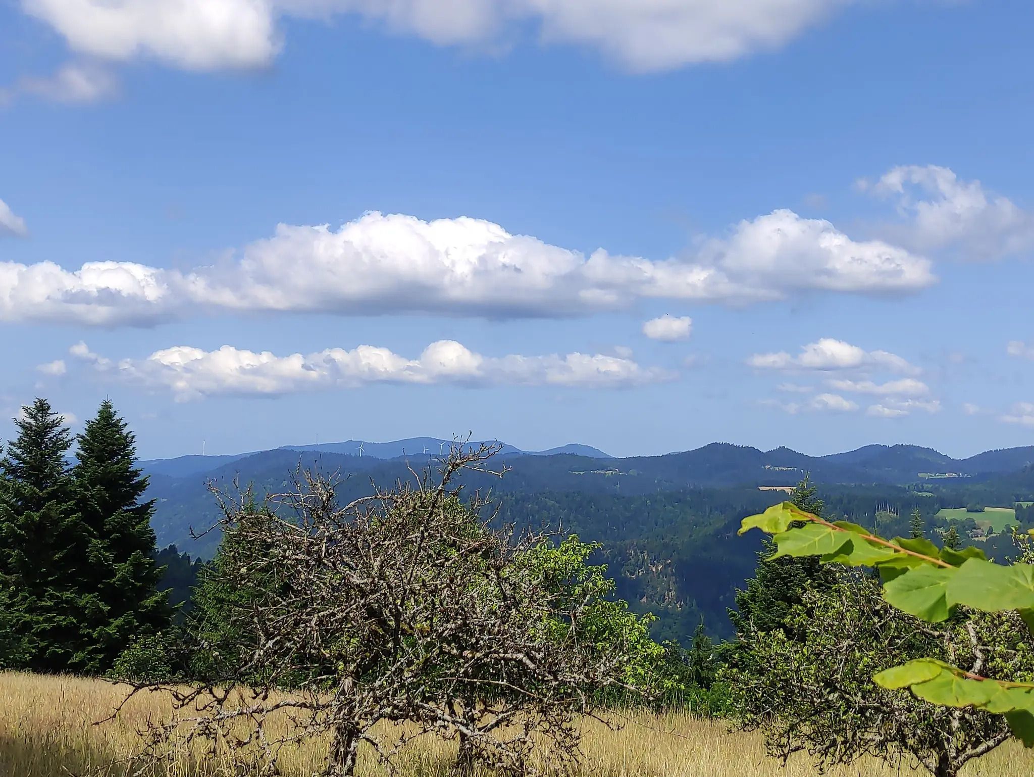
The Eastern Path of the Black Forest Association
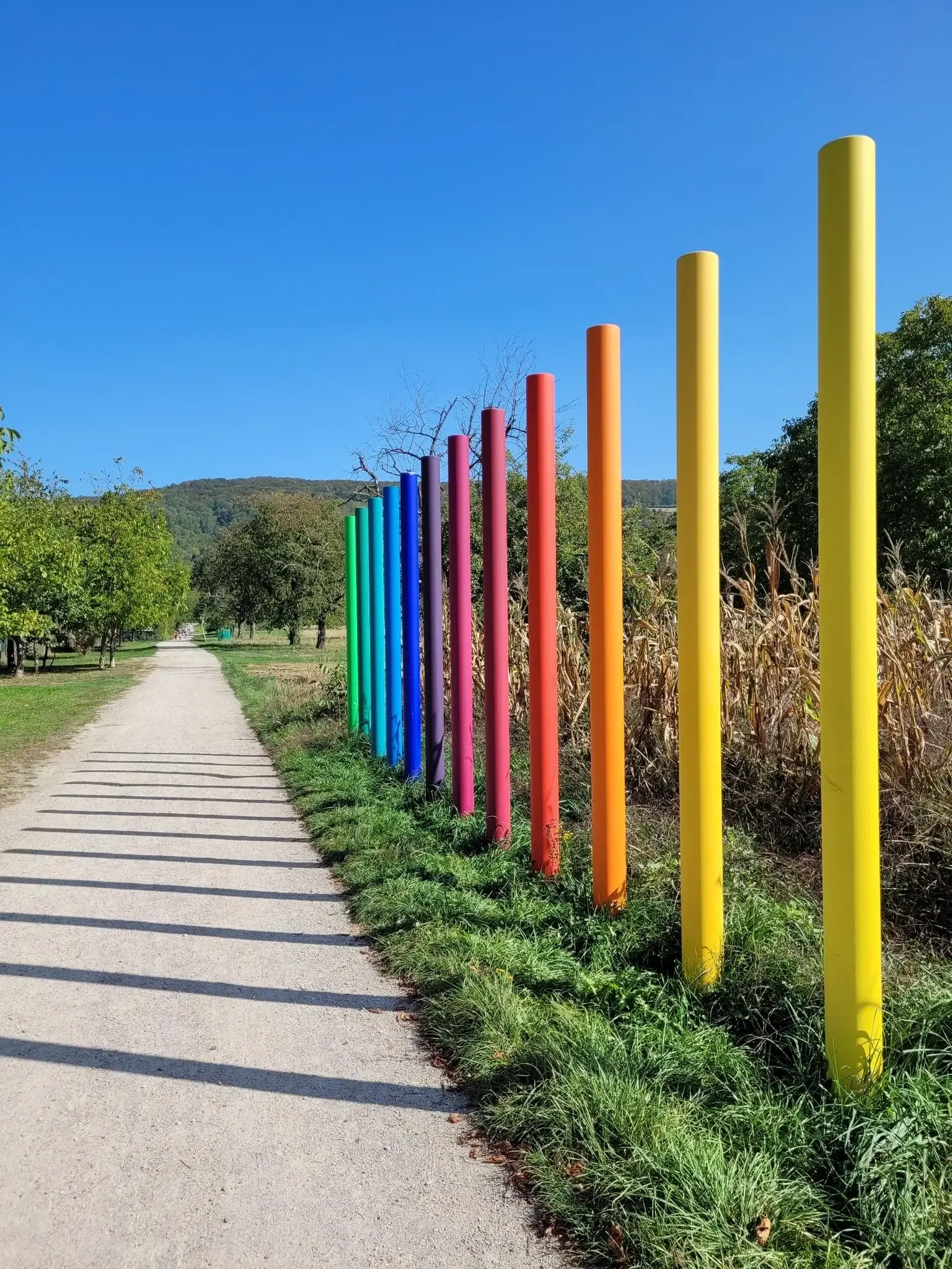
Outdoor Art – art trails in the Black Forest
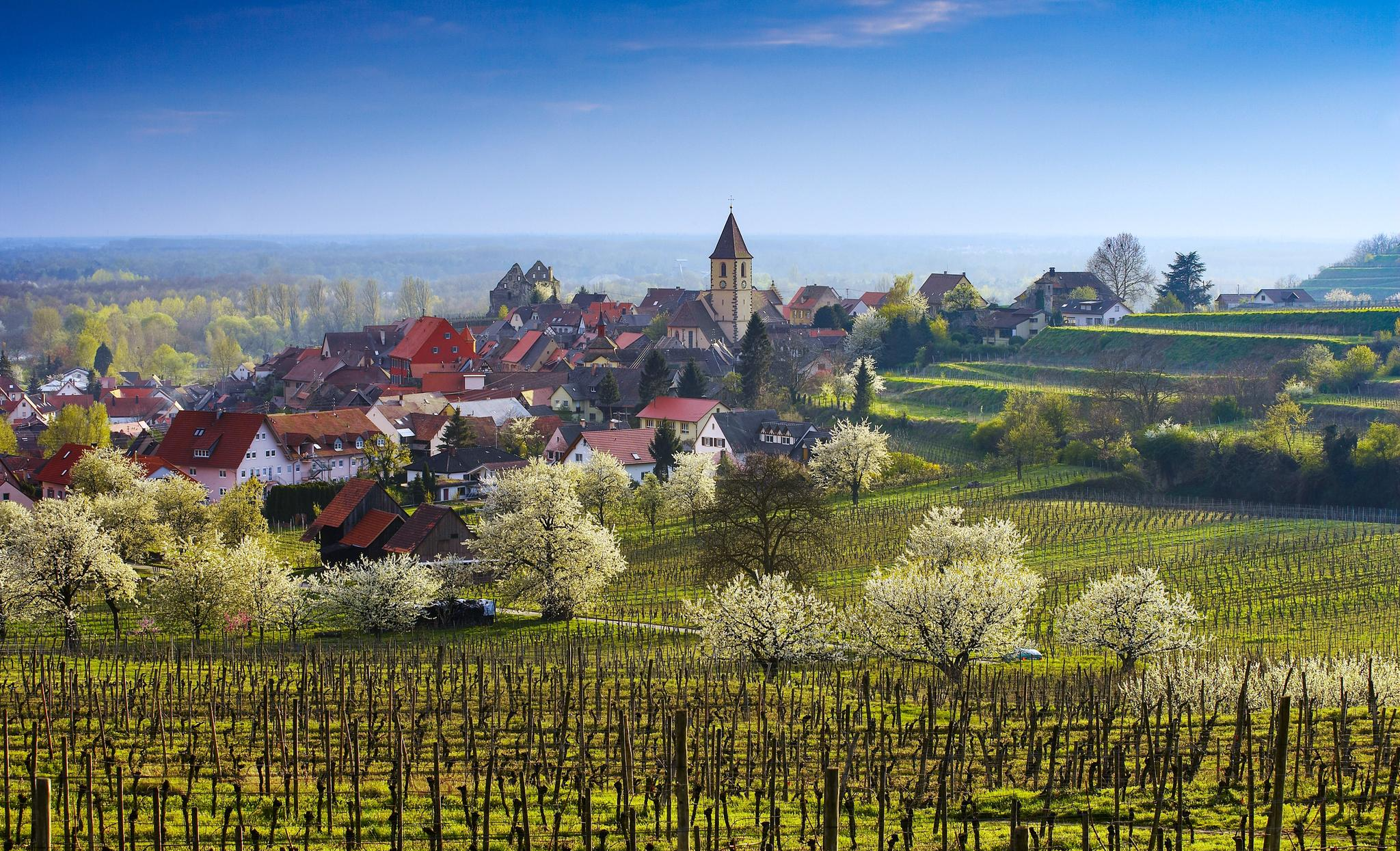
Dreaming in the valley – low-lying spring trails in the Black Forest
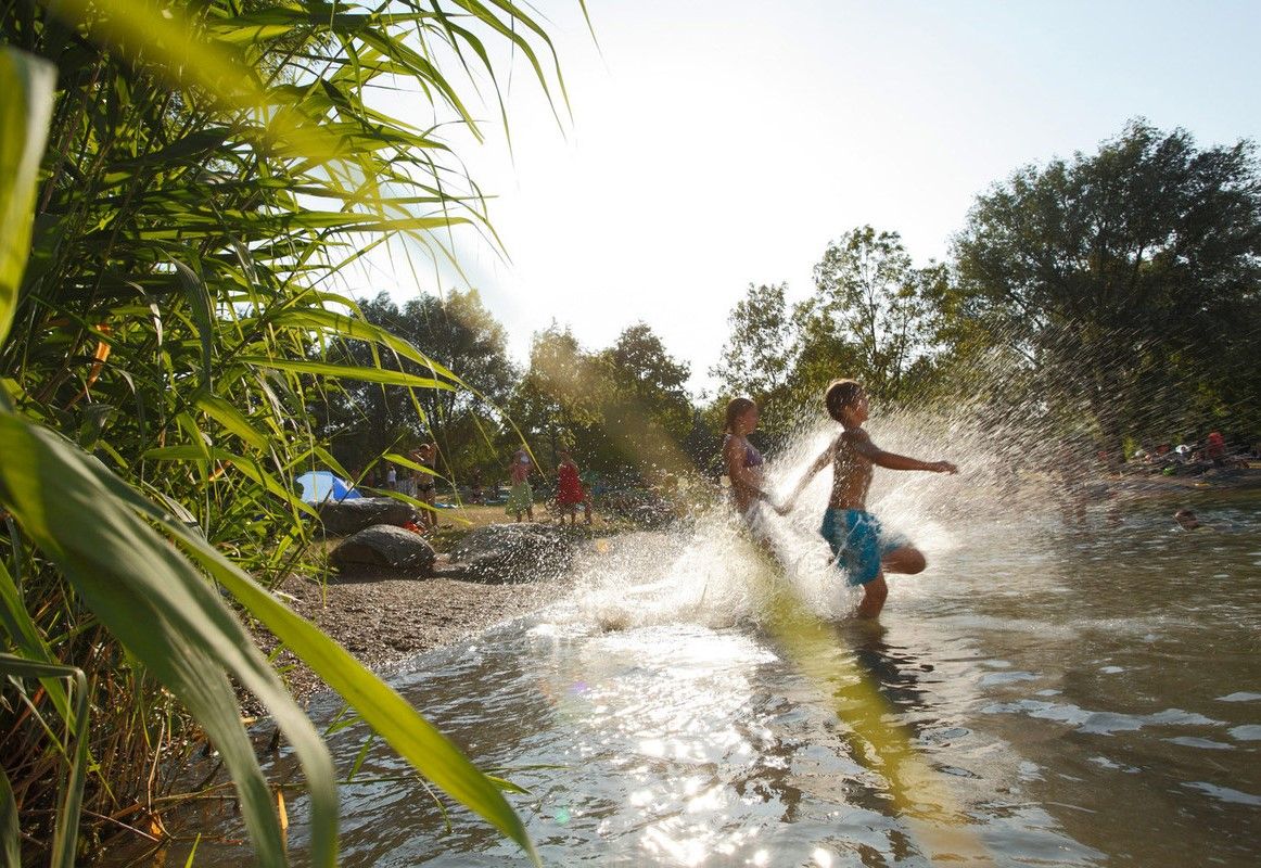
Refreshing summer hikes in Baden Wuerttemberg – bathing fun for the whole family
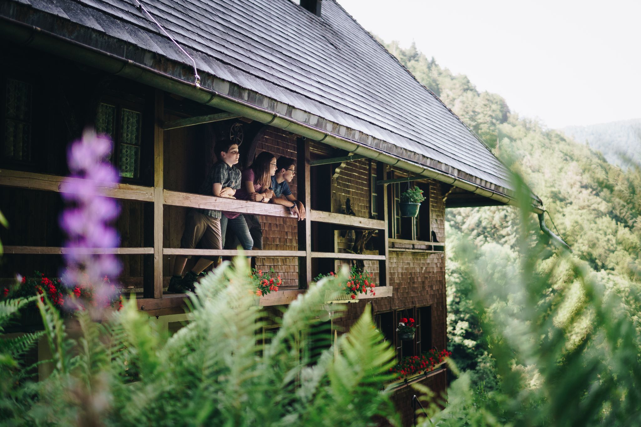
Kids in boots – the most beautiful family Tours in the Black Forest
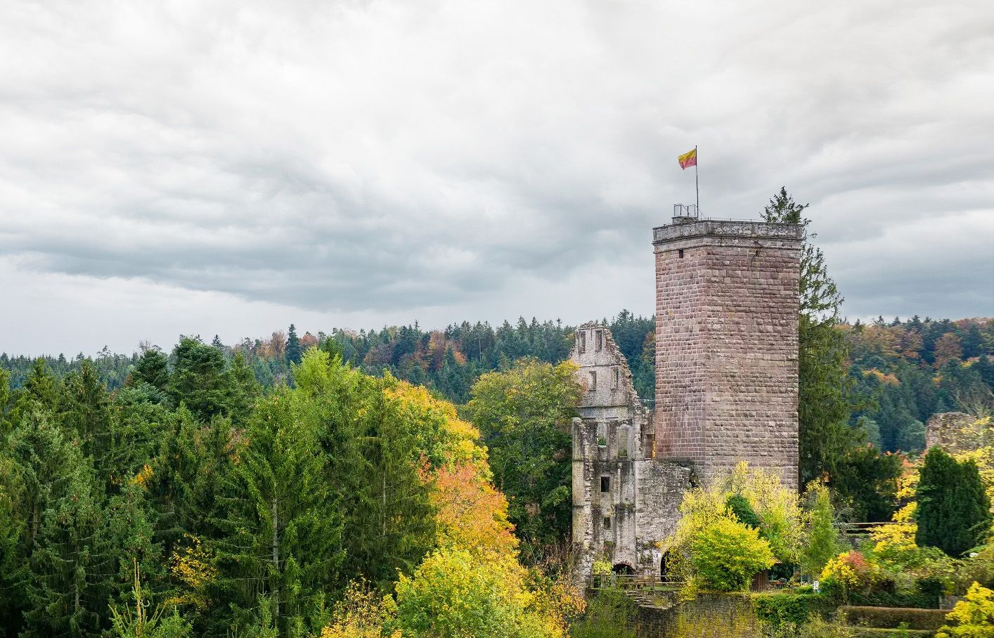
Castles, ghosts and knights – hike in Germany’s Black Forest pleasure trails
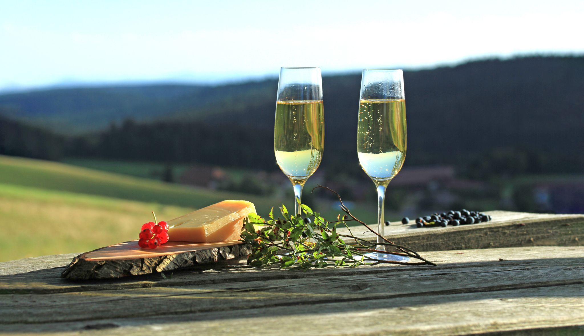
Self-catering bliss on Germany’s Black Forest pleasure trails
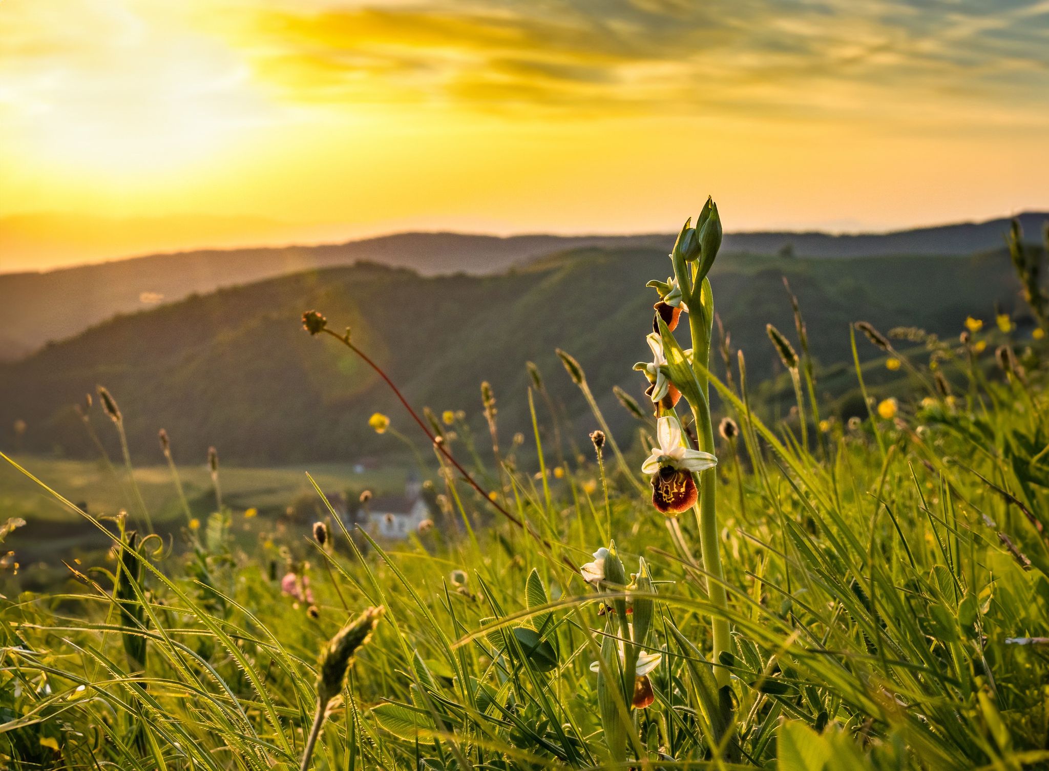
Spring fever on Germany’s Black Forest Pleasure Trails
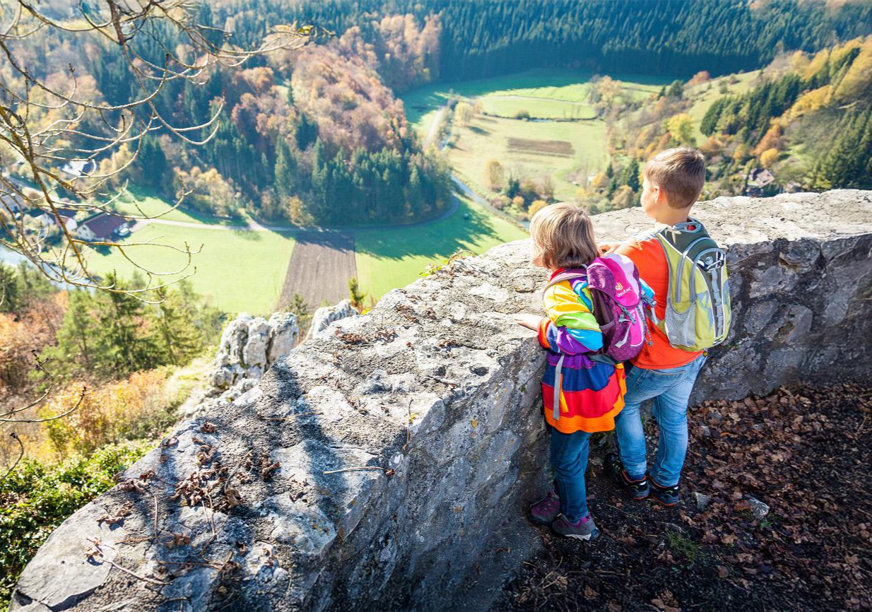
Hiking experiences for the whole family in Baden-Württemberg
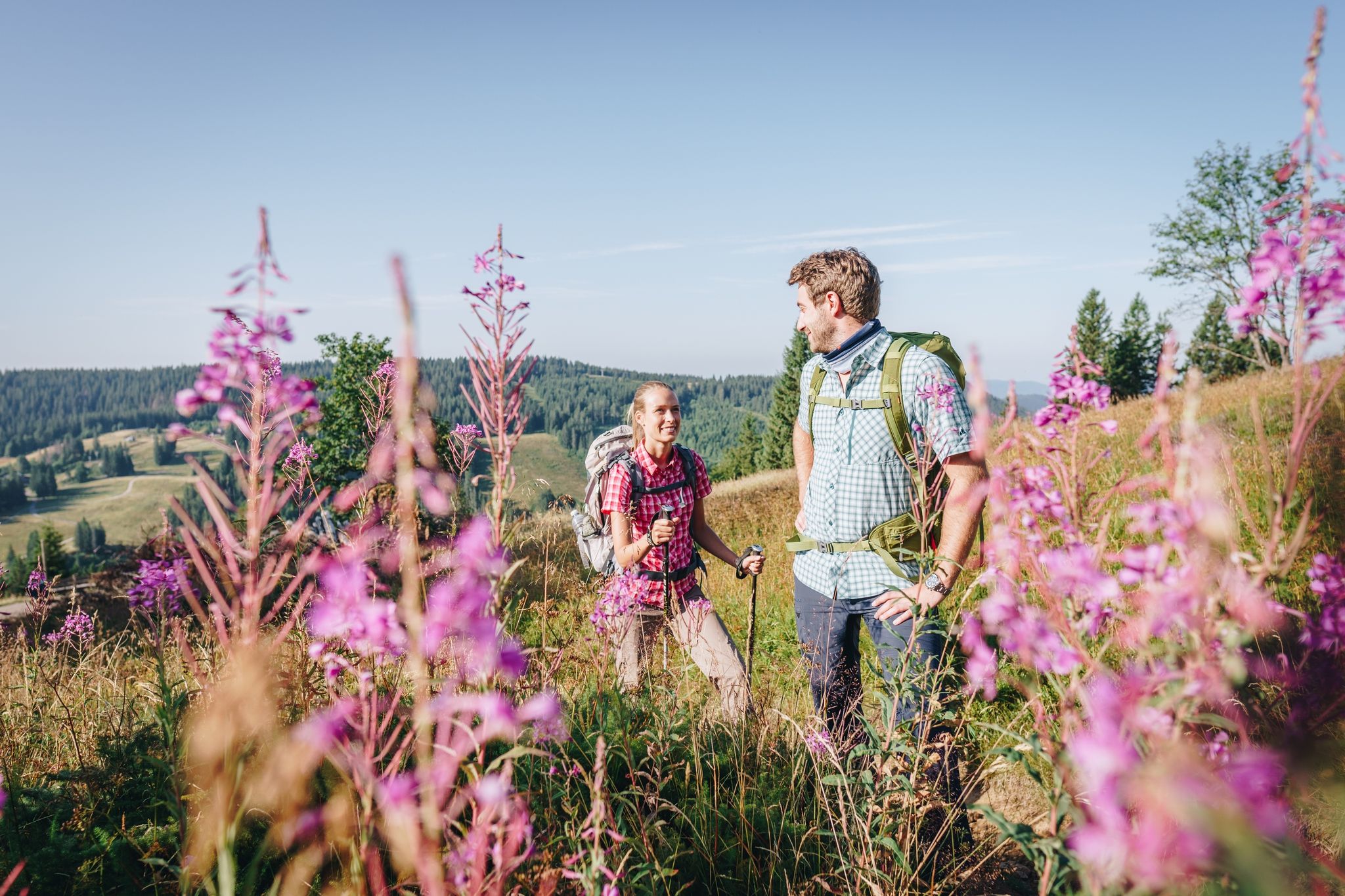
Wonderful hiking – discover the Black Forest’s culture, history, and nature
Other adventures around Schramberg


Tips from the Community

Access to platform 2 and 3 is at ground level via the yellow marked crossing. Approx. 10 minutes before a train arrives or passes, the crossing is closed with a barrier. So you have to be on the platform in good time beforehand.
0
0
Tracks 2 (RS to Hausach) and 3 (RE2 to Karlsruhe) can be reached at ground level via a yellow-marked path that goes over the tracks. Approximately 5-10 minutes before the train arrives, this passage is closed by a barrier. Then there is no longer a connection. So you have to be at the platform in good time.
0
0

Planetenweg Interesting facts about the Planetenweg The Planetenweg aims to bring the hiker and nature lover, young or old, a little closer to some characteristics, astronomical and physical conditions, and especially the colossal size ratios of our solar system and thus also of the universe. The distance of the planets on the hiking trail also corresponds to the real distance from the sun on a scale of 1:1 billion. The model of the sun, a hollow sphere made of 4mm thick sheet steel, weighs approx. 140 kg and therefore has a diameter of 1.3 meters on this scale. At the planet locations, there are display boards with the relevant data of the respective planet (diameter, orbital period around and distance from the sun, etc.) and a brief explanation of the history/origin of the name. Unfortunately, during the planning and construction phase of the Planetenweg, the planet Pluto was "demoted" to a dwarf planet, but it still forms the endpoint of our hike through the solar system. .... Source: https://schwarzwaldverein-lauterbach.de/wege/unsere-wanderwege-in-lauterbach/planetenweg/
0
0

The rock with its brown color stands out from its surroundings. It is very imposing.
1
0

Stands out well from the landscape
5
0

A cozy place that invites you to linger on the bench.
0
0

Nice place to rest at a crossroads, but the view is slowly becoming obscured.
0
0

The Barbara Bridge is a charming, covered wooden bridge that leads over the Triebwerk Canal to the historic Ramstein Mill.
10
1
Frequently Asked Questions
What kind of terrain can I expect on mountaineering routes around Schramberg?
Schramberg, nestled in the central Black Forest, offers diverse terrain characterized by forested mountains, numerous hills, and river valleys. You'll encounter rocky paths and crags due to the gneiss and granite geological makeup, particularly in areas like the "Sea of Rocks" (Felsenmeer). Routes often feature significant elevation changes, ranging from 400 to 790 meters above sea level, providing varied ascents and descents.
Are there any easy mountaineering routes suitable for beginners in Schramberg?
Yes, there are routes suitable for those new to mountaineering. For an easier experience, consider the Ramstein Chapel loop from Tennenbronn. This route is rated as easy and covers about 6.4 km, making it a good option to get acquainted with the region's landscape.
What historical landmarks or viewpoints can I see along the mountaineering routes?
The region is rich in historical landmarks and offers spectacular viewpoints. Many routes lead past historic castle ruins, such as those on the demanding "Schramberg Castle Trail" which includes Falkenstein, Hohenschramberg, Schilteck, and Altfalkenstein. The Hohenschramberg castle ruins, perched on the Schlossberg hill, are a prominent landmark. For panoramic views, consider routes that pass by the Huberfelsen Viewpoint or lead to the Roßkopf summit.
Are there any circular mountaineering routes in the Schramberg area?
Yes, many of the mountaineering routes around Schramberg are circular, allowing you to start and end at the same point. For example, the Kapfhäusle Thatched House – Boardwalk at the Rotwasserbach loop from Fohrenbühl is a popular moderate circular route. Another option is the Burg Irslingen Ruins – Schlichem Gorge loop from Epfendorf, which also offers a circular experience.
Can I find routes that feature waterfalls or scenic river valleys?
Absolutely. The Schramberg area, known as the "Town of Five Valleys," is characterized by its rivers and valleys. Scenic paths along rivers like the Schiltach offer breathtaking views. The Lauterbacher waterfalls are a natural highlight that can be encountered along various hiking routes, providing a refreshing natural feature to your mountaineering experience.
What are the options for more challenging mountaineering routes?
While the guide focuses on moderate routes, the region offers challenging elements. Routes like the "Schramberg Castle Trail" involve significant elevation changes (around 550m up and down) and require good fitness and sure-footedness. The presence of "rocky paths high above the Berneck valley" and the "sea of rocks" indicates terrain that can be quite demanding and offers an alpine experience.
Are there specific climbing crags or areas for technical climbing near Schramberg?
Yes, for those seeking more technical vertical pursuits, Schramberg and its surroundings offer specific climbing crags. Notable areas include Rabenfels, Kreuzfels (north of Lauterbach), and Falkenstein and Muehlfels (south of Schramberg on the L175). These spots feature modern sport climbs on granite rock, with various formations like cracks, dihedrals, and slabs.
What do other mountaineers say about the routes in Schramberg?
The mountaineering routes in Schramberg are highly rated by the komoot community, with an average score of 4.0 stars. Reviewers often praise the varied terrain, the scenic beauty of the Black Forest landscape, and the combination of challenging paths with historical attractions like castle ruins.
Are there any routes that pass by mountain passes or peaks with observation towers?
Yes, some routes will bring you close to significant passes and peaks. For instance, you might encounter the Fohrenbühl Pass or the Büchereck Pass. The Fohrenbühl Memorial House and Observation Tower is also a notable highlight, offering elevated views of the surrounding landscape.
Are there any family-friendly mountaineering options in Schramberg?
While many mountaineering routes can be demanding, some are more accessible for families. The Ramstein Chapel loop from Tennenbronn is an easy route that could be suitable for families looking for a less strenuous outing. Additionally, the region's high ropes course in Schramberg-Sulgen offers a different kind of vertical challenge that families might enjoy.
Are the mountaineering routes around Schramberg accessible by public transport?
Schramberg is located in the Black Forest, and while some starting points for routes might be accessible by local bus services, direct public transport access to all trailheads can be limited. It's advisable to check local bus schedules and connections to specific starting points before planning your trip. Parking is generally available near popular trailheads for those traveling by car.
What is the longest mountaineering route available in this guide?
Among the routes listed, the Hornberg Castle and its Tower – Karlstein loop from Hornberg is the longest, covering approximately 14.4 km. This moderate route also features the highest elevation gain, making it a substantial day out.
Most popular routes around Schramberg
Most popular attractions around Schramberg

Get inspired with the komoot mobile app


Explore more
Browse the best Mountain Hikes & Routes in other regions.
