The best gravel rides in Irvine Regional Park
37
riders
6
rides
Gravel biking in Irvine Regional Park offers diverse terrain across 477 acres, characterized by heritage Oak and Sycamore groves and rolling foothills. Santiago Creek bisects the park, contributing to a varied landscape that includes both paved and unpaved pathways. The park's extensive network features dirt and gravel roads, making it suitable for gravel biking. These routes often include significant elevation changes, with some climbs exceeding 1,000 meters.
Best gravel bike trails in Irvine Regional Park
- The most popular gravel bike…
Last updated: September 1, 2026
13
riders
51.5km
04:09
1,030m
1,030m
Hard gravel ride. Very good fitness required. Mostly paved surfaces. Suitable for all skill levels.
5
riders
55.7km
04:29
1,060m
1,060m
Hard gravel ride. Very good fitness required. Mostly paved surfaces. Suitable for all skill levels.

Sign up for free
6
riders
47.0km
04:00
1,190m
1,190m
Hard gravel ride. Very good fitness required. Mostly paved surfaces. Suitable for all skill levels.
7
riders
Moderate gravel ride. Good fitness required. Mostly paved surfaces. Suitable for all skill levels.
1
riders
Moderate gravel ride. Good fitness required. Mostly paved surfaces. Suitable for all skill levels.
Our route recommendations are based on thousands of hikes, rides, and runs completed by other people on komoot.
Start today with a free account
Your next adventure awaits.
Login or Signup
Tips from the Community

Lots of walkers/hikers/dogs in Peters Canyon, so be prepared for a slow cruise enjoying the scenery. There are some very steep hills if you want them but they can be avoided if you'd like.
0
0

This view of Sierra Peak showcases one of the highest and most easily identifiable peaks in northern Orange County. It stands at 3,045 feet above sea level.
1
0

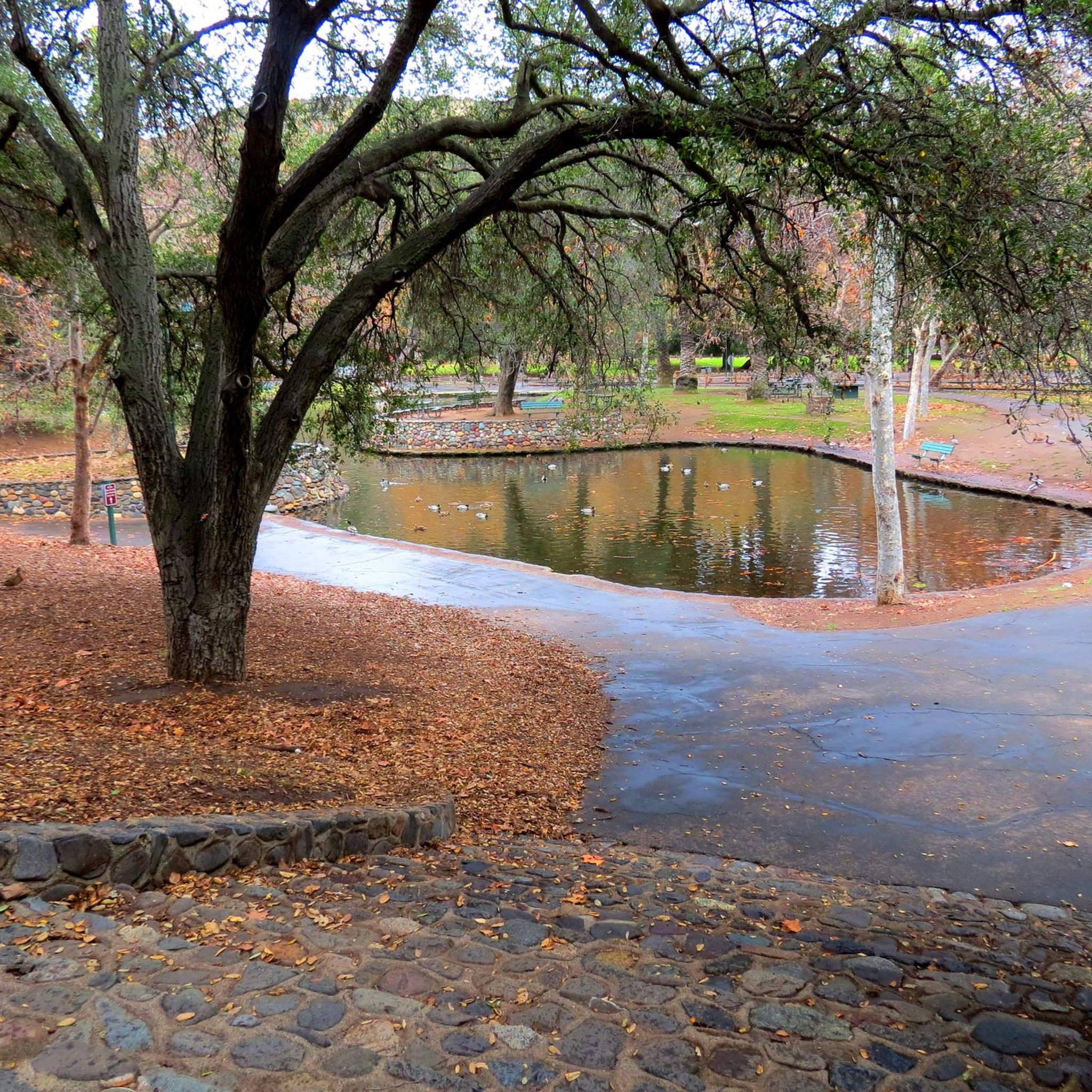
Irvine Park is a popular park outside Orange, CA. It is a family friendly park, with a lot of activities for kids, as well as restrooms and parking.
0
0

Situated up with the cell towers at 3,045 feet, Sierra Peak offers awesome views of Orange County and the surrounding mountains. Because it's such a long trek from car to summit, you'll likely have most of the route and the peak to yourself.
0
0

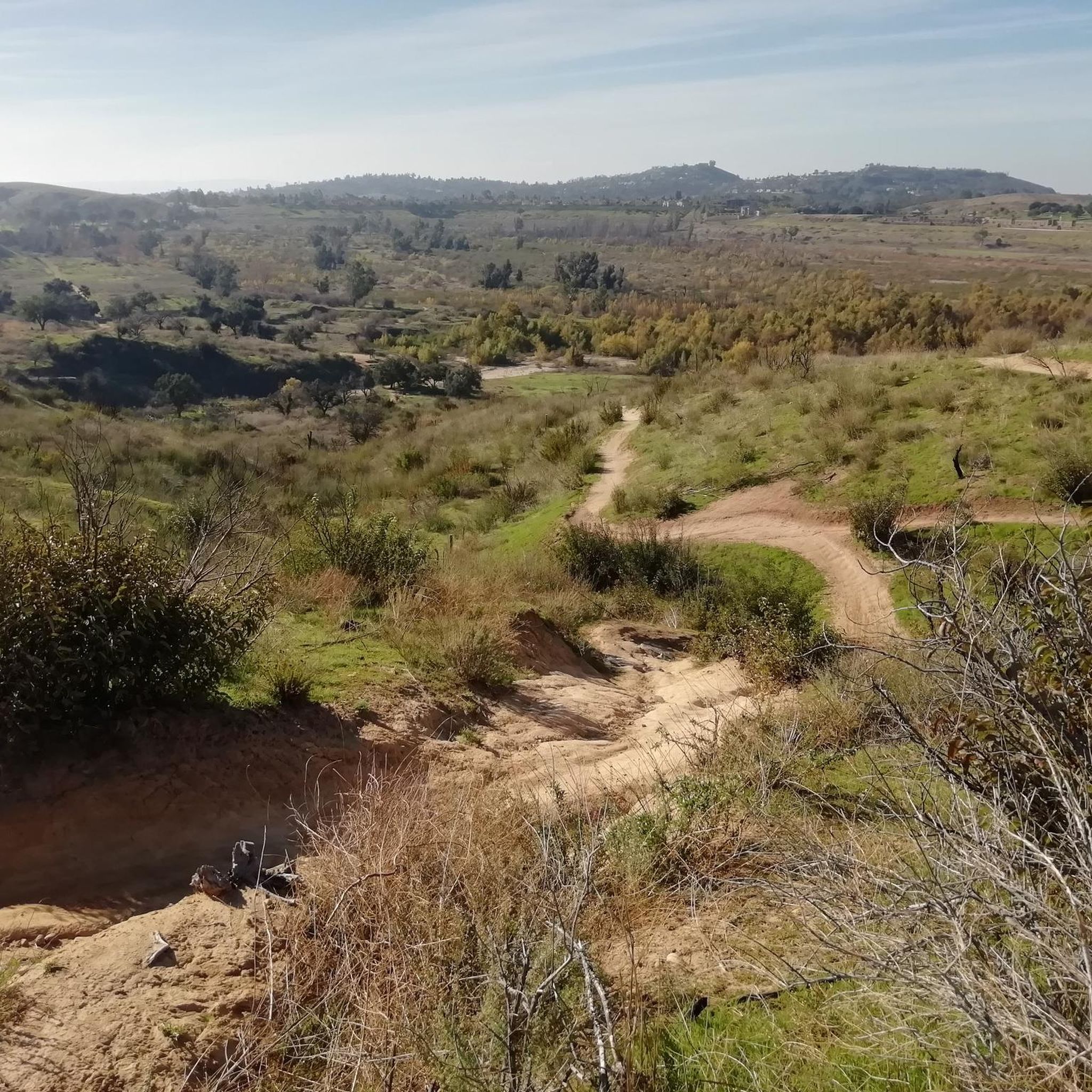
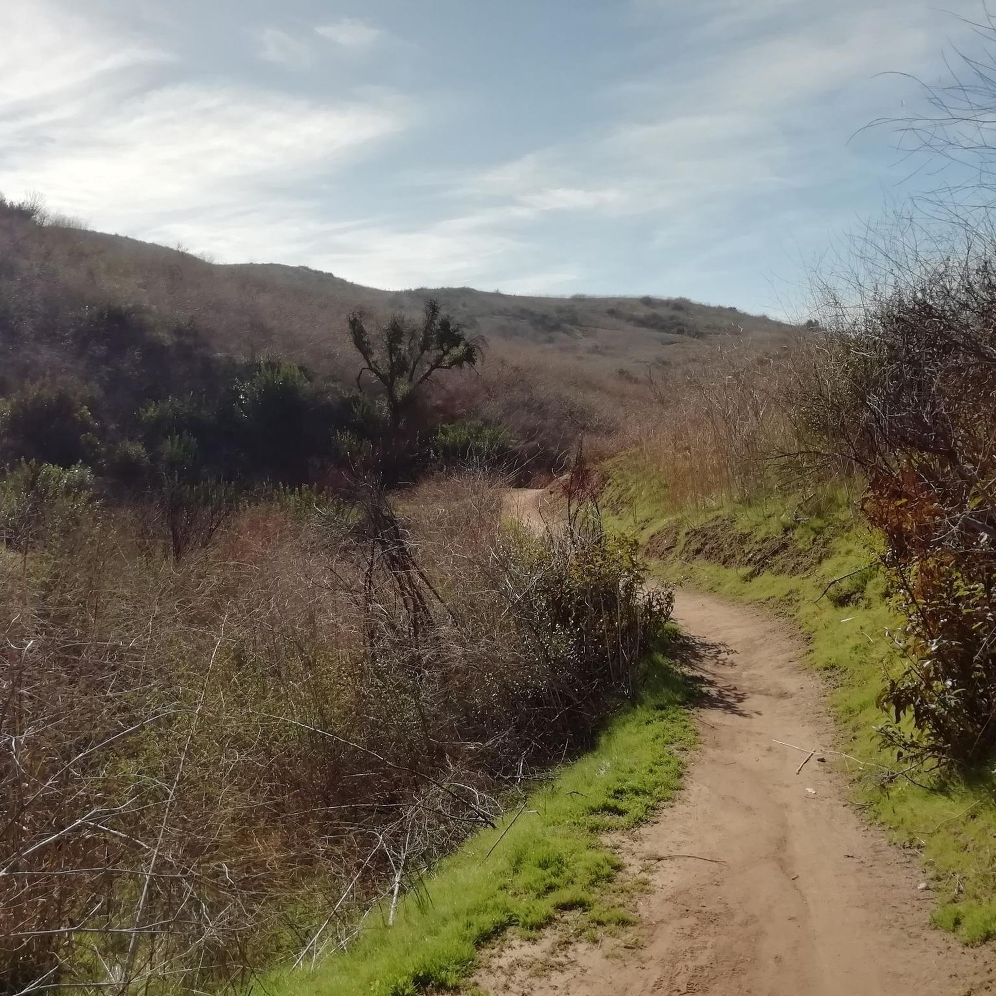
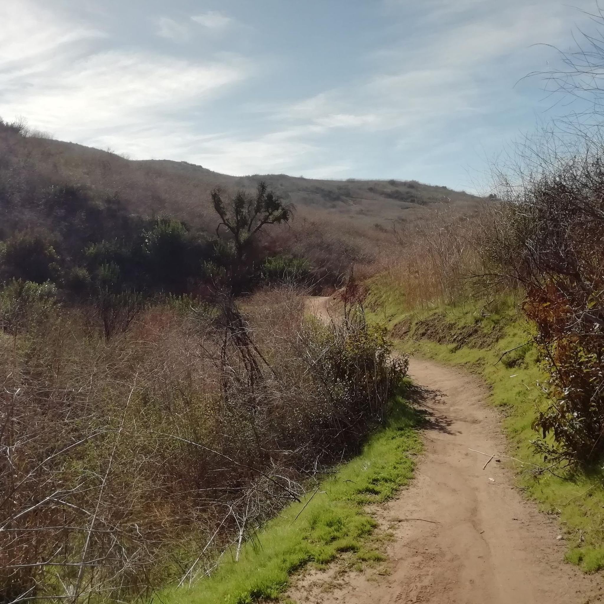
The trail is a wide dirt road through what feels like remote terrain, despite being quite close to Orange County. There is some loose rock that could make the descent mildly technical, but otherwise, this is a fairly steady route to Mini Moab and Sierra.
0
0
This area is designated as a wildlife sanctuary for rare and endangered wildlife. It has about 4,500 acres of wild space and open land.
0
0
There is a small shaded gazebo atop the lookout, which grants expansive views north and west across the rolling foothills of Orange County. This is a great sunset spot.
0
0
There is lots of parking here, and as you head away from the highway you have access to the paved two-lane Santa Ana River trail which stretches (nearly) all the way from San Bernardino to the Pacific Ocean. If you head west along the river trail you will come to Coal Canyon and can access the trails south of the highway.
1
0
Frequently Asked Questions
What kind of terrain can I expect on gravel bike trails in Irvine Regional Park?
Irvine Regional Park offers a diverse landscape for gravel biking, featuring a mix of paved and unpaved pathways. You'll encounter dirt and gravel roads, rolling foothills, and serene groves of heritage Oak and Sycamore trees. Santiago Creek also bisects the park, adding to the varied scenery. Some routes, particularly those extending into areas like Peters Canyon, can include significant elevation changes and steep climbs.
Are there any challenging gravel bike routes in Irvine Regional Park?
Yes, Irvine Regional Park has several challenging gravel bike routes with substantial elevation gain. For instance, the View of Sierra Peak – Barham Ridge Trail viewpoint loop from Santiago Canyon College is a difficult 43.2-mile path that offers expansive views from Sierra Peak and the Barham Ridge Trail, featuring over 1,300 meters of ascent.
Are there any family-friendly attractions or activities near the gravel bike trails?
Irvine Regional Park is very family-friendly. Beyond the trails, you can find the OC Zoo, the Irvine Park Railroad, pony rides, and multiple playgrounds. There's also a lake where you can rent paddle boats and go fishing. Numerous picnic areas with tables and barbecues are available throughout the park, often shaded by trees.
What are some scenic viewpoints or landmarks I can see while gravel biking in the park?
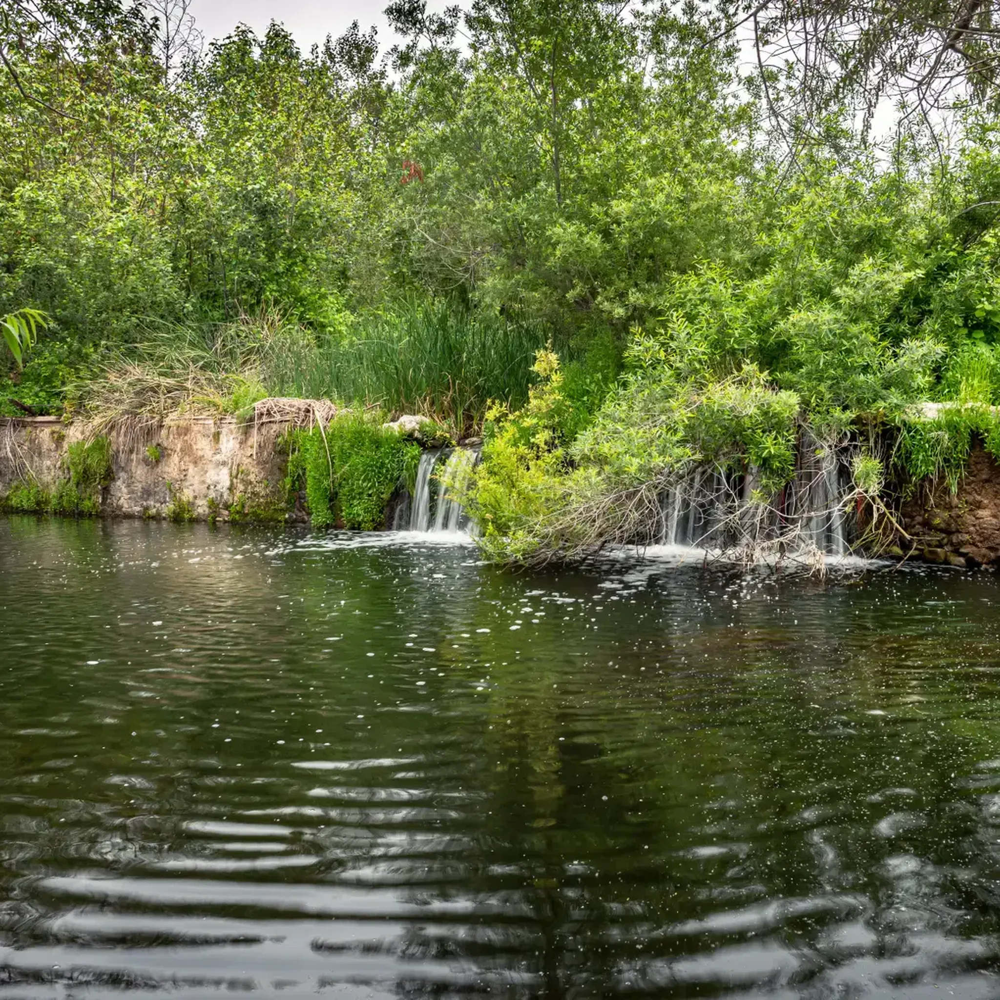
The park offers several scenic spots. You can enjoy views from rolling foothills, pass through groves of ancient Oak and Sycamore trees, and ride alongside Santiago Creek. A picturesque pond with a stonework waterfall and footbridge also adds to the tranquil scenery. Routes like the Sierra Peak Summit – View of Sierra Peak loop from A provide excellent vistas.
How many gravel bike trails are available in Irvine Regional Park?
There are 6 gravel bike trails documented in Irvine Regional Park, ranging from moderate to difficult in ability level. These routes are highly rated by the komoot community, with an average score of 5.0 stars.
What do other gravel bikers enjoy most about Irvine Regional Park?
The komoot community highly rates the gravel biking experience in Irvine Regional Park, with an average score of 5.0 stars from reviewers. Users often praise the park's varied terrain, which includes both dirt and gravel pathways, and the significant elevation changes that offer a good challenge. The natural beauty of the oak groves and rolling foothills is also a frequently mentioned highlight.
Are there any circular gravel bike routes in the park?
Yes, many of the gravel bike routes in Irvine Regional Park are designed as loops. For example, the Black Star Falls – Native American Village loop from Santiago Canyon College is a challenging 33.2-mile loop that takes you to scenic points like Black Star Falls.
What is the best time of year to go gravel biking in Irvine Regional Park?
While specific seasonal recommendations aren't provided, the park's diverse landscape and extensive trail network make it suitable for outdoor activities year-round. However, given the potential for steep climbs and exposed areas, cooler months might be more comfortable for longer rides, while spring offers lush greenery. Always check local weather conditions before heading out.
Is there public transport access to Irvine Regional Park for gravel bikers?
The primary access to Irvine Regional Park is typically by car, with ample parking available. While local bus services might operate in the surrounding areas, direct public transport links specifically catering to park access for cyclists with bikes are not prominently highlighted. It's advisable to check Orange County Transportation Authority (OCTA) routes for the most current information on bus stops near the park entrances.
Are there any beginner-friendly gravel bike trails in Irvine Regional Park?
While many routes in Irvine Regional Park are rated difficult, there are options that are less technical. The Santiago Creek Trail – Roadrunner Loop trailhead loop from Orange Park Acres is a moderate 13.5-mile trail that leads through areas alongside Santiago Creek, offering a less strenuous experience compared to the more challenging mountain routes.
What should I bring for gravel biking in Irvine Regional Park?
Given the varied terrain and potential for significant climbs, it's recommended to bring plenty of water, especially on longer routes. Sun protection, snacks, a repair kit, and a fully charged phone are also essential. For routes with unpaved sections, wider profile tires are often recommended for better traction and comfort.
Are dogs allowed on the gravel bike trails in Irvine Regional Park?
Irvine Regional Park generally has specific rules regarding pets. While dogs are often allowed in certain areas of the park on a leash, their presence on specific trails, especially shared-use trails, can vary. It's best to check the official Irvine Regional Park website or signage at trailheads for the most up-to-date pet policies before bringing your dog on a ride.
Where can I find coffee shops or restaurants near Irvine Regional Park?
Irvine Regional Park is located within a developed area, so you'll find various coffee shops and restaurants in the surrounding communities. Santiago Canyon College, which serves as a starting point for several routes, is nearby, and the Orange Park Acres area also offers amenities. You can easily find options for refreshments and meals a short distance from the park's entrances.
Most popular routes in Irvine Regional Park

Get inspired with the komoot mobile app


Explore more
Browse the best Gravel rides in other regions.
