The best running trails around Troporiz
5.0
(3)
25
runners
4
runs
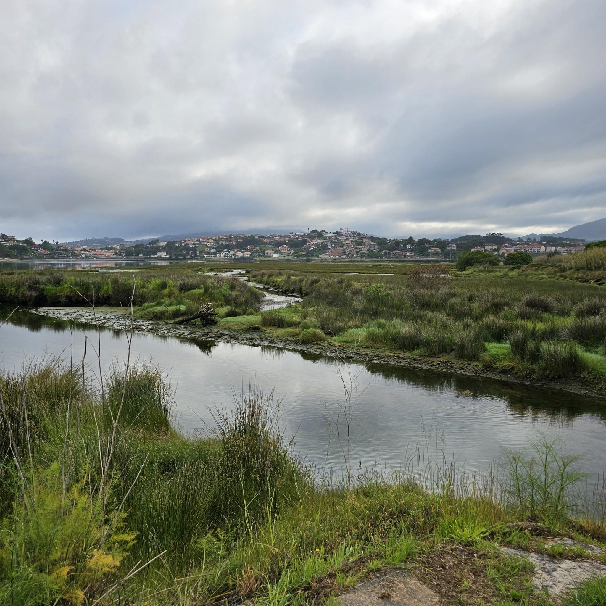
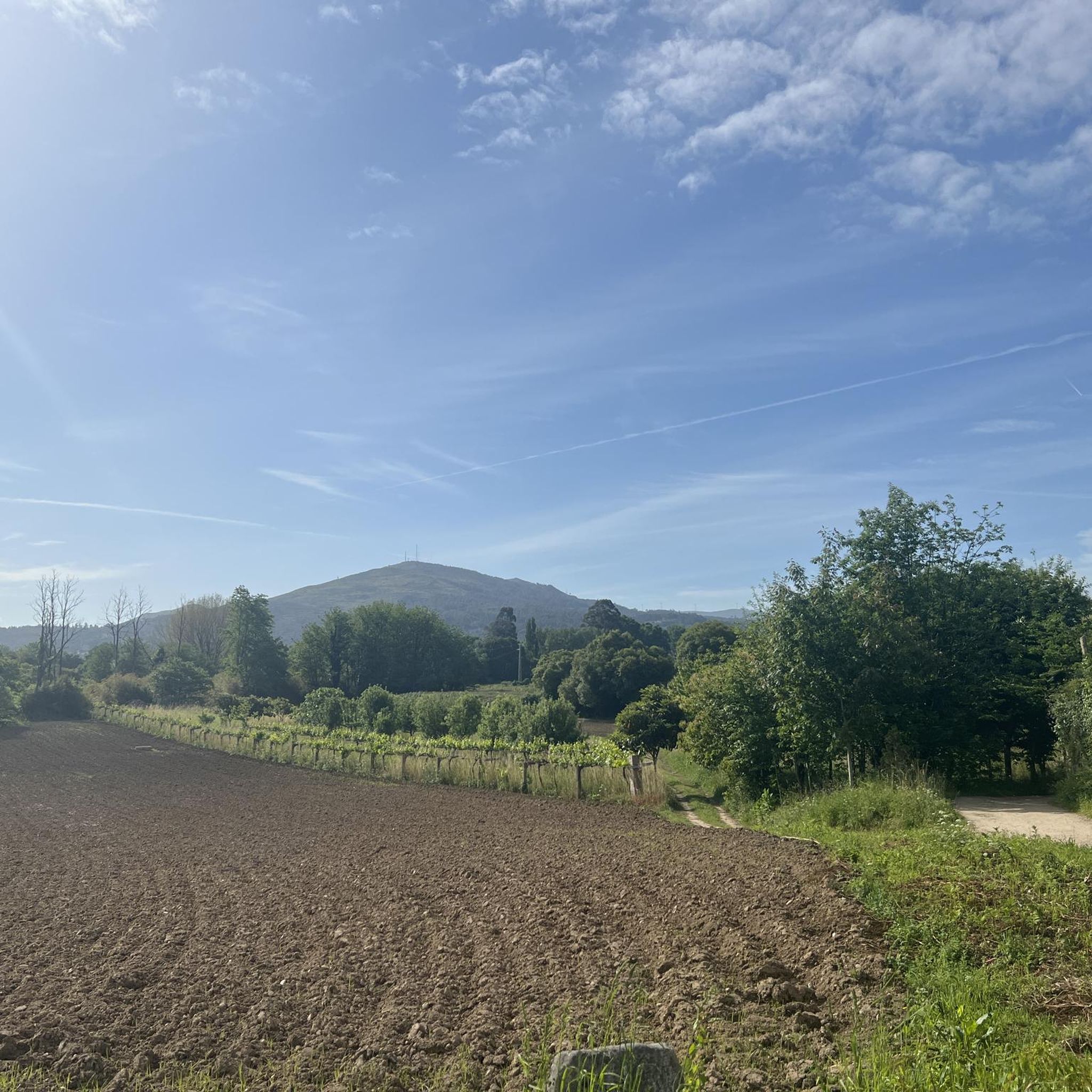
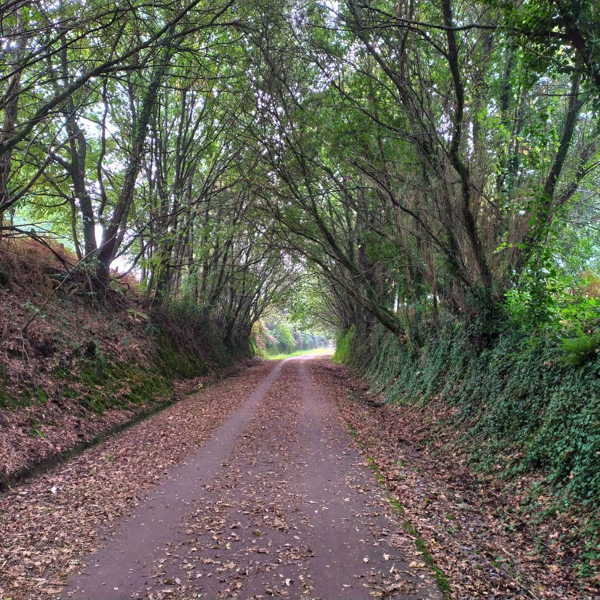
Jogging around Troporiz offers a diverse experience through its natural landscapes and dedicated paths. The region features serene riverside paths, such as those indicated by a "Paseo Fluvial," providing flat terrain ideal for running. Natural parks like Parque Natura Monte Aloia offer varied terrain, while ecovias and boardwalk systems, such as Ecovia do Vez - Passadiço do Sistelo, provide structured routes amidst nature. The wider area also includes features like the Serra Amarela, contributing to a rich and varied environment…
Last updated: May 20, 2026
5.0
(3)
12
runners
5.12km
00:35
20m
20m
Moderate run. Good fitness required. Mostly paved surfaces. Suitable for all skill levels.
6
runners
11.4km
01:12
60m
60m
Moderate run. Good fitness required. Mostly paved surfaces. Suitable for all skill levels.

Sign up for free
3
runners
7.79km
00:50
130m
130m
Moderate run. Good fitness required. Mostly paved surfaces. Suitable for all skill levels.
2
runners
17.8km
02:03
230m
230m
Hard run. Very good fitness required. Mostly paved surfaces. Suitable for all skill levels.
2
runners
10.5km
01:15
210m
210m
Moderate run. Good fitness required. Mostly paved surfaces. Suitable for all skill levels.
Our route recommendations are based on thousands of hikes, rides, and runs completed by other people on komoot.
Start today with a free account
Your next adventure awaits.
Login or Signup
Tips from the Community

Pilgrims walking the Portuguese Way to Santiago de Compostela pass this bridge, making it a place of great historical significance. If you ever visit Tui, don't miss the opportunity to cross this beautiful bridge and immerse yourself in its history and charm. 🌉🚶♂️
2
0
The Ponte de A Veiga in Tui, Galicia, is an ancient medieval bridge also known as the "Roman Bridge." Its original construction is attributed to the Romans, and it stands over the Louro River, near where it flows into the Miño. The Ponte de A Veiga was built of granite and consists of four arches. It was part of the ancient Roman Via XIX, which connected Bracara (present-day Braga, Portugal) with Santiago de Compostela. Pilgrims walking the Portuguese Way to Santiago de Compostela pass over this bridge, making it a place of great historical significance. If you ever visit Tui, don't miss the opportunity to cross this beautiful bridge and immerse yourself in its history and charm. 🌉🚶♂️
8
0

If the distance to travel is short, then travel light to avoid setbacks. Don't forget to drink enough water. Remember that just because you don't get thirsty, you shouldn't hydrate yourself. On the contrary, you should always do it. Your body will thank you. Shoes like these are a good option ( hiking boots 🥾 for routes with long walks on asphalt they are not the best) wear comfortable shoes that are not tight and waterproof, dry feet are the best measure but if the weather is dry it will also be a great help.
2
0

statue of the pilgrim and medieval bridge over the River Louro
4
0
Medieval bridge over the Louro river, a truly charming setting and a passage on the Camino de Santiago
5
1

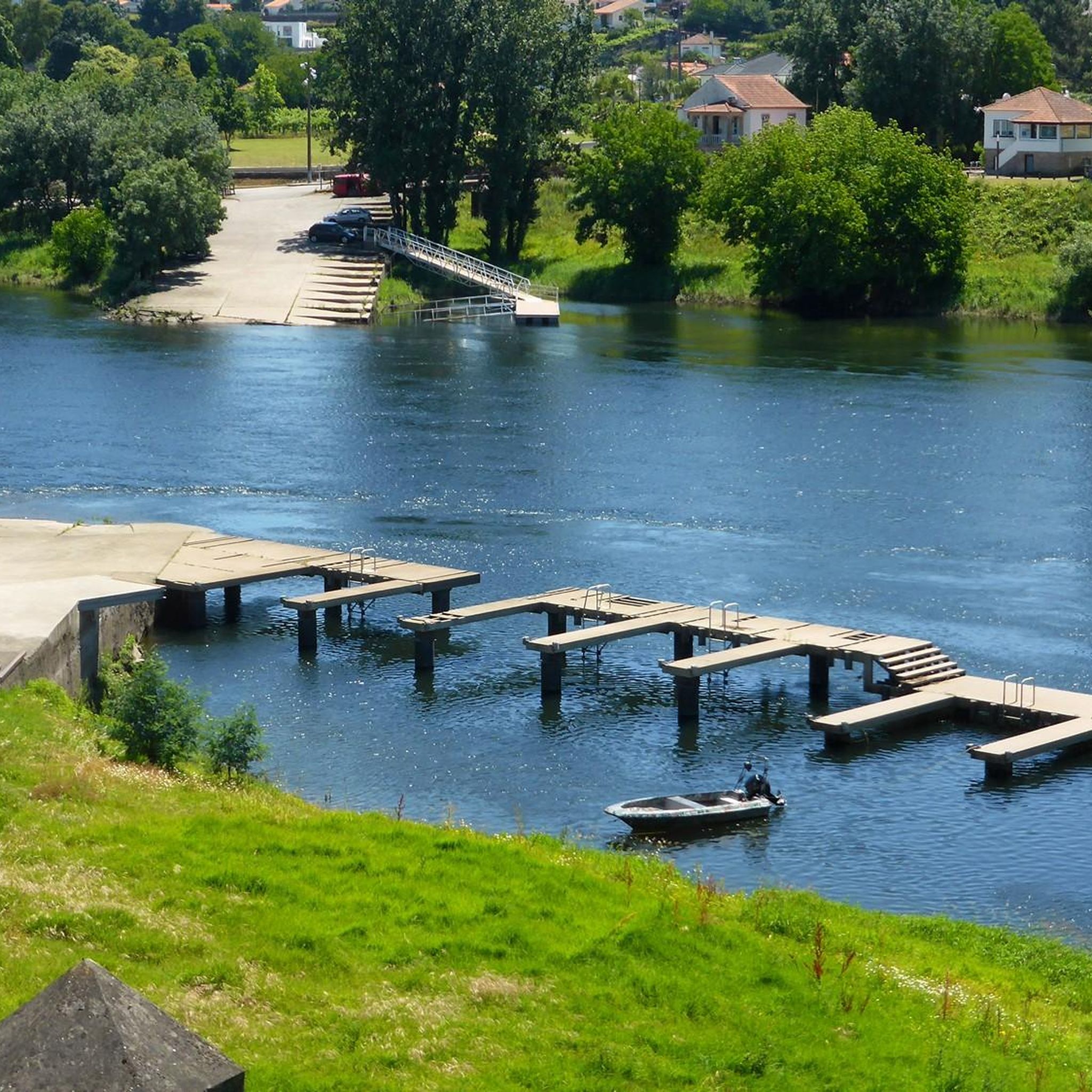
The stone bridge that crosses the Louro River suggests that its origin dates back to Roman times. On one side of the bridge you will find a river beach to cool off on a hot day and rest under the shade of the trees
4
0


Amazing building from Roman times. History to touch.
4
1
Frequently Asked Questions
How many running routes are available in Troporiz?
Troporiz offers several dedicated running routes, with a total of 4 trails currently listed on komoot. These routes provide diverse experiences through the region's natural landscapes.
What kind of terrain can I expect on jogging trails in Troporiz?
You can expect a variety of terrain. Many routes feature serene riverside paths, such as those along a "Paseo Fluvial," which are often flat and ideal for running. Natural parks like Parque Natura Monte Aloia offer more varied terrain, while dedicated ecovias and boardwalk systems, such as Ecovia do Vez - Passadiço do Sistelo, provide structured paths amidst nature.
Are there running routes suitable for beginners in Troporiz?
While there are no routes specifically graded as 'easy' on komoot, several moderate options are suitable for beginners looking for a gentle challenge. For instance, the Running loop from Estrada is a moderate 5.1 km trail that takes about 34 minutes to complete, offering accessible running through local surroundings.
Are there longer running routes for more experienced joggers?
Yes, for those seeking a longer challenge, the Lovers' Viewpoint loop from Salvaterra de Miño is a difficult 17.8 km trail that leads through varied terrain and typically takes over 2 hours to complete. Another good option is the moderate Running loop from Verdoejo, which is 11.4 km long.
Can I find circular running routes in Troporiz?
Yes, all the running routes listed on komoot for Troporiz are circular loops, allowing you to start and finish at the same point. This includes popular options like the Running loop from Salceda de Caselas, a moderate 7.8 km route.
Are there any scenic running paths along the water?
Absolutely. The region is known for its serene riverside paths, often referred to as "Paseo Fluvial," which are perfect for waterside views while jogging. Additionally, the Ecopista of the Minho River offers a dedicated path along the river, providing a beautiful setting for a run. You can explore sections of it, such as the Ecopista of the Minho River: Monção to Valença.
What are some points of interest or landmarks I can see while jogging in Troporiz?
Many routes offer glimpses of historical and natural landmarks. You might encounter picturesque bridges like Ponte da Veiga, the Pilgrims' Bridge, or Ponte de Fillaboa. The region also features natural parks and areas with commanding views, such as those found in Serra Amarela.
Are the jogging routes in Troporiz suitable for families?
Yes, many of the routes, especially those along riverside paths or within local parks like Parque da Canuda and Parque das Caldas, are suitable for families. These often provide flatter, well-maintained surfaces. The dedicated ecovias, such as Ecovia do Vez - Passadiço do Sistelo, also offer safe and scenic environments for family runs.
What do other runners enjoy the most about jogging in Troporiz?
The running trails in Troporiz are highly rated by the komoot community, with an average score of 5.0 stars. Runners often praise the diverse natural landscapes, from serene riverside paths to varied terrain in natural parks, and the well-structured ecovias that make for an enjoyable experience.
Are there any running routes that offer significant elevation changes?
Yes, if you're looking for more challenging climbs, routes like the Lovers' Viewpoint loop from Salvaterra de Miño feature over 230 meters of elevation gain. Another option with notable elevation is the Xacemento Portomaior loop from As Neves, which includes over 214 meters of ascent.
Can I find running routes with good parking access in Troporiz?
While specific parking details for each route are not always listed, many routes start from accessible points in or near towns, making parking generally convenient. For routes that venture into natural parks or ecovias, designated parking areas are often available at trailheads.
Is Troporiz a good place for wildlife spotting while running?
The natural parks and riverside areas around Troporiz, such as Parque Natura Monte Aloia and the Paseo Fluvial, offer opportunities for wildlife spotting. While running, you might encounter various bird species and local flora, especially in the quieter, more natural sections of the trails.
Most popular routes around Troporiz
Most popular attractions around Troporiz

Get inspired with the komoot mobile app


Explore more
Browse the best Running Trails & Routes in other regions.
