The best mountain hikes around gmina Maków Podhalański
5.0
(85)
499
hikers
1
hike
Mountaineering routes around gmina Maków Podhalański are set within the Beskid Makowski mountain range, part of the Western Beskids. The region features a diverse landscape of scenic valleys, forested mountain peaks, and the Skawa River. Terrain elevation varies, offering a range of experiences from river-level paths to higher mountain ascents.
Best mountaineering routes around gmina Maków Podhalański
- The most popular mountaineering route is Sokolica Viewpoint – Babia Góra summit loop from Przełęcz Krowiarki, a 5.9 miles (9.5 km) trail…
Last updated: July 1, 2026
4.9
(84)
492
hikers
14.2km
04:56
740m
740m
Moderate mountaineering route. Good fitness required. Easily-accessible paths. Suitable for all skill levels.
6
hikers
3.41km
01:34
340m
340m
Moderate mountaineering route. Good fitness required. Easily-accessible paths. Suitable for all skill levels.

Sign up for free
5.0
(1)
1
hikers
8.90km
02:49
350m
350m
Moderate mountaineering route. Good fitness required. Easily-accessible paths. Suitable for all skill levels.
Our route recommendations are based on thousands of hikes, rides, and runs completed by other people on komoot.
Start today with a free account
Your next adventure awaits.
Login or Signup

Tips from the Community

Krowiarki Pass. Here you'll find a bus stop, parking, and the Babia Góra National Park ticket office (tickets can also be purchased online on the Babia Góra National Park website – 8 PLN, concessions 4 PLN). There's also a toi-toi and a souvenir shop.
0
0

From the Krowiarek Pass to Babia Góra, this is the first peak to be conquered, there are nice views and benches to rest on
0
0

Further information can be found at the following link: https://de.m.wikipedia.org/wiki/Diablak
1
0
Further information can be found at the following link: https://de.m.wikipedia.org/wiki/Sokolica_(Saybuscher_Beskiden)
1
0
Further information can be found at the following link: https://de.m.wikipedia.org/wiki/Sokolica_(Saybuscher_Beskiden)
1
0

Great view point, always windy but worth the climb
0
0

Here starts the route and directly the climb to the top of the Babia Gora mountain. Please note that this is a national park and you have to buy entrance tickets. (Costs in 2023 - €3 p.p.) solid climb of about 800 meters in height over 3.5 kilometers in length.
0
0

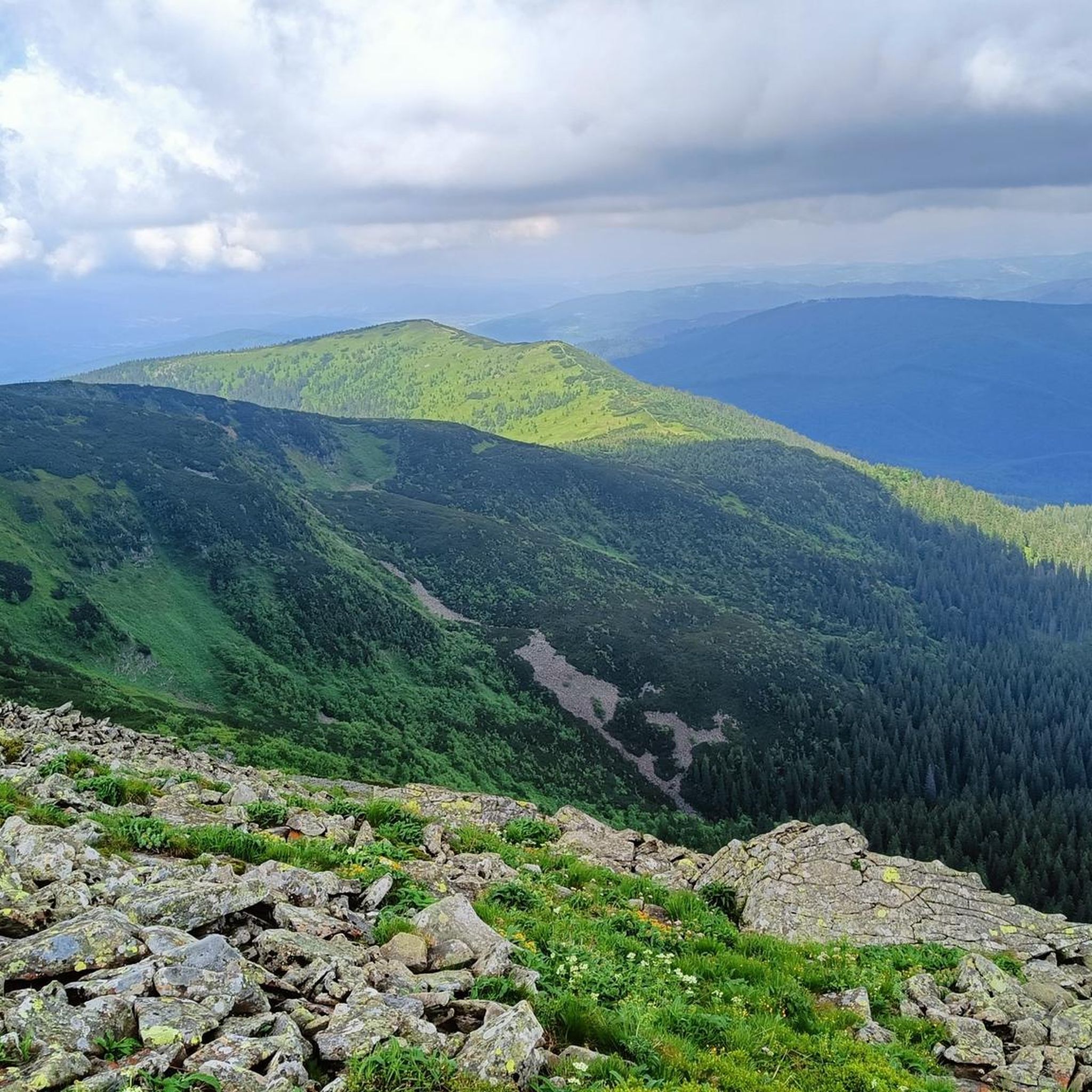
Sokolica, at an altitude of 1,367 meters, is actually an observation deck above a cliff with views of Babia Góra and Zawoja. It's impressive and has inspired artists for years. Oh, and there's a bench too.
1
0
Frequently Asked Questions
What is the general difficulty level of mountaineering routes in gmina Maków Podhalański?
The mountaineering routes in gmina Maków Podhalański primarily feature moderate difficulty. For example, routes like Sokolica Viewpoint – Babia Góra summit loop from Przełęcz Krowiarki and Sokolica Viewpoint loop from Przełęcz Krowiarki are rated as moderate, offering a good balance for various skill levels. The region's diverse terrain, from river valleys to mountain peaks, provides varied experiences.
What kind of terrain can I expect on these mountaineering routes?
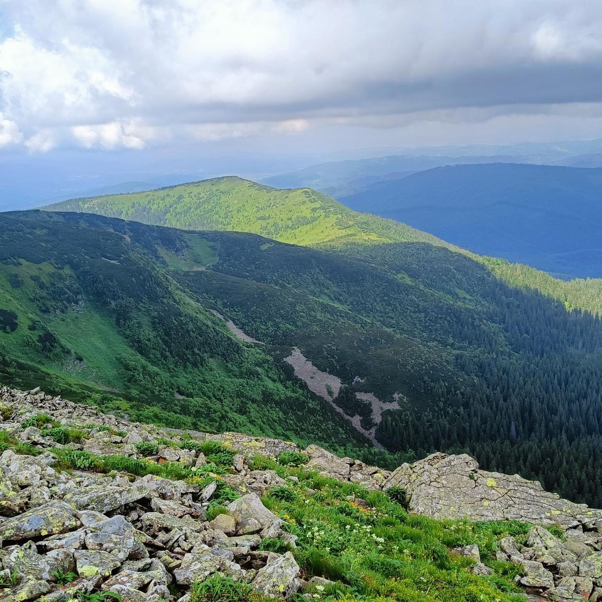
You can expect a diverse landscape, characteristic of the Beskid Makowski mountain range. Routes often traverse scenic valleys, lead through dense forests, and ascend to mountain peaks. The terrain elevation varies significantly, from paths along the Skawa River to higher mountain ascents, including approaches to the Babia Góra area.
Are there any circular mountaineering routes available?
Yes, there are circular routes available for mountaineering. A notable example is the Babica Zachodnia loop from Palcza, which offers a varied mountain experience. The Sokolica Viewpoint – Babia Góra summit loop from Przełęcz Krowiarki is another excellent circular option.
When is the best time of year to go mountaineering in gmina Maków Podhalański?
The Beskid Makowski region is beautiful throughout the year. Spring and autumn offer pleasant temperatures and vibrant scenery, while summer provides longer daylight hours. For winter mountaineering, be prepared for snow and ice, especially at higher elevations, and always check local conditions and safety advisories.
What interesting landmarks or viewpoints can I discover along the routes?
Many routes offer stunning views, such as the panoramic vistas from the Krowiarki Pass and the Sokolica Viewpoint. You might also encounter small chapels along trails like those leading to Mioduszyna. The region is known for its picturesque landscapes within the Beskid Makowski.
Are there other attractions nearby worth visiting after a mountaineering trip?
Absolutely! Beyond the trails, you can explore the historic Sucha Beskidzka Castle. For nature lovers, the area around Wet Pond or the scenic road along Lake Mucharskie offers relaxing alternatives. There's also the PTTK mountain hut on Hala Krupowa for a traditional mountain experience.
Are dogs allowed on the mountaineering routes in gmina Maków Podhalański?
Generally, dogs are welcome on many hiking trails in the Beskid Makowski. However, if your route approaches or enters protected areas like national parks (such as Babia Góra National Park), there might be specific regulations regarding dogs. Always check local signage and park rules before heading out with your pet.
How can I access the trailheads, and is parking available?
Many trailheads, such as Przełęcz Krowiarki, are accessible by car and typically offer parking facilities. For routes further into the mountains, public transport options might be limited, so planning your journey in advance is recommended. Some areas, like Babia Góra, may require entrance tickets.
What do other mountaineers enjoy most about the routes in gmina Maków Podhalański?
The komoot community highly rates the mountaineering routes in gmina Maków Podhalański, with an average score of 4.9 stars from over 100 reviews. Mountaineers often praise the diverse terrain, the stunning views towards Babia Góra, and the well-maintained paths that cater to various ability levels.
Are there options for more challenging mountaineering experiences near gmina Maków Podhalański?
Yes, for those seeking more challenging ascents, gmina Maków Podhalański is conveniently located about 14 km from Zawoja, which serves as a gateway to Babia Góra. Babia Góra offers a significant climb of approximately 800 meters over 3.5 kilometers and is part of a national park, providing a more demanding mountaineering experience.
Are there any family-friendly mountaineering options in the region?
While many routes are moderate, some shorter and less strenuous paths can be suitable for families. The region's diverse network of trails allows for selection based on experience. For example, the Sokolica Viewpoint loop from Przełęcz Krowiarki is a shorter moderate route that might be manageable for active families.
What other outdoor activities can I enjoy in gmina Maków Podhalański besides mountaineering?
Beyond mountaineering, the region is excellent for various outdoor pursuits. Cycling is popular, with trails exploring the Beskids. Horse riding is also available nearby. In winter, ski lifts like Mosorny Groń (about 22 km away) and those in Zawoja (about 21 km away) offer opportunities for winter sports enthusiasts.
Most popular routes around gmina Maków Podhalański
Most popular attractions around gmina Maków Podhalański

Get inspired with the komoot mobile app


Explore more
Browse the best Mountain Hikes & Routes in other regions.
