The best walks and hikes around Kammeltal
4.6
(154)
550
hikers
83
hikes
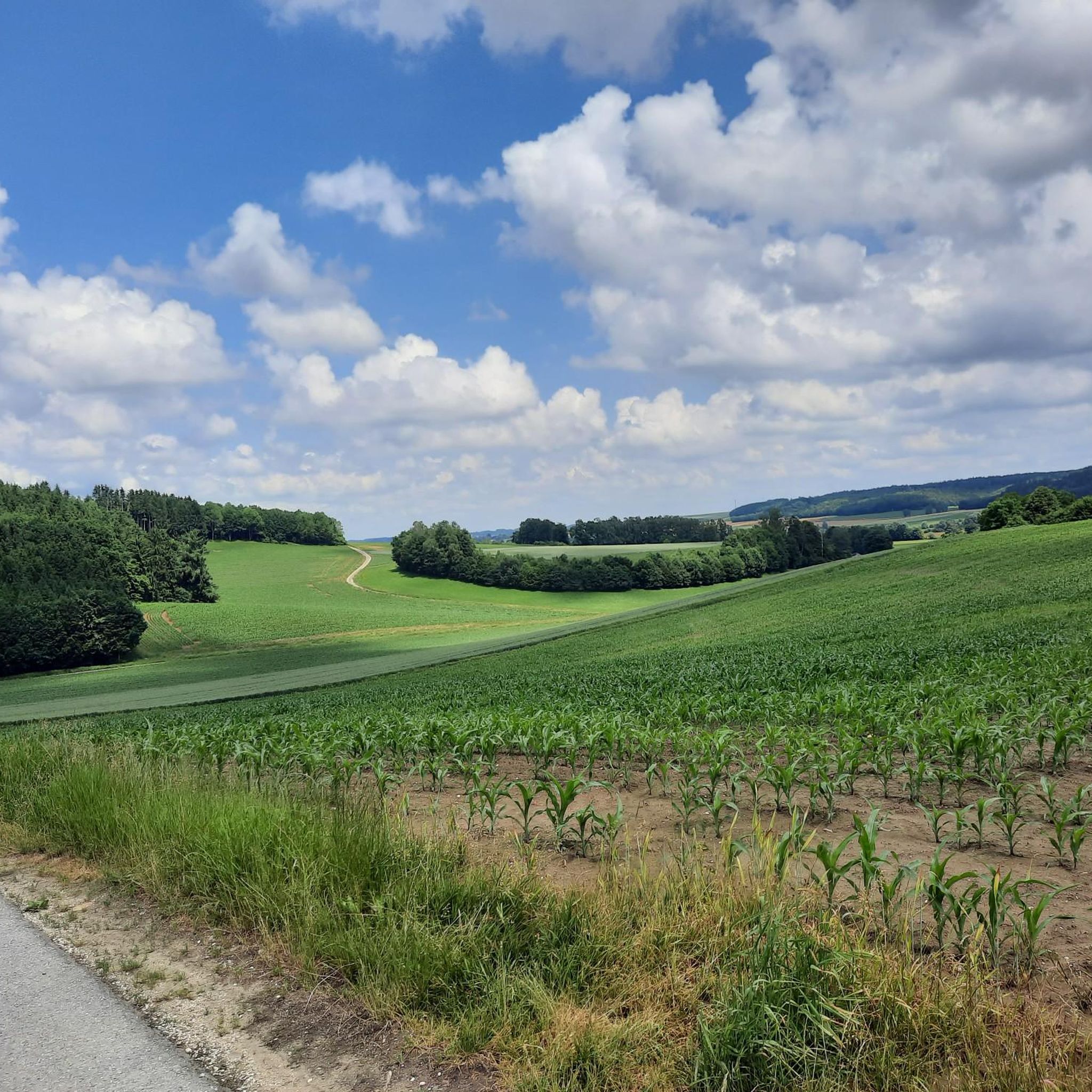
Hiking around Kammeltal offers a varied landscape primarily defined by the Kammel river valley. Hikers can expect to traverse dense forests, lush meadows, and pass through small villages. The region features diverse terrain with options ranging from gentle river paths to routes with moderate elevation changes. This makes Kammeltal a suitable destination for various outdoor activities.
Best hiking trails around Kammeltal
- The most popular hiking route is Wayside Cross with Seating – Unterholz Trail MTB loop from Goldbach, a…
Last updated: July 1, 2026
4.4
(7)
27
hikers
10.1km
02:43
130m
130m
Moderate hike. Good fitness required. Easily-accessible paths. Suitable for all skill levels.
3.5
(2)
15
hikers
6.45km
01:47
110m
110m
Easy hike. Great for any fitness level. Easily-accessible paths. Suitable for all skill levels.

Sign up for free
4.7
(15)
27
hikers
6.95km
01:51
70m
70m
Easy hike. Great for any fitness level. Easily-accessible paths. Suitable for all skill levels.
3.5
(2)
9
hikers
8.15km
02:14
130m
130m
Moderate hike. Good fitness required. Easily-accessible paths. Suitable for all skill levels.
4.8
(4)
17
hikers
2.79km
00:46
50m
50m
Easy hike. Great for any fitness level. Easily-accessible paths. Suitable for all skill levels.
Get access to more routes and recommendations from other explorers.
Sign up for free
Already have an account?
Our route recommendations are based on thousands of hikes, rides, and runs completed by other people on komoot.
Start today with a free account
Your next adventure awaits.
Login or Signup
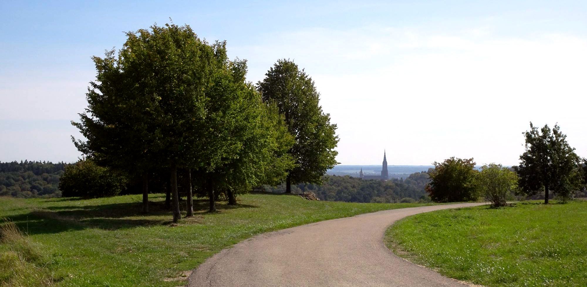
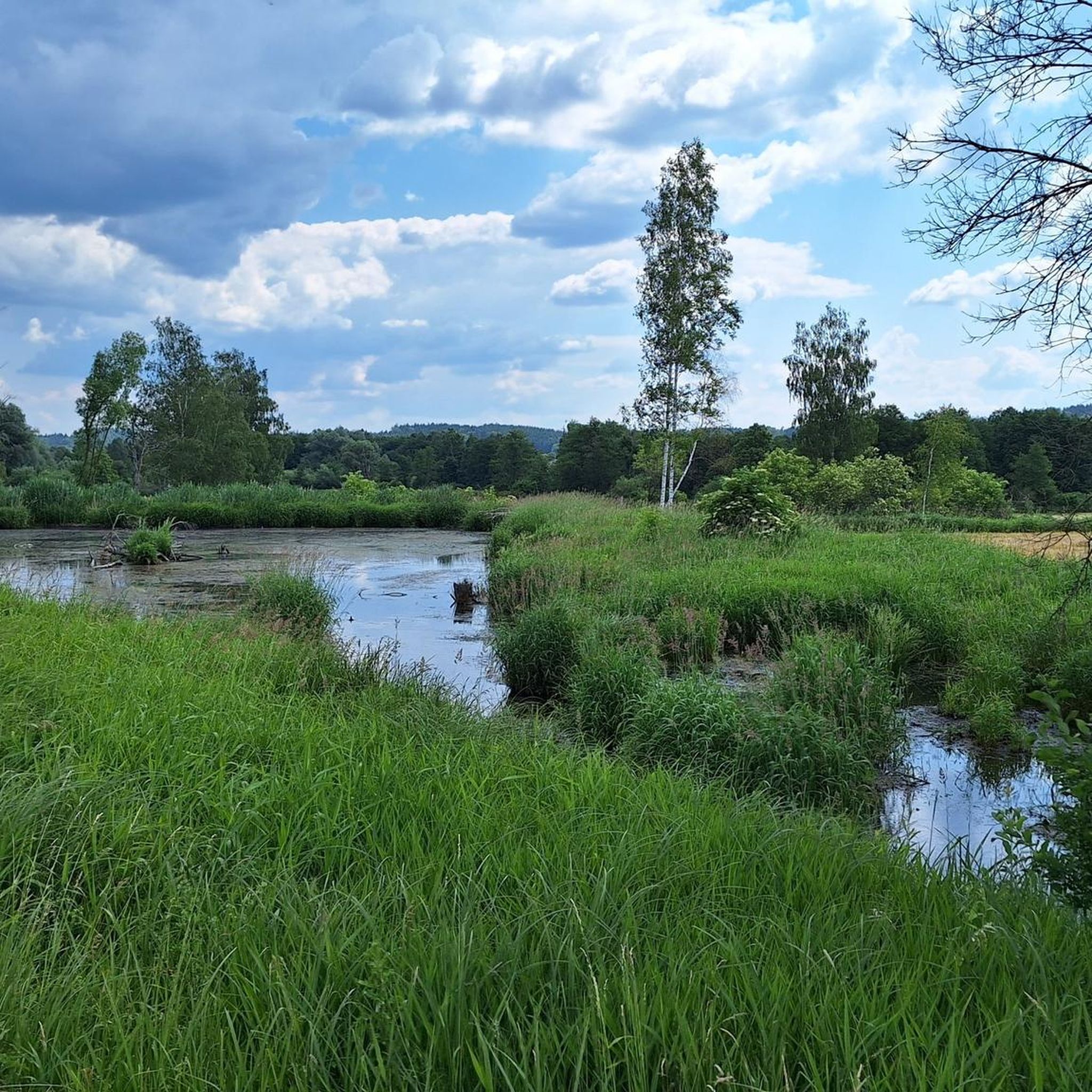
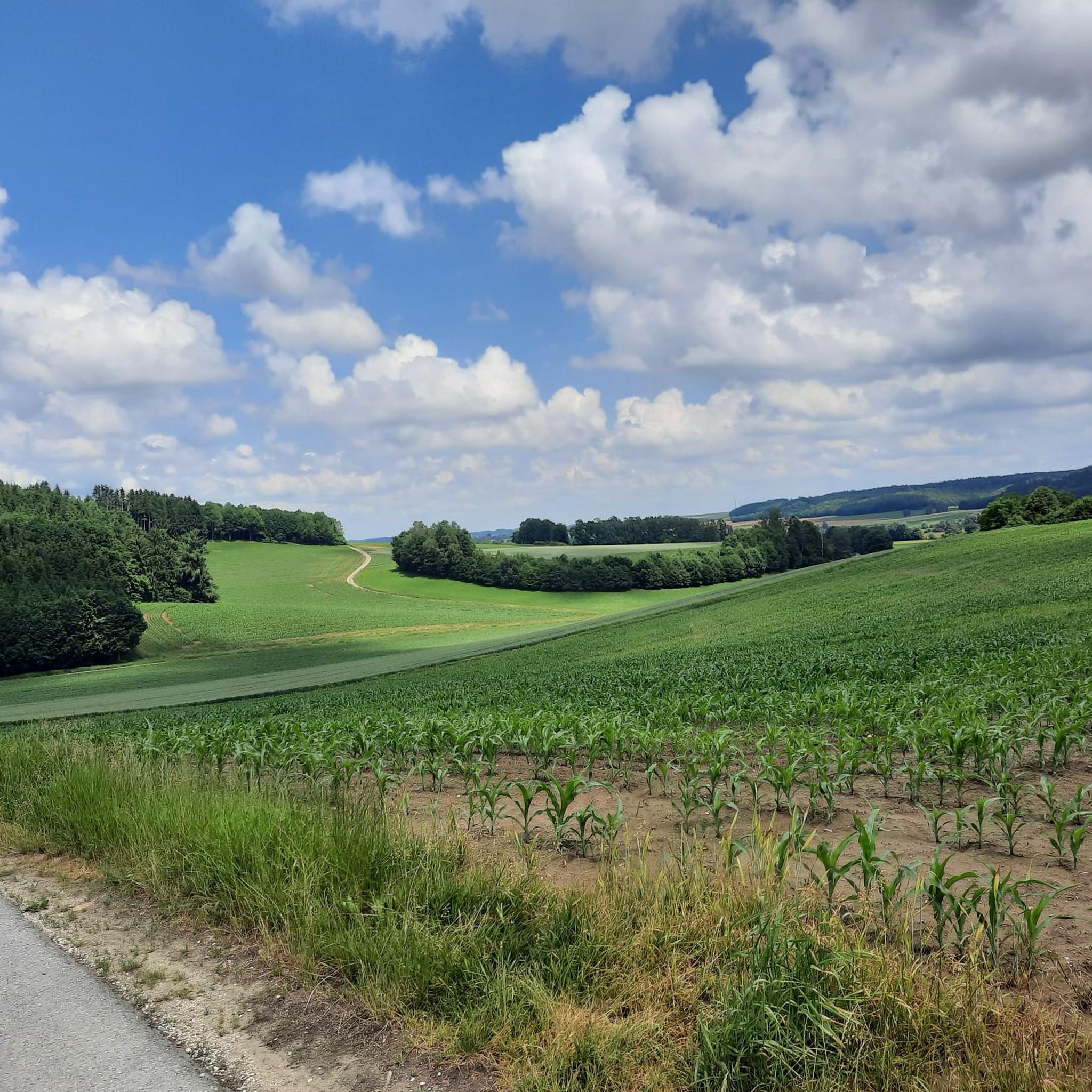
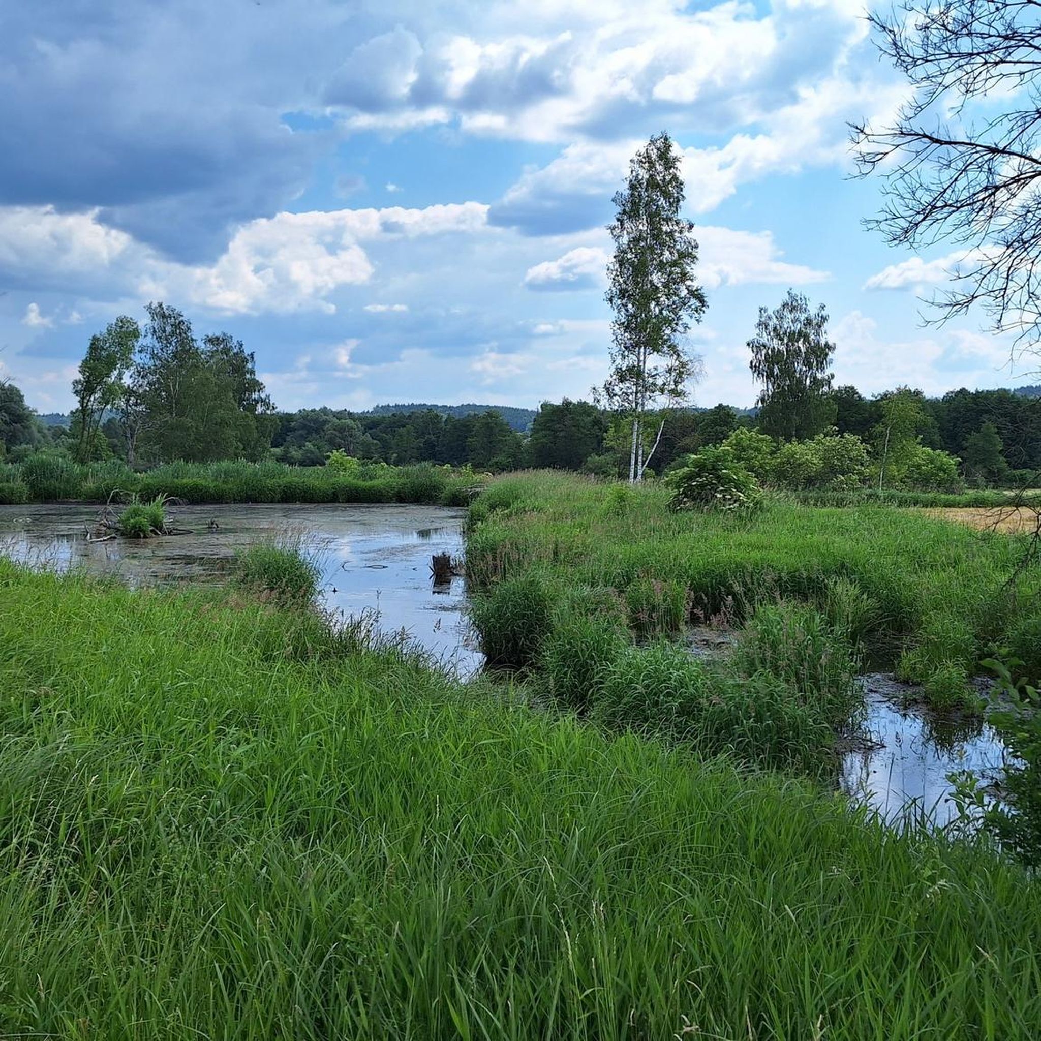
Other adventures around Kammeltal

Tips from the Community

The Celts inhabited the whole of southern Germany - including this area here - but they have left hardly any traces. That's why they are so mysterious. This people obviously consciously avoided recording anything about themselves in writing and are also regarded as mystical.
0
0
The Ichenhausen Celtic farmstead was built in 2007 and is located between fields, meadows, and forest, aiming to convey the impression of a small rural settlement unit from the Iron Age. The association Kultur und Naherholung Ichenhausen und Umgebung (Culture and Recreation Ichenhausen and Surroundings) built the farmstead as a reconstruction on the original site at the border with Kammeltal, to provide insights into the life of the Celts 2500 years ago. Later, in 2013, the original Celtic house was extended by a craft house and a winter house to develop the property into a complete farmstead.
0
0

The farmstead near Ichenhausen aims to vividly depict daily life in an early Celtic settlement. Reconstructed as closely as possible to archaeological finds by the local cultural and recreational association, the complex includes a herb garden, a storage granary on wooden stilts, a dwelling with clay walls, and a pit house. Medicinal plants served as a home pharmacy, and raised storage areas protected supplies from rodents. The construction methods are also revealing. Timber framing, wattle and daub, and clay allude to techniques later found in half-timbered houses.
0
0
The burial mounds on the Celtic Trail near Ichenhausen are hardly visible today. Wind, weather and centuries of agriculture have greatly flattened their shape. Some of the more than 2500-year-old tombs can be found along the path. Originally, these were impressive earthworks. The deceased were probably given grave goods for the afterlife. So far, the Ichenhausen burial mounds have not been opened. They are under strict monument protection.
0
0


Frequently Asked Questions
What kind of terrain can I expect on hikes in Kammeltal?
Kammeltal offers a varied landscape, primarily defined by the Kammel river valley. You can expect to traverse dense forests, lush meadows, and pass through charming small villages. The trails range from gentle river paths to routes with moderate elevation changes, providing a diverse experience for hikers.
Are there family-friendly hiking trails in Kammeltal?
Yes, Kammeltal is a great destination for families. The region features trails like the Kammeltal Adventure Trail, which is specifically designed for children with playgrounds and picnic areas. Many of the 56 easy routes available are also suitable for families looking for a relaxed outing.
Can I bring my dog on hikes in Kammeltal?
While specific dog-friendly trails aren't highlighted, the natural landscape of Kammeltal, with its forests and meadows, generally welcomes dogs. It's always recommended to keep your dog on a leash, especially near villages or wildlife, and to check local regulations for specific routes. Many of the trails, like the Wayside Cross with Seating – Unterholz Trail MTB loop from Goldbach, offer ample space for a walk with your canine companion.
Are there many circular hiking routes available?
Yes, Kammeltal offers numerous circular hiking routes. For example, the Buchberg loop from Goldbach is a popular 7 km circular trail. Many other routes are designed as loops, allowing you to start and end at the same point without retracing your steps.
What historical sites or landmarks can I see while hiking?
Kammeltal's hiking experience is enriched by several historical and cultural landmarks. You can encounter sites like the Kalvarienberg, featuring a 19th-century Stations of the Cross, or the significant Wettenhausen Monastery. The Stubenweiher Limbach – Stuben Pond loop from Wettenhausen Abbey specifically passes by the abbey, offering a chance to see this important ecclesiastical building.
When is the best time of year to go hiking in Kammeltal?
Kammeltal is beautiful throughout the year, but each season offers a unique charm. Summer brings blooming flowers and birdsong, while autumn transforms the landscape with colorful foliage, making it particularly picturesque. Spring is also lovely with fresh greenery. The diverse terrain makes it suitable for hiking in most conditions.
How many hiking trails are there in Kammeltal?
There are over 80 hiking trails available in Kammeltal, offering a wide range of options for all abilities. This includes 56 easy routes and 33 moderate trails, ensuring there's something for everyone.
What are the difficulty levels of the hiking trails?
The hiking trails in Kammeltal primarily range from easy to moderate difficulty. There are 56 easy routes, perfect for leisurely strolls or family outings, and 33 moderate trails for those seeking a bit more challenge. There are no difficult trails listed in the immediate area.
Do any trails follow the Kammel River?
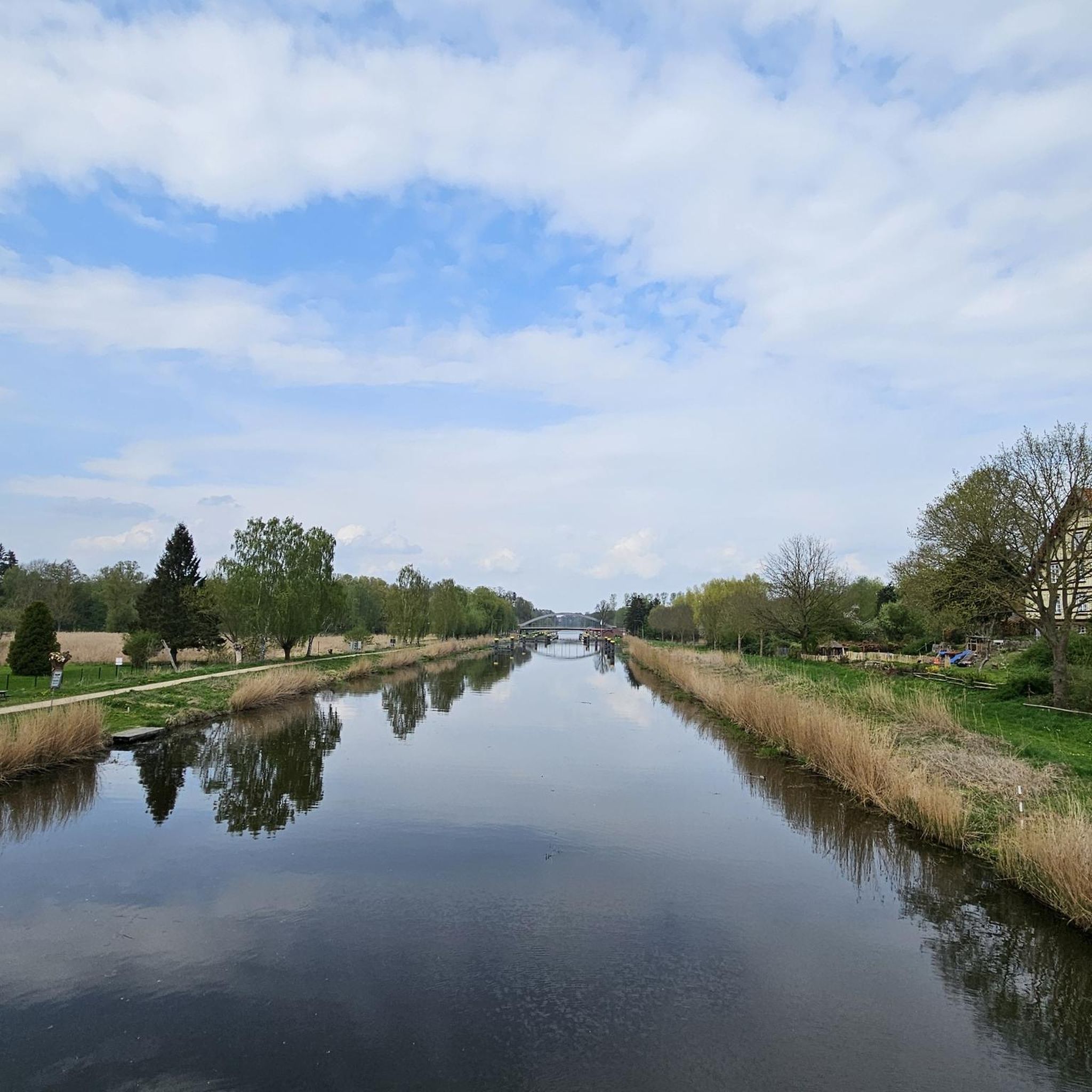
Yes, the Kammel River is a central natural feature of the region. The well-known Kammelwanderung trail specifically leads along the river, winding through forests, meadows, and past small villages, offering scenic views of the surrounding valley. Many other routes also incorporate sections along the river.
Are there any special themed trails in Kammeltal?
Beyond general hiking paths, Kammeltal offers specialized themed routes. These include the 'Herb Trail,' where you can discover various fragrant plants, and the 'History Trail,' which provides insights into the historical significance of the area, enriching your hike with educational elements.
What do other hikers enjoy most about Kammeltal?
The area is highly rated by the komoot community, with an average score of 4.6 stars from over 150 reviews. Hikers often praise the varied landscape, the tranquility of the river valley, and the well-maintained paths through forests and meadows. The combination of natural beauty and cultural points of interest is also frequently highlighted.
Are there any trails with good viewpoints?
Many trails in Kammeltal offer picturesque views, especially those that traverse open meadows or ascend gentle slopes. The region's varied terrain provides opportunities for open vistas over the river valley and surrounding countryside. For example, the Celtic Homestead Ichenhausen – View over the fields loop from Kammeltal offers expansive views over the fields.
Is there good parking access to the trails?
While specific parking locations for every trail are not detailed, Kammeltal is generally accessible by car, and many trailheads in and around the small villages likely offer parking options. For example, routes starting from Goldbach or Wettenhausen Abbey would typically have parking available nearby.
Most popular routes around Kammeltal
Most popular attractions around Kammeltal

Get inspired with the komoot mobile app


Explore more
Browse the best Hikes in other regions.
