The best running trails around Brousse-Le-Château
3.9
(5)
507
runners
19
runs
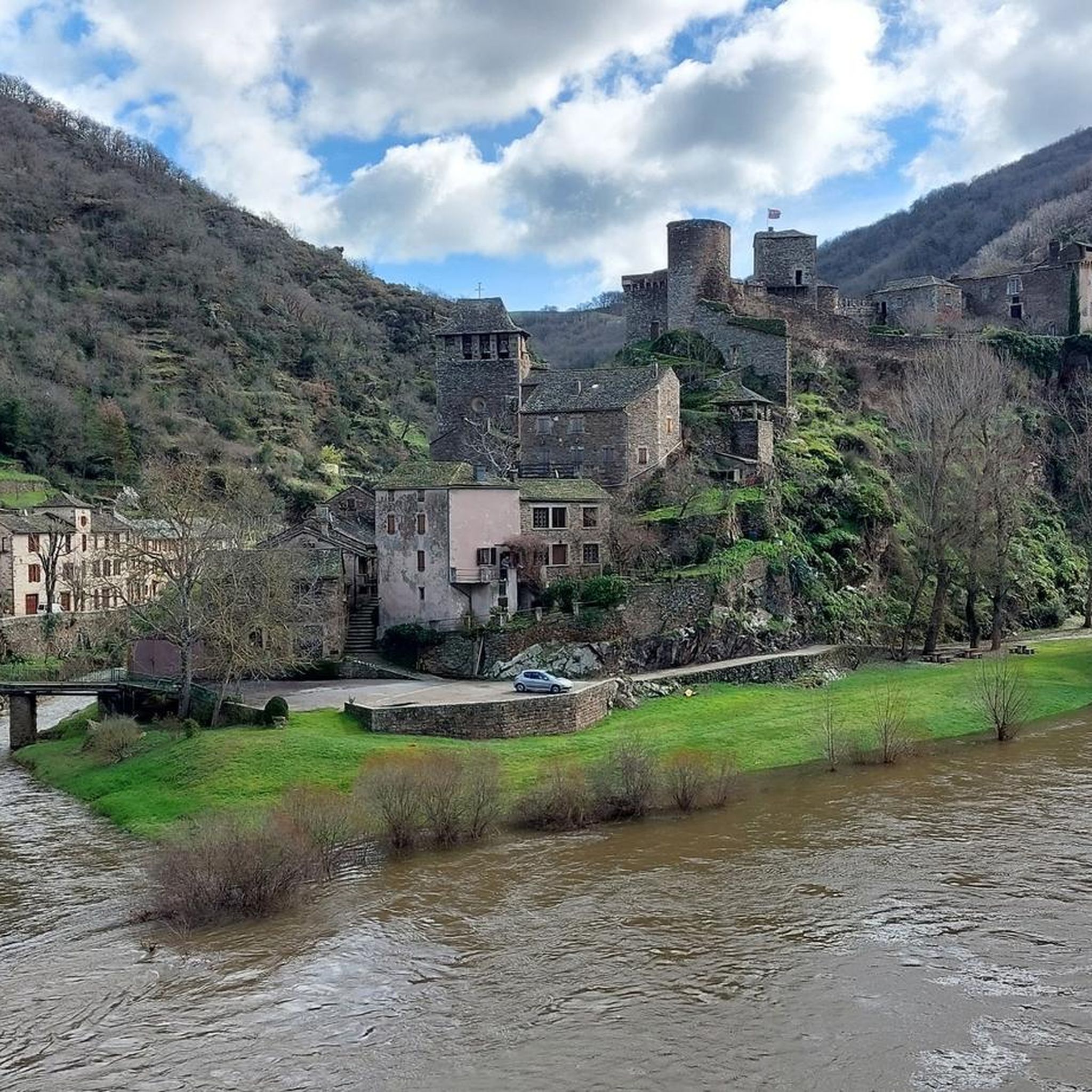
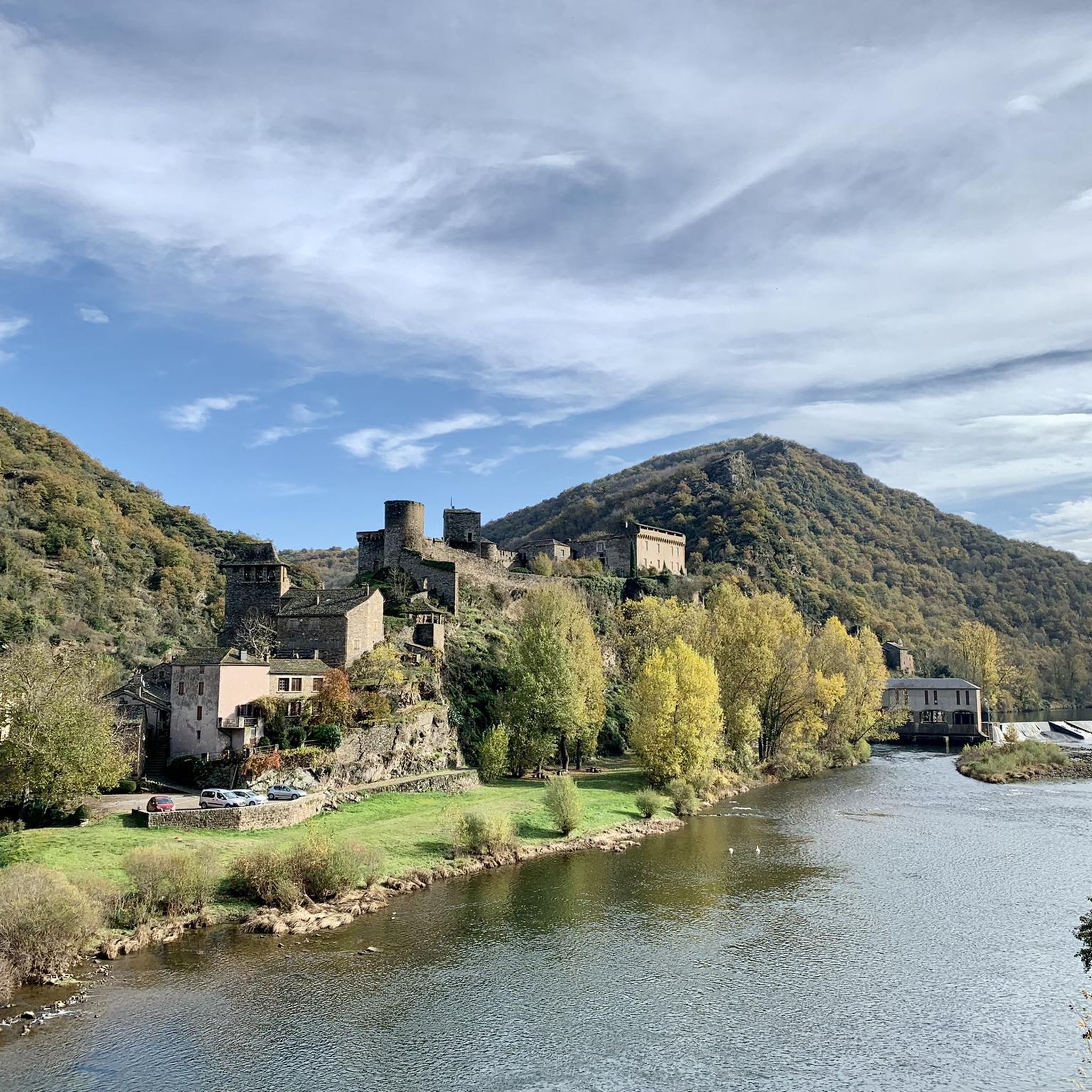
Jogging routes around Brousse-Le-Château are characterized by varied terrain, including riverside paths along the Tarn and Alrance rivers, forested slopes, and ascents towards the village's rocky spur. The region, part of the Regional Natural Park of the Grands Causses, features lush green hills and canyons, offering a dynamic environment for runners. This area provides a mix of flat stretches and challenging inclines, with routes often winding through natural landscapes and past medieval architecture.
Best jogging routes around Brousse-Le-Château
- The most…
Last updated: June 29, 2026
8
runners
17.3km
02:18
620m
620m
Hard run. Very good fitness required. Mostly paved surfaces. Suitable for all skill levels.
8
runners
16.2km
01:57
330m
330m
Hard run. Very good fitness required. Mostly paved surfaces. Suitable for all skill levels.

Sign up for free
4.0
(1)
6
runners
9.84km
01:10
250m
250m
Moderate run. Good fitness required. Mostly paved surfaces. Suitable for all skill levels.
4.0
(1)
5
runners
9.90km
01:10
250m
250m
Moderate run. Good fitness required. Mostly paved surfaces. Suitable for all skill levels.
3
runners
11.3km
01:19
220m
220m
Moderate run. Good fitness required. Mostly paved surfaces. Suitable for all skill levels.
Get access to more routes and recommendations from other explorers.
Sign up for free
Already have an account?
Our route recommendations are based on thousands of hikes, rides, and runs completed by other people on komoot.
Start today with a free account
Your next adventure awaits.
Login or Signup
Tips from the Community

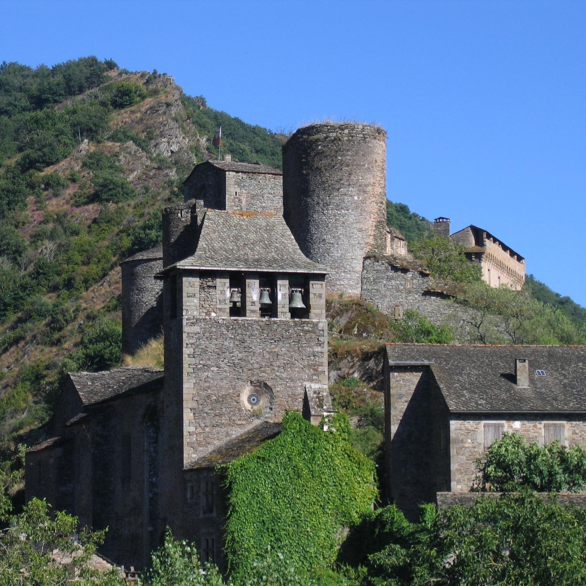
Gothic church overlooking the village
0
0

From the Lincou bridge, the view of the Tarn which meanders through this part of the valley is superb.
1
0

Imposing mass of red sandstone which reminds us of the proximity of the Rougiers de Camarès. It can be visited and is classified as a Historic Monument. A small path, just behind the castle, leads to the valley between the Gos and the Dourdou, with its many red earth paths.
1
0
Small trail in red earth, in the heights of Saint-Izaire and reminiscent of the Rougiers de Camarès, which are not very far.
1
0
View under the arcaded bridge, at the confluence of the Tarn and the Dourdou, on the Saint-Affricain greenway which avoids the departmental road.
1
0
Frequently Asked Questions
How many running routes are available in Brousse-Le-Château?
There are 18 dedicated running routes around Brousse-Le-Château. These routes offer a variety of experiences, from moderate runs to more challenging trails with significant elevation gain.
What kind of terrain can I expect on the running trails around Brousse-Le-Château?
The running trails in Brousse-Le-Château feature varied terrain, including picturesque riverside paths along the Tarn and Alrance rivers, steep forested slopes, and ascents towards the village's rocky spur. As part of the Regional Natural Park of the Grands Causses, you'll encounter lush green hills and canyons, offering a dynamic environment for runners.
Are there any circular running routes in the Brousse-Le-Château area?
Yes, many of the running routes in the area are circular. For example, the Bridge over the Tarn loop from Les Alvernhes is a moderate 9.8 km (6.1 miles) trail that takes you through varied landscapes.
What do other runners say about the trails in Brousse-Le-Château?
The routes in Brousse-Le-Château are highly rated by the komoot community, with an average score of 3.9 stars from over 5 reviews. More than 500 runners have used komoot to explore the varied terrain, often praising the scenic beauty and diverse challenges.
Are there routes suitable for beginners or those looking for an easier run?
While there are no routes specifically classified as 'easy', there are 9 moderate routes available. These offer a less strenuous option compared to the more difficult trails, allowing you to enjoy the scenery without extreme challenges. One such route is the Lincou Church – Soldiers' Path loop from Lincou, a 10.2 km (6.3 miles) run with minimal elevation gain.
Are there challenging running trails for experienced runners?
Absolutely. Brousse-Le-Château offers 9 difficult routes for experienced runners seeking a challenge. A notable option is the Bridge over the Tarn at Lincou – Lincou Church loop from Réquista, a demanding 17.3 km (10.8 miles) trail with over 600 meters of elevation gain, offering stunning views of the Tarn valley.
What interesting landmarks or attractions can I see along the running routes?
Many routes offer views of the region's rich history and natural beauty. You can often spot the 9th-century fortified Château de Brousse-le-Château perched above the village. Other highlights include the medieval architecture of the village itself, and the Bridge over the Tarn at Lincou. The area is also part of the Regional Natural Park of the Grands Causses, providing magnificent panoramic views.
Are there any routes that pass by lakes or significant water features?
Yes, some routes offer views of water features. The region is situated at the confluence of the Tarn and Alrance rivers, so many paths follow these waterways. While not directly on a running route, the Lake Villefranche-de-Panat is a notable nearby attraction that could be explored separately.
Is Brousse-Le-Château a good destination for combining running with sightseeing?
Definitely. Brousse-Le-Château is classified as one of 'the most beautiful villages in France,' offering a blend of medieval charm and stunning natural beauty. Jogging through the village's cobbled streets or along paths leading to the castle allows for an immersive experience, combining physical activity with historical exploration and breathtaking views over the Tarn and Dourdou valleys.
What is the best time of year to go running in Brousse-Le-Château?
The region's lush green hills and varied terrain are enjoyable throughout much of the year. Spring and autumn generally offer pleasant temperatures for running, with vibrant foliage or blooming wildflowers. Summer can be warm, but riverside paths provide cooler options. It's always advisable to check local weather forecasts before heading out.
Are there any long-distance running options available?
Yes, for those looking for longer runs, there are several options exceeding 15 km (9 miles). The Sentier des rougiers – Bridge over the Tarn loop from Saint-Izaire is a difficult 16.2 km (10.1 miles) path that explores diverse terrain along the Tarn river, perfect for a longer outing.
Most popular attractions around Brousse-Le-Château

Get inspired with the komoot mobile app


Explore more
Browse the best Running Trails & Routes in other regions.
