The best mountain hikes around Sainte-Engrâce
5.0
(2)
61
hikers
6
hikes
Mountaineering routes around Sainte-Engrâce are set within the dramatic mountainous terrain of the Basque Country, offering a diverse natural landscape. The region is characterized by deep gorges, impressive peaks, and a network of trails in the Pyrénées-Atlantiques. Situated at 630 meters altitude, it provides a base for exploring the surrounding high-altitude environments.
Best mountaineering routes around Sainte-Engrâce
- The most popular mountaineering route is Collado de Linza loop from Cocina libre Linza, a 10.5 miles (16.9 km) trail that takes…
Last updated: June 29, 2026
5.0
(1)
19
hikers
Hard mountaineering route. Very good fitness required. Sure-footedness, sturdy shoes and alpine experience required.
5.0
(1)
17
hikers
Hard mountaineering route. Very good fitness required. Mostly accessible paths. Sure-footedness required.

Sign up for free
11
hikers
Hard mountaineering route. Very good fitness required. Sure-footedness, sturdy shoes and alpine experience required.
10
hikers
13.4km
05:32
750m
750m
Hard mountaineering route. Very good fitness required. Sure-footedness, sturdy shoes and alpine experience required.
4
hikers
12.6km
05:30
990m
990m
Hard mountaineering route. Very good fitness required. Mostly accessible paths. Sure-footedness required.
Our route recommendations are based on thousands of hikes, rides, and runs completed by other people on komoot.
Start today with a free account
Your next adventure awaits.
Login or Signup
Popular around Sainte-Engrâce
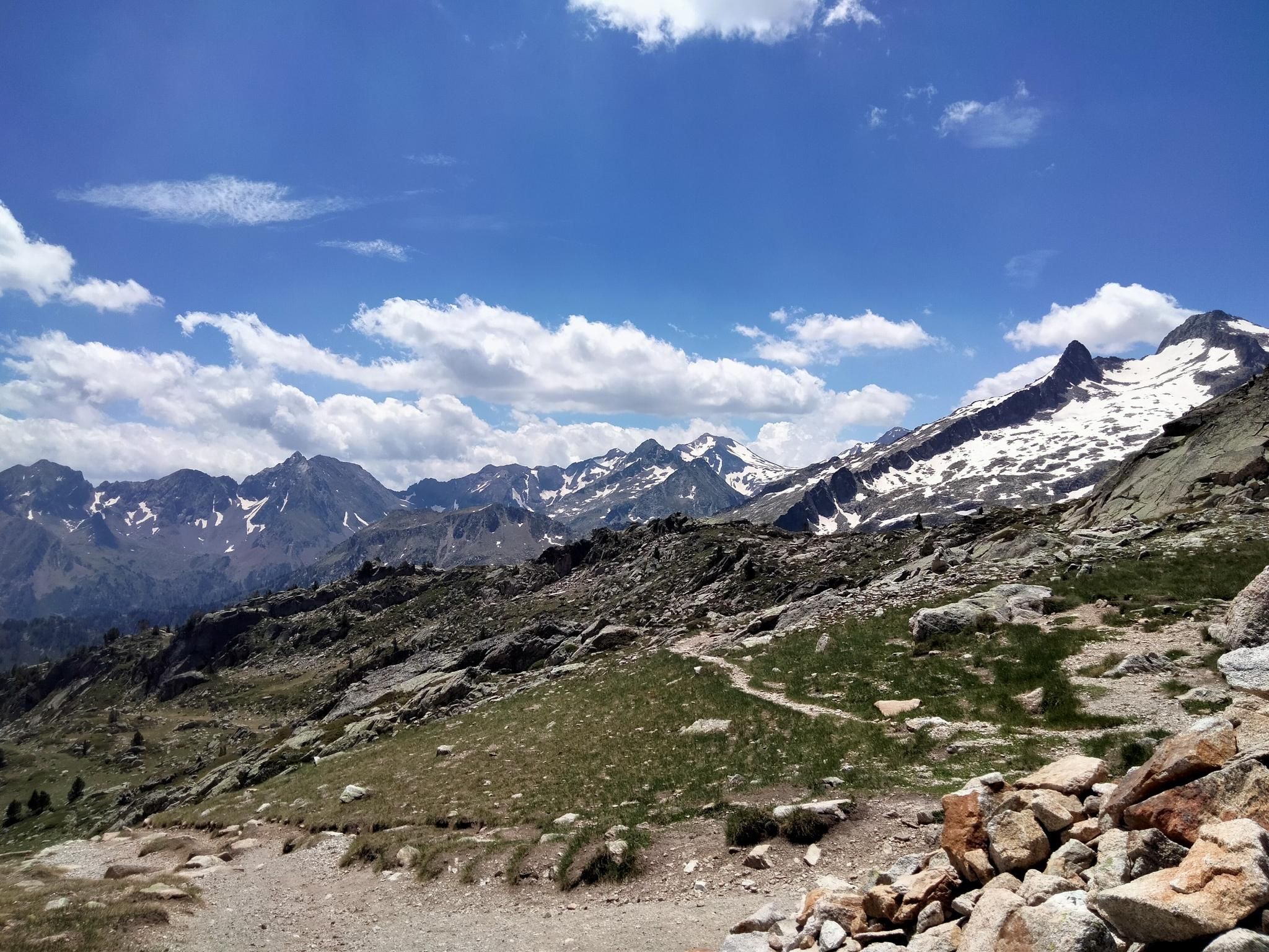
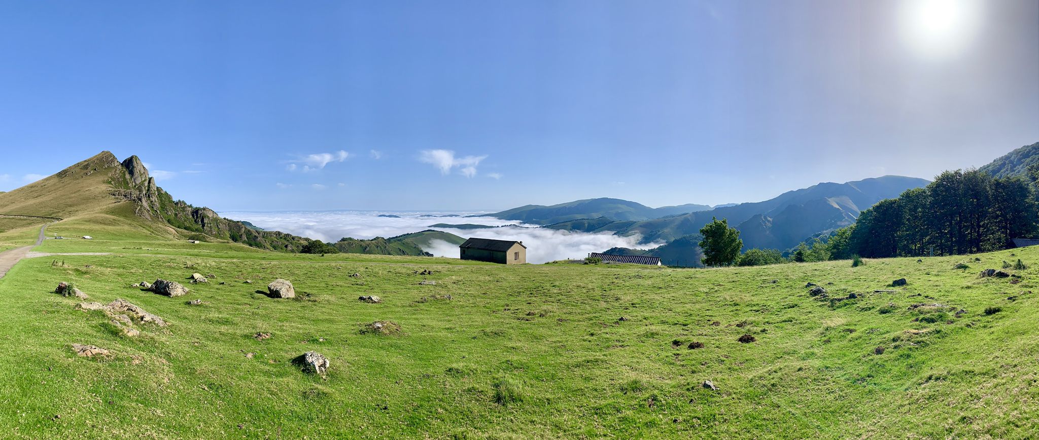
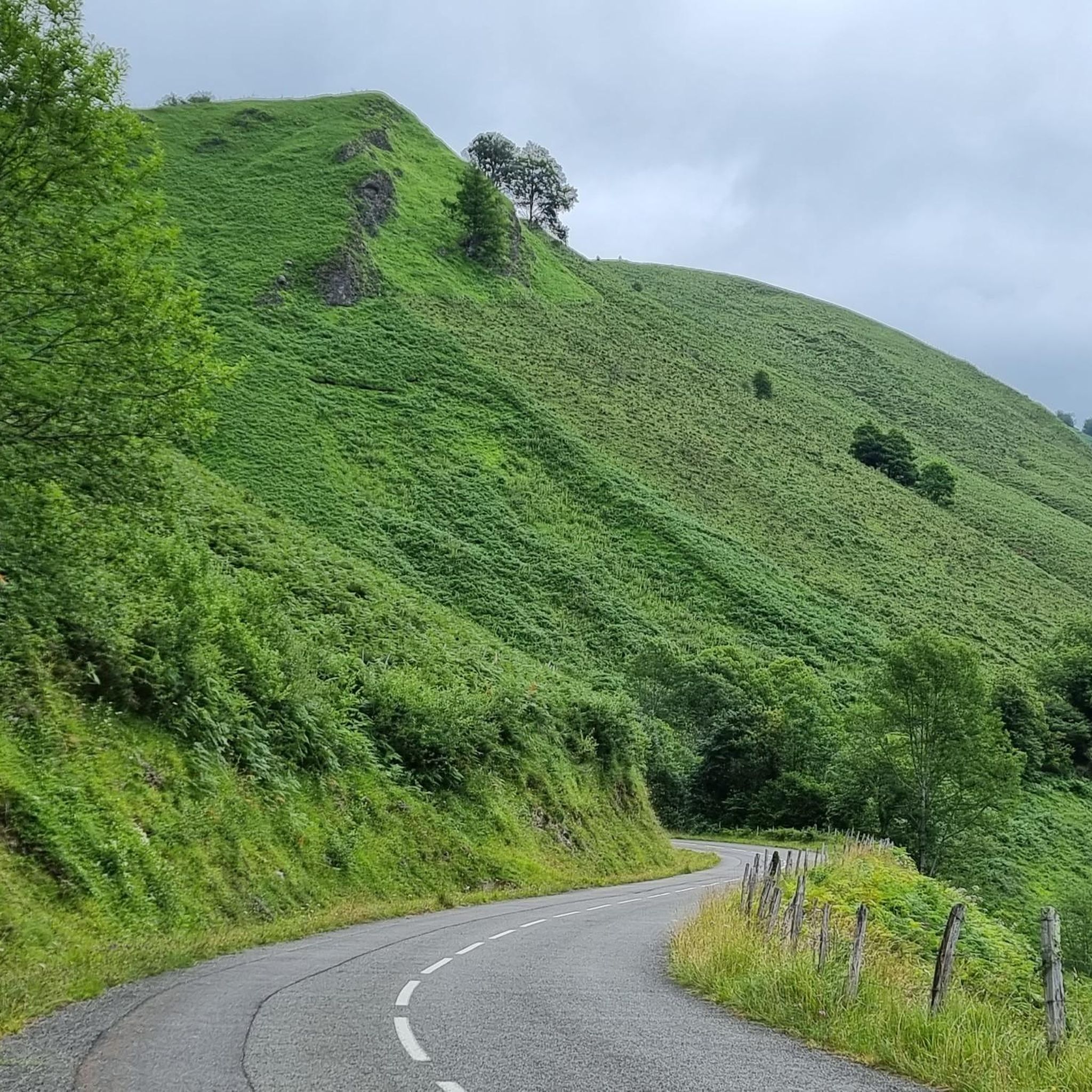
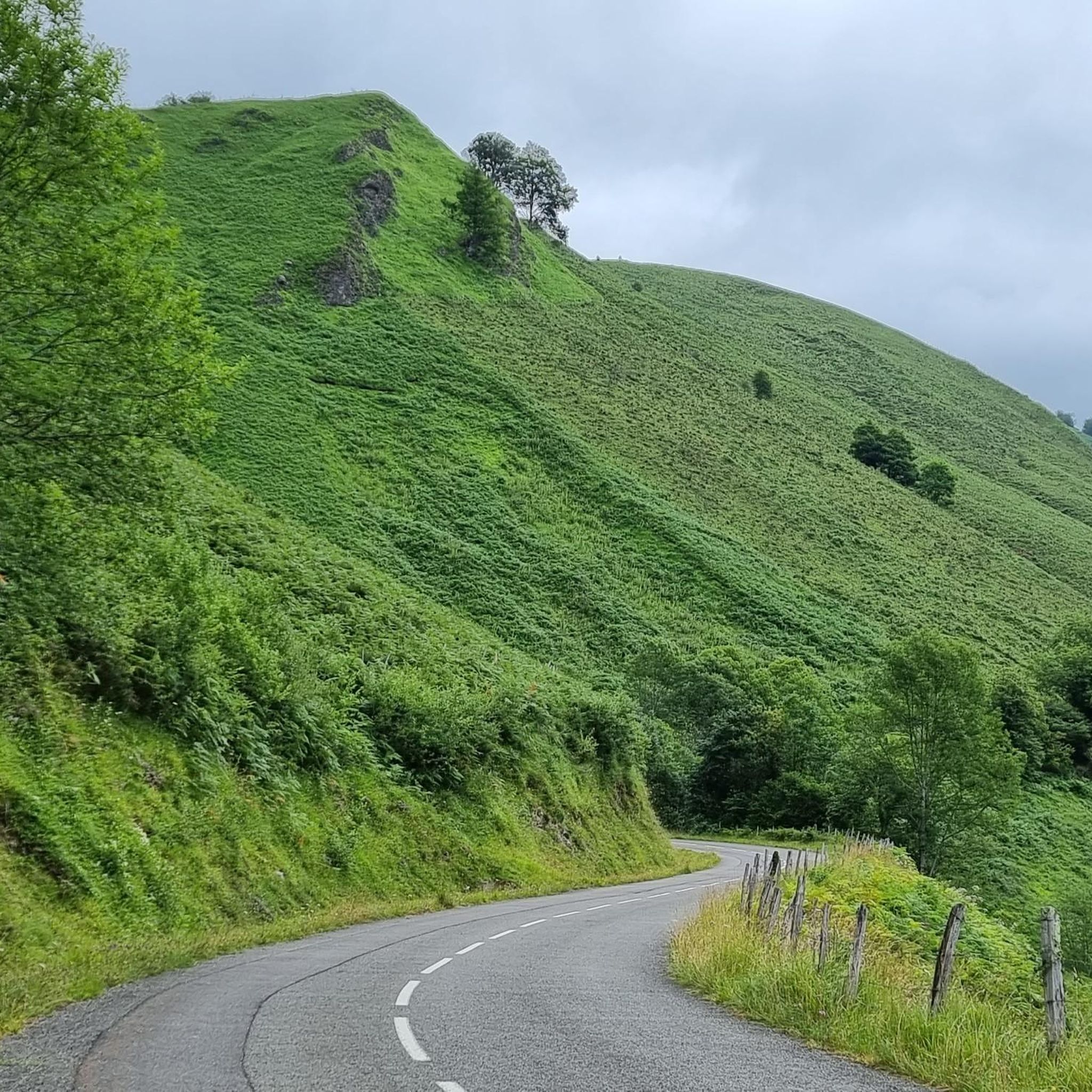

Tips from the Community

After breakfast, it closes for a while for cleaning. Fill up your water bottle before heading up, as it's a scarce resource up there.
0
0

There is no ibon, it doesn't match the photos. It's just a pond for the animals to drink from.
0
0
If you arrive early you can have minutes of silence
0
0

The mountain route to reach the balconies of Lakartxela leaves from the site of the old Venta de Arrako, near the dolmen and the hermitage of Nuestra Señora de Arrako, a simple sanctuary on the Belagua plain at the foot of the splendid mountains of the Roncal Pyrenees. . The path follows the red and white markings of the long-distance path until Venta de Juan Pito, at the first fork of the road that goes up to the popular port of Piedra de San Martín. The path is clear in the beech forest, it goes up the slope of the mountain to the Arrakogoiti pass and connects with the GR-12, a spectacular crossroads of paths and landscapes on the line of the French slope. An option for summit collectors is to climb the nearby Bimbaleta (1,757 m) via the Portillo de Bimbaleta. The mountain trail follows the hiking marks on the southern slope of Bimbaleta to Portillo Kartxela and begins the path that goes up to the Lakartxela ridge. The first ramp is a wall of impressive green steps. The milestones mark the most comfortable steps and facilitate access to Keleta (1,904 m), the first peak of the rope, and continue to the main summit of Lakartxela (1,989 m), with a very hospitable mailbox at the top.
0
0

Exceptional spot. To fully enjoy it, sunrise or sunset are preferred.
0
0

The peak of Arlas forms a beautiful, incisive tooth, which stands out particularly well in the surrounding panoramas. On this point, you are ideally placed to admire his profile. The peak rises to an altitude of 2,044 meters and is located between Navarre in Spain and the Pyrénées-Atlantiques in France.
0
0

Just like the rest of the route, wherever you look...
3
0
Frequently Asked Questions
What is the general difficulty level of mountaineering routes around Sainte-Engrâce?
Mountaineering routes in Sainte-Engrâce are generally considered challenging, designed for experienced mountaineers. All 11 routes listed in this guide are rated as 'difficult', featuring significant elevation gains and rugged mountain terrain.
Are there any circular mountaineering routes available in Sainte-Engrâce?
Yes, many of the mountaineering routes around Sainte-Engrâce are circular. For example, you can explore the challenging Collado de Linza loop from Cocina libre Linza, which covers 16.9 km with over 1180 meters of elevation gain, or the Pic d'Arlas – Anie Peak loop from Gouffre de la Pierre-Saint-Martin (Puits Lépineux), a 13.4 km route offering expansive views.
What kind of natural features can I expect to see while mountaineering in this region?
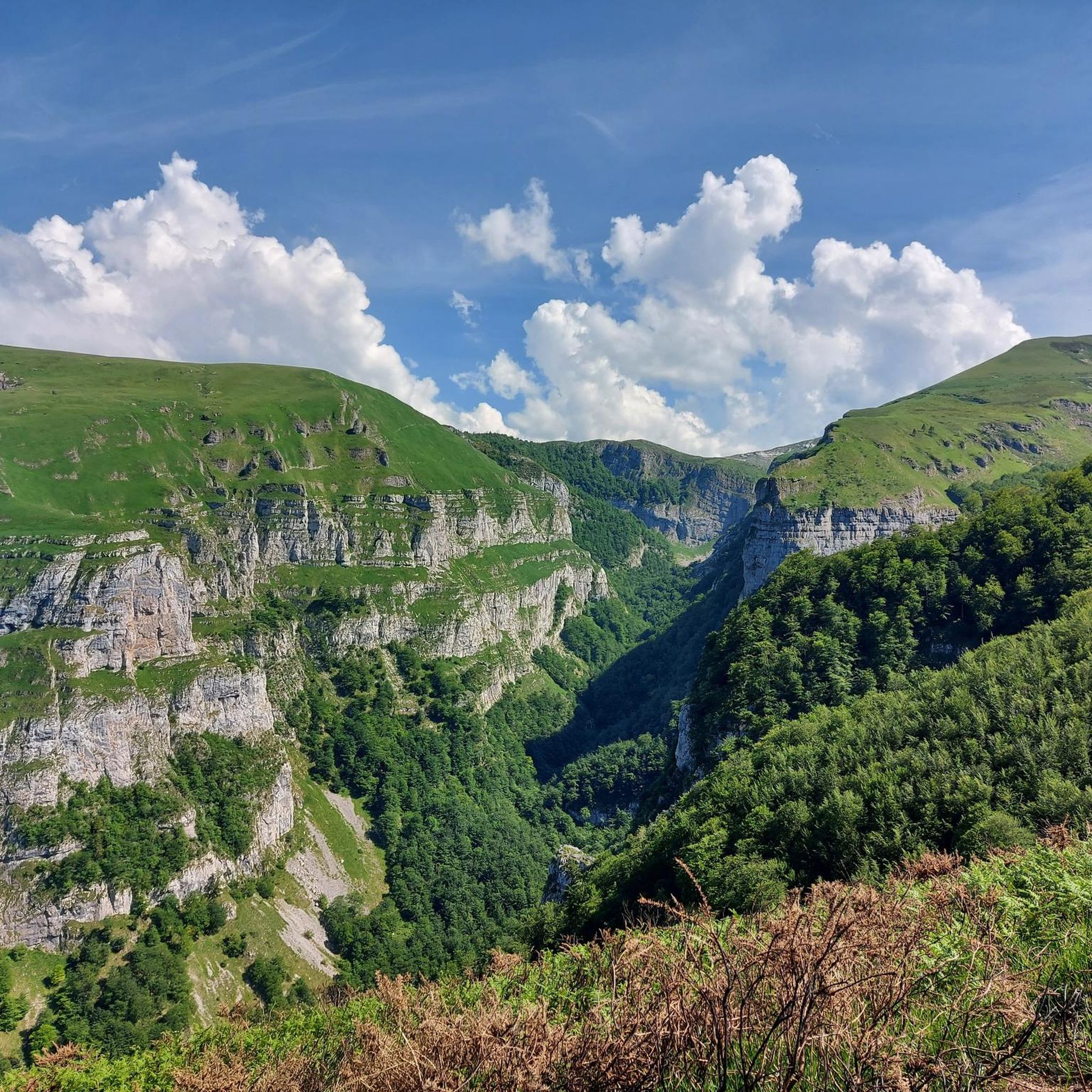
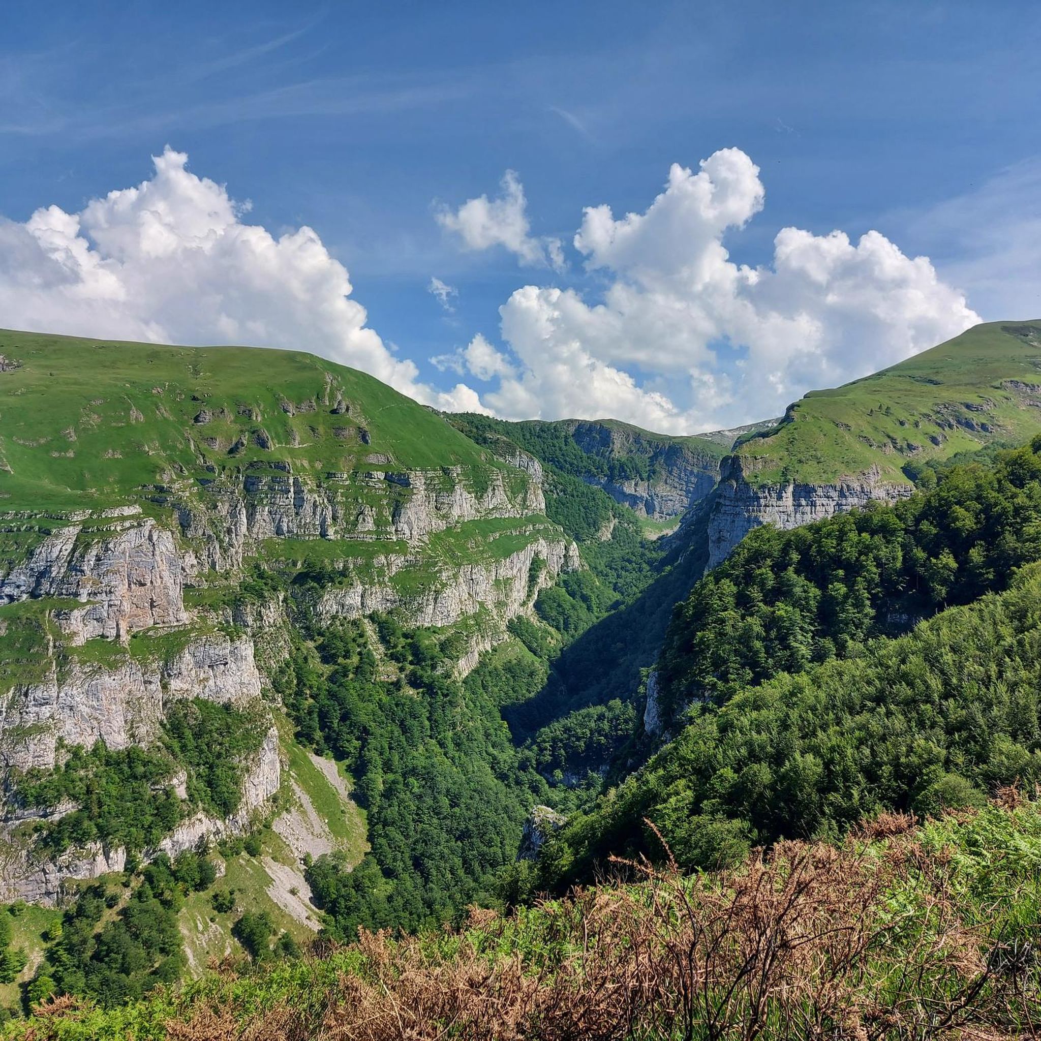
Sainte-Engrâce is renowned for its dramatic mountainous terrain, deep gorges, and impressive peaks. You'll encounter vertiginous walls, lush ferns, and waterfalls in areas like the Ehüjarre Gorges. The routes also offer panoramic views of the Pyrenees and opportunities to discover 'cayolars' (shepherds' huts) and observe flocks of sheep alongside streams.
Are there any notable peaks or viewpoints accessible on these routes?
Absolutely. The region is home to several significant peaks. You can reach Pic d'Orhy, the highest point in the Basque Country, offering incredible panoramas. Another prominent summit is the Table of the Three Kings (Hiru Erregen Mahaia), the highest peak in Navarra. Many routes, such as the Forking – Summit of Anie 2504m loop from Col de la Pierre Saint-Martin, ascend towards these prominent peaks.
What is the best time of year for mountaineering in Sainte-Engrâce?
The best time for mountaineering in Sainte-Engrâce is generally from spring through autumn when the weather is more stable and trails are clear of snow. The La Verna Cave, a significant attraction, is open from April to November, suggesting good conditions during these months. Winter mountaineering is possible but requires specialized gear and experience due to snow and ice.
Can I find any interesting attractions or landmarks near the mountaineering trails?
Yes, the area offers several unique attractions. The Holzarte Footbridge, suspended 140 meters above a canyon, provides spectacular views. While the Kakuetta Gorges are closed for 2025, the Ehüjarre Gorges offer wild landscapes and impressive waterfalls. For a unique underground experience, the La Verna Cave (Gouffre de la Pierre Saint-Martin) boasts one of Europe's largest accessible underground chambers.
What do other mountaineers say about the routes in Sainte-Engrâce?
The mountaineering routes in Sainte-Engrâce are highly regarded by the komoot community, holding an average rating of 5.0 stars from reviewers. Mountaineers often praise the dramatic mountainous terrain, the challenging nature of the trails, and the expansive views of the Pyrenees.
Are there any routes that pass through high mountain passes?
Yes, several routes traverse high mountain passes. For instance, the Pic d'Ansabère / Petrechema – Collado de Linza loop from Cocina libre Linza leads through high mountain passes and rocky terrain, offering a true high-alpine experience.
What are the typical durations and elevation gains for mountaineering routes here?
The mountaineering routes in Sainte-Engrâce typically range from 5 to over 8 hours in duration. Elevation gains are substantial, often between 700 to over 1100 meters. For example, the Acherito – Paso del Caballo loop from Cocina libre Linza is about 12.6 km with nearly 970 meters of ascent, taking around 5 hours and 45 minutes.
Are there any huts or shelters along the mountaineering trails?
Yes, you may encounter shepherds' huts, known as 'cayolars', along some trails. Additionally, specific highlights like the Ansabère Huts and Cabane d'Ardane Gaïnekoa are points of interest that can be found in the vicinity of the mountaineering routes.
What is the highest point I can reach on a mountaineering route in Sainte-Engrâce?
While many routes offer significant ascents, the region allows access to prominent peaks like Pic d'Orhy, which stands at 2,017 meters, and the Table of the Three Kings (Hiru Erregen Mahaia) at 2,444 meters, offering some of the highest points in the Basque Country and Navarra respectively.
Most popular routes around Sainte-Engrâce
Most popular attractions around Sainte-Engrâce

Get inspired with the komoot mobile app


Explore more
Browse the best Mountain Hikes & Routes in other regions.
