The best walks and hikes around Damiatte
4.7
(70)
432
hikers
13
hikes
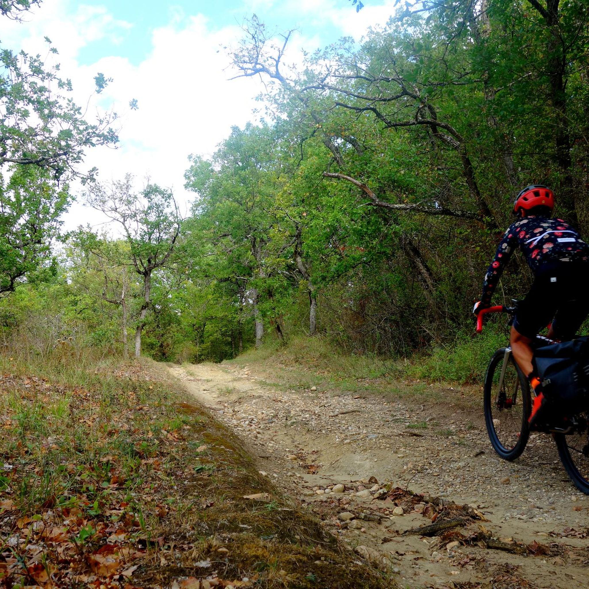
Hiking around Damiatte offers varied landscapes in the Tarn department of southern France. The region features hills with views of the distant Montagne Noire and the Pyrenees. Trails often ascend from the Agout valley to higher plateaus, traversing areas characterized by limestone and clay soils. These natural features support diverse flora and wooded sections, contributing to a distinctive hiking environment.
Best hiking trails around Damiatte
- The most popular hiking route is Lake tours loop from Graulhet, a 1.7 miles…
Last updated: May 17, 2026
4.5
(2)
22
hikers
4.31km
01:08
30m
30m
Easy hike. Great for any fitness level. Easily-accessible paths. Suitable for all skill levels.
5.0
(4)
17
hikers
15.0km
04:11
290m
290m
Moderate hike. Good fitness required. Easily-accessible paths. Suitable for all skill levels.

Sign up for free
5.0
(2)
8
hikers
5.60km
01:30
60m
60m
Easy hike. Great for any fitness level. Easily-accessible paths. Suitable for all skill levels.
5.0
(1)
7
hikers
Moderate hike. Good fitness required. Easily-accessible paths. Suitable for all skill levels.
5
hikers
4.68km
01:20
110m
110m
Easy hike. Great for any fitness level. Easily-accessible paths. Suitable for all skill levels.
Get access to more routes and recommendations from other explorers.
Sign up for free
Already have an account?
Our route recommendations are based on thousands of hikes, rides, and runs completed by other people on komoot.
Start today with a free account
Your next adventure awaits.
Login or Signup


Tips from the Community

Loving work, never seen before
0
0

In the heart of the Fête de l'Ail Rose, medieval town known for its mill and its narrow streets. The Cafe Plum in the center of the village offers local cuisine in an artistic setting.
1
0

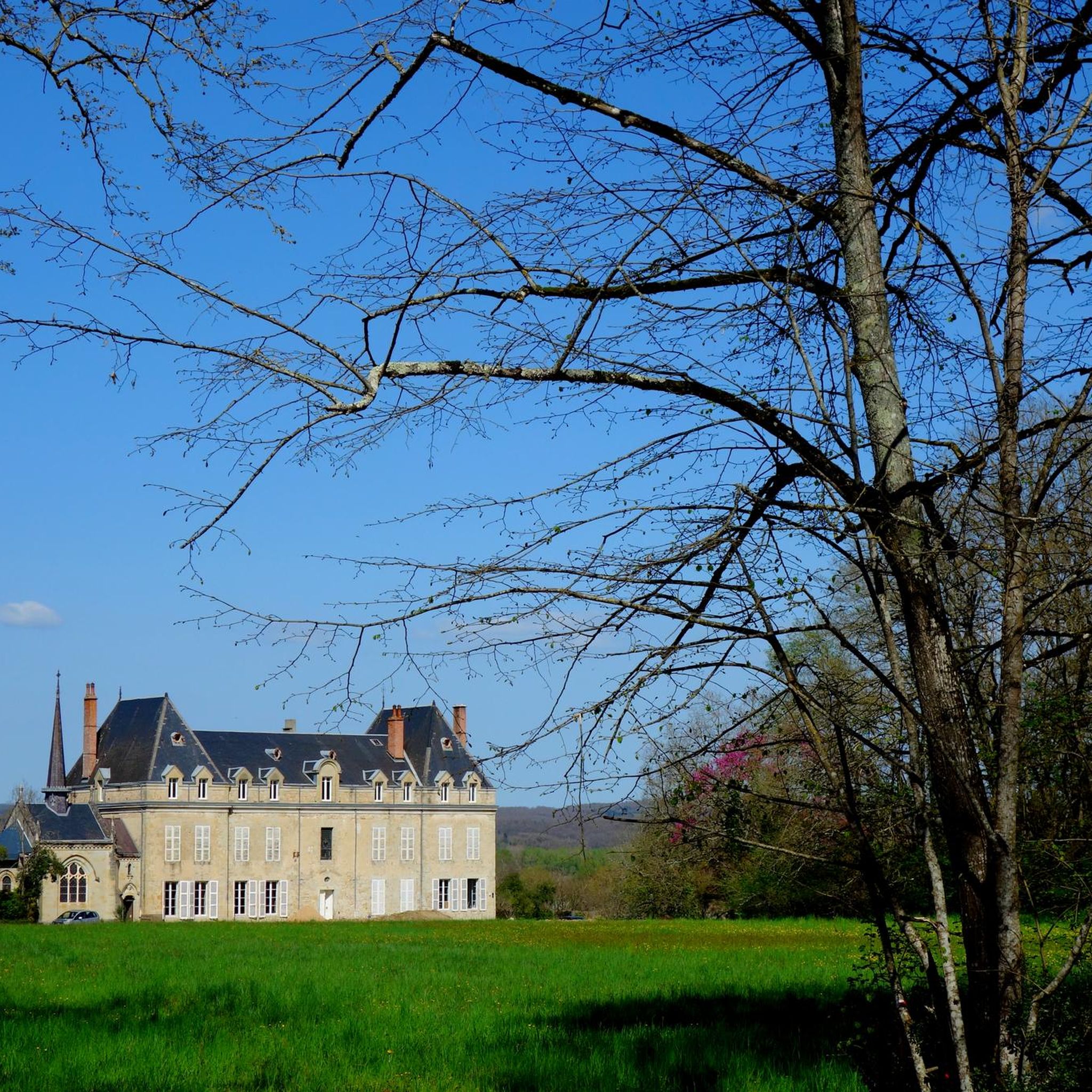
The Château de Magrin, listed as a Historic Monument, houses the very first Pastel Museum in France. Museum on four levels open all year round.
1
0


A nice viewpoint with a beautiful view of the village and the surroundings, with a pretty adjoining botanical garden, ideal for a break (without forgetting the excellent Marti bakery or PLUM cafe below)
0
0
Frequently Asked Questions
What kind of landscapes can I expect to see while hiking around Damiatte?
Hiking around Damiatte offers a diverse landscape characterized by rolling hills, often described as having a "Tuscan air." You'll find trails ascending from the Agout valley to higher plateaus, providing superb viewpoints of the distant Montagne Noire and the Pyrenees. The area features rich flora, wooded sections, and traditional agricultural landscapes, making for picturesque scenery.
Are there any easy hiking trails suitable for beginners or a relaxed walk?
Yes, Damiatte offers several easy trails. For instance, the Hiking loop from Bertre is an easy 3.5-mile (5.6 km) trail that takes about 1 hour 30 minutes to complete. Another option is the Boulangerie Marti loop from Lautrec, an easy 4.6-mile (7.5 km) route with moderate elevation.
What are some of the more challenging or longer routes for experienced hikers?
For those seeking a more challenging experience, the Hiking loop from Vielmur-sur-Agoût is a moderate 9.3-mile (15.0 km) path with an elevation gain of over 900 feet (285 meters). Another moderate option is the Puylaurens loop from Métairie Basse, which covers 7.2 miles (11.6 km) with significant elevation changes.
Are there any circular hiking routes available in the Damiatte area?
Yes, many of the trails around Damiatte are designed as loops. For example, the Lake tours loop from Graulhet is an easy 1.7-mile (2.7 km) circular route exploring the local lake area. The Hiking loop from Vielmur-sur-Agoût and the Hiking loop from Bertre are also popular circular options.
What are the best times of year to go hiking in Damiatte?
The Damiatte region, with its mild southern French climate, is generally pleasant for hiking from spring through autumn. Spring offers lush greenery and blooming flora, while autumn provides comfortable temperatures and beautiful fall colors. Summer can be warm, so early morning or late afternoon hikes are recommended during this season.
Are there any family-friendly hiking options or places for a picnic?
Yes, the area around Damiatte offers family-friendly spots. The Saint-Charles ponds in Damiatte, which are part of "Le circuit des plateaux," provide picnic areas and a "health trail" for active visitors. Easy, shorter loops like the Lake tours loop from Graulhet are also suitable for families.
What interesting landmarks or attractions can I see near the hiking trails?
Beyond the trails, you can explore several nearby attractions. The medieval town of Lautrec, known for its mill and narrow streets, is a cultural highlight. You can also visit the Path of Human Rights, a greenway between Lautrec and Castres, or enjoy the View of Lautrec. The Episcopal City of Albi is also within reach for a historical excursion.
What do other hikers say about the trails around Damiatte?
The hiking trails around Damiatte are highly regarded by the komoot community, holding an average rating of 4.6 stars from over 60 reviews. Hikers often praise the varied terrain, the picturesque views of the Montagne Noire and Pyrenees, and the well-maintained paths that traverse the Agout valley and surrounding plateaus.
Is there public transport or parking available near the trailheads in Damiatte?
While specific public transport details for individual trailheads are limited, Damiatte is a commune in the Tarn department, and local bus services connect it to larger towns. For most hiking routes, parking is generally available near starting points in villages or designated areas. It's advisable to check local information for specific trailhead parking.
Are there any places to eat or stay near the hiking areas in Damiatte?
Damiatte and its surrounding villages offer local amenities. While Damiatte itself is a smaller commune, nearby towns like Lautrec provide options for cafes, restaurants, and accommodation. Exploring these charming towns can complement your hiking experience with local cuisine and hospitality.
What are the typical terrain characteristics of the hiking trails in Damiatte?
The terrain around Damiatte is quite varied. You'll encounter paths that follow the Agout valley, ascend through wooded areas, and cross higher plateaus. The local soil, composed of limestone and clay, contributes to a distinctive landscape. Expect a mix of gentle slopes and more significant ascents, offering a diverse walking experience.
Most popular attractions around Damiatte

Get inspired with the komoot mobile app


Explore more
Browse the best Hikes in other regions.
