The best walks and hikes around Marsac
4.5
(110)
728
hikers
28
hikes
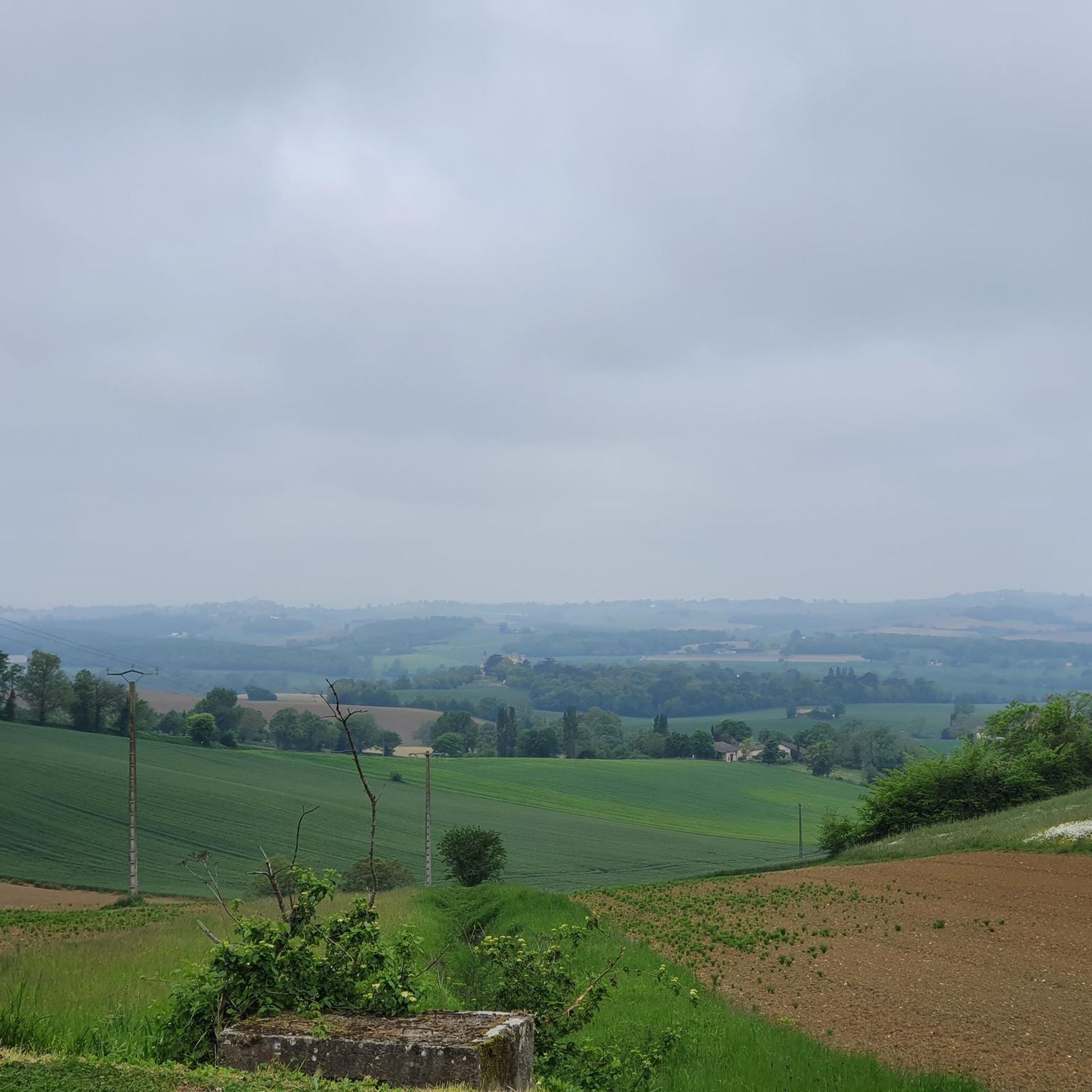
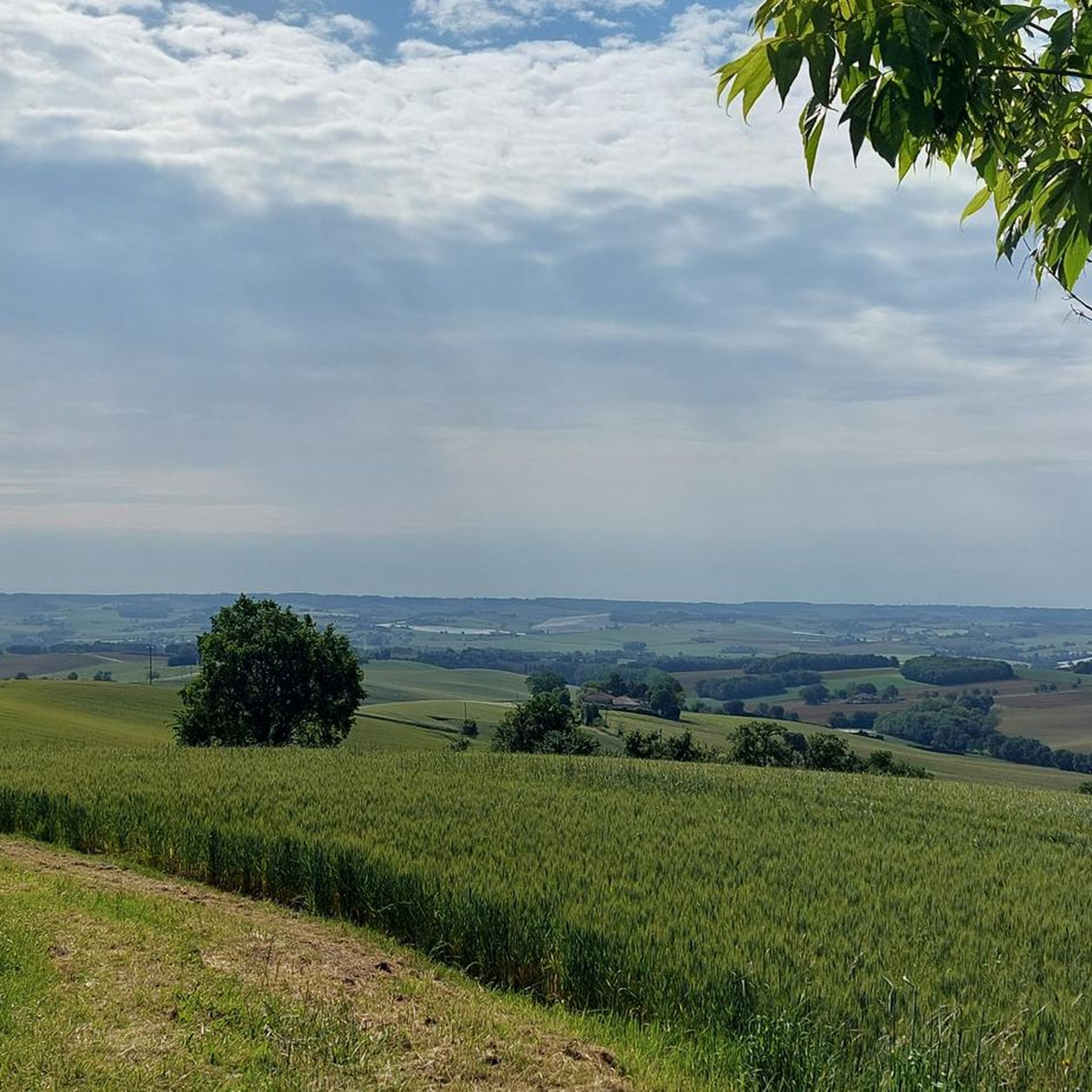
Hiking around Marsac offers routes through a landscape characterized by rolling hills, agricultural fields, and historical sites. The region features a mix of open countryside and woodlands, providing varied terrain for exploration. Trails often connect charming villages, ancient churches, and châteaux, reflecting the area's rich heritage. This environment provides opportunities for hikers to experience the rural character of the Gers department.
Best hiking trails around Marsac
- The most popular hiking route is Gachepouy Castle – Saint Blandine Church loop from…
Last updated: June 29, 2026
4.5
(31)
204
hikers
27.5km
07:32
430m
430m
Hard hike. Very good fitness required. Easily-accessible paths. Suitable for all skill levels.
5.0
(1)
9
hikers
15.1km
04:09
250m
250m
Moderate hike. Good fitness required. Easily-accessible paths. Suitable for all skill levels.

Sign up for free
4.0
(2)
21
hikers
21.7km
06:07
460m
460m
Hard hike. Very good fitness required. Easily-accessible paths. Suitable for all skill levels.
12
hikers
18.2km
05:05
370m
370m
Hard hike. Very good fitness required. Easily-accessible paths. Suitable for all skill levels.
4
hikers
8.47km
02:24
190m
190m
Moderate hike. Good fitness required. Easily-accessible paths. Suitable for all skill levels.
Get access to more routes and recommendations from other explorers.
Sign up for free
Already have an account?
Our route recommendations are based on thousands of hikes, rides, and runs completed by other people on komoot.
Start today with a free account
Your next adventure awaits.
Login or Signup

Tips from the Community

Very beautiful, richly decorated church from the 14th/15th century. There is a pilgrim stamp in front of the entrance gate!
1
0

Coming from Mossiac, the town of Saint-Antoine is the 18th stage of the Camino de Santiago (Chemin de Saint-Jaques) if you follow the VIA PODIENSIS (from Le Puy-en-Velay to the Pyrenees).
2
1
On the Via Podiensis, pilgrims pass through many towns and can visit many churches. On the 19th stage (counting according to "Rother"), which leads from Saint-Antoine to Lectoure, this church is passed.
1
1

Saint-Antoine is a commune in the Gers department of France and has 174 inhabitants. The place is part of the district of Condom.
3
0
The small village of Flamarens is located in the department of Gers, in the Midi-Pyrénées region. The inhabitants are called the Flamalingois and the Flamalingoises. Surrounded by the municipalities of Miradoux, Saint-Antoine and Peyrecave, Flamarens is located 25 km southeast of Agen. The Métau and Montret streams on the one hand, tributaries of the Auroue and the Pourchet, Mouron and Teulère streams, tributaries of the Arratz on the other, are the main rivers that cross the city.
4
0
The surface of Flamarens is 14.5 km², so the population density is 8.2 inhabitants per km².
3
0
Flamarens is a commune in the French department Gers (region Occitanie) and has 119 inhabitants (2009). The place is part of the district of Condom
3
0
The church has been classified as an object of historical monuments since 1978
3
0
Frequently Asked Questions
How many hiking trails are available around Marsac?
Marsac offers a diverse selection of over 30 hiking routes. These trails cater to various skill levels, ranging from easy walks to more challenging long-distance routes, allowing you to explore the region's unique blend of rural landscapes and historical sites.
Are there easy hiking trails suitable for beginners in Marsac?
Yes, Marsac has several easy hiking trails perfect for beginners or those looking for a relaxed stroll. The region features 6 easy routes, providing gentle paths through rolling hills and agricultural fields, ideal for enjoying the countryside without significant elevation changes.
What kind of landscapes can I expect to see while hiking in Marsac?
Hiking around Marsac offers routes through a landscape characterized by rolling hills, agricultural fields, and historical sites. You'll find a mix of open countryside and woodlands, with trails often connecting charming villages, ancient churches, and châteaux, reflecting the area's rich heritage in the Gers department.
Are there any challenging hikes for experienced trekkers in Marsac?
For experienced trekkers, Marsac provides 8 difficult routes that offer a more strenuous experience. One such challenging option is the Gachepouy Castle – Saint Blandine Church loop from Castet-Arrouy, a 16.9-mile trail that explores historical landmarks and varied rural scenery over several hours.
Can I find circular hiking routes in Marsac?
Yes, many of the hiking routes in Marsac are designed as circular walks, allowing you to start and end at the same point. Examples include the Château d'Avezan loop from Gaudonville and the Saint-Saturnin Church – Landscapes of the Gers loop from Miradoux, which are popular choices among local hikers.
What are some historical landmarks or attractions I can visit along the trails in Marsac?
Marsac's trails often lead past significant historical landmarks. You can explore sites like the Saint-Saturnin Church, the Saint-Antoine Chapel of Saint-Antoine, and the Flamarens Castle. These attractions provide insights into the region's rich heritage and are often integrated into the hiking routes.
Are the hiking trails in Marsac suitable for families with children?
Marsac offers several moderate and easy trails that can be suitable for families, depending on the children's age and experience. The region's rolling hills and historical sites provide engaging scenery. For specific family-friendly options, consider shorter, less strenuous routes that focus on exploring villages or gentle countryside paths.
Is Marsac a good destination for dog-friendly hiking?
While specific dog-friendly regulations can vary, the rural and open nature of Marsac's trails, with its agricultural fields and woodlands, generally makes it a welcoming area for hiking with dogs. Always ensure your dog is on a leash and that you clean up after them, especially when passing through agricultural areas or near villages.
What is the typical duration or distance of hikes around Marsac?
Hikes around Marsac vary significantly in duration and distance. You can find shorter walks, such as the 8.5-mile Saint-Saturnin Church – Landscapes of the Gers loop from Flamarens, which takes a few hours. Longer, more challenging routes like the 16.9-mile Gachepouy Castle – Saint Blandine Church loop from Castet-Arrouy can take over 7 hours to complete.
When is the best time of year to go hiking in Marsac?
The best time to go hiking in Marsac is typically during spring and autumn. These seasons offer pleasant temperatures, vibrant natural colors, and comfortable conditions for exploring the rolling hills and open countryside. Summers can be warm, while winters might bring cooler, potentially wetter weather, though hiking is possible year-round.
Are there opportunities for winter hiking in Marsac?
While Marsac is not specifically known for dedicated winter hiking infrastructure, the trails remain accessible during the colder months. The region's generally mild winters mean that many paths through the agricultural fields and woodlands can still be enjoyed, though conditions may be muddy or chilly. Always check local weather forecasts and trail conditions before heading out.
What do other hikers say about the trails in Marsac?
The hiking routes in Marsac are highly rated by the komoot community, with an average score of 4.6 stars from over 100 reviews. Hikers often praise the varied terrain, the charm of the historical sites, and the peaceful rural character of the Gers department, making it a rewarding destination for outdoor exploration.
Most popular attractions around Marsac

Get inspired with the komoot mobile app


Explore more
Browse the best Hikes in other regions.
