The best mountain hikes around Lana
5.0
(1)
18
hikers
2
hikes
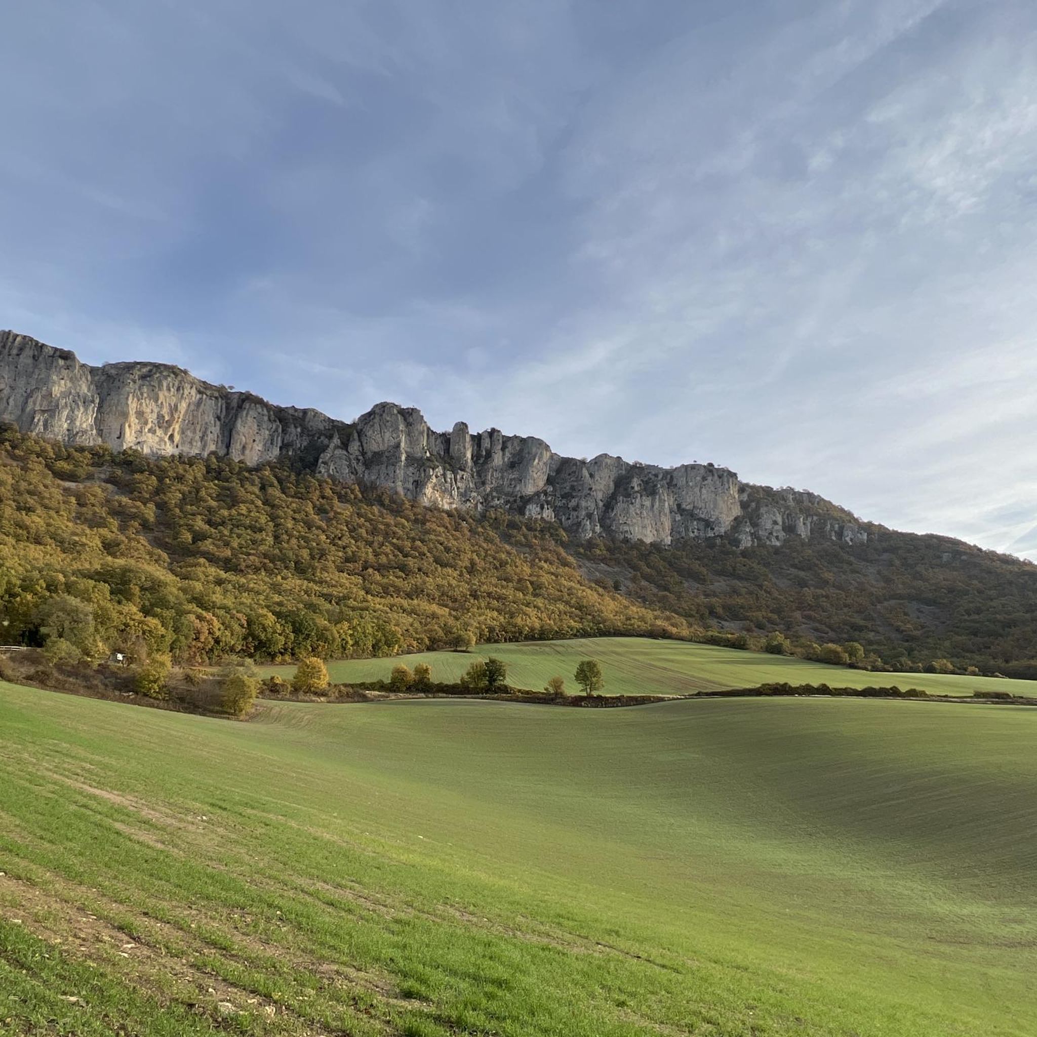
Mountaineering routes around Lana are set within a landscape characterized by varied terrain, including hills and valleys. The region offers a mix of moderate and difficult paths, with notable elevation gains. This area provides opportunities for exploring natural features and experiencing challenging ascents.
Best mountaineering routes around Lana
- The most popular mountaineering route is Peña de los Cencerros – Ioar loop from Torralba del Río, a 4.1 miles (6.6 km) moderate trail that takes 3 hours 32 minutes to…
Last updated: May 17, 2026
10
hikers
6.58km
03:33
600m
600m
Moderate mountaineering route. Good fitness required. Mostly accessible paths. Sure-footedness required.
4
hikers
12.8km
04:18
610m
610m
Moderate mountaineering route. Good fitness required. Easily-accessible paths. Suitable for all skill levels.

Sign up for free
3
hikers
8.07km
04:11
710m
710m
Hard mountaineering route. Good fitness required. Sure-footedness, sturdy shoes and alpine experience required.
5.0
(1)
1
hikers
8.75km
02:42
290m
290m
Moderate mountaineering route. Good fitness required. Easily-accessible paths. Suitable for all skill levels.
Our route recommendations are based on thousands of hikes, rides, and runs completed by other people on komoot.
Start today with a free account
Your next adventure awaits.
Login or Signup

Tips from the Community

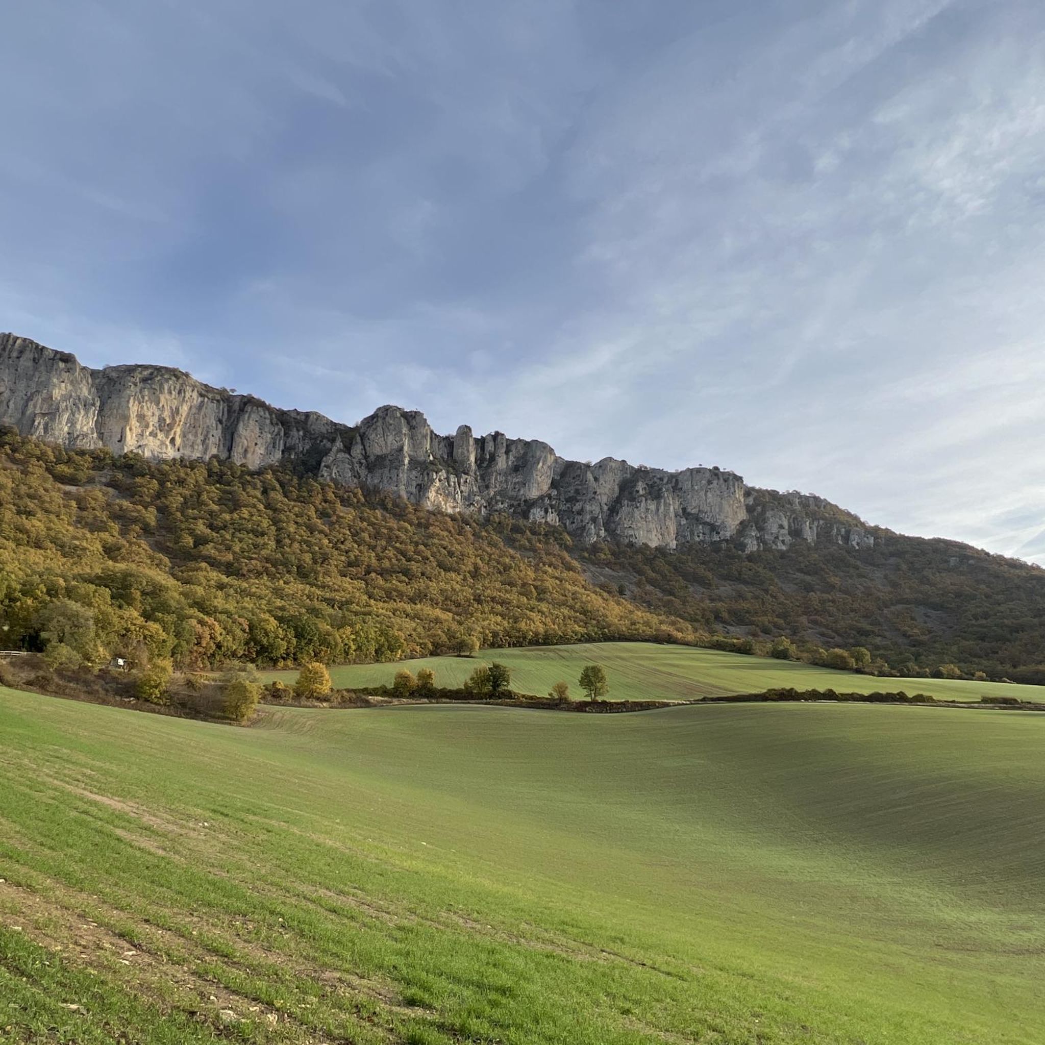
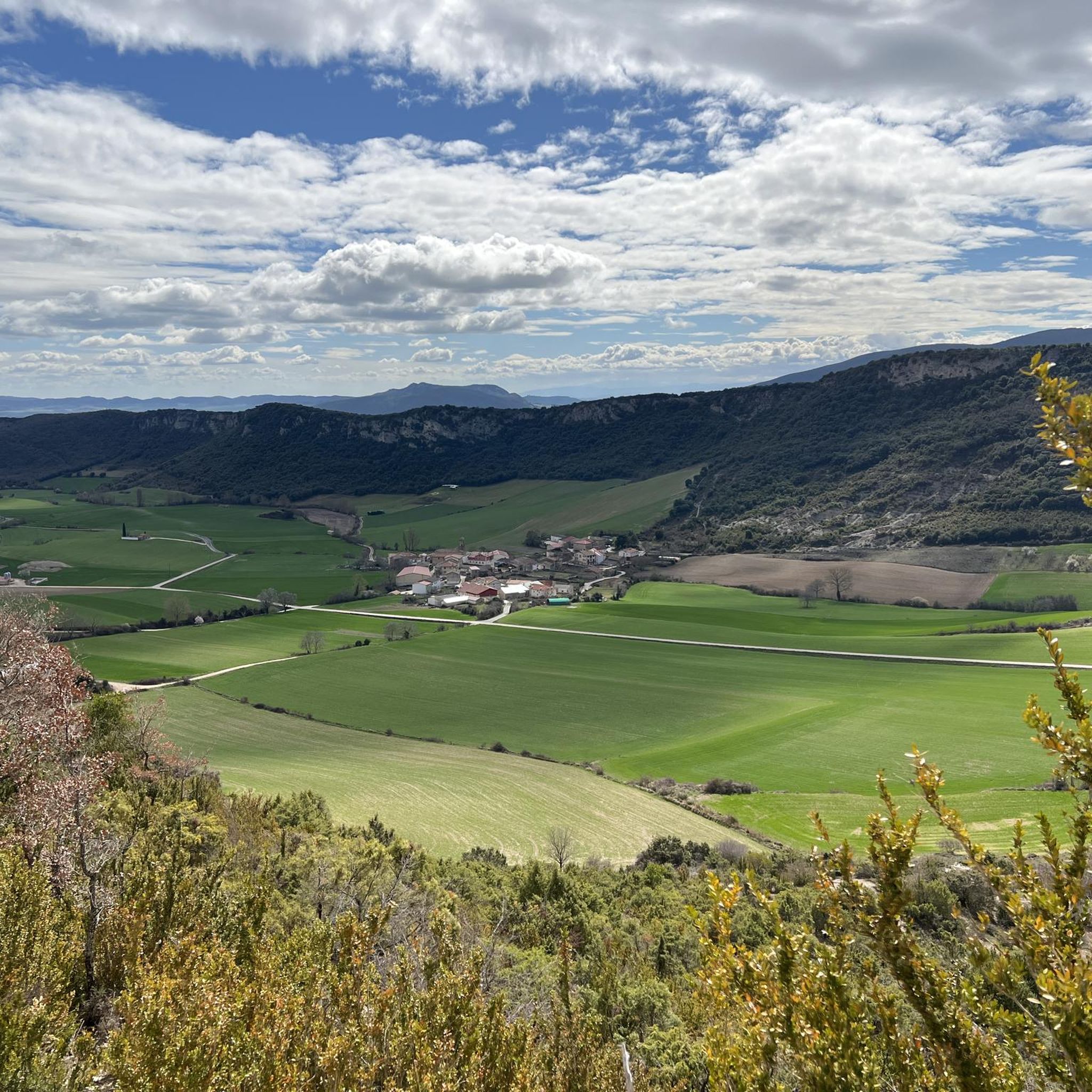
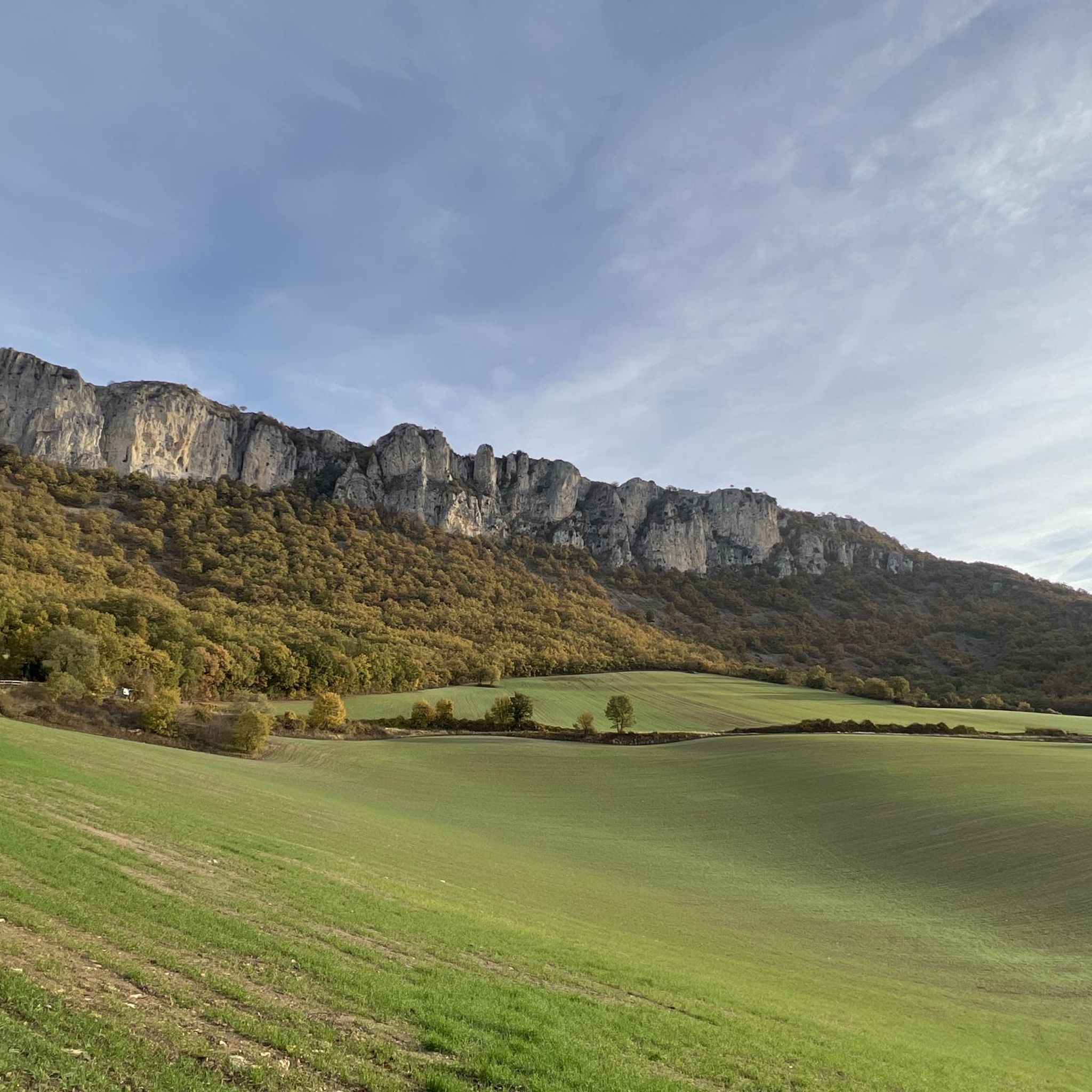
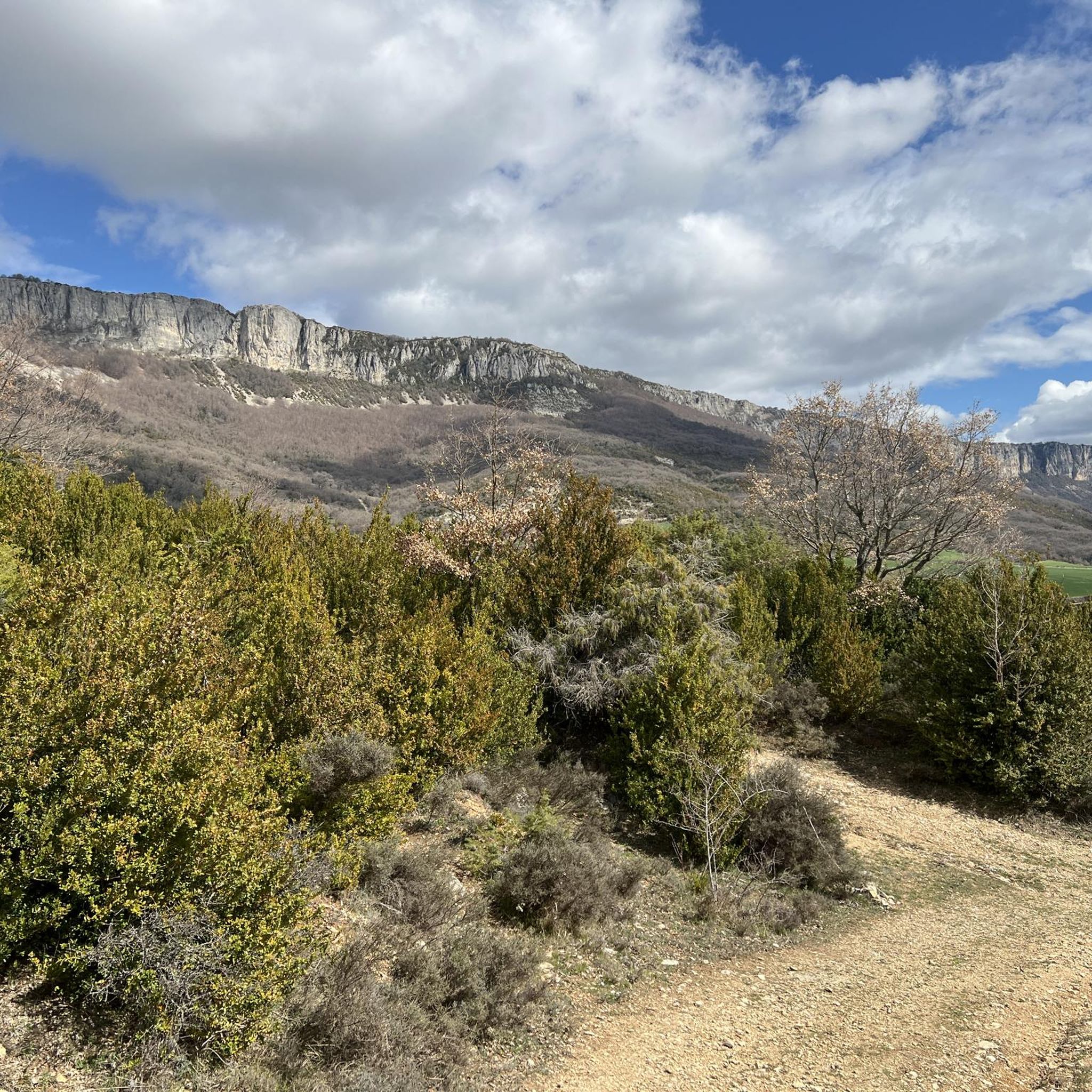
The Sanctuary of the Virgin of Codés is located at the foot of the mountain range. It is a splendid 16th-century building built on the remains of a hermitage. The Baroque tower dates from the 18th century. The holy water fountain is next to the arcades, and there is also a guesthouse and gardens for relaxing and passing the time. The route climbs to the left of the building to a parking lot where signs and signs display the hiking trails. The path continues along the GR-1 long-distance trail, the Historical Trail, to Santa Cruz de Campezo, on the Álava side of the mountain range. The path is quite steep through a tunnel of oak trees, some of which are centuries old and stand out in a disturbing way against the dense forest.
1
0

Shelter in a magnificent location. It's not in bad condition, but it needs some improvements to make it an excellent shelter.
0
0

Shelter with firewood and several other services.
0
0

One of the emblematic peaks of the area, a joy of views.
0
0

Simply amazing postcards from the top of Joar at more than 1400 meters above sea level. To get here you can take alternative paths of greater or lesser degree of difficulty depending on your preference, in any case the route is very picturesque.
3
0

The 16th century sanctuary and guesthouse complex are located on top of a hillside facing the Ebro valley in the border area between Navarra (to which it belongs), Álava and La Rioja. From the outside, the view of the ridges towards the Ebro valley recalls the privileged sites for spiritual life where sanctuaries and monasteries were built.
1
0

This fresh water point is a treasure on days when the heat is stifling.
0
0

Mountain refuge very well taken care of... and may it continue like this for a long time, for the good of all. A good place to shelter, in a mountain with very harsh winter days.
2
0
Frequently Asked Questions
How many mountaineering routes are available around Lana?
There are several mountaineering routes around Lana, with komoot featuring 2 distinct tours. These routes offer varied terrain and challenges for mountaineers.
What is the general difficulty level of mountaineering routes in Lana?
The mountaineering routes in Lana primarily range from moderate to difficult. For example, the Peña de los Cencerros – Ioar loop from Torralba del Río is a moderate route, while the La Plana – Ioar loop from Torralba del Río is considered difficult, offering significant challenges and elevation.
What kind of terrain can I expect on mountaineering routes near Lana?
Mountaineering in Lana, situated within the Dolomites, offers a diverse landscape. You'll encounter dramatic spires, rocky massifs, and deep crevasses characteristic of the UNESCO World Heritage site. Col di Lana itself has a unique volcanic origin, featuring dark basalt and grassy slopes, providing a visually distinctive experience compared to the pale dolomite peaks.
Are there any historical sites or landmarks to see along the routes?
Yes, the area around Col di Lana is rich in history, particularly from World War I. Known as "Col di Sangue" (Blood Mountain), you can explore trenches, tunnels, and memorials, including a chapel and summit bivouac. The enormous crater from a 1916 mine detonation is still visible. Additionally, you might encounter natural landmarks like the Opakua Pass or the Portillo de Piedramillera viewpoint.
Can I find routes with waterfalls or scenic gorges?
Yes, the region offers stunning natural features. You can explore areas like the Igoroin Gorge Waterfalls or the dramatic Las Calderas gorge, providing picturesque scenery along your mountaineering journey.
What kind of panoramic views can I expect from the mountaineering routes?
From Col di Lana's summit and other high points, you can experience extensive panoramic views of the surrounding Dolomites. These include iconic peaks like Monte Agner, Civetta, and Sassolungo. The unique pale rock of the Dolomites also creates a mesmerizing light display during sunrise and sunset, known as 'enrosadira,' when the peaks turn pink.
Are there any circular mountaineering routes in the area?
Yes, several routes are designed as loops, allowing you to start and end at the same point. Examples include the moderate Peña de los Cencerros – Ioar loop from Torralba del Río and the longer Balsa de Okomendia – Otzamendi loop from 39. fazeria.
Is it possible to do multi-day treks and stay overnight?
Yes, the wider Dolomite region, including areas accessible from Lana, is well-equipped for multi-day treks. There are over 100 mountain huts (rifugios) available, offering comfortable overnight stays and making longer mountaineering adventures feasible.
What is the best time of year for mountaineering in Lana?
The summer months generally offer the most favorable conditions for mountaineering in Lana and the Dolomites, with warmer weather and accessible trails. However, the unique 'enrosadira' phenomenon, where peaks turn pink, is particularly striking during sunrise and sunset in spring and autumn.
Are the mountaineering routes in Lana suitable for families?
While many mountaineering routes in the Dolomites require significant fitness and alpine experience, there are also easier paths. For family-friendly options, it's best to look for routes explicitly rated as easy or moderate, and always check the specific route details for elevation gain and terrain to ensure it matches your family's experience level.
What are the typical elevation gains on mountaineering routes in Lana?
Mountaineering routes around Lana feature notable elevation gains. For instance, the Peña de los Cencerros – Ioar loop from Torralba del Río involves an ascent of approximately 598 meters, while the La Plana – Ioar loop from Torralba del Río has an elevation gain of around 715 meters.
What do other mountaineers enjoy the most about mountaineering in Lana?
The mountaineering routes in Lana are highly rated by the komoot community, with an average score of 5.0 stars. Reviewers often praise the varied terrain, challenging ascents, and the opportunity to explore the unique natural features of the region.
Most popular attractions around Lana

Get inspired with the komoot mobile app


Explore more
Browse the best Mountain Hikes & Routes in other regions.
