The best running trails around Cantavieja
78
runners
28
runs
Jogging routes around Cantavieja traverse a rugged landscape situated at an altitude of 1300m in the Alto Maestrazgo region of Teruel, Spain. The area is characterized by high, cool pastures and extensive pine and holm oak forests, offering diverse terrain for running. Joggers can explore the Maestrazgo area, including the gentle slopes of the Sellumbres ravine and picturesque routes along the Cantavieja River. Dry stone constructions also add a historical element to the natural surroundings.
Best jogging routes around Cantavieja
…Last updated: June 29, 2026
17
runners
23.4km
03:31
1,180m
1,180m
Hard run. Very good fitness required. Mostly paved surfaces. Suitable for all skill levels.
8
runners
11.3km
01:30
420m
420m
Hard run. Very good fitness required. Mostly paved surfaces. Suitable for all skill levels.

Sign up for free
4
runners
Moderate run. Good fitness required. Mostly paved surfaces. Suitable for all skill levels.
4
runners
8.49km
01:04
250m
250m
Moderate run. Good fitness required. Mostly paved surfaces. Suitable for all skill levels.
5
runners
22.2km
02:53
750m
740m
Hard run. Very good fitness required. Mostly paved surfaces. Suitable for all skill levels.
Get access to more routes and recommendations from other explorers.
Sign up for free
Already have an account?
Our route recommendations are based on thousands of hikes, rides, and runs completed by other people on komoot.
Start today with a free account
Your next adventure awaits.
Login or Signup
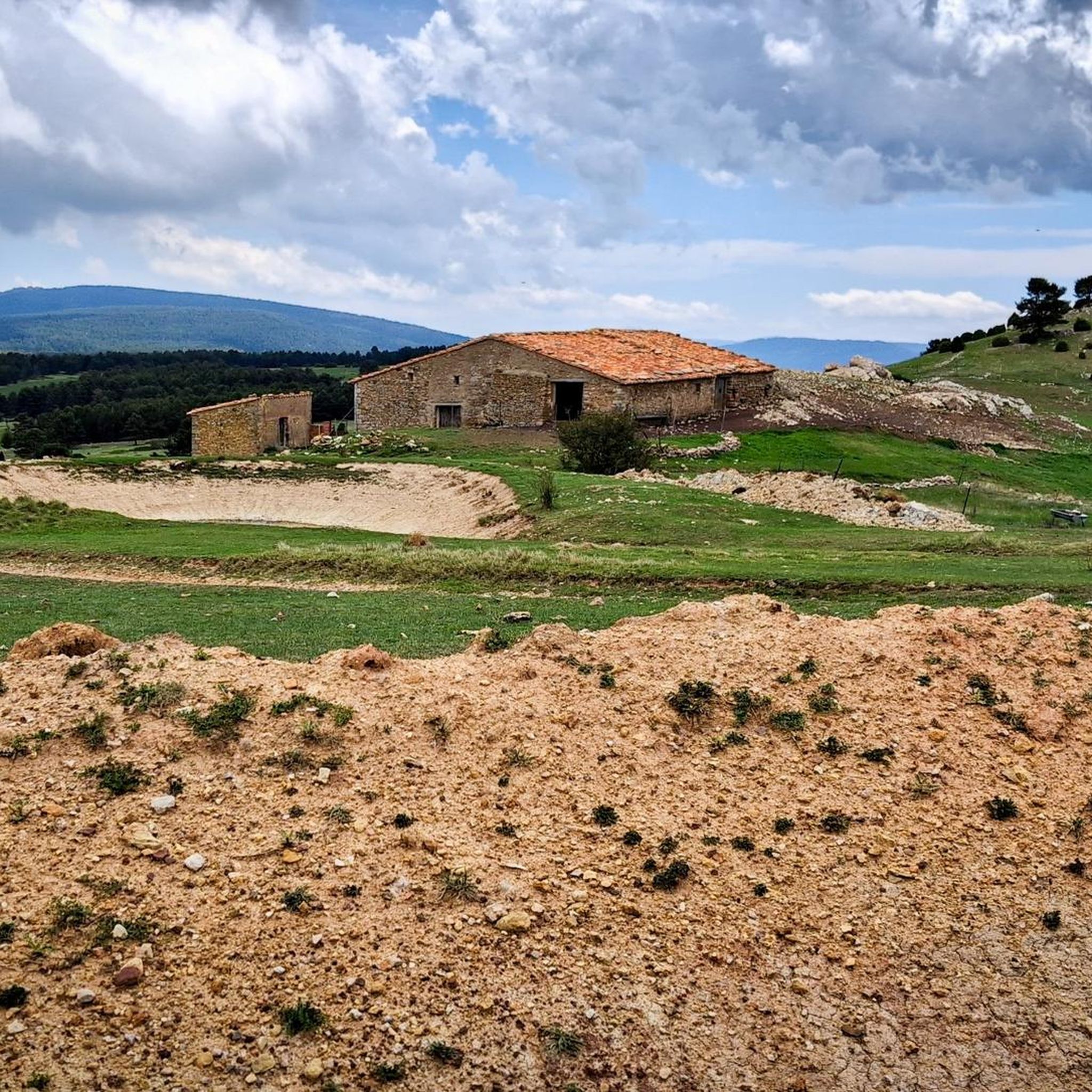
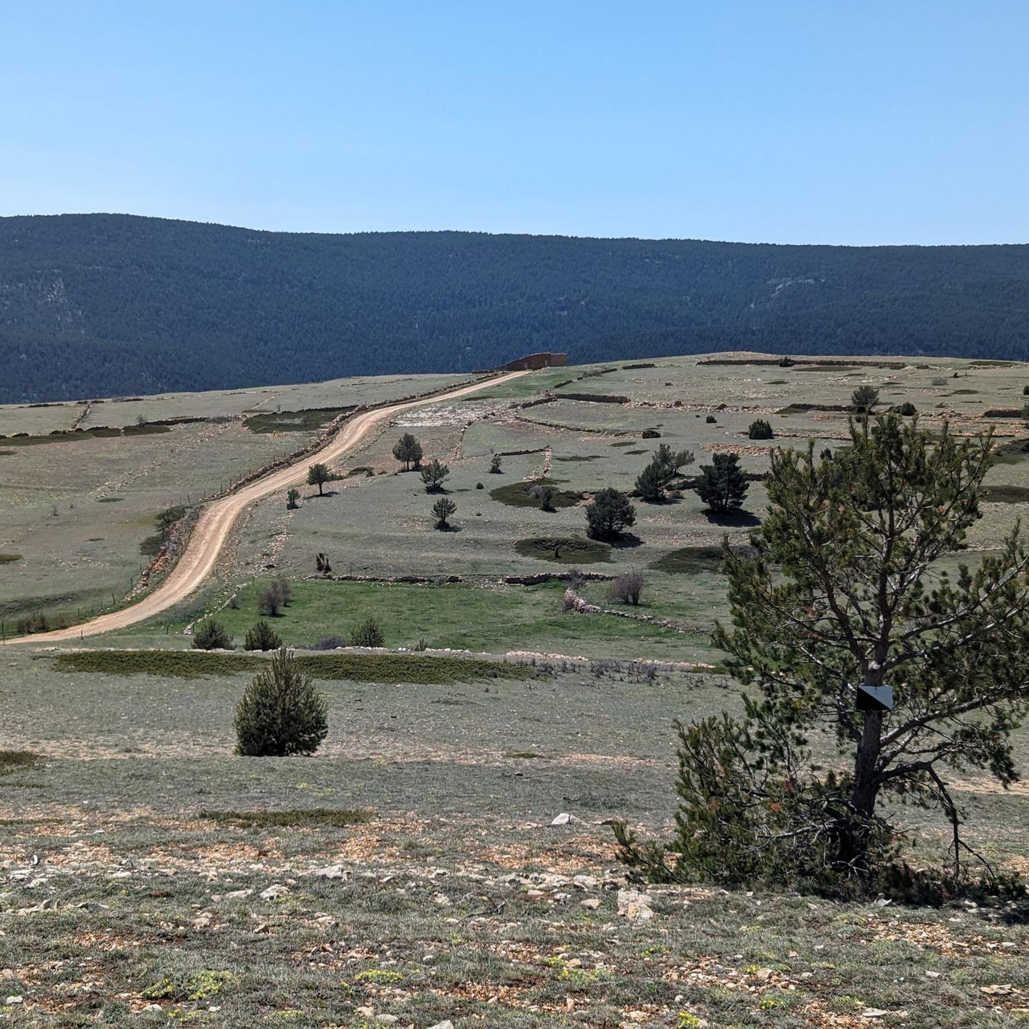
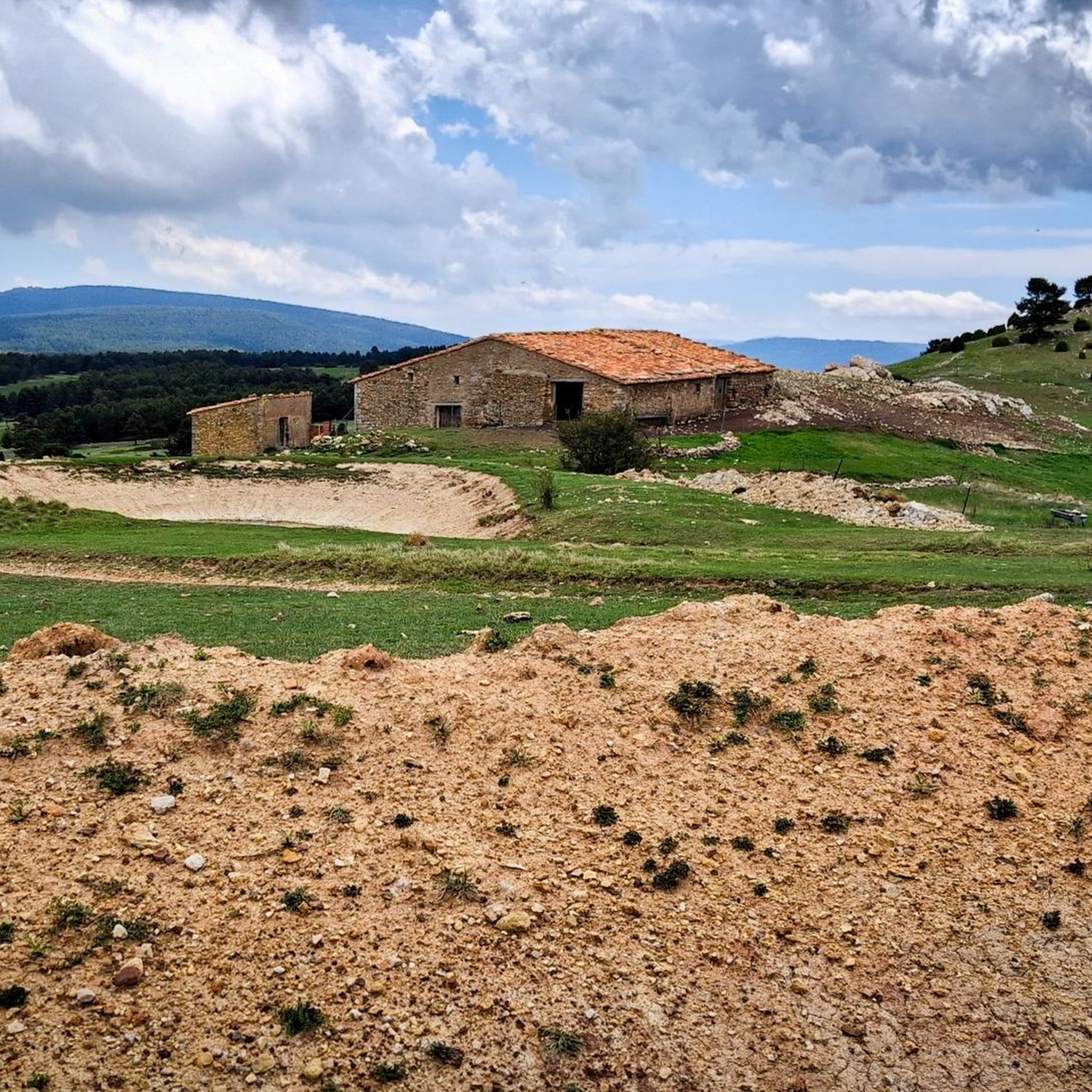
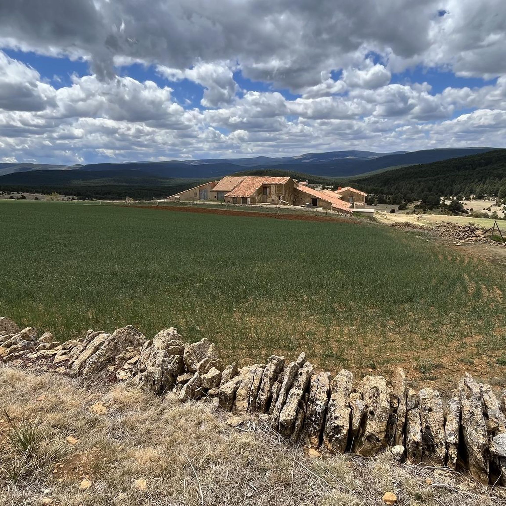
Tips from the Community

Cinctorres, in the Els Ports de Morella region, is a small town surrounded by mountains and ravines, notable for the Roca Roja and Roca Parda natural viewpoints from which vultures are easily spotted. Its town center preserves squares and manor houses, as well as the Church of San Pedro Apóstol and several chapels. The route to the Sellumbres ravine offers an ideal setting for cycling through pine and holm oak forests, with gentle slopes and quiet country roads. It's advisable to bring binoculars to enjoy the birds of prey in flight, and make time to visit the local museum, which displays fossils and artifacts from traditional life.
2
0
La Iglesuela del Cid is a town brimming with character, located in the heart of the Maestrazgo region of Teruel at an altitude of over 1,200 meters. Its historic center preserves a distinct medieval atmosphere with remains of walls, gateways, and stately mansions such as the Matutano-Daudén Palace, now an inn. Also noteworthy are the Church of the Purificación and the Sanctuary of the Virgen del Cid, both linked to the tradition of El Campeador. Cycling through its cobbled streets and surrounding countryside allows you to discover the dry-stone architecture typical of the area, with old huts and walls that still mark the landscape.
1
0

La Iglesuela del Cid is one of the most beautiful villages in the Teruel region. Located in the Maestrazgo region, it is advisable to stop by the tourist office where they will explain everything we can see in the town and its surroundings that will surely surprise us. We can also book a guided tour at https://www.laiglesueladelcid.es/servicios/servicios-turisticos/oficina-municipal-de-turismo/
1
0

Undoubtedly one of the most colorful and picturesque towns in the interior of Teruel, La Iglesuela del Cid offers a lot to visit and several paths to explore the area. In the town you will have all the services and don't miss out on walking through its little streets with their typical stone buildings and a very particular charm.
2
0

Its population is crossed by two streams that divide it into two parts. The most important buildings are located in the old part of the town, and this town was walled in the past, in its medieval period.
0
0
Ruins of the old Hermitage of Sant Marc, a curious construction due to its simplicity and still standing today. It is located in a truly remote place and that gives it an additional charm, a very quiet place, ideal for making a stop on the route and contemplating the landscape and the silence.
1
0

I recommend eating at El Faixero, a hotel restaurant in the Bikefriendly network that for €12 the menu is terrific. They have a small bike shop.
1
2
Frequently Asked Questions
How many running routes are available around Cantavieja?
There are nearly 20 running routes available around Cantavieja on komoot. These trails traverse a rugged landscape at 1300m altitude, offering diverse terrain for runners.
What kind of difficulty levels can I expect for running trails in Cantavieja?
Cantavieja offers a range of running routes, from moderate paths to more challenging trails. You'll find 7 moderate routes and 12 difficult routes, catering to various fitness levels. The terrain often includes rugged landscapes and significant elevation changes.
Are there any circular running routes in the Cantavieja area?
Yes, many of the running routes in the Cantavieja area are circular, allowing you to start and finish in the same location. For example, the Cinctorres loop from Cinctorres is a popular circular option, as is the Running loop from La Iglesuela del Cid.
What are some scenic viewpoints or natural features I might encounter on a run?
The region is rich in natural beauty. You can expect to see extensive pine and holm oak forests, high, cool pastures, and rugged landscapes. The Sellumbres ravine offers gentle slopes, while the Roca Roja and Roca Parda natural viewpoints are known for spotting griffon vultures. The banks of the Cantavieja River also provide picturesque routes.
Are there any historical or cultural landmarks along the running paths?
Absolutely. Many routes blend natural beauty with historical sites. Cantavieja itself is a medieval town with ancient walls, an arcaded Plaza Mayor, the Church of the Assumption, and the Gothic church of San Miguel. You might also pass by manor houses like Casa Bayle or the ruins of the old castle. The dry stone constructions around areas like Villafranca del Cid also add a historical touch to the landscape. The nearby towns of Iglesuela del Cid and Mirambel also offer charming medieval backdrops.
Can I find shorter, easier running routes suitable for beginners or a quick jog?
While many routes are moderate to difficult, there are options for shorter, easier jogs. The Running loop from La Iglesuela del Cid is a moderate 8.6 km path that explores picturesque surroundings. The 'Paseo bajo las murallas' in Cantavieja offers a unique urban jogging experience beneath the town's walls, which is generally shorter and less strenuous.
What is the best time of year to go running in Cantavieja?
Cantavieja, situated at 1300m altitude, features high, cool pastures. This suggests that spring and autumn would offer pleasant temperatures for running. Summer mornings would also be suitable before the heat of the day, while winter runs might be possible but could require appropriate gear due to the altitude and potential for colder conditions.
Are there any running routes that pass through or near other villages?
Yes, several routes connect or pass near charming villages in the Maestrazgo region. For instance, the Cinctorres loop from Cinctorres starts and ends in the village of Cinctorres. Another popular option is the Running loop from La Iglesuela del Cid, which explores the area around La Iglesuela del Cid, known for its historic stone buildings.
What kind of terrain should I expect on the running trails?
The terrain around Cantavieja is generally rugged, characterized by limestone rock formations, extensive pine and holm oak forests, and high pastures. You'll encounter a mix of dirt paths, country roads, and potentially some asphalt sections, especially near villages. Some routes may involve significant elevation changes.
What do other runners enjoy most about jogging in Cantavieja?
Runners often praise the diverse terrain and the blend of natural beauty with historical charm. The opportunity to run through rugged landscapes, extensive forests, and past medieval town backdrops is frequently highlighted. The well-maintained trails and the variety of options for different ability levels also contribute to a positive experience.
Are there any specific long-distance trails that include sections suitable for running?
Yes, the Maestrazgo Trail (GR 8) crosses the entire Maestrazgo region and includes sections suitable for running. For example, a Cantavieja Loop of 16.4 km with 510m elevation gain is part of this network, offering a challenging experience through the region's diverse landscapes.
Are there any specific areas known for wildlife spotting while running?
The rugged landscapes and natural viewpoints like Roca Roja and Roca Parda are known for providing opportunities to spot griffon vultures. The natural environment also hosts mountain goats and badgers, particularly in the more secluded forest areas and ravines, offering a chance to observe local wildlife during your run.
Most popular attractions around Cantavieja

Get inspired with the komoot mobile app


Explore more
Browse the best Running Trails & Routes in other regions.
