The best gravel rides in Thomas F. Riley Wilderness Park
43
riders
11
rides
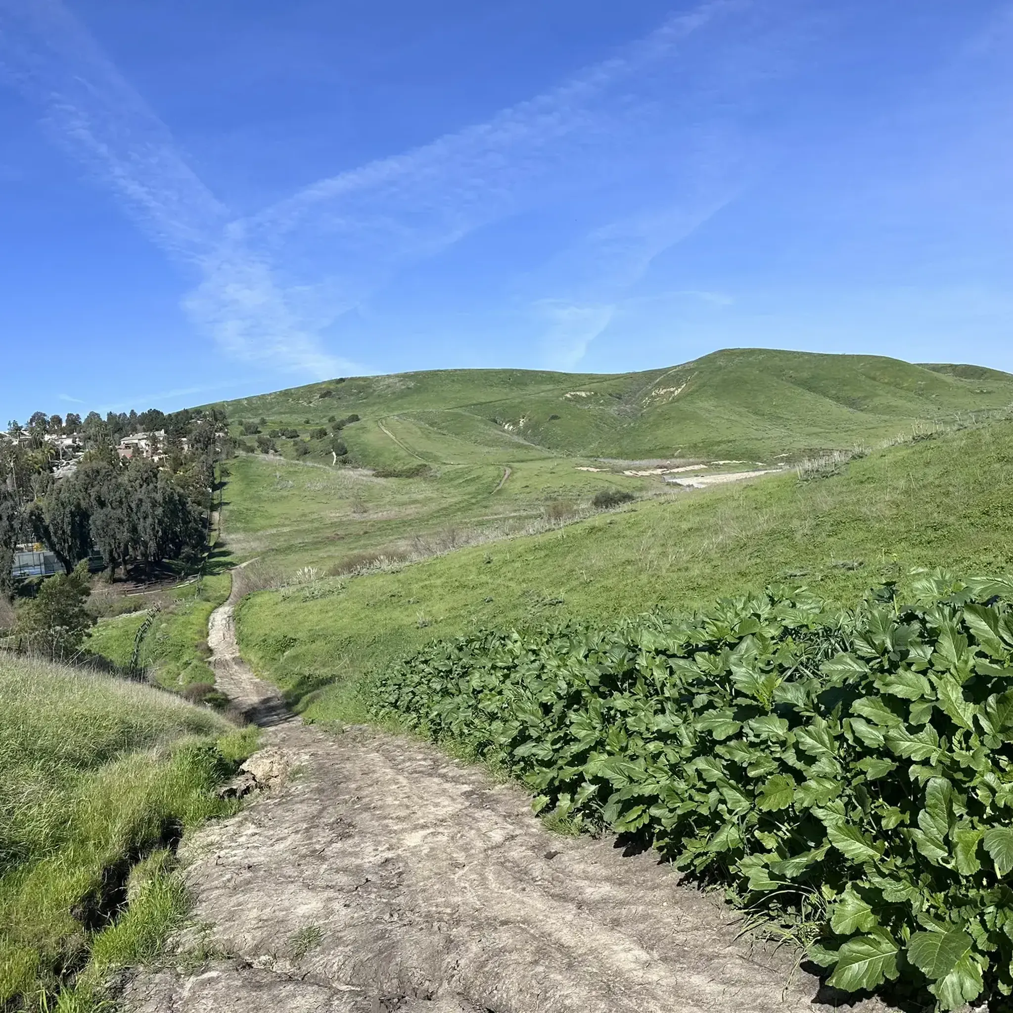
Gravel biking in Thomas F. Riley Wilderness Park traverses a 544-acre landscape characterized by rolling hills, canyons, and diverse natural features. The park offers a network of multi-use and single-track trails suitable for gravel biking. Terrain includes wide doubletracks through oak groves and grasslands, alongside more challenging routes with moderate to steep ascents. Seasonal creeks and groves of Coast Live Oaks are present throughout the park.
Best gravel bike trails in Thomas F. Riley Wilderness Park
- The most popular gravel…
Last updated: July 9, 2026
9
riders
69.9km
05:27
1,630m
1,630m
Hard gravel ride. Very good fitness required. Mostly paved surfaces. Suitable for all skill levels.
17
riders
The Waterworks Flow Trail – Trabuco Creek loop offers a diverse gravel biking experience, blending the fast, flowy singletrack of the Waterworks Trail with the scenic dirt and gravel paths…

Sign up for free
6
riders
Hard gravel ride. Very good fitness required. Mostly paved surfaces. Suitable for all skill levels.
5
riders
28.8km
01:57
460m
460m
Hard gravel ride. Very good fitness required. Mostly paved surfaces. Suitable for all skill levels.
6
riders
39.1km
02:47
550m
550m
Hard gravel ride. Very good fitness required. Mostly paved surfaces. Suitable for all skill levels.
Get access to more routes and recommendations from other explorers.
Sign up for free
Already have an account?
Our route recommendations are based on thousands of hikes, rides, and runs completed by other people on komoot.
Start today with a free account
Your next adventure awaits.
Login or Signup

Tips from the Community

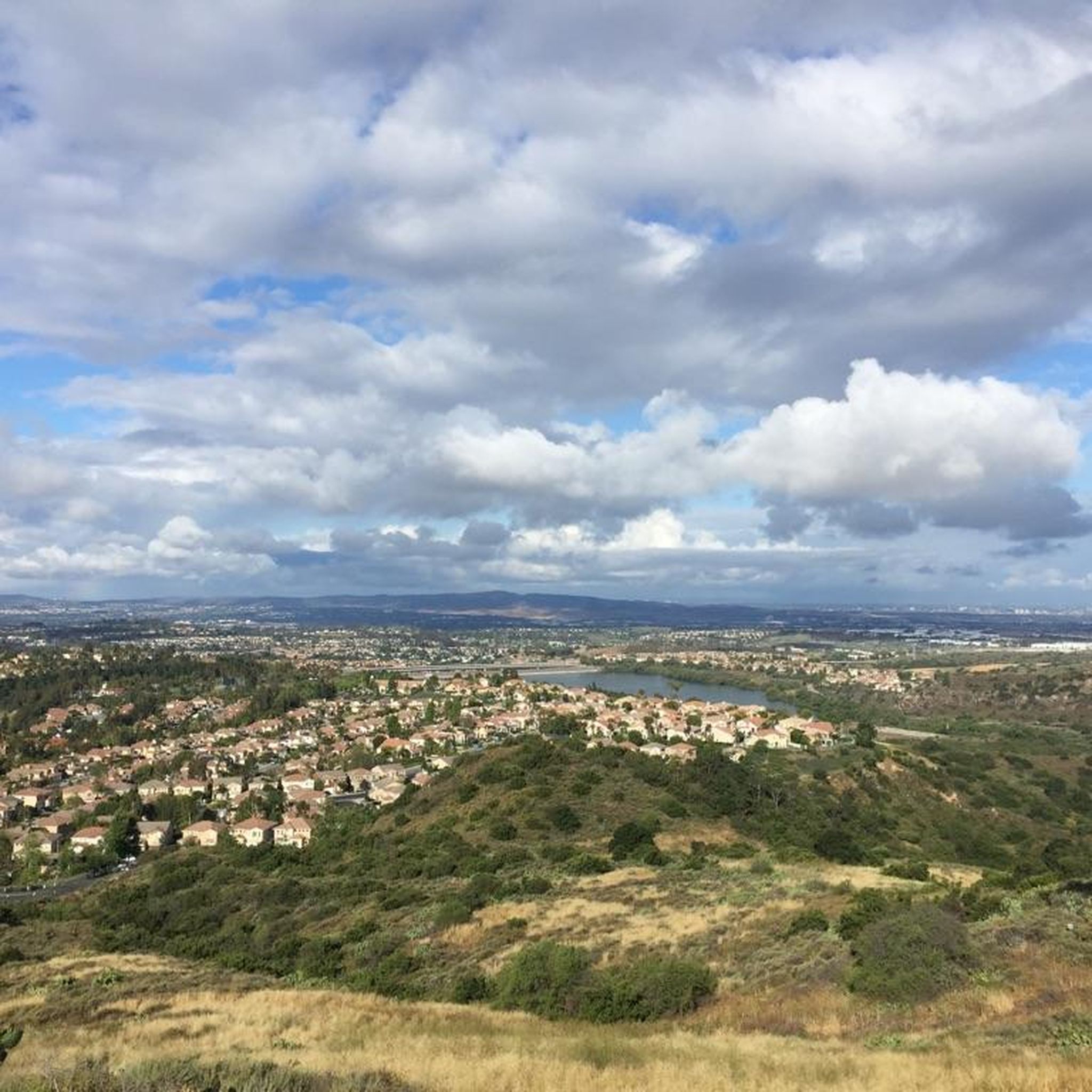
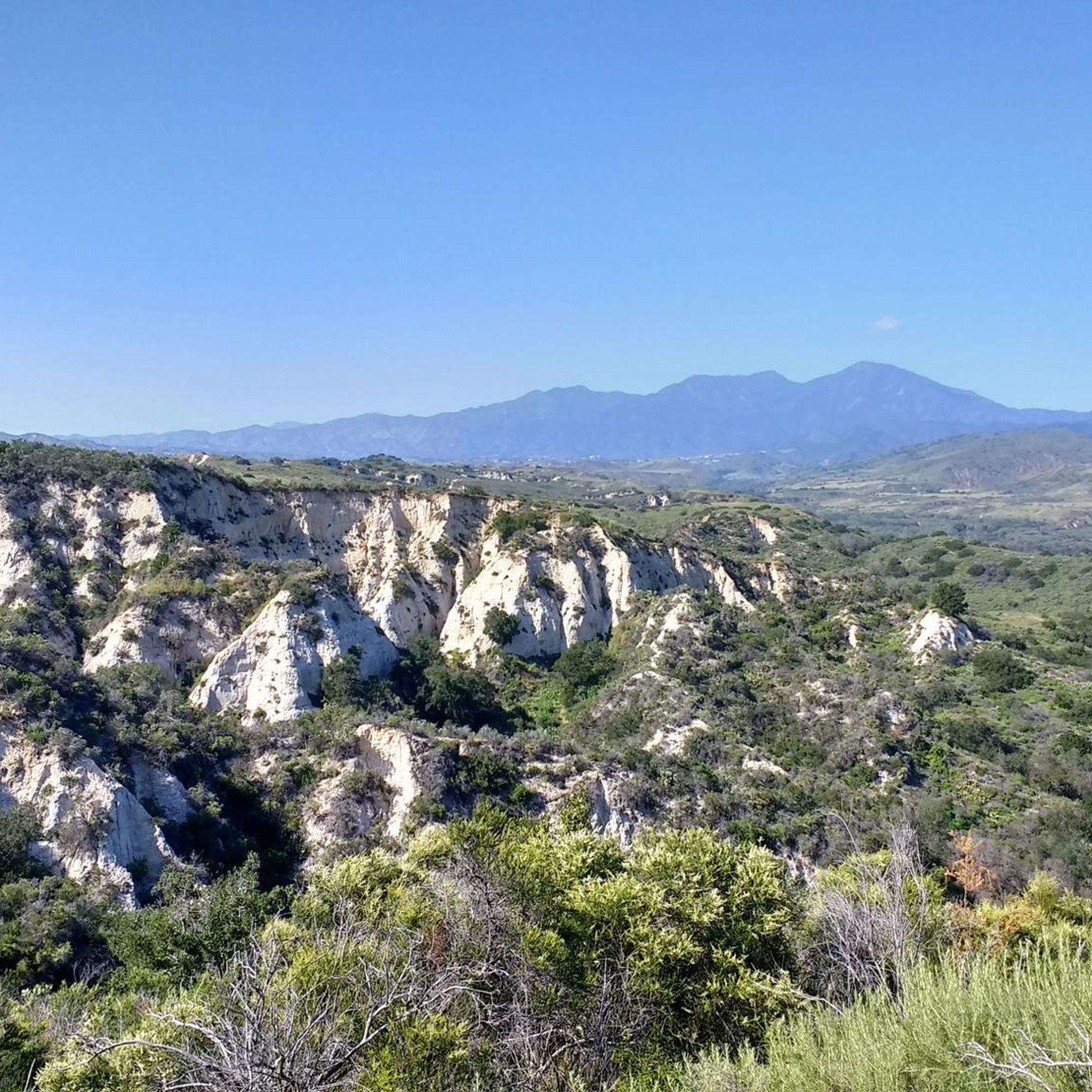
You can explore a variety of singletrack and wide gravel paths through the park. Some trails are shaded while others take you out above the canyon with vistas of Orange County. There are restrooms, picnic tables, and camping available. The park charges a $3 fee.
0
0

The Arroyo Trabuco Trail crosses the Trabuco Creek here (and a good number of times along the route). Depending on the season and conditions, you may well find that bombing through is not an option, so just be prepared for some wet feet.
0
0

The Mathis Canyon Trail is a tough climb in the Aliso and Wood Canyons Wilderness Park. There are a couple rolling sections to catch your breath, but be prepared for a tough (but fun) ride.
1
0

Santiago Canyon Road is a scenic favorite for road cyclists in Orange County. It’s a long, winding stretch with rolling hills, light traffic, and wide shoulders in most parts. The views of open hills and oak trees make the climb worth it, and you’ll find classic stops along the way for a break.
0
0
Cook’s Corner is a classic stop for cyclists riding through Santiago Canyon and one of the most popular biker hangouts in Southern California. It’s casual and bike-friendly, with shaded picnic tables and plenty of space to park. Grab a burger or a cold drink, rest your legs, and soak in the lively atmosphere—especially on weekends when it’s packed with motorcycles and live music.
0
0
The trail here is easy, flat, packed dirt along the neighborhood creek with ample shade. This is a great local trail and is relatively lightly trafficked. There is no parking at the western trailhead.
0
0
Santiago Canyon Road is a great option for a ride with rolling hills and great views. As you get to the top of each hill, you are treated with a great view of the valley you just climbed out of.
0
0

Whiting Ranch Wilderness Park is a 2,500-acre park in southern Orange County. The park offers 17 miles of graded roads and single track through woodland canyons, rolling grassland hills, and red rock formations.
0
0
Frequently Asked Questions
What kind of terrain can I expect on gravel bike trails in Thomas F. Riley Wilderness Park?
The park offers a diverse mix of terrain. You'll find wide doubletracks through oak groves and rolling grasslands, perfect for a relaxed ride. For those seeking more challenge, there are routes with moderate to steep ascents, providing both a workout and rewarding views. The trails traverse rolling hills and canyons, with some sections along seasonally flowing creeks.
Are there any easy or beginner-friendly gravel bike trails in the park?
While the guide lists moderate and difficult routes, the park's general description mentions easy and wide doubletracks like Wagon Wheel Canyon and Oak Canyon Trail, which are suitable for a relaxed ride. These trails offer shaded sections and rolling grassy hills, making them good options for beginners or those looking for a less strenuous experience.
How many gravel bike trails are available in Thomas F. Riley Wilderness Park?
There are over 10 gravel bike trails documented in Thomas F. Riley Wilderness Park on komoot, offering a variety of experiences for different skill levels. More than 60 gravel bikers have already explored these routes.
Are there any loop trails for gravel biking in the park?
Yes, several routes are designed as loops. For example, the Ladera Ranch Trails – Ladera Ranch Trails loop from Ladera Ranch is a moderate 7.5-mile path that takes you through rolling grasslands and shaded oak groves. Another option is the more challenging Descanso Park – Waterworks Flow Trail loop from Los Patrones, which covers 23 miles.
What are some notable viewpoints or attractions along the gravel bike routes?
The park features several scenic overlooks. Skink Vista Point and Horned Toad Vista Point offer breathtaking views of the surrounding Orange County landscape and the Santa Ana Mountains. Accessing these points often involves a rewarding climb. You might also encounter the one-acre native plant butterfly garden, especially vibrant in late April and May, and the Interpretive Center near the Ranger Station.
What is the dog policy for Thomas F. Riley Wilderness Park?
Dogs are unfortunately not permitted in Thomas F. Riley Wilderness Park. This is to protect the abundant native plant and animal life within this wildlife sanctuary.
When is the best time to visit Thomas F. Riley Wilderness Park for gravel biking?
The park is generally enjoyable year-round, but it's important to note that it may close for up to three days following rain. Checking current conditions before your visit is always advisable. Spring and fall often offer pleasant temperatures for riding, and late April to May is particularly special for viewing the butterfly garden.
Are there any challenging gravel bike routes for experienced riders?
Absolutely. For experienced riders seeking a challenge, routes like the Waterworks Flow Trail – Trabuco Creek loop from Rancho Santa Margarita offer a difficult 26.6-mile ride through canyons and along seasonal creeks. Another demanding option is the Serrano Creek Trail – Vista Point loop from Trabuco Canyon, which spans over 32 miles with significant elevation gain.
Is there parking available for gravel bikers at Thomas F. Riley Wilderness Park?
Yes, the park provides amenities for visitors, including parking. You'll find designated parking areas, restrooms, and drinking fountains to enhance your experience.
What kind of wildlife might I see while gravel biking in the park?
As a wildlife sanctuary, the park is home to abundant native plant and animal life. You have good opportunities for wildlife viewing, especially rabbits around sunset. The park's diverse habitats, including Coastal Sage Scrub, grasslands, and groves of Coast Live Oaks, support a variety of species.
Are there any cafes or restaurants near Thomas F. Riley Wilderness Park?
While the park itself is a wilderness area, it is located in Coto De Caza, California. You'll find various cafes and restaurants in the surrounding communities, such as Ladera Ranch and Rancho Santa Margarita, which are easily accessible by car after your ride.
What are the typical elevation gains on gravel bike trails in the park?
Elevation gains vary significantly depending on the trail's difficulty. Moderate routes like the Ladera Ranch Trails loop have around 236 meters (774 feet) of ascent. More difficult trails, such as the Aliso Creek Bikeway – Whiting Ranch viewpoint loop, can feature over 700 meters (2,296 feet) of climbing, offering a substantial workout.
Most popular routes in Thomas F. Riley Wilderness Park

Get inspired with the komoot mobile app


Explore more
Browse the best Gravel rides in other regions.
