The best gravel rides in Mcdowell Mountain Regional Park
48
riders
13
rides
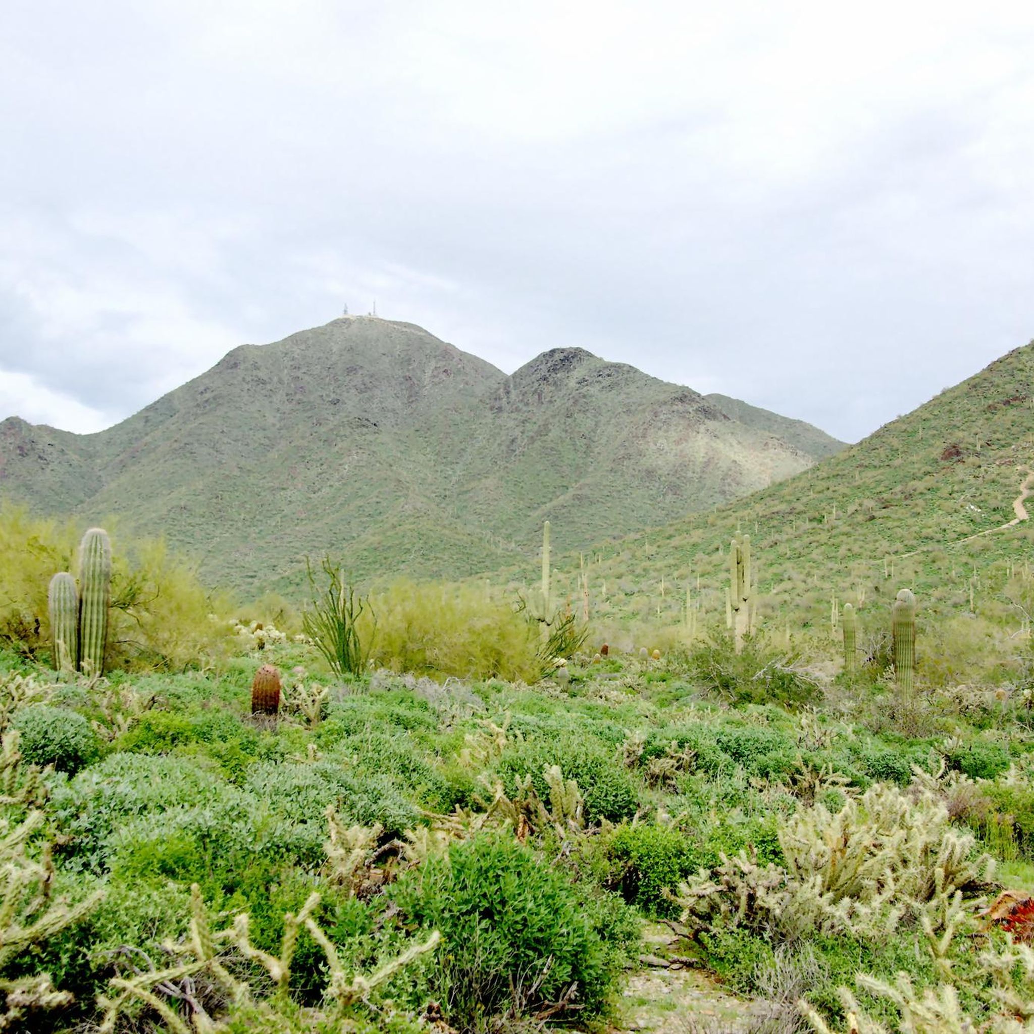
Gravel biking in McDowell Mountain Regional Park offers an extensive network of trails within the Sonoran Desert landscape. The region is characterized by expansive desert terrain, iconic saguaro cacti, and elevations rising to 3,000 feet along the western boundary. Riders can experience a mix of fast-rolling paths, smooth singletrack, and some narrower, rockier sections, all set against the backdrop of the McDowell Mountains.
Best gravel bike trails in McDowell Mountain Regional Park
- The most popular gravel bike trail is Elmore…
Last updated: October 1, 2026
18
riders
Moderate gravel ride. Good fitness required. Mostly paved surfaces. Suitable for all skill levels.
2
riders
15.1km
01:20
120m
120m
Easy gravel ride. Great for any fitness level. Mostly paved surfaces. Suitable for all skill levels.

3
riders
12.9km
01:09
110m
100m
Easy gravel ride. Great for any fitness level. Mostly paved surfaces. Suitable for all skill levels.
2
riders
18.5km
01:40
190m
190m
Moderate gravel ride. Good fitness required. Mostly paved surfaces. Suitable for all skill levels.
23
riders
Hard gravel ride. Very good fitness required. Mostly paved surfaces. Suitable for all skill levels.
Get access to more routes and recommendations from other explorers.
Already have an account?
Our route recommendations are based on thousands of hikes, rides, and runs completed by other people on komoot.
Start today with a free account
Your next adventure awaits.
Tips from the Community

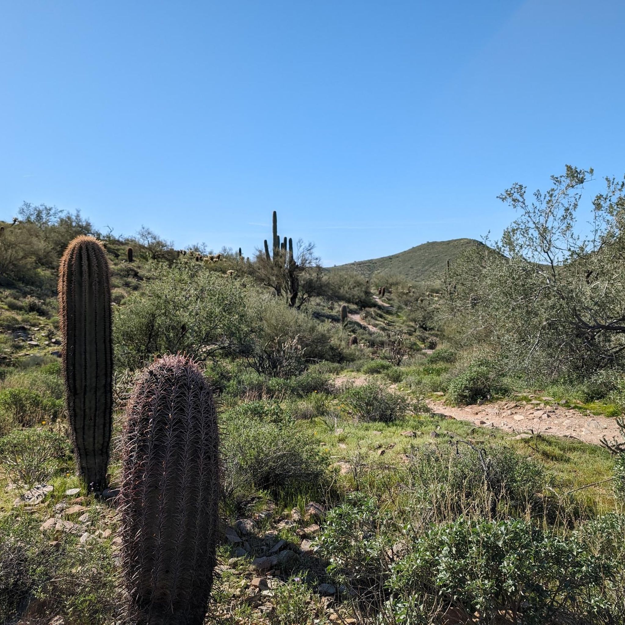
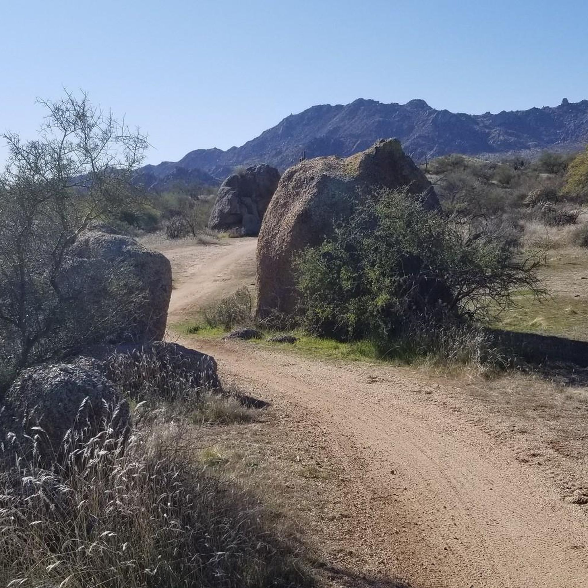
Fun and smooth, the trail has lots of grip and generally rolls really fast. Perfect for almost all levels of riders with a few little rocky challenges to keep you on your toes.
0
0
The trail is fast rolling and generally you will find plenty of grip everywhere!
0
0

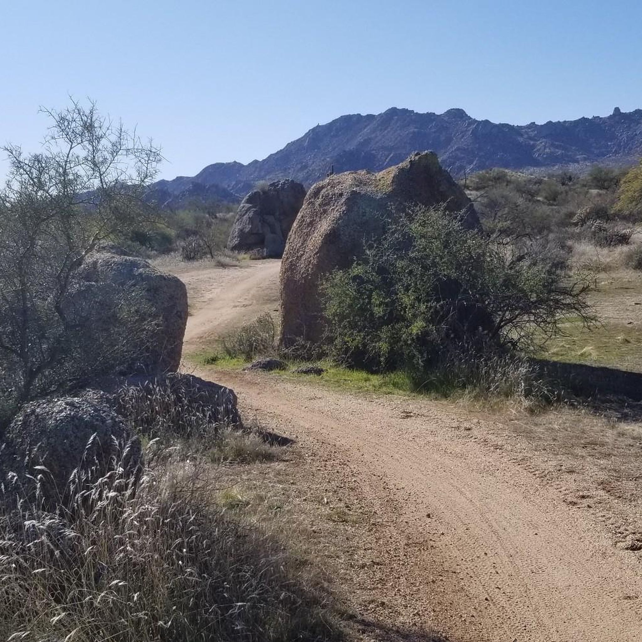
Chuckwagon Trail is a fantastic, easy, wide pathway with a gradual incline leading to Balanced Rock. There are great views along the way throughout the beautiful desert landscape. The route is popular with hikers, mountain bikers and equestrians, so you'll see plenty of others enjoying the trail as you explore.
0
0

This paved trail runs more than 10 miles total along both sides of the Rio Salado, or Salt River, which extends west into Tempe Town Lake.
0
0
Generally quiet and a lovely way to avoid the roads.
0
0
Perfect for cruising along in and out of the city.
0
0

The Granite Mountain Loop offers spectacular views along the way. This particular viewpoint can be found by taking a small spur trail off of the main trail. The viewpoint looks out into Tonto National Forest.
0
0
Maverick Trail is one of the smoother paths in the trail system and has a lot of open straightaways where you can pick up speed. Make sure to control your bike before you get to the few turns and blind bends because this trail is also open to foot traffic.
1
0
Frequently Asked Questions
What types of gravel biking trails can I find in McDowell Mountain Regional Park?
McDowell Mountain Regional Park offers a diverse network of gravel trails, ranging from fast-rolling paths and smooth singletrack to more rugged and technical sections. You'll find routes suitable for various skill levels, all set against the stunning Sonoran Desert landscape.
Are there any easy or beginner-friendly gravel bike trails in the park?
Yes, the park has several options suitable for beginners. For an easy ride, consider the Balanced Rock – Latigo Trail loop from McDowell Sonoran Preserve, which covers about 7.9 miles (12.7 km) with moderate elevation gain. Many trails are described as 'mellow' and 'flowy', making them enjoyable for those new to gravel biking.
What are some challenging gravel biking routes for experienced riders?
For a more demanding experience, the park features routes like the Elmore Pedestrian Bridge – Arizona Canal Path loop from Notre Dame Prepratory High School, a difficult 58.2-mile (93.6 km) trail. Another challenging option is the Sonoran mountains view – Marguerite Lake loop from Notre Dame Prepratory High School, which is 48.9 miles (78.8 km) and offers sweeping views with varied terrain. The park's Competitive Track also provides three distinct loops—Long, Sport, and Technical—with steep inclines and rugged sections.
What is the best time of year to go gravel biking in McDowell Mountain Regional Park?
The best time for gravel biking in McDowell Mountain Regional Park is typically during the cooler months, from fall through spring (October to April). During these seasons, temperatures are more moderate, making for a more comfortable ride. Summer can be extremely hot, requiring early morning rides and extra precautions.
Are there any family-friendly gravel biking options in McDowell Mountain Regional Park?
While specific 'family-friendly' gravel routes are not explicitly detailed, the park offers trails with varying difficulty levels, including easy and moderate options that could be suitable for families with older children or those comfortable with longer distances. The park also features a desert-themed playground near the Visitor Center for younger children.
What kind of wildlife might I encounter on the trails?
McDowell Mountain Regional Park is home to diverse wildlife. You might spot javelina, coyotes, deer, and a multitude of bird species, especially around the park's three ponds. Keep an eye out for iconic saguaro cacti and other desert flora as well.
Are there any notable landmarks or points of interest along the gravel trails?
Yes, the park offers several points of interest. You can find rest areas like Jackass Junction and The Zen Zone, which provide spots to rest and enjoy the scenery. The Pemberton Trail itself is a popular choice known for its gentle desert hiking and can be integrated into longer gravel rides.
What are the fees or permits required for gravel biking in McDowell Mountain Regional Park?
McDowell Mountain Regional Park typically requires an entrance fee per vehicle. For the most current information on park fees, permits, and any specific requirements for activities like gravel biking, it's best to check the official Maricopa County Parks and Recreation website or contact the park directly. You can also find general park information on Visit Phoenix.
Are there any loop trails for gravel biking in the park?
Yes, many of the gravel biking routes in McDowell Mountain Regional Park are designed as loops. Examples include the 136th Street Express loop from Pinnacle Peak Park, the Balanced Rock – Latigo Trail loop, and the Latigo Trail – Maverick Trail loop. These loops offer varied distances and difficulties, allowing you to explore different sections of the park.
What are the parking facilities like for gravel bikers?
McDowell Mountain Regional Park offers ample parking facilities for visitors. There are developed campsites for both tents and RVs, and parking areas are generally available near trailheads and the Visitor Center, providing convenient access to the gravel biking routes.
What is the typical duration for gravel bike rides in the park?
Ride durations vary significantly based on the chosen route and your pace. For instance, the 136th Street Express loop typically takes around 3 hours 44 minutes, while longer, more difficult routes like the Elmore Pedestrian Bridge – Arizona Canal Path loop can take over 6 hours to complete.
Can I bring my dog on the gravel biking trails?
McDowell Mountain Regional Park is generally dog-friendly, but specific rules and leash requirements apply. It's always best to check the park's official regulations regarding pets on trails to ensure a safe and compliant experience for you, your dog, and other park visitors.
Are there any amenities like cafes or accommodation near the park?
While the park itself offers developed campsites for both tents and RVs, you'll find a wider range of cafes, restaurants, and accommodation options in nearby towns and cities, such as Fountain Hills or Scottsdale, which are a short drive from the park's entrances.
Most popular routes in Mcdowell Mountain Regional Park
Most popular attractions in Mcdowell Mountain Regional Park

Get inspired with the komoot mobile app


Explore more
Browse the best Gravel rides in other regions.
