The best gravel rides in Tilden Regional Park
4.4
(17)
128
riders
24
rides
If you've ever tried to plan gravel biking in Tilden Regional Park, you know the challenge: a vast network of trails means endless options, and it's tough to tell which routes are genuinely worth your time versus just filler. We get it – you want the best gravel bike trails, not a wild goose chase. That's why we've pulled together this guide, drawing on the collective wisdom of komoot's community who have ridden, mapped, and reviewed these routes. Consider this your curated shortcut to the best Tilden has to offer.
Gravel biking in Tilden Regional Park is all about embracing the East Bay Hills. You'll find a mix of fire roads, eucalyptus forests, and open grasslands, with terrain that ranges from smooth gravel to more challenging, unpaved sections. Expect significant elevation changes that reward you with panoramic views of the San Francisco Bay, Golden Gate Bridge, and Mount Diablo. While the park is accessible year-round, parking can fill up quickly on weekends, so an early start is always a good idea.
If you're looking for a classic Tilden experience with big views and a solid workout, we'd start with the East Bay Skyline Loop. This challenging 19.7 miles (31.7 km) route offers some of the best vistas in the park. For a slightly less intense but still rewarding ride, the Wildcat Creek Trail – Jewel Lake loop from El Cerrito Plaza is a moderate 18.3 miles (29.5 km) option that takes you through varied landscapes. With more than 150 gravel bikers having explored Tilden using komoot, you're in good company.
Last updated: June 6, 2026
4.5
(2)
18
riders
31.7km
03:05
800m
800m
If you're looking for a gravel biking adventure that truly showcases the East Bay, the East Bay Skyline Loop delivers. This difficult 19.7-mile (31.7 km) route winds through a stunning variety of landscapes, from open grasslands to dense redwood groves, all while offering continuous panoramic views of the San Francisco Bay and the Golden Gate Bridge. You'll encounter diverse terrain, including paved roads, fire roads, and technical singletrack, with significant climbs that will test your fitness.
Prepare for a substantial workout, as the loop involves 2631 feet (802 metres) of elevation gain and typically takes around 3 hours and 4 minutes to complete. While specific parking can vary depending on your starting point within the regional parks, it's generally accessible. Checking trail conditions, especially after rain, is advisable due to potentially muddy or rough sections. This ride is best suited for experienced gravel bikers ready for a challenge.
What makes this route stand out is its ability to connect multiple regional parks like Wildcat Canyon, Tilden, and Sibley, offering a true "best of East Bay" experience. Beyond the physical challenge, the ever-present Bay Area vistas, particularly from spots like Inspiration Point, provide constant motivation and make the strenuous climbs worthwhile. It's a robust workout combined with iconic scenery, making it a favorite among local gravel enthusiasts.
12
riders
55.9km
03:58
970m
960m
Hard gravel ride. Very good fitness required. You may need to push your bike for some segments of this route.

Sign up for free
6
riders
46.4km
03:32
1,070m
1,070m
Hard gravel ride. Very good fitness required. Mostly paved surfaces. Suitable for all skill levels.
7
riders
29.5km
01:59
440m
440m
Moderate gravel ride. Good fitness required. Mostly paved surfaces. Suitable for all skill levels.
3.0
(2)
7
riders
21.0km
01:40
540m
540m
Hard gravel ride. Very good fitness required. Mostly paved surfaces. Suitable for all skill levels.
Get access to more routes and recommendations from other explorers.
Sign up for free
Already have an account?
Our route recommendations are based on thousands of hikes, rides, and runs completed by other people on komoot.
Start today with a free account
Your next adventure awaits.
Login or Signup

Tips from the Community

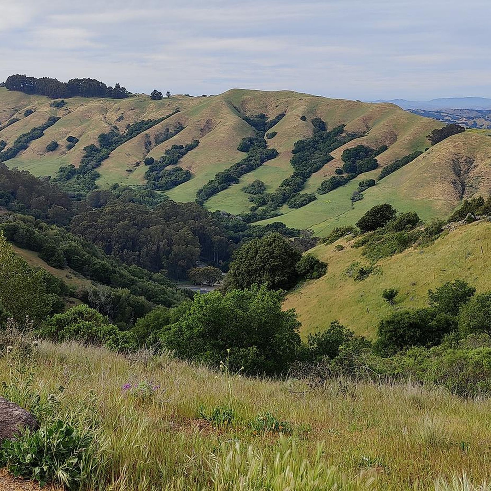
This road parallels the ridgeline above and have great views over the bay and surrounding hills.
0
0

The Sibling Staging Area at Sibley Volcanic Regional Preserve has 38 parking spots, public restrooms, a visitors center, educational signage, and a spot for filling water bottles.
0
0
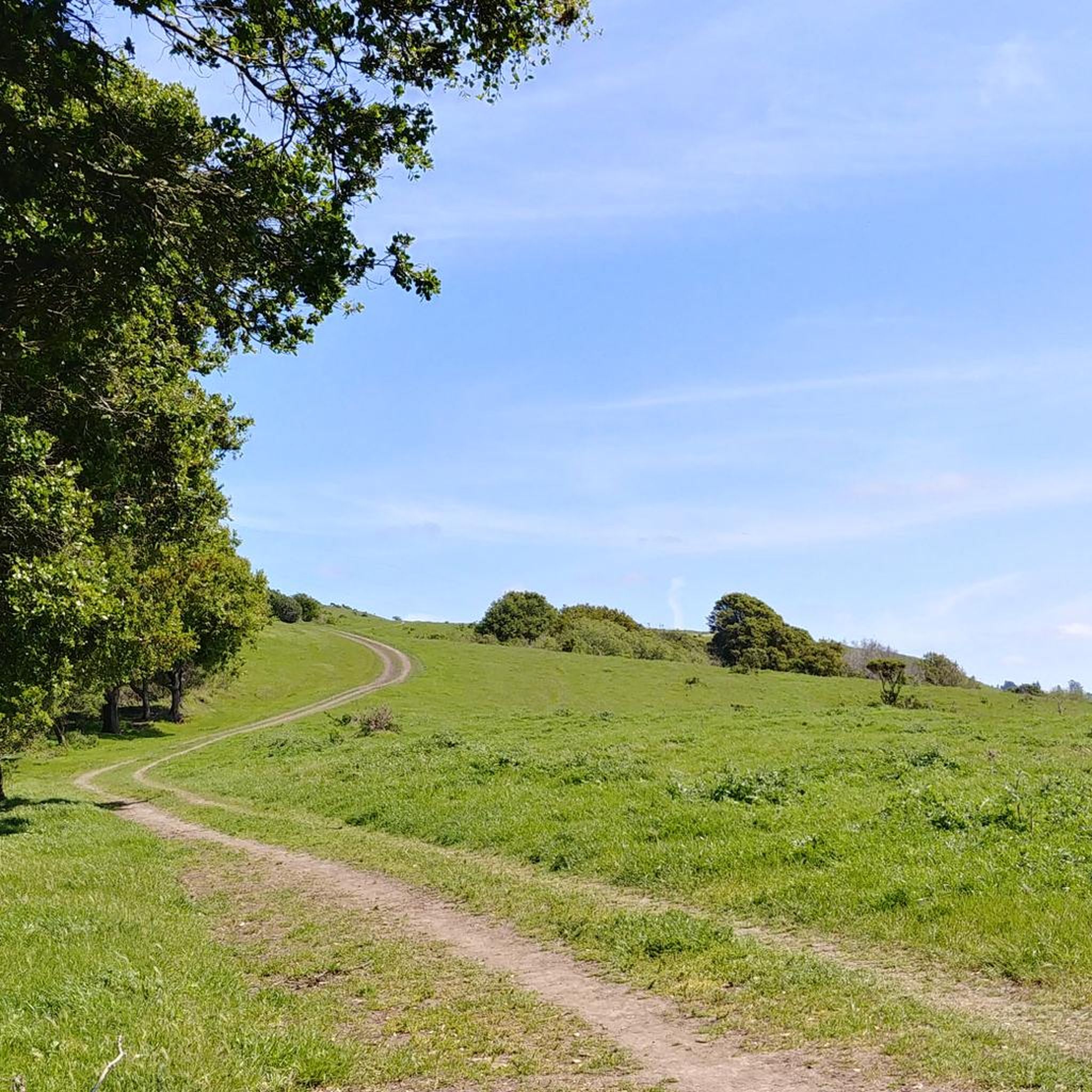
Wildcat Creek Trail is a packed-dirt trail that is about four miles long. One end of the trail is at Jewel Lake, near the Environmental Education Center, and the other end of the trail is at the Alvarado Staging Area. This trail offers great views of Wildcat Creek and has some picnic tables you could stop at along the side of the trail.
0
0
Conlon Trail is a connector trail off of Nimitz Way Trail that spits you out on its south side at the intersection of Havey Canyon Trail and Wildcat Creek Trail. Conlon Trail offers from sweet views, but it's open to hikers and bikers, so keep an eye out for folks on foot.
0
0


This trail leads up to 1,634-foot Volcanic Peak. You can also bike to the summit of nearby Round Top, but the access road there is paved, so it's not as suited to a mountain bike.
0
0

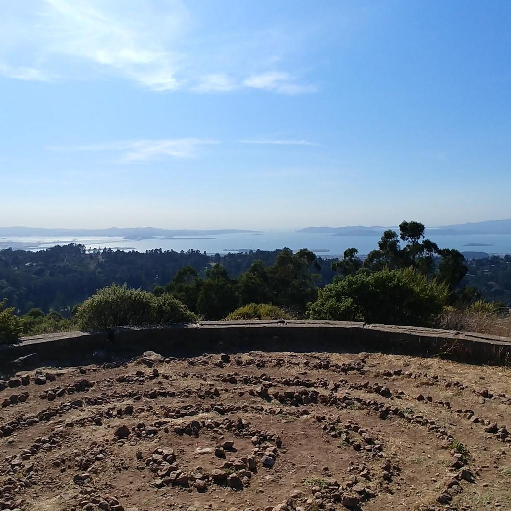
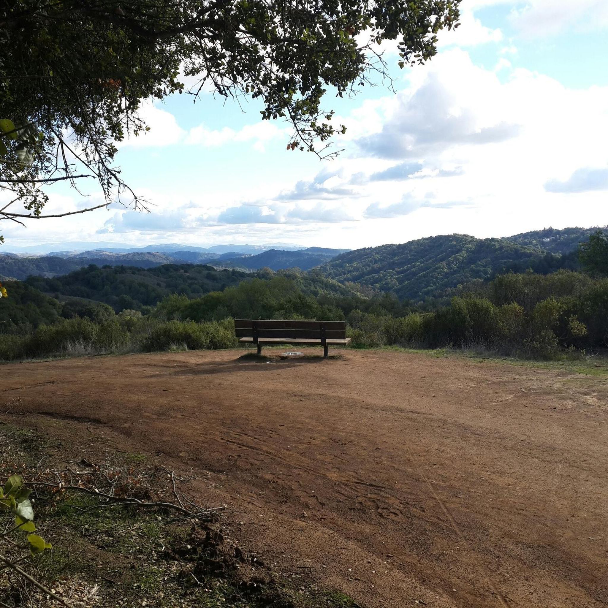
Mount Diablo is framed by the canyon on either side of you as you reach the far east side of the overlook. Back at the junction, the wide crushed gravel path rewards you with a bench and view of the hills over Siesta Valley. The Sibley Labyrinth offers a variety of secluded trails that wind down the mountainside and take you through volcanic history.
0
0
Frequently Asked Questions
What kind of terrain can I expect on gravel bike trails in Tilden Regional Park?
Tilden Regional Park offers a diverse landscape for gravel biking, primarily featuring fire roads. You'll encounter a mix of smooth gravel and more challenging, rougher sections. The trails traverse varied environments, including fragrant eucalyptus forests, open grassy meadows, and areas with steep inclines, providing a dynamic riding experience.
Are there gravel biking routes suitable for beginners in Tilden Regional Park?
While many routes in Tilden Regional Park are rated as difficult, there are options for different ability levels. Some trails offer a more relaxed yet engaging gravel riding experience with gentle climbs, such as sections of the Wildcat Creek Trail. For a moderate option, consider the Richmond Bay Trail – Cedar Rose Park loop from Downtown Berkeley, which is 19.4 miles long.
How long are the gravel biking routes in Tilden Regional Park?
The gravel biking routes in Tilden Regional Park vary in length. For example, the Ohlone Greenway – Cedar Rose Park loop from North Berkeley is about 15.7 miles (25.2 km) and typically takes around 1 hour 33 minutes. Longer, more challenging routes like the Inspiration Point Overlook – Grizzly Peak Boulevard loop from North Berkeley can be up to 29 miles (46.6 km) and take over 4 hours.
What are the elevation gains like on gravel bike trails in Tilden Regional Park?
Gravel bike trails in Tilden Regional Park can feature significant elevation gains, especially on more difficult routes. For instance, the East Bay Skyline Loop, a difficult 19.7-mile path, includes over 800 meters of ascent. Even moderate routes like the Richmond Bay Trail – Cedar Rose Park loop from Downtown Berkeley have around 319 meters of elevation gain.
What scenic views can I expect while gravel biking in Tilden Regional Park?
Tilden Regional Park offers breathtaking scenic views. From many vantage points, including along Grizzly Peak Boulevard, you can enjoy expansive views of the San Francisco skyline and the surrounding areas, with spectacular sunset views of the Golden Gate Bridge. Inspiration Point Overlook is a popular spot for panoramic vistas.
Are there any interesting landmarks or attractions to see along the gravel bike trails?
Yes, Tilden Regional Park is rich with attractions. You can visit the Lake Anza, a picturesque spot for relaxation. The Regional Parks Botanic Garden showcases California's native flora, including a small stand of giant Sequoia redwood trees. For family fun, the park features the Tilden Park Steam Train and the Little Farm, where visitors can interact with livestock.
Are there family-friendly gravel biking options in Tilden Regional Park?
While many gravel trails are more challenging, Tilden Regional Park offers attractions that make it a great family destination. After a ride, families can enjoy the Tilden Park Steam Train, the Tilden Park Merry-Go-Round, or visit the Little Farm. Lake Anza is also a popular spot for swimming and picnics during warmer months.
When is the best time of year to go gravel biking in Tilden Regional Park?
The park is enjoyable year-round, but spring is particularly beautiful with multiple fields of wildflowers in bloom. Warmer months are ideal if you plan to combine your ride with a visit to Lake Anza for swimming. Always check the weather conditions, as the park's diverse landscapes can be affected by rain or heat.
Where can I park when visiting Tilden Regional Park for gravel biking?
A primary staging area with parking is Inspiration Point Overlook, which also serves as a starting location for many trails, including the Nimitz Way. There are various other parking areas throughout the park depending on your chosen trailhead.
What do other gravel bikers enjoy the most about gravel biking in Tilden Regional Park?
The area is highly rated by the komoot community, with an average score of 4.37 stars from over 15 reviews. Reviewers often praise the park's expansive and diverse landscape, the mix of smooth and challenging gravel terrain, and the breathtaking views of the San Francisco skyline. The variety of trails, from eucalyptus forests to open meadows, is also frequently highlighted.
Are there any loop trails for gravel biking in Tilden Regional Park?
Yes, Tilden Regional Park offers several loop options for gravel bikers. Routes like the Richmond Bay Trail – Cedar Rose Park loop from Downtown Berkeley and the Ohlone Greenway – Cedar Rose Park loop from North Berkeley are popular choices that allow you to start and end in the same location, offering varied urban and park landscapes.
Can I access Tilden Regional Park's gravel trails using public transport?
Tilden Regional Park is accessible by public transport, particularly from nearby Berkeley. While specific bus routes might vary, AC Transit provides service to areas around the park, allowing for access to various trailheads. It's advisable to check current schedules and routes with AC Transit for the most up-to-date information.
Most popular routes in Tilden Regional Park
Most popular attractions in Tilden Regional Park

Get inspired with the komoot mobile app


Explore more
Browse the best Gravel rides in other regions.
