The best gravel rides in Cascade Canyon Open Space Preserve
4.4
(12)
228
riders
27
rides
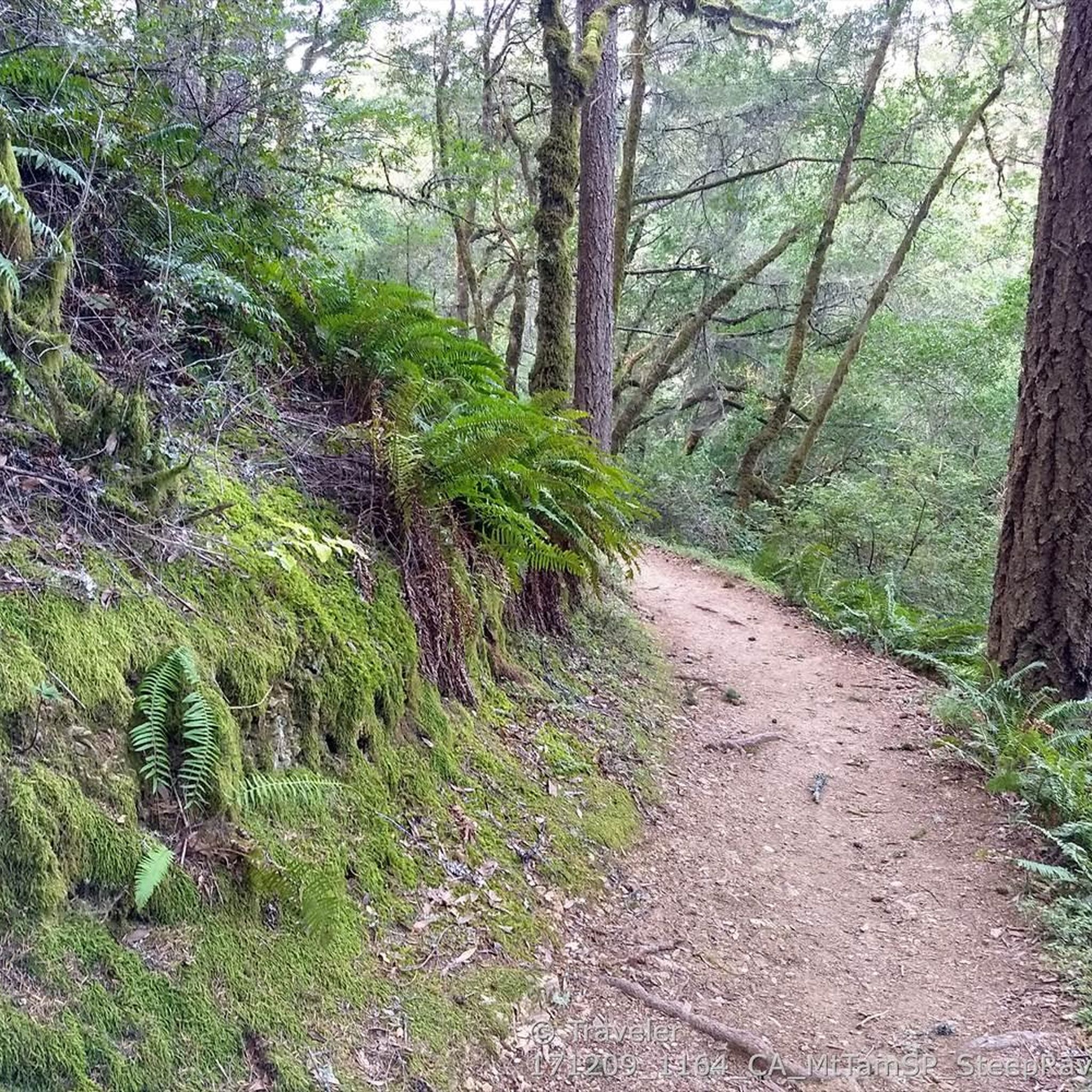
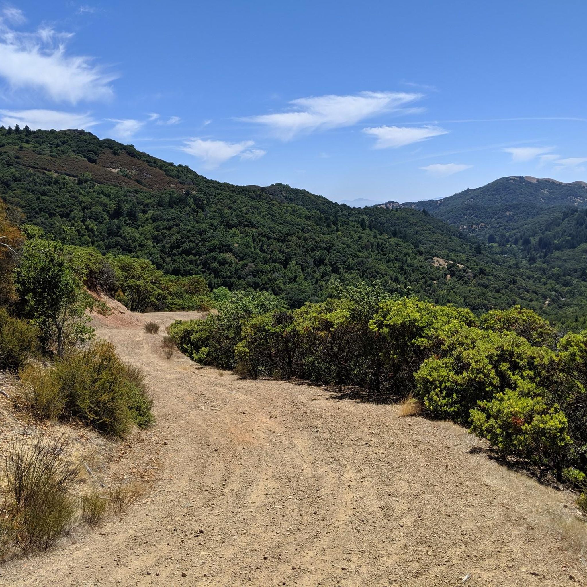
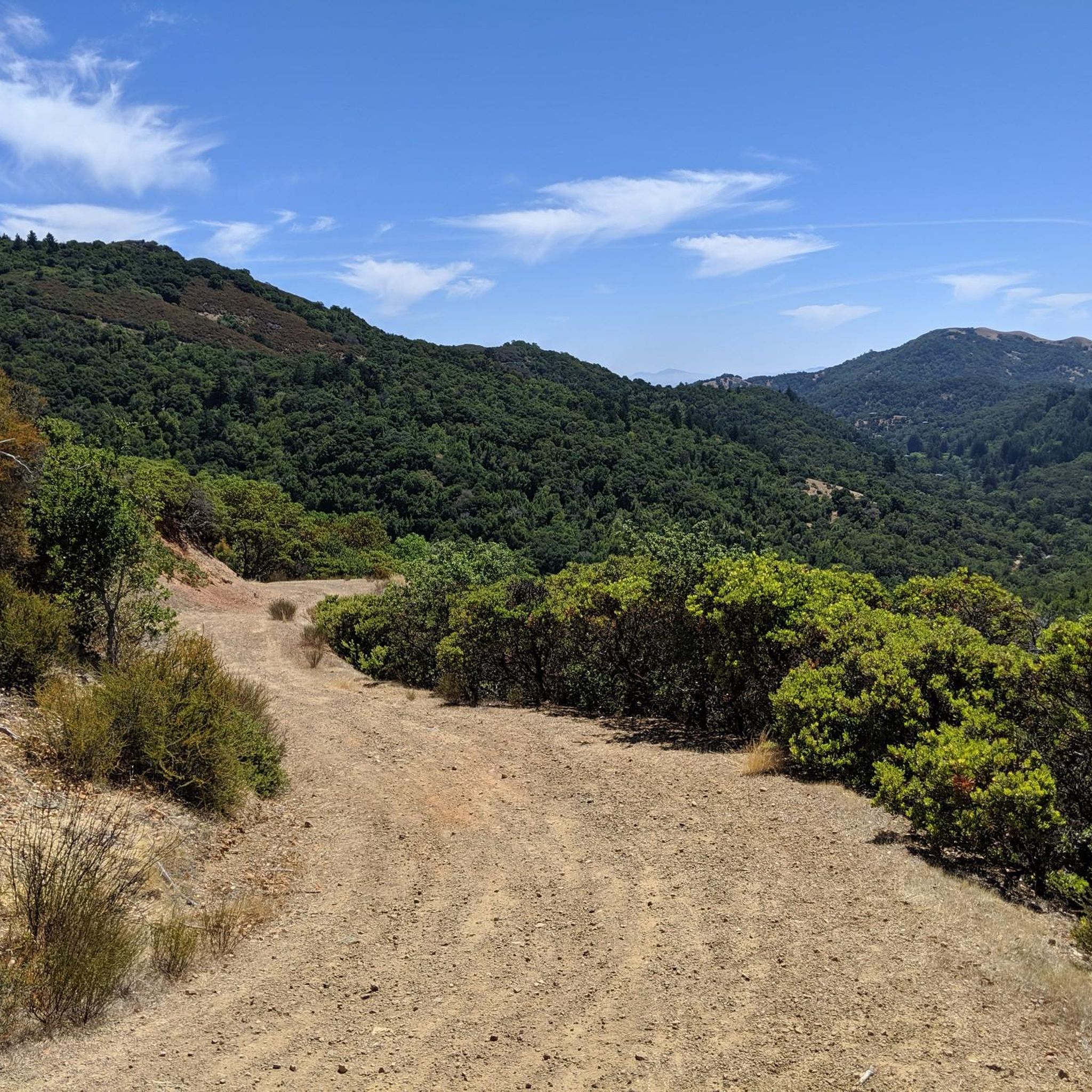
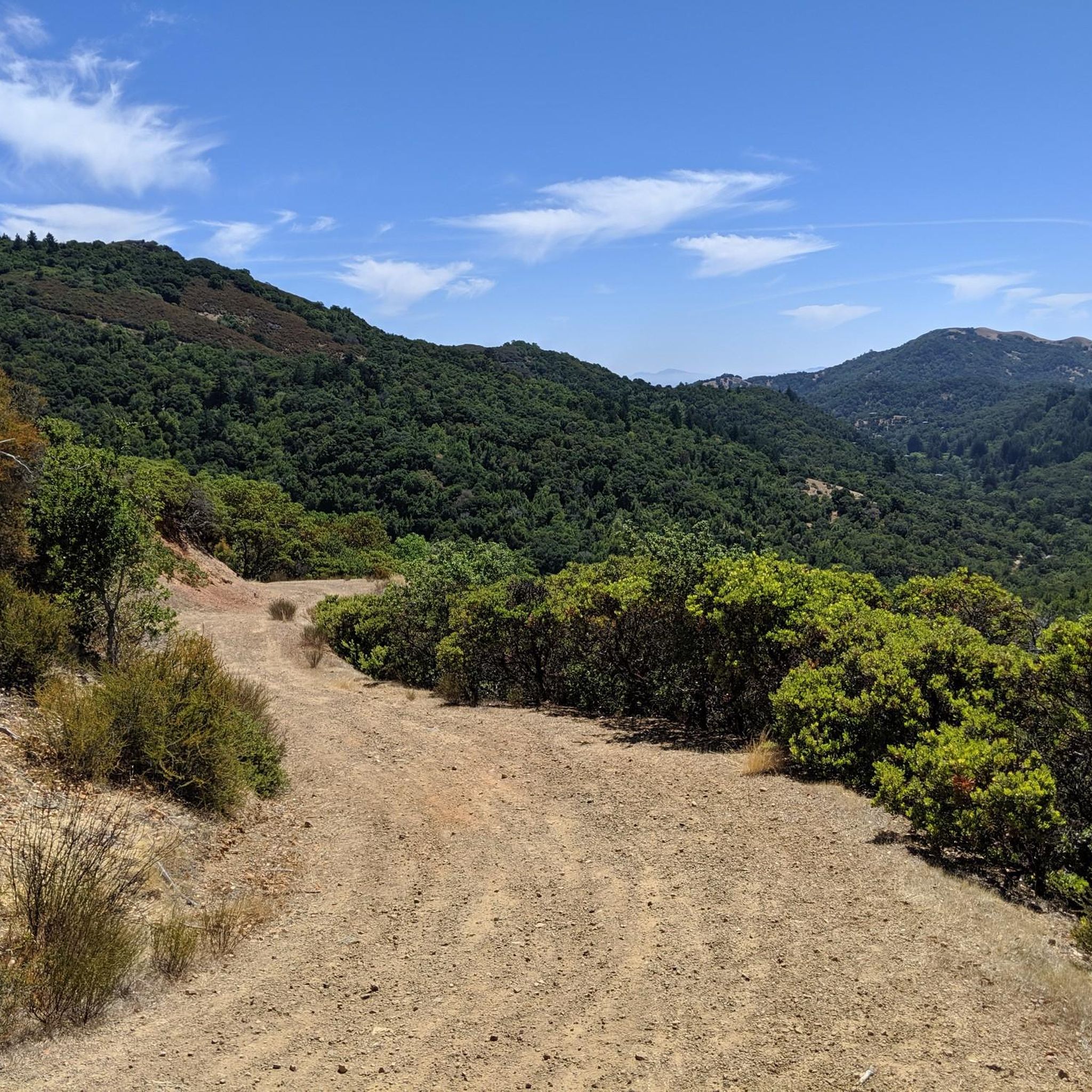
Gravel biking in Cascade Canyon Open Space Preserve features diverse terrain, including rolling hills, lush canyons, and dense forests. The preserve's network of fire roads and multi-use trails offers significant elevation gains, with routes ranging from moderate to difficult. Creeks such as San Anselmo, Carey Camp, and Cascade carve through the landscape, contributing to the varied environment. Interconnected trail systems extend into neighboring parklands, providing extensive options for longer rides.
Best gravel bike trails in Cascade Canyon Open Space Preserve
…Last updated: August 25, 2026
19
riders
31.3km
02:35
620m
620m
Hard gravel ride. Very good fitness required. Mostly paved surfaces. Suitable for all skill levels.
3.0
(1)
8
riders
38.6km
03:35
950m
940m
Hard gravel ride. Very good fitness required. Mostly paved surfaces. Suitable for all skill levels.

Sign up for free
9
riders
52.5km
05:00
1,510m
1,500m
Hard gravel ride. Very good fitness required. Mostly paved surfaces. Suitable for all skill levels.
5.0
(1)
4
riders
69.3km
06:24
1,680m
1,680m
Hard gravel ride. Very good fitness required. Mostly paved surfaces. Suitable for all skill levels.
5
riders
17.7km
01:30
390m
390m
Moderate gravel ride. Good fitness required. Mostly paved surfaces. Suitable for all skill levels.
Get access to more routes and recommendations from other explorers.
Sign up for free
Already have an account?
Our route recommendations are based on thousands of hikes, rides, and runs completed by other people on komoot.
Start today with a free account
Your next adventure awaits.
Login or Signup
Tips from the Community

An absolute must-see for cycling enthusiasts! This museum in Fairfax tells the story of nearly 200 years of cycling history, from 19th-century velocipedes to modern racing bikes. It's also home to the Mountain Bike Hall of Fame, featuring unique specimens and stories about the pioneers of mountain biking. The collection is impressive and authentic—no replicas, but real bicycles that showcase the evolution of technology and design. An inspiring place where you can truly feel the passion for cycling.
1
0

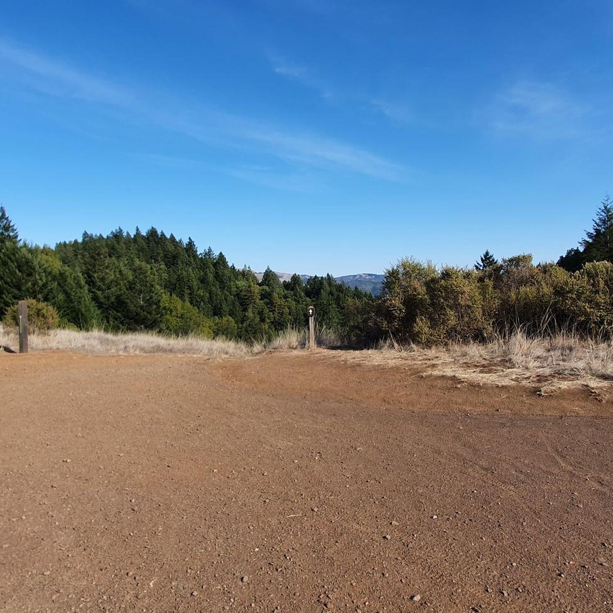
At the junction of Chicken Shack Fire Road and Ponti Ridge Trail. There are benches, a great view, and trail markers.
1
0

West of Lake Lagunitas, Bon Tempe Lake is a reservoir managed by Marin Municipal Water District. It features striking scenery, with lush trees, clear water, and a peaceful atmosphere.
0
0

At this point on Sky Oaks Road, there is a junction with Shaver Grade Road, which connects with a dense network of trails and dirt roads near Bald Hill in the Mount Tamalpais State Park. From here, you can continue on the paved Sky Oaks Road or go arond the gate on to the gravel Shaver Grade Road.
0
0

Loma Alta literally translates to "high hill" and is the highest point in the Loma Alta Open Space Preserve. A few different dirt roads and trails lead to the bald summit that looks over the surrounding hillsides.
0
0
Embark on an adrenaline-fueled mountain biking adventure through Big Rock. The trail reaches its peak at the towering landmark, a colossal rock that adds a unique touch to the experience. Exercise caution on the descent; the pavement can get slippery, adding an exhilarating challenge to this thrilling ride.
0
0
Big Rock Ridge, a striking ridge near Novato, California, standing as Marin County's second-tallest peak. Spanning 5 miles from northwest to east, it creates a natural boundary for central and southern Marin County. Named after the rock at the base of Big Rock Trail, this ridge promises awe-inspiring views and invigorating trails.
0
0
Frequently Asked Questions
How many gravel bike trails are available in Cascade Canyon Open Space Preserve?
There are nearly 30 gravel bike routes available in Cascade Canyon Open Space Preserve, offering a wide range of experiences from moderate to challenging. The komoot community has explored these trails over 230 times, with routes averaging a 4.75-star rating.
What kind of terrain can I expect on gravel bike trails in Cascade Canyon Open Space Preserve?
The preserve features diverse terrain, including rolling hills, lush canyons, and dense forests. You'll primarily ride on fire roads and interconnected trail systems, with options for significant elevation gains. Creeks like San Anselmo, Carey Camp, and Cascade carve through the landscape, adding to the varied environment.
Are there any challenging gravel bike routes for experienced riders?
Yes, Cascade Canyon Open Space Preserve offers several challenging routes. For instance, the Fish Gulch trail junction – Hoo-Koo-E-Koo Fire Road Trail loop from Fairfax is a difficult 39.6 km path with substantial elevation gain. Another demanding option is the Fairfax – Big Rock Ridge loop from Fairfax, which covers 52.5 km with over 1500 meters of climbing.
What are some notable natural features or attractions to see along the trails?
The preserve is known for its natural beauty. A highlight is Cascade Falls, a 15 to 20-foot single-drop waterfall that is particularly impressive during the rainy season (late winter and early spring). You'll also encounter shady forests dominated by coast live oak, California bay, madrone, and buckeye trees, and in late winter and early spring, vibrant displays of wildflowers.
Are there any family-friendly gravel biking options in the preserve?
While many routes involve significant elevation, some sections and interconnected trails can be suitable for families looking for a less strenuous ride. It's best to check individual route details for difficulty and elevation profiles to find the most appropriate option for your family's skill level.
What is the best time of year to go gravel biking in Cascade Canyon Open Space Preserve?
Late winter and early spring are particularly scenic, as this is when Cascade Falls is most impressive and wildflowers are in bloom. The shady forests also provide a cool and refreshing environment, making it enjoyable even on warmer days. However, the preserve is accessible year-round.
Are there any loop routes for gravel biking in the preserve?
Yes, many of the gravel bike trails in Cascade Canyon Open Space Preserve are designed as loops. Popular options include the moderate Phoenix Lake – Fish Gulch trail junction loop from Fairfax and the more difficult Fairfax – Alpine Lake - Bon Tempe Dam loop from Fairfax.
Where can I find parking and trailheads for gravel biking?
Many routes start from Fairfax, which serves as a common access point for the preserve and its interconnected trail systems. Specific parking information can usually be found in the details of individual komoot tours, but general access points are well-established around the preserve's boundaries.
What do other gravel bikers enjoy most about riding here?
The area is highly rated by the komoot community, with an average score of 4.75 stars. Reviewers often praise the diverse terrain, the scenic landscapes, and the extensive network of fire roads and trails that connect to neighboring parklands, allowing for varied and longer rides.
Are dogs allowed on the gravel bike trails?
Cascade Canyon Open Space Preserve is generally dog-friendly, but specific regulations regarding leashes and trail access can vary. It's always recommended to check the latest rules from Marin County Parks or the Marin Municipal Water District before heading out with your dog.
Are there any nearby attractions for cycling enthusiasts?
Yes, the nearby town of Fairfax is home to the Marin Museum of Bicycling and Mountain Bike Hall of Fame, which is a significant attraction for anyone interested in cycling history and culture.
Does Cascade Canyon Open Space Preserve connect to other trail systems?
Absolutely. The preserve seamlessly connects with neighboring parklands, such as White Hill Open Space Preserve and lands managed by the Marin Municipal Water District. This connectivity provides an extensive network of fire roads and singletrack paths, allowing for longer and more varied routes.
Most popular routes in Cascade Canyon Open Space Preserve

Get inspired with the komoot mobile app


Explore more
Browse the best Gravel rides in other regions.
