The best gravel rides in Surrey Bend Regional Park
4.5
(108)
445
riders
11
rides
Gravel biking in Surrey Bend Regional Park offers routes through a landscape characterized by its position along the Fraser River. The area features extensive wetlands, mature forests, and open floodplains, providing a generally flat terrain ideal for gravel riding. Trails often follow dikes and natural surface paths, with minimal elevation changes across the park. This environment supports a variety of flora and fauna, making for scenic and accessible rides.
Best gravel bike trails in Surrey Bend Regional Park
- The most…
Last updated: July 3, 2026
4.3
(38)
126
riders
43.3km
02:10
110m
110m
Moderate gravel ride. Good fitness required. Mostly paved surfaces. Suitable for all skill levels.
5.0
(1)
17
riders
Easy gravel ride. Great for any fitness level. Mostly paved surfaces. Suitable for all skill levels.

Sign up for free
4.3
(6)
10
riders
22.9km
01:08
40m
40m
Easy gravel ride. Great for any fitness level. Mostly paved surfaces. Suitable for all skill levels.
3.0
(1)
6
riders
Easy gravel ride. Great for any fitness level. Mostly paved surfaces. Suitable for all skill levels.
4.8
(5)
37
riders
51.3km
02:30
80m
80m
Moderate gravel ride. Good fitness required. Mostly paved surfaces. Suitable for all skill levels.
Get access to more routes and recommendations from other explorers.
Sign up for free
Already have an account?
Our route recommendations are based on thousands of hikes, rides, and runs completed by other people on komoot.
Start today with a free account
Your next adventure awaits.
Login or Signup
Tips from the Community

Pitt Meadows Regional Airport sits right along the Pitt River Regional Greenway and the Fraser River, serving general aviation, flight training, and small aircraft operations in the Lower Mainland. The low-lying airfield is surrounded by farmland and dike trails, making aircraft activity a constant backdrop for nearby walks and rides. As you pass by, you'll likely see planes taking off and landing at close range against the open valley setting.
0
0
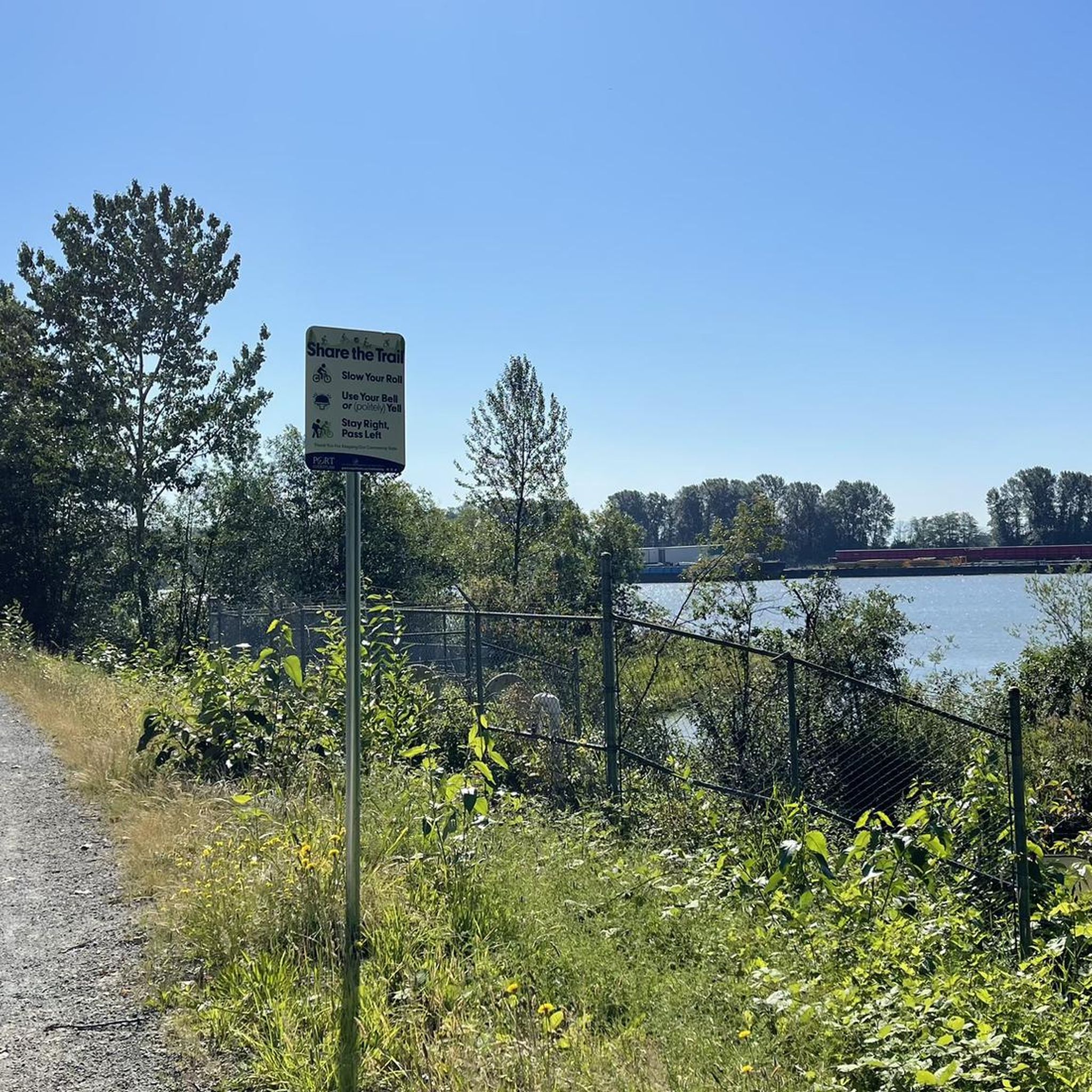
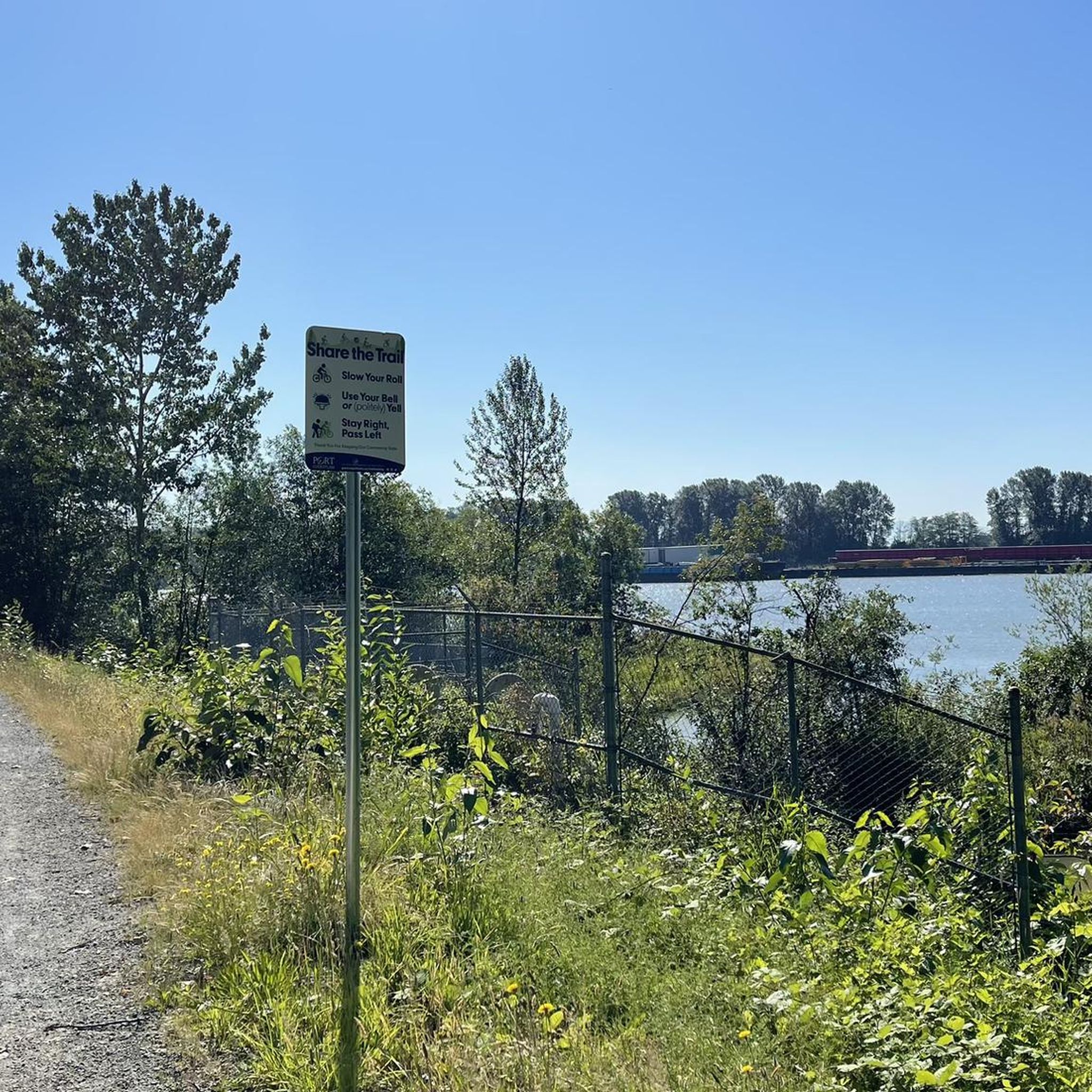
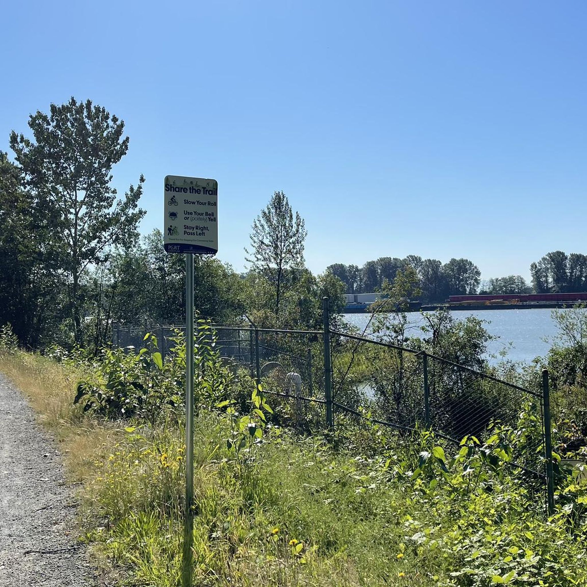
The Pitt River Regional Greenway follows the Fraser and Pitt Rivers and is a flat, easy route that is part of a wider network of cycling and walking paths through Pitt Meadows. The trail runs through open farmland, with long, uninterrupted views of the river and the surrounding mountains. With minimal tree cover and expansive scenery, it feels exposed and spacious, shaped more by the river and sky than by forest. There are plenty of access points and parking at both ends, making it perfect for a short or extended hike along the riverfront.
0
0
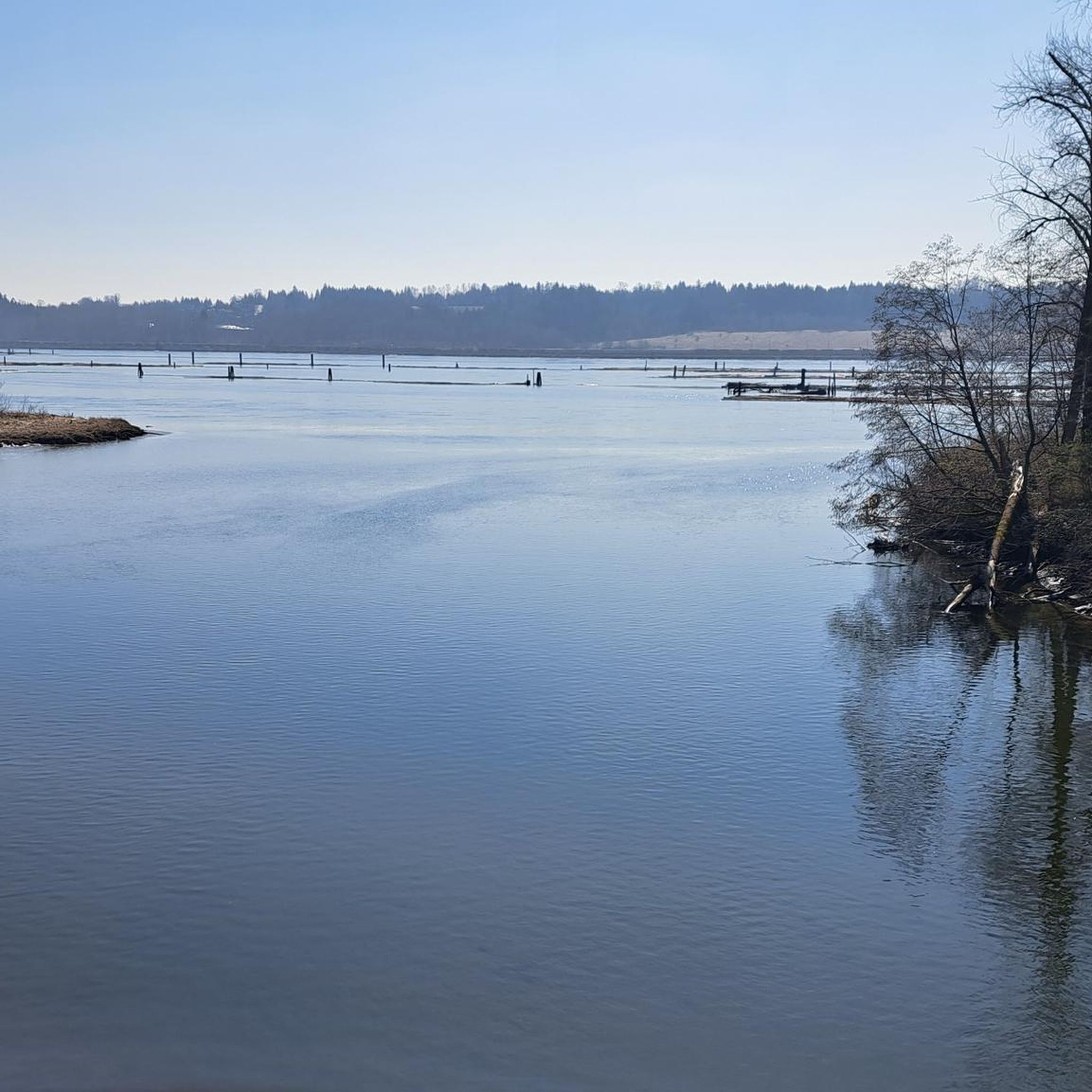
This beautiful river is a major tributary of the Fraser River that flows south from the Garibaldi Ranges, through Pitt Lake, before joining the Fraser River near Port Coquitlam. The lower stretches of the river are tidal, and the surrounding wetlands are home to a rich diversity of wildlife. The river also holds cultural significance for the Kwantlen First Nation, serving as a natural corridor that connects the coastal region with the interior of the province.
0
0
The Traboulay PoCo Trail is a beautiful multiuse 25.3-kilometer loop surrounding Port Coquitlam that winds through diverse landscapes including forest, marsh, riverfront, and urban areas, with fantastic views of the Pitt and Coquitlam Rivers along with abundant wildlife. The trail is mostly flat and well-maintained, with a mix of gravel and paved sections, and is an ideal location popular with walkers, runners, cyclists and families.
0
0

Dedicated in 2019 by the City of Port Coquitlam in recognition of Michael Forrest's contributions to the community and his service on City Council from 2000 to 2018 A third generation Fort Coquitlam resident, Michael has "cherished this view of the Fraser River his whole life, The rivers that were his playground as a child became his workplace as an -lt. Michael continues to be active in the community and can be seen regularly on the water,
0
0


Here you have a great view of the Coquitlam River, which is also the salmon spawning area.
0
0

Operated by volunteers. Usually open to the public on Saturday mornings.
0
0
Frequently Asked Questions
How many gravel biking routes are available in Surrey Bend Regional Park?
There are over 15 gravel biking routes in Surrey Bend Regional Park, offering a variety of experiences from easy loops to more moderate excursions along the riverfront and through forested areas.
Are there gravel biking trails suitable for beginners in Surrey Bend Regional Park?
Yes, the park's generally flat terrain makes it ideal for beginners. An excellent easy option is the Pitt River Bridge – Nature's Path loop from Pitt River Bridge, a 13.7-mile (22.0 km) trail that typically takes just over an hour to complete.
Are there any challenging gravel biking routes for experienced riders in Surrey Bend Regional Park?
While the park is known for its generally flat terrain, there is one route classified as difficult among the 15 available. For a moderate challenge, consider the Pitt River Bridge – Hyde Creek Salmon Hatchery loop from Pitt Meadows, which covers 26.9 miles (43.3 km) and explores riverfront sections.
What is the best season for gravel biking in Surrey Bend Regional Park?
Gravel biking in Surrey Bend Regional Park is enjoyable year-round, with spring and fall offering pleasant temperatures and vibrant scenery. Summer provides longer daylight hours, while winter rides can be peaceful, though some paths might be wet or muddy after heavy rain.
Are the gravel biking trails in Surrey Bend Regional Park suitable for families and dogs?
Yes, many of the park's flat and well-maintained dike trails are suitable for families. Dogs are generally welcome on leash in most areas of Surrey Bend Regional Park, making it a great destination for a family outing with your canine companion.
Where can I park when visiting Surrey Bend Regional Park for gravel biking?
Surrey Bend Regional Park offers designated parking areas for visitors. The main entrance off 176 Street provides ample parking, and there are often smaller access points with limited parking along the perimeter, depending on your chosen starting point.
Are there any loop routes for gravel biking in Surrey Bend Regional Park?
Yes, many of the routes in Surrey Bend Regional Park are designed as loops, allowing you to start and end at the same point. The View of Mount Baker – Hyde Creek Salmon Hatchery loop from Pitt River Bridge is a popular 19.5-mile (31.4 km) option with varied terrain.
What kind of views can I expect along the gravel biking trails in Surrey Bend Regional Park?
Riders can expect scenic views of the Fraser River, extensive wetlands, and mature forests. Distant mountain views, including Mount Baker on clear days, are also possible from certain vantage points, such as along the Hyde Creek Salmon Hatchery – Pitt River Viewpoint loop from Port Coquitlam.
Are there any cafes or pubs near Surrey Bend Regional Park for a post-ride refreshment?
While Surrey Bend Regional Park itself is primarily natural, nearby communities like Port Coquitlam and Pitt Meadows offer various dining options. The Taylight Brewing – Gillnetter Pub loop from Port Coquitlam route even incorporates a pub into its name, suggesting options in the vicinity.
What do other gravel bikers enjoy most about Surrey Bend Regional Park?
The area is highly rated by the komoot community, with an average score of 4.5 stars. Reviewers often praise the park's peaceful riverfront paths, the accessibility of its flat trails, and the beautiful natural scenery, making it a favorite for relaxed and scenic rides.
What are the typical durations for gravel bike rides in Surrey Bend Regional Park?
Due to the generally flat terrain, most rides in Surrey Bend Regional Park range from 1 to 3 hours. Shorter loops can be completed in about an hour, while longer routes, like the 26.9-mile (43.3 km) Pitt River Bridge – Hyde Creek Salmon Hatchery loop, might take around 2 hours and 10 minutes.
Most popular routes in Surrey Bend Regional Park

Get inspired with the komoot mobile app


Explore more
Browse the best Gravel rides in other regions.
