The best gravel rides in Riserva Naturale Acquerino Cantagallo
4.0
(4)
44
riders
5
rides
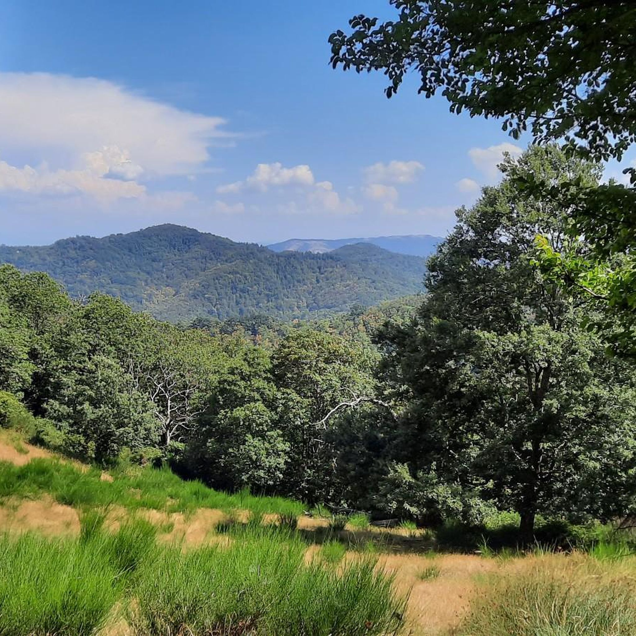
Gravel biking in Riserva Naturale Acquerino Cantagallo offers a diverse landscape characterized by river valleys, rolling hills, and scenic viewpoints. The region features paths alongside waterways like the Bisenzio and Bure streams, providing varied terrain for gravel cyclists. Elevations range from gentle riverside routes to more challenging climbs leading to panoramic views, catering to different skill levels.
Best gravel bike trails in Riserva Naturale Acquerino Cantagallo
- The most popular gravel bike trail is Gino Bartali Cycle Path – Bisenzio Riverside…
Last updated: May 27, 2026
4.0
(3)
16
riders
32.3km
01:41
90m
90m
Easy gravel ride. Great for any fitness level. Mostly paved surfaces. Suitable for all skill levels.
2
riders
33.0km
02:37
920m
920m
Hard gravel ride. Very good fitness required. You may need to push your bike for some segments of this route.

Sign up for free
5
riders
44.3km
03:09
770m
760m
Hard gravel ride. Very good fitness required. You may need to push your bike for some segments of this route.
4.0
(1)
16
riders
28.6km
01:56
440m
440m
Moderate gravel ride. Good fitness required. Mostly paved surfaces. Suitable for all skill levels.
7
riders
26.0km
02:00
550m
550m
Hard gravel ride. Very good fitness required. Mostly paved surfaces. Suitable for all skill levels.
Our route recommendations are based on thousands of hikes, rides, and runs completed by other people on komoot.
Start today with a free account
Your next adventure awaits.
Login or Signup
Popular around Riserva Naturale Acquerino Cantagallo
Tips from the Community

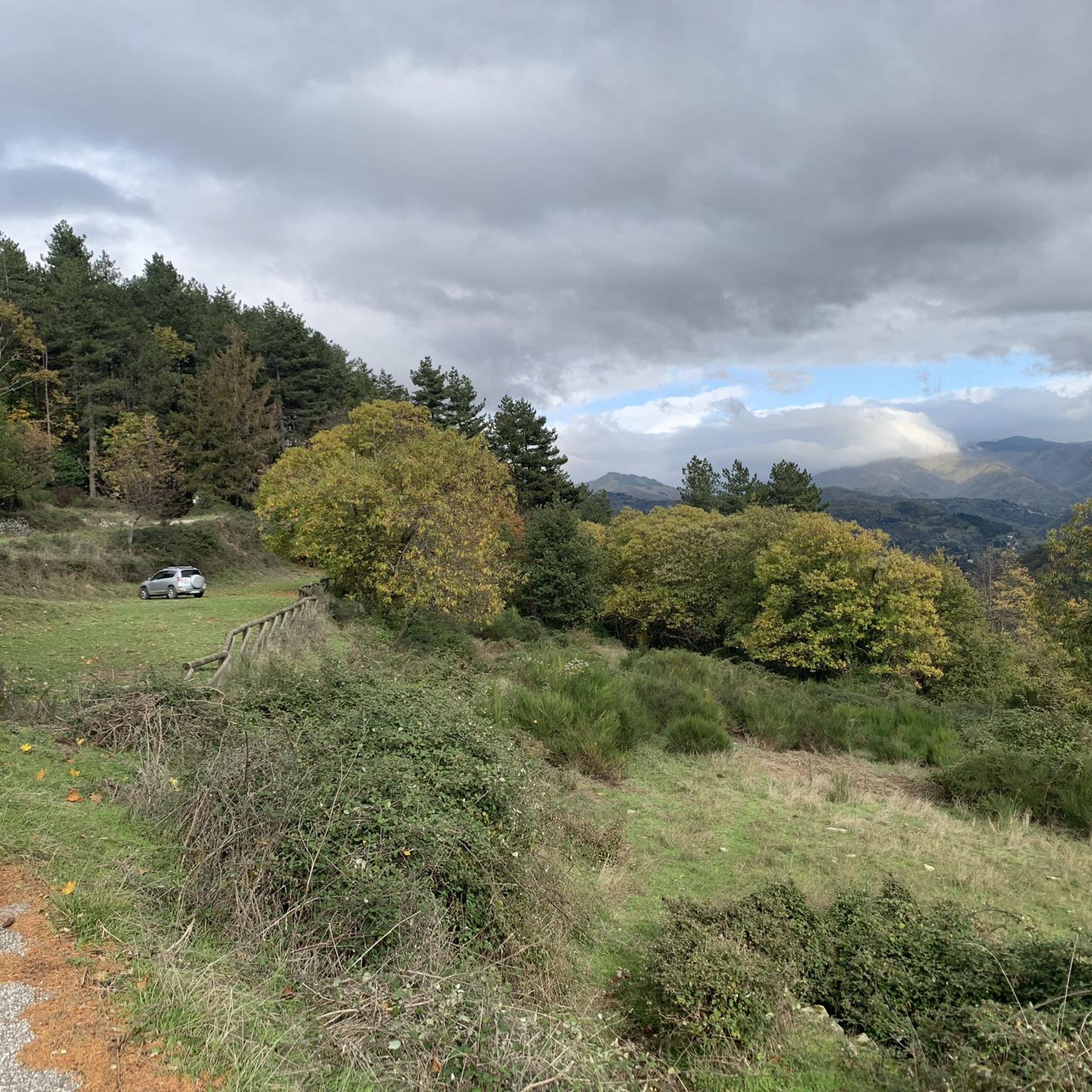
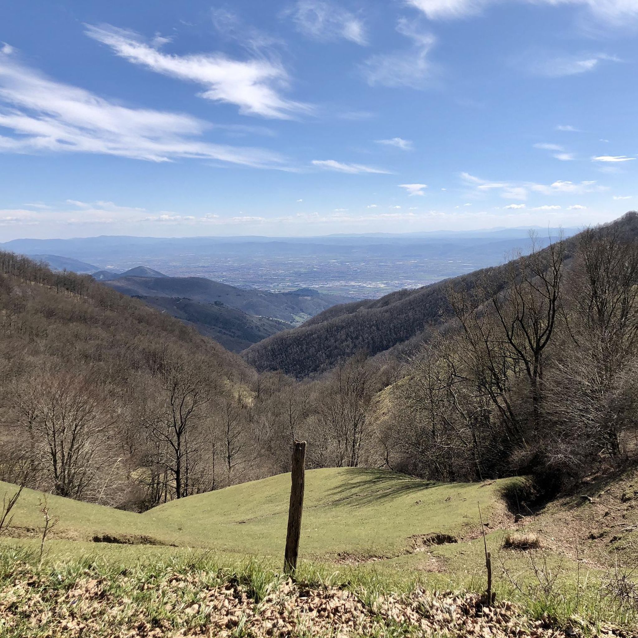
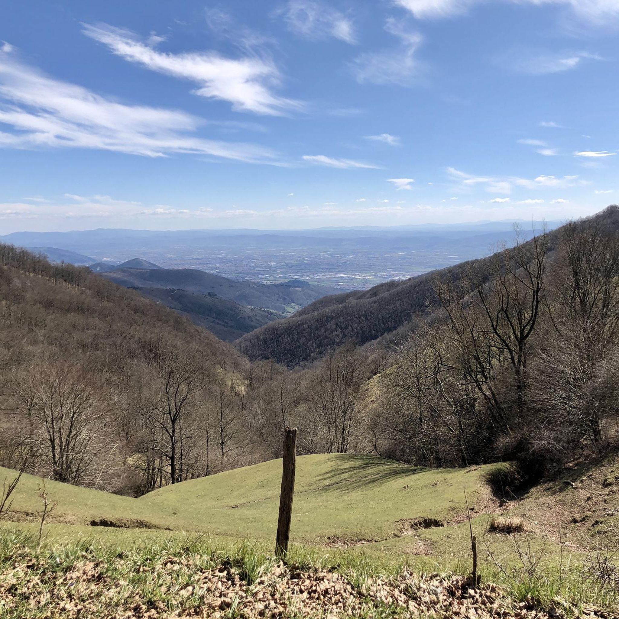
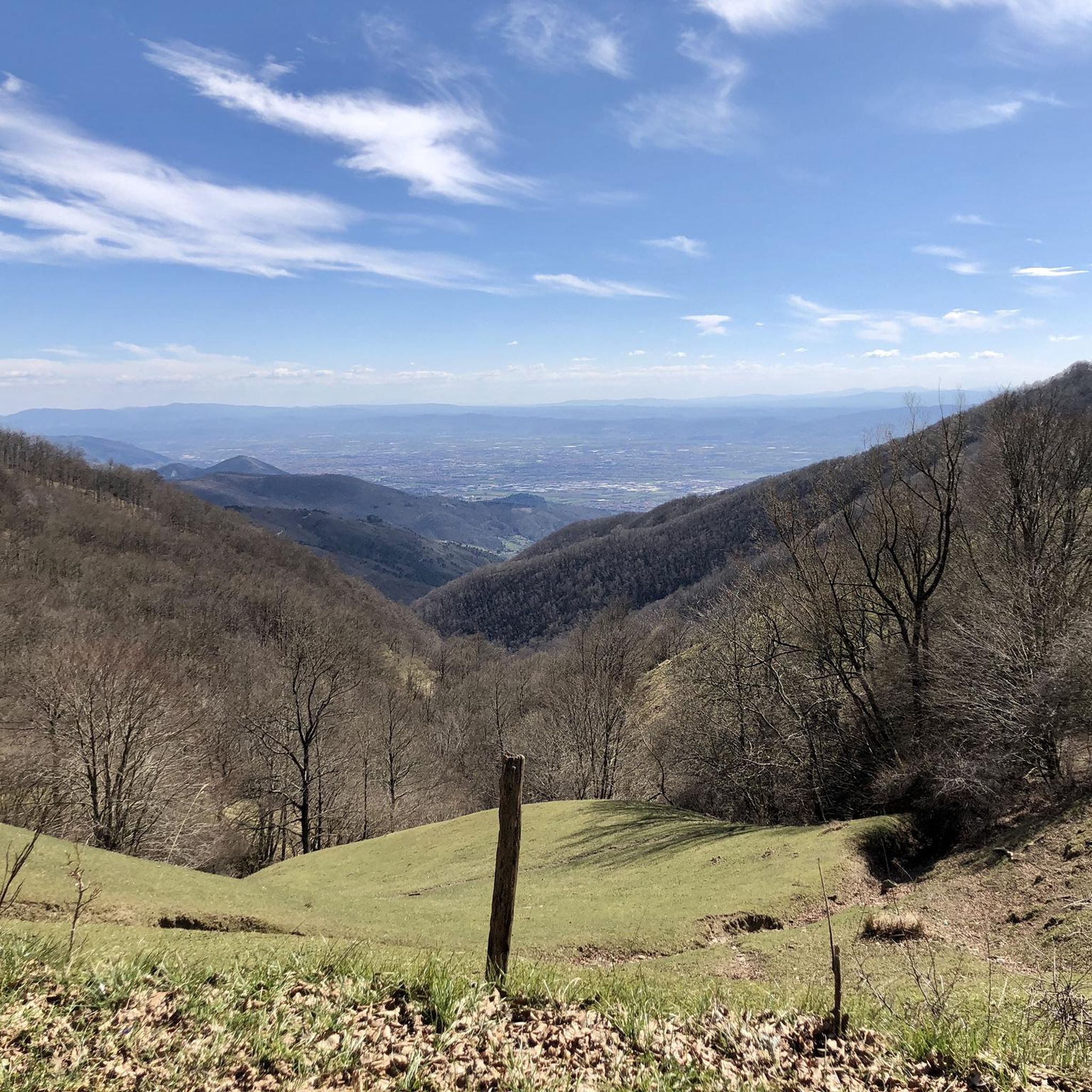
Piazza Giacomo Matteotti is the central square and the nerve center of the municipality of Montale, in the province of Pistoia. [1, 2] It represents the main meeting point for the local community, surrounded by bars, commercial activities, and historical landmarks of the town. Recently, the area has undergone a significant urban redevelopment project that has enhanced its pedestrian spaces.
0
0
Fognano (Montale, PT): A hilly hamlet in the municipality of Montale, in Tuscany. It is located about 160 meters above sea level along the Agna stream, where there is also a renovated natural and wooded area managed by the Pro Loco.
0
0
The Municipality of Montemurlo is located in Piazza della Repubblica 1, in the city center of the plain in the province of Prato. The Historic Tower, commonly identified with the ancient keep of the Rocca (or Castle of Montemurlo), stands instead at about 200 meters altitude on the hill above. It visually dominates the entire plain between Prato, Florence and Pistoia.
0
0
The trails of Monte Javello and its famous Javello Beeches form a network of hiking and MTB routes located in the Prato Apennines, between the municipalities of Montemurlo and Vaiano, in Tuscany. The main trail for hikers is the CAI n. 14 trail of Prato, which winds through dense chestnut and ancient beech woods. This area combines natural beauty with a deep historical memory linked to the partisan Resistance of the Second World War.
0
0

A very beautiful park, always open, at the foot of Monferrato, extending for 8 hectares north of Prato
0
0
Arrived from Tobbiana, beautiful....
0
0

Very useful to avoid the traffic on the provincial road. Unfortunately there are no signs.
0
0

Beautiful gravel track! No Prohibition signs seen!
1
0
Frequently Asked Questions
What is the general difficulty level of gravel bike trails in Riserva Naturale Acquerino Cantagallo?
The trails in Riserva Naturale Acquerino Cantagallo offer a mix of moderate and difficult options. You'll find routes like the Gino Bartali Cycle Path – Bisenzio Riverside Cycle Path loop from La Cartaia 1 which is moderate, alongside more challenging rides such as the Agriturismo San Rocco loop from Chiesina Montalese, which is rated difficult due to its significant elevation gain.
Are there any beginner-friendly gravel bike routes in the region?
While there are no routes explicitly tagged as 'easy', many of the moderate trails, especially those following river paths, can be suitable for beginners or those looking for a less strenuous ride. The Gino Bartali Cycle Path – Bisenzio Riverside Cycle Path loop from La Cartaia 1, for example, offers a relatively gentle experience along the Bisenzio River.
What are some of the longer gravel bike routes available?
For a longer ride, consider the Path Along the Bure Stream – Piazza del Duomo of Pistoia loop from Montale Agliana, which covers approximately 57.6 km (35.8 miles). Another substantial option is the Case Cave Viewpoint – Luogomano Pass loop from Montale Agliana, spanning about 56.4 km (35 miles).
Where are common starting points or parking areas for gravel biking in Riserva Naturale Acquerino Cantagallo?
Many routes in the region start from towns and villages that offer convenient parking. Common starting points indicated in tour names include La Cartaia, Chiesina Montalese, and Montale Agliana. These locations typically provide access to the trail network.
What kind of natural attractions can I expect to see along the gravel bike trails?
The reserve is rich in natural beauty. You can explore highlights such as the ancient Faggione of Luogomano, the serene Acquerino Cantagallo Nature Reserve itself, and the Sources of the Bisenzio. Many trails follow forest roads and river paths, offering scenic views throughout.
Are there any viewpoints or panoramic spots accessible by gravel bike?
Yes, several routes offer excellent viewpoints. For instance, the Torrente Bure di Baggio – View of Pistoia from Germinaia loop from Chiesina Montalese provides stunning views of Pistoia from Germinaia. Other trails, especially those with higher elevation gains, will lead to rewarding vistas over the surrounding landscape.
What is the best time of year for gravel biking in Riserva Naturale Acquerino Cantagallo?
Spring and autumn are generally ideal for gravel biking in this region, offering pleasant temperatures and vibrant scenery. Summer can be enjoyable, especially on shaded riverside paths, but be prepared for warmer weather. Winter riding is possible, but higher elevations may experience colder conditions or occasional snow.
Are there any circular gravel bike routes in the area?
Most of the featured gravel bike routes in Riserva Naturale Acquerino Cantagallo are designed as loops, allowing you to start and finish at the same point. Examples include the Gino Bartali Cycle Path – Bisenzio Riverside Cycle Path loop from La Cartaia 1 and the Torrente Bure di Baggio – View of Pistoia from Germinaia loop from Chiesina Montalese.
Can I find places to stop for refreshments or shelter along the trails?
Yes, the region has several huts and refuges that can serve as stopping points. You might encounter places like the Spedaletto Farmhouse, Le Barbe Refuge, or Cascinale Il Vespaio. These can be good spots for a break or to find shelter.
What do other gravel bikers enjoy most about the trails in Riserva Naturale Acquerino Cantagallo?
The area is highly rated by the komoot community, with an average score of 4.0 stars. Reviewers often praise the diverse landscape, which includes river valleys, rolling hills, and scenic viewpoints. The varied terrain and the network of paths alongside waterways like the Bisenzio and Bure streams are frequently highlighted as enjoyable aspects.
How many gravel bike trails are there in Riserva Naturale Acquerino Cantagallo?
There are at least 5 gravel bike routes documented in Riserva Naturale Acquerino Cantagallo, catering to various skill levels from moderate to difficult.
Most popular routes in Riserva Naturale Acquerino Cantagallo
Most popular attractions in Riserva Naturale Acquerino Cantagallo

Get inspired with the komoot mobile app


Explore more
Browse the best Gravel rides in other regions.
