The best gravel rides in Area Protetta Cascine Di Tavola
4.3
(42)
371
riders
42
rides
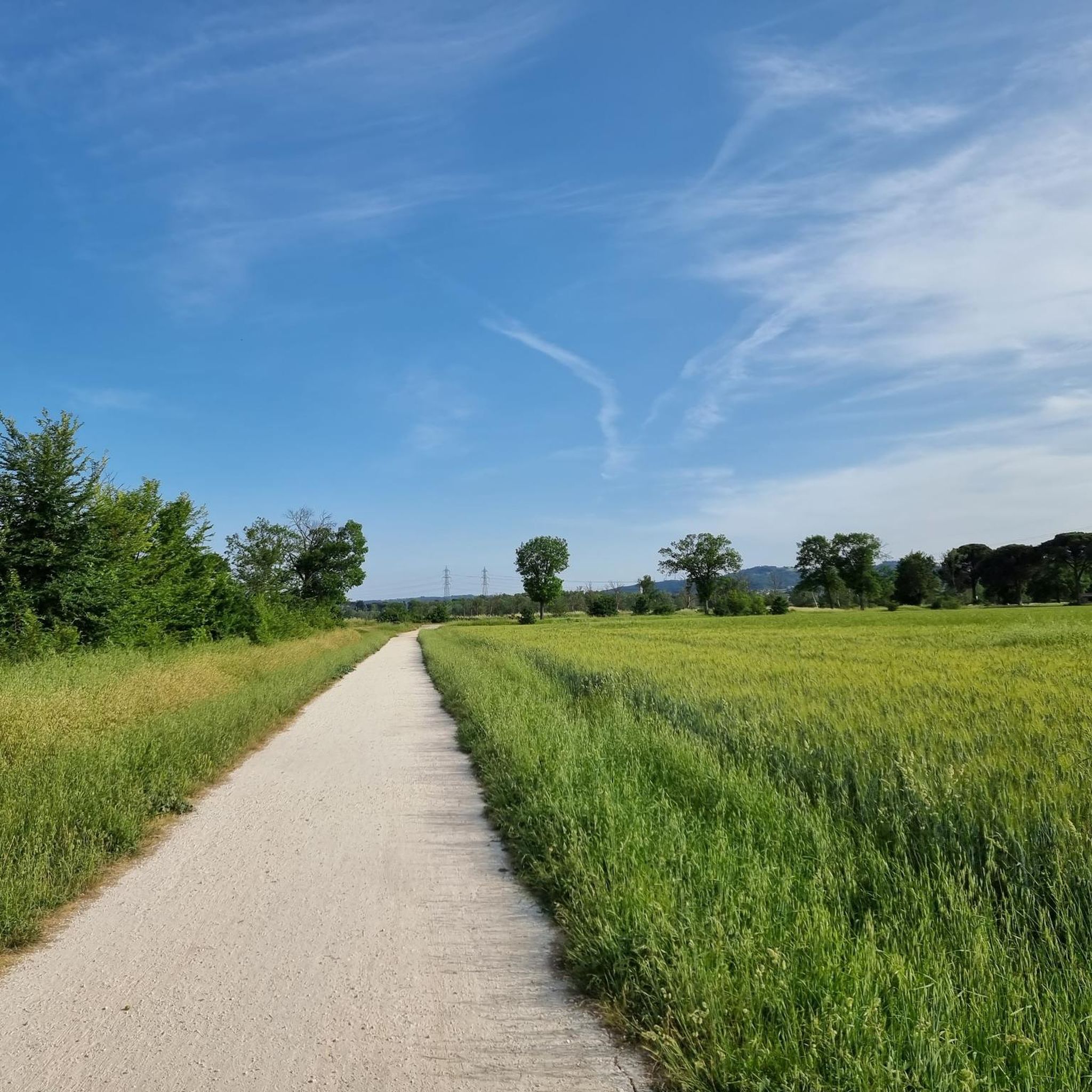
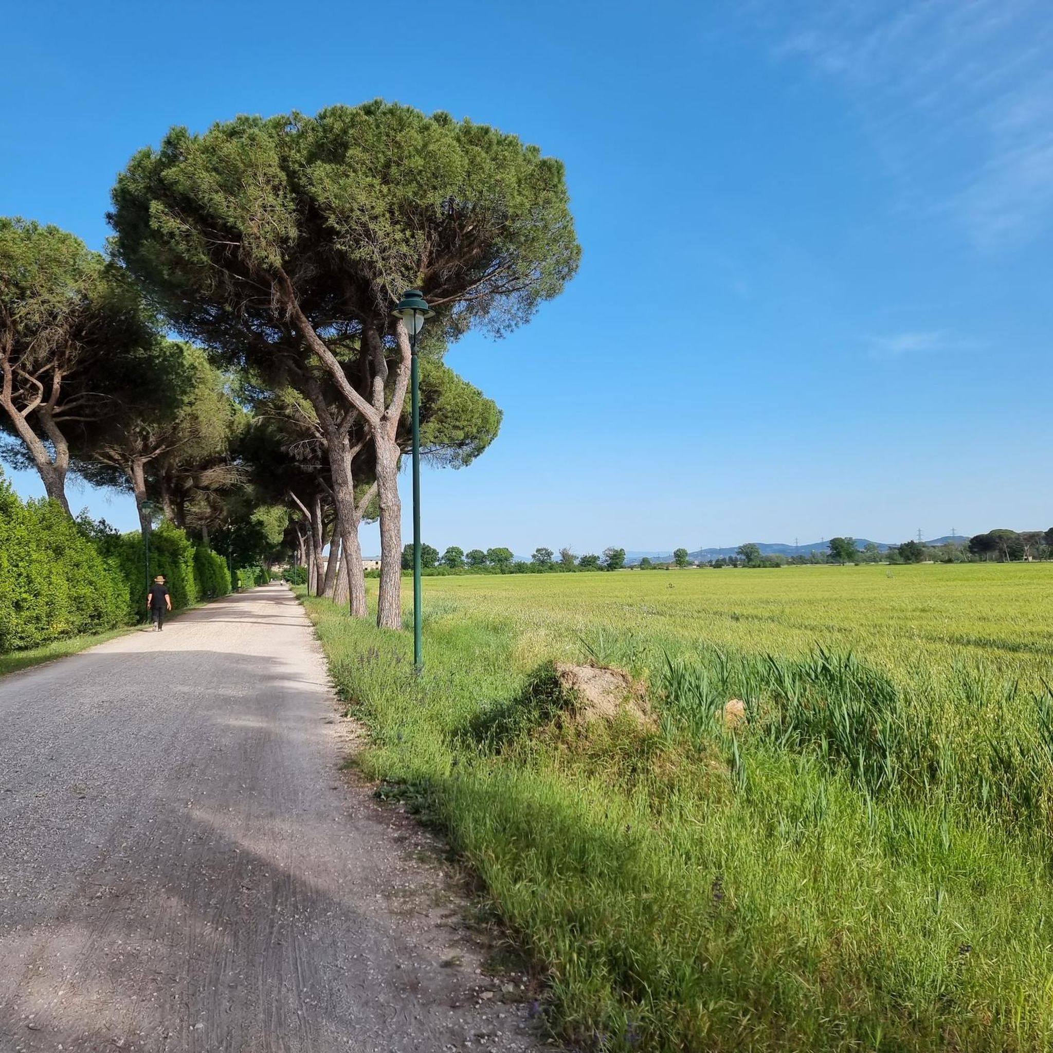
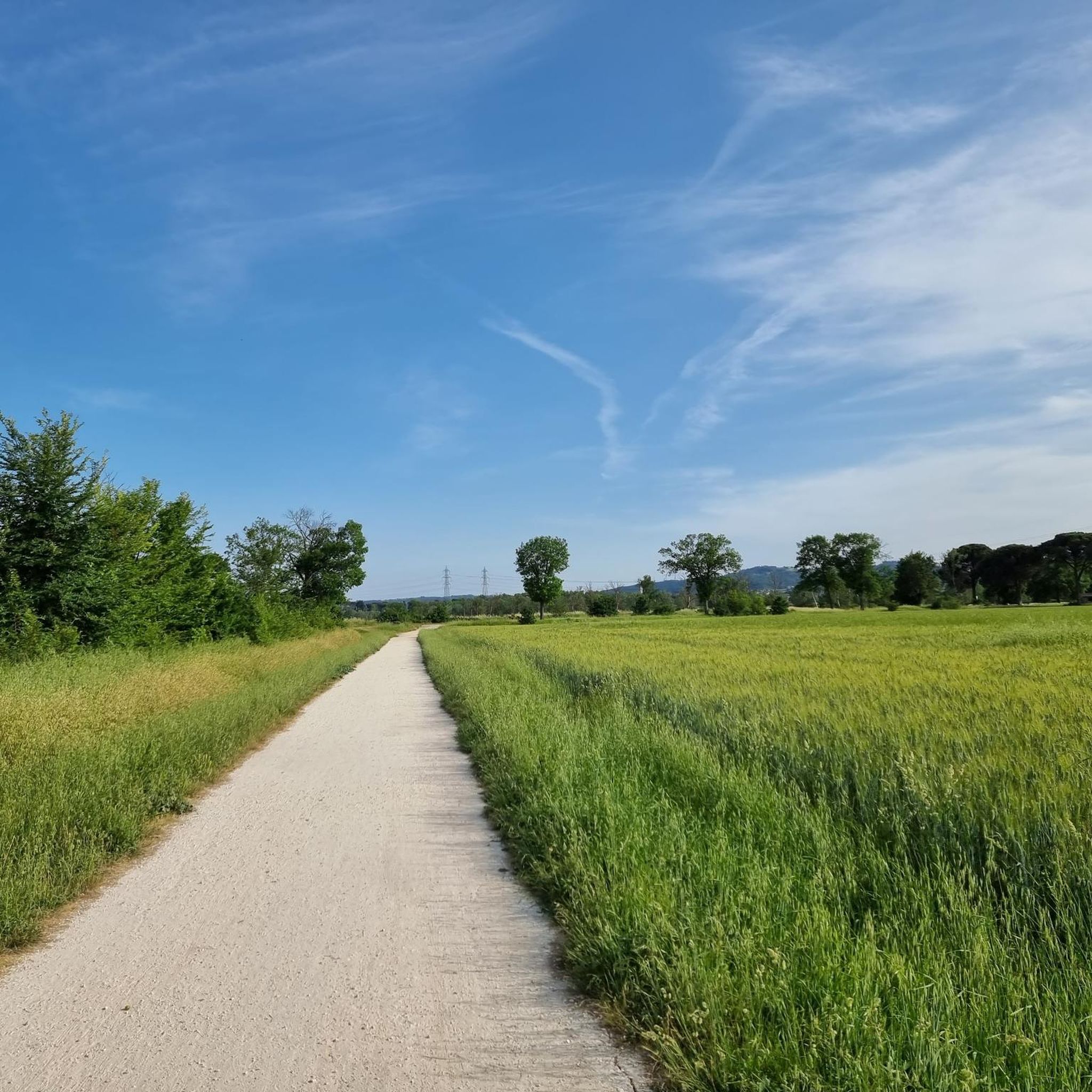
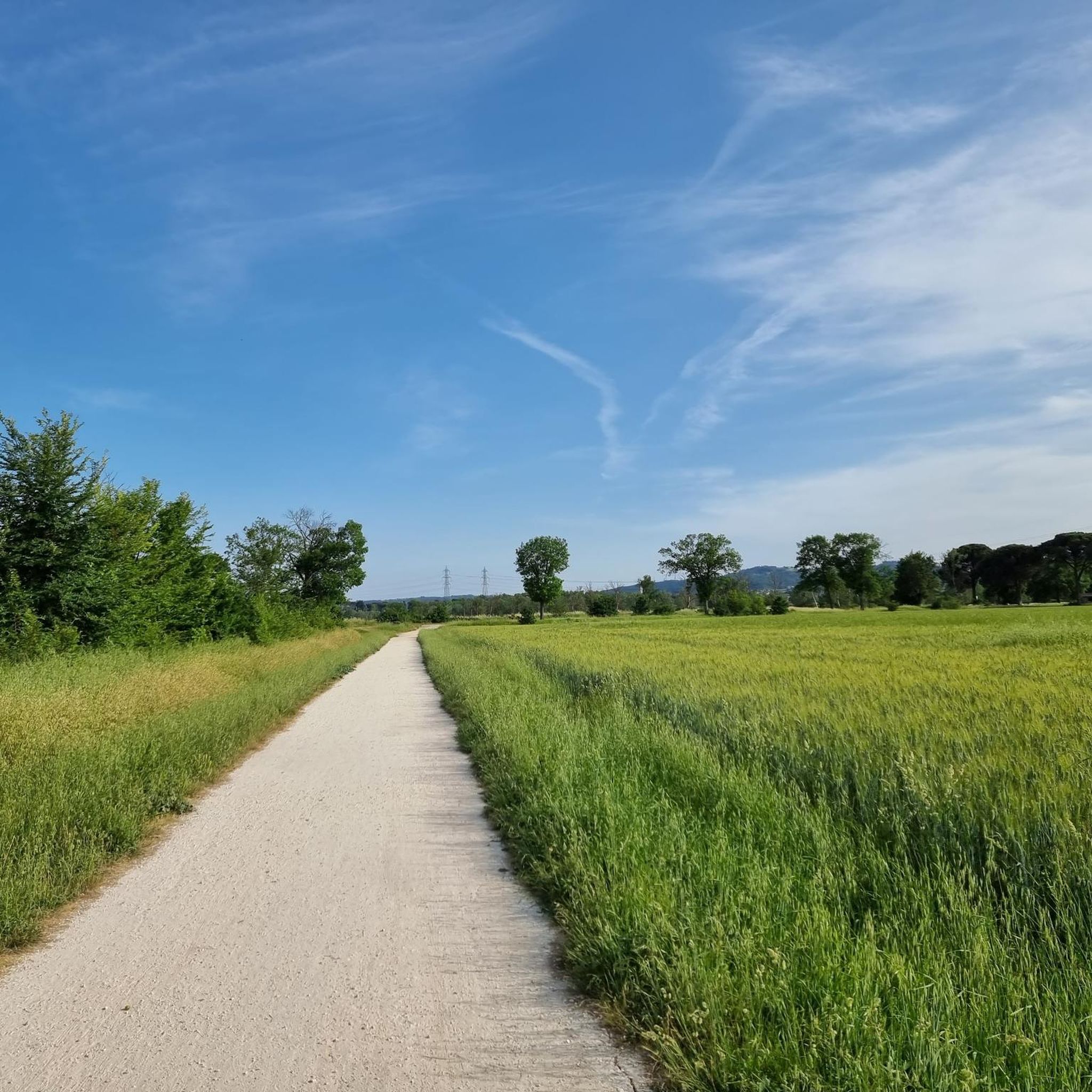
Gravel biking in Area Protetta Cascine Di Tavola offers diverse terrain within a 300-hectare green oasis near Prato, Italy. The area features extensive meadows, wooded sections, and a network of 15th-century canals, alongside an embankment along the Ombrone River. Its historical agricultural estate setting provides unpaved "terra" surfaces, including authentic white roads and dirt roads, ideal for off-road cycling. The flat terrain ensures accessibility for various skill levels, making it suitable for gravel bike trails.
Best gravel bike trails in…
Last updated: July 8, 2026
5.0
(1)
17
riders
42.3km
02:22
110m
110m
Moderate gravel ride. Good fitness required. Mostly paved surfaces. Suitable for all skill levels.
9
riders
Moderate gravel ride. Good fitness required. Mostly paved surfaces. Suitable for all skill levels.

Sign up for free
4.4
(5)
49
riders
62.6km
03:44
490m
490m
Hard gravel ride. Very good fitness required. You may need to push your bike for some segments of this route.
7
riders
43.3km
03:24
770m
770m
Hard gravel ride. Very good fitness required. Mostly paved surfaces. Suitable for all skill levels.
5.0
(2)
17
riders
26.9km
01:57
490m
490m
Hard gravel ride. Very good fitness required. Mostly paved surfaces. Suitable for all skill levels.
Get access to more routes and recommendations from other explorers.
Sign up for free
Already have an account?
Our route recommendations are based on thousands of hikes, rides, and runs completed by other people on komoot.
Start today with a free account
Your next adventure awaits.
Login or Signup
Popular around Area Protetta Cascine Di Tavola
Other adventures in Area Protetta Cascine Di Tavola

Tips from the Community

The cycle and pedestrian bridge over the Bisenzio located in the Gonfienti area (on the border between Prato and Campi Bisenzio) is a key infrastructure that connects the cycle path along the river and unites the archaeological site of Gonfienti with the Interporto della Toscana Centrale. The area is located on the eastern outskirts of Prato, near the confluence of the Marinella stream into the Bisenzio. The bridge is easily reached from viale Alcide De Gasperi, shortly after Ponte Petrino
0
0
The cypresses of Monte Buriano are located in the hilly and mountainous area overlooking Montemurlo, in the province of Prato, along the paths that connect the Val di Bisenzio and the Monteferrato massif. The municipality of Montemurlo is famous for hosting the largest number of monumental trees registered in Tuscany, with historic specimens and protected rows that enrich the nature trails and historic estates in the area.
0
0
The cycle path in the Bagnolo (Prato) and Montemurlo area you are referring to is part of the new route of the Ciclovia del Sole. It is a cycle and pedestrian infrastructure that crosses the green area of the plain and develops parallel to the banks and the redeveloped areas of the Ficarello stream.
0
0
The Gino Bartali cycle path is a charming, flat, and safe route along the Bisenzio river in Prato. Ideal for urban commuting and excursions, it extends for over 30 km in total, connecting to the nearby Fausto Coppi cycle path towards the Val di Bisenzio. The route starts from the Petrino bridge area, runs along the river, crosses the historic center of Prato skirting the old walls, and continues south to the Gonfienti archaeological area. It is a perfect itinerary for families and nature lovers, completely separated from car traffic. Near viale Galilei, you will find numerous refreshment points and green areas for a break.
0
0
1Alfredo Binda Cycle Path in Prato (Tuscany) It is a section of the Prato river cycle network that crosses the Prato countryside along the waterways
0
0
In Galceti I used to have a snack when I was little with my family
0
0
Parco delle Cascine di Tavola is a protected natural area and a public park of about 300 hectares located in the southern part of the municipality of Prato. Born in the 15th century at the behest of Lorenzo the Magnificent, it represents the main green lung of the city and combines immense historical, landscape, and agricultural value. Project by Lorenzo the Magnificent: Conceived in the 15th century together with the nearby Villa Medicea di Poggio a Caiano. It was born as a model farm equipped with a dense network of canals for land reclamation from marshes. The Medici Farm: A square building with a water moat, built by Giuliano da Sangallo between 1477 and 1479 for livestock breeding and the production of cheeses destined for Florence.
0
0
Parco delle Cascine di Tavola is a protected natural area and a public park of about 300 hectares located in the southern part of the municipality of Prato. Founded in the 15th century at the behest of Lorenzo the Magnificent, it represents the city's main green lung and combines great historical, landscape, and agricultural value. Project by Lorenzo the Magnificent: Conceived in the 15th century along with the nearby Villa Medicea di Poggio a Caiano. Cutting-edge agricultural estate: It was born as a model farm equipped with a dense network of canals for land reclamation from swamps. The Medici Farm: A square building with a water moat, built by Giuliano da Sangallo between 1477 and 1479 for livestock breeding and the production of cheeses for Florence.
0
0
Frequently Asked Questions
How many gravel bike trails are available in Area Protetta Cascine Di Tavola?
There are over 60 gravel bike trails in Area Protetta Cascine Di Tavola, offering a wide range of options for different skill levels. You'll find routes from easy to difficult, ensuring there's something for everyone.
What kind of terrain can I expect on gravel bike trails in Area Protetta Cascine Di Tavola?
The Area Protetta Cascine Di Tavola is known for its diverse terrain, featuring extensive meadows, wooded sections, and a network of 15th-century canals. You'll primarily ride on unpaved 'terra' surfaces, including authentic white roads and dirt roads, making it ideal for gravel biking. The area is generally flat, offering smooth riding without extensive asphalt sections.
Are there any easy gravel bike routes suitable for beginners in Area Protetta Cascine Di Tavola?
Yes, the area offers several easy routes perfect for beginners. One popular option is the Tigliano Bridge – Alfredo Binda Cycle Path loop from Carmignano, which is 15.9 miles (25.6 km) long and follows a dedicated cycle path, making it a comfortable ride for those new to gravel biking.
What are some notable landmarks or historical sites I can see along the gravel bike trails?
Area Protetta Cascine Di Tavola is rich in history. You can explore the monumental complex of the Villa di Poggio a Caiano, including the Villa Medici and the impressive Medici Farm of the Cascine di Tavola, which is surrounded by a wide moat and fortified walls. The Manetti Bridge is another significant historical landmark you might encounter.
Are there any challenging gravel bike routes for experienced riders?
Absolutely. For experienced riders seeking a challenge, the View of Comeana – Arno River loop from Carmignano is a difficult 31.6 miles (50.9 km) path. Another demanding option is the Arno River Cycle Path – Arno River loop from Signa, which covers 40 miles (64.3 km) with significant elevation changes.
What do other gravel bikers enjoy most about gravel biking in Area Protetta Cascine Di Tavola?
The area is highly rated by the komoot community, with an average score of 4.2 stars from over 40 reviews. Riders often praise the varied terrain, from extensive meadows to wooded sections, and the historical agricultural roads that provide an authentic off-road experience. The flat terrain and accessibility year-round are also frequently highlighted.
Are there any circular gravel bike routes in the area?
Yes, many of the gravel bike trails in Area Protetta Cascine Di Tavola are designed as loops, allowing you to start and end at the same point. For example, the Manetti Bridge – Carmignano Town Center loop from Museo d'arte contemporanea Luigi Pecci is a 19.1 miles (30.7 km) circular route that takes you through historical areas.
What is the best time of year for gravel biking in Area Protetta Cascine Di Tavola?
The flat terrain and unpaved surfaces of Area Protetta Cascine Di Tavola make it accessible for cycling year-round. However, spring and autumn generally offer the most pleasant temperatures and beautiful scenery, with lush greenery or vibrant fall colors. Summers can be warm, while winters are typically mild.
Where can I find parking for gravel biking in Area Protetta Cascine Di Tavola?
While specific parking areas are not detailed in every route description, the area is generally well-equipped for visitors. Given its proximity to Prato and its status as a protected area, you can typically find parking near main access points or trailheads. It's advisable to check local signage upon arrival.
Are there any routes that offer significant elevation gain for a more strenuous workout?
Yes, some routes provide more significant elevation gain. The Alfredo Binda Cycle Path – Javello Climb loop from Galciana, for instance, features nearly 500 meters of elevation gain over its 17.5 miles (28.1 km), offering a challenging climb for those looking to push their limits.
What natural features are prominent along the gravel bike trails?
The trails wind through extensive meadows and wooded sections, including the dense 'Pavoniere' woods. You'll also encounter a network of historical canals, originally designed in the 15th century, and an imposing embankment along the Ombrone River, all contributing to the unique natural and historical landscape.
Most popular routes in Area Protetta Cascine Di Tavola
Most popular attractions in Area Protetta Cascine Di Tavola

Get inspired with the komoot mobile app


Explore more
Browse the best Gravel rides in other regions.
